Dan Hammer
danham.me/r
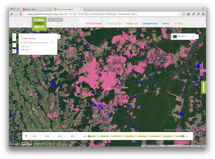
Global Forest Watch
A joint project of the World Resources Institute and Google, among others, to use satellite imagery and large-scale computing to report open and timely information on the world's forests.
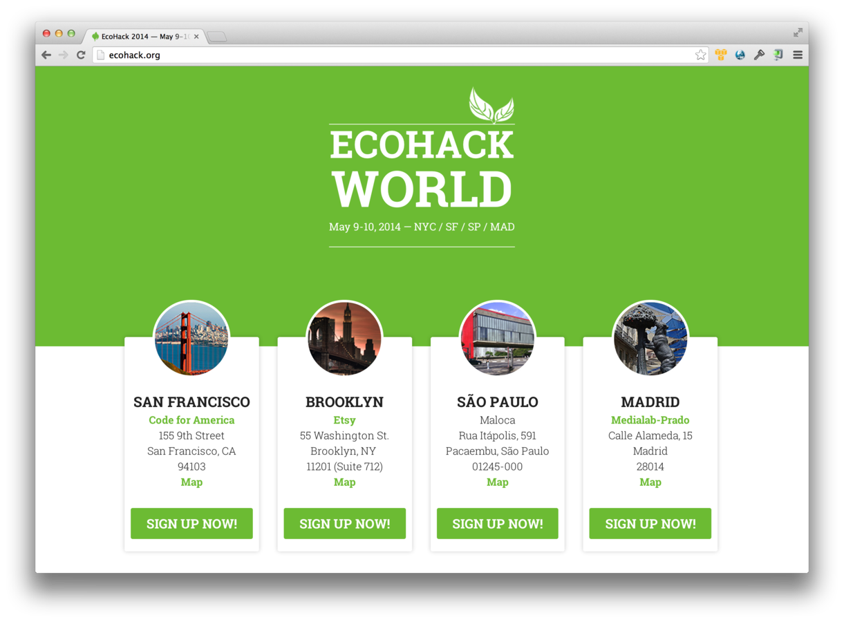
ECOHACK
A two-day hackathon with an environmental character. This was the third year. Global. Well, like four cities.
Econometrics
Statistics for social scientists. An attempt to parse causality in a world where everything moves together. Now called data science.
Image Analysis
Computer vision for satellite imagery. Bascially enhancing remote sensing with face detection, mostly in Clojure, Python, and R. APIs for imagery.