Management AND
Analytics oN
Geotemporal
Data
MAGDa
Spatial Databases
Graph-based data models
Semantic Web
3D GIS and BIM
Cluster computing
Forecasting
Data visualization
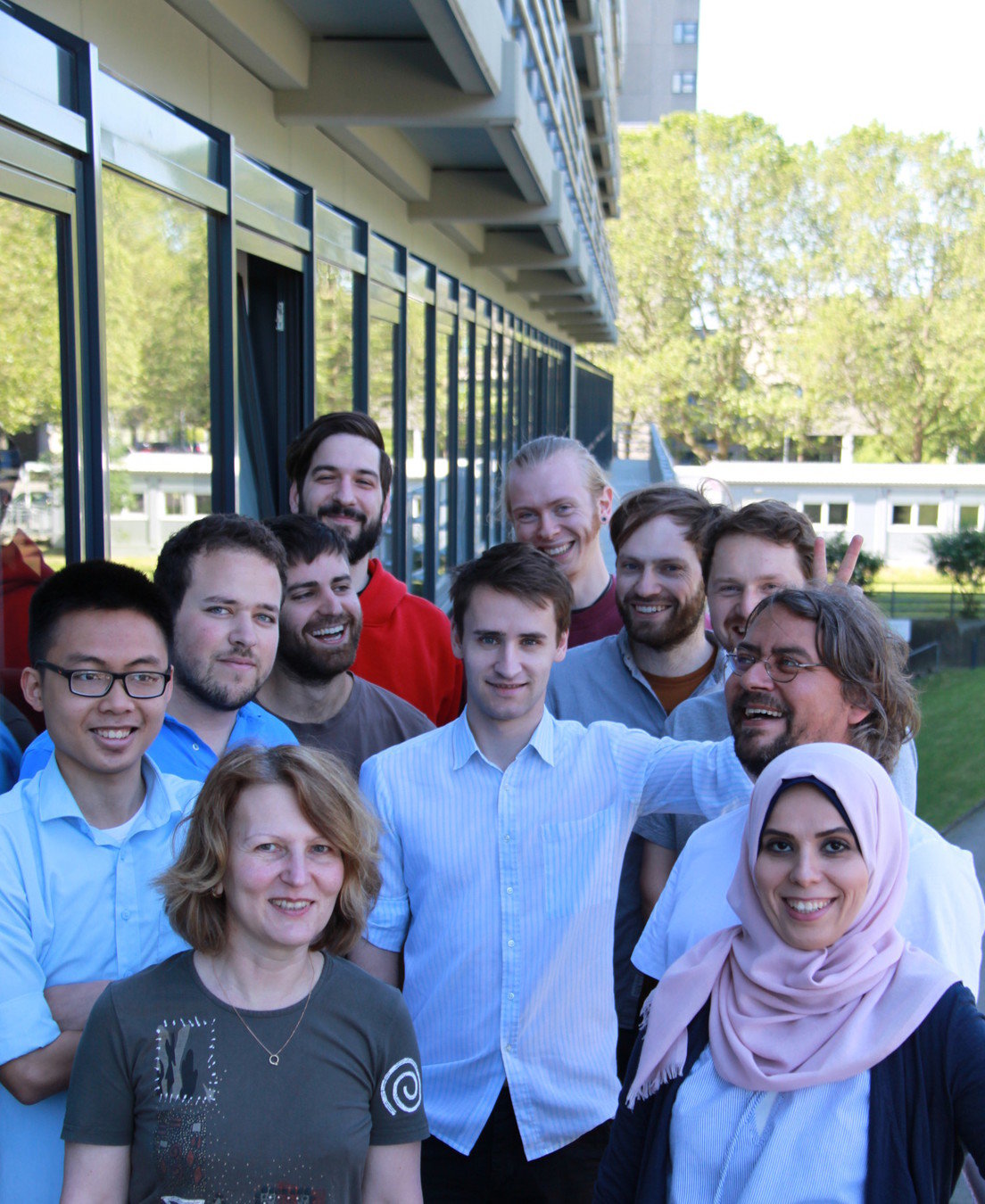
https://projekt.beuth-hochschule.de/magda/

10 yrs time series from sensors
Floating Car Data from 500 taxis
Goal1: Crowdsourced Traffic Plattform
Goal2: Mobility Services
Goal3: Spatial Data Streaming / Mining
Goal4: Forecasting / Anomaly Detection
Methods: Statistical & Machine Learning (Python), Linear Referencing (PostGIS), Routing (Graphhopper, Java)
http://excell-mobility.com/


LIDAR Scans of Buildings
Goal1: Integrating BIM with GIS
Goal2: Query BIMs with semantic web technologies
Goal3: Test different aquisition methods and user interfaces for data exploring
Methods: RDF, SPARQL (Fuseki), Pointcloud Storage (PostgreSQL, MonetDB?)


Big Spatial Data
Are FOSS4G Tools we love
Too weak for Big Data?


How To Go Big?











Pros
Scale Out!
Easy in the cloud (AWS etc.)
Many specialized tools
Growing user base (even some GIS people)
Cons
Great lack of spatial functionality
Great lack of knowledge
Great lack of communities
Writing queries can be a PITR
Why not stick to our guns?
Do we actually have Big Data?
Not needed for simple features...
Big Spatial Data
https://www.youtube.com/watch?v=ffuxZ8m2TIc
These are not simple features
What do these examples have in Common?
But, it does not feel like the right match. and yes, it's slow...
We CAn use PostGIS.
Solution
Extend FOSS4G tools
[Array,Column,GPU]-DBs
Data Processing Pipelines
Data Streaming
Technology
Postgres forks, GDAL, PDAL
SciDB, MonetDB, MapD
GeoTrellis, PySpark, R
...