Crowdsourcing as the possible solution to inaccurate navigation systems for handicapped people
| Bc. Michaela Riganová

There is a significant need for navigation system, which would provide handicapped people with information about the presence of existing landmarks, obstacles and other features of pedestrian communication.

How to collect these data efficiently?
How to make sure that all the data will be properly described?
The Context of Research
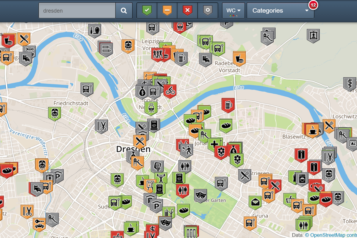
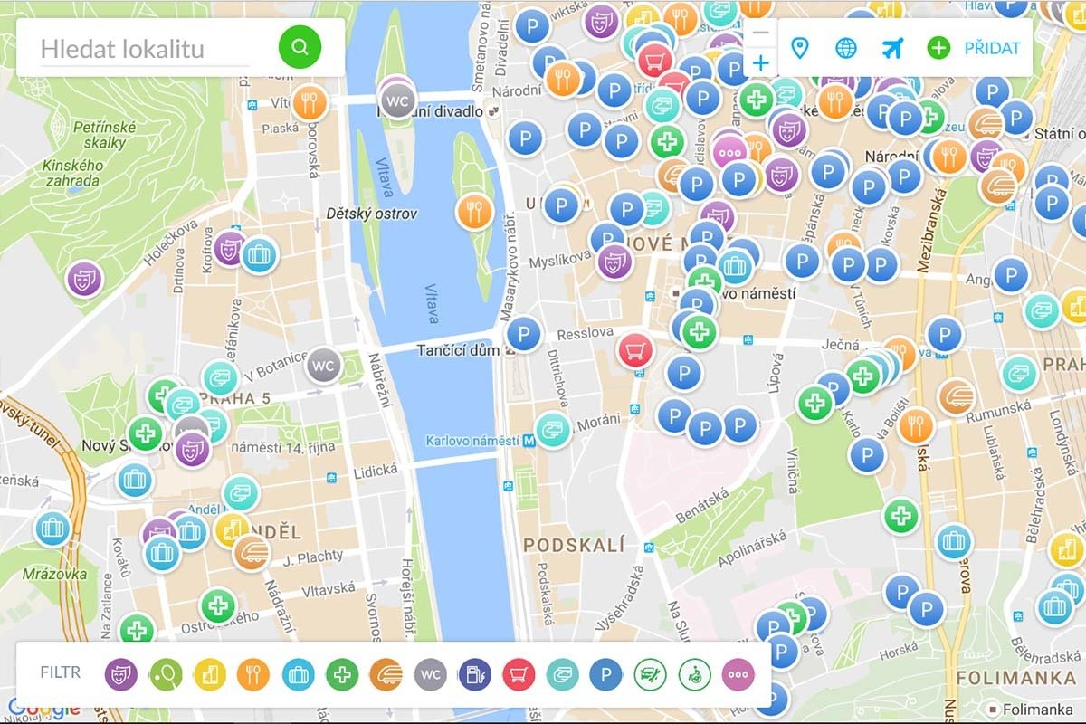
Naviterier
| route-planning for blind pedestrians
The Context of Research
Naviterier
capable of producing route descriptions with complex information about significant landmarks in a vicinity, the slopes of sidewalks, corner shapes, temporary obstacles, traffic noise, etc.
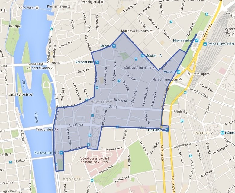
covers 53 km of sidewalks, crossings and pedestrian areas in the city centre of Prague


| route-planning for blind pedestrians
How to gather this huge amount of data which the Naviterier needs to work with?
Geo-crowdsourcing | Letting ordinary people (crowd) provide spatial data (outsource).
OpenStreetMap
generating a free, editable source of map data through the work of volunteers
Modern technology makes it very easy for anybody to collect and share spatial data.
WheelMap
gathers accessible features of points of interest for wheelchair users
VozejkMap
provides maps, navigation and information about barrier-free sites in the Czech Republic
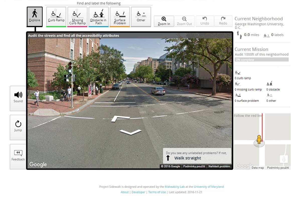
SideWalk
traveling through cities and searching for accessibility features and problems in the environment
Geo-crowdsourcing
A big volume of hard-to-obtain data which we can gathered in short time with minimal investment.

Possible problems of crowdsourcing | Alan Armstrong, 2014
1. Non-expert contributors cannot produce the same quality of data as legitimate professionals.
2. Non-expert contributors use amateur equipment and tools, so their results cannot be as precise as those of professionals.
3. Every contributor has a different motivation for participating in crowdsourcing. Some of the contributors might intentionally abuse the system with wrong data.
Armstrong, Alan. "Does the Wisdom of Crowds have a place in the realm of GIS?.", 2014.
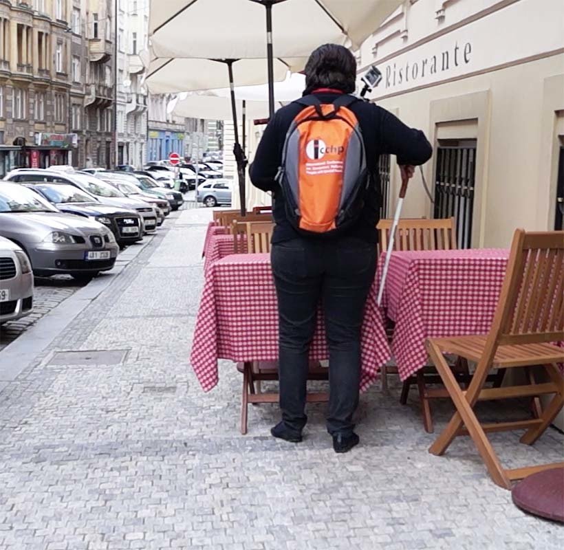
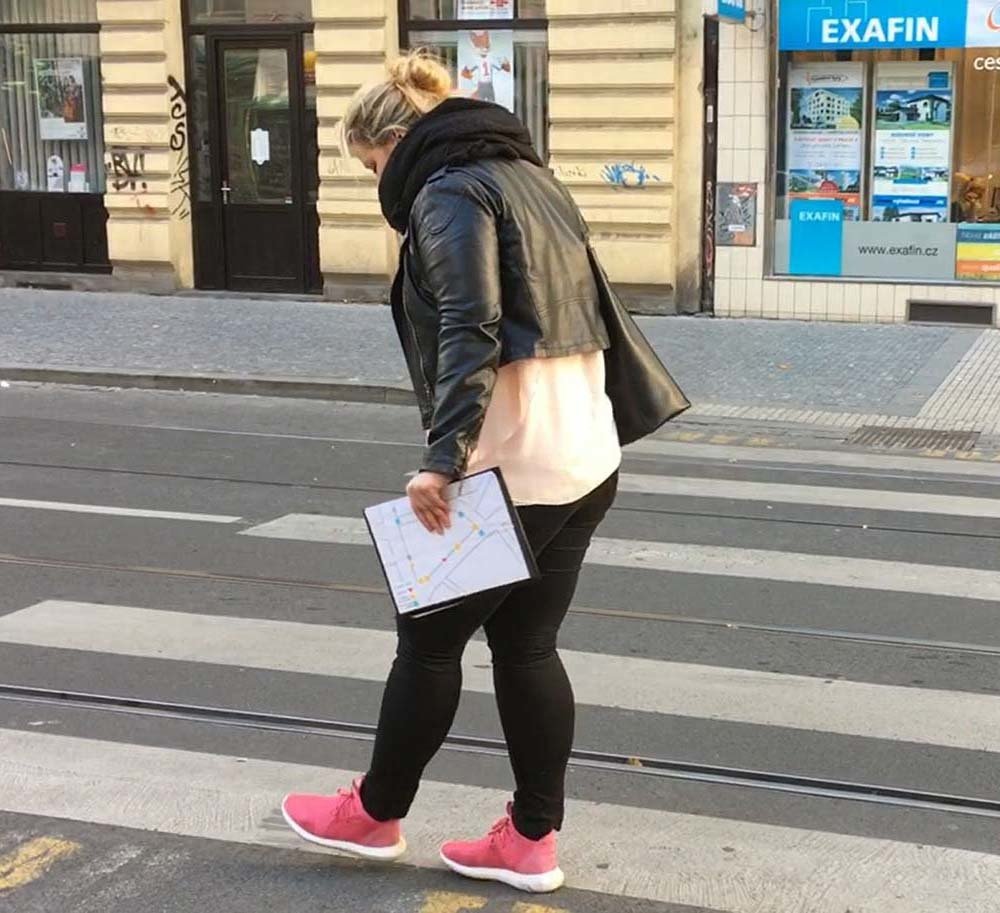
Experiment
Participants
- 11 young and middle-aged persons, both females and males
- experienced in the use of smartphones and mobile applications
- divided into 3 focus groups
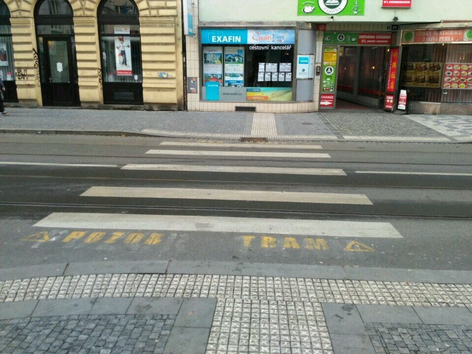
Location
- quiet area in the city center of Prague, Czech Republic
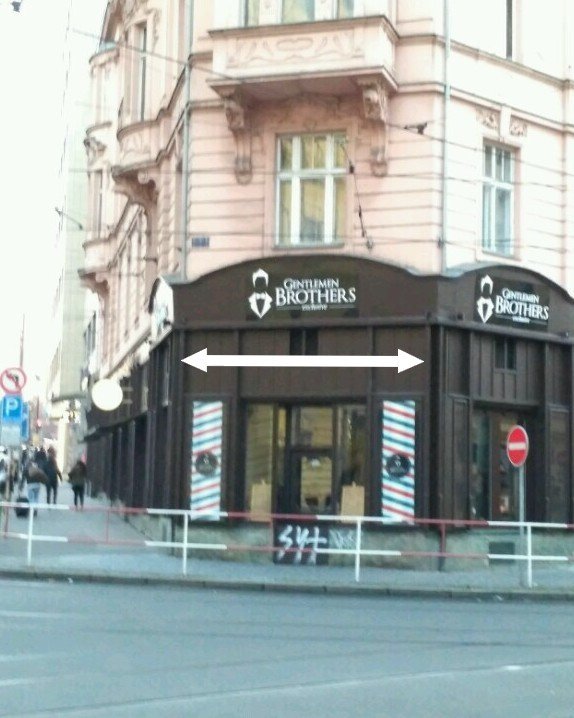
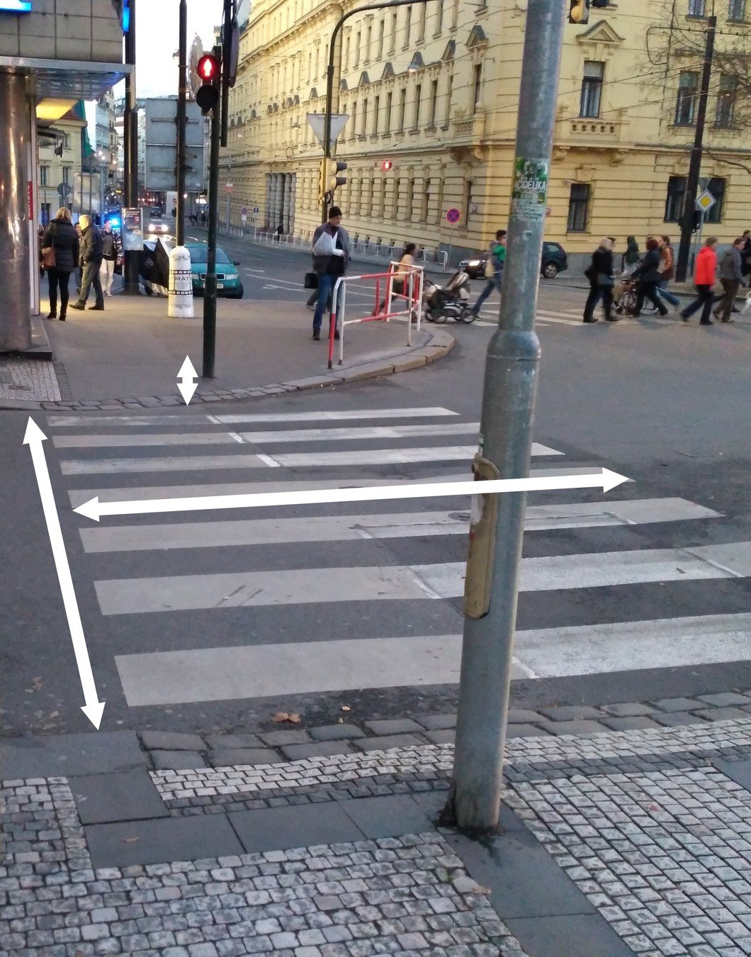
- approximately 200 meters long
- consists of 4 segments, 3 landmarks, 2 obstacles and 1 stop place
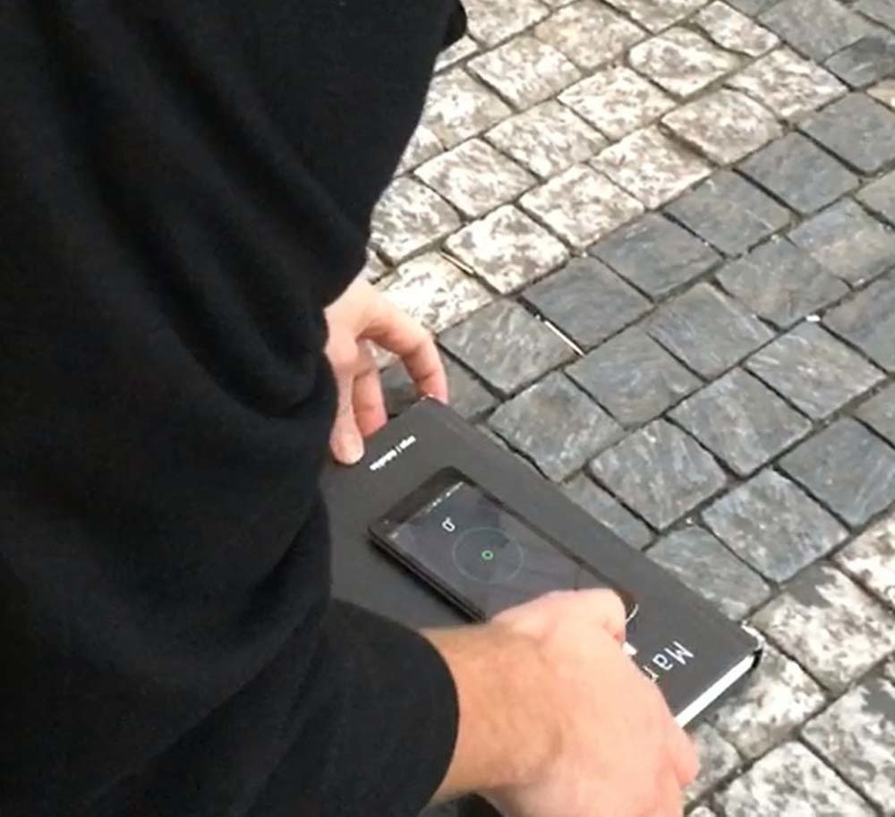
Equipment
- no special technology or measuring tools
- only their personal belongings and smartphones
Data collection.
- in each session one video stream of the participant's activities
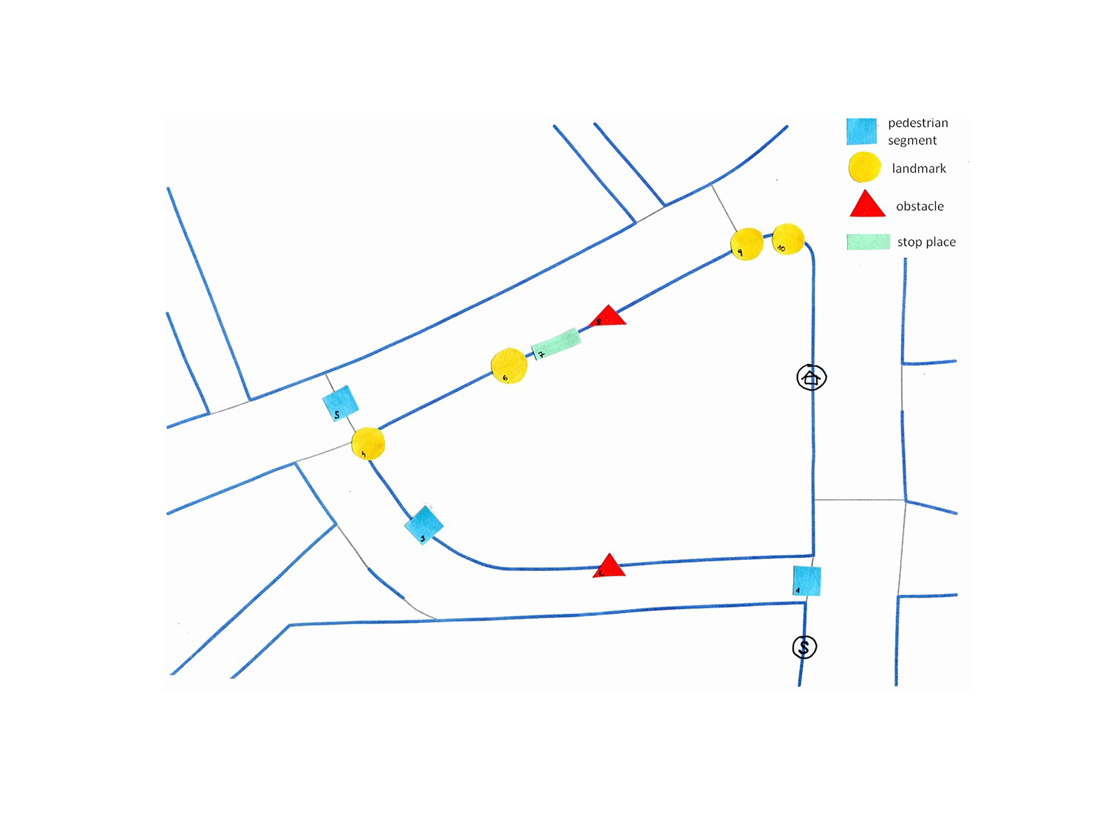
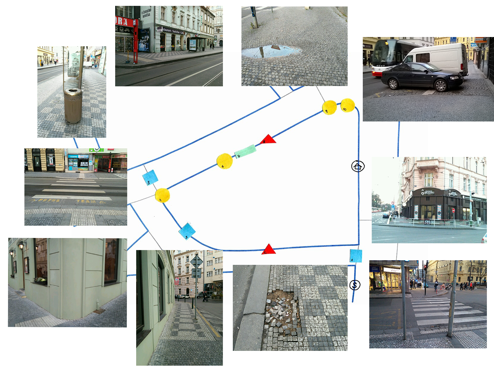
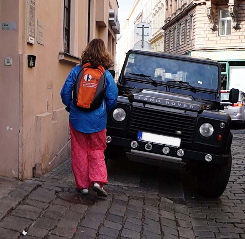
Experiment procedure
“Paul, a friend of yours, is planning to visit Prague. Unfortunately, he broke a leg during exchanging a broken bulb in his bedroom, just two weeks before his visit. Paul doesn't want to disappoint you and he still plans to come. You've already sent him the instructions on how to get from the Airport to your apartment. You have already checked, that the both entry and exit subway stations are wheelchair accessible, but you also want to make sure that his journey from the subway stop right to your apartment will be smooth and without any complications even in a wheelchair.”
Experiment outcomes
Recognition
- participants struggled to identify all the necessary features for navigation of handicapped users
- they couldn’t identify what objects on the street are the real obstacles for handicapped users and witch properties are exactly needed for safe navigation
Experiment outcomes
Terminology
- participants had no problem with naming pedestrian segments and landmarks
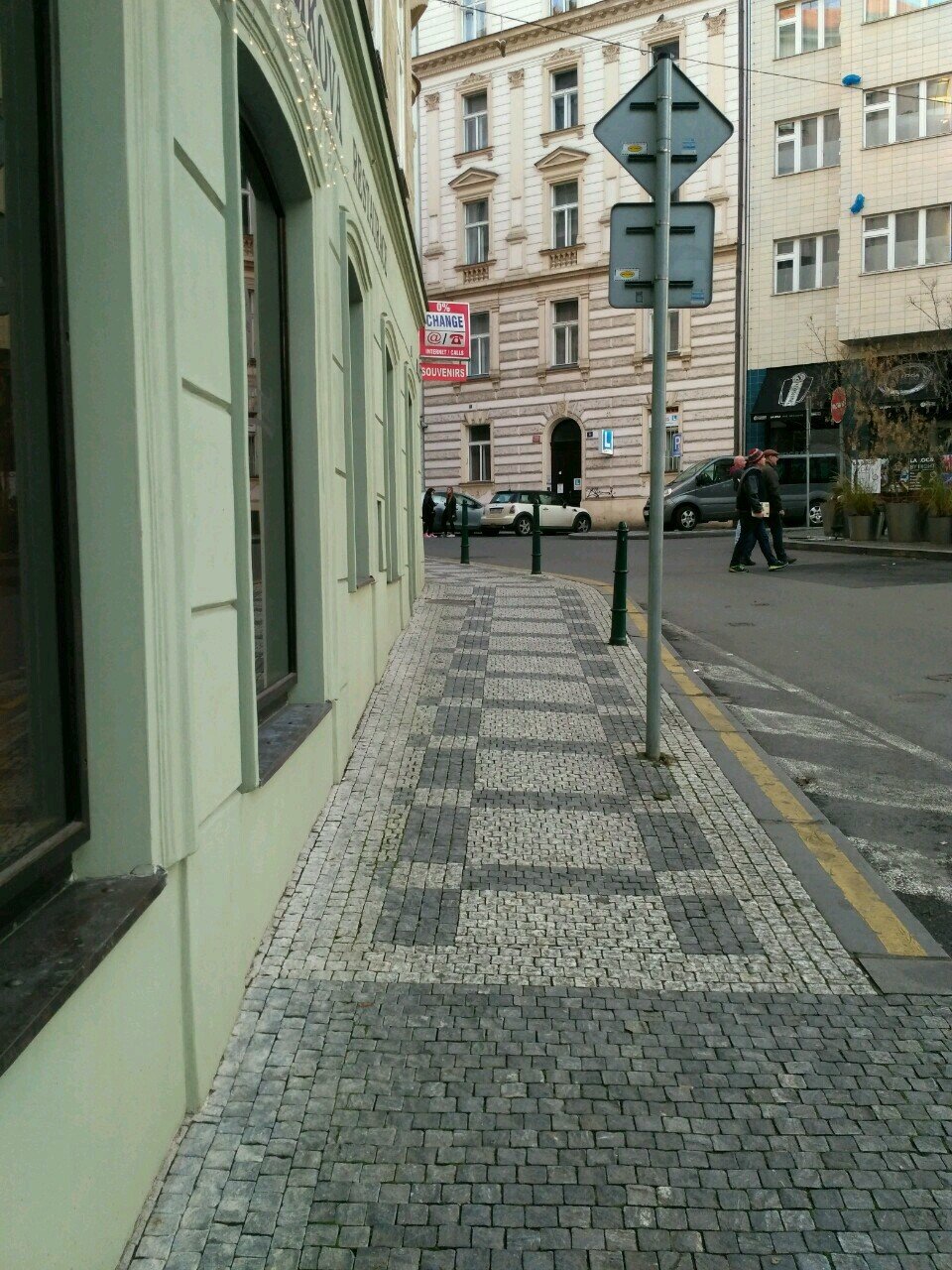
- participants struggled to correctly name some of the properties of pavement segments and landmarks: shapes of corners, different kinds of slope, tactile paving surfaces
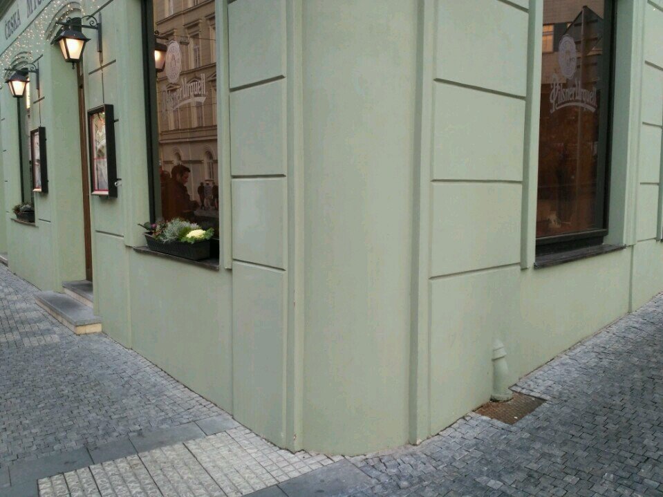
"round" "rounded" "roundish"
"direct" & "side"
↔
longitudinal & cross
tactile paving surfaces
Experiment outcomes
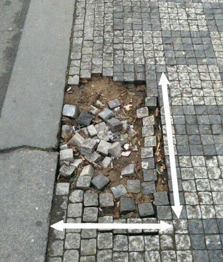
Measuring
- used techniques: stepping, feet, credit cards and squared paper
- participants struggled to measure exact slope of pavement segments
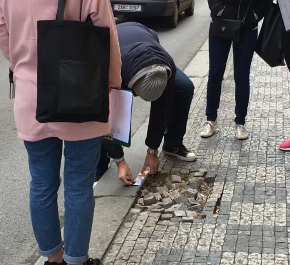
feet
mobile app
credit cards
Experiment outcomes
Deviations in measurements
- values measured by participants only slightly differ from the actual values
- measurement methods chosen by participants quite accurate
actual values
group 3
group 2
group 1
w: 400 l: 750 h: < 2
w: 450 l: 720 h: 1.5
w: 400 l: 750 h: < 2
l: 600
l: 600
l: 600
w: 47.3 l: 73.1
w: 48.0 l: 70.0
w: 50.0 l: 70.0
w: 50.0 l: 70.0
w: 400 l: 770 h: 1.6
l: 560
Motivation for geo-crowdsourcing
Some participants do not feel motivated at all - they do not have any relative or friend who would be handicapped, therefore the whole topic seems rather distant for them ↔ those who have relative or a friend with a disability, confirmed that their motivation is much higher.
- element of gamification
- gathered data useful also for non-handicapped people: traffic noise, atractivness of routes
Klettner, Silvia, et al. "Acquisition and Cartographic Applications of Subjective Geodata." Cartography from Pole to Pole: Selected Contributions to the XXVIth International Conference of the ICA, Dresden. Eds. M. F. Buchroithner, N. Prechtel, and D. Burghardt. 2013.
Recommendation for future crowdsourcing application
1. The application should provide contributors with proper guidance and instructional pictures, so that even non-expert contributors are capable of producing data of acceptable quality.
2. Contributors should provide only objective information about the requested pedestrian segments and landmarks, such as width, height, depth, slope, material etc. They should not subjectively evaluate the accessibility or safety of the requested pedestrian segments and landmarks.
3. We need to raise public awareness about lives and certain needs of people with disabilities, so that contributors do not feel distant from this issue.
4. To attract more users, we should consider gamification of the application.
5. The application should also collect subjective data on the attractiveness of routes.