Formatting in Tableau
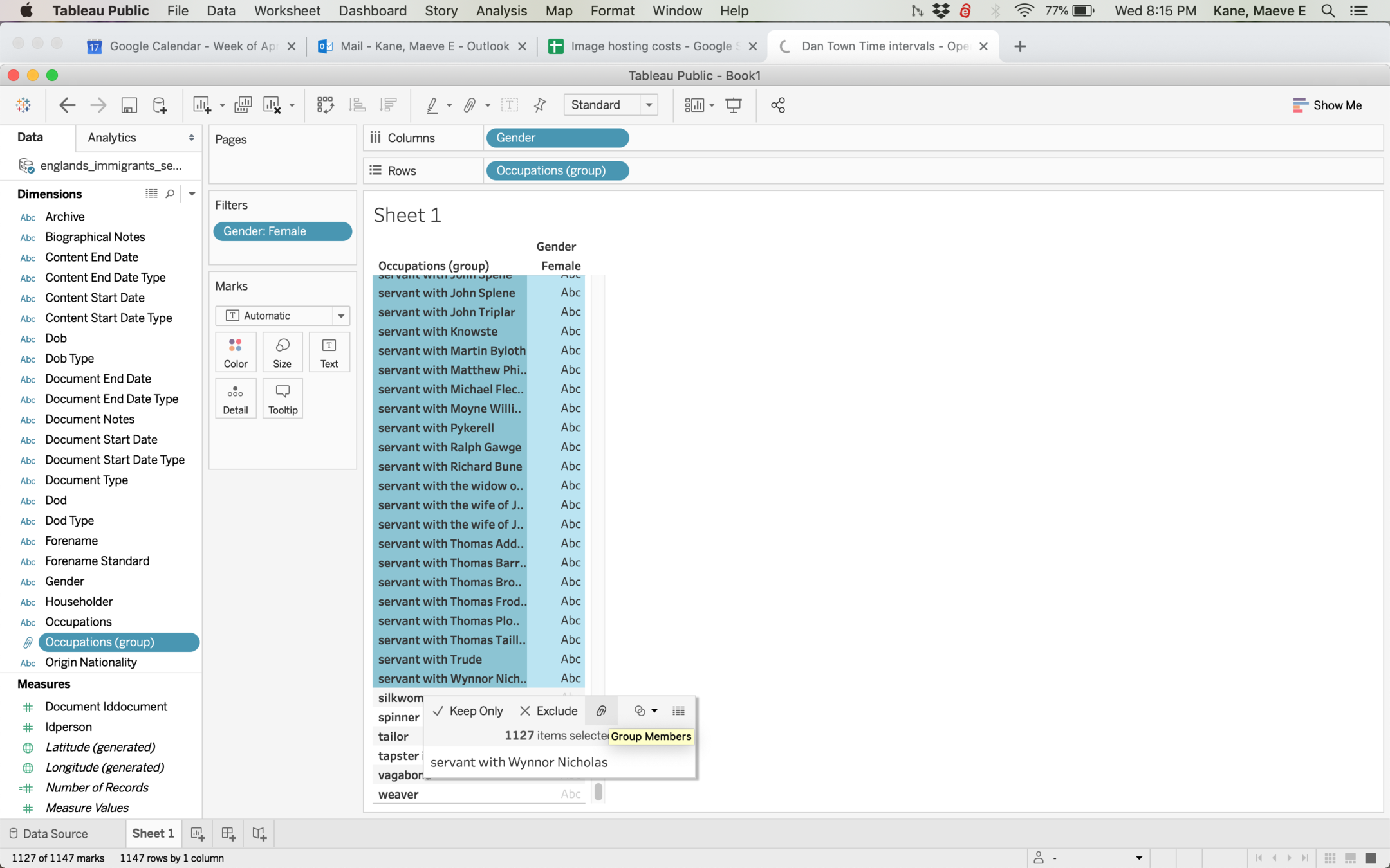
Group items thoughtfully!
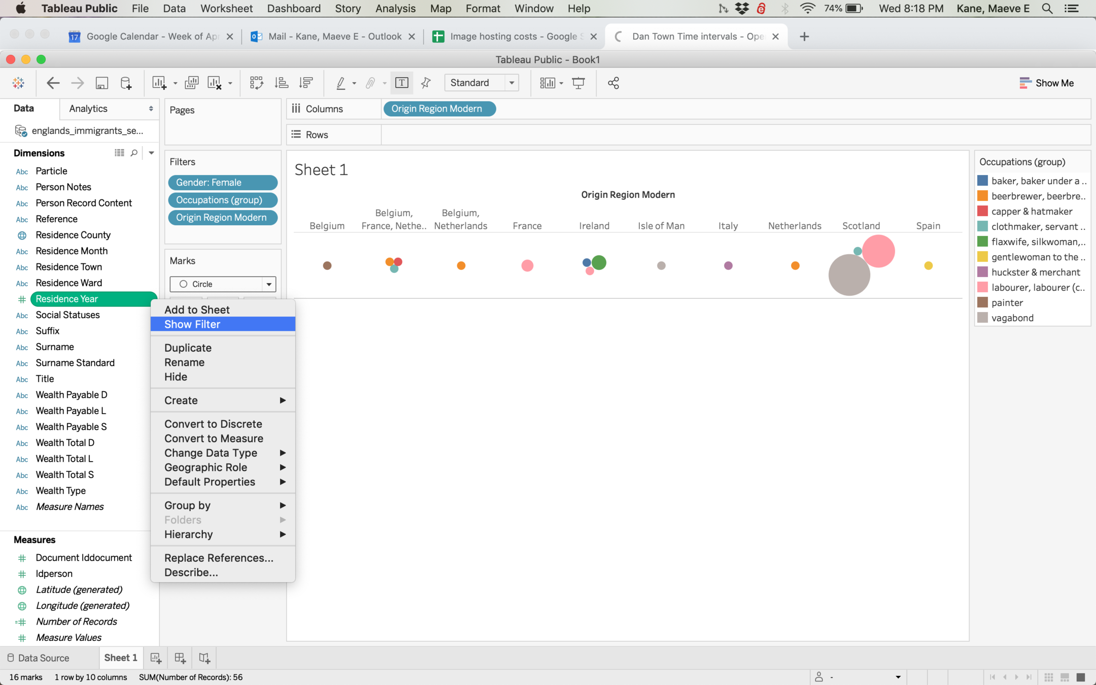
By right clicking an item > Show Filter, you can give your viewer an interactive filter without filtering yourself
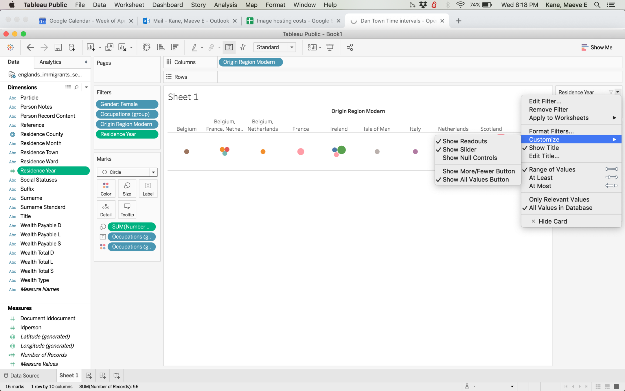
Filters are customizable. Play around and think about what options you want to give your reader. What kind of data are you working with?
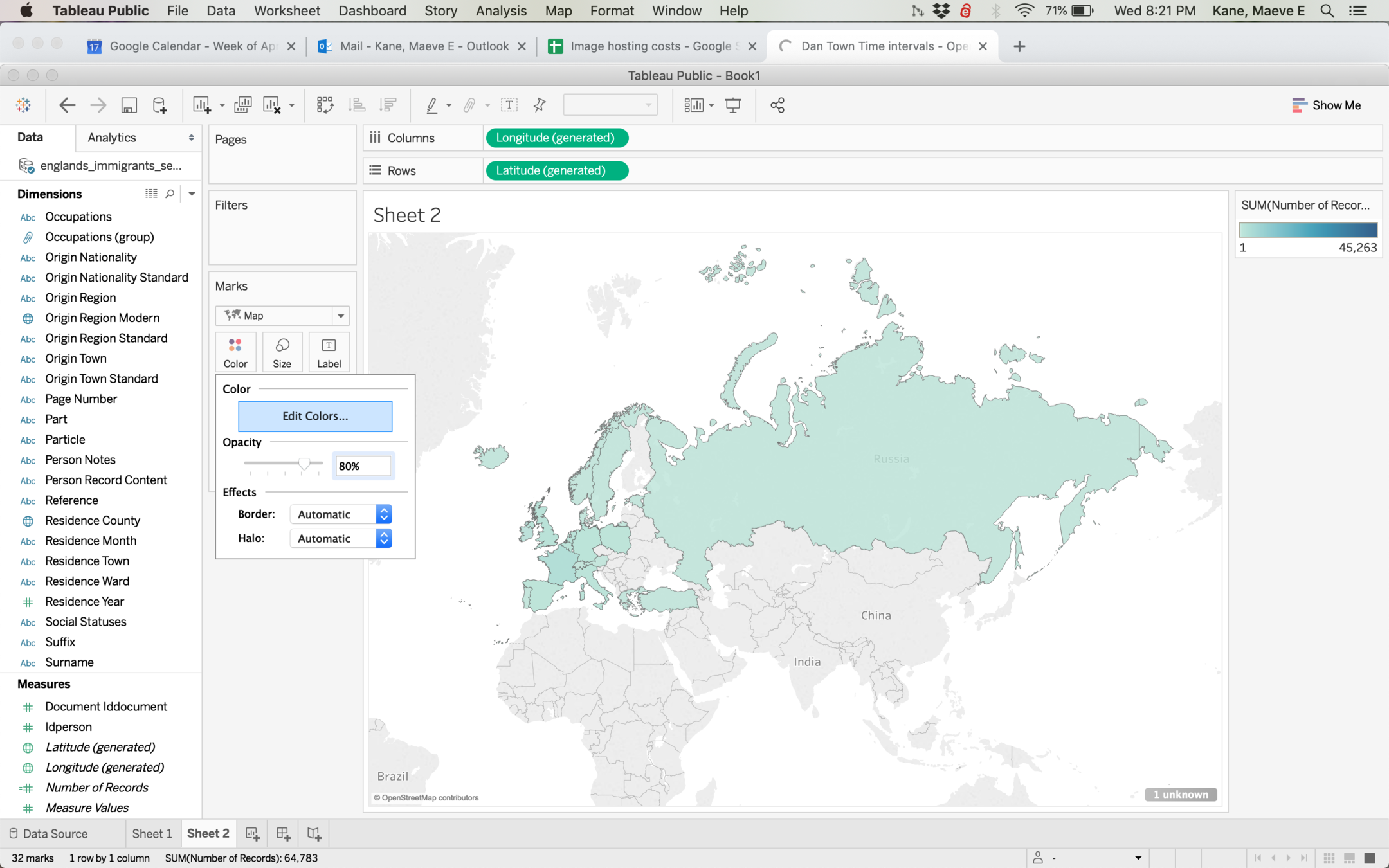
Sometimes your color scales may not make a lot of sense if you have a lot of nulls or a lot of items in one category. Double click Color > Edit Color

If you're excluding nulls anyway, it doesn't make sense to set your scale for a category you're excluding. You can manually set your scales (and axes) to a shorter range.
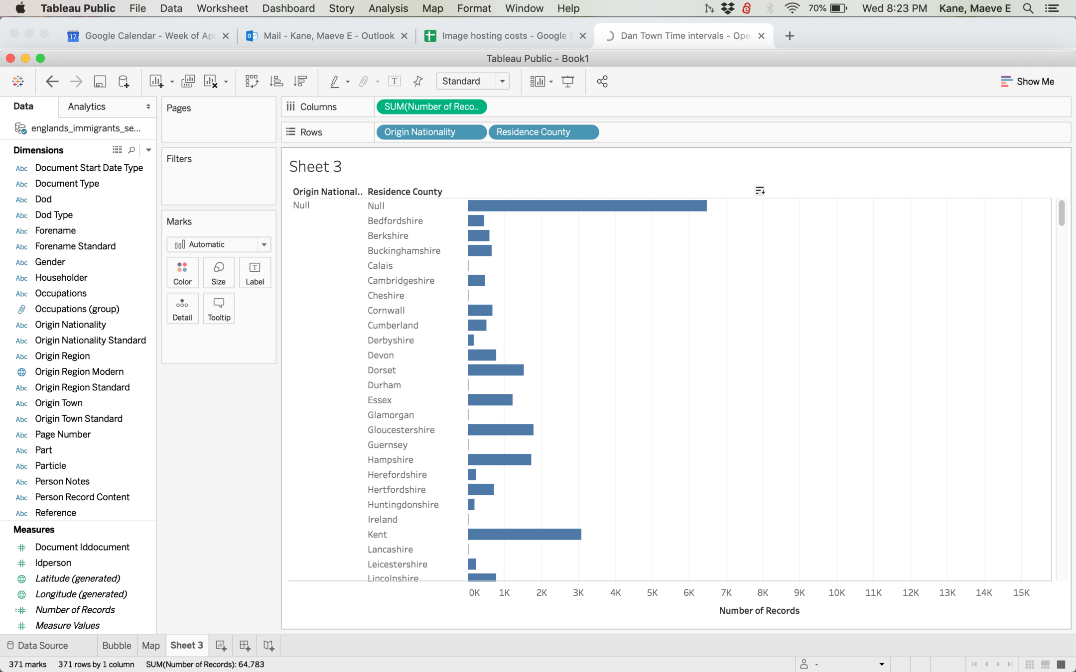
Hovering over different parts of your graph will give you different options, like sorting alphabetically or sorting largest to smallest.
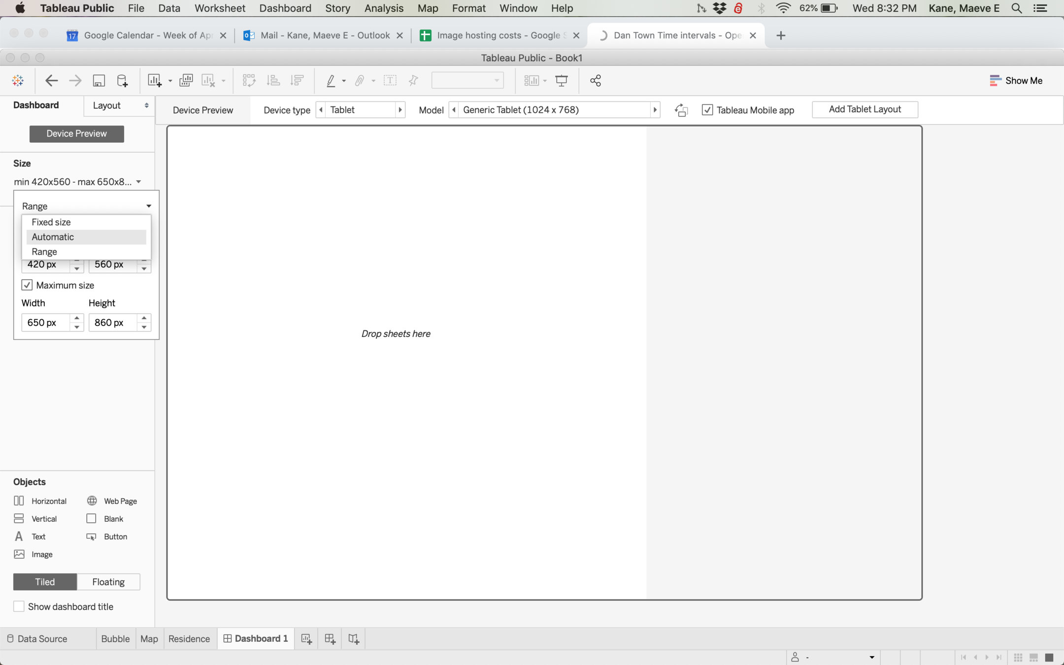
When you're working with a dashboard, set to preview on a desktop screen and set your size to automatic. This will give you a better idea of how your dashboard will display.
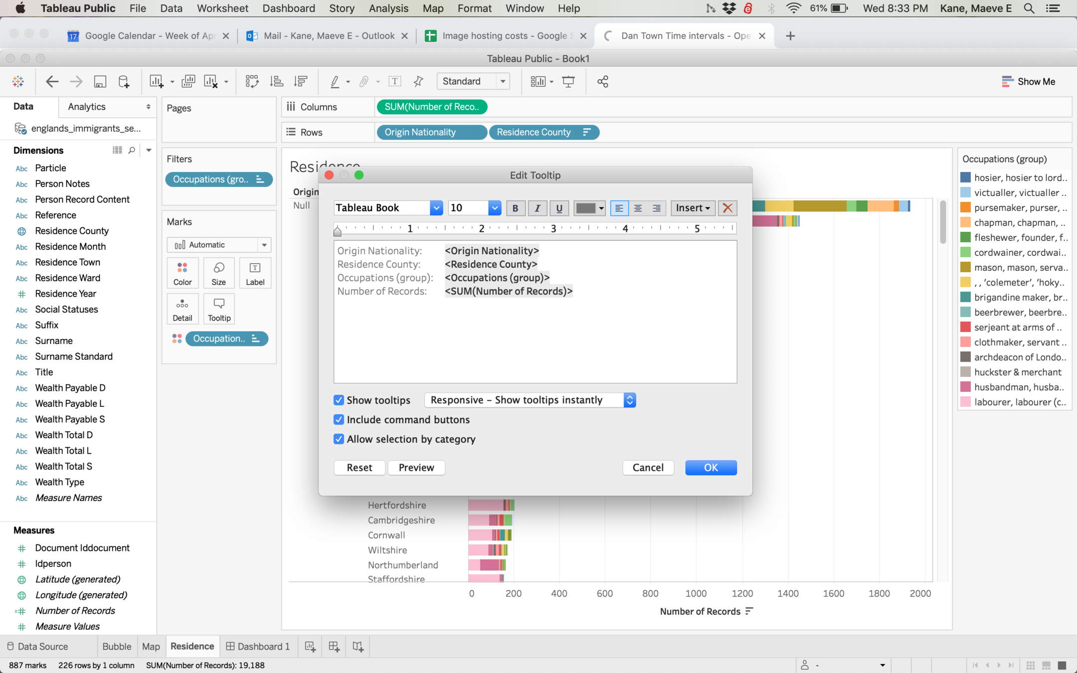
Tooltips can be customized by doubleclicking the tooltips marks card. If you want to include a field or a calculation, you can do so in <> brackets.
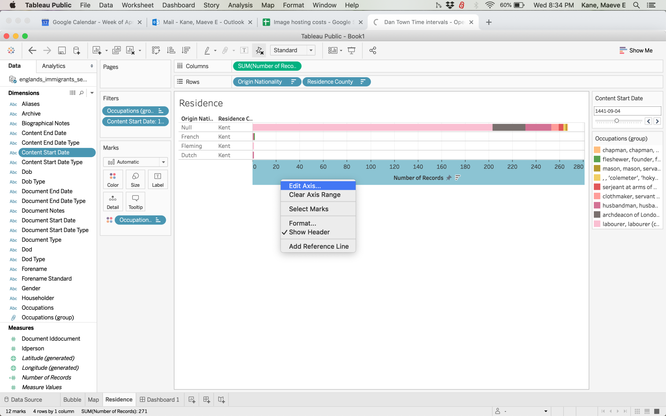
If you have an interactive filter, by default Tableau will rescale the axes to fit whatever data is filtered. If you want the axis to remain the same for easier comparison, right click the axis > Edit Axis.
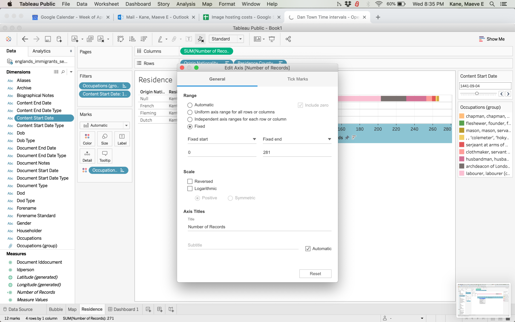
Like a color scale, you can manually fix axes.
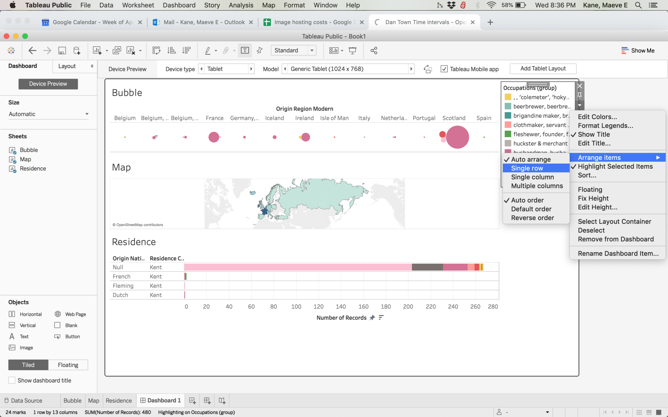
On a dashboard, legends are also customizable and arrangeable.
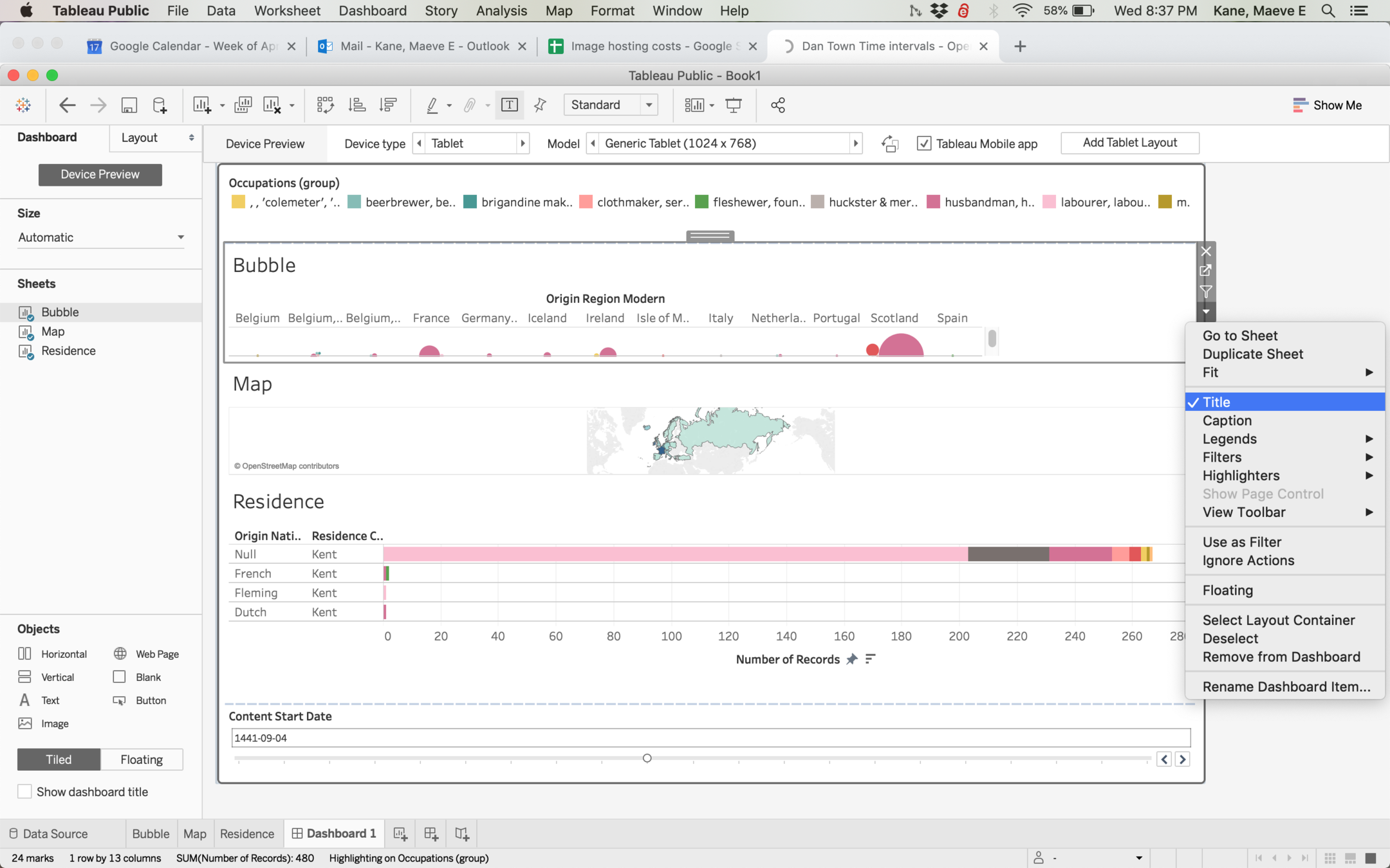
By default Tableau will import your sheet titles, captions and summaries. You may or may not want these, and it can make a dashboard more readable to hide titles.
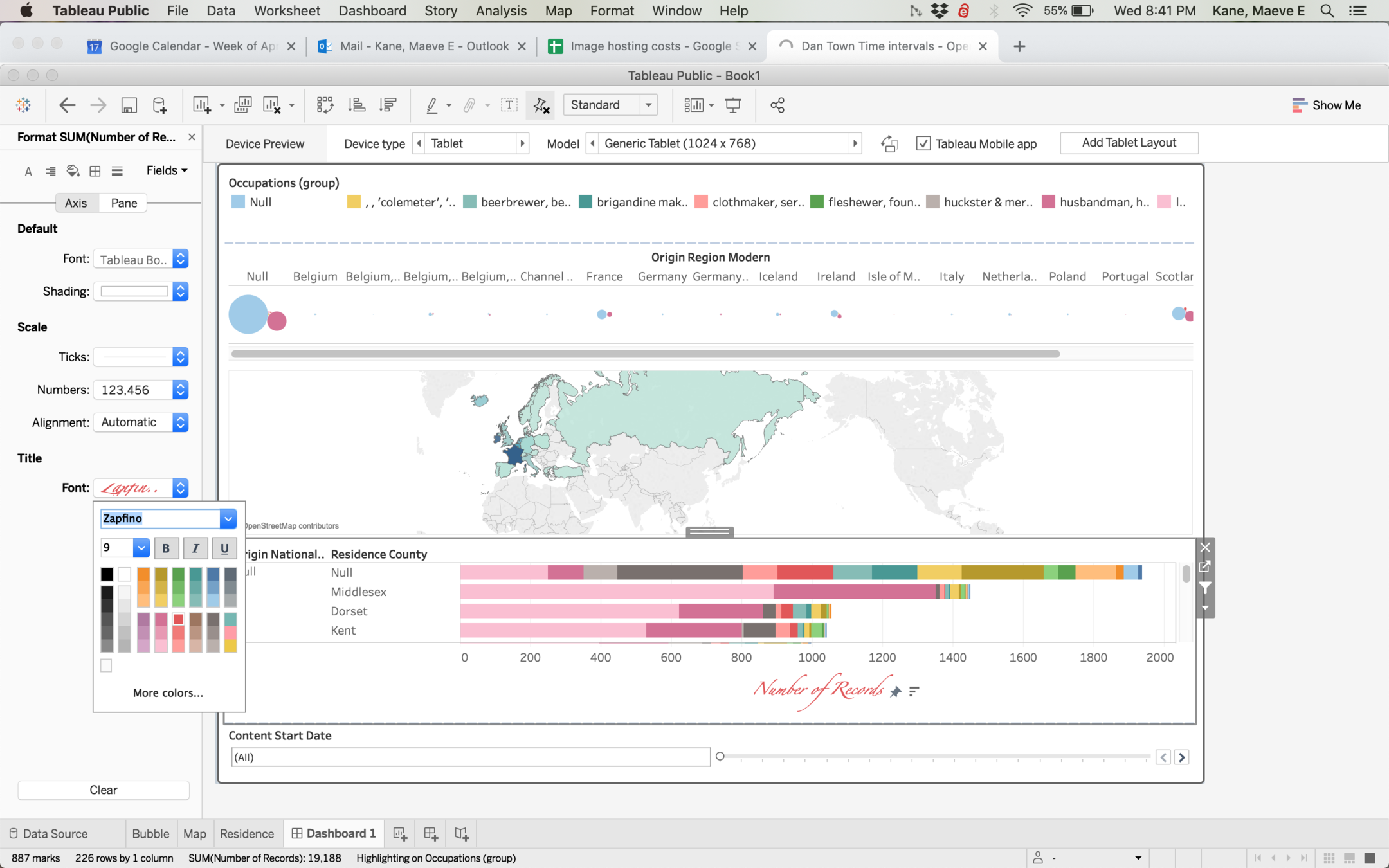
The menu item Format lets you customize everything from background color to axis size and color to font. Use this power for good, not evil!
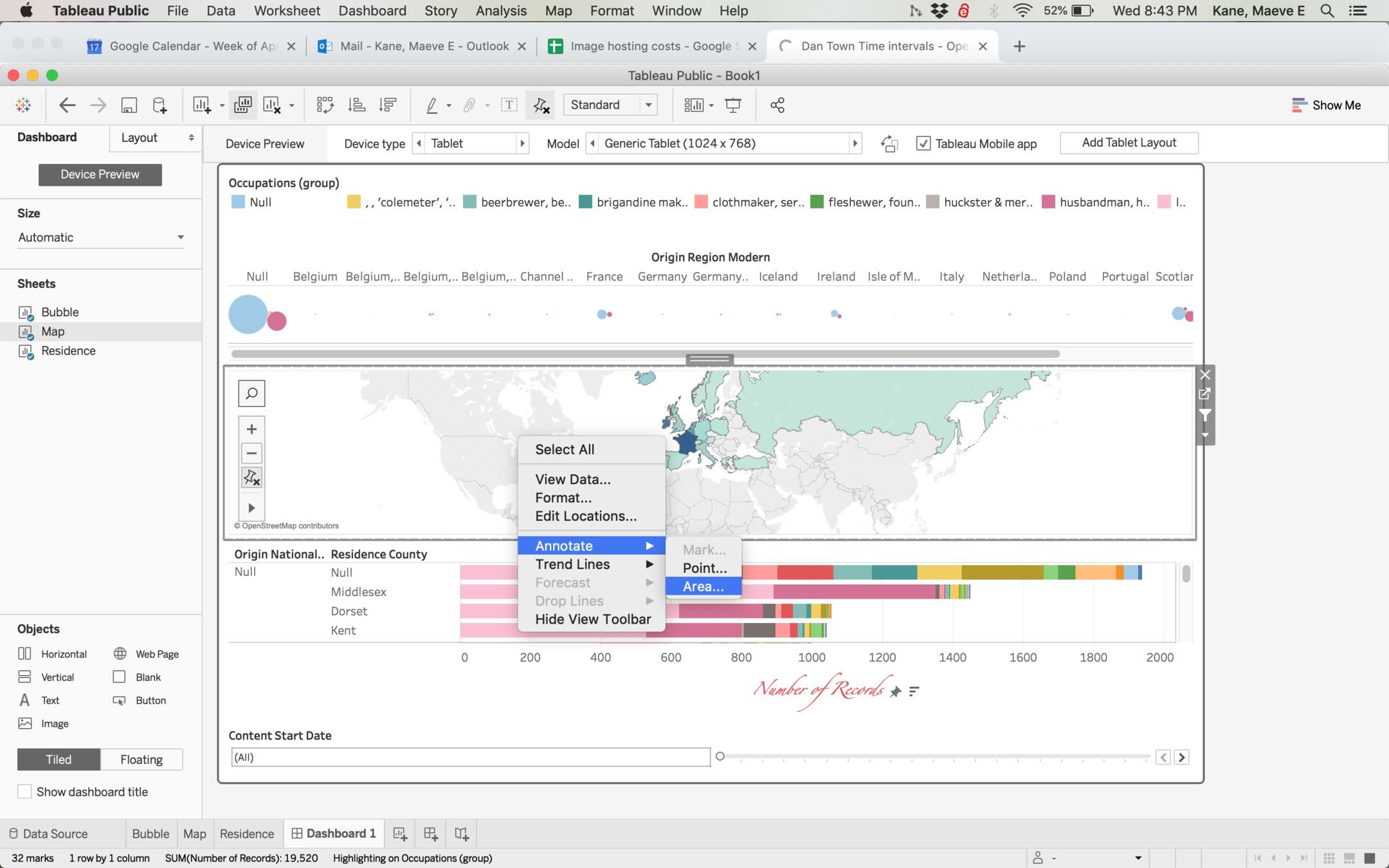
Both dashboards and sheets can be annotated with right click > Annotate. This will produce a text box that will float above
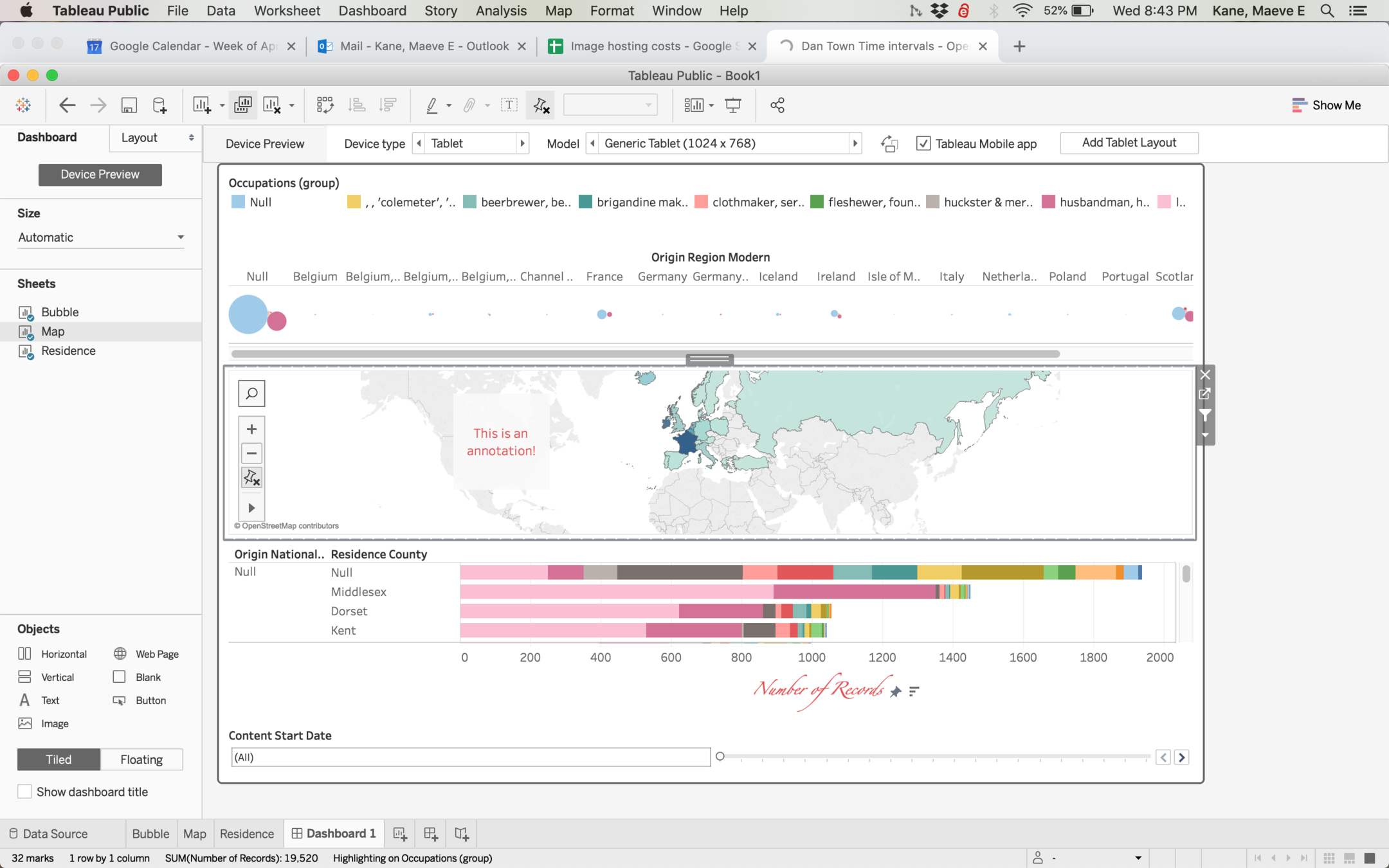
Like everything else, these annotations can be formatted for text color, background color, etc. Think about how all your elements work together visually!
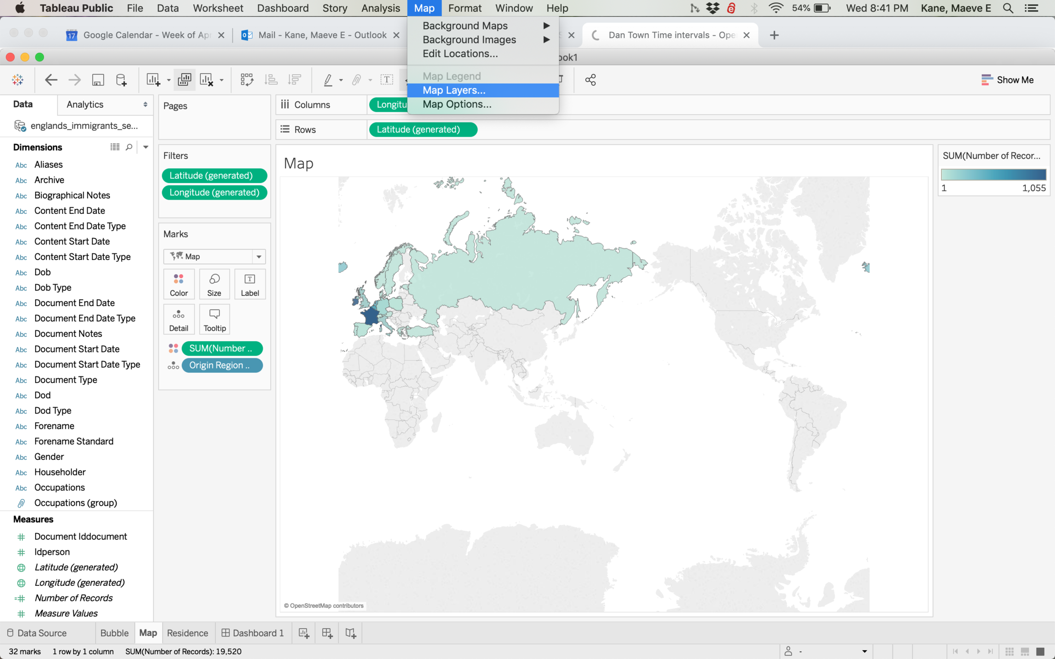
Maps can also be formatted with Map > Map Layers. Here you can toggle whether place names, roads, country and state boundaries show. Depending on how close your map is zoomed, you may not have all options available.