Let's Make a Map!
Thanks to
- Metro for hosting
- theworksLA for sponsoring
So what are we going to do?
- GIS Basics
- LA has some data!
- Natural Earth Data!
Can this be done in 2 hours? Stay tuned...

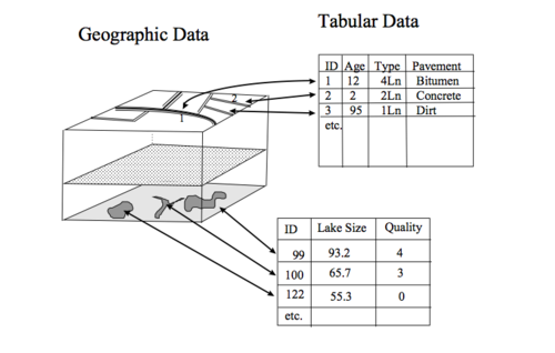
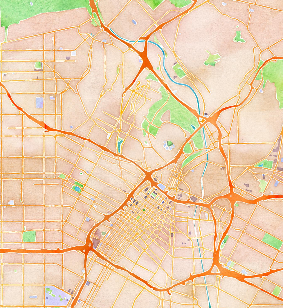
what is GIS?
(Geographic Information System)
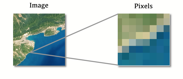
Raster
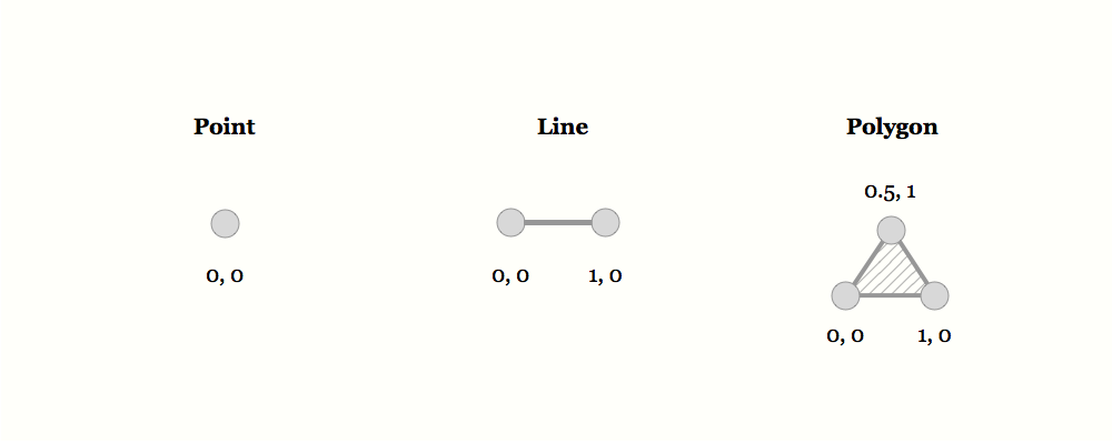
Vector
Vector
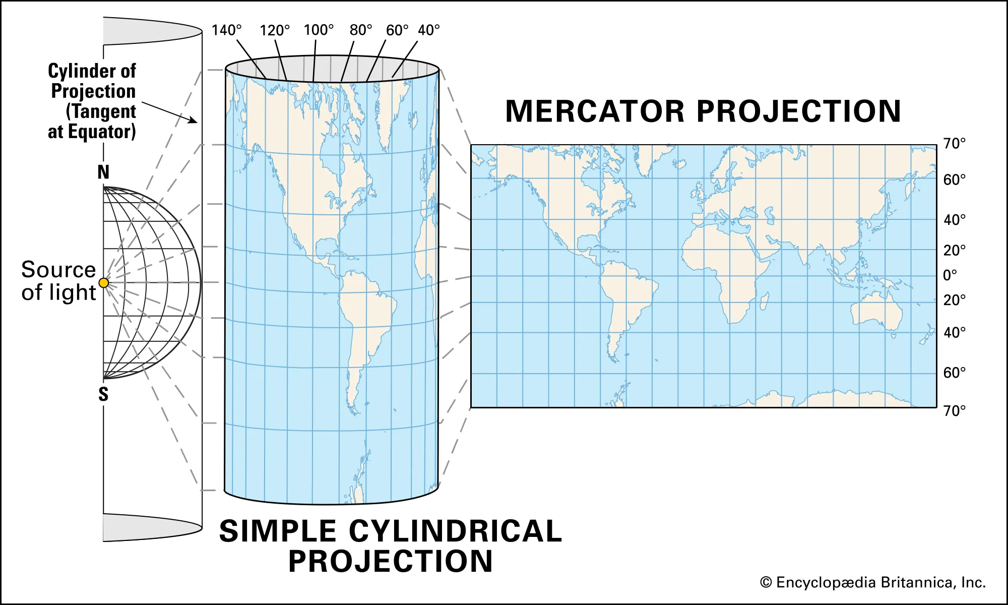
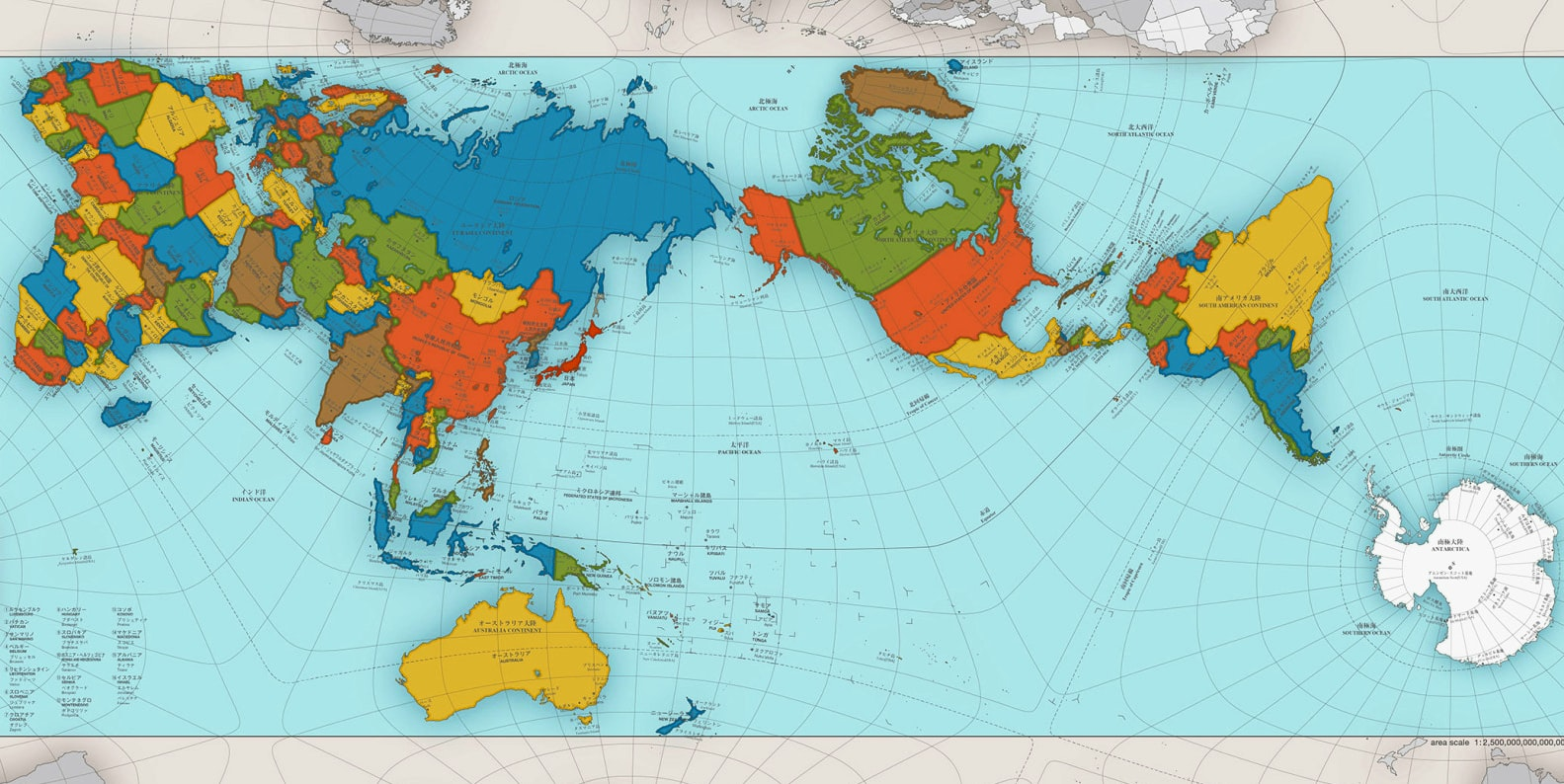
Projections
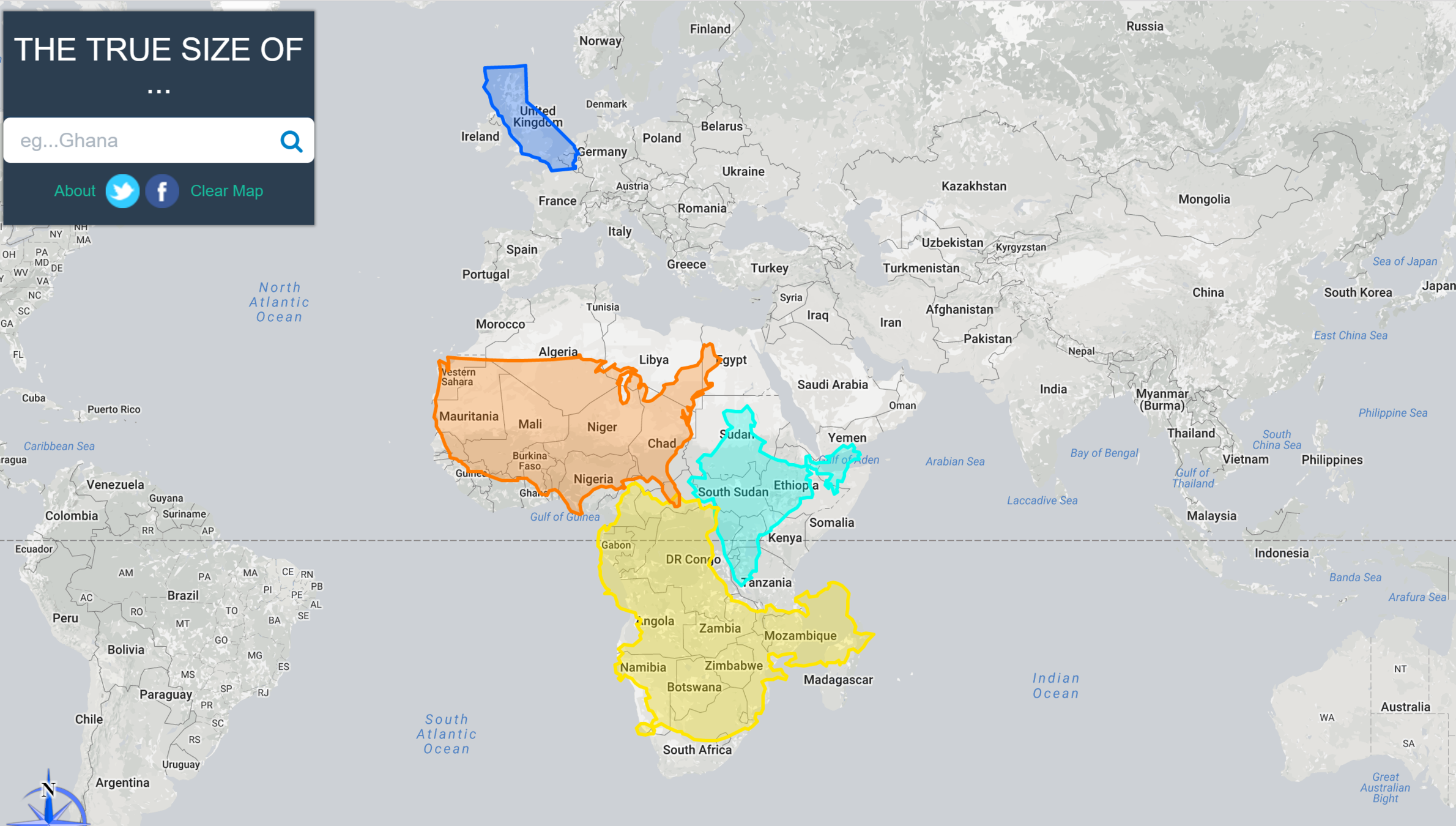
The True Size of... (in Mercator)
Yea that's cool, but what if I want maps now....like now now and maybe add some data on top of it?
Yay! Ok so I want to add some data, where do I look?
Resources
- For spatial data
- For spatial and other open data
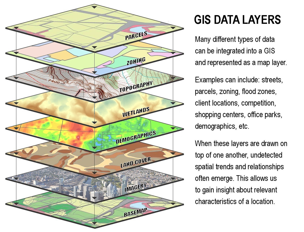
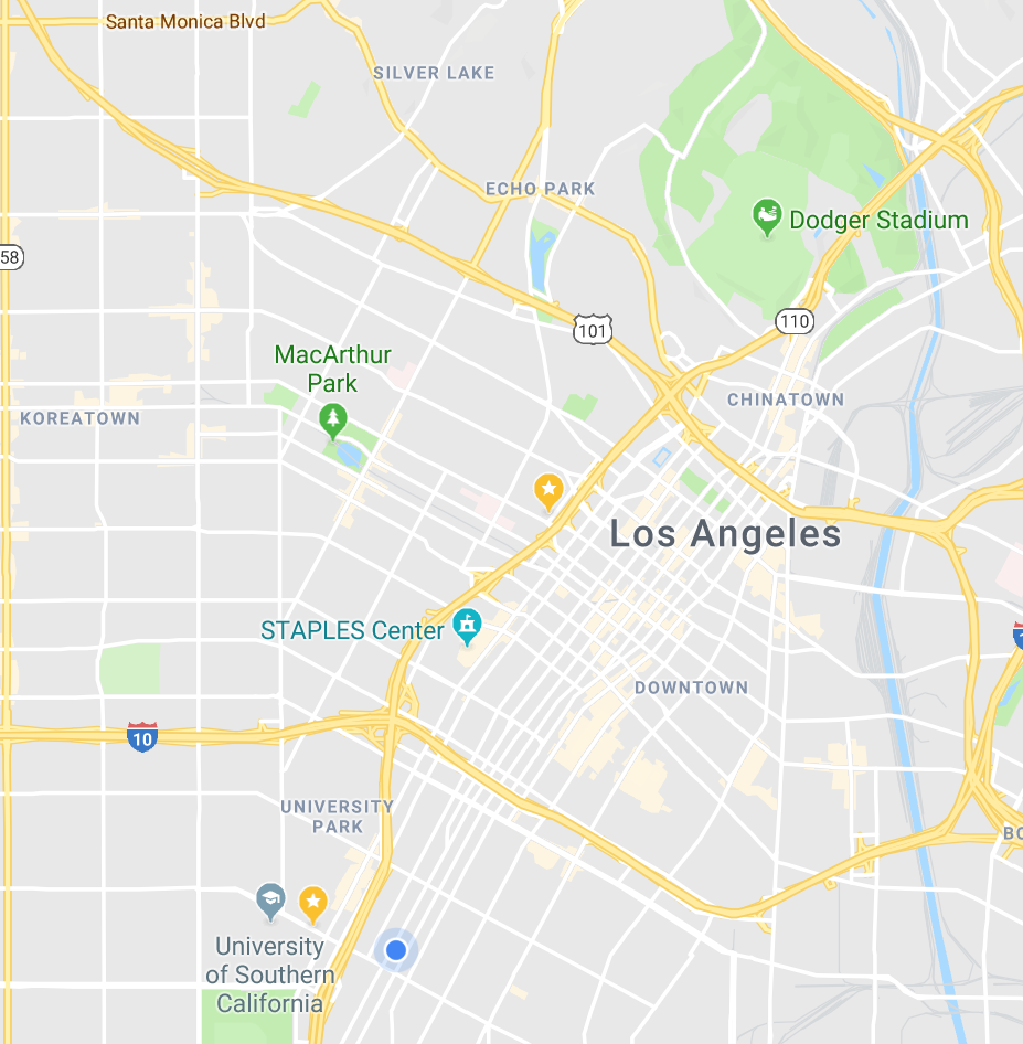
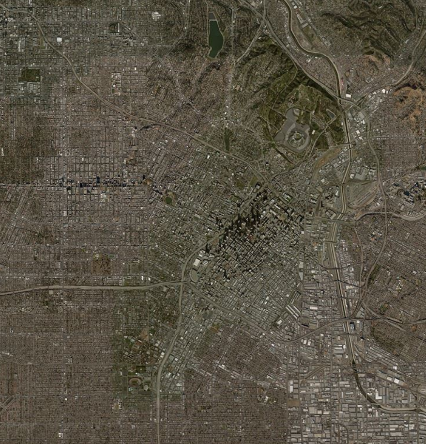
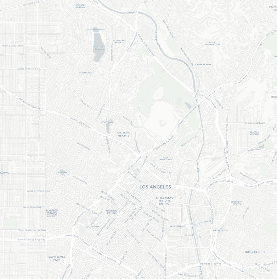
What can we map?

Source: Terramonitor
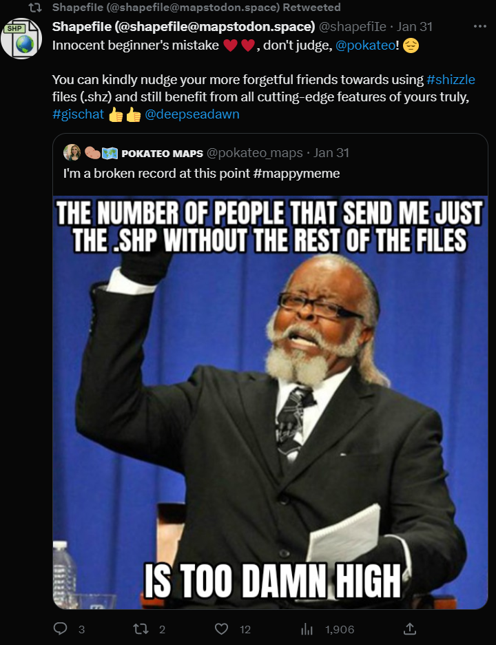
Shapfile
Geojson / CSV
Geopackage