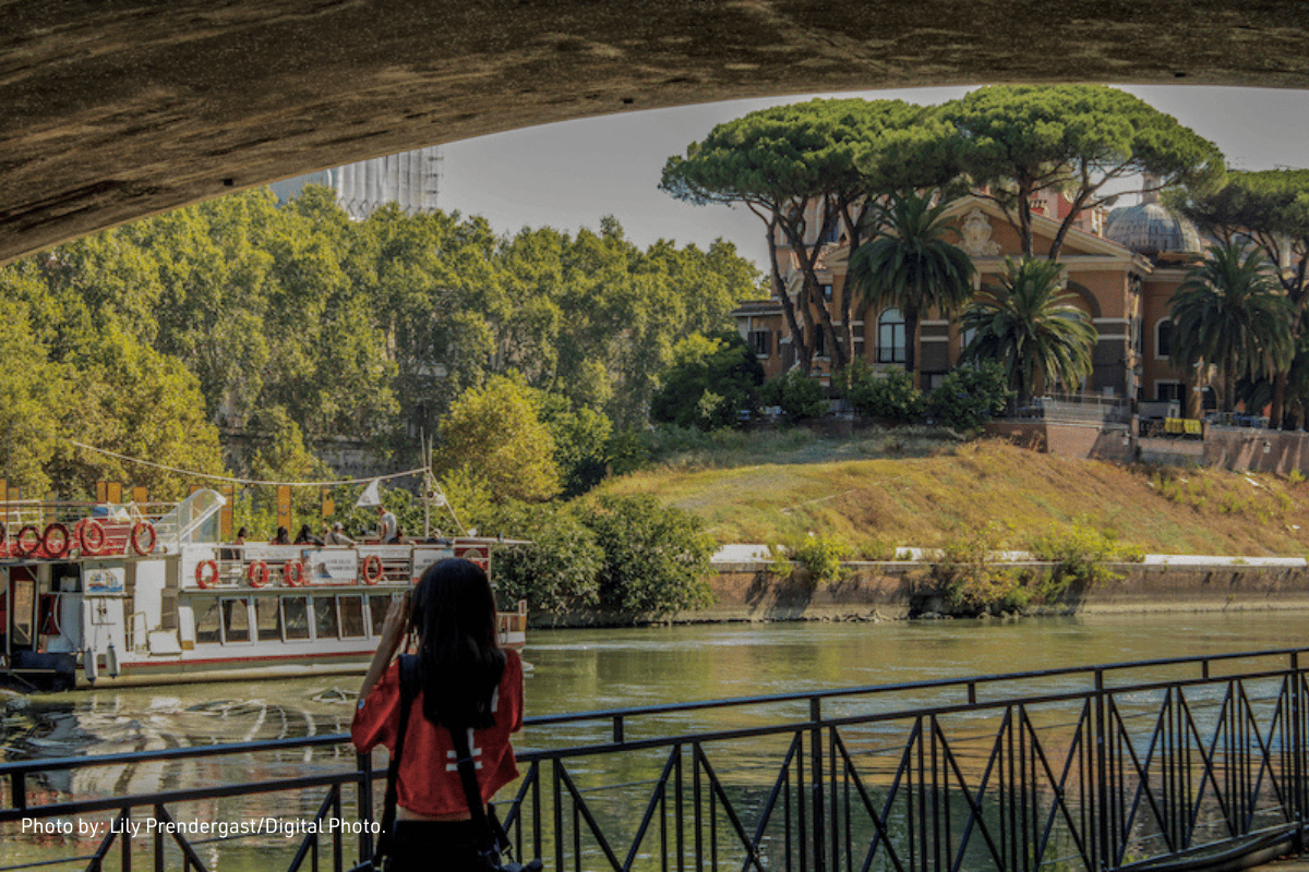
Tiber River project
the python class contribution @TUR campus

Many Services
at work, for a big challenge!
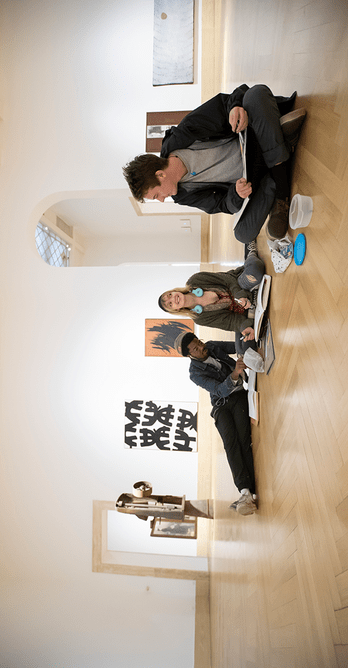
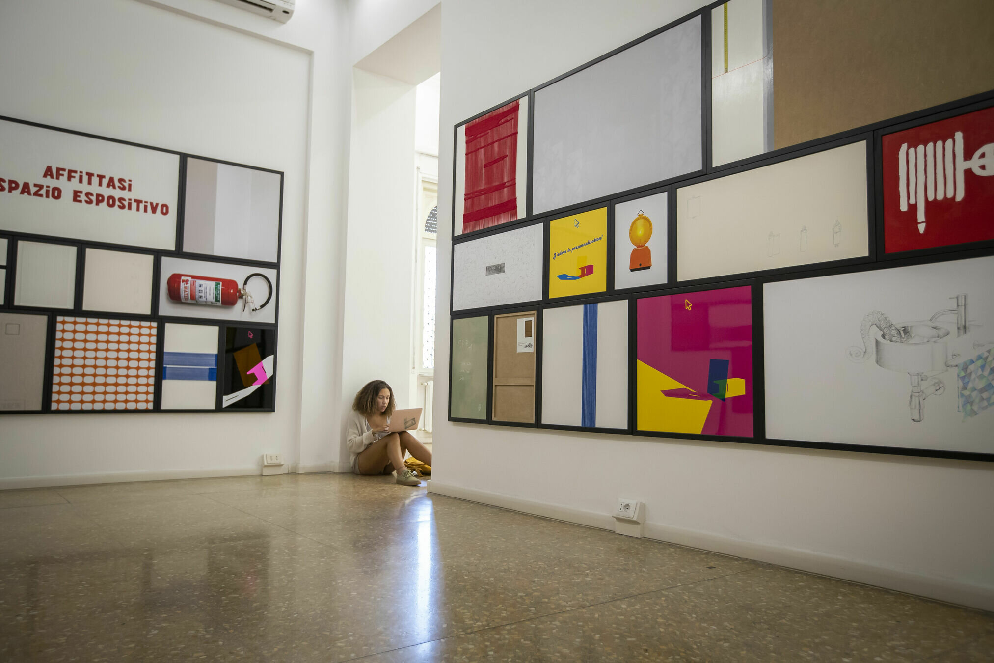
Meet the Team

geographic database (free, open)
OpenStreetMap
generative AI model
OpenAI
the game engine
(open source)
Panda3D
Process
multiple Data Sources to make great context
1
Integrated
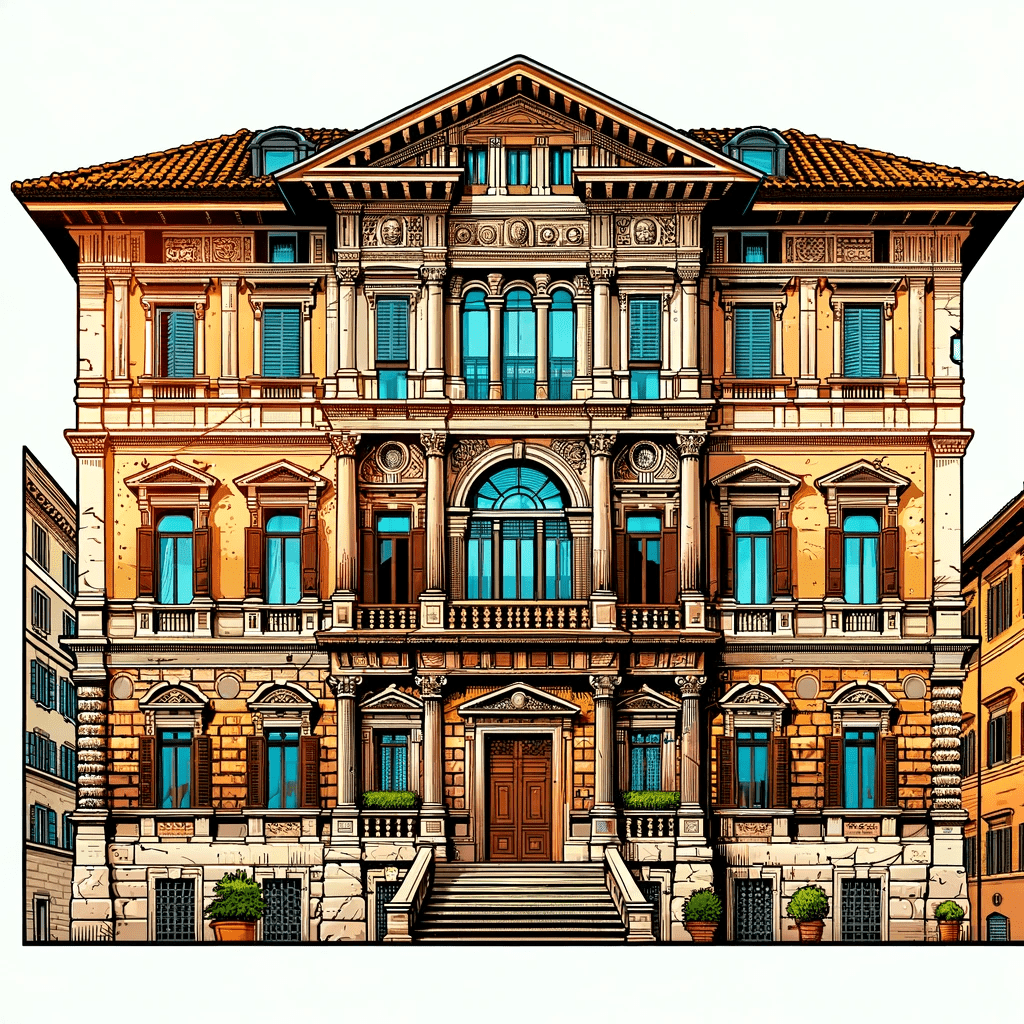
Aesthetic Enhancements to build cool Game Assets
2
AI assisted
Engaging Educational Content
3
Tailored
OSM
updated and maintained by a community of volunteers.
Sudden acceleration since the introduction of Google Maps's pricing (2012) and the development of supporting software and applications.
The Overpass API serves up custom selected parts of the OSM map data.
It acts as a database over the web: the client sends a query to the API and gets back the data set that corresponds to the query.
DEM
3D computer graphics representation of elevation data to represent terrain
Often used in geographic information systems (GIS), and are the most common basis for digitally produced relief maps.
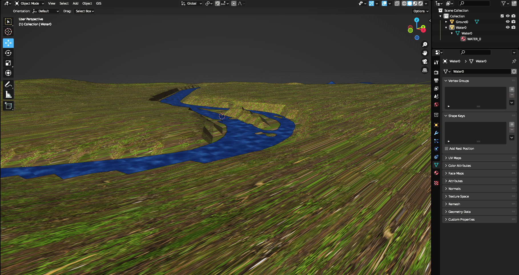
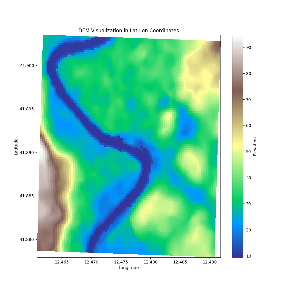
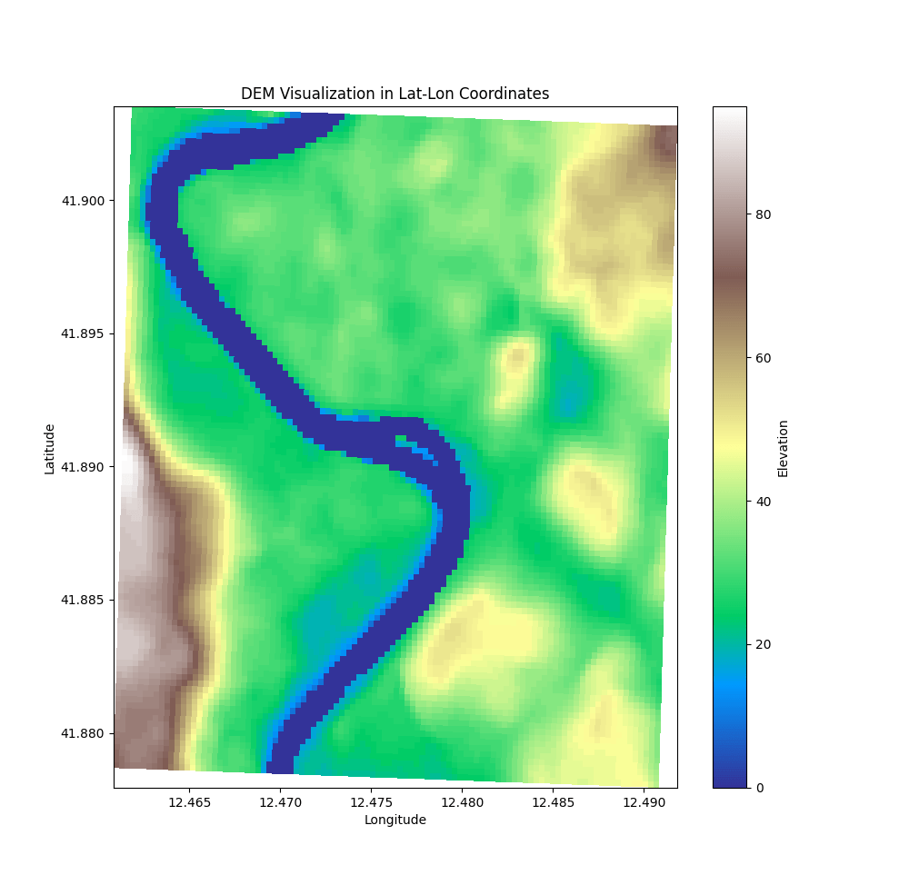
Similar to OSM for collecting/improving free digital elevation models.
EuroDEM describes the distribution of terrain or "bare earth" heights, not including vegetation and man-made structures.
... all with the invaluable help of
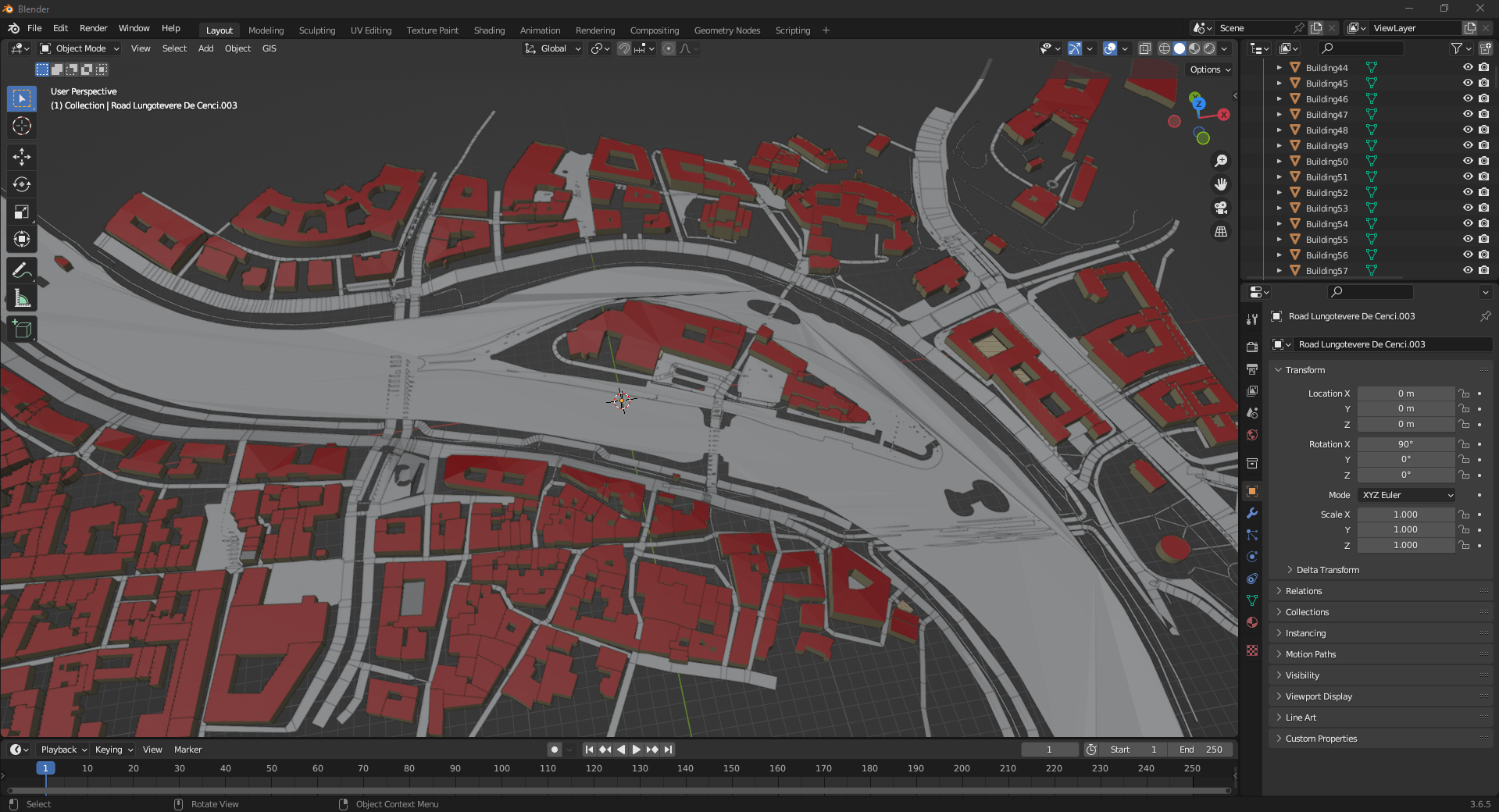
Blender is a free and open-source 3D computer graphics software tool
Automate with AI
Build artistic textures and monumental 3D models
with custom prompts.
With Style
1
OSM feeds the models to update the assets
3
AI together with automation to enrich
the platform
5
The pipeline starts again,
to deliver the greatest
world ever, again
2
Backend services manage complexity
and deploy to the Cloud
4
Users explore the game, consume contents
and feed, back to the comunity
a pipeline to wonderland


Join Us!
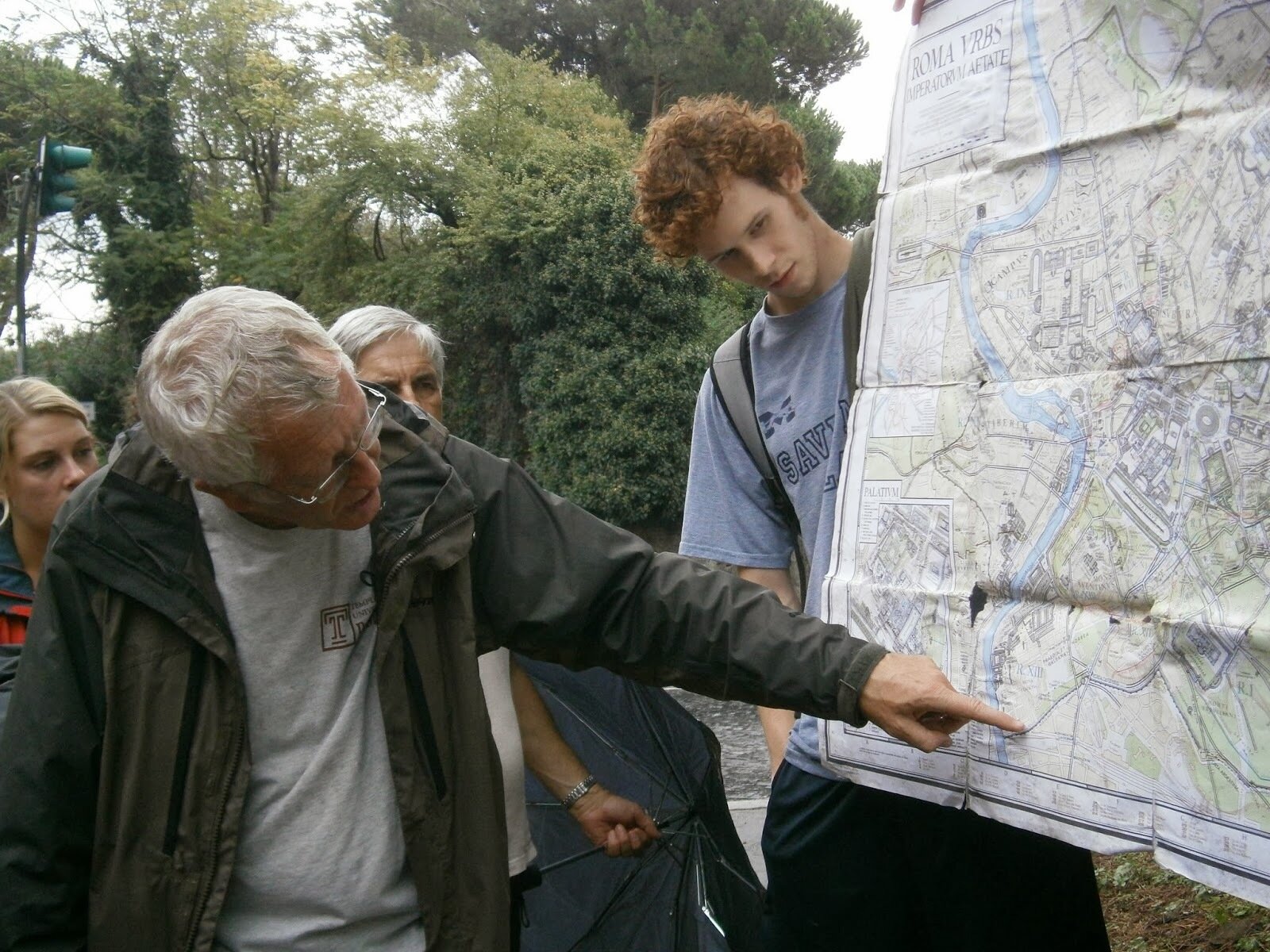
a TUR rite of passage, let's make adventurous walks around Rome, together.

Join the community
for a truly unique introduction of Rome's
past and present.