Forgotten or Rare Graphic Methods for Maps
Attila Bátorfy, ELTE, Átló
International GIS Day, 18th November 2026

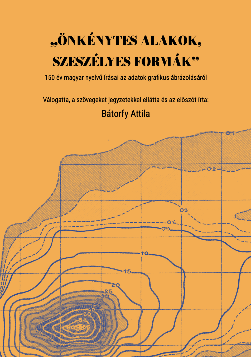
2024
2027

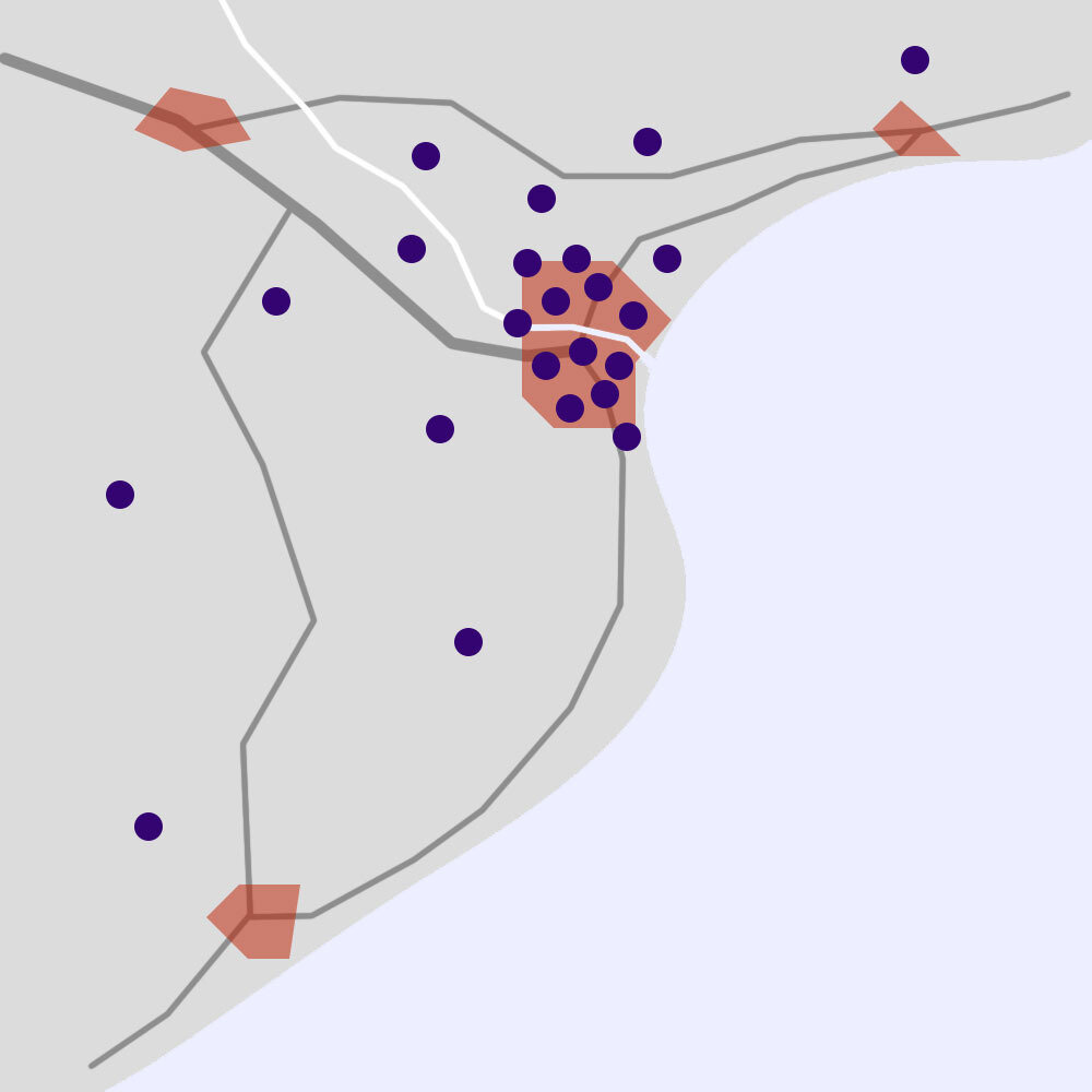
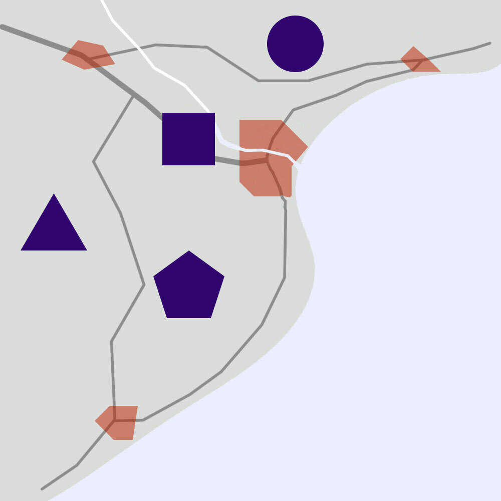
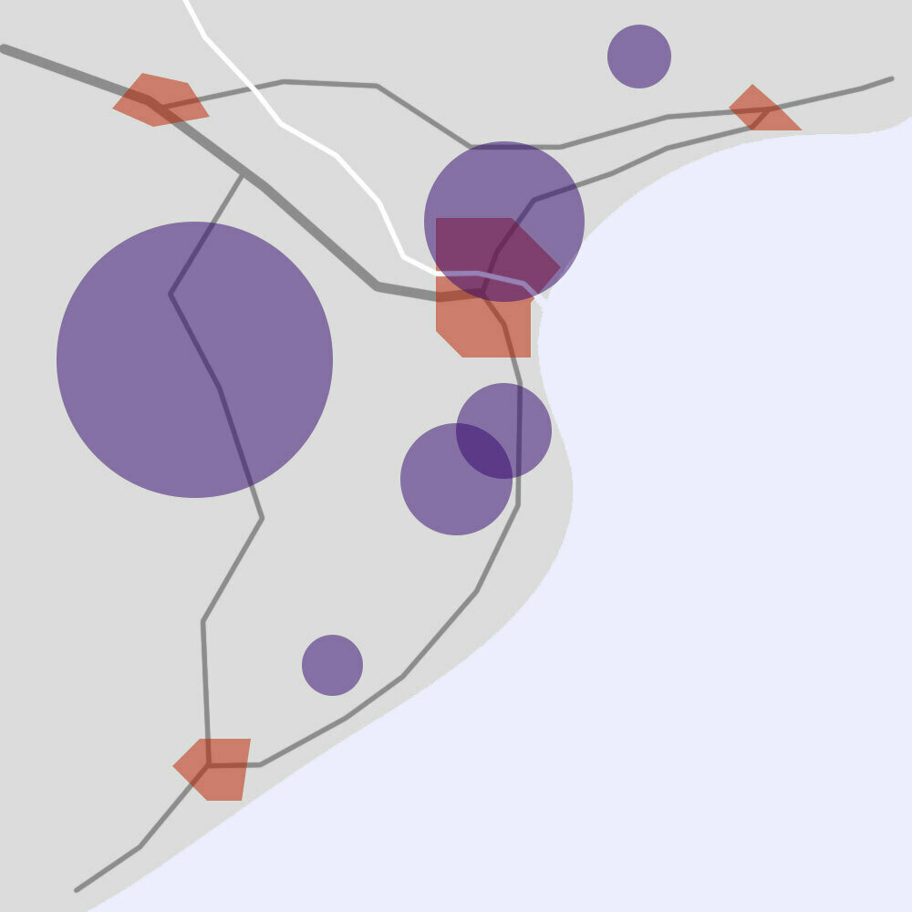
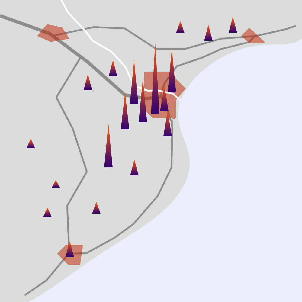
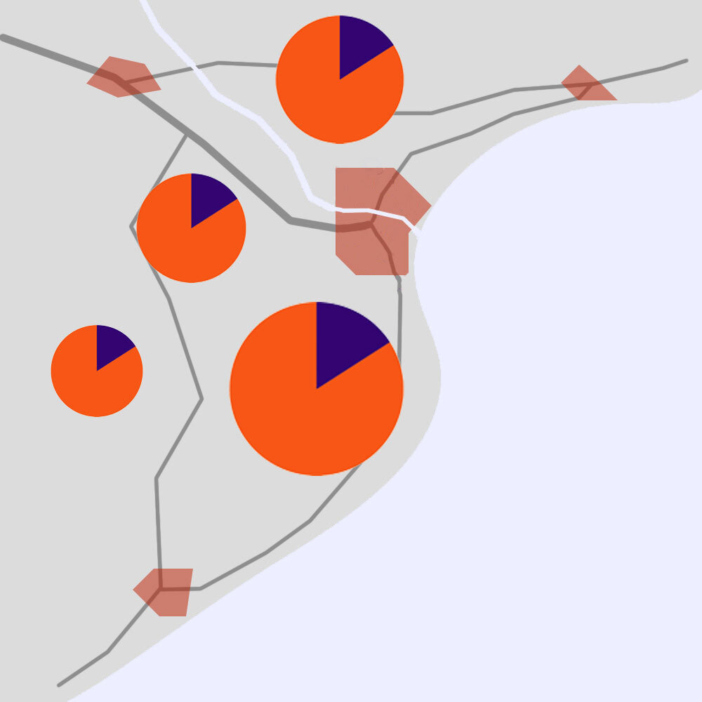
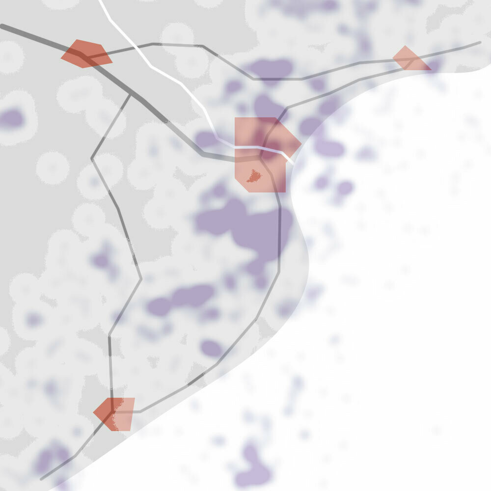
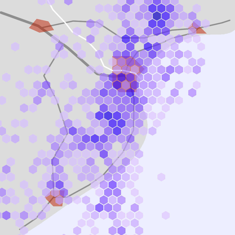
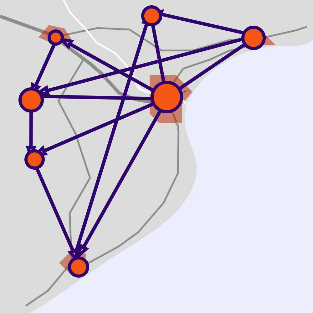
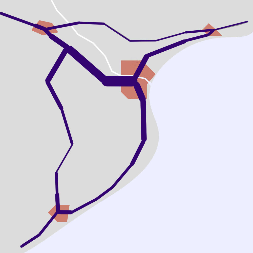
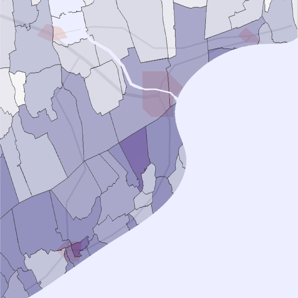
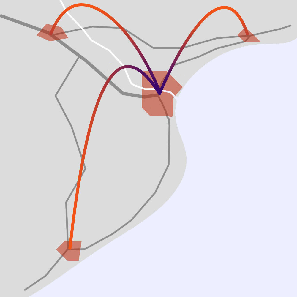
point
line
area/
surface
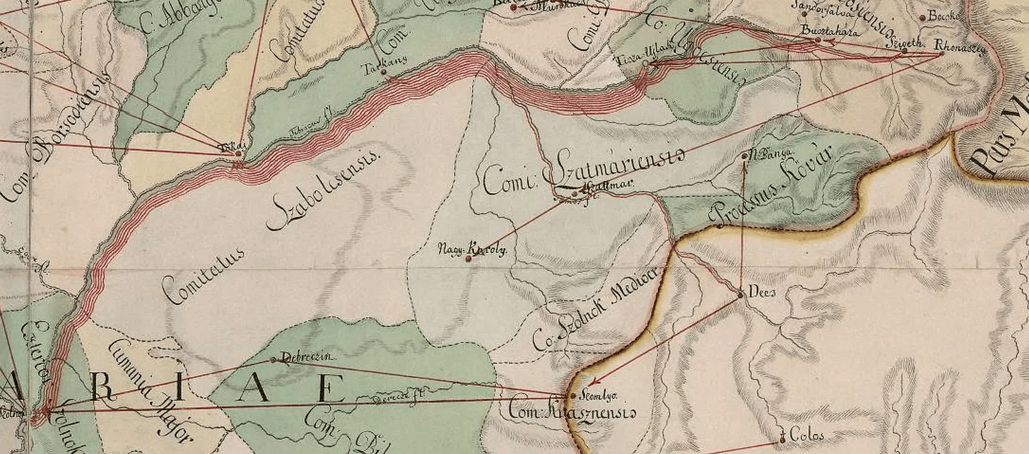
Imre Milecz: Mappa Regni Hungariae demonstrans universas caeo regias salis stationes..., 1773
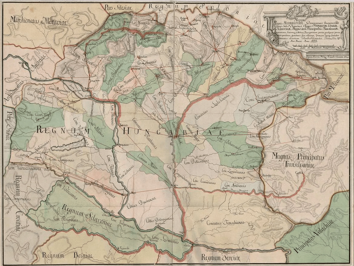
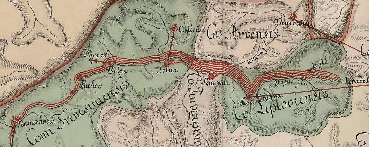
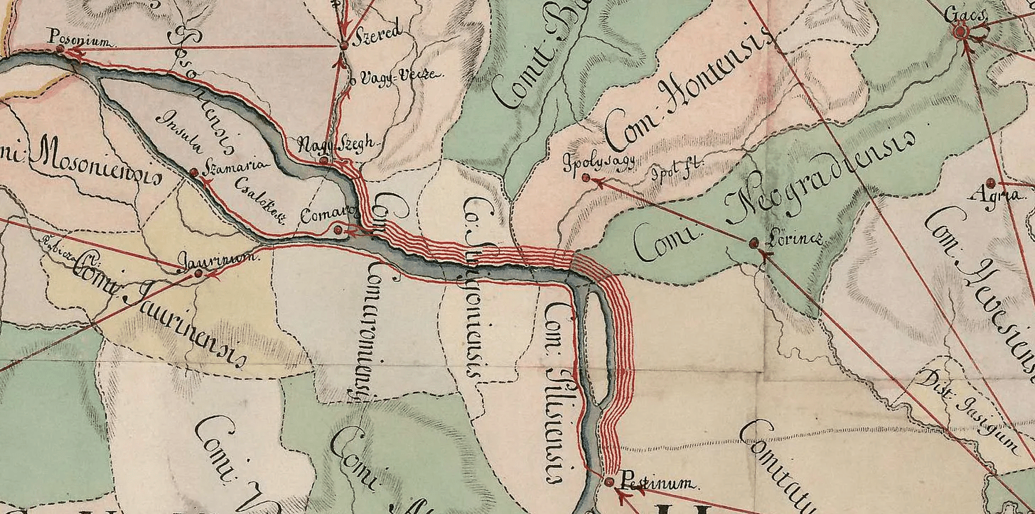
Source: National Széchenyi Library
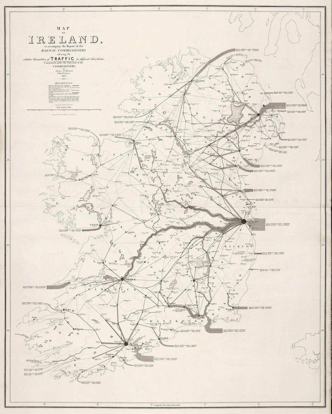
Henry Drury Harness: Map of Ireland, to accompany the Report of the Railway Commissioners shewing the relative Quantities of Traffic in different Directions. Dublin: Irish Railway Commission, 1837. Image courtesy of David Rumsey Map Collection. Public domain.
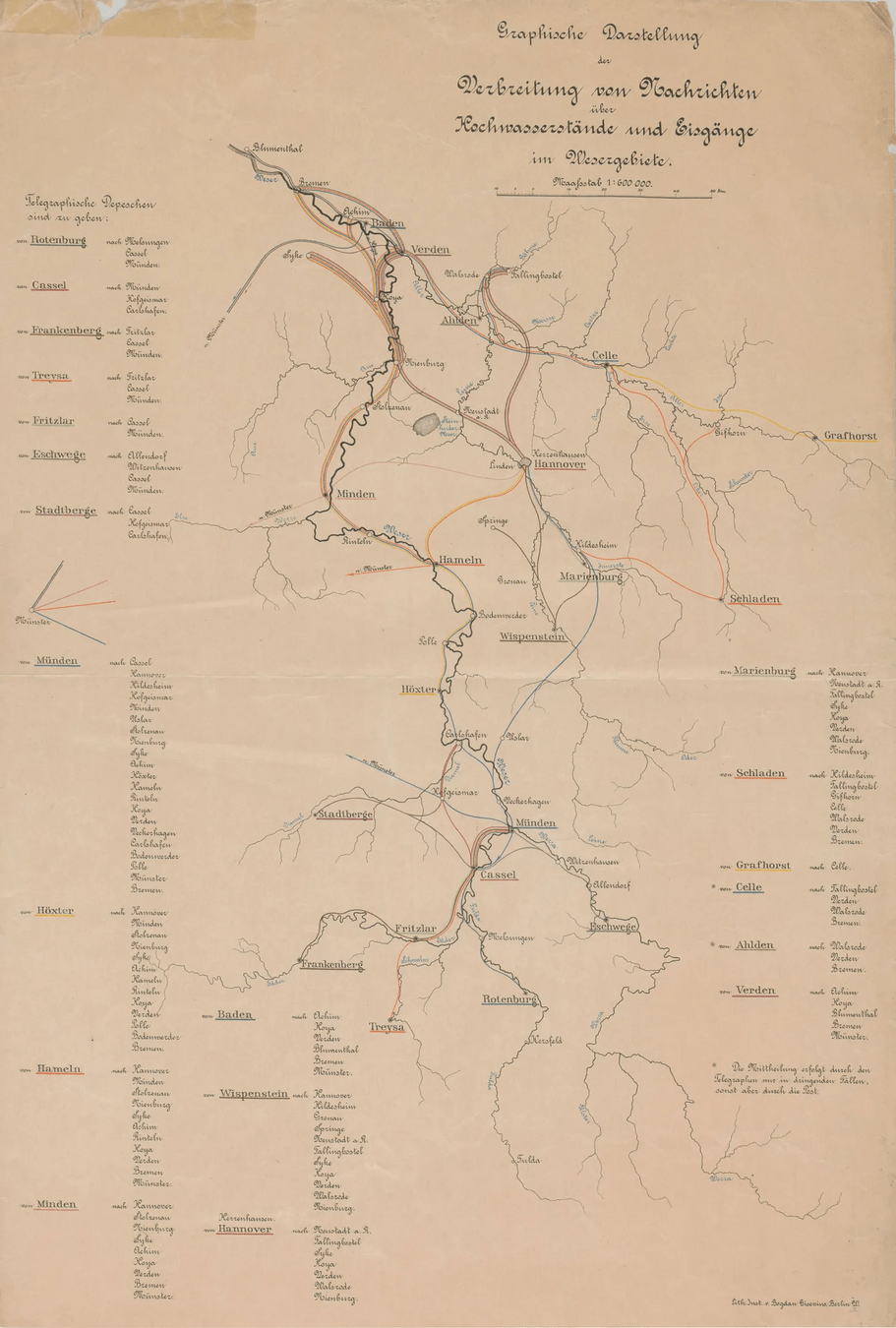
Bogdan Gisevius: Graphic presentation of the dissemination of news about high water levels and ice drifts in the Weser region, 1875
The first handbook on graphic methods for maps, 1859
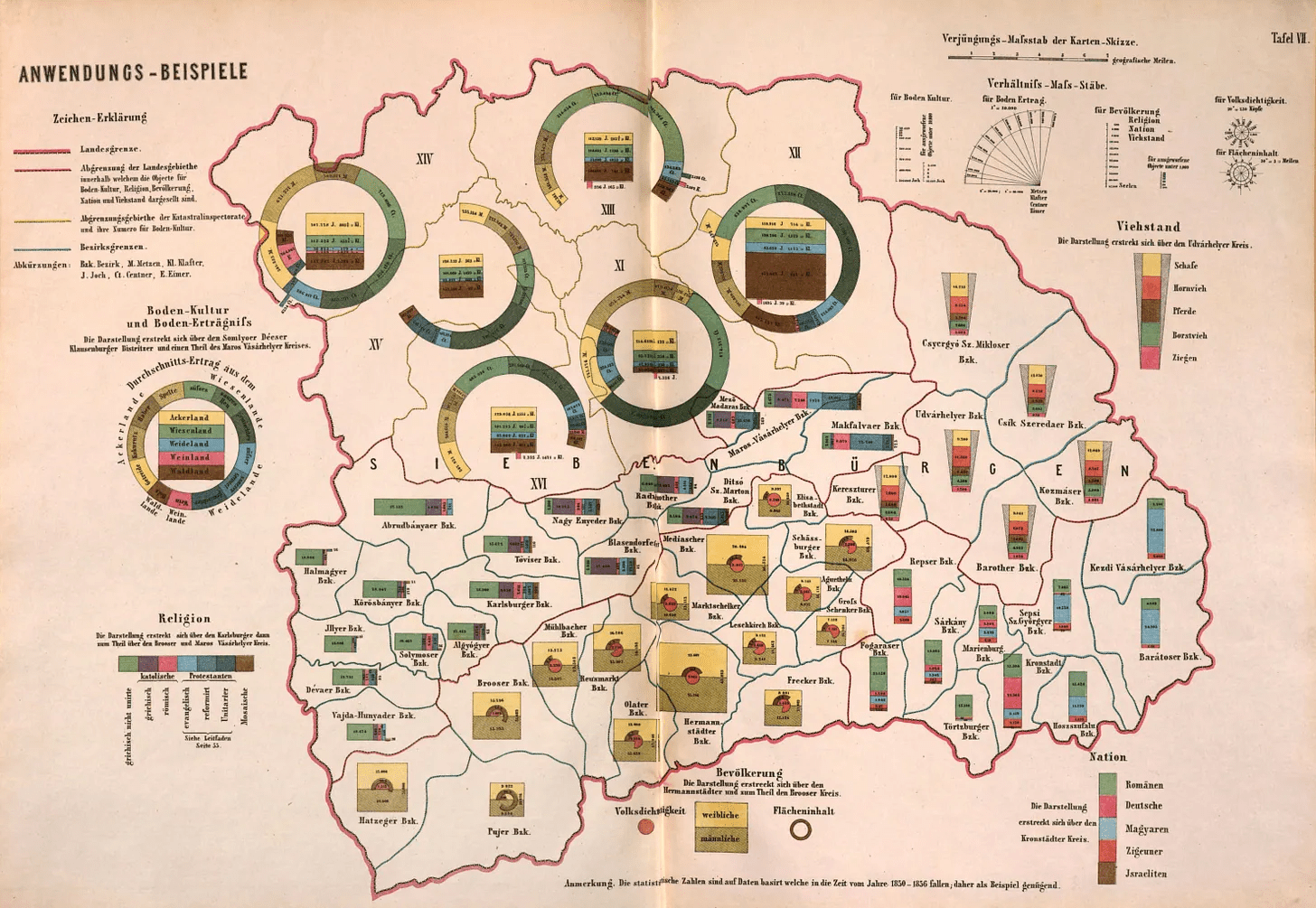
Wenzel Unschuld: Leitfaden zur darstellenden Statistik auf topographischen Karten
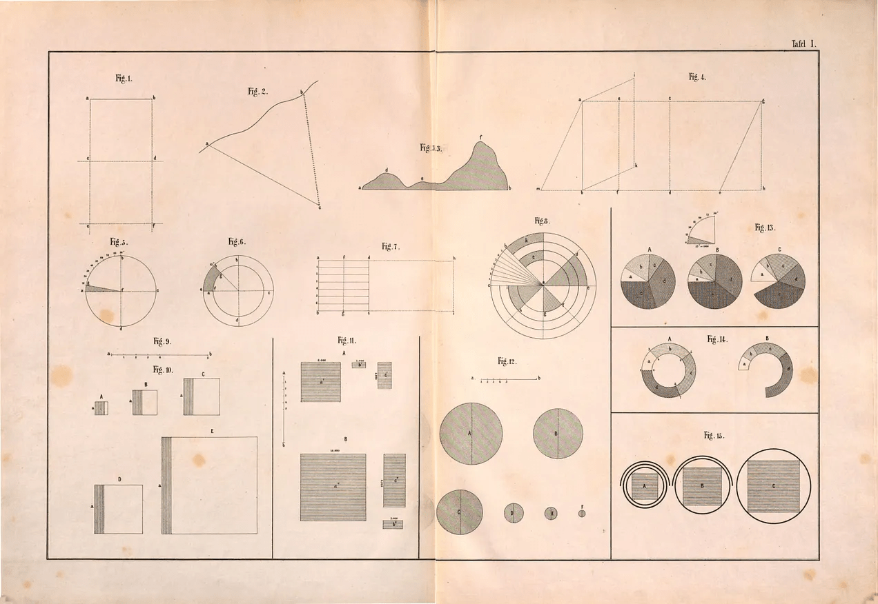
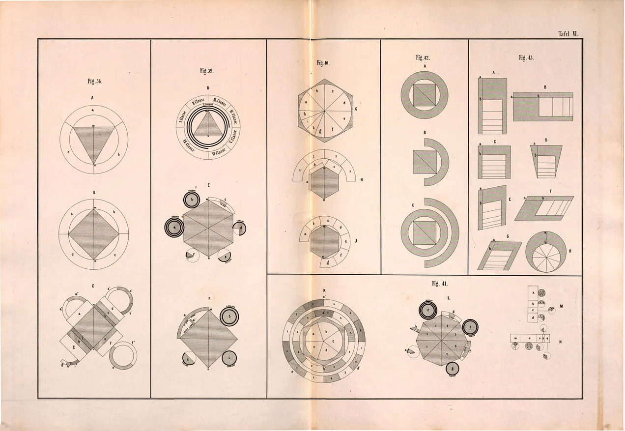
Source: Austrian National Library
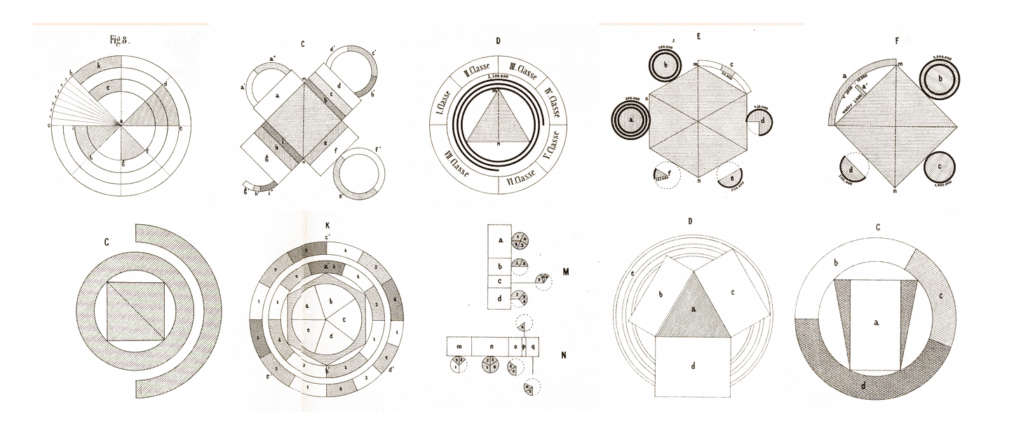
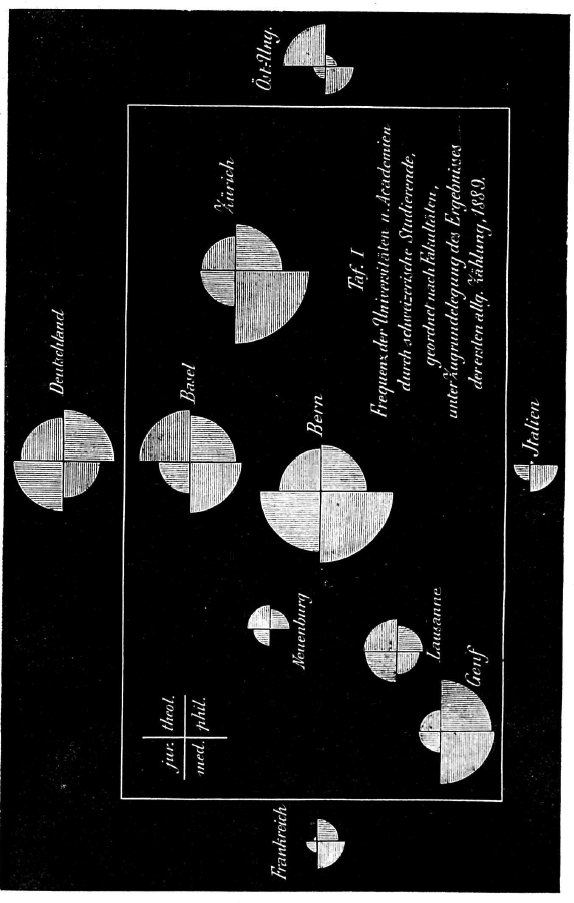
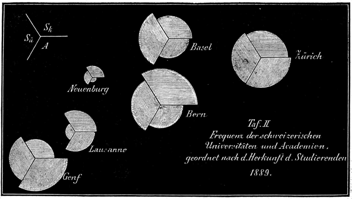
A proportional-area polar diagram map, 1891
Christian Moser: Über eine geographisch-statistische Methode und ihre Verwerthung zu einer Darstellung betreffend die Universitäts-Frequenz durch schweizerische Studierende
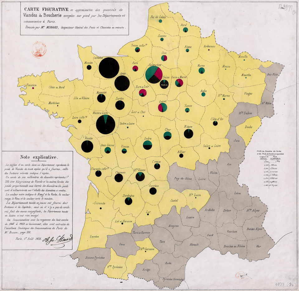
Charles-Joseph Minard, 1858
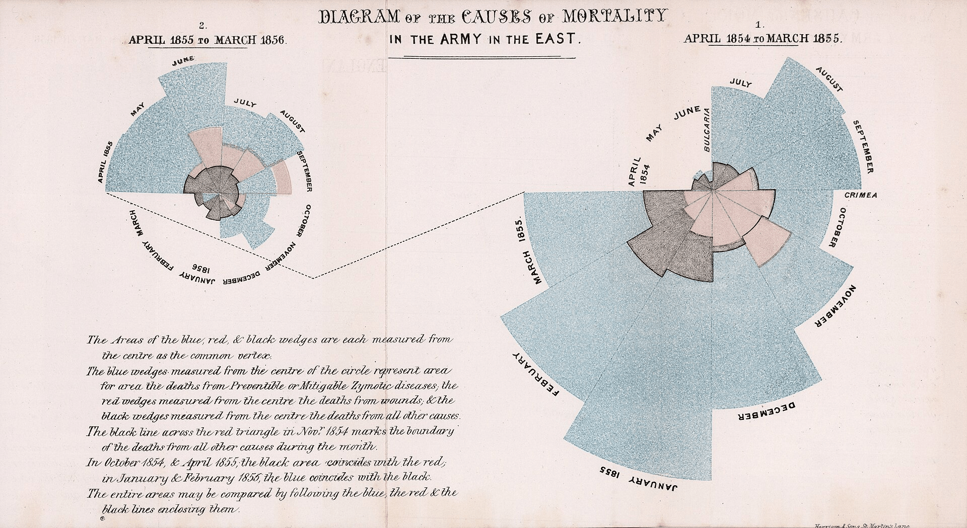
Florence Nightingale, 1858
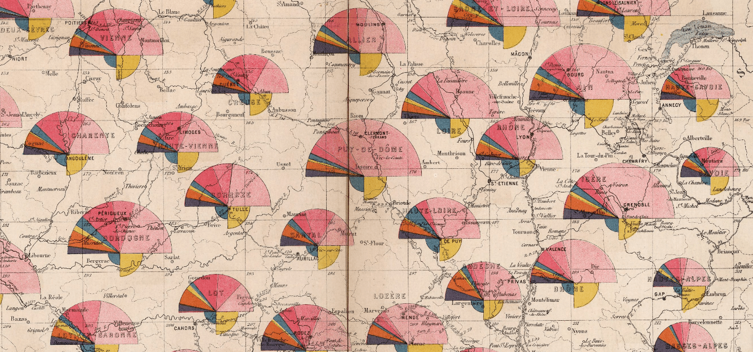
Emile Cheysson, 1880
Source: own collection
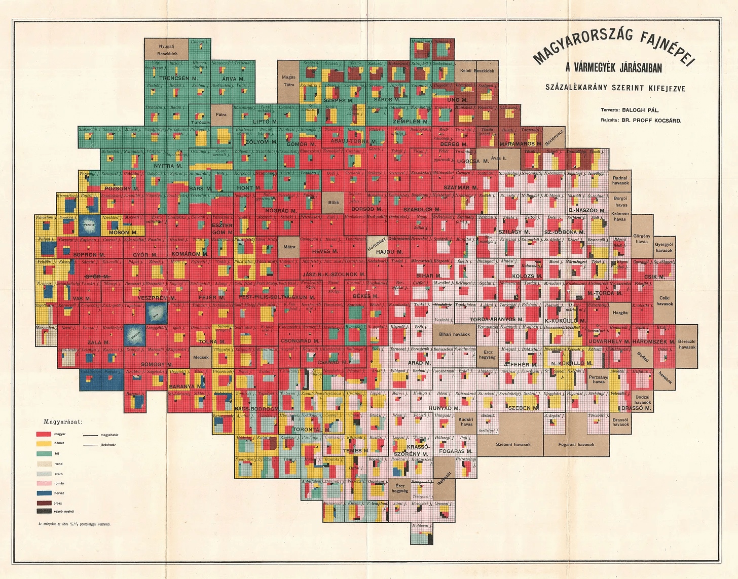
Pál Balogh, Kocsárd Proff: Magyarország fajnépei (The ethnicities of Hungary), 1902
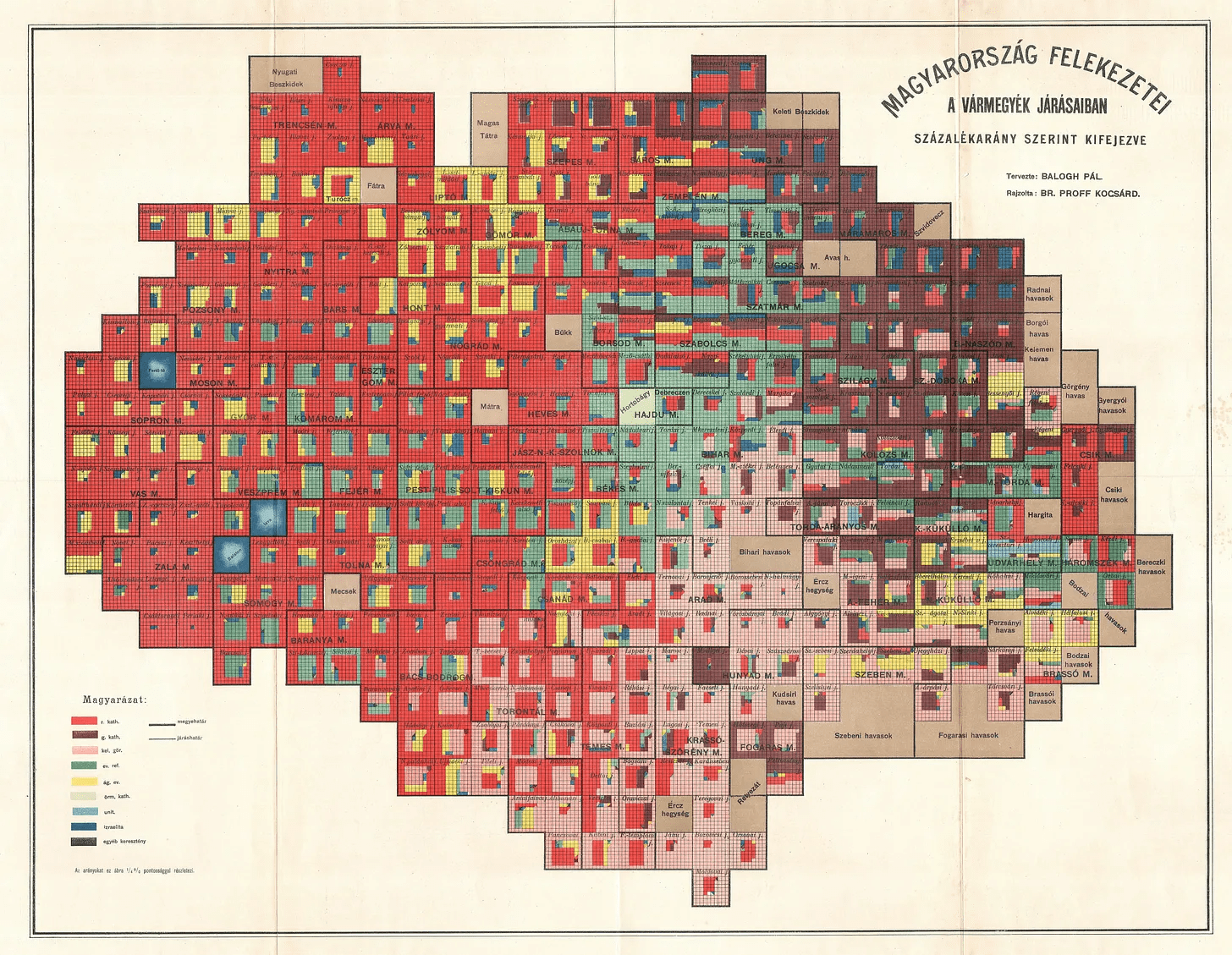
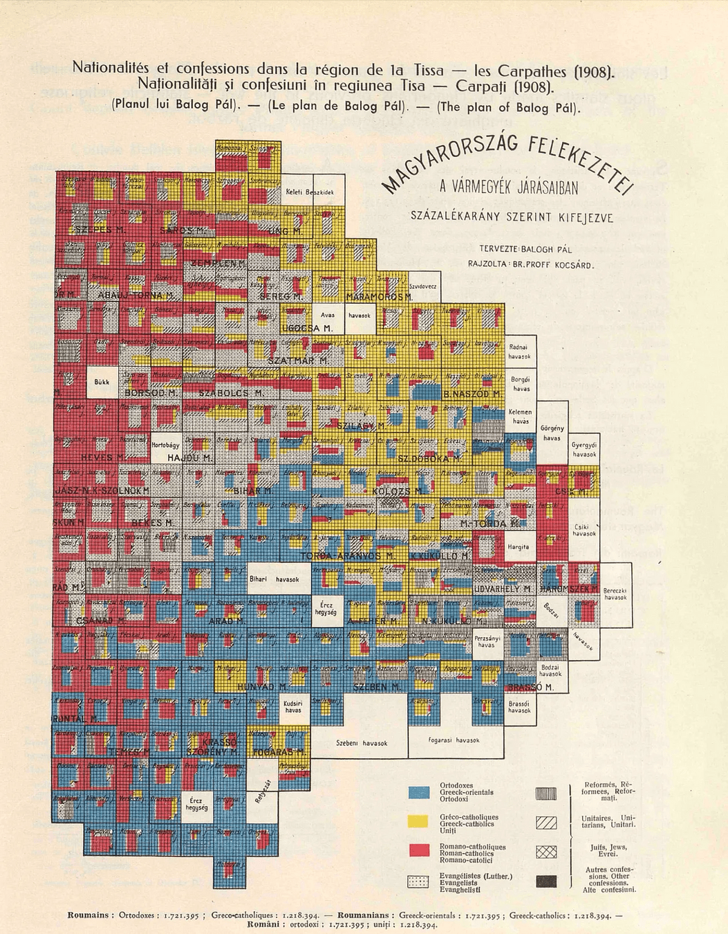
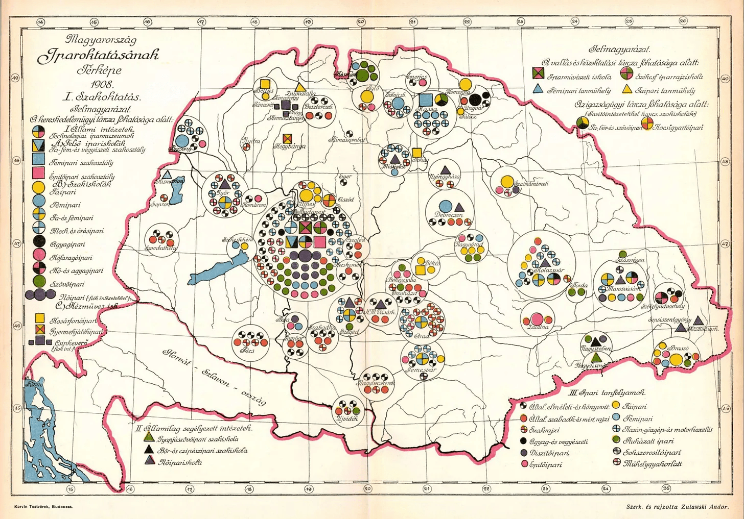
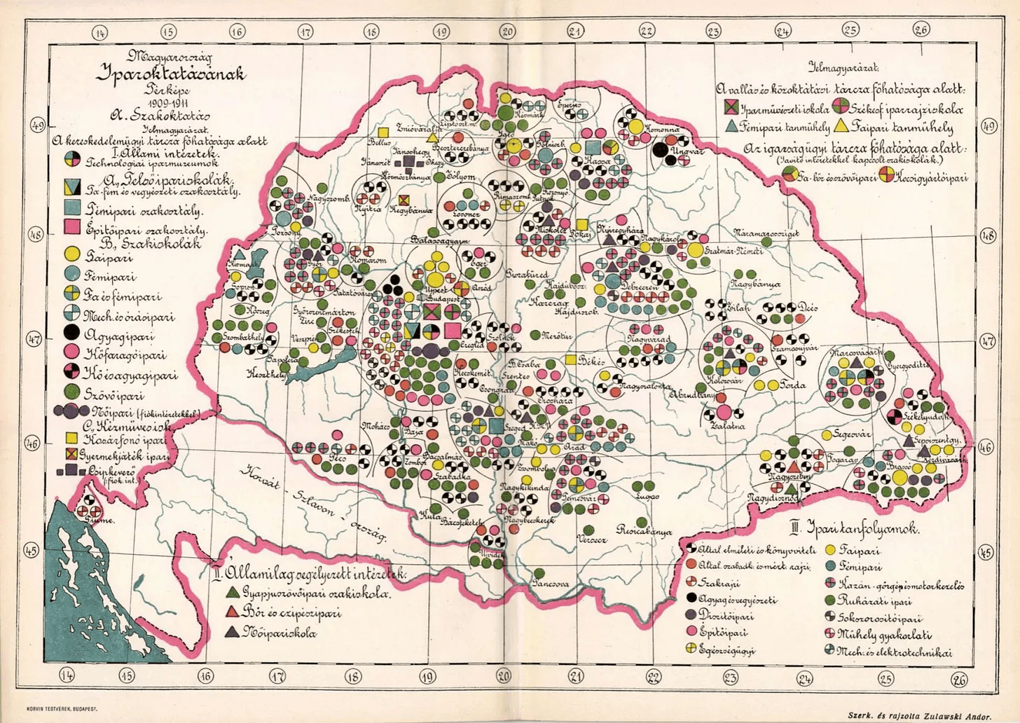
Andor Zulawski: Map of Hungary's industrial education institutions, 1909
Source: Arcanum Digital Library
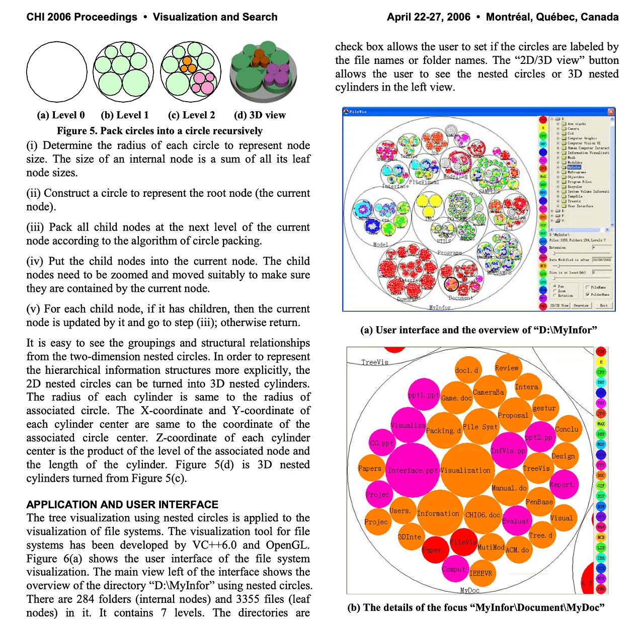
Weixin Wang et. al.: Visualization of Large Hierarchical Data by Circle Packing. 2006 Image courtesy of Wang et. al./ACM Digital Library. Open Access.
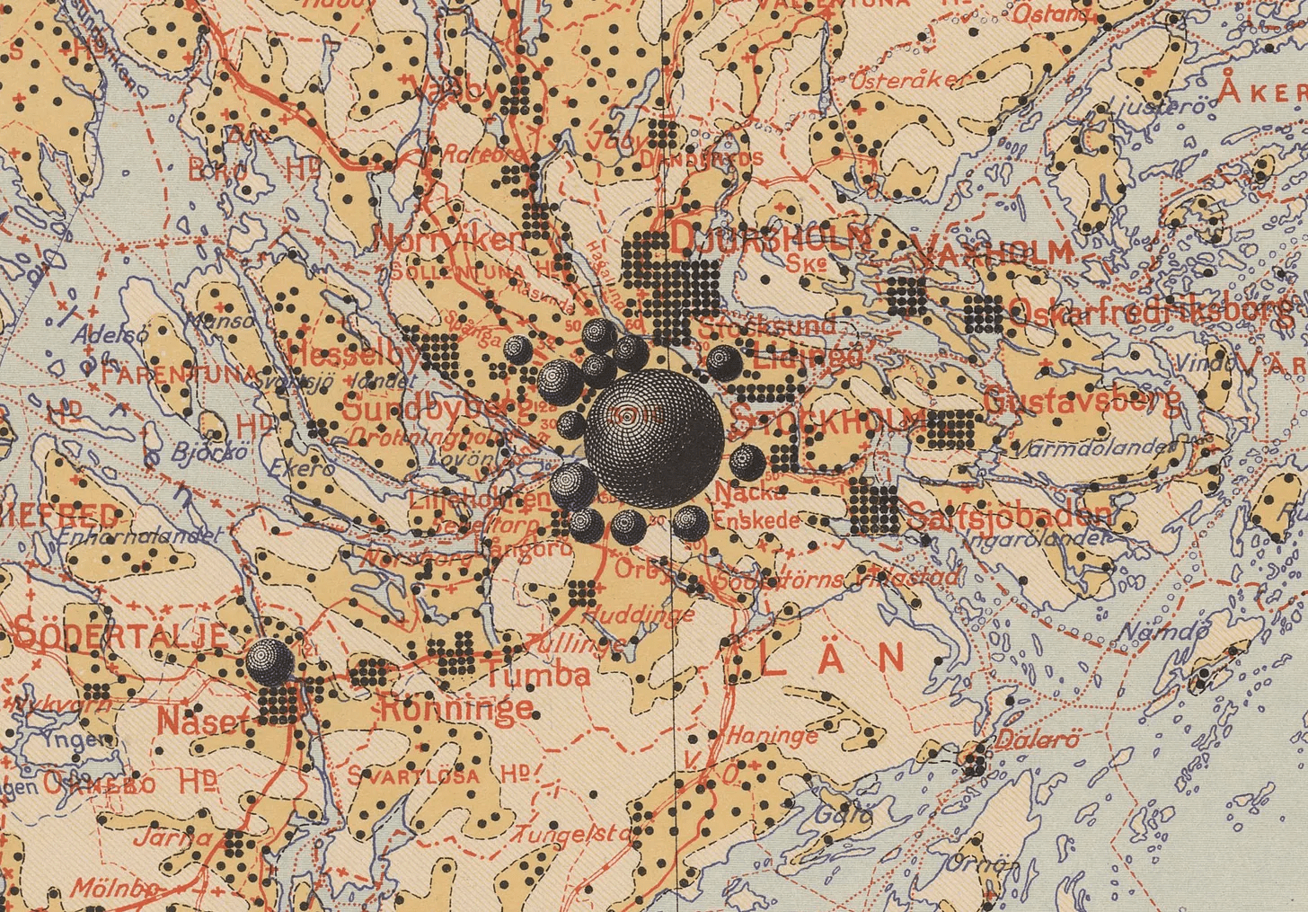
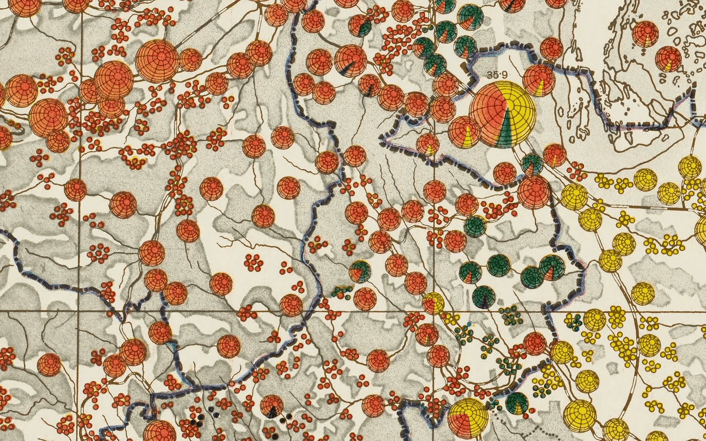
Sten de Geer: Karta över befolkningens fördelning i Sverige den 1 januari 1917
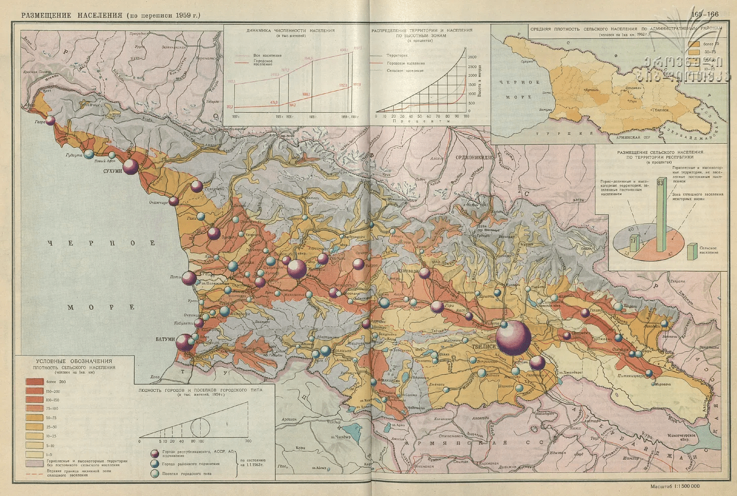
G. S. Dzotsenidze et. al.: Atlas of the Georgian Soviet Socialist Republic, 1964
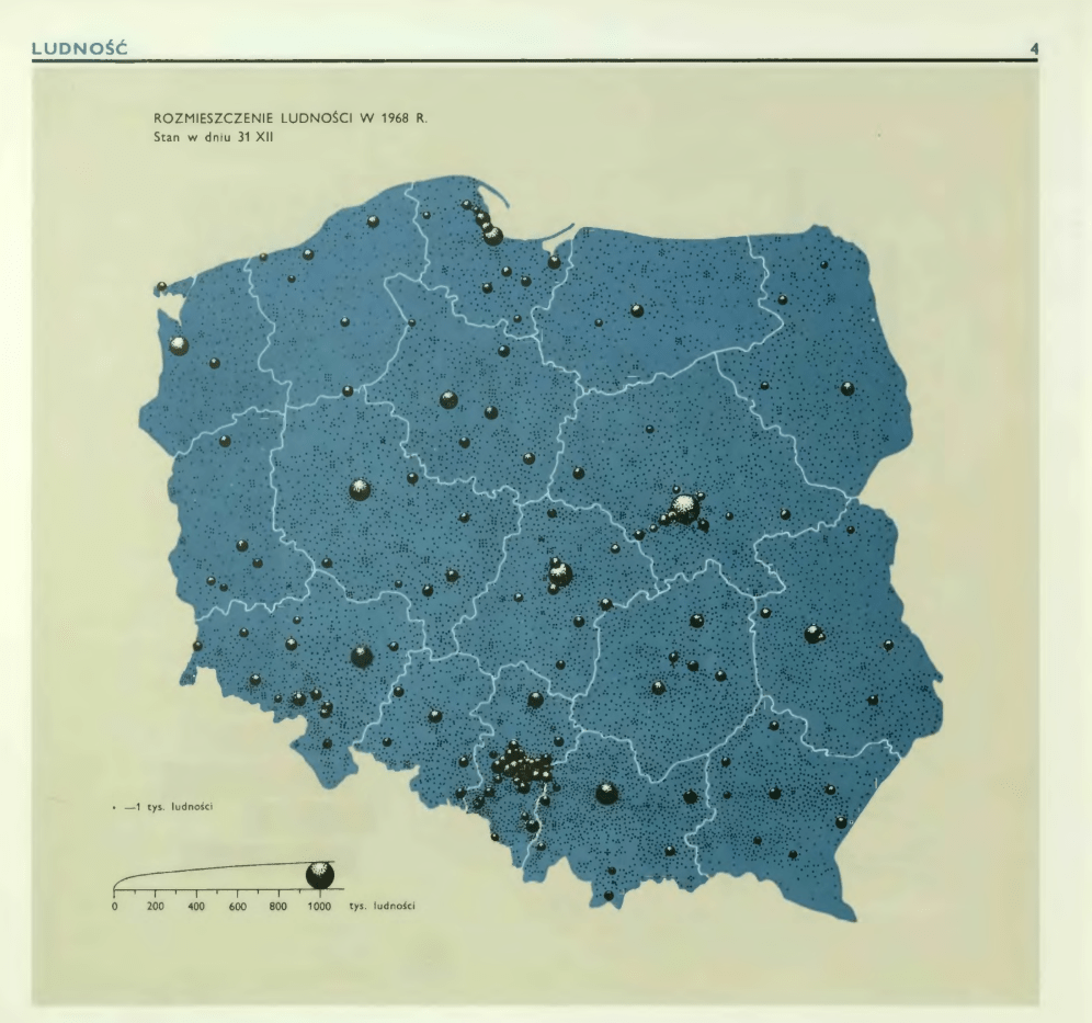
Eugenia Krzeczkowska et. al.: Atlas statisticzny, 1968
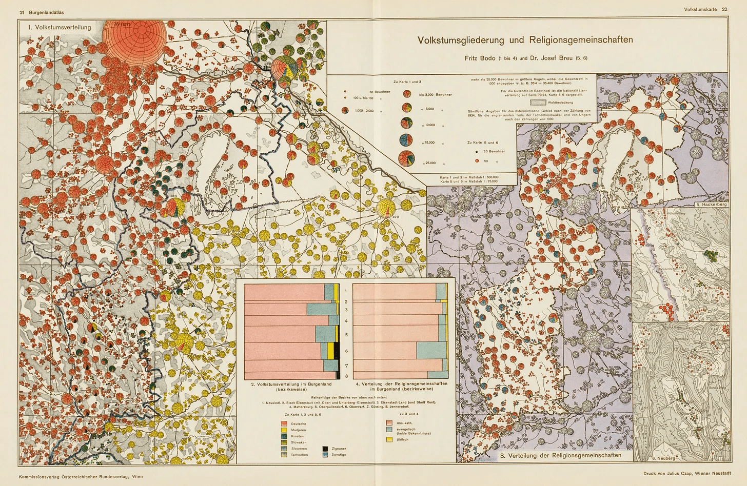
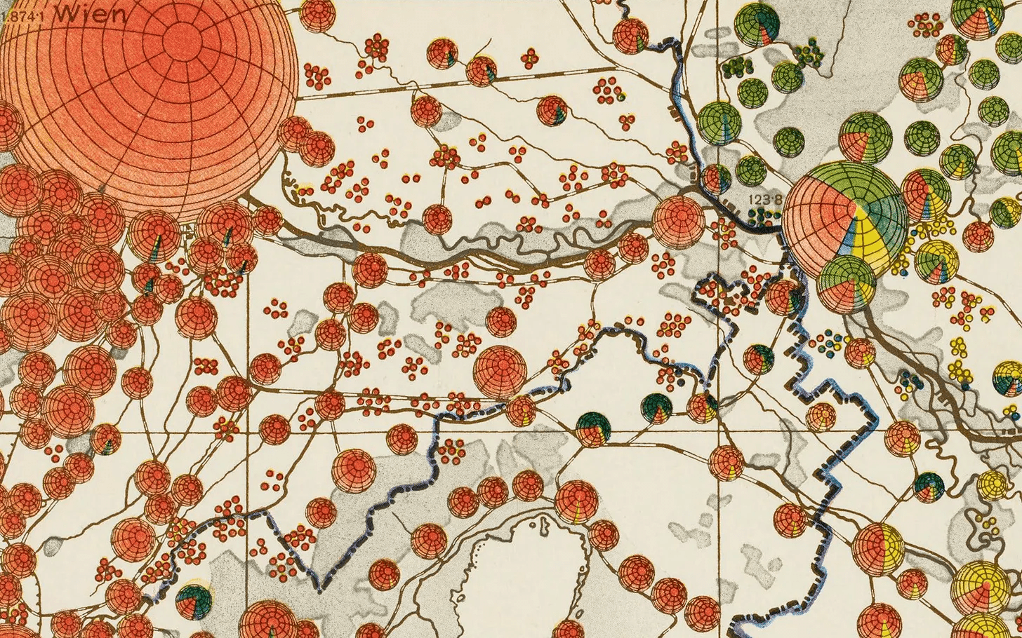
Fritz Bodo, Hugo Hassinger: Burgenlandatlas, 1941
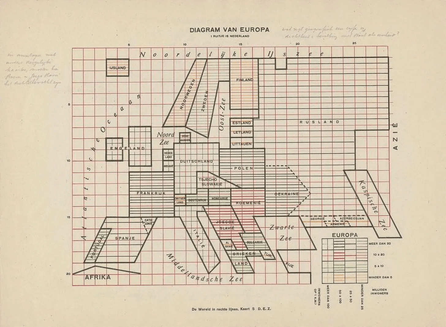
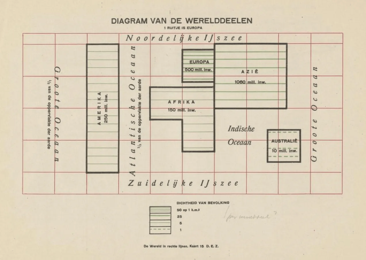
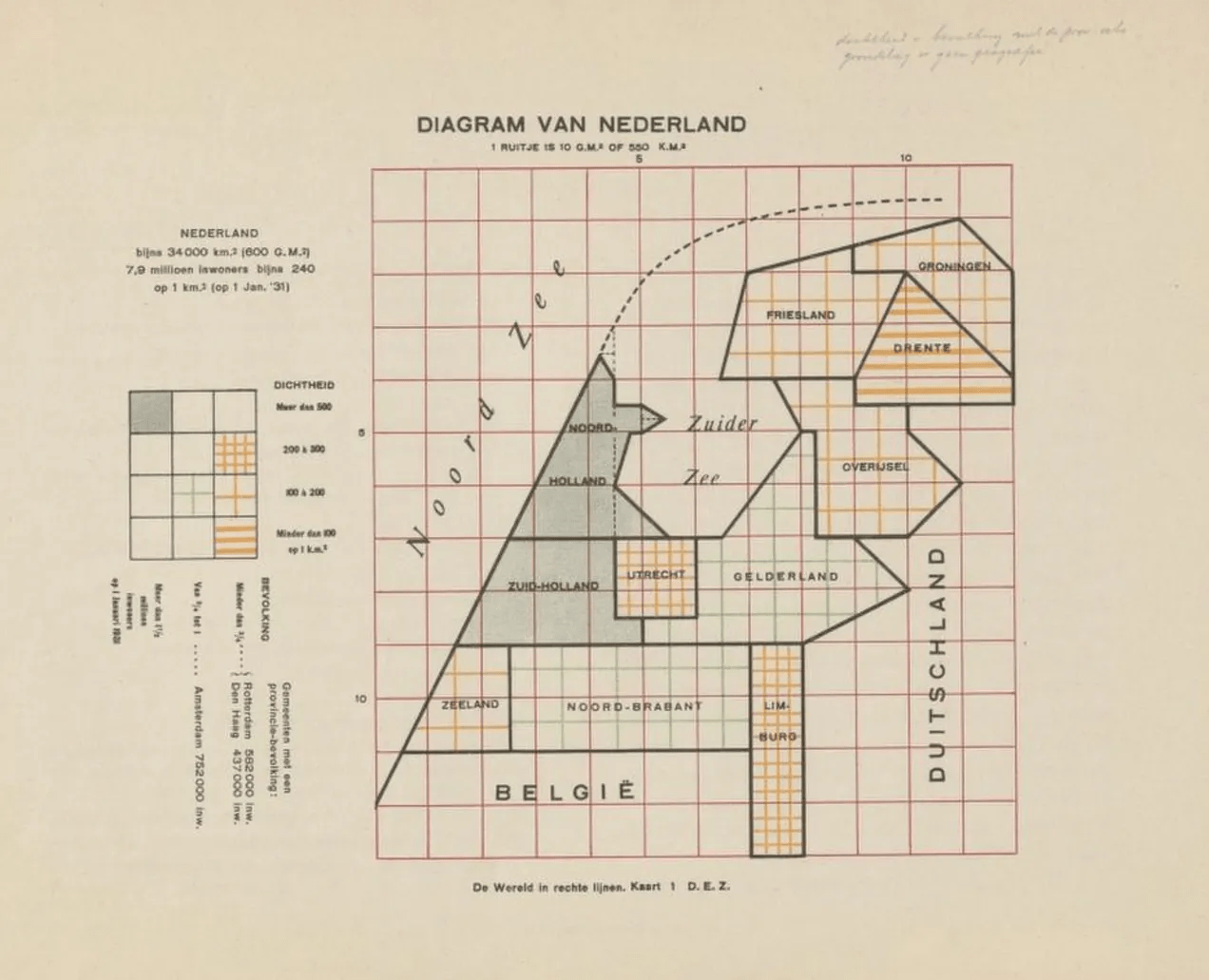
D.E. Zuidhof: De wereld in rechte lijnen, 1931
"Sunburst" method, 1934
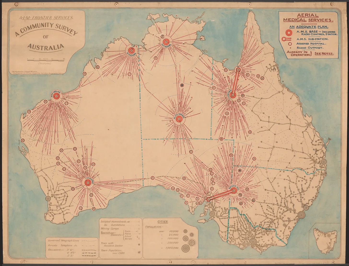
Inland Mission/Unknown: Aerial medical services, 1934?
Thank you!
attilabatorfy.com
attilabatorfy.substack.com