King Coumty WTD Drone Program
We Came, We Flew, We Mapped..
Peter Keum, (MS, GISP)
Drone Program Lead/GIS Analyst
October 21, 2026
한국환경공단 부산울산경남환경환본부





CUGOS

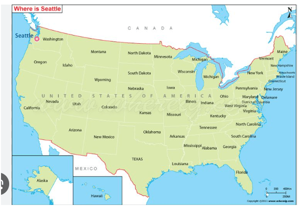
Washington State - 8 Million People (800 만 명)
(13th most in the country)
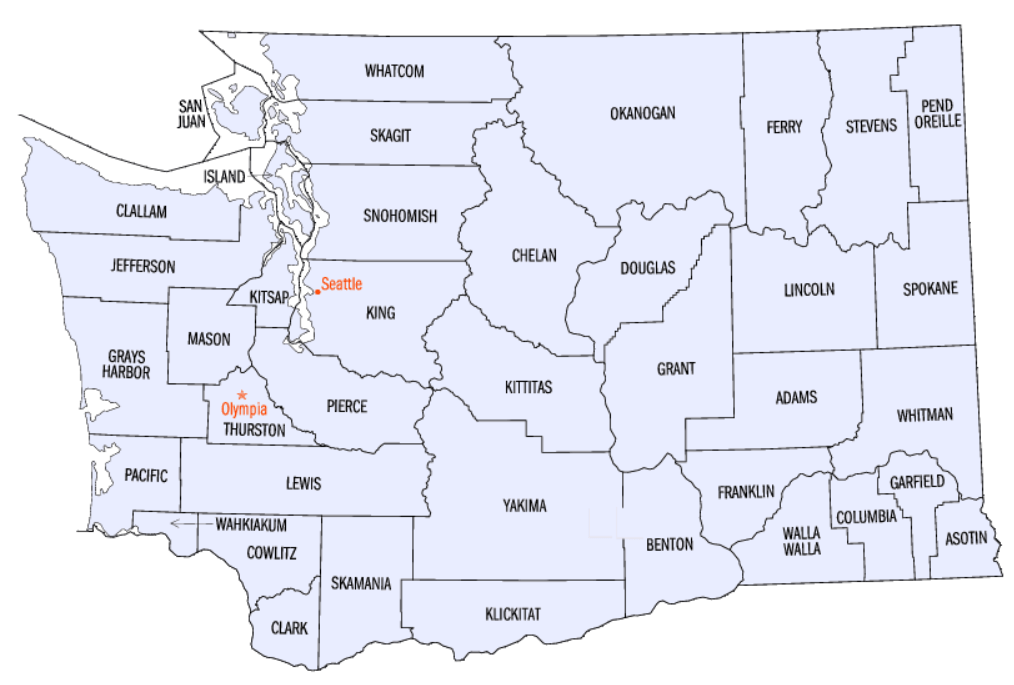
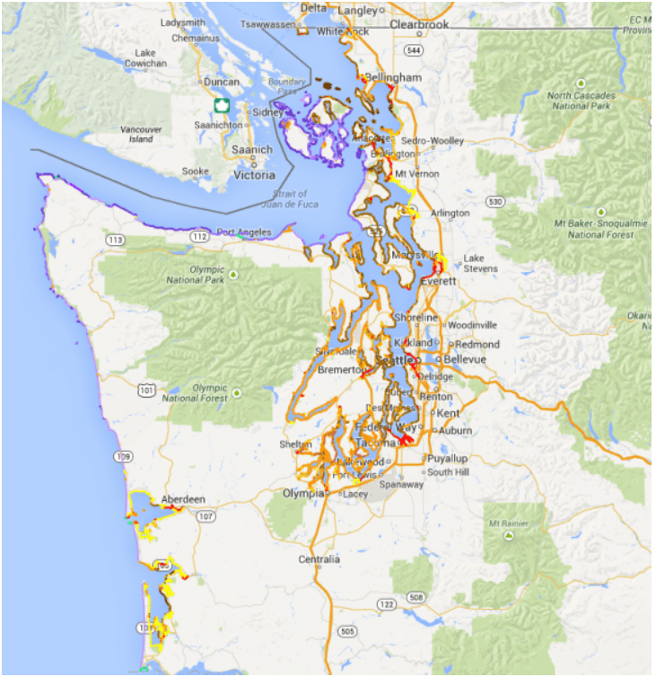
King County of Washington
- 2.3 Million People (230 만명)
- 13th Populus in the US out of 3,000 Counties (군)
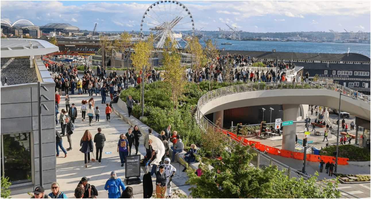
- Seattle is the Most populous city in the State

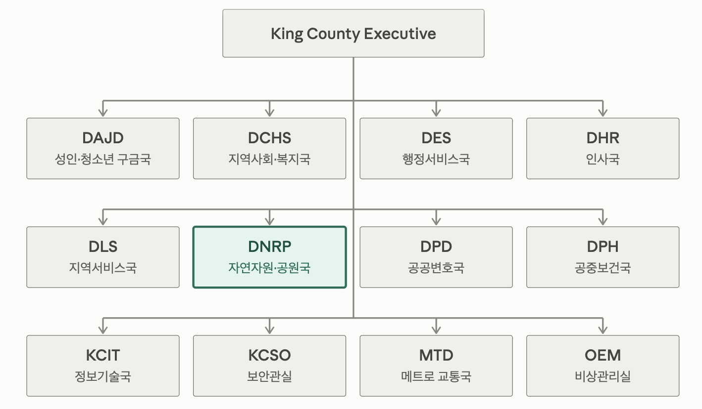
~18,000 Employees
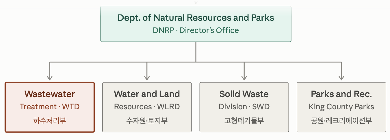
~900
~ 350
~ 525
~ 400

(GIS) Geographic Information System
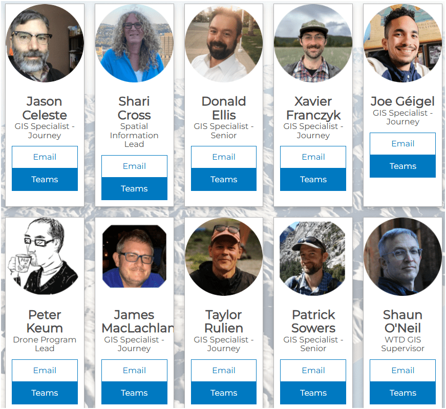
Wastewater Treatement Division GIS Team

-
10 GIS Specialists
-
4 FAA Certified Pilots
-
3 Studying to be Certified
Supervisor
383
2,000,000
(2 Million)
15,000
178,000,000
(178 Million)
Guess ??
1억 7,800만
200 만
383 Miles
of Pipe
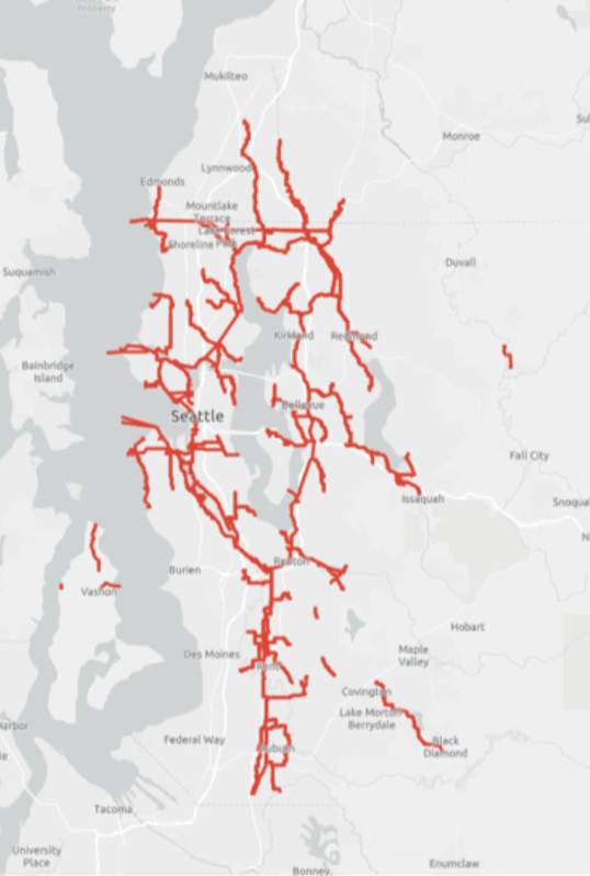
2,000,000 (2 Million) People / 200 만명
15,000 Trucks
178,000,000 (178 Million) MGD (Million Gallons/Day)
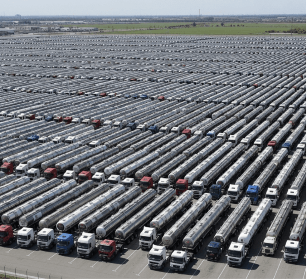

6억7,300 만 liter

616 Km

King County Wastewater Treatment by Numbers
- 200 만명, 2 million residents
-
424 square miles (~ 1,100 km2)
-
383 miles sewer pipeline (2.5 inch to 14 ft) (6.3cm ~ 4.2 m)
-
614 km of sewer pipleline
-
74 facilities (PS & RS)
-
3 Treatment Plants: 180 MGD ~ Max. 460 MGD
-
~ 680,000 (68 만) cubic meters per day (𝐦𝟑/𝐝𝐚𝐲) to 1.7 million (170만) cubic meters per day (m3/day)
-
$5 Billion ~ 6조 6,600억 원
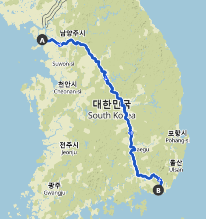
Four River Bike Trail (633 km)
Seoul --> Busan
WTD GIS
Maintain Sewer GIS Data
-
FIRS (Facility Information Retrieval System) Data
- Maintenance Hole
- Pipes
- Pump Stations
- Regulator Stations
- Treatment Plants
- Outfalls
- Flow Monitors
- CP Stations
- Connection Points
- Site Plan Data
- 3D Models
- Drone Collected Data
- .... many many more

WTD
GIS
DATA
GIS Data:
The core of a GIS is its Database
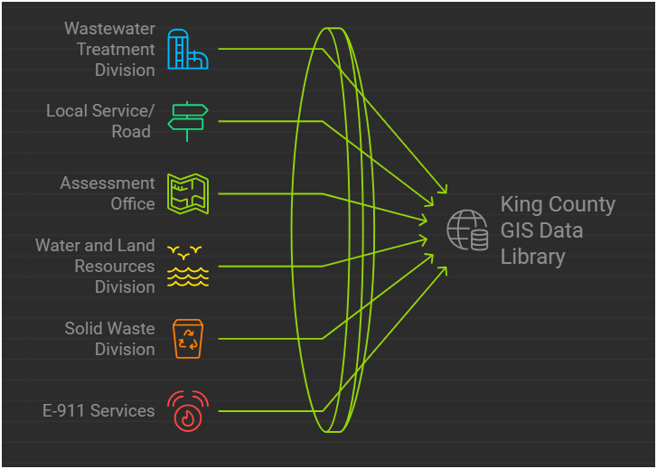
BUT.....There are 17 county agencies support
King County GIS Data Library System
WTD
GIS Data:
The core of a GIS is its Database
Why Use GIS?

GIS
Decision Makers
데이테
정보
지식
인사이트
지혜
의사 결정자
Program Support
- CSO (Combined Sewer Overflow) Control Program
- Modeling Group
- CIFM (Conveyance, Inspection, and Flow Monitoring) Group
- Asset Management Program
- Capacity Charge
- ....many other sections


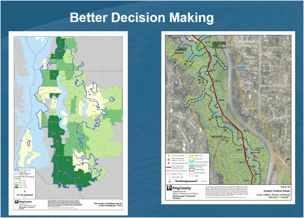
Projects & Programs Support
WTD GIS
Lake Hills / NW Lake Sammamish


Georgetown Wet Weather Station


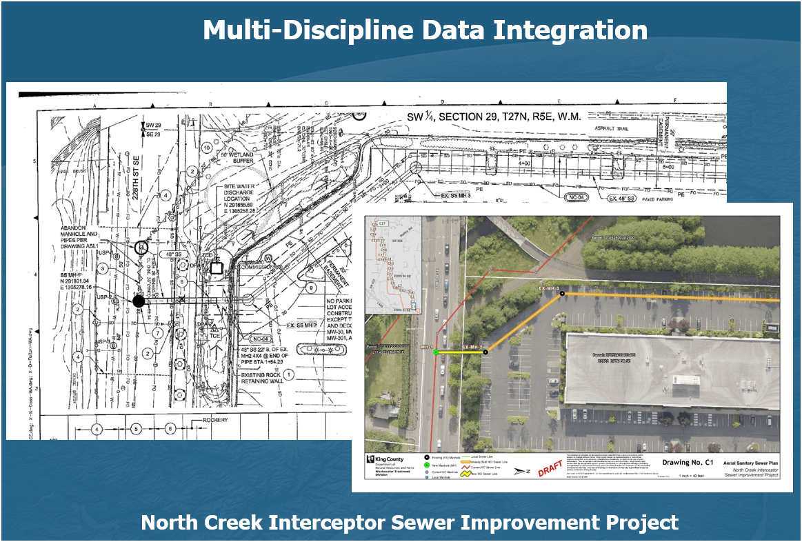
Projects & Programs Support
WTD GIS
1. Aircraft + Sensor (Data Collection)
2. Data Processing & Analyzing (GIS)
3. Information Products
=
+


1. Platform + Sensor (Data Collection)
2. Data Processing & Analyzing (GIS)
3. Information Products


Drone

GIS
Great Combo?
&
Great combo !
GIS & DRONE


DJI Mavic 2 Pro (1)

Mavic 2 Ent. Adv. (1)

Mavic 3 Ent (2)

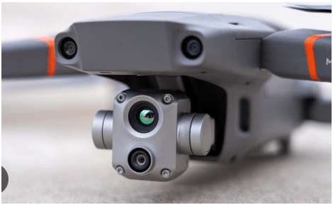
2021
2022
2023
Matrice 4 Ent. (1)
2025
Total: ~ $27,000
(3,600 먼원)
Latest Hardware $41,000 (5,400 만 원)

$11,000
All WEather
L3 - lidar
~ $ 18,000
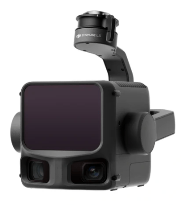
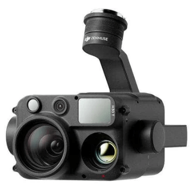
H30T - Thermal
~ $ 12,000
KC Wastewater Treatment Drone Program

People
+
Technology
+
Organization
=
Drone Program
- Environmental Monitoring
Examples - Effective
August 2022
March 2022


April 2023
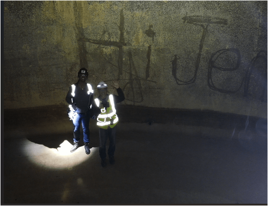
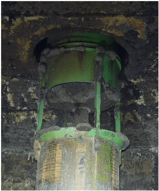
Inspecting Inside Digester
0.50 in/px
June 2025
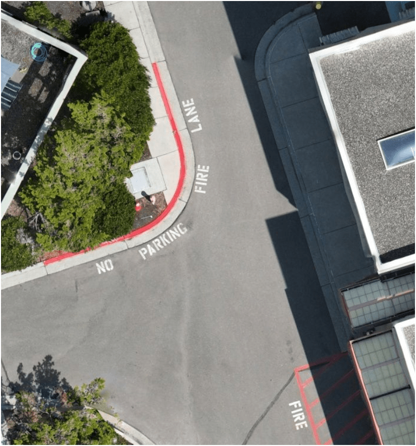
6x time the resolution
(from KC Aerial Imagery - June 2025)
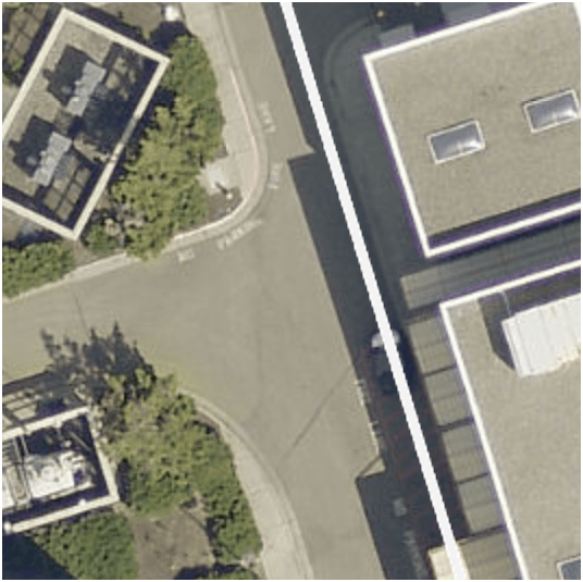
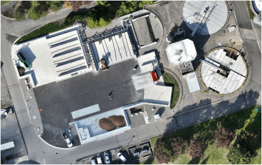
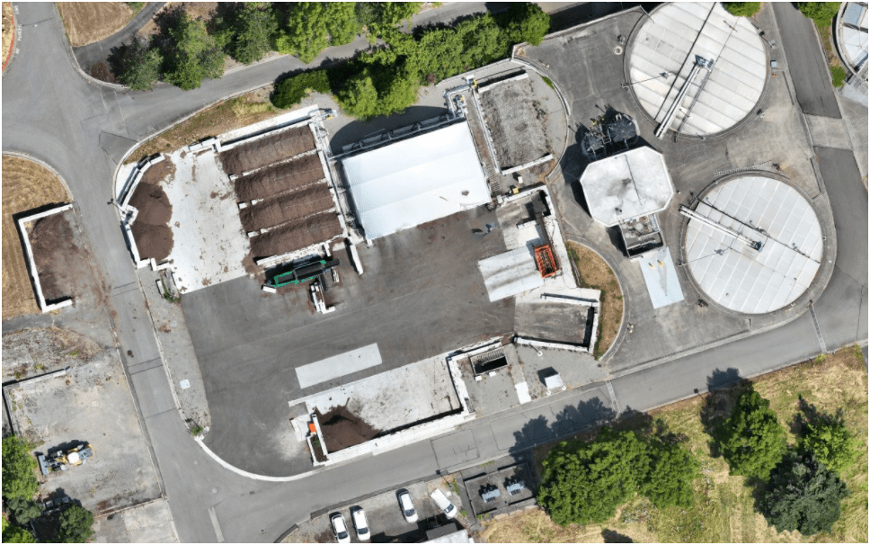
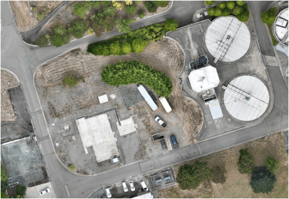
3. Effective - Producing Results
Sep 2023
Oct 2024
June 2025
Compost LOOP
pilot-project
Construction Site Monitoring
3. Effective - Producing Results
E3
Ship Canal Water Quality - TBM
3. Effective - Producing Results
E3
- Construction Site Monitoring
3. Effective - Producing Results
West Point Treatment Plant (1966/1996)
Brightwater Treatment Plant (2011)
South Treatment Plant (1965)

END
for now
Thank You
peter.keum@kingcounty.gov
Project Examples
Environmental Monitoring
Project Managment
Story Telling