Peter Keum
WTD GIS Specialist

King County WTD & DRONE
August 5, 2020
FAA Part 107 Certified Remote Pilot
Serving Drone Data to
King County Enterprise Portal
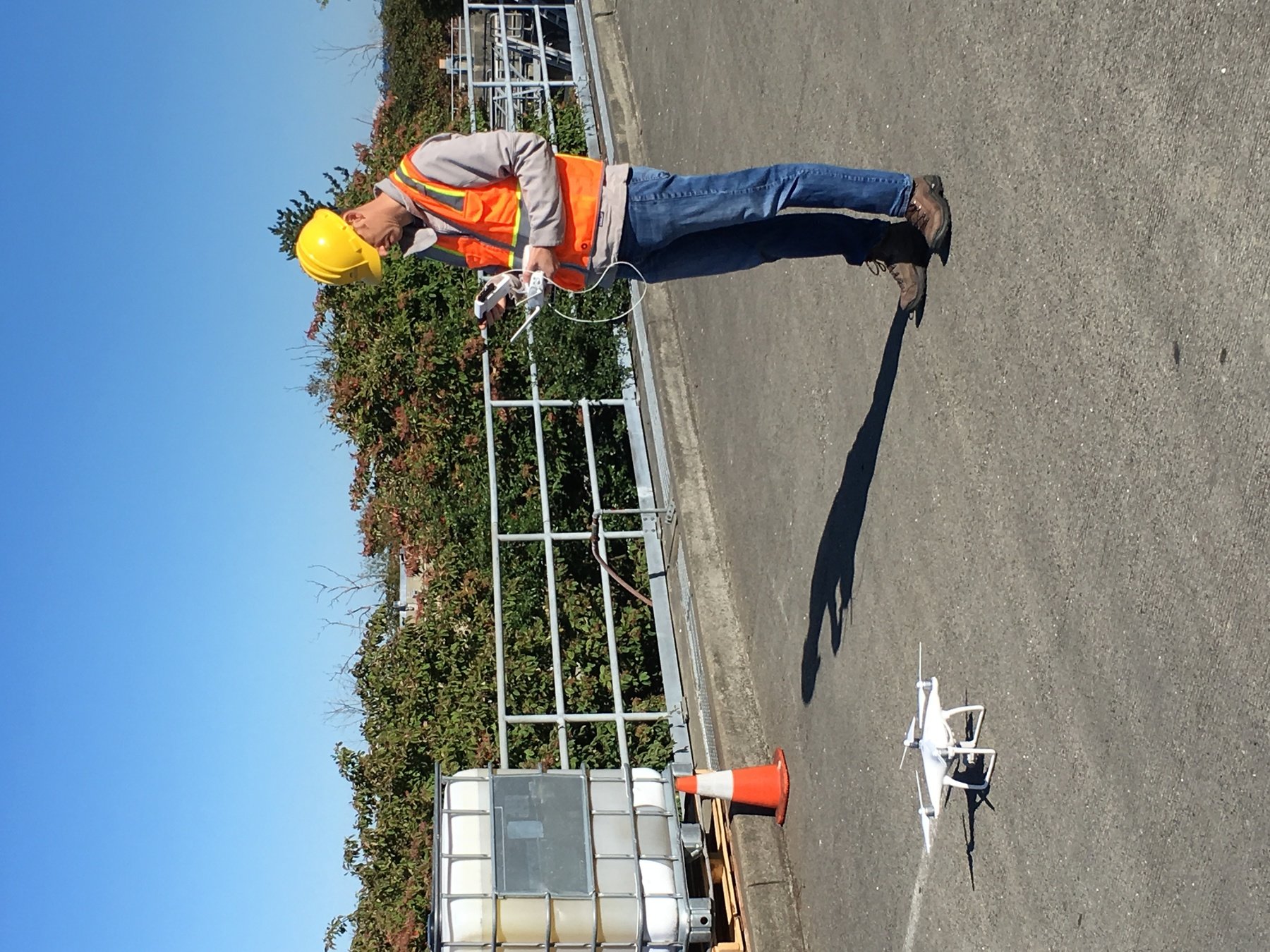
UAV - Unmanned Aerial Vehicle
FAA Definition: Unmanned Aircraft (UA) system that is operated by a pilot via ground control or on-board computer.


Background Information
UAV Categories

Small - $
- Size: 1 - 2 meters ( 3 ft - 6.5 ft), < 55 lbs.
- Control: Radio control
Medium
- Size: Equivalent to a car, ~ 1000 lbs.
- Control: Visual Line Of Sight (VLOS) & Beyond LOS, RC & Satellite ~ $$$
Large
- Size: > 30,000 lbs.
- Control: Visual Line Of Sight (VLOS) & Beyond LOS, RC & Satellite ~ $$$$


UAV as Platform

Multi-rotors
Fixed-wing & VTOL

- Shorter flight time (< 30 min)
- Cover smaller area
- Highly maneuverable
- Less expensive
- Access to confined spaces
- Long flight time (+ 40min)
- Covers large area
- Larger selection of sensors

(vertical take-off & land)
Sensors Payload


Multi-spectral
Thermal Infrared

Lidar Camera

High resolution digital camera (100 MP)

Lidar Camera
Lidar Camera
Methane Gas Dector
Power Couple

GIS + Drone

1. Aircraft + Sensor (Data Collection)
2. Data Processing & Analyzing (GIS)
3. Information Products
||
+


Inspection:
Improve Safety,
Save time, Improve efficiency


Two Spaces for Drone


Outdoor
- GPS Able
- Flight planning
- Even, Diffuse lighting
- Open space
Indoor
- No GPS signal
- Limits on speed and motion
- Manual flight control
- Tight spaces
FAA Regulations - Where are we now?

Regulations
Commercial/Governmental
FAA Part 107 Rule, July 2016
-
Need FAA Remote Pilot Certification (Pilot license NOT needed)
-
171,744 - Remote pilot certified (2020)
-
441,709 - Commerical Drones Registered
-
Fly under 400 feet above ground level
-
Not to fly < 5 nautical miles around airport
-
Aircraft < 55 lbs.
-
Fly during daytime
-
Fly visual line of sight ( VLOS)
-
No flight over non-participating people
FAA Part 107 Rule
King County WTD
"Subject: WTD Policies on Use of Small Unmanned Aircraft Systems (Drones)
Managers/Supervisors: August, 2016
I’d like you to share the following policy guidance regarding the use of drones for work purposes with your staff as appropriate. The guidance specifically addresses the use of drones classified as small unmanned aircraft systems (UAS), which weigh less than 55 lbs."
- No owning or operating drones by WTD *
- Manager/Supervisor review and require Division Director approval
- 3rd Party to meet KC Risk Management requirements
Standard Drone Workflow

ArcPro
Geoprocessing
Cache Tile
Move Tile
ArcPro Geoprocessing

Data Management Tools -> Package -> CreateMapTilePackage
ArcPro Geoprocessing

Data Management Tools -> Package -> SharePackage
King County Enterprise Portal
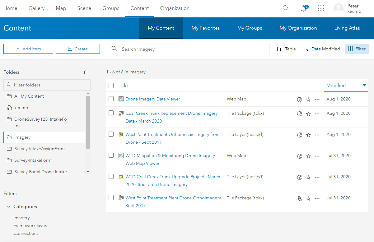
KC Dev Portal Web Map

KC Dev Portal Web Map
Demo Page
