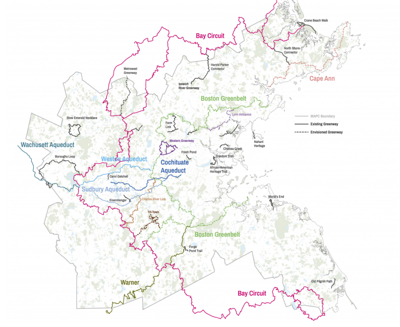
Trailmap Possibilities
Timeline & Vision
Many key question to ask
The first step is to see where we are today. Current data gather
What if no State Money, What MAPC going to build?
The developed shared vision and architecture based on input form members
Then come to gether and agree on and get full buy -in
Trailmap Possibilities
There are many improvements to Trailmap, that could help make progress towards achieving the application's goals
Prioritizing those improvements... What are the priority needs?


Application Needs
Features
Dataset
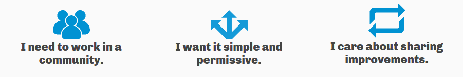
Community
Community Data Collection & Entry
Data Maintenance & Sharing
Data Display
Add Features for Users
No site will have all features for all users, we can prioritize the needs of users and add features to an application that meet those needs.
Grow and open the dataset
Standards and open availability will help the dataset grow. Leveraging tools that help lower maintenance cost and broaden the community.
Build the Community
Like a houseplant to survive it needs to be watered. Regional Planning Agencies together can play a critical role in achieving a comprehensive and up-to-date dataset
Framework
Framework of Needs
Build the Community
Grow and open the dataset
Add Features for Users
Standards and availability will help dataset grow
Like a houseplant to survive it needs to be watered, in this case, we in GIS data (Regional planning?) world can share that responsibility and keep dynamic
While no site will have all features for all users, we can prioritize needs of users and add features to Trailmap that meet those needs.
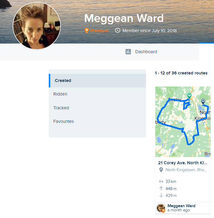
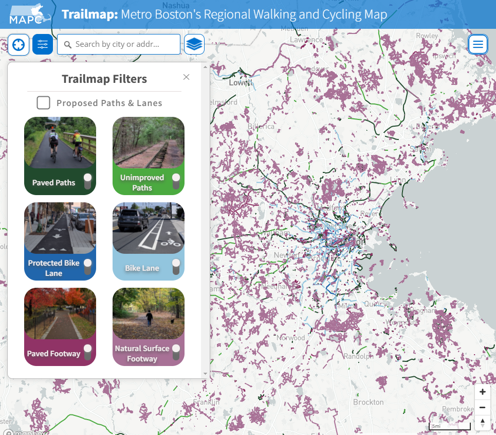
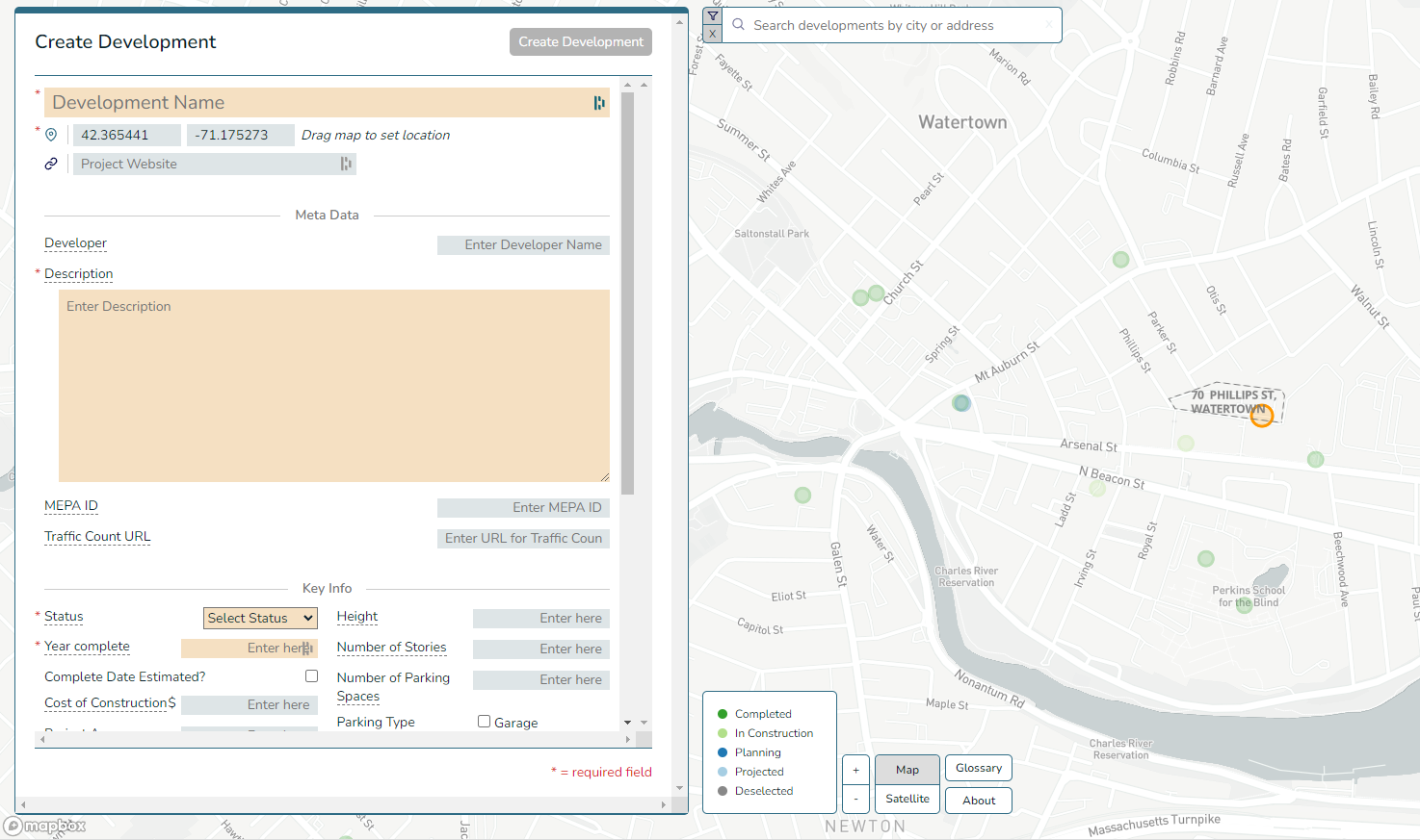
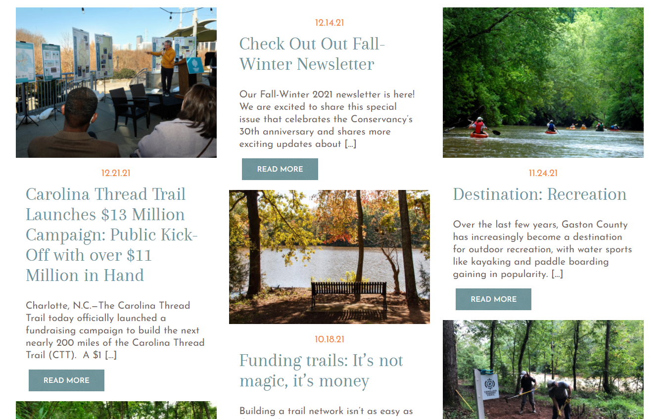
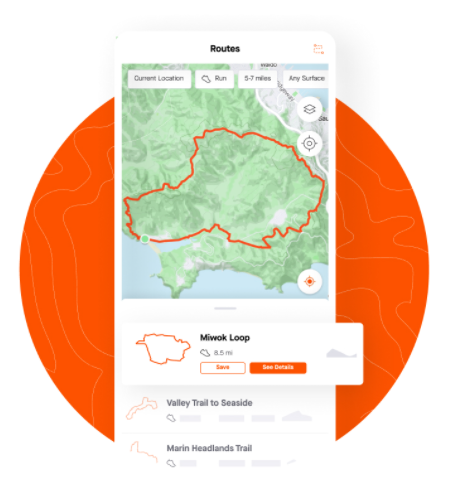
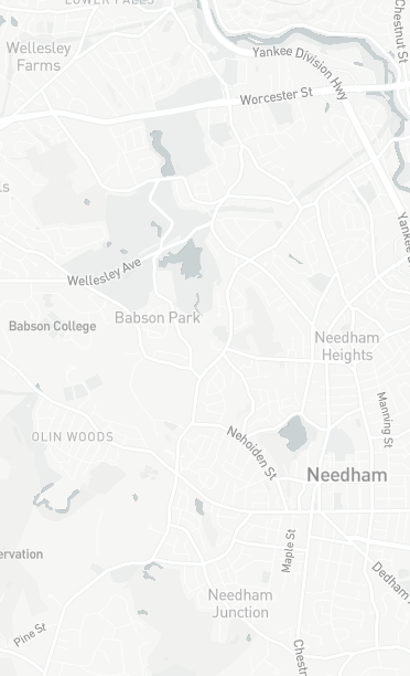
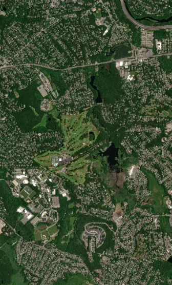
What is Trailmap
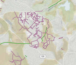
MAPC manages a dataset and website to help track the implementation of the Landline Vision Plan
It's that dataset and website we call Trailmap
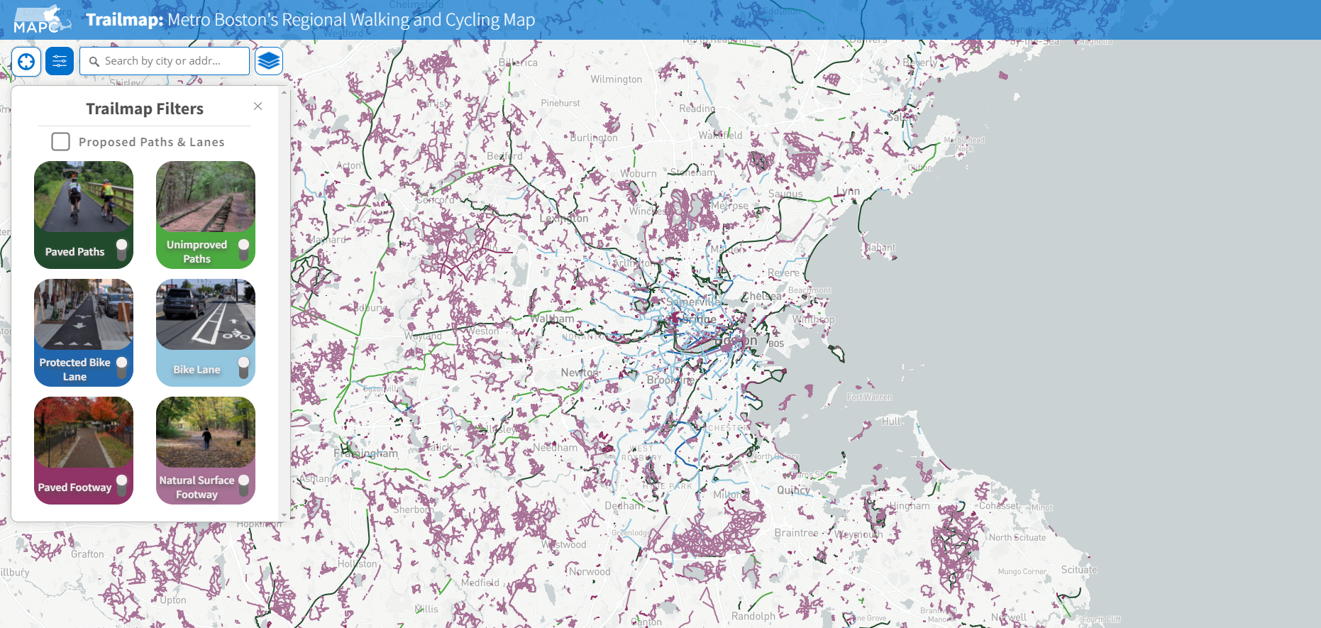
trailmap.mapc.org
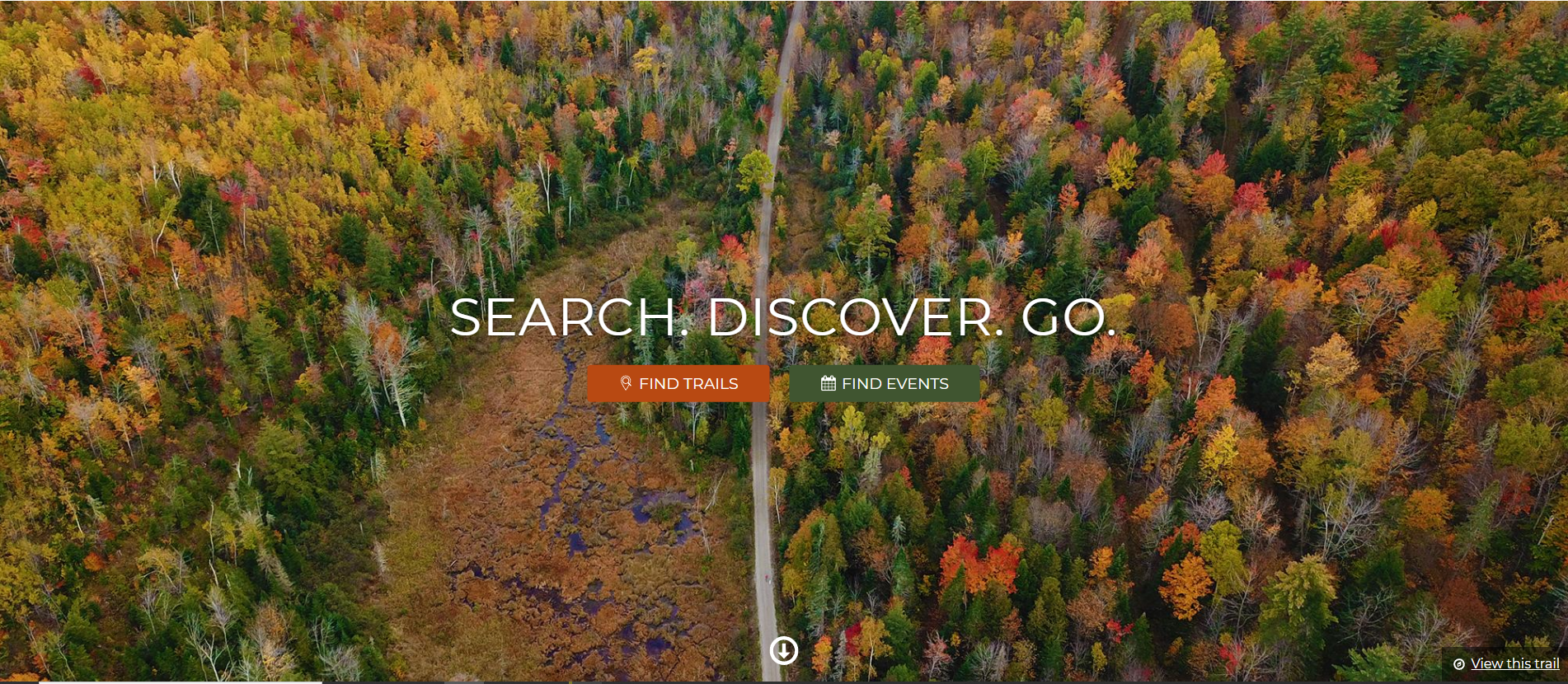
Current Trailmap Goals
Resource for advocates to coordinate expansion of trails and paths in MA

Comprehensive and up-to-date dataset of all trails and paths in MA
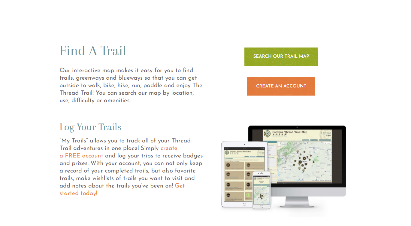
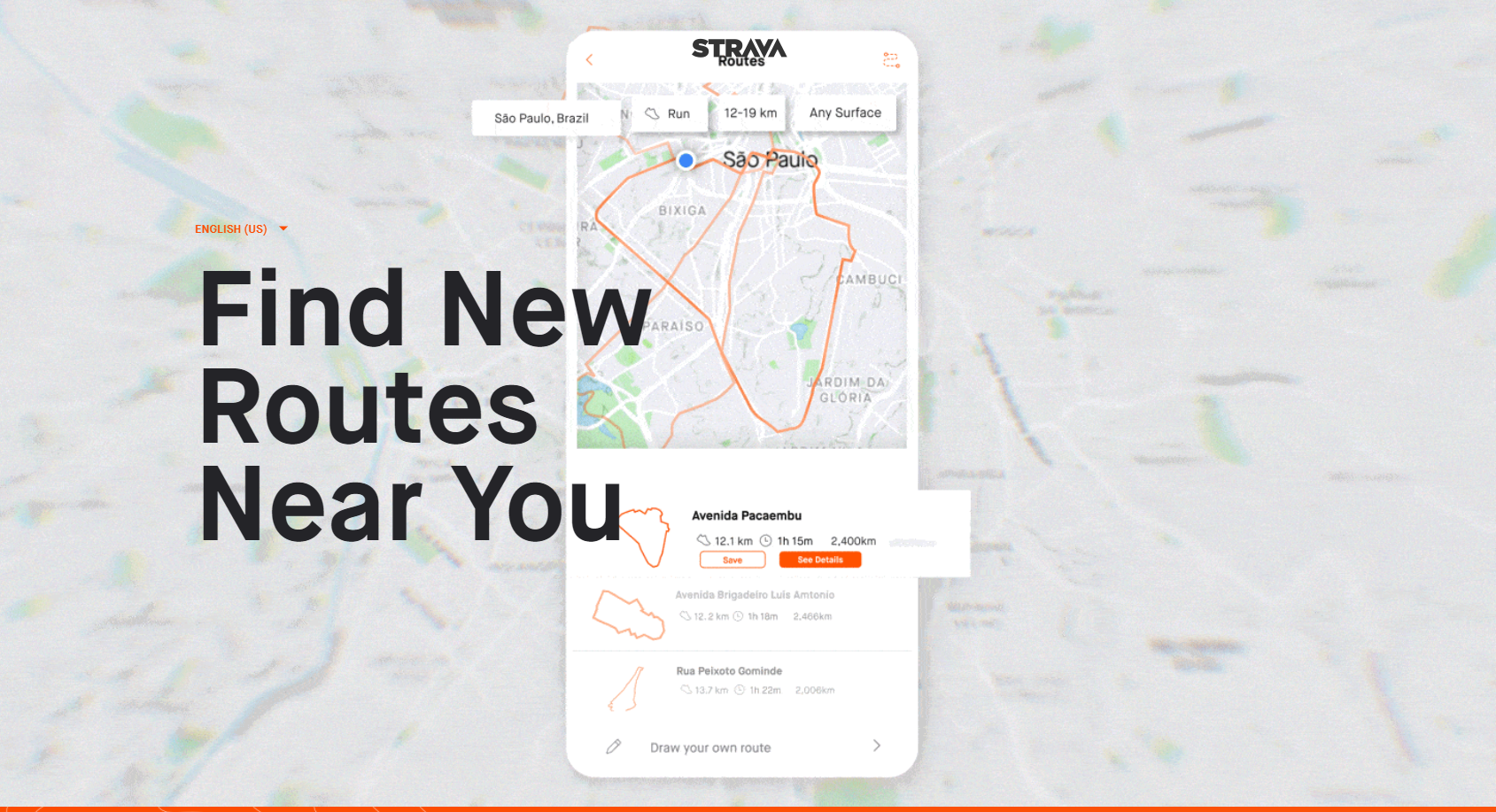
A resource for residents to plan trips and activities on MA trails and paths


1
2
3
Not Currently Trailmap Goals
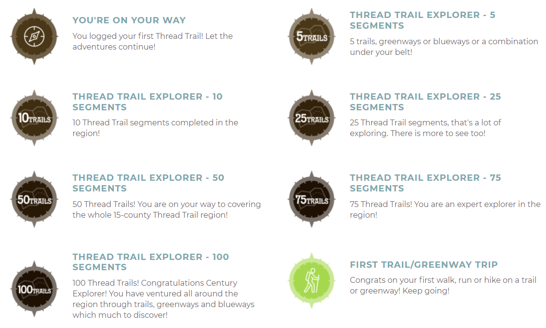
A resource for tracking trips and personal progress
A resource to share stories about outdoor activity on trails or paths
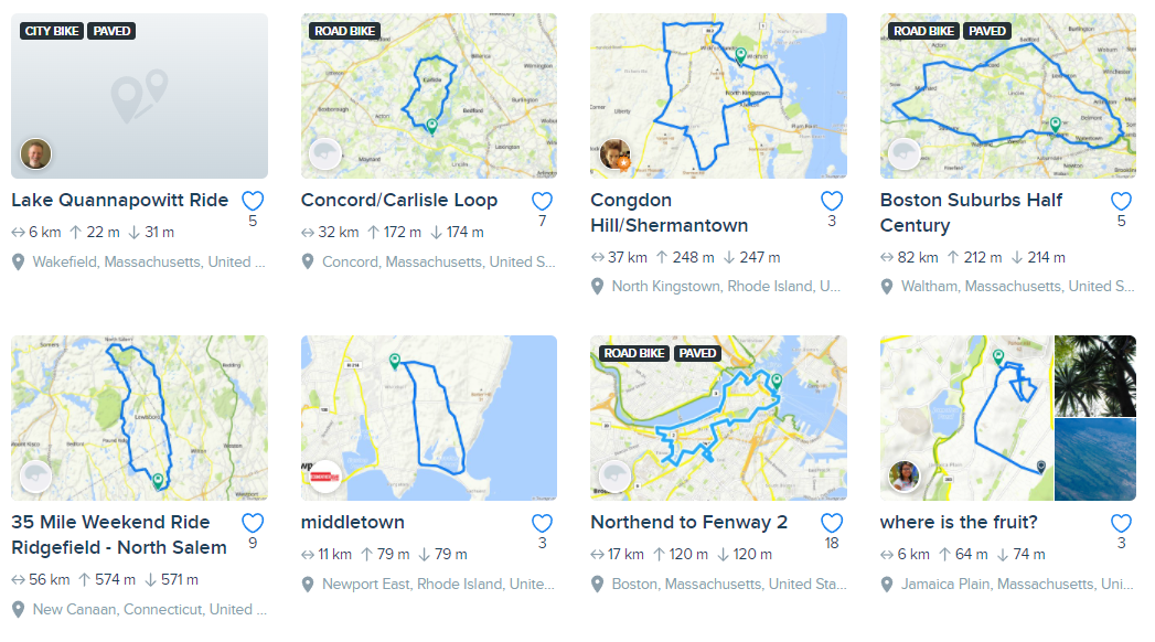
Best resource for planning outdoor trips and activities on trials and paths


Current Goals


Comprehensive and up-to-date dataset of all trails and paths in MA
Resource for advocates to coordinate expansion of trails and paths in MA
Not Yet Goals
A resource for residents to plan trips and activities on MA trails and paths
The best resource for residents to plan outdoor trips and activities on trials and paths
Resource for residents to build community around shared interest in trails and paths
A tool to share stories and experiences for outdoor activity on trails or paths
A tool to share stories and experiences for outdoor activity in parks
A tool to be presented with new opportunities related to trails and paths
A tool track trips and personal progress
A tool to share and compete with other to promote outdoor activity
Collaborative resource between gov & non profits to share updates to trails or paths
Resource to learn about public meetings for trails and paths
Resource to compare impact or ideas for future investment in trails and paths
A tool to measure, learn or rate the experience or difficulty of a trail/path/trip


MA Resource
for advocates
to coordinate expansion of trails and paths
Comprehensive and up-to-date MA dataset,
available to all,
of all trails and paths
MA resource
for residents
to plan trips / activities on trails & paths
Current Site
Maintenance Cost?
Recent Annual Updates?
Like a houseplant...
web services survive when cared for
Community Data Collection & Entry


Collaborative open source communities are relied on, to care for many of the key components that underpin the web's services
There are a number of tools that help facilitate collaboration
by lowering the cost of coordinating
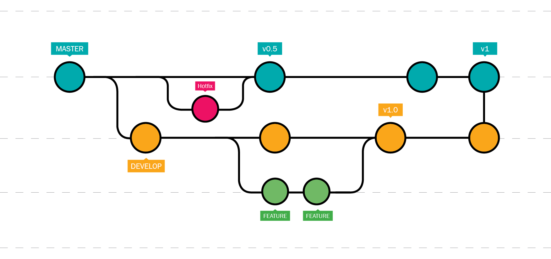
Well one magic weapon that is available to support collaboration is track changes on steroids... git
Version control is key to quickly managing and resolving edits allows for lowered coordination costs and high value of return.
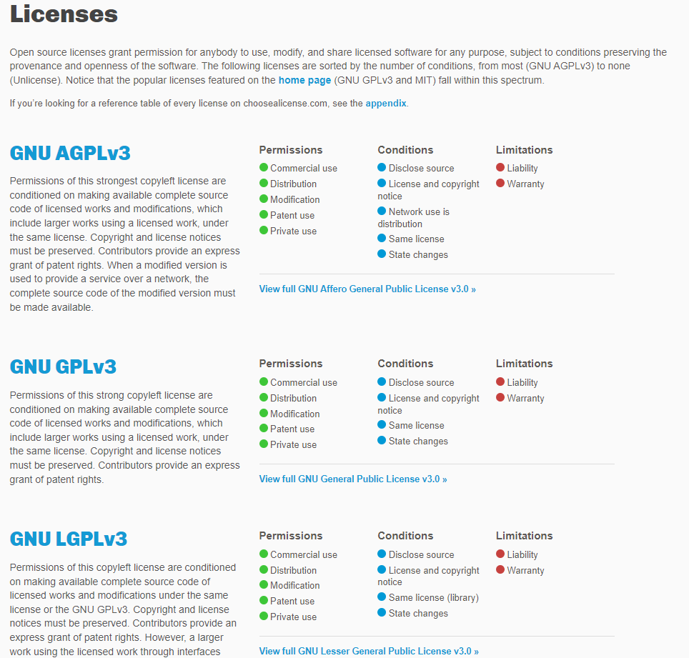
Another is agreements & licensing. Documenting and articulating governance is an important component to structuring a community.
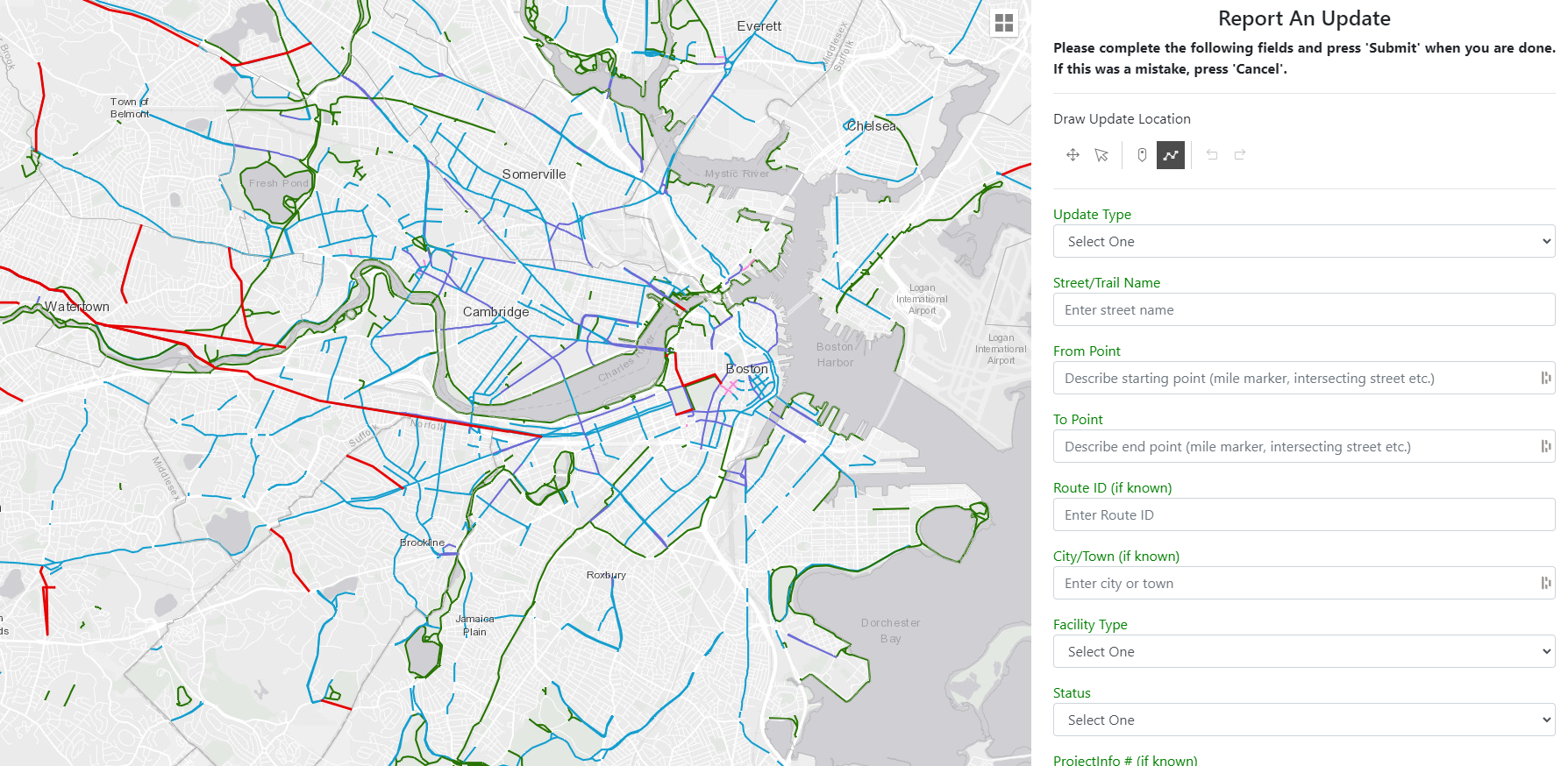
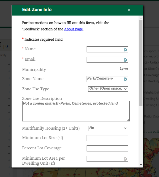
Often we fill out forms to tell of edits.
How do we make more "Show...Not Tell"?
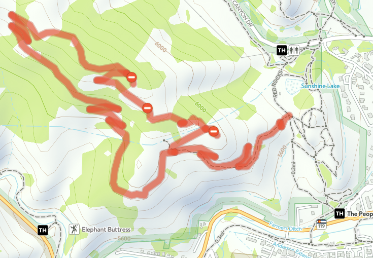
Editing Together
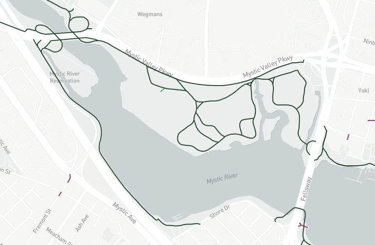
Example of Spatial Editing
Together as a community, we can maintain an up-to-date, comprehensive dataset of all trails and paths in MA
It will require some new tools and commitment
Collaborative communities underpin and care for many of the services we use.
web services survive through a community of care
red is prior, green is change

Considered Earth's most valuable resource
it's all about the data
Data Maintenance & Sharing
We have touched on the tools that allow for a community to collaborate & edit a dataset.
If data is open, standard, and available... new possibilities arise.
Title Text

If open, standard, and available, additional parties can leverage the data to reach the residents and help them planning outdoor trips and activities
Title Text
If open, standard, and available,
not just private parties would benefit if leveraged it could inform:
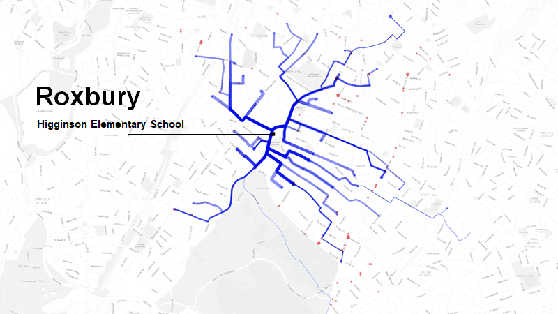
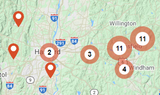
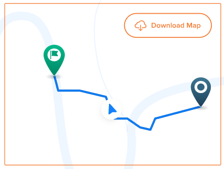
Blue = Predicted route to school bike/walk commutes
School Commute Infrastructure Planning
Comprehensive Plans
Network Analyisis
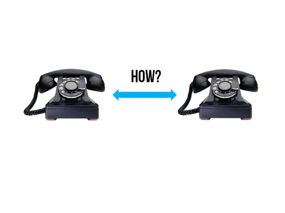
Standardized Phone
#
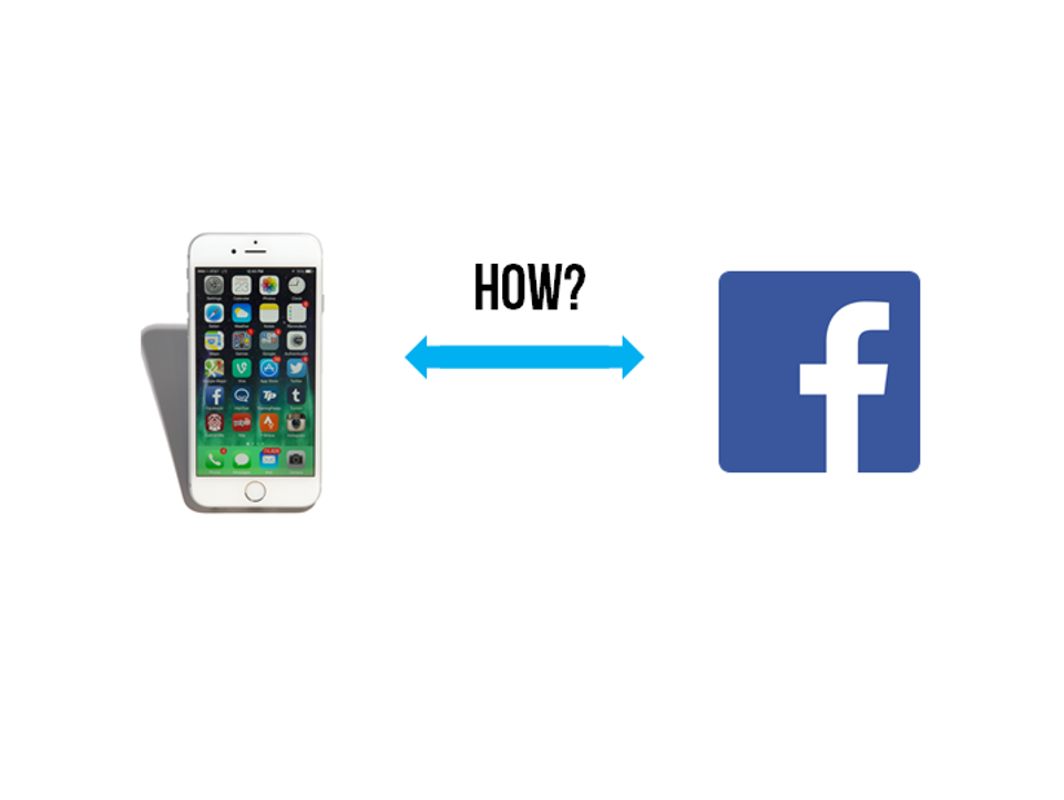
Standardized
API
What is an API? It's a website a computer goes to, to get data
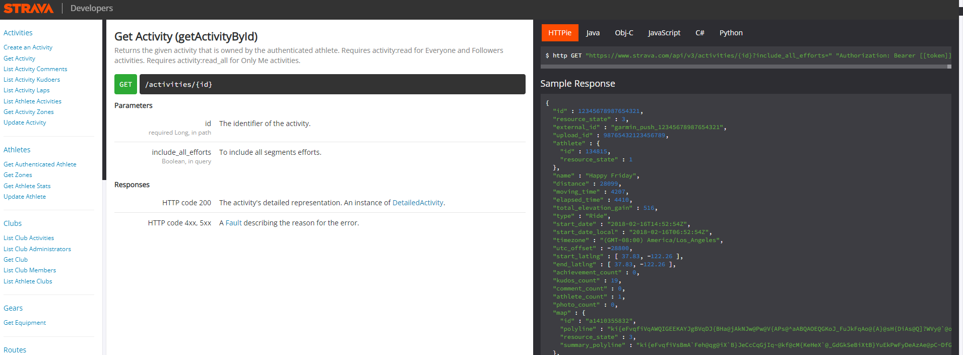
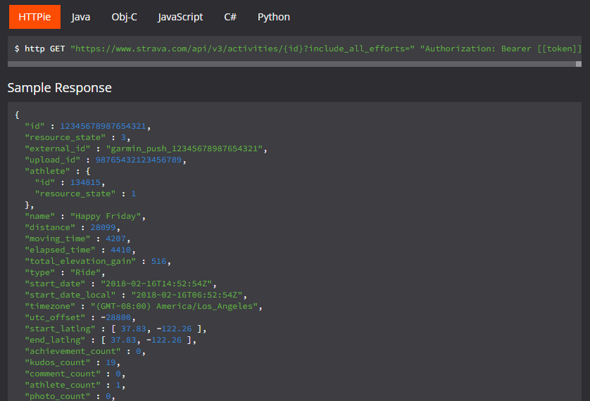
Data is important and valuable when available through a clean & understandable API
Data is important and valuable when available through a clean & understandable API
This is achieved by having a dataset not a website
Blue = Predicted route to school for students that walk
Size = Number of Students
My School Commute Infrastructure Planning
What about improving what users see... the "light fixtures".
So far, this sounds like the wiring behind the wall...
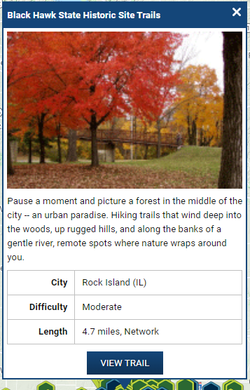
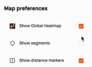
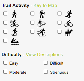
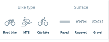
Data Display
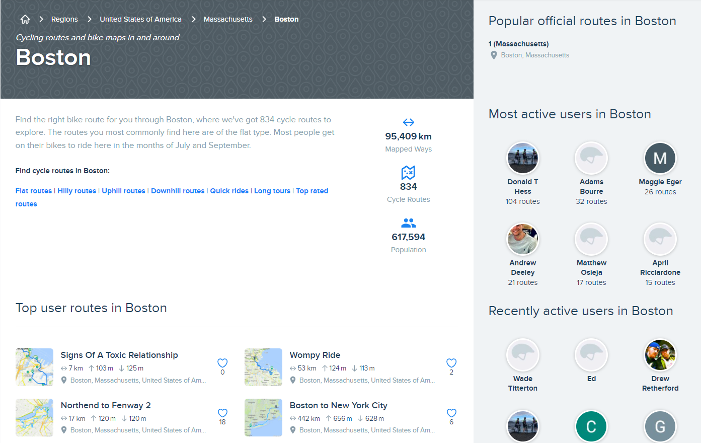
Home and Supplemental Pages
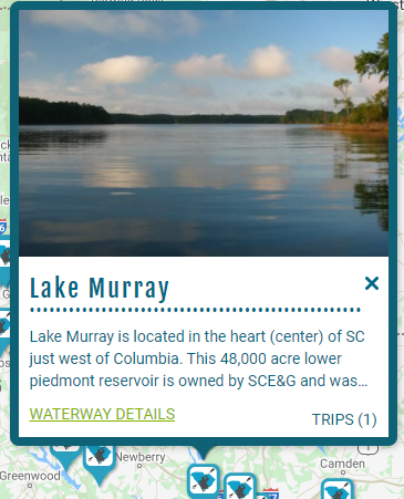
Tooltip and Trail Page Info
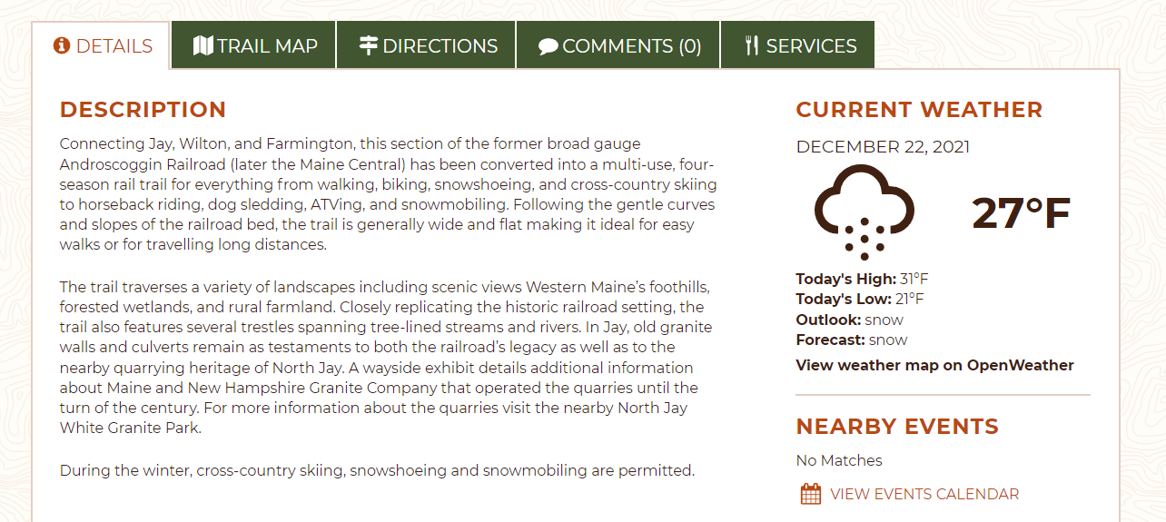

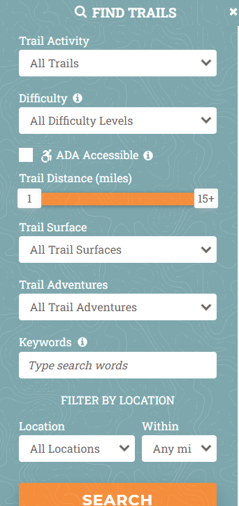
Filters and Search
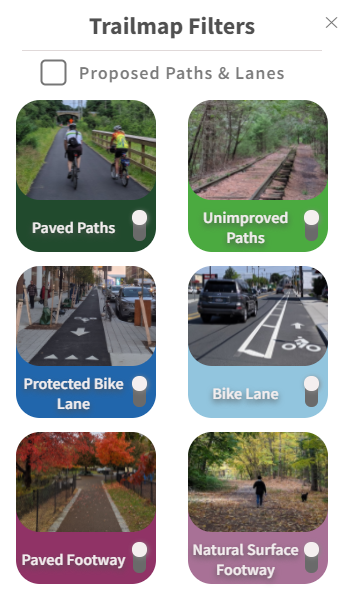
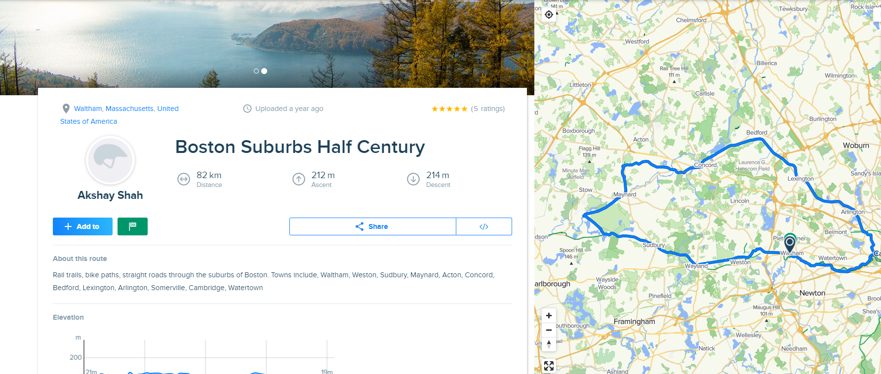
Map Markers and Trail Display
Basemap and Icon Display
User Accounts and Inputs