A Massachusetts Trailmap?
Opportunities for Regional Collaboration
A Presentation for MARPA
1/21/2022
What is Trailmap?
Trailmap is MAPC's dataset of current and proposed footpaths, shared-use paths, and on-road bicycle facilities; and the website where that dataset is published for public use. Development of has been funded through UPWP and foundation funding.
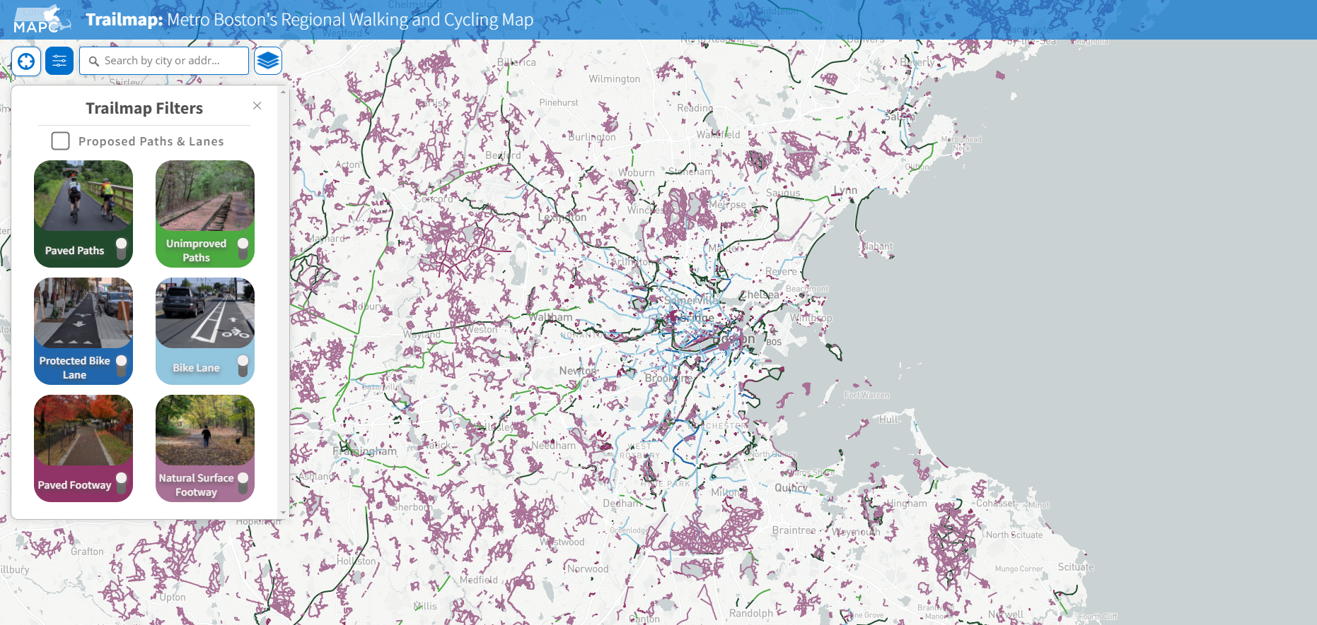
trailmap.mapc.org
Current Trailmap Goals
Resource for advocates to coordinate expansion of trails and paths in MA

Comprehensive and up-to-date dataset of all trails and paths in MA
A resource for residents to plan trips and activities on MA trails and paths


1
2
3
Not Currently Trailmap Goals
A resource for tracking trips and personal progress
A resource to share stories about outdoor activity on trails or paths
Best resource for planning outdoor trips and activities on trails and paths



Trail mapping in other regions
All Massachusetts RPAs manage their own datasets of trails and facilities in their region. A statewide compilation of these datasets has been a long-running goal.
Maintaining this data can be laborious and expensive, especially when we have to recreate data that already exists but is unavailable (e.g. land trust or municipal data.)
RPAs have previously discussed data standards, but have not been formalized. Technical infrastructure and protocols for merging and updating datasets has not yet been developed.
MassDOT maintains roadway inventory of which includes bike lanes on roads, and shared use paths; however their purview does not extend to off-road natural surface trails or urban parks
MassGIS publishes data relevant to trail mapping, but has not been funded to develop statewide trail data.
Recent Developments
Conine Family Foundation approached MAPC to offer us funding to improve the Trailmap website experience. MAPC has since meet with other states to learn about their trail management models and websites.
DCR Rec Trails Program encouraged MAPC to coordinate an application to support a statewide trail database. Program had been hesitant to fund individual RPAs and indicated a preference for a coordinated effort
Fall 2021
Dec 2021
Jan 2022
MAPC convened meeting with GIS and Planning staff from other RPAs to discuss the opportunity of a statewide effort and application to DCR for funding.
Potential Joint Activities
- Formalization of data standards
- Development of shared editing / data management infrastructure
- Engagement of stakeholders to unlock more private & municipal datasets
- Joint fundraising to support additional RPA data creation, policy, and advocacy efforts
- Rebranding & expansion of Trailmap website to cover all of Massachusetts
- Development of additional Trailmap features
DCR Funding Opportunity
RPA involvement will require staff resources. DCR Trails grant can be shared with the other RPAs to support their role in this effort. Is this of interest?
Various governance & management options are available for a shared data infrastructure and dataset, ranging from an "advisory committee" option to a more formal consortium structure with shared investments. What works best for RPAs?
If there are concerns about MAPC having a leading role in data management, what other alternatives should be on the table?
What level of effort are RPAs willing to put in to data updates and management going forward?