acartia.io
a distributed data cooperative
for sharing animal locations (including in real time)
across the Salish Sea & the range of the
Southern Resident killer whales (California to Alaska)
Meet the devs down under: TypeHuman


Nick
Peter
Ali

CO-AUTHORS: Veirs S 1 , Palamar M 2 , Lee Jenni G 2 , Byrne N 4 , Ince P 4 , Alaydrus A 4 ,
Zetterlind V 3 , Lemire Brooks A 5 , Berta S 5 , Garrett H 5 , Veirs V 1 , Richburg D 3
1 Beam Reach, WA, USA; 2 Resolve Conservation, USA; 3 Conserve.io, USA; 4 Type Human, Australia; 5 Orca Network, WA, USA
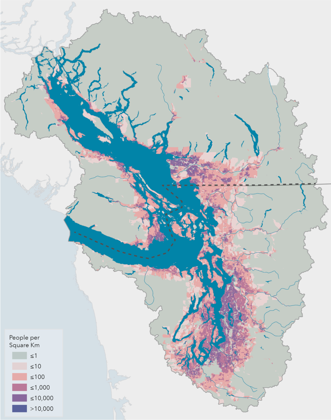
Flower, Aquila, "Salish Sea Population Density" (2021). Salish Sea Maps. 9.
Eurobird portal (120k volunteers; 105 species)
Oceanographic models span the Salish Sea, now with 3-day forecasts
e.g. LiveOcean (Univ. WA)

# Acartia
Community science evolving!
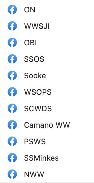
- Explosion of Facebook groups
- presence, group size
- individual IDs, tracks
- Mobile apps
- All species, birds, marine mammals, single species
- Increasingly AI-assisted
New views of
the ecosystem:


- Community science networks
- PSEMP monitoring & metrics
- Researchers (all species)
- Outreach/education
- Oil spill response
- Naval testing & training
- Managers & MMOs (dynamic)
- WA Dept. Fish & Wildlife
- Quiet Sound
- WA State Ferries
Many US end-users
Phase 1: Orca Network, Orcasound, PSEMP/MMWG
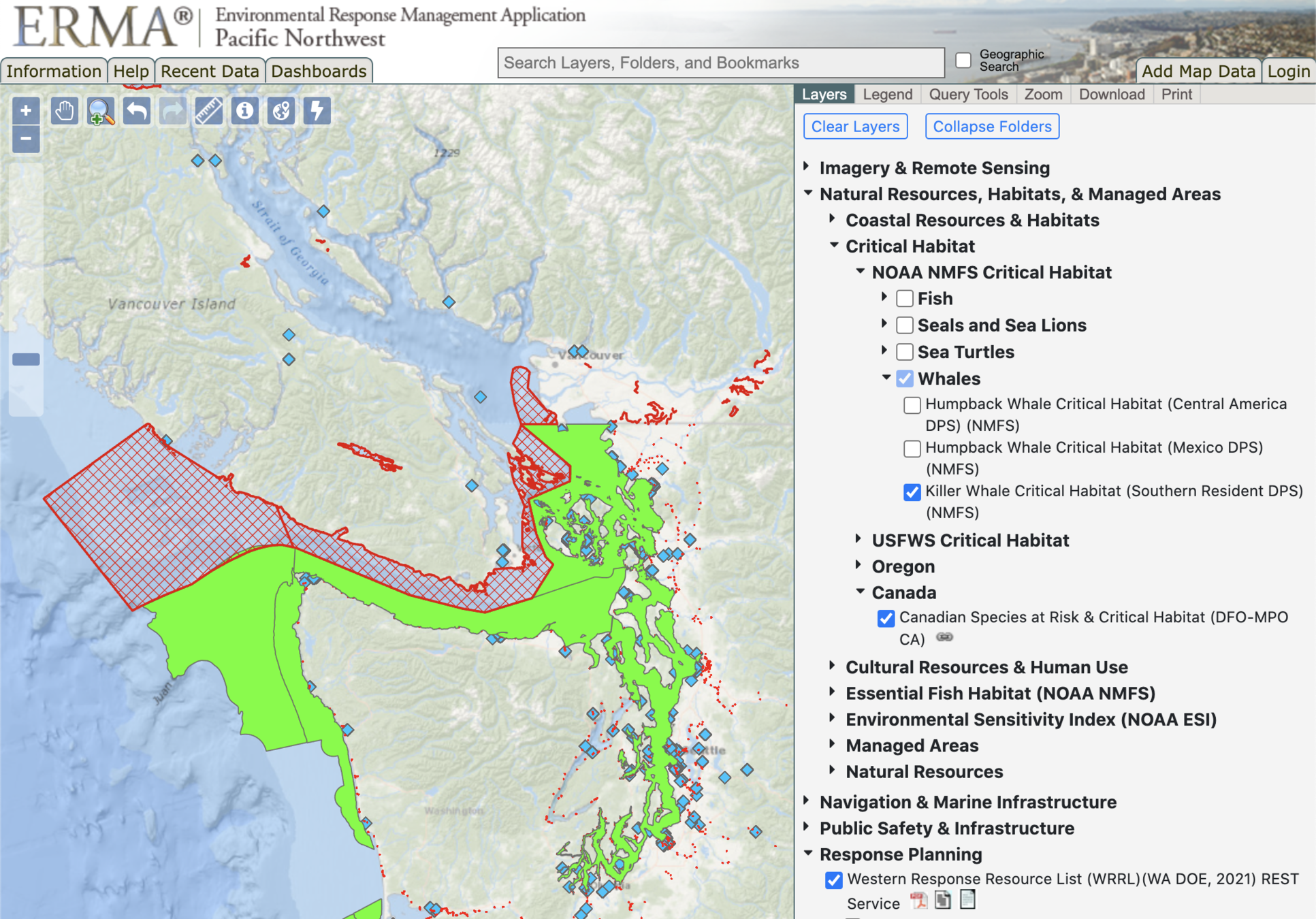
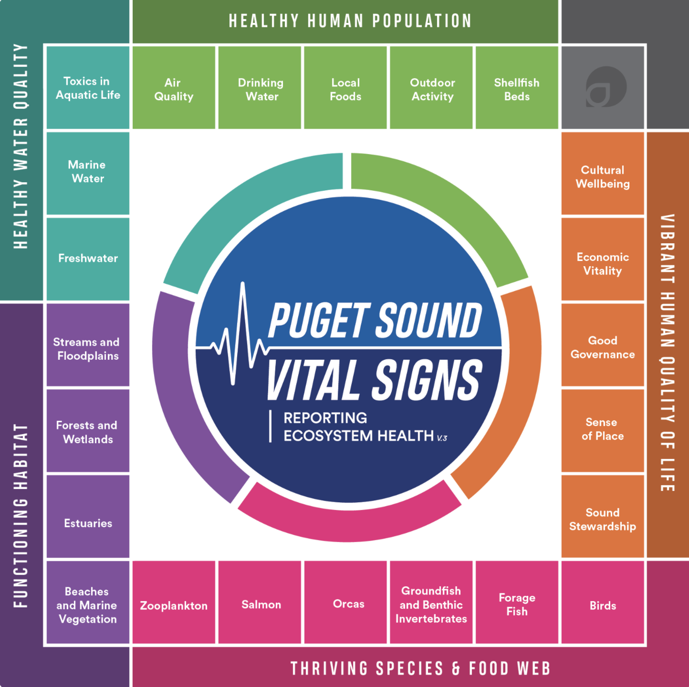
- Community science networks
- Researchers (all species)
- Outreach/education
- Managers & MMOs (dynamic)
- Forecast systems
- Whale Report Alert System (WRAS)
- Marine Mammal Desk
Many more end-users in Canada
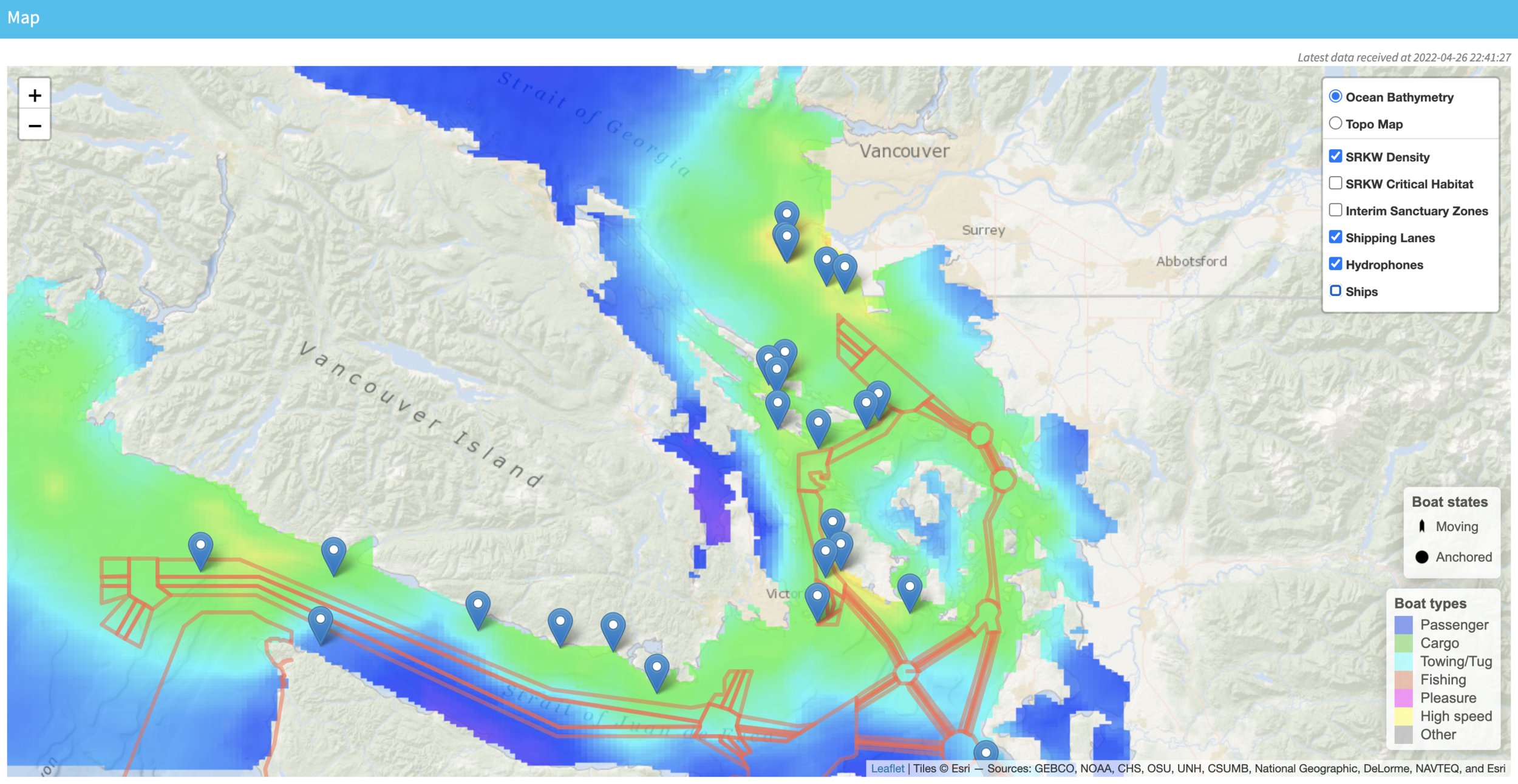
Ruth Joy & Marine Randon, SFU
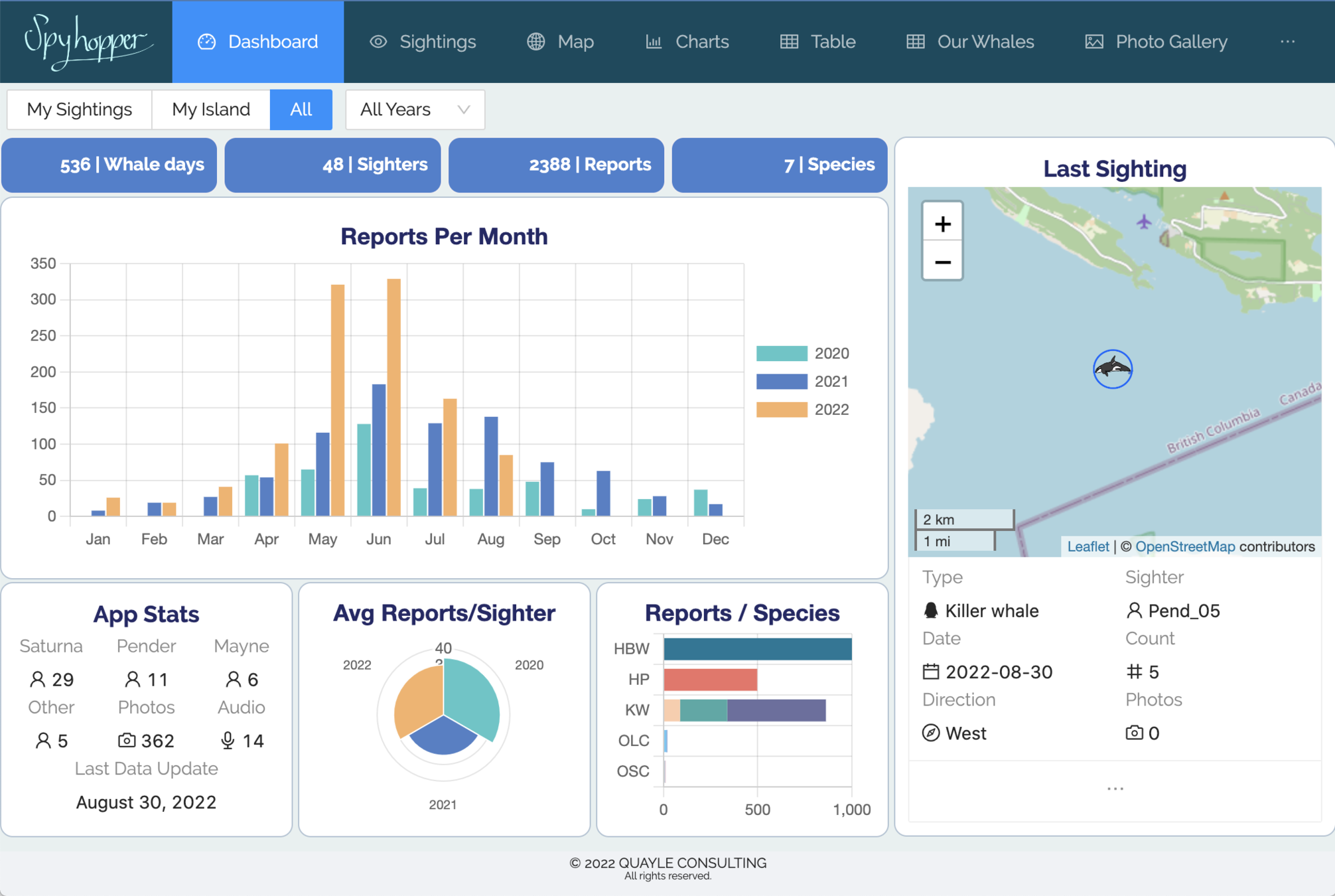
Quayle Consulting / SGIWSN
2017
Orcasound shifts to open source & open access data
2018
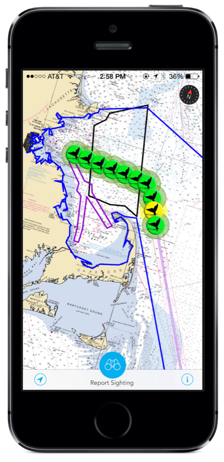
Whale Alert integrates visual and acoustic data for North Atlantic Right Whales on East Coast
2019
Resolve Conservation & Orca Network discuss new tech for democratizing data;
Proposal to PSEMP
2021
TypeHuman builds Acartia prototype integrating with Conserve.io apps;
Proposal to PSP
2020
Orca Network sees explosive growth in data sharing (movement on Facebook, not just presence)
2022
Beta-testing by Orcasound and Orca Network continues;
API documentation
This is just the beginning...
Proposed 3-phase process
Admiralty Inlet & south
- Orcasound (3 sites)
- Orca Network
- Whale Alert
1.
2.
Washington
- PSEMP MM+MB WG members + fish WGs?
- WDFW/NOAA archives
- You?
3.
Salish Sea + SRKW range?
- BC hydrophone network
- CA, OR, AK partners
- You?
# Acartia
You're invited!
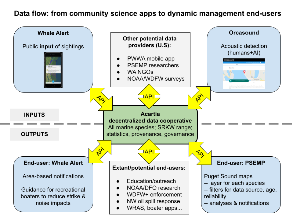
Phase 1 data flow
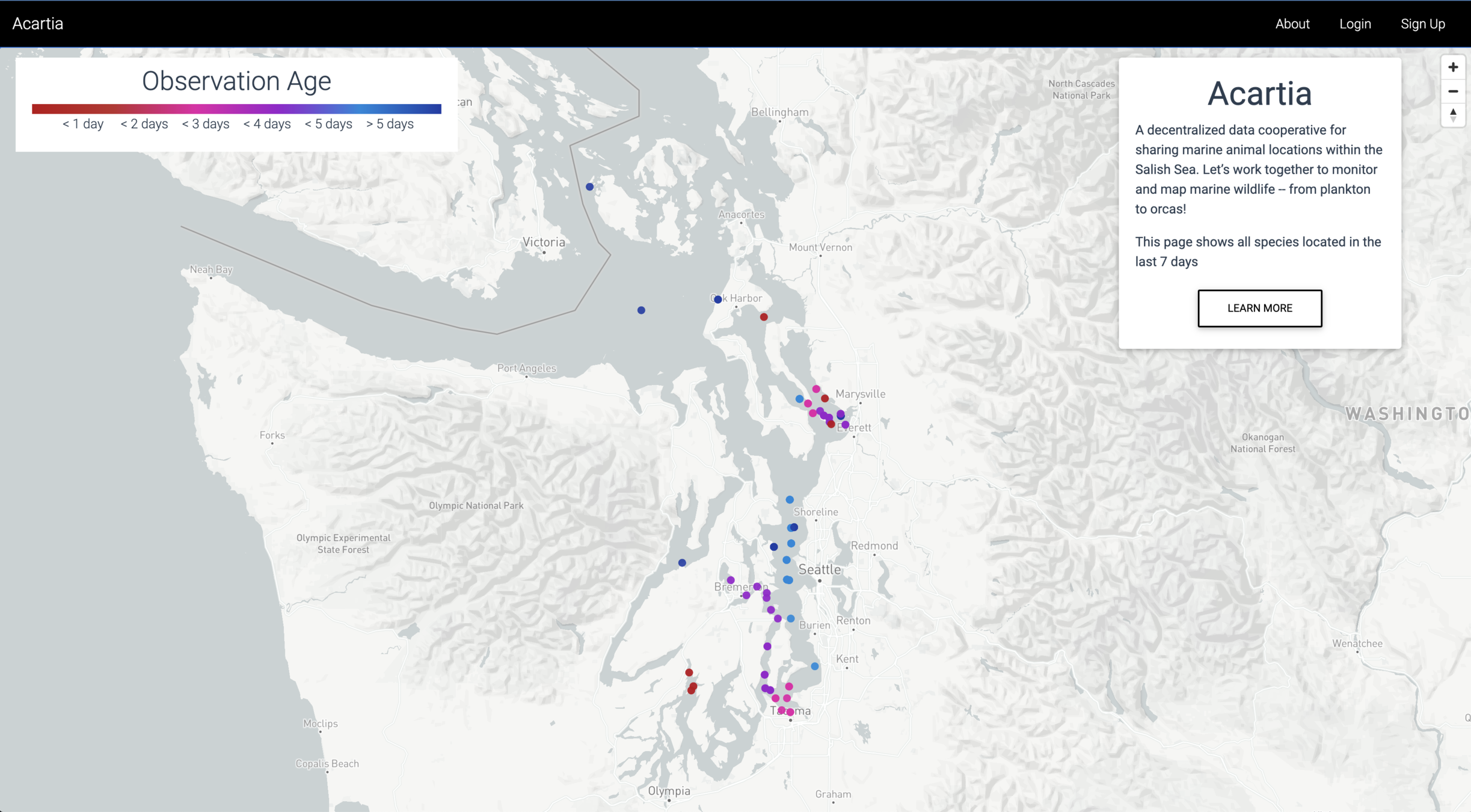
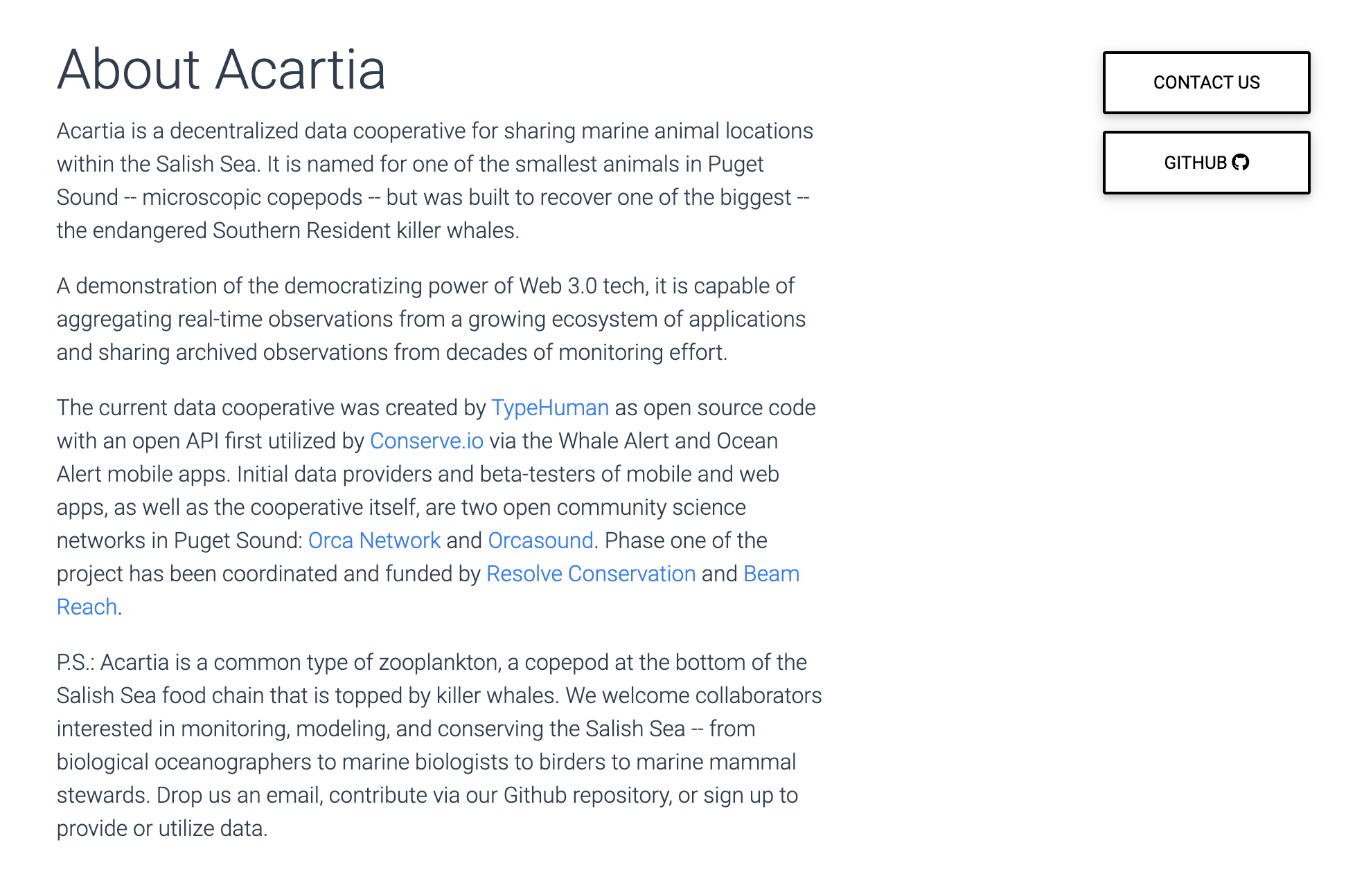
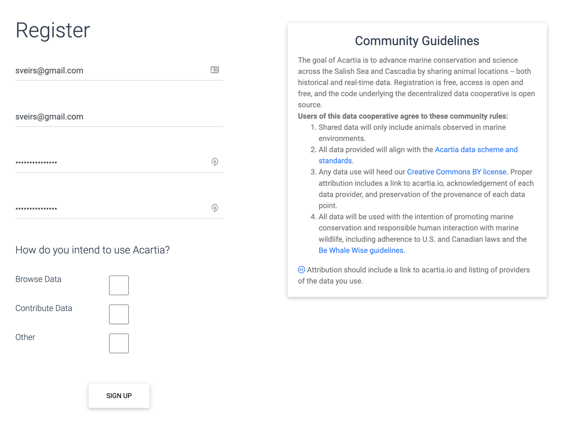
Acartia.io is now an operational prototype
<-- Provenance &
Governance -->
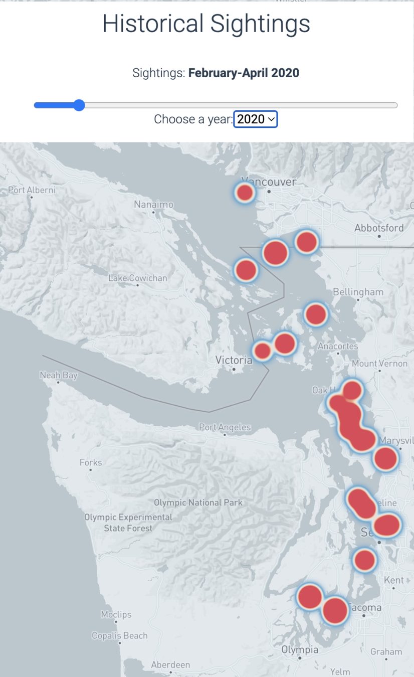
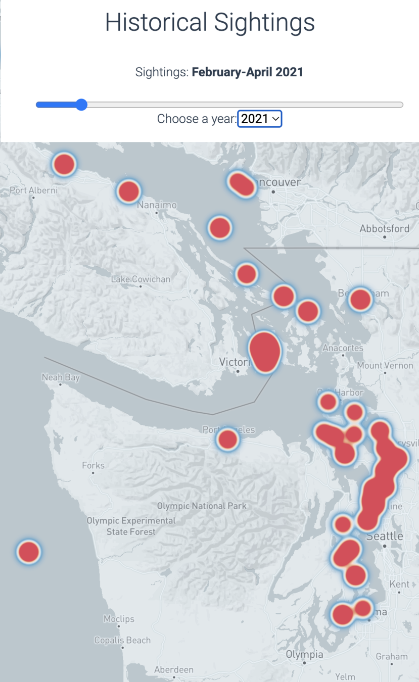
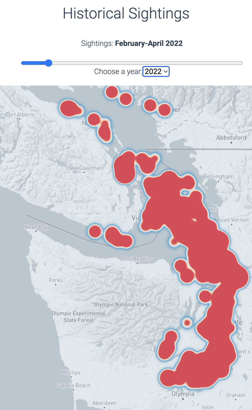
Acartia has preliminary data density views (rapid growth 2020-22)
Feb-Apr 2020
Feb-Apr 2021
Feb-Apr 2022
# Acartia
Tech Stack
Acartia is a demonstration of distributed (not centralized)
Web3 technologies:

Server-client model

Peer-to-peer model
+ IPFS PubSub
- Improve acoustic data pipeline
- Sep 19: Microsoft hackathon
- Broaden UX research
- Open source development
- 2022 GSoC projects!
- Dashboard study with BCHN
- Hackathons to pioneer new visualizations
- Partner with new data providers & end-users (YOU?)
On the horizon:

# Acartia
Discussion topics
- What new visualizations or tools using Acartia & other open data could improve your understanding of the Salish Sea?
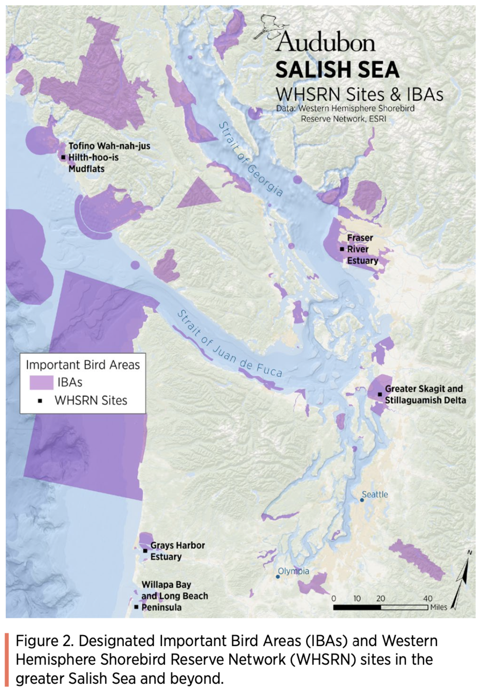
- What if we synchronized opportunistic marine mammal sighting networks w/annual bird surveys and/or WDFW flights?
- Why not organize transboundary community science effort surveys for marine mammals (IMMAs)?
- What sources of real time or archived data could be added in future phases (for all species)?
