
To support the use of geospatial technologies in research and teaching at Stanford
(whatever that means at any given time)
- Instruction
- Infrastructure & Collections
- Consulting
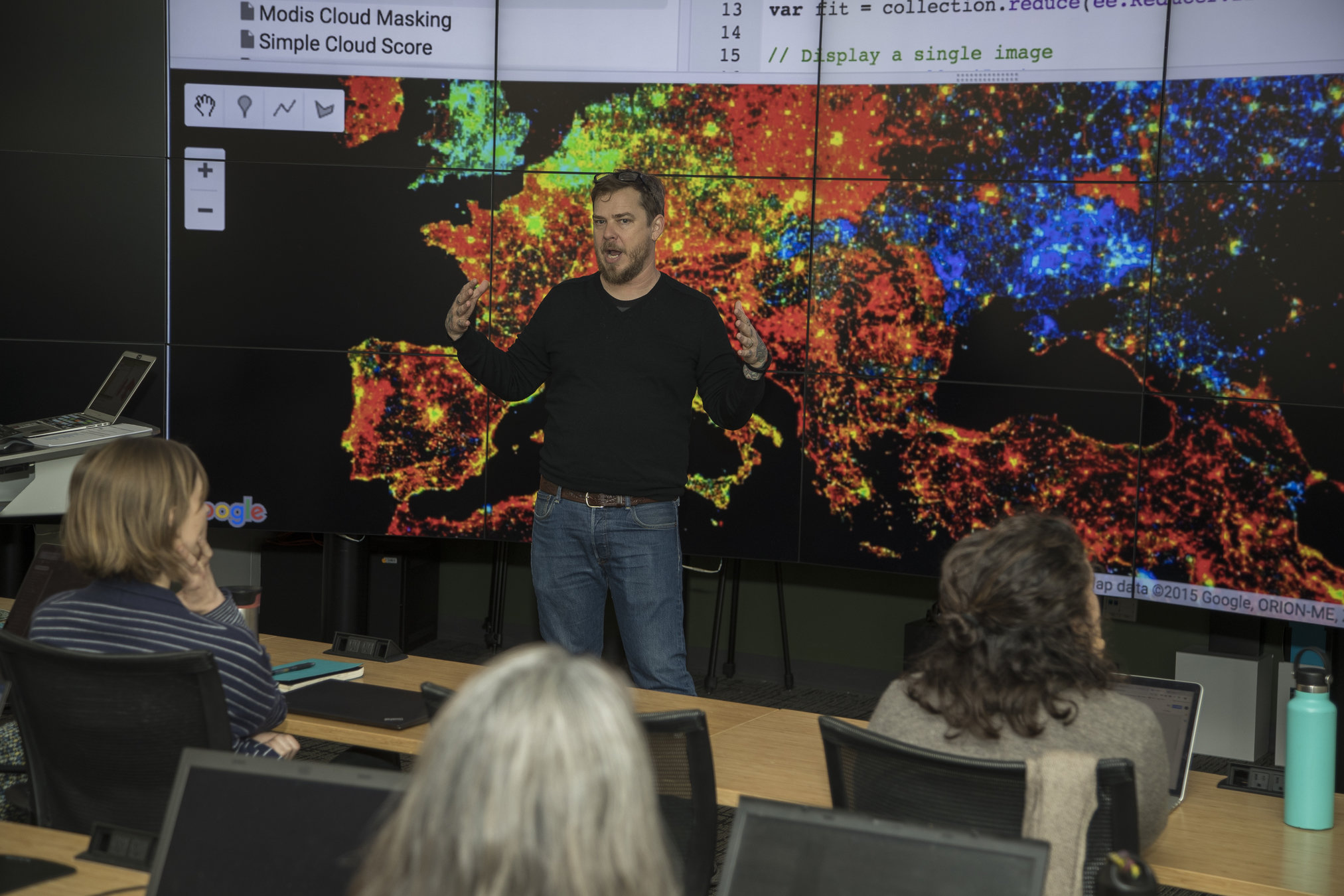

Infrastructure & Collections
-
Software provision, licensing & support
- ArcGIS
- ArcGIS.com
- QGIS
- CARTO.com
- MapBox.com
- Google Earth Engine
- locator.stanford.edu
- earthworks.stanford.edu
- Planet.com
Why in a library?
Librarians are data experts.
Curation
Preservation
Discovery
Distribution
Support
Ensuring ROI on our data investments
The Library is discipline agnostic
Opportunities for interdisciplinary
cross-pollination
locator.stanford.edu
- ~2 million records per hour
- North America & Brazil
- Street Addresses
- Postal Codes
- Placenames
- Global Placenames (in development)
- Compatible with:
- Esri software
- R
- OpenRefine
- REST & SOAP API endpoints
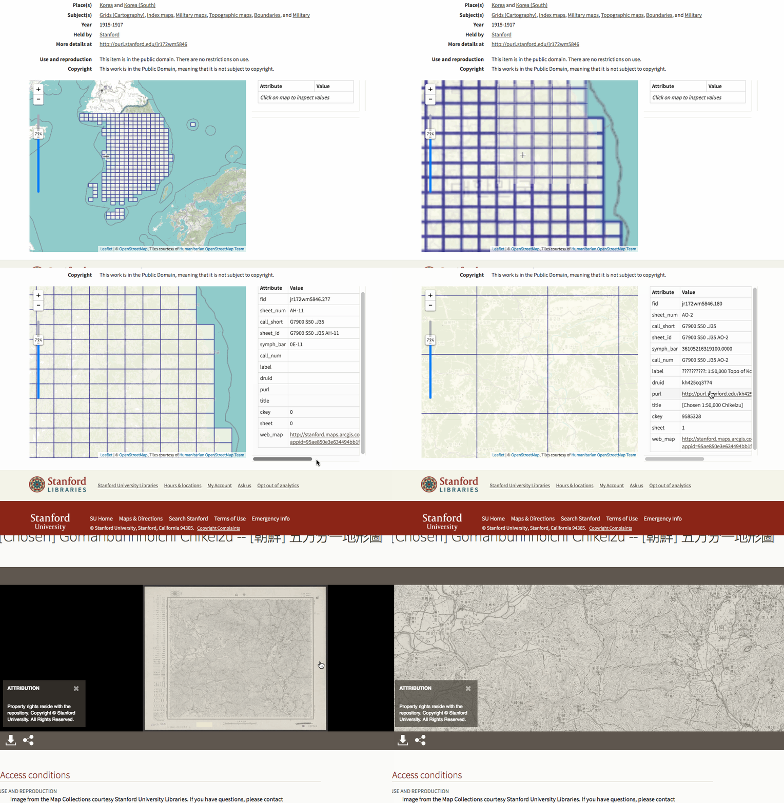
earthworks.stanford.edu
spatial data is different
it's difficult to find
it's difficult to evaluate
it's difficult to access
it's difficult to archive
the Stanford Digital Repository treats our spatial data holdings as durable assets.
the Stanford Spatial Data Infrastructure (SSDI) exposes the live OGC spatial data services that power Earthworks functionality
(WFS, WMS, etc...)




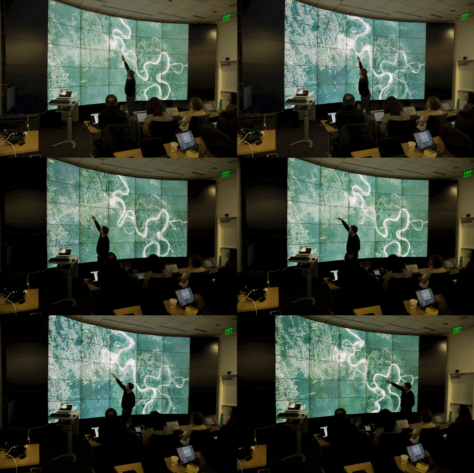
Planet.com
- 300TB per year (600m sqkm)
- 3m pixel resolution
- RGB/NIR
- Daily Cadence
- PlanetScope Imagery
- Monthly/Quarterly Composite Basemaps (unmetered)
- Analysis Mosaics
- EDU Rights:
- Retain
- Redistribute
- Redownload


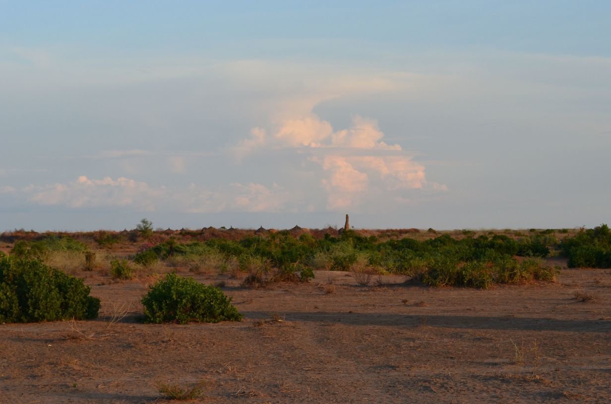


https://tasks.hotosm.org/


http://foundation.digitalglobe.com/


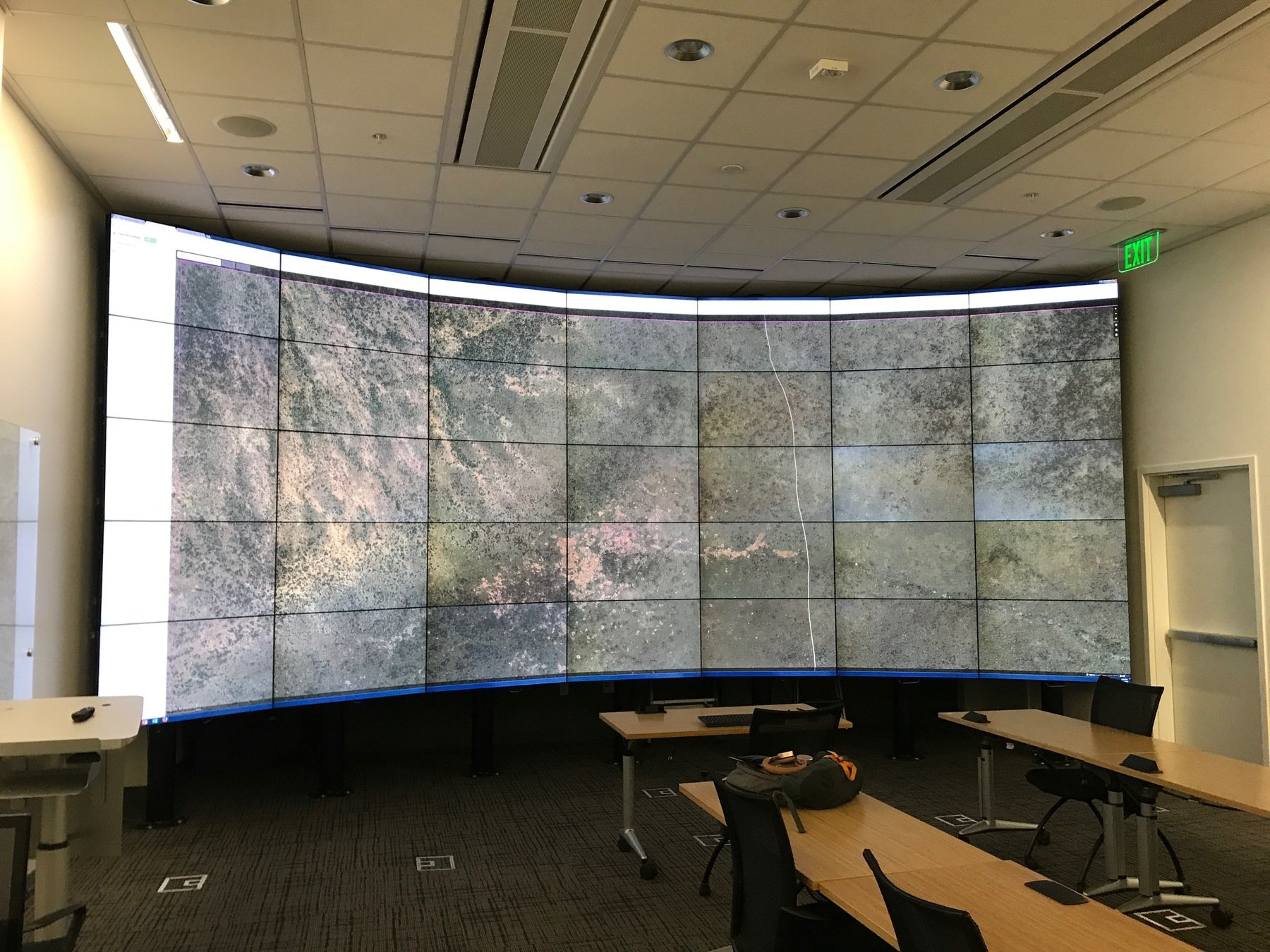
https://icme.stanford.edu/resources/hive

HIVE
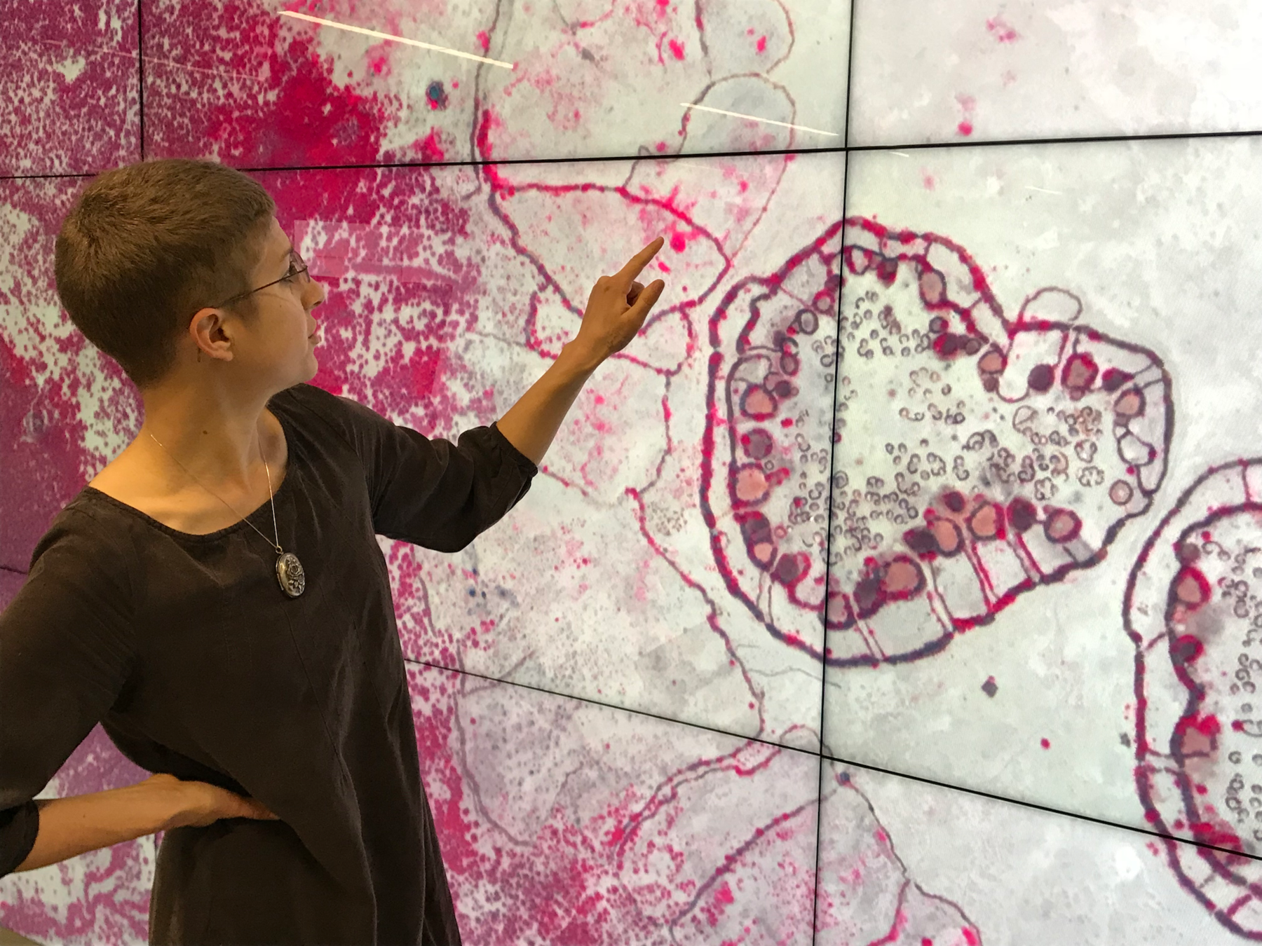
13440 x 5400 x .53m pixels
=
20 sq km
Typical Monitor
1440 x 900 x .53m pixels
=
.7 sq km

Or,...
250 shift+arrow pans vs. 7000+
~ 6 hrs

Outcomes
- 5,000+ sq km
- 225 settlements
- only 2 abandoned by arrival


Let's Play with Spatial Data!
Show&Tell!
Explore OpenStreetMap.org

Create an OSM Account

Practice Editing with iD Editor

Don't Forget to Save!

https://tasks.hotosm.org/
you will login with your OpenStreetMap.org credentials

Choose an HOTOSM Project

Read the Description/Instructions

Select a Task


Select a Task


Start Mapping!

Things to Remember:
- Focus on the requested task
- Save changesets every dozen or so edits
- When you are done, return to the HOT Task Manager and unlock or mark the task finished.
- There are no minimums! All contributions are useful!
Links for more!
- stanford.maps.arcgis.com - Use you Stanford SUNetID to login with Enterprise. Full featured GIS, in the cloud.
- mapschool.io - A quick introduction to the way maps work on the internet.
- gis.stanford.edu - Our website for more Stanford resources!
