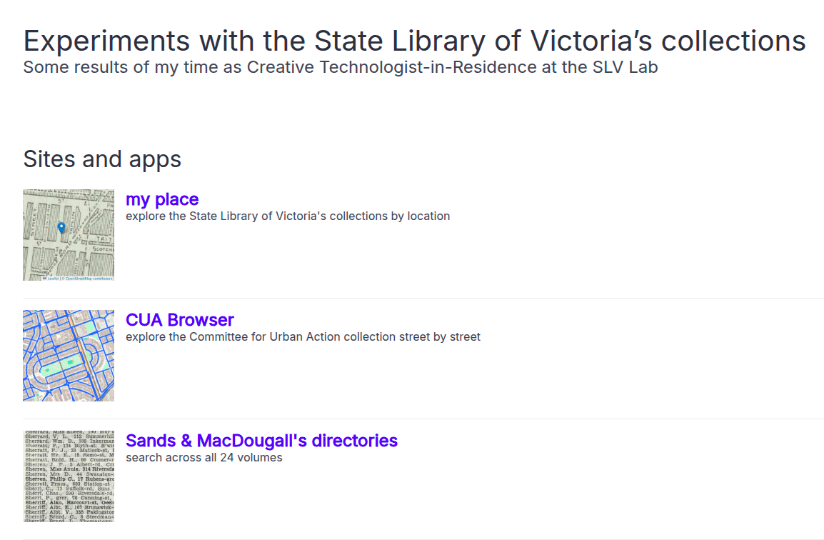
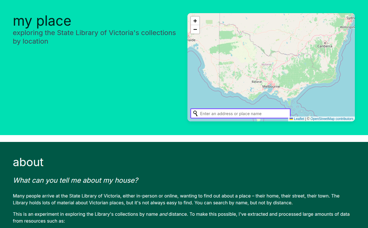
my place
exploring the Library's place-based collections
why bother?
the challenge

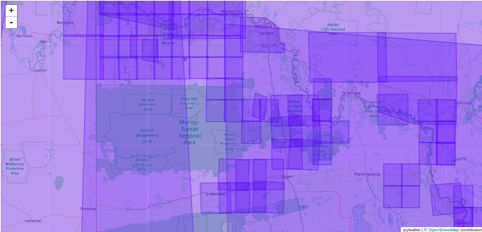
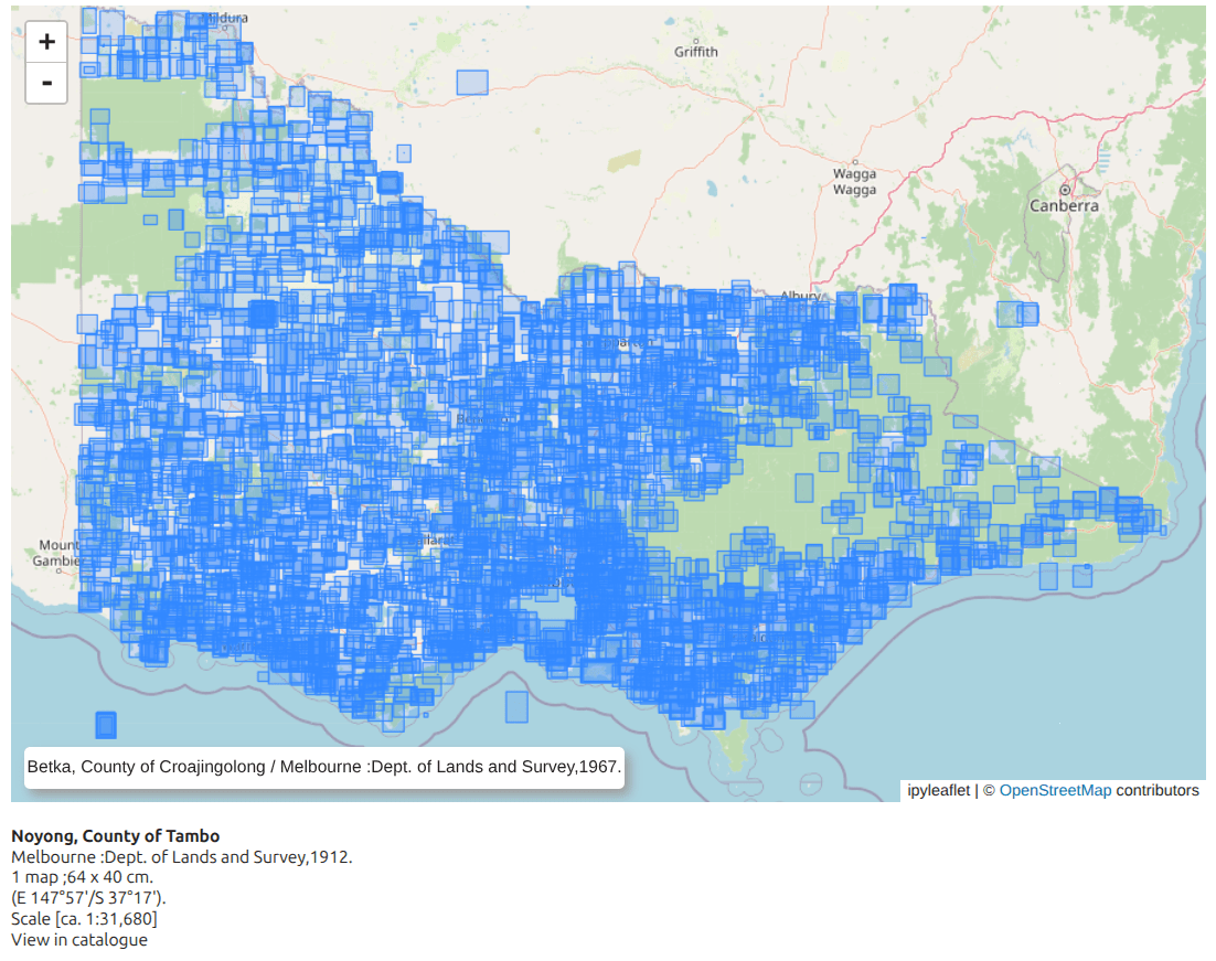
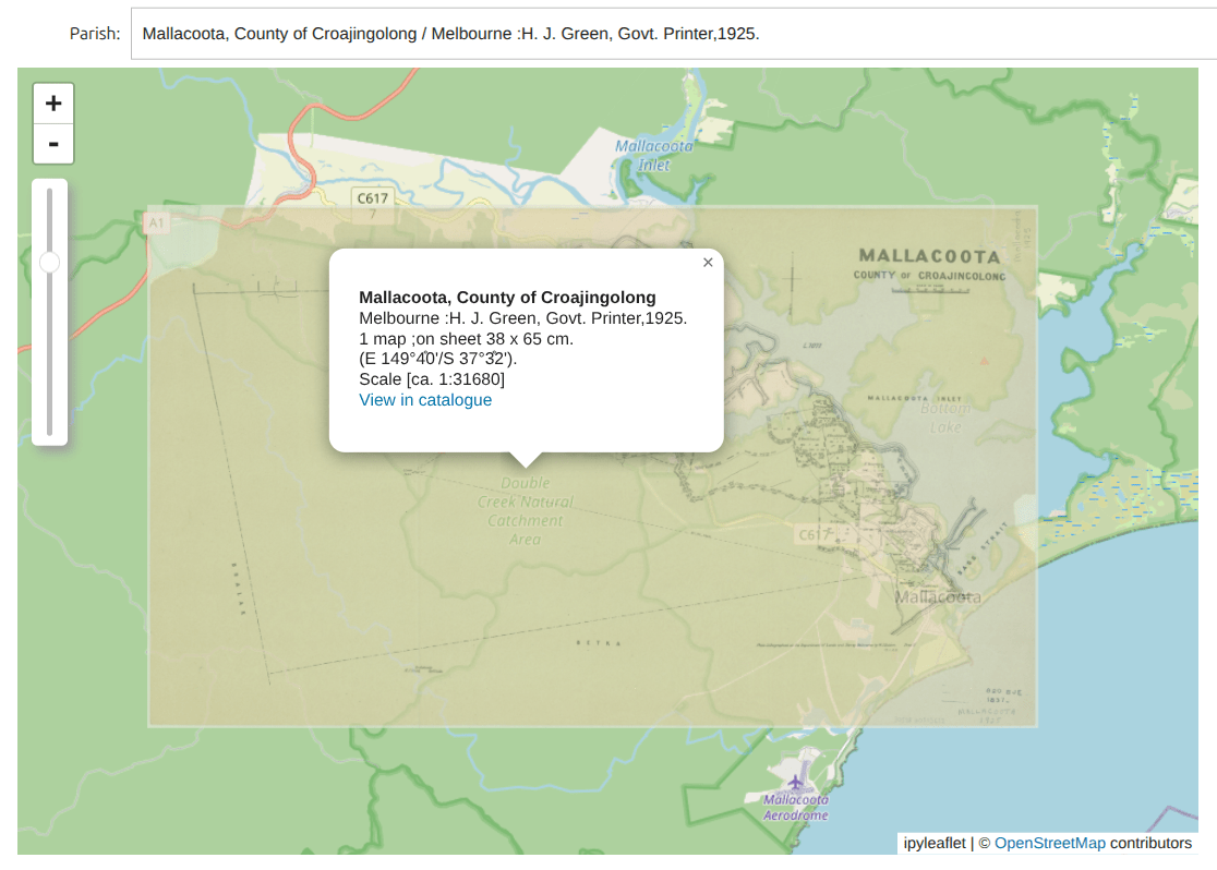
parish maps
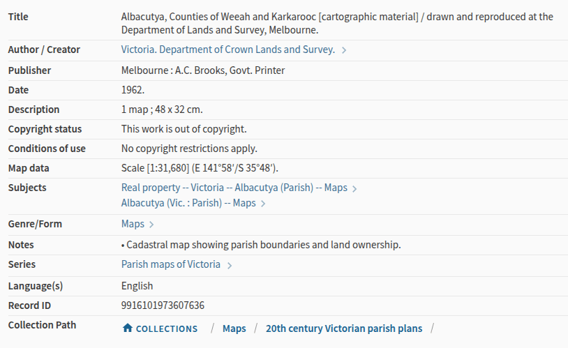
size
scale & coords
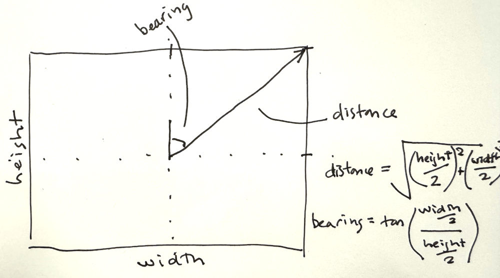
mix metadata with some high-school maths
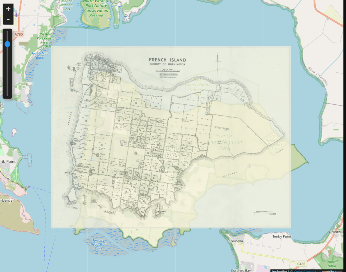
looks familiar?
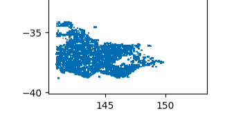
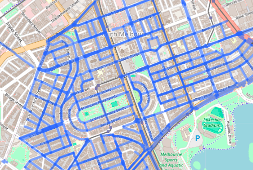
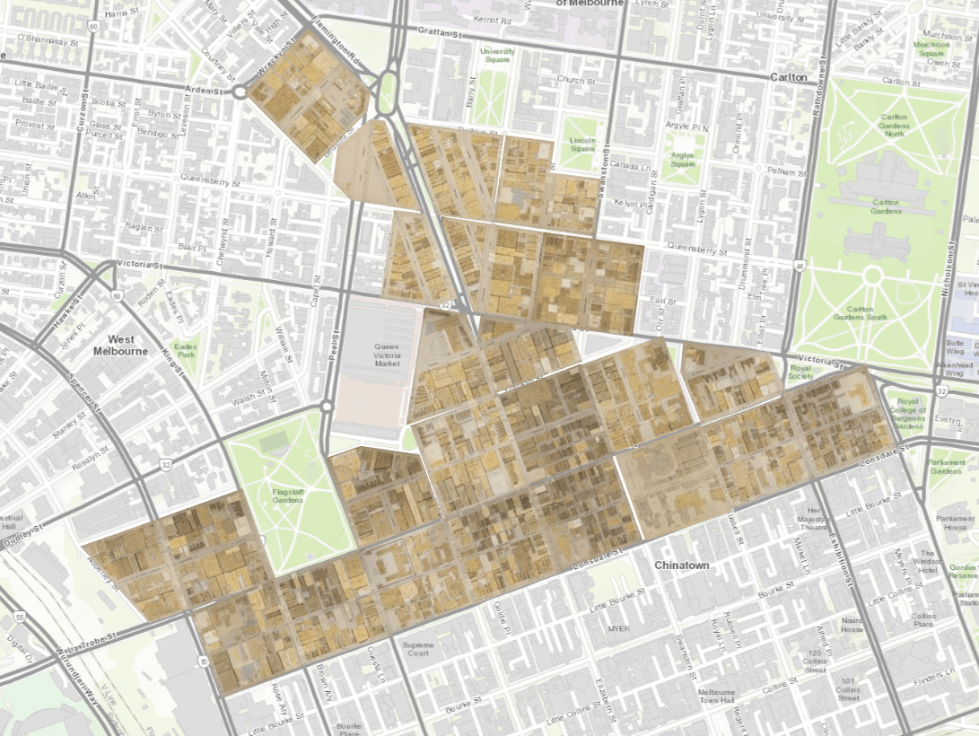
all the maps!
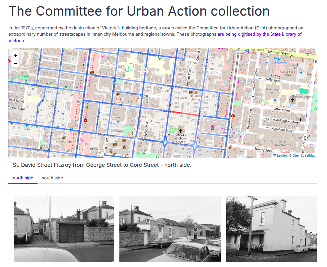
Committee for Urban Action collection
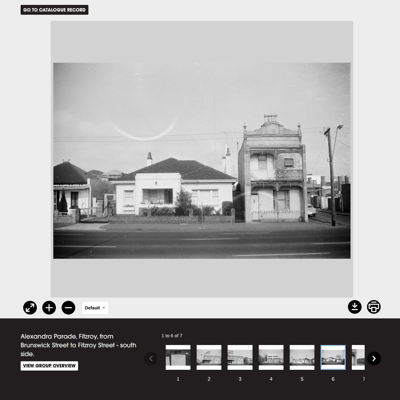
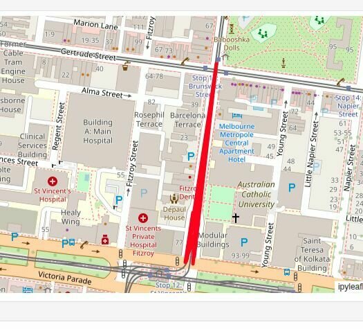
Alexandra Parade, Fitzroy,
from Brunswick Street to Fitzroy Street
- south side.
street
suburb
intersections
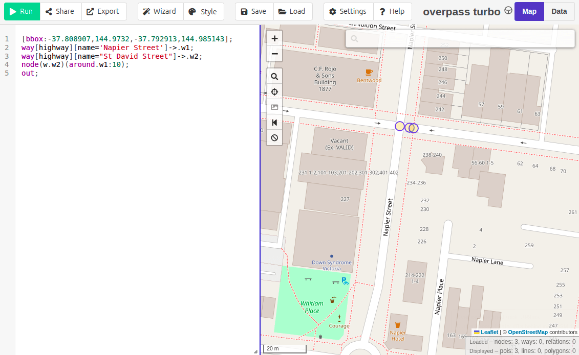
OpenStreetMap API
getting closer...
1
2
4
3
Bell Street, between Fisher Lane and Fitzroy Street

Intersection of Mills Road and Binghams Road, Harcourt

Ivan Street, Fitzroy, from Park Street to end
17,809 photos
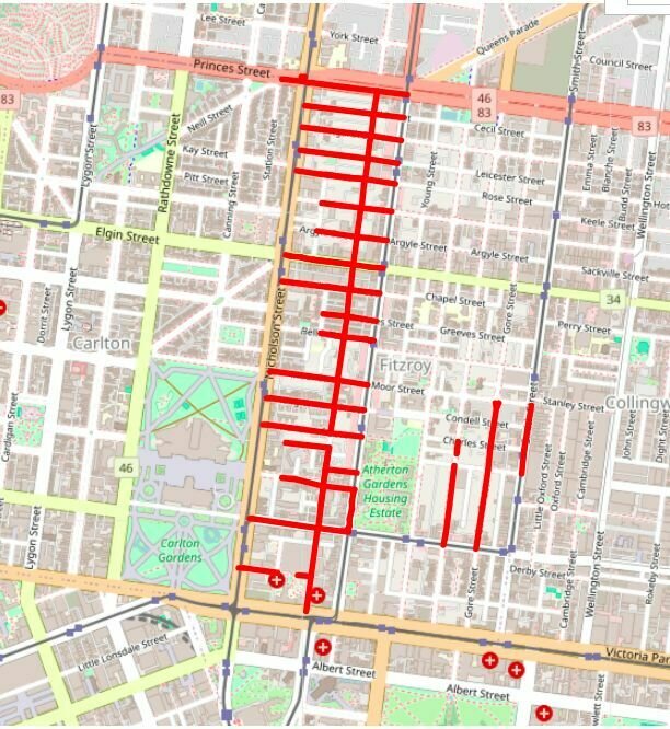
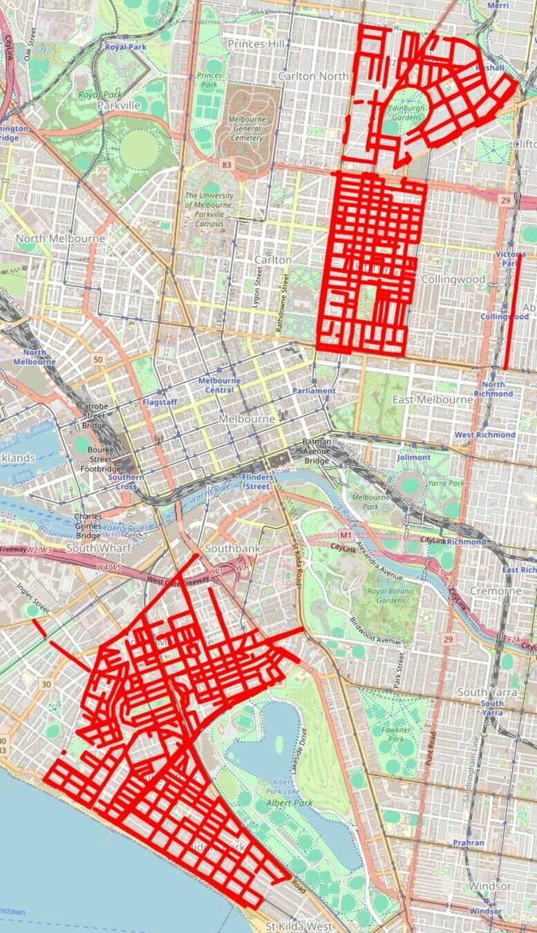
1,598 sections of road
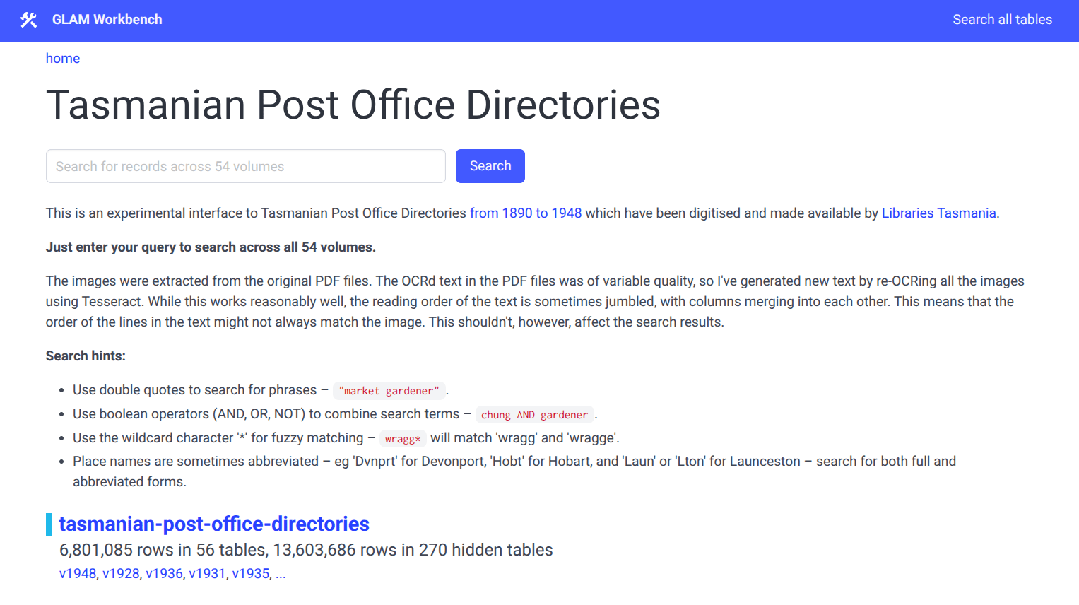
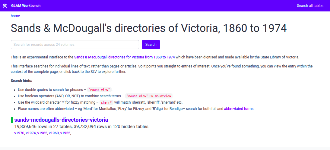
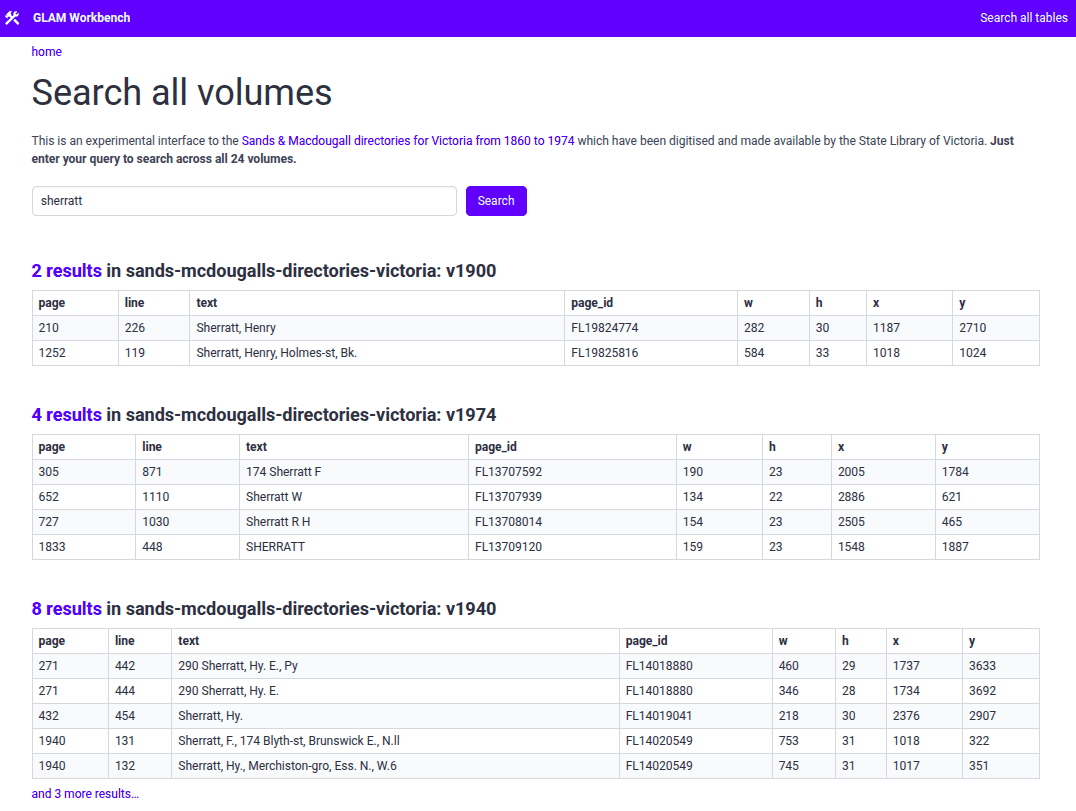
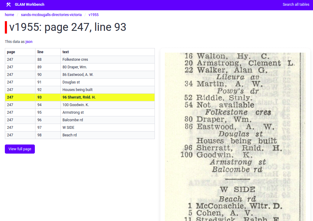
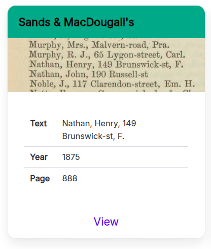
Sands & MacDougall's directories
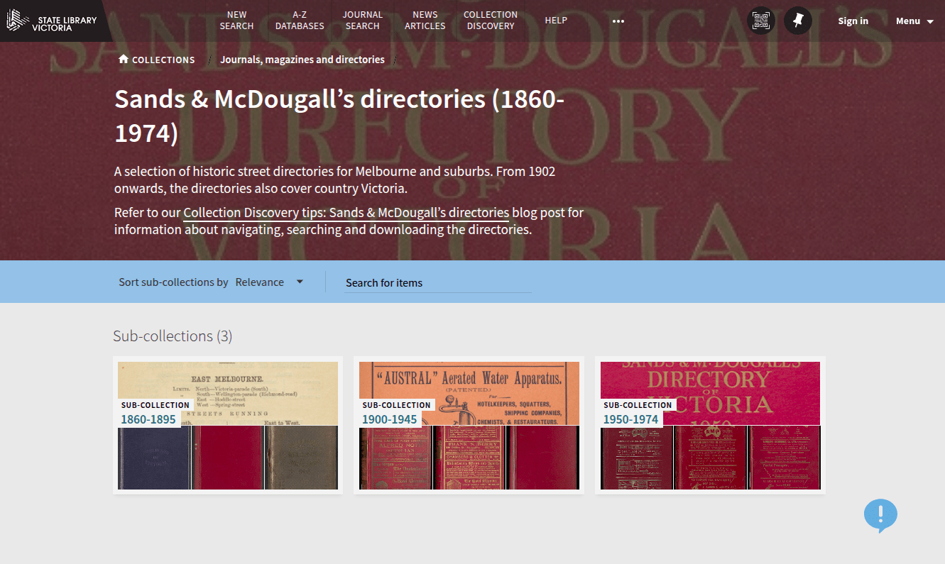
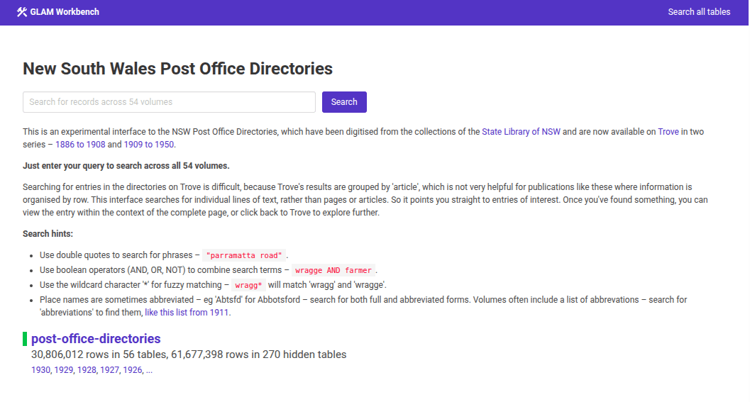

152 volumes
newspapers
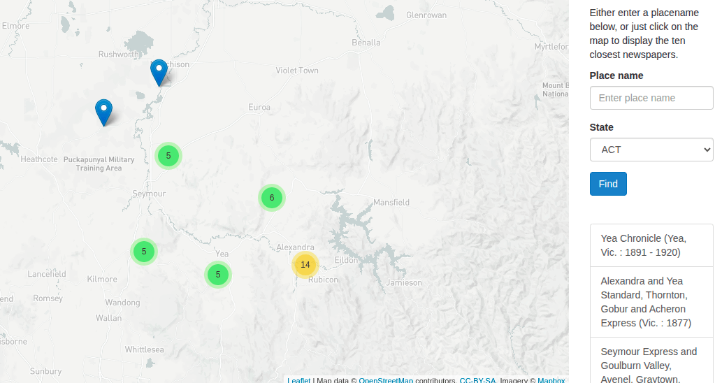
Trove Places (circa 2014)
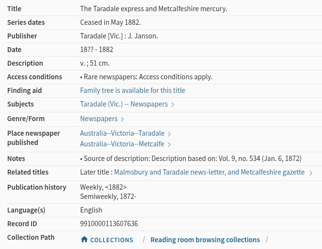
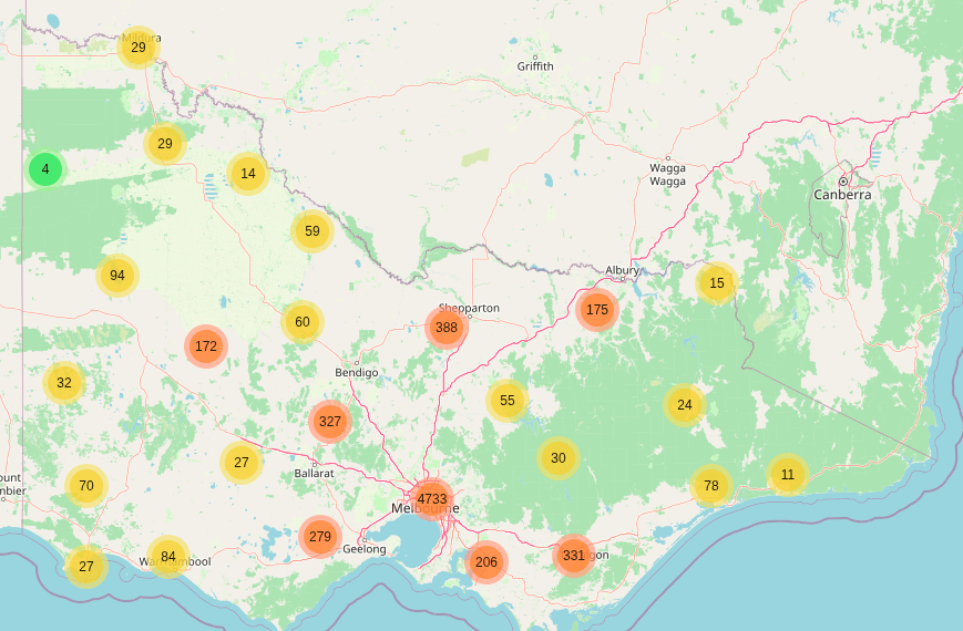
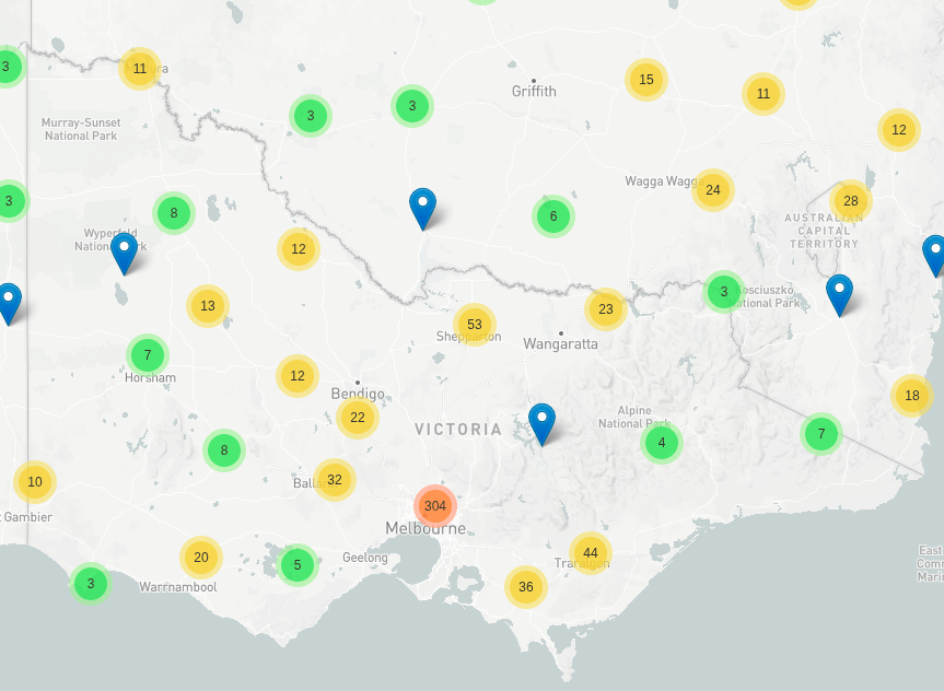
4,028 titles
836 places
then
now
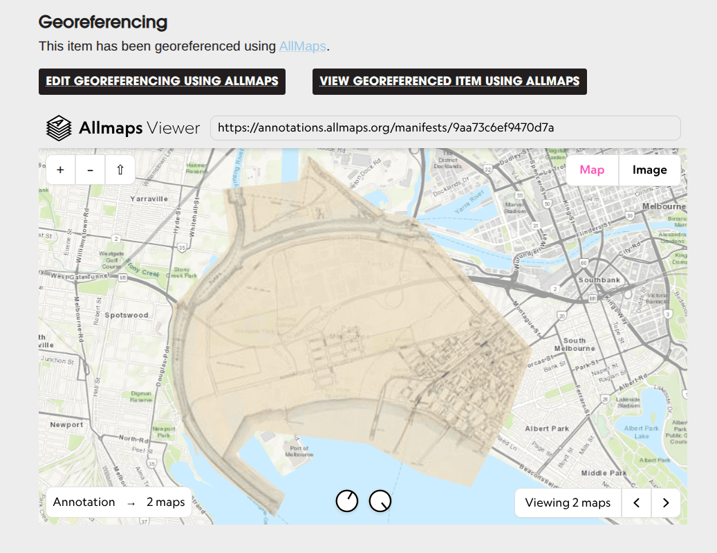
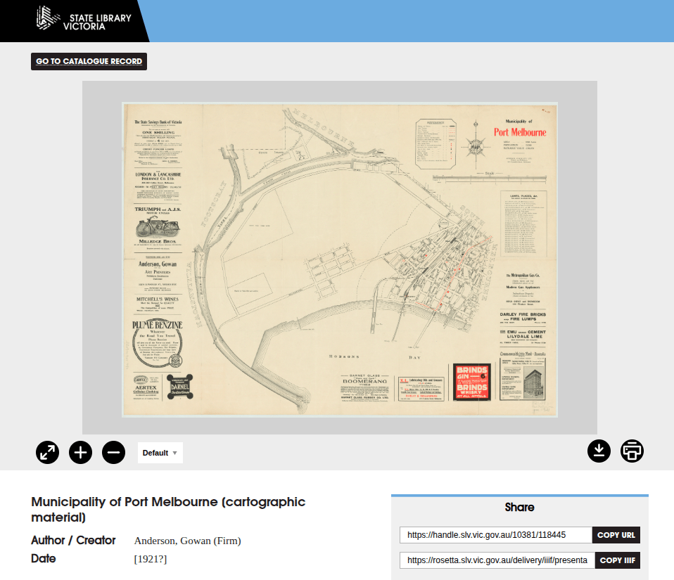
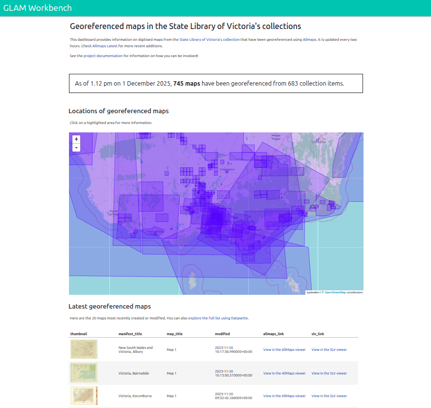
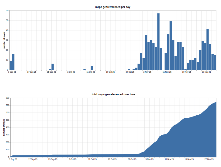
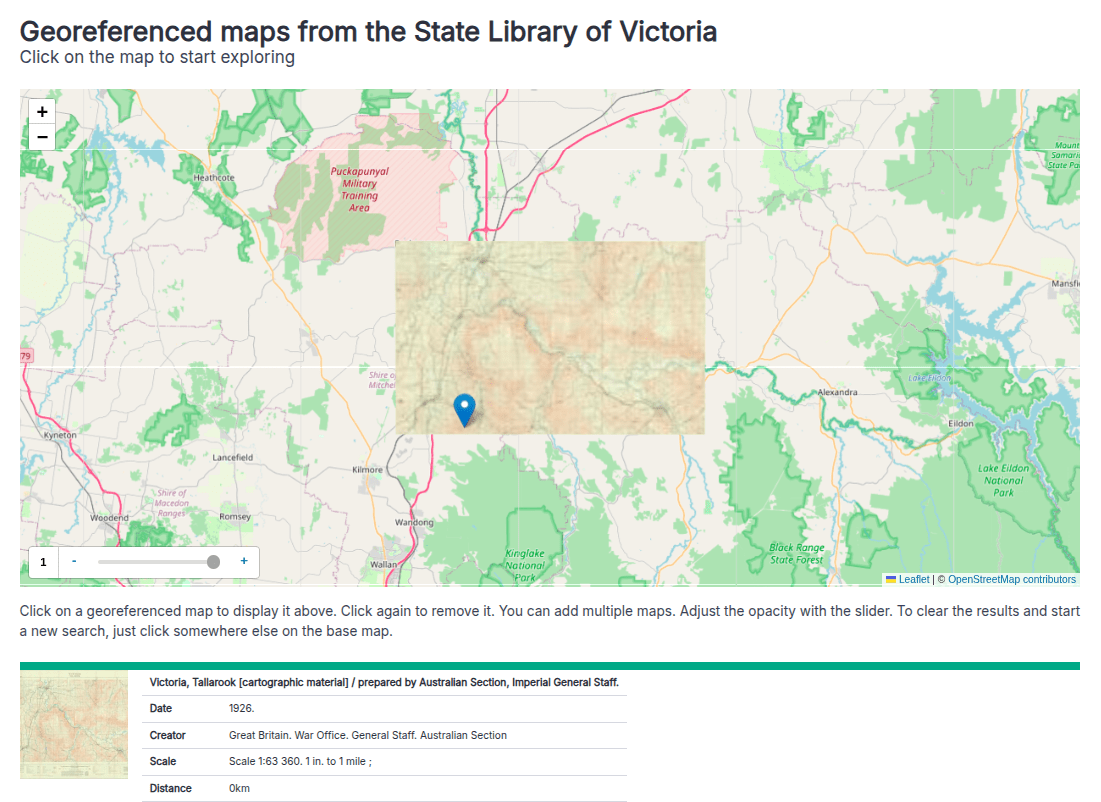
georeferenced maps
added by userscript
my place
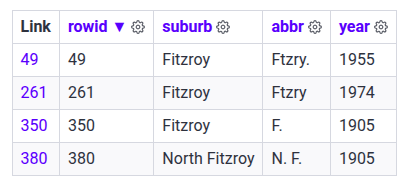
abbreviations
image snippets!
what's next?
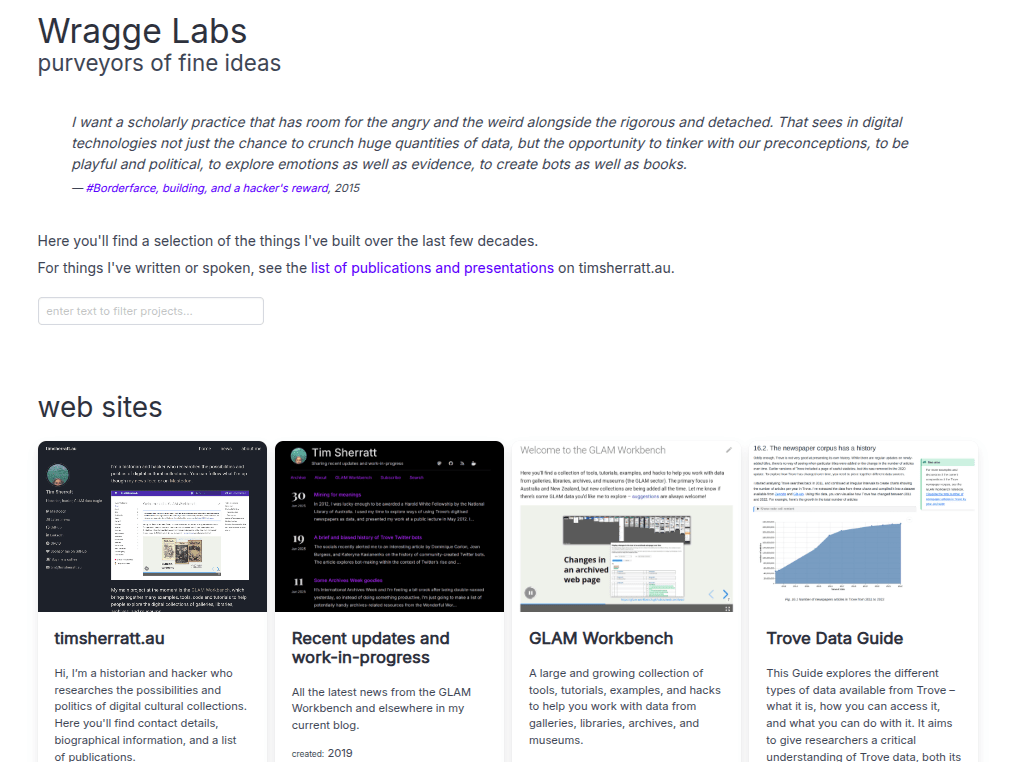
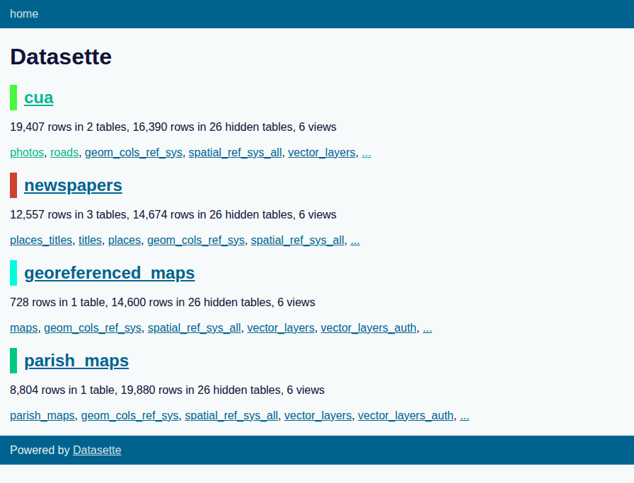
my SLV experiments: https://slv.wraggelabs.com
SLV Lab: https://lab.slv.vic.gov.au
my blog: https://updates.timsherratt.org