Kartographie
Mit Karten Geschichte schreiben

Meine Lieblingskarte

Ist das eine Karte?
Vorstellungsrunde
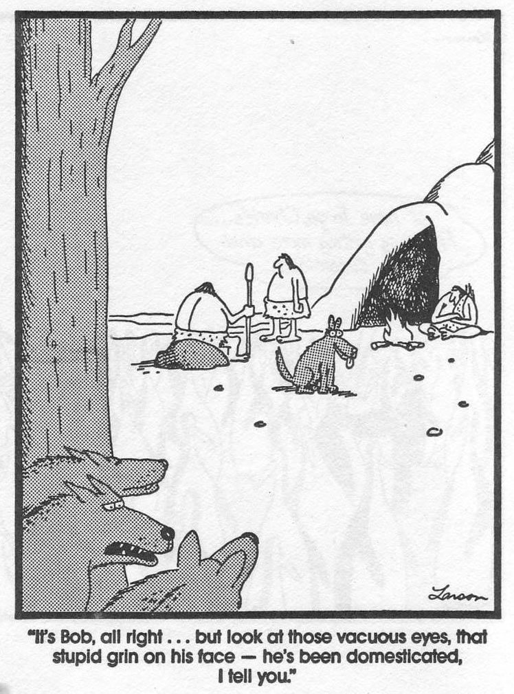
Larson, G. (2003): The complete Far side, Kansas City: Andrews McMeel, Seite 643, 30.12.1986.
- Name
- Studienfächer, Schwerpunkte
- Semester
- Ein (oder zwei) Sätze zum Stichwort: Karten
Ist das eine Karte?
Definition: Karte (ICA)
"A map is a symbolised representation of geographical reality, representing selected features or characteristics, resulting from the creative effort of its author’s execution of choices, and is designed for use when spatial relationships are of primary relevance."
International Cartographic Association (ICA) (11.02.2021).

Hennig, B. (2020): Views of the World.
"A map is a symbolised representation of geographical reality, representing selected features or characteristics, resulting from the creative effort of its author’s execution of choices, and is designed for use when spatial relationships are of primary relevance."
International Cartographic Association (ICA) (11.02.2021).
Definition: Karte (Harley/Woodward)
"Maps are graphic representations that facilitate a spatial understanding of things, concepts, conditions, processes, or events in the human world."
Harley, J.B.; Woodward, D. (1987): The History of Cartography, Chicago, XVI.
Definition: Karte
"Maps are graphic representations that facilitate a spatial understanding of things, concepts, conditions, processes, or events in the human world."
Harley, J.B.; Woodward, D. (1987): The History of Cartography, Chicago, XVI.
"Karten sind graphische Darstellungen, die ein räumliches Verstehen der Welt, von Dingen, Vorstellungen, Prozessen und Ereignissen in der Welt ermöglichen bzw. erleichtern."
Übersetzung der Harley/Woodward-Definition nach Oswalt, V. (2015): Weltkarten - Weltbilder. Zehn Schlüsseldokumente der Globalgeschichte. Stuttgart: Reclam.
"A map is a symbolised representation of geographical reality, representing selected features or characteristics, resulting from the creative effort of its author’s execution of choices, and is designed for use when spatial relationships are of primary relevance."
International Cartographic Association (ICA) (11.02.2021).
Ist das eine Karte?
"Karten sind graphische Darstellungen, die ein räumliches Verstehen der Welt, von Dingen, Vorstellungen, Prozessen und Ereignissen in der Welt ermöglichen bzw. erleichtern."
Übersetzung der Harley/Woodward-Definition nach Oswalt, V. (2015): Weltkarten - Weltbilder. Zehn Schlüsseldokumente der Globalgeschichte. Stuttgart: Reclam.
Meine Lieblingskarte
Dufourkarte, 1845–1865

Administratives
Daten:
25.02.2021
04.03.2021
11.03.2021
18.03.2021
25.03.2021
01.04.2021
Ostern
15.04.2021
22.04.2021
29.04.2021
06.05.2021
Auffahrt
20.05.2021
27.05.2021
03.06.2021
- donnerstags, 12–14 Uhr
- zoom-Meeting / Mit43 Raum 016
- Aufbau: 1 Lektion Plenum, 1 Lektion EA/GA
- ECTS: 3 (entspricht 75–90 Arbeitsstunden: 20 h Anwesenheitspflicht, pro Woche 3 h HA = 39 h, 16 h fürs eigene Kartenprojekt)
- wenn verhindert, bitte möglichst frühzeitig Bescheid geben (susanne.rutishauser@iaw.unibe.ch)
Lernziele
- Die Studierenden kennen Grundbegriffe der Kartographie (Massstab, Legende, Signatur, Breiten- und Längenkreise, Äquator, Nullmeridian, Kartennetzentwürfe, Ellipsoid, Geoid, Gitternetz, Gradnetz Höhenmodell, Generalisierung, topographische Karte, thematische Karte) und können diese mit eigenen Worten erklären.
- Die Studierenden können fünf wichtige Karten der Geschichte der Kartographie aufzählen und anhand derer die Debatte der kritischen Kartographie erläutern.
Die Studierenden können anhand konkreter Beispiele Möglichkeiten und Grenzen verschiedene kartographischer Darstellungsformen erläutern. - Die Studierenden können selbstständig eine kartographische Darstellungsform basierend auf archäologischen Daten entwickeln, umsetzen und publizieren.
- Die Studierenden wissen, wo kartographische Grundlagedaten zu finden und wie diese zu zitieren sind.
- Die Studierenden können die eigenen Datensätze und Karten mit Metadaten versehen und diese publizieren.
Lernziele (Studierende)
- eigene Karten zeichnen können (mit Hilfe eines Skripts)
- wissen, was eine gute Karte ausmacht
- Überblick über verschiedene digitale Kartenerstellungsprogramme erhalten
- Geschichte der Kartographie und Vermessungstechnik
- Was bedeutet Kartographie für die Archäologie?
Bewertung
- regelmässige Teilnahme und pünktliche Abgaben (10%)
- Kurzvortrag mit Handout (20%)
- Kurzvortrag (10%)
- Wiki-Eintrag zu einer bedeutenden Karte (20%)
- eigene Kartenprojekte (40%)
Ilias

Karten lesen (lernen)


Karten lesen (lernen)
- Notationssystem kennen
- Legende
- Massstab
- Topographische Karte: Höhenlinien


Was macht eine gute Karte aus?
- Fragestellung
- Zielpublikum


Forlanini, M. (2013): How to infer ancient roads and itineraries from heterogeneous Hittite texts. Rivista di storia, ambienti e culture del Vicino Oriente Antico, 1–34.

Cilician Chronology Group (2017): A comparative stratigraphy of Cilicia. Result of the first three cilician chronology workshops, Altorientalische Forschungen 2, 150–186, Fig. 8.

Cilician Chronology Group (2017): A comparative stratigraphy of Cilicia. Result of the first three cilician chronology workshops, Altorientalische Forschungen 2, 150–186, Fig 6.
Ur, J. (2012): “Landscapes of Movement in the Ancient Near East.” In Proceedings of the 7th International Congress on the Archaeology of the Ancient Near East. 12 April - 16 April 2010, the British Museum and UCL, London, edited by R. Matthews, Wiesbaden. Harrassowitz.521–538, Fig 9.1.


Wilkinson, T.J. 2003. Archaeological landscapes of the Near East. Tucson (Ariz.): The University of Arizona Press, Fig. 5.11.
Merkmale einer guten Karten
- Kontrastreiche Farben verwenden (keine helle Schrift auf hellem Grund)
- Legende
- Massstab, Nordpfeil
- Data-Ink Ratio
Atlas für Neugierige


Wright, I. (2020): Der Atlas für Neugierige. Kuriose Karten, die Ihre Sicht auf die Welt verändern. München: Blanvalet.

Atlas für Neugierige

Wright, I. (2020): Der Atlas für Neugierige. Kuriose Karten, die Ihre Sicht auf die Welt verändern. München: Blanvalet.
Atlas für Neugierige


Wright, I. (2020): Der Atlas für Neugierige. Kuriose Karten, die Ihre Sicht auf die Welt verändern. München: Blanvalet.
Atlas für Neugierige


Wright, I. (2020): Der Atlas für Neugierige. Kuriose Karten, die Ihre Sicht auf die Welt verändern. München: Blanvalet.
Wright, I. (2020): Der Atlas für Neugierige. Kuriose Karten, die Ihre Sicht auf die Welt verändern. München: Blanvalet.
Atlas für Neugierige


Atlas der Antike für Neugierige
Im Rahmen der Übung eigene Karte(n) erstellen nach dem Vorbild "Ein Atlas für Neugierige" - mit archäologischen Daten
PA/GA: Ideen sammeln
Ideen für eigenes Kartenprojekt sammeln:
- Was für Karten im Stil des "Atlas für Neugierige" könnten mit archäologischen Daten realisiert werden? Was verblüfft? Was inspiriert?
- Was für Daten werden benötigt, um die Idee umzusetzen?
- Wo sind Datengrundlagen für eine solche Karte zu finden?
- Recherche!
HA: Schlüsselkarten der Geschichte
Vorbereitung eines Kurzvortrages (5–8') mit Handout (beides bewertet)
- Besprechung Handout am 5. März, Abgabe Handout 11. März
- Vorträge ab dem 11. März
Themen resp. Karten:
- Peutingeriana (4. Jh.), Lit: Oswalt 2015 (Florian)
- Al-Idrisi (1154), Lit: Brotton 2014, Oswalt 2015 (Silvia)
- Eberstorfer Weltkarte (1300), Lit: Oswalt 2015, Garfield
- Hereford (1300), Lit: Brotton 2014, Garfield 2017 (Sebstian)
- Kangnido (1402), Lit: Brotton 2014, Oswalt 2015 (Till)
- Waldseemüller (1507), Lit: Brotton 2014, Oswalt 2015, Garfield 2017 (Nicolas)
- Ribeiro (1529), Lit: Brotton 2014
- Mercator (1569), Lit: Brotton 2014, Oswalt 2015 (Sven)
- Ricci (1602), Lit: Oswalt 2015
- Blaeu (1662), Lit: Brotton 2014
- Cassini (1793), Lit: Brotton 2014 (Deniz)
- British Empire (1886), Lit: Oswalt 2015
- Mackinder (1904), Lit: Brotton 2014
Linksammlung
Citavi-Blog "Nützliche Irrtümer" (2 Mails/Monat)
Image of the day (NASA)
Historische Kartenwerke (swisstopo)
Kartensammlung (Uni Bern)
Historical Maps (usgs)
Historical Maps Online (mapire)