Mobility Data & Scenario Management
Manage and plan changes in a transportation network with a data driven approach.
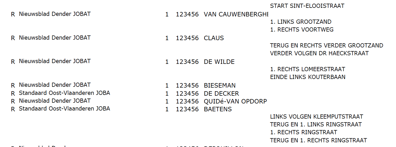
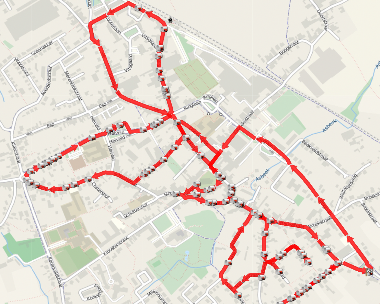
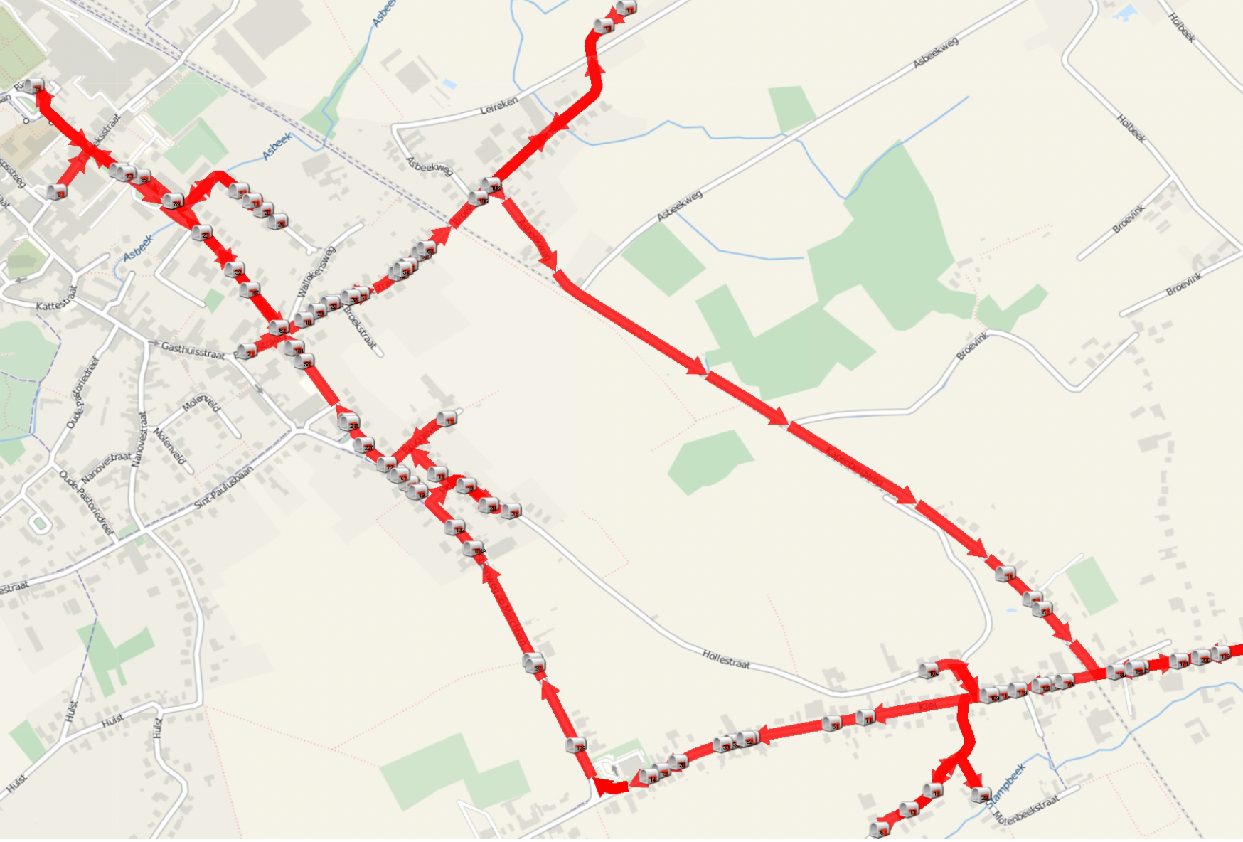
Started with OSM for routeplanning
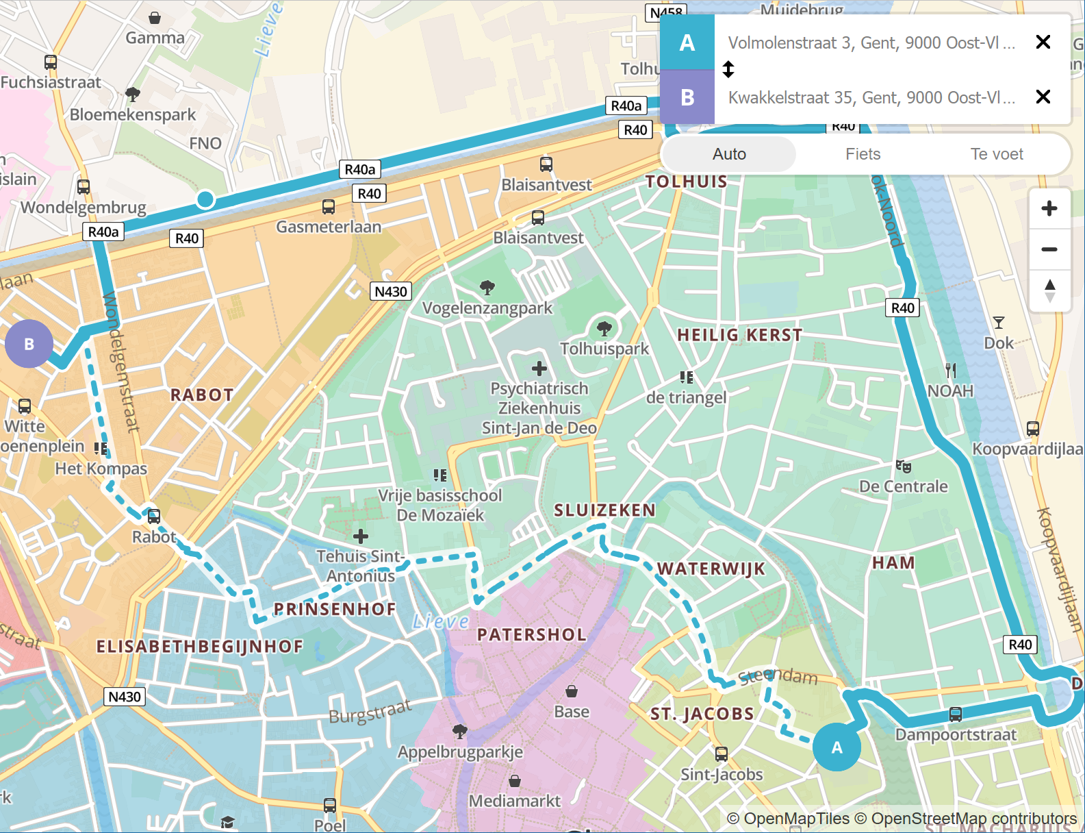
Circulation Scheme - City of Ghent

Impact
Build and analyse different mobility scenarios.

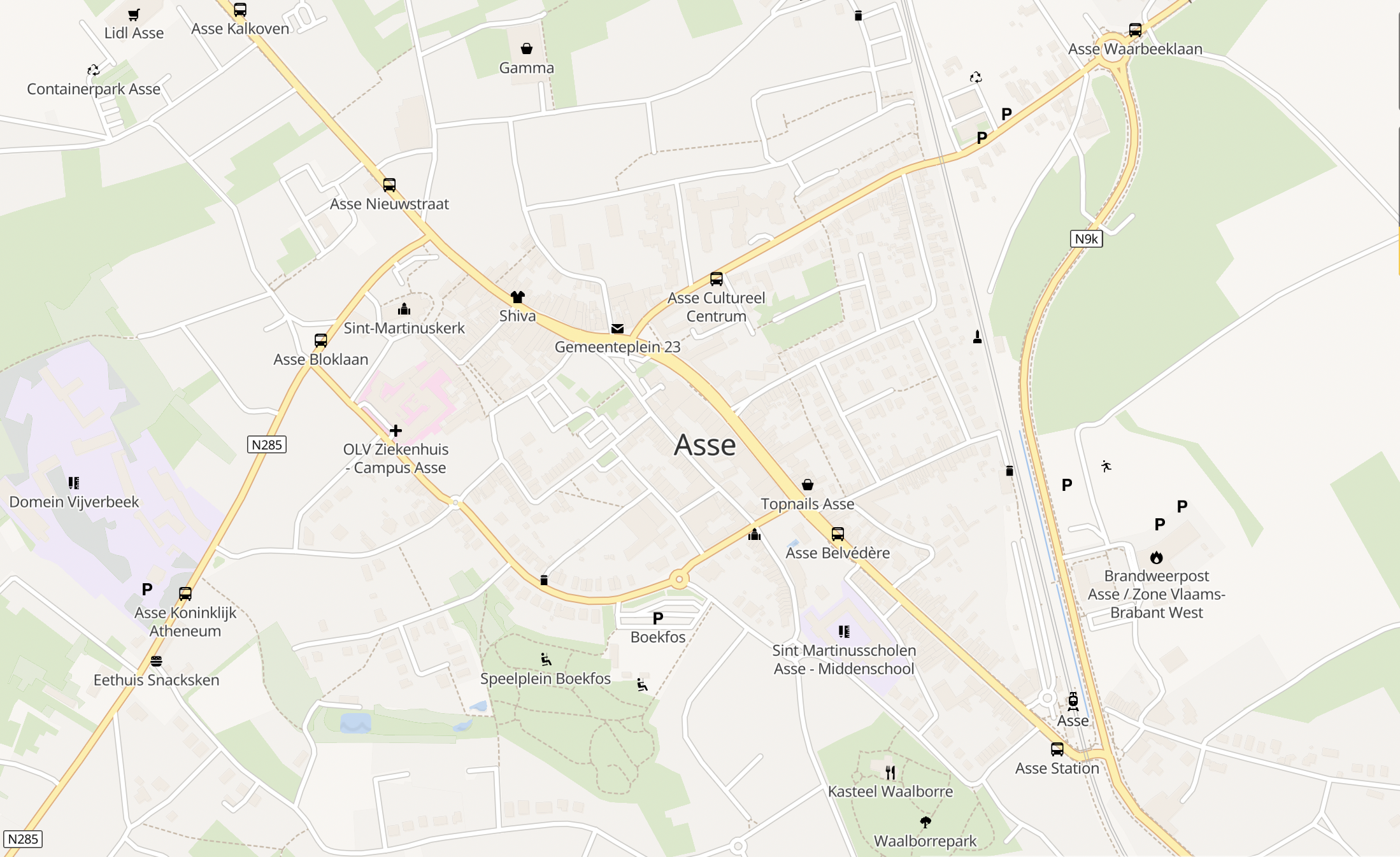
1. Empty map
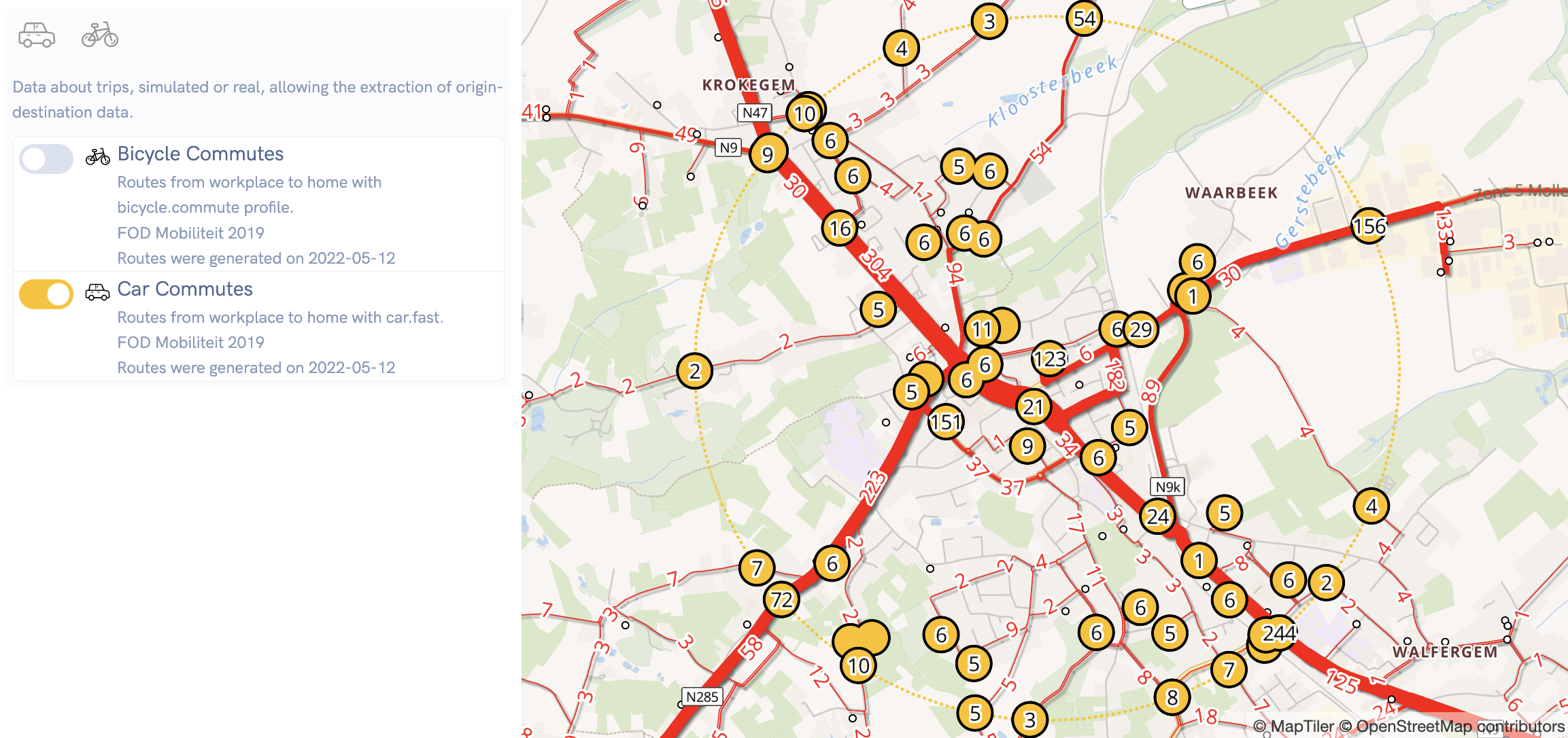
2. Load or simulate origin-destination data
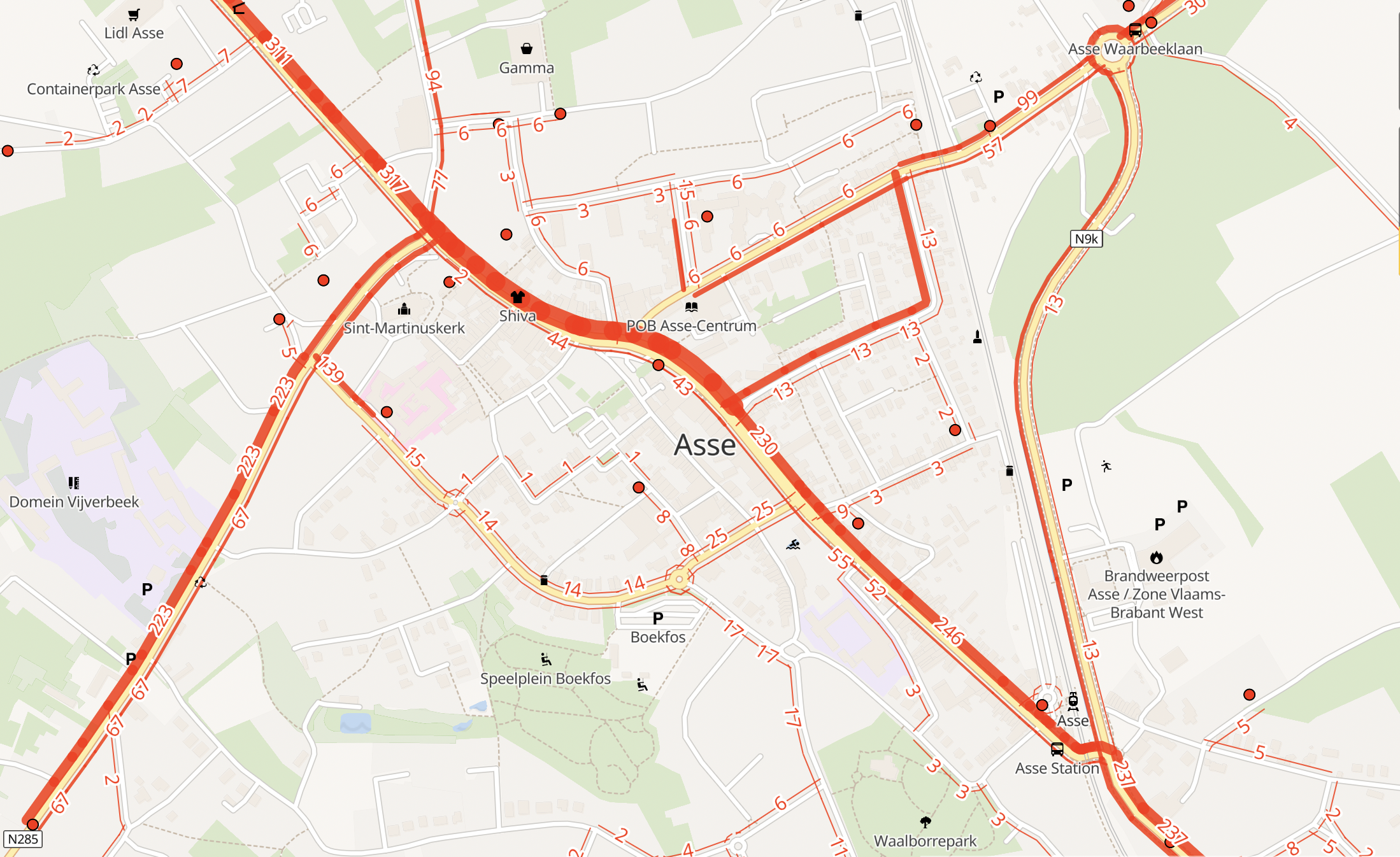
3. Data applied
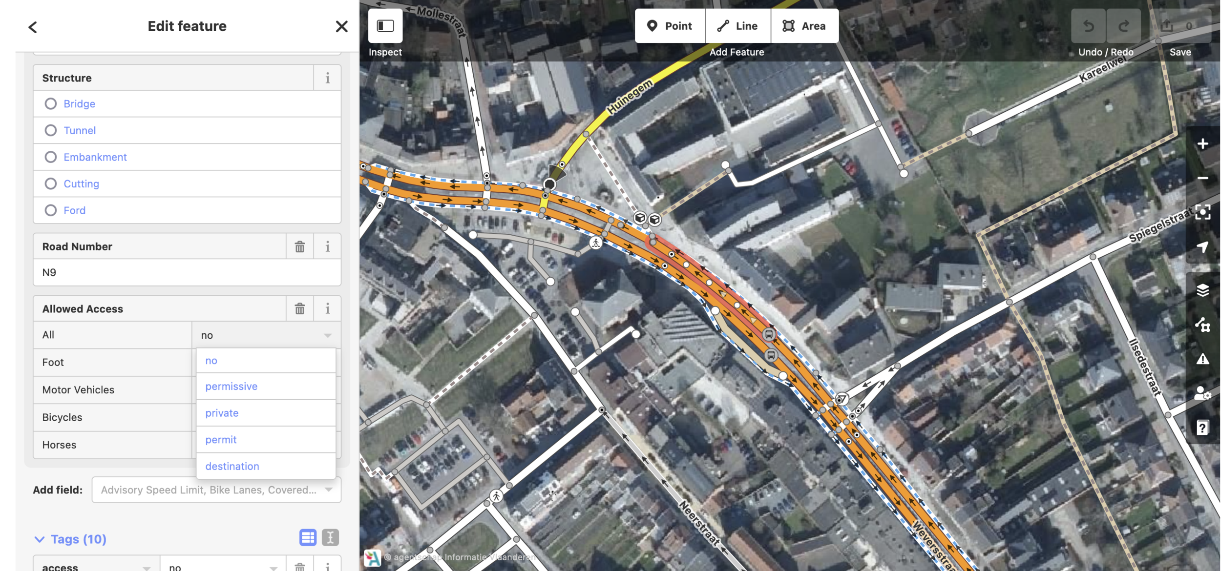
4. Edit road network
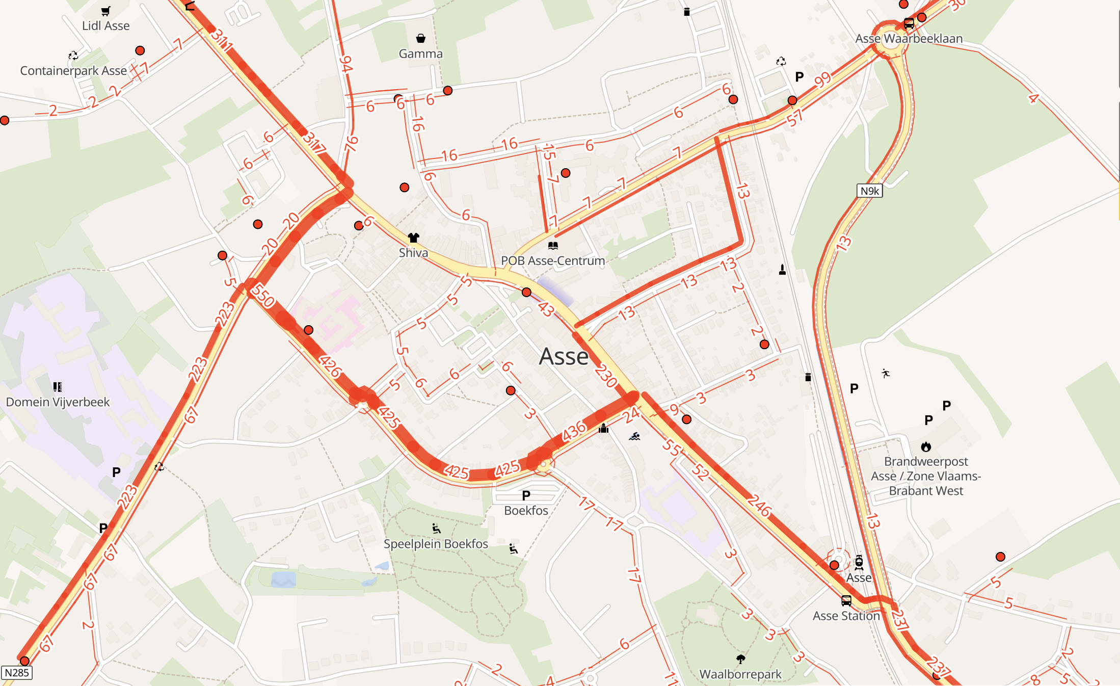
5. Data applied after changes


Impact
Build and analyse different mobility scenarios.
- Simpler compared to a traffic model.
- Very quick to setup.
- Easy to use.
- Results are predictable and easily explained.
- Traffic models focus on cars cars cars.
Tech
A PostGIS database with planet replication that allows forking the current OSM state into a new branch. Each branch is one scenario and has it's own OSM-API endpoint.
A changeset is a commit and each commit has a routeplanner and vector tile layer. Only one open changeset per branch.
OSM Replication
Scenario 0
Scenario 1
Scenario 2
diffs

Tech
All based on zoom level 14 tiles, on each commit modified tiles are generated. The latest tiles for each commit are then picked up for vector tiling and route planning.
Usually there are just a few modified tiles in a scenario. This results in almost instant updates between and edit and the map and routes changing.
Route planner also tile based, it can change it's routing graph by loading modified tiles. Also could be used for an always up-to-date route planner on live OSM data.
modified tiles list
vector tiles
routeable tiles
modified tiles list
vector tiles
routeable tiles



ReRoute
A communications tool for planned scenarios

ShortCut
A tool to generate open data about road closures.
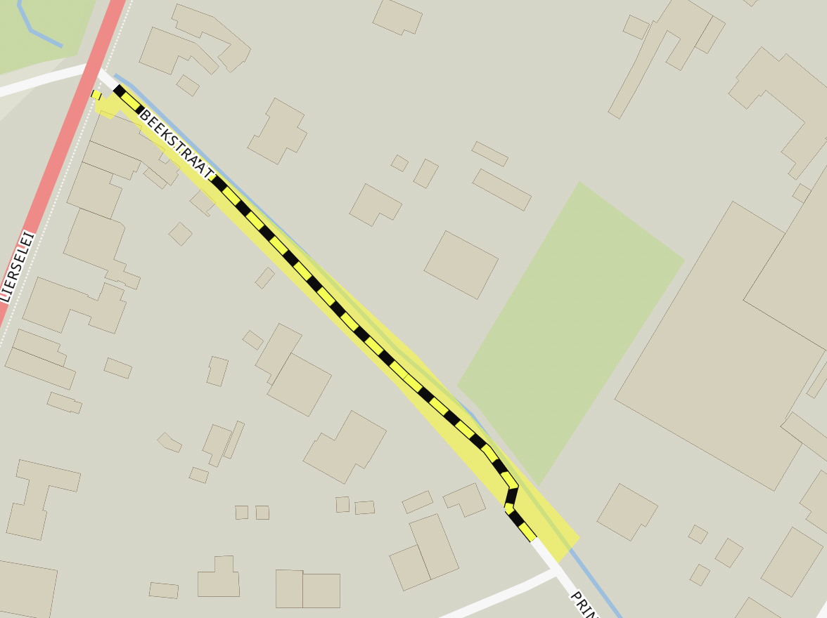
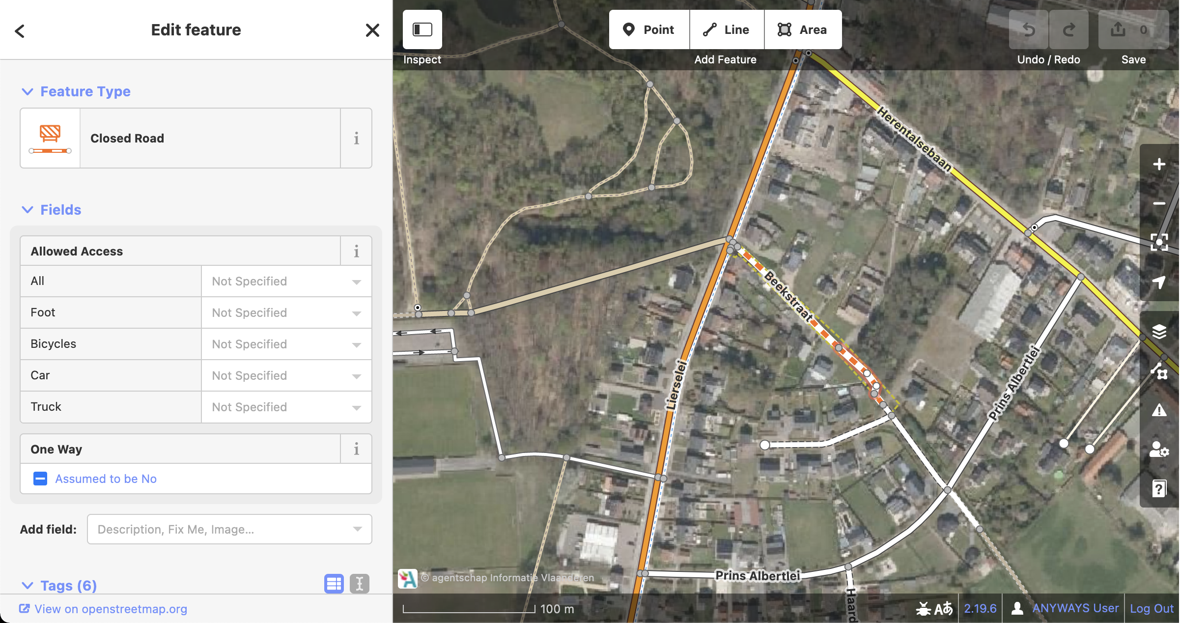
Model road closure exactly
Once modelled we can public DATEX using OpenLR
Thanks!


ben@anyways.eu
https://twitter.com/XIVK/
www.anyways.eu
