Focus on QGIS
Why?
Free, open source, powerful GIS solution.
DATA
as important, if not more important, than QGIS. You will need to find and prepare data as well as document the process.
Text
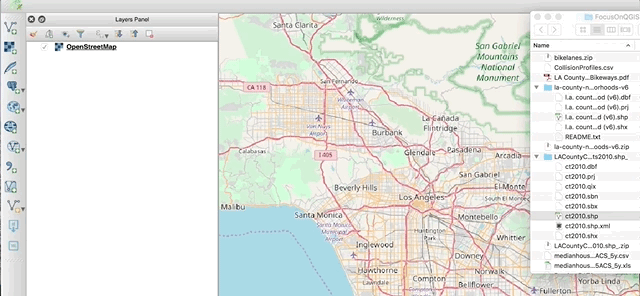
For this workshop you will use the following data. All files are available via the google drive link:
DATA Download
QGIS quick start
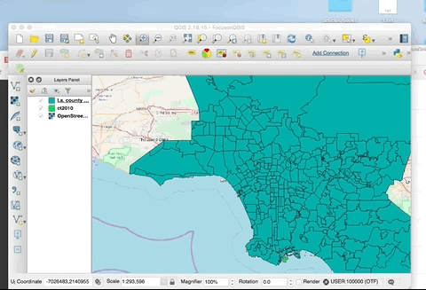
blank project. lets start to load some data in.
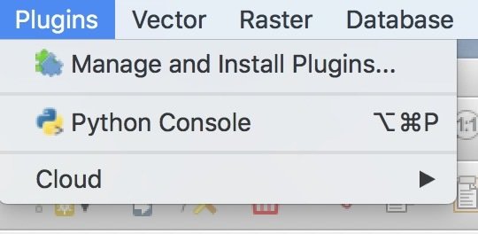
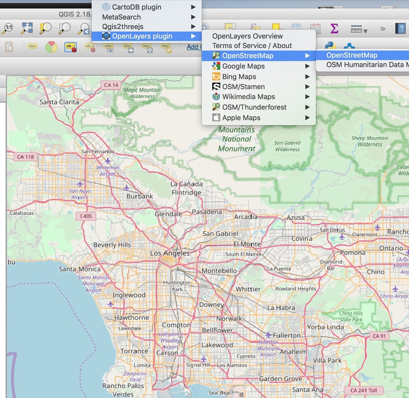
First things first. Lets get a basemap in there.
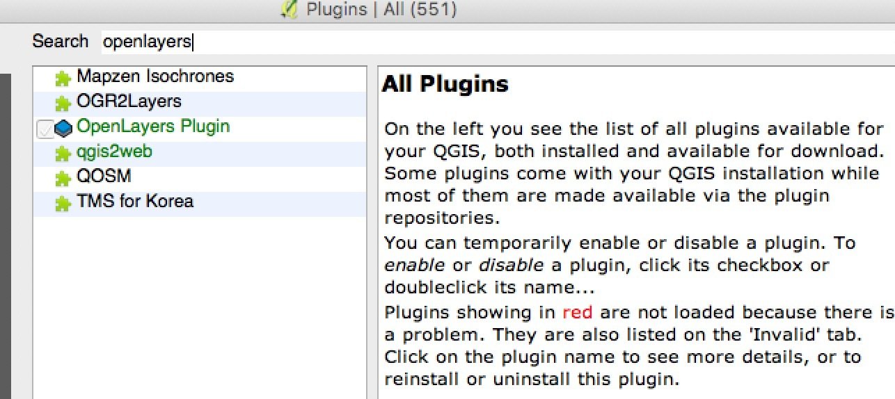
Get the openlayers plugin
Once the plug-in is installed you can select from different baselayers.
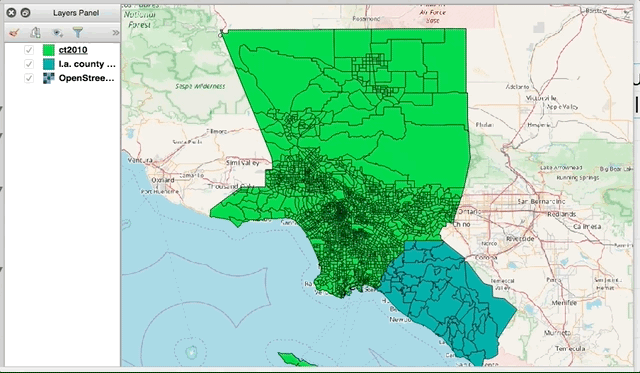
Lets add some data
Put all your data in one project folder.
.shp files can be clicked and dragged into place.
lets take a minute and orient ourselves with some basic functionality
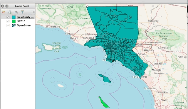
Click on a layer and move it up or down. Important when you want to show multiple layers of data
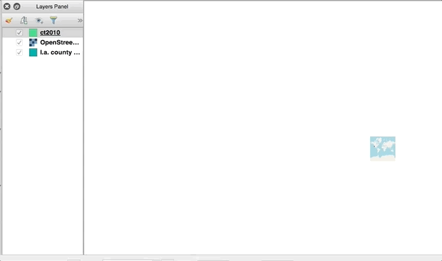
whooops. you accidentally lost your place on the map. zoom to your layer!
right click on the layer to bring up the list of options and click on the first one - Zoom to Layer
The attribute table organizes geographic information by features and information about those features.
Open the attribute table for the LA county neighborhood file by right clicking on the file and then clicking on Attribute Table. Notice in the column heading Name. Name is the descriptor for each individual neighborhood listed.
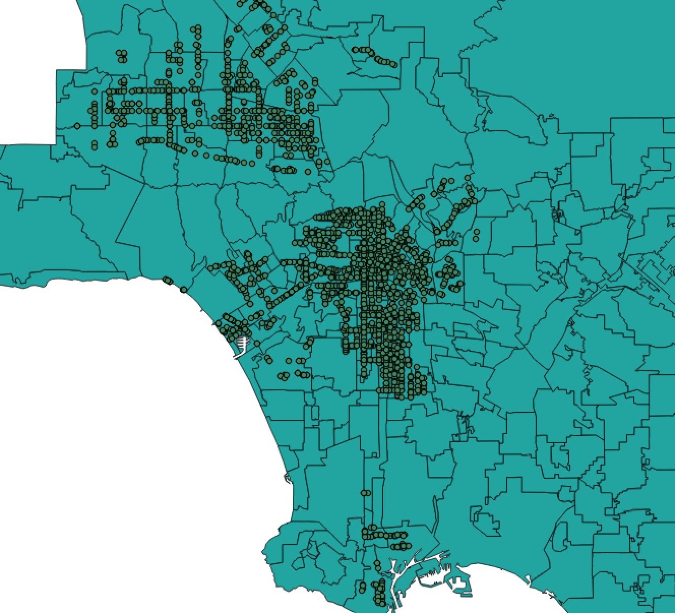
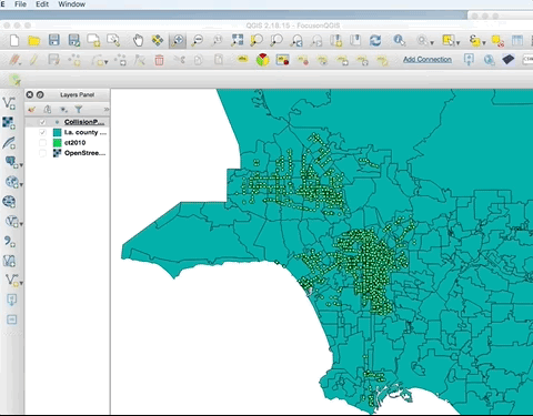
Lets add some point data

but where are the points?
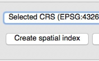
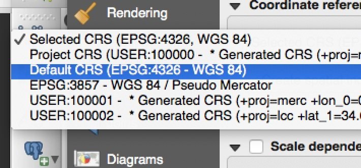
Coordinate system needs to be the same as other layers. Sometimes you will work with data that has a different system. Go into properties, select the right coordinate system, create the spatial index and apply it.
Spatial Join
Vector, Data Management Tools, Join attributes by locaation
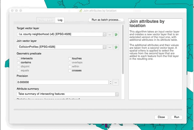
Target Vector Layer = L.A. County Neighborhood
Join Vector Layer = CollisionProfiles
Intersect, take summary . . . , sum then run
Style in properties
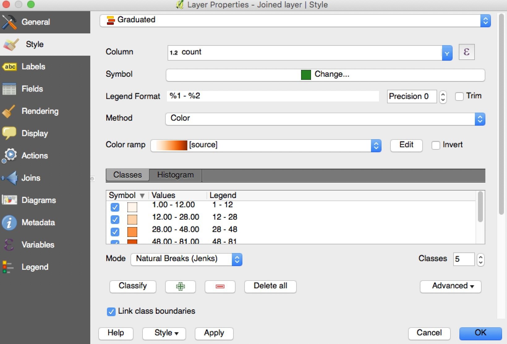
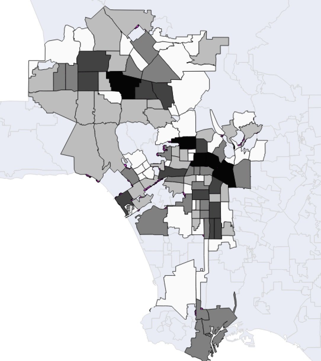
Collision counts by neighborhood
Another join, but a little harder
but first quick demo of Social Explorer
census data discovery and download
and fun
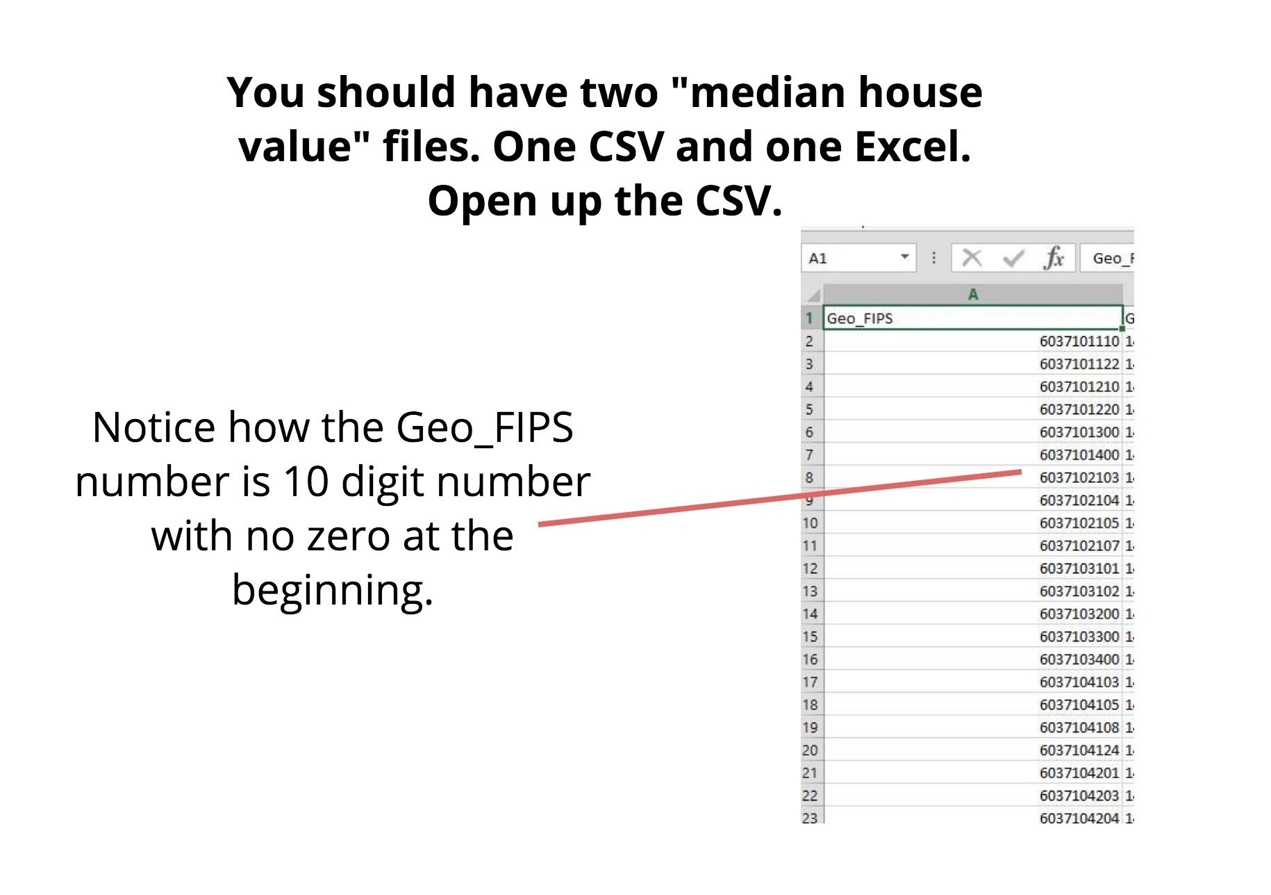
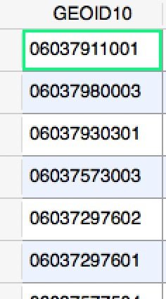
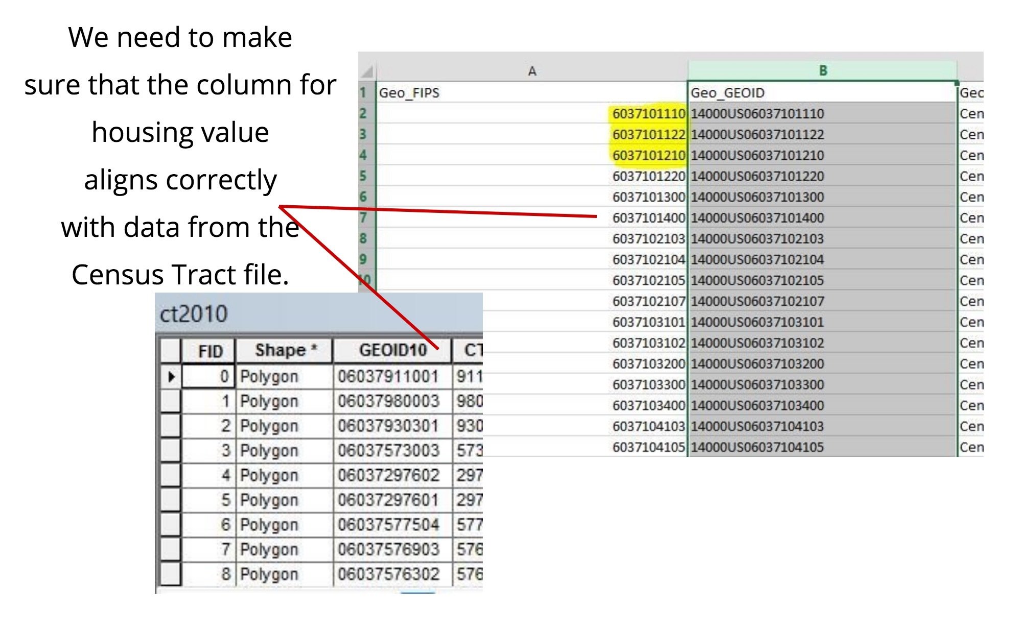
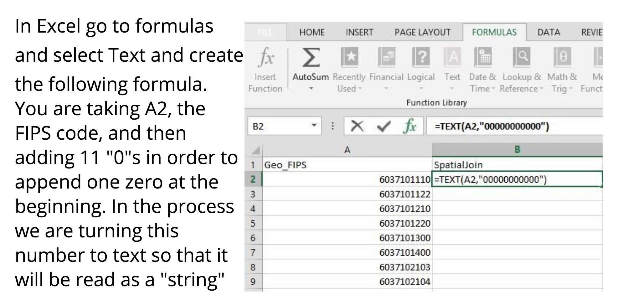
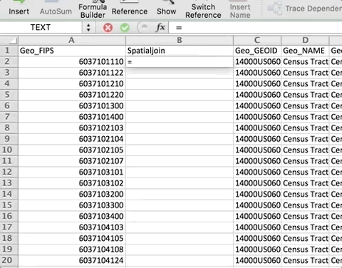
If you look at the attribute table for ct2010 (census tracts for LA) there is a little problem. The GEOID10 field has a "0" appended to the string of numbers. This number does not currently align with your CSV file. We will need to fix this!
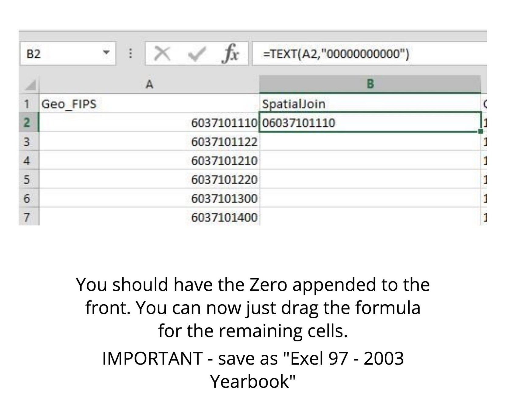
Save as a new file
Name it "housingvaluebytract"
select "excel 97 - 2003 Yearbook" or "CSV" and
add it to QGIS
Now you can select the census tract shapefile, open the properties and join!