mapping babel
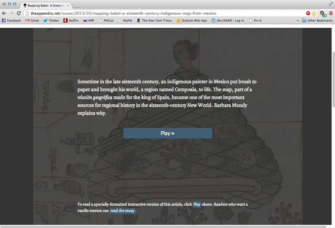
(Barbara E. Mundy)
Anna-Sophia Zingarelli-Sweet
LIS 2975: Digital Scholarship
University of Pittsburgh iSchool
9 October 2013
@aszingarelli // anz31@pitt.edu
-
Work of digital scholarship recently published in The Appendix, "a new journal of narrative & experimental history" (October 2013, 1:4)
- Late 1570s: Spanish royal officials distribute printed broadsheets among holdings in the Americas
- "Instructiõ, y memoria"
- Questionnaire about climate, geography, history, economy, religion
- Distributed from Mexico City throughout "New Spain" (now Mexico & Guatemala). In majority indigenous towns, an interpreter translated
- 100s of indigenous languages in Mexico (eg Nahuatl, Zapotec, Mixtec)
- Replies translated back into Spanish - Relaciones geográficas
Pintura
- One of the questions required a "pintura", understood as a map of the town or region
- In some languages/regions with pictorial languages, this was understood to have a greater significance:
- "more than a scrivener. Rather, he (and sometimes she) was understood to have the capacity to translate immaterial knowledge into visible form. Every act of putting a brush loaded with pigment onto paper was an act of inquiry into the nature of the world." (2)
The cempoala pintura
-
Northeast of Mexico City
- depicts about 600 sq miles
- pieced together out of several sheets of European paper
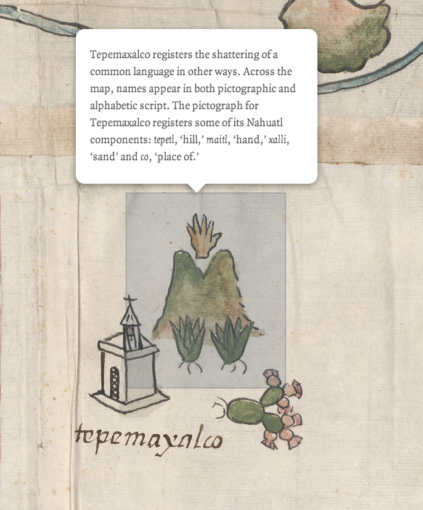
- includes both transcriptions in Latin script and pictographs
More about nahuatl
- "At the time of the Spanish conquest, Aztec writing used mostly pictographs supplemented by a few ideograms...
- could not represent a full vocabulary of spoken language...
- not meant to be read, but to be told"
- (Wikipedia, "Nahuatl orthography")
- 1645: Jesuit Horacio Carochi writes grammar of Classical Nahuatl
- Charles II (r. 1665-1700) bans indigenous languages in his empire


