Road Completion in Belgium - Mapping & verifying *all* the roads
by
OpenStreetMap Belgium

Map
The
World!
'State of the Map' in Belgium
- Excellent basemap.
- Excellent state of transport-related data
- Good quality road network.
- Good quality transit data.
- Reasonable landuse.
- Basic address coverage
How far along are we?
How do we know?
What if things change?
Road Completion

Road Completion
Not about importing data!
Road Completion
Not about changing the way we map!
- Completeness & quality assurances.
- Change detection, spot changes faster

Road Completion

Road Completion Project
- Compare OSM <-> Other data
- Mapping!
- Feedback

Loop 1
Loop 2
Comparison (tech)
- Convert source data (shapefiles, wegenregister)
- ogr2ogr : reproject and convert to geojson
- nodejs : convert attributes to OSM-tags
=> this makes the comparion process independent of source.
- mapbox/tippecanoe : split into vector tiles
- Distributed comparison process:
- mapbox/tilereduce : process tiles in parallel.
GitHub: https://github.com/osmbe/road-completion


open-data
OSM
OSM (buffers)
comparison
diff

Comparison
(v 0.1)

Comparison
(v 0.1)

Comparison
(v 0.1)


Comparison
(v 0.1)

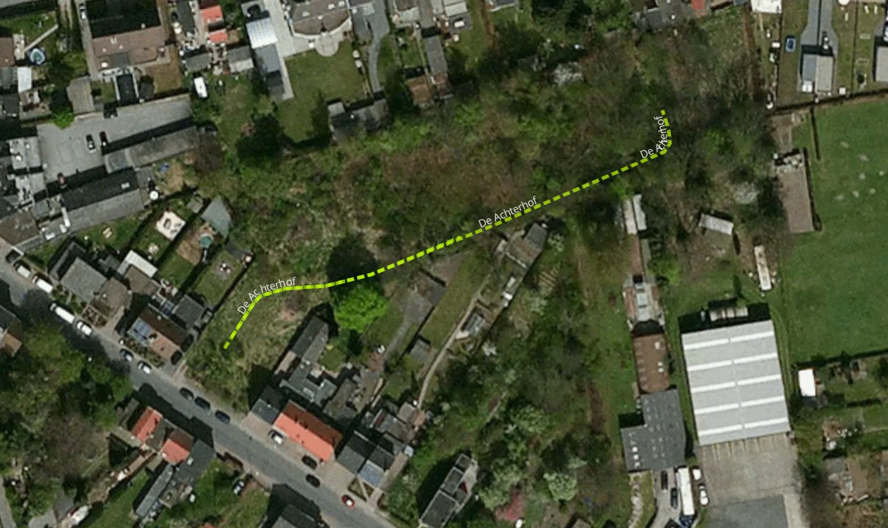
Comparison
(v 0.1)

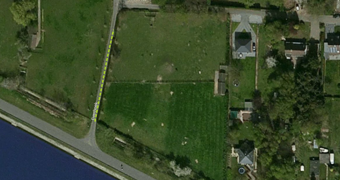
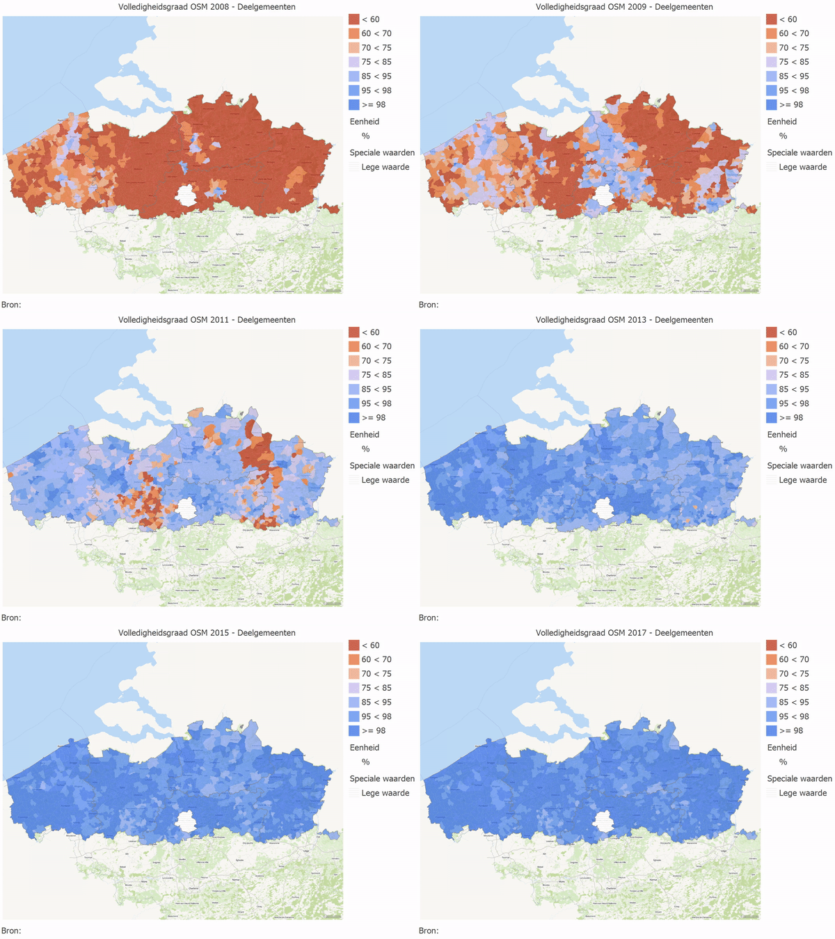
Road Completion Flanders
14.000 cases to check!
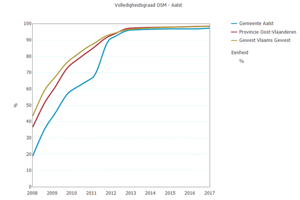
Flanders
- 13900 cases, mostly driveways
- maproulette
-> only 1842 fixed
-> we don't want random people doing it
-> even 'heavy' mappers make it difficult
Mapping
We built a small app:
Developed during Open
Summer of Code:
A team of students funded
by Brussels Government...

Mapping
Some examples:
https://road-completion.osm.be/#15.74/50.874343/4.422588 => different methodology.
https://road-completion.osm.be/#17.2/50.873231/4.406509 => false positive
Mapping
Some examples:
https://road-completion.osm.be/#18.59/50.8662248/4.3984346 => missing parking
https://road-completion.osm.be/#16.6/50.804377/4.40805 => an actual missing street!
Mid-term goals
- Verify OSM road network.
- Generate quality metrics for OSM roads in Belgium.
Do this is in the open, use open-source tools and open-data so everyone can run their own!
Why?
"We don't want to provide our data on a bad network."
"The OSM license doesn't allow combining it with our data."
"Anyone can modify OSM, you have to be crazy to use it!"
"Bla Bla..."
Trust!
Quality
&
Consistency
Imagine
- A costless (or very cheap) datasource.
- Quality checked and verified.
- Consistent.
- Almost always up-to-date.
- Community-driven!
Who can compete with this?

nobody