360 Images for Sustainability Science Communication and Understanding
Possibilities for presentations, lectures and faculty-wide narratives (install the YouTube app on your phone! Have your phone ready for QR codes)


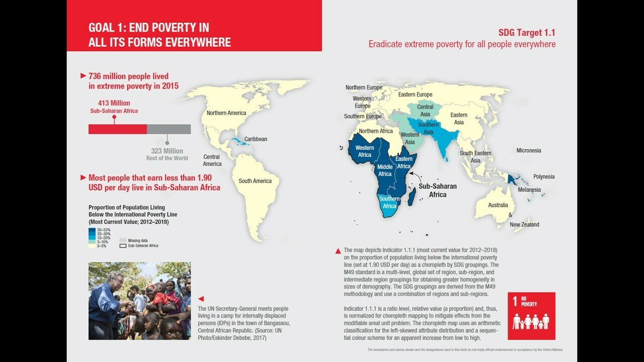
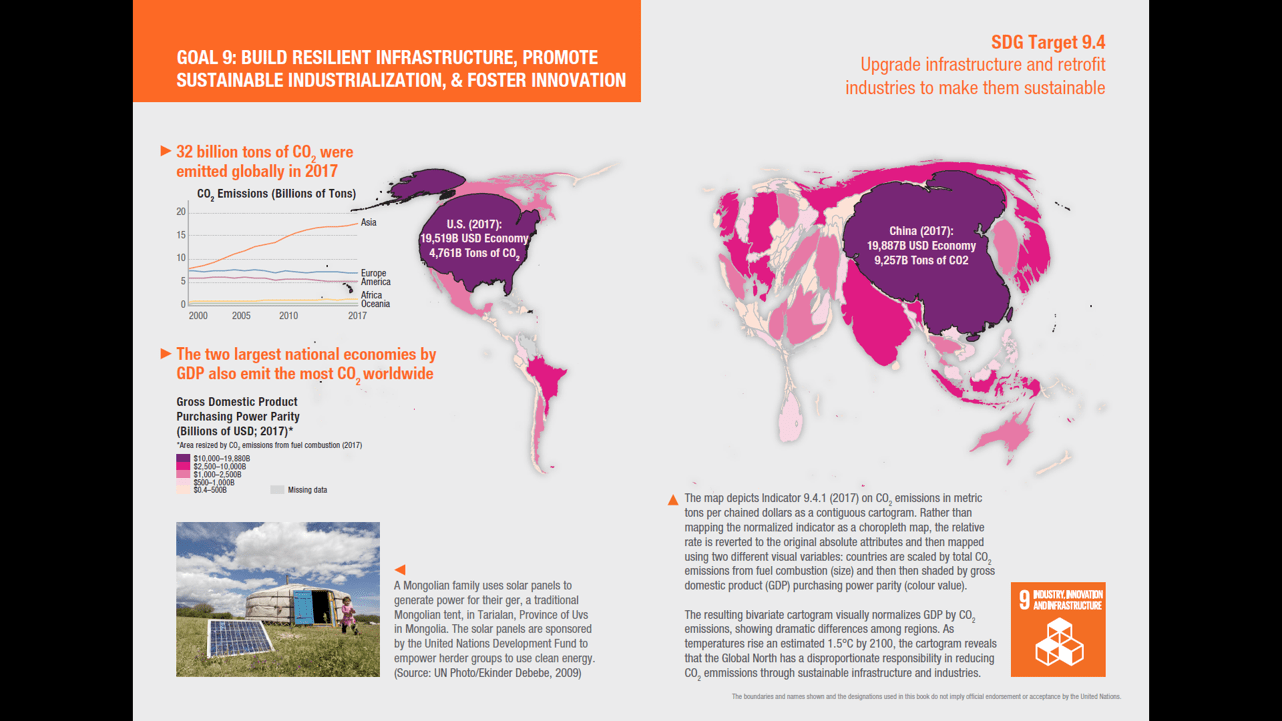
Sustainable Development is complex
How do we teach our students (any audience really) to understand, care and act on the sustainability issues presented in our program?
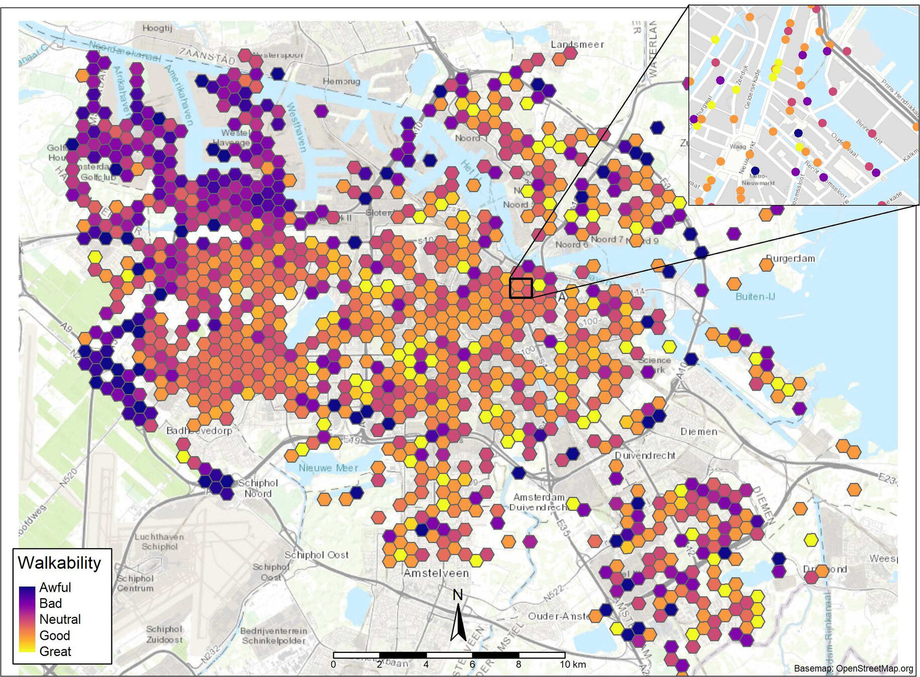
Maps reduce complexity
Reveal patterns that may otherwise go unnoticed
Maps form narratives
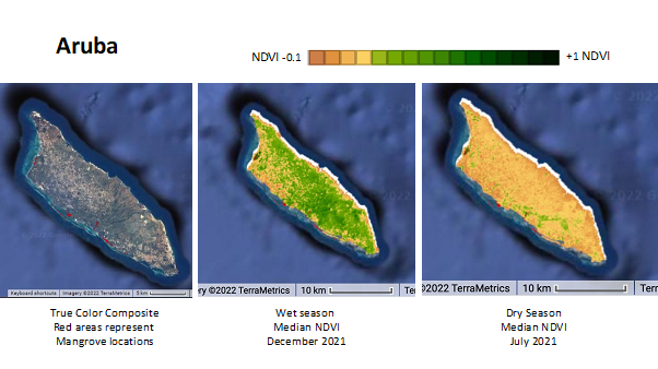
tropical dry forests and mangroves


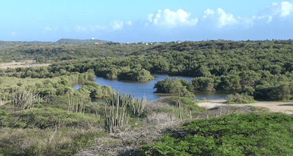
Let's look around one of these tropical dry forests from the ground: in place.
Space
(Neutral)
Place
(Care)
examples from literature
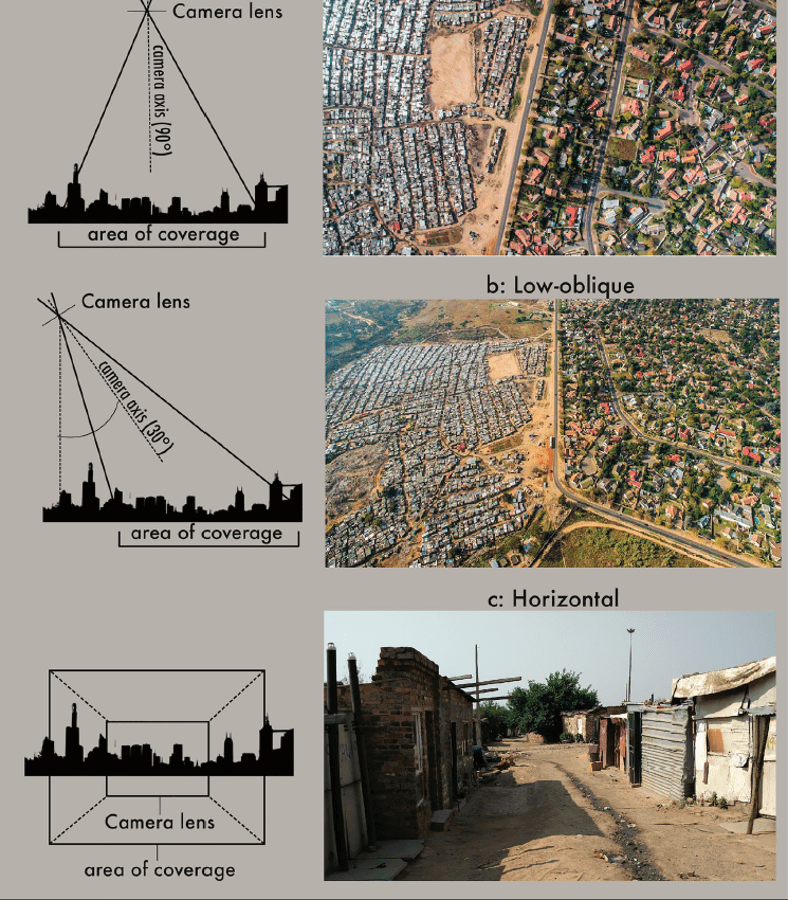
Visual imagery and the informal city: examining 360-degree imaging technologies for informal settlement representation (Cinnamon 2024)
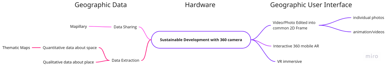
360 camera - Add context
Can be used for:
Geovisualization
- Images
- Videos
Spatial Data
Data Extraction
Conceptual Framework
applied to 360 imagery
Educating, informing, warning, persuading, mobilizing and solving this critical problem.
1
Sustainability Communication
Human perception, thought, behavior in relationship to space/place (cognitive maps, spatial cognition)
2
Psychologies of Space
User draws conclusions based on interaction with the map
3
Geovisualization
Sustainability Communication
At a deeper level, climate change communication is shaped by our different experiences, mental and cultural models, and underlying values and worldviews

this is where I developed my love of nature
Grandmom and Grandad's house - in an
A-Frame house in the woods
(the html framework for viewing these images is also called A-Frame.)
Geovisualization
often a map
Geodata
User Interface/
Experience (UI/UX)
Advisor
Interaction
1
Figural Space
smaller than the body, directly perceived from one place without locomotion
3
Environmental Space
larger than the body, require integration of information over time, buildings, neighborhoods, cities.
2
4
Geographical Space
much larger than the body, cannot be apprehended directly through locomotion, must be learned via symbolic representations - such as maps or models
Scale and Multiple Psychologies of Space
(Montello 1991)
Vista Space
larger than the body but can be visually apprehended from a single space without locomotion
1. Figural space
reveals relationships between objects
"fits in your hand"
may show landmarks in distance - configuration of space
1. Figural space
Possibilities with
360 camera
abstract
alternative perspectives
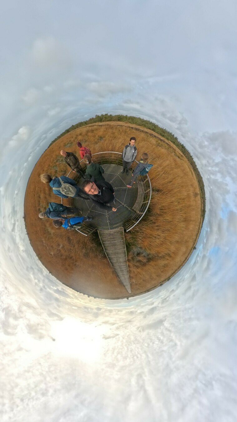
2. Vista space
Inspire viewer to Care --> SD Communication
Appeal to emotion
Evokes empathy
Understanding
Localized narratives
different type of
UI/geoviz

<!DOCTYPE html>
<html>
<head>
<meta charset="utf-8">
<title>360° Image</title>
<meta name="description" content="360° Image - A-Frame">
<script src="https://aframe.io/releases/0.8.0/aframe.min.js"></script>
</head>
<body>
<a-scene>
<a-sky src="imgs/zuid_ken_sm.jpg" rotation="0 -130 0"></a-sky>
<a-text font="kelsonsans" value="Scottish Highlanders" width="6" position="-2.5 0.25 -1.5"
rotation="0 15 0"></a-text>
</a-scene>
</body>
</html>AI edited example
Advertisement for
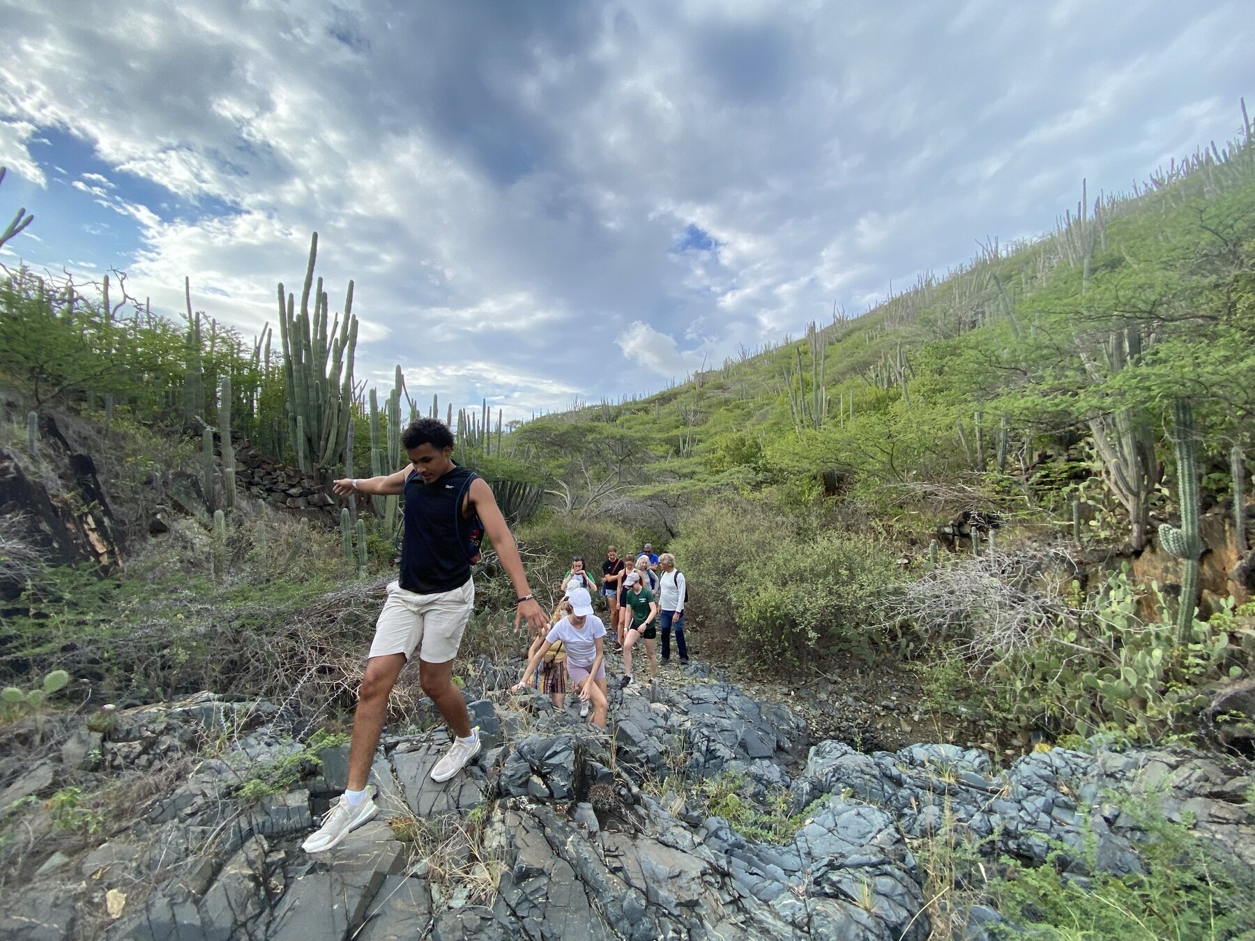
GSS consultancy Project Aruba course
Unedited 360
In-situ lecture with Eric Mijts
interactive example
Time Lapse - not perfect - see amy field site
2. Vista Space - using animation (and music)
Social Media Examples
Watch on your own - narrative with animation
Does the animation make the viewer sick?
Virtual field trips - professional example
3. Environmental Space
picture the landscape
movement builds understanding the configuration of a landscape with movement (Nanna Verhoeff)
360 video showing movement - bike video
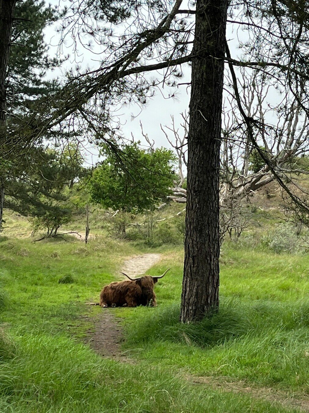
Zuid Kennemerland
"Street View"
Find existing open source 360 imagery
or upload yours
4. Geographic Space
much larger than the body
Requires symbolic representation such as maps

Mappy VR A Frame Examples
Clip - reframe images
Automat the process from publically available 360 images Figural space
4. Geographic Space
360 image Data Extraction and Analysis
extract data from multiple 360 images
Analyze or classify images
Aggregate to understand geographic space
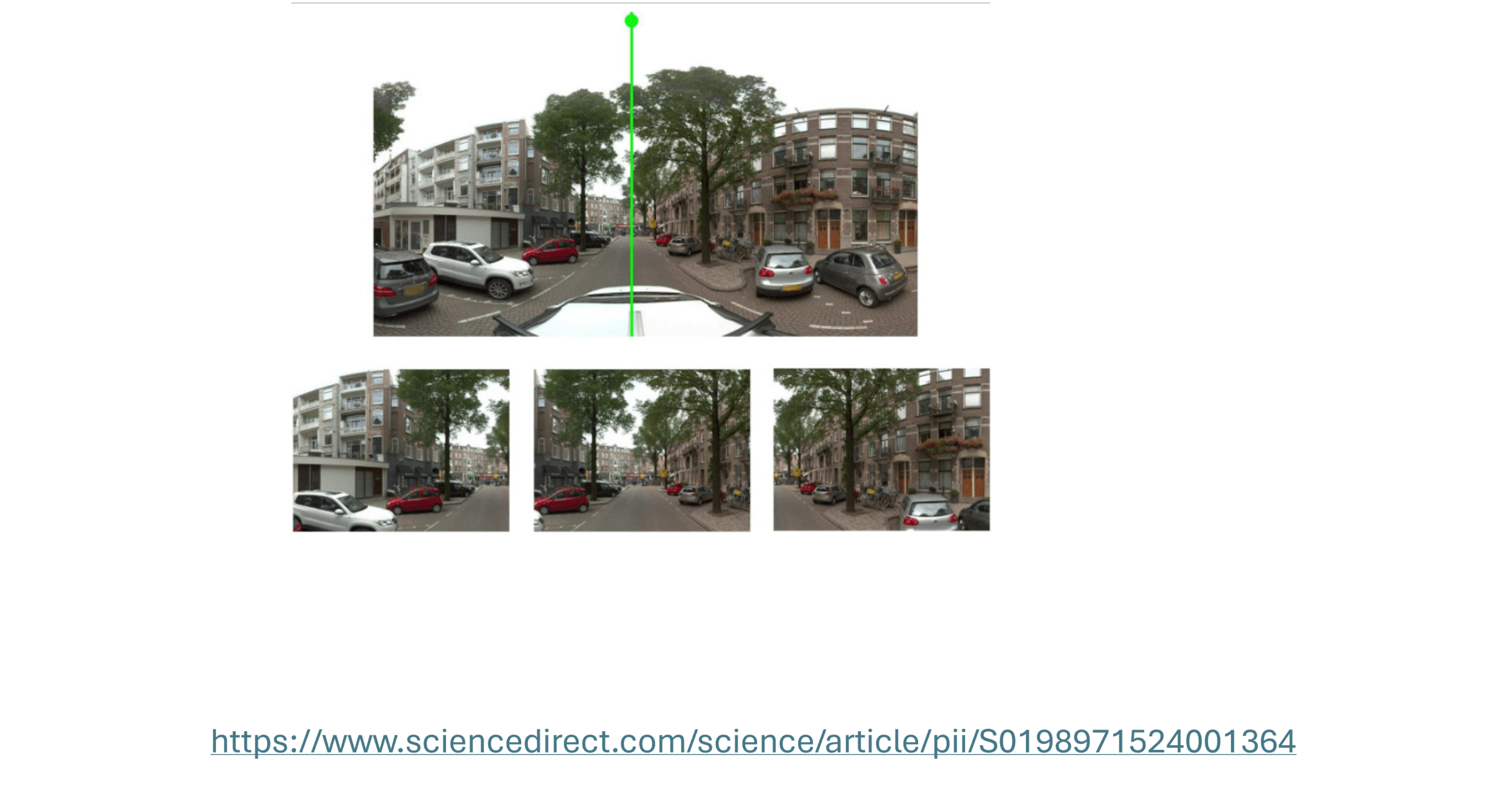
Data Sharing and Data Extraction More examples from literature
d’Andrimont, R., Yordanov, M., Lemoine, G., Yoong, J., Nikel, K., & van der Velde, M. (2018). Crowdsourced Street-Level Imagery as a Potential Source of In-Situ Data for Crop Monitoring. Land. https://doi.org/10.3390/land7040127
https://besjournals.onlinelibrary.wiley.com/doi/epdf/10.1111/2041-210X.14472
Summary
| Scale | Description | User interface | Communication Aim |
|---|---|---|---|
| Figural | smaller than body | Picture - printed map | picture the phenomenon |
| Vista | larger than body -single vantage point | 360 interactive image/video | understand spatial relationships |
| Environmental | Locomotion - city, park | video - animations -overhead view | configuration |
| Geographic | Continental | extract data + map | magnitute |
-
Plan your video/image - Insta360 Tutorials
- Wind - sound!
- Camera settings
- These files are HUGE
- Insta360 mobile and desktop app
- editing (AI and manual options)
- exporting - 360 and/or "normal" frames
- YouTube 360 Viewer
- A-Frame - A web framework for building 3D/AR/VR experiences
- There is so much more out there...
Tips and Tools
(not too difficult but does require time and attention)
AI editing
deep tracking "follows movement"
useful for planning
Use this tool together for Sustainable Development Communication!
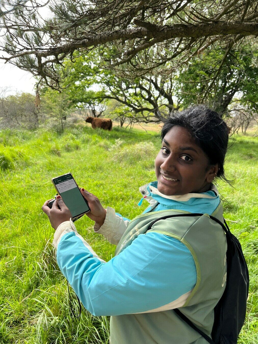
Take pictures of your field sites
Use them in teaching and presentations
Perhaps together we can bring all of this together
- for multiple - coherent narratives about sustainability issues we each address?
Share tips and tricks with editing images?
Share them in a single repository
tag them based on continent, country, ecosystem
...decide together

Thanks for listening to my 360 perspective

use youtube app for full effect