A Brief & Selected History:
Intro to Geospatial Technology
Department of Urban Studies
University of Washington Tacoma
TGIS 502 * Autumn 2014
Britta Ricker, PhD
Brief history
Selected moments in the history of geospatial technology to better understand how we got here and now.
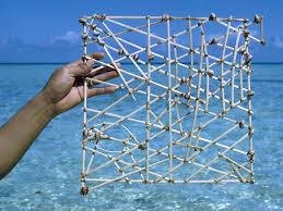
Pacific Island "stick" charts
Maps made of coconut fibers to show the location of islands, waves, and currents. They were memorized before a trip.
Classical Geography
Greek Geography
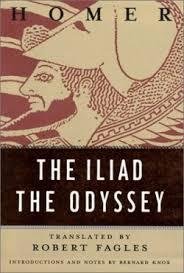
Homer
Iliad - history
Odyssey- geography of the fringes of the known world
Hipparchus of Nicaea
Greek Astronomer, Geographer and Mathematician
162 to 127 BC
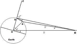

First to divide the globe into an imaginary grid of equally placed parallels of latitude and meridians of longitude
image credit
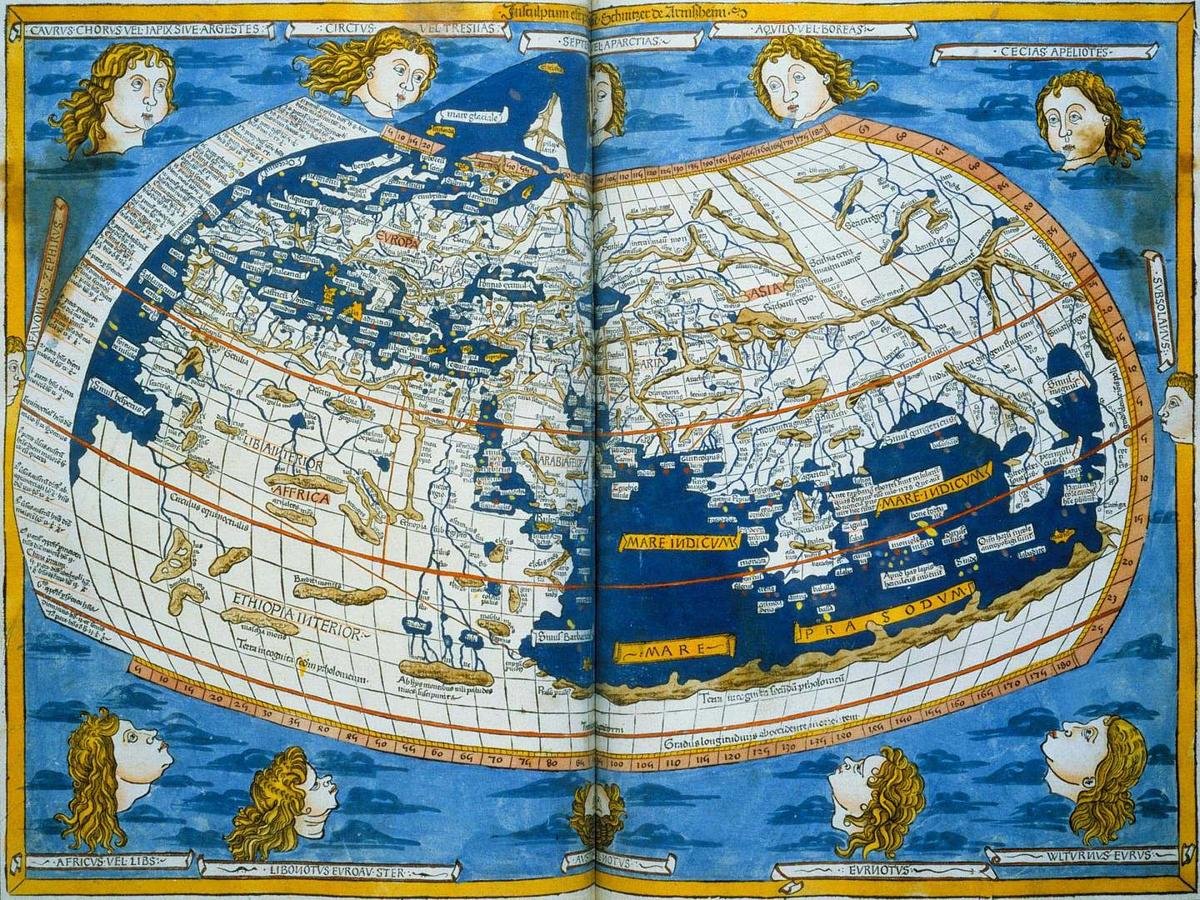
Claudiums Ptolemy
Geocentric solar system
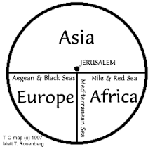
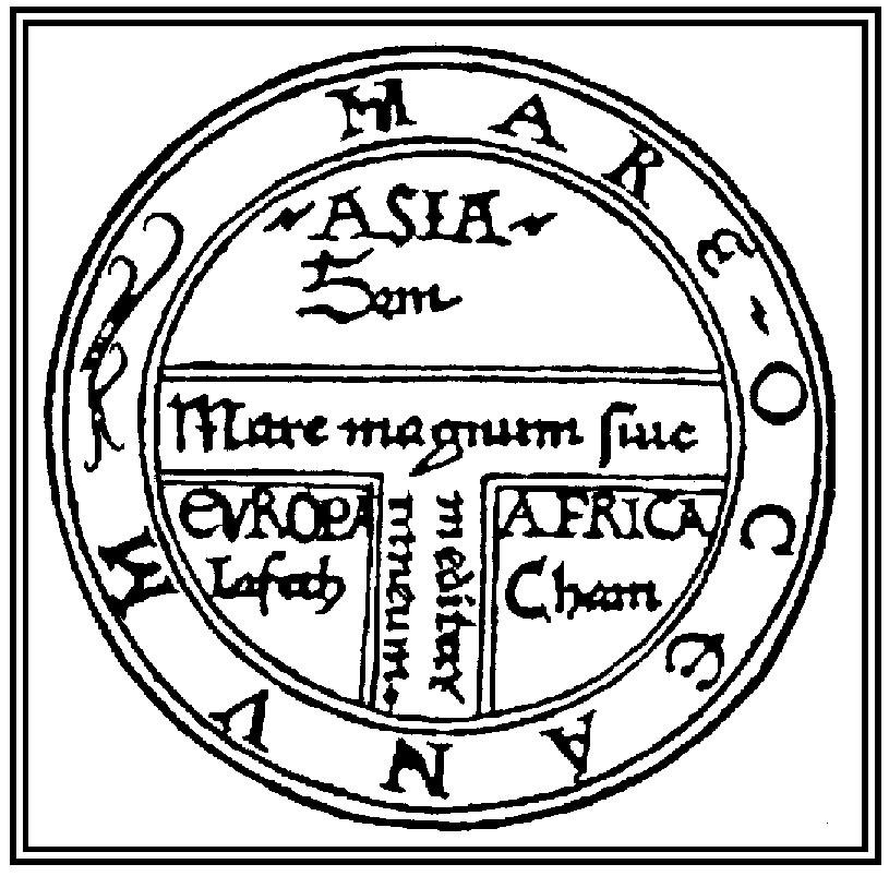
Mappaemundi
Medieval
European
Map of the world
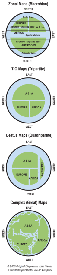
T-O
O is the wold surrounded by water
T divides the world into known continents
-
Aristotle
- Test theory
- go and see
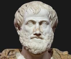
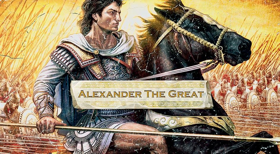
Alexander the Great studies with Artistotle from 343-340 BC when he was 13-16 years old
Alexander the Great
- Became the king of Macedonia at the age of 20
- Expand Greek knowledge and geographic horizons
- He founded Alexandria
- Died in 323 BC
- "The empire he built and ruled with compassion collapsed in strife" (Martin, 2005; 28)
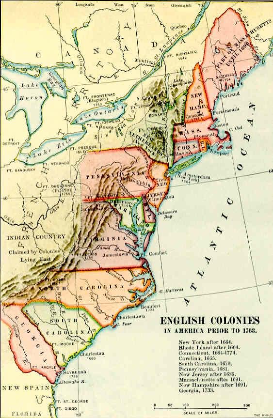
Colonialism and Exploration
Text
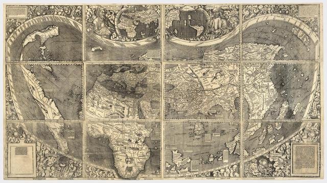
In 1507, Martin Waldesmuller provided the first map to use the name "America," for the Italian explorer Amerigo Vespucci
Mercator Projection
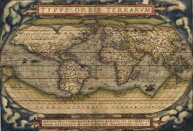
Peters Gull
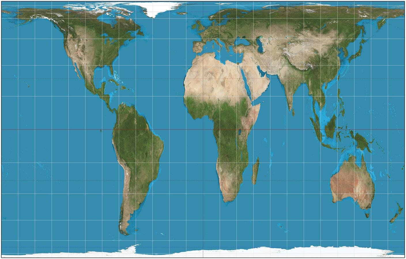
"configurable equal-area map projection known as the equal-area cylindric" wikipedia
WWI
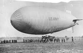
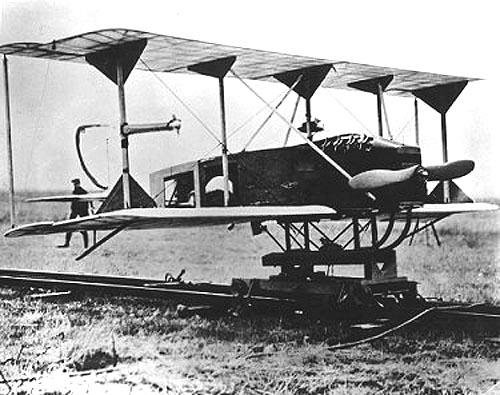
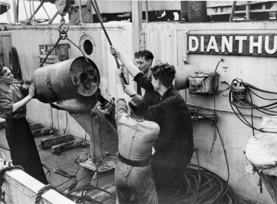
WWII
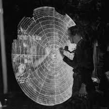
Radar
- for navigation
- triangulation
- LORAN- long range navigation
Geospatial Technology over Time
- Classical Geography
- Age of Exploration
- More Wars (WWI and WW2)
- Contemporary Geospatial Technology
- 1990's-2005
- 2005-Today
- Tomorrow