


A flexible collaboration tool for multimodal and multiscalar 3D data exploitation.



Matthieu Thivet
Quentin Verriez
Damien Vurpillot

What is Aspectus?

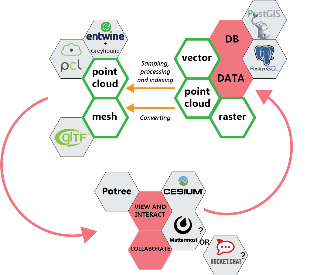


A digital workspace to visualize and annotate multimodal and multiscalar 3D data, for archaeology and cultural heritage.
Mixing a professionnal social network interface with highly efficient web visualization tools.


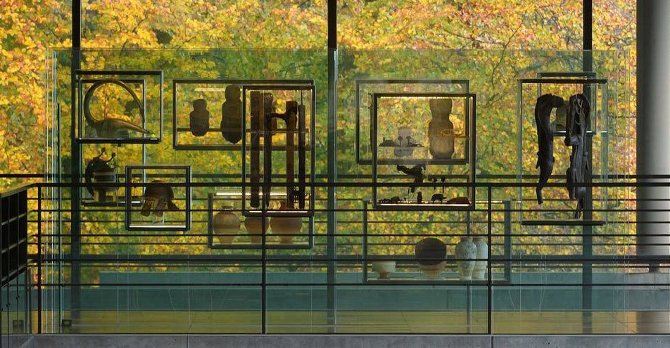
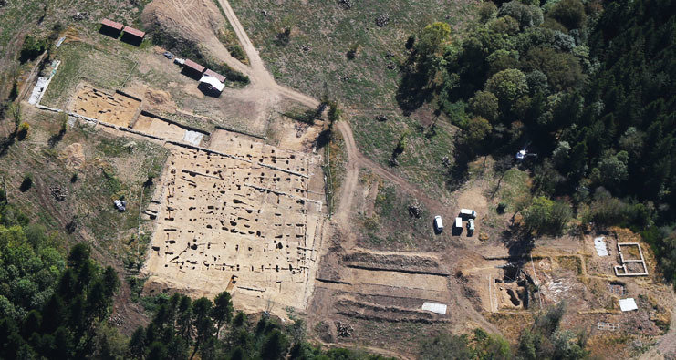
reflections on complete workflow to manage archeaological digital data from field to archiving, dissemination and valorization
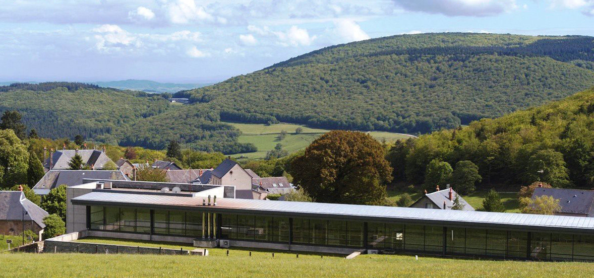
a site (since XIXe)
a museum (1996)
a research centre (1995)
Accumulation of digital data since 20 years
Bibnum :
Photos : A. Mailler, Bibracte

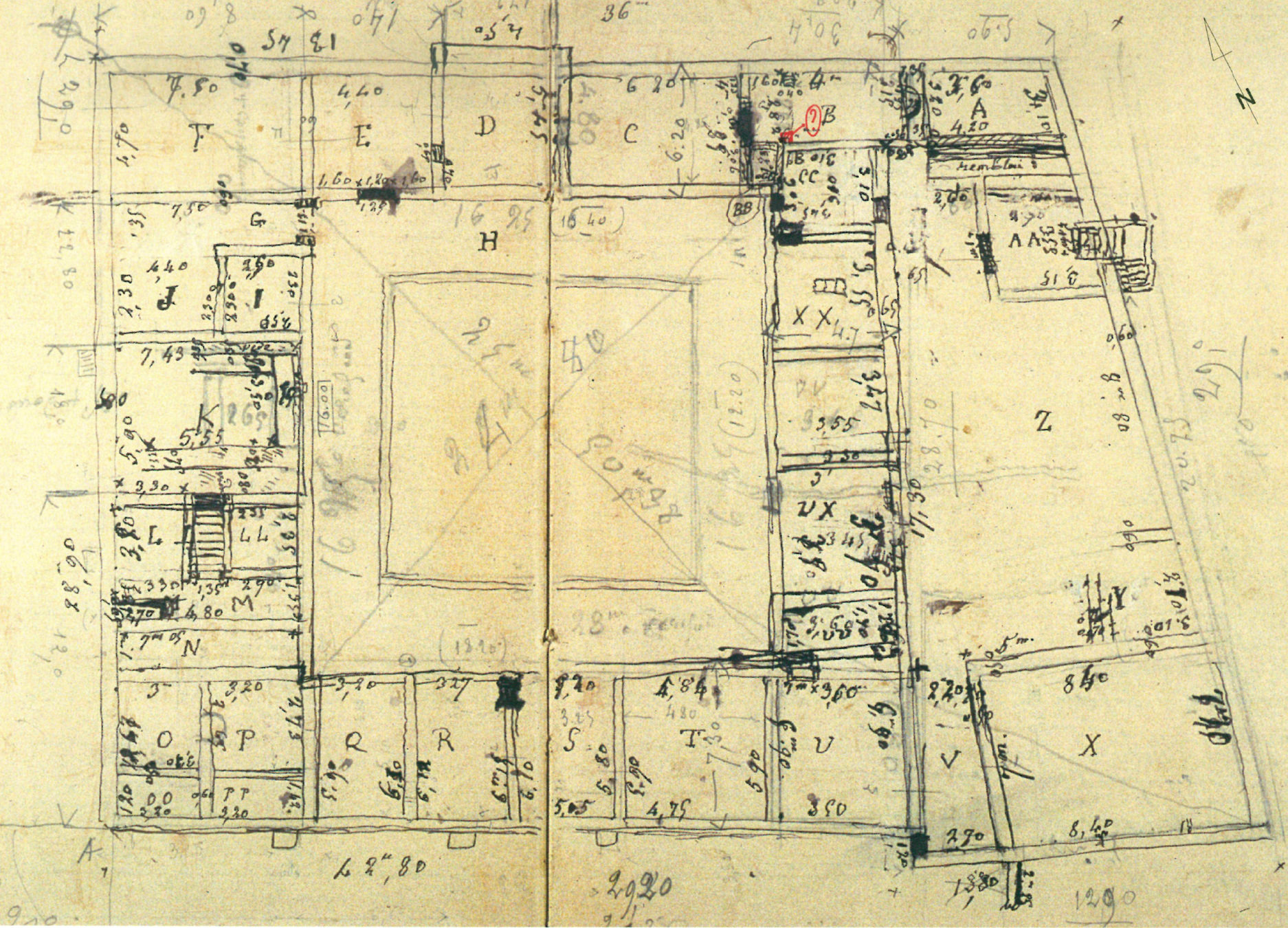
Domus PC2 :

state of the art
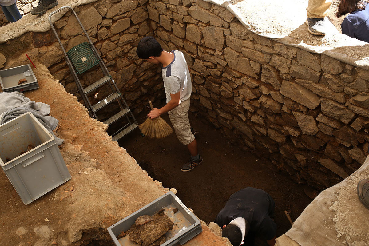
a domus in urban district
excavated in 1882
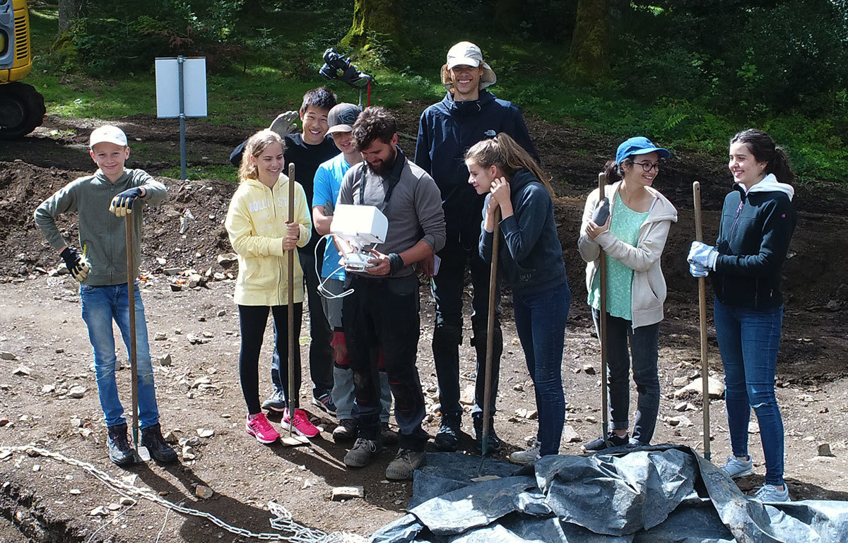
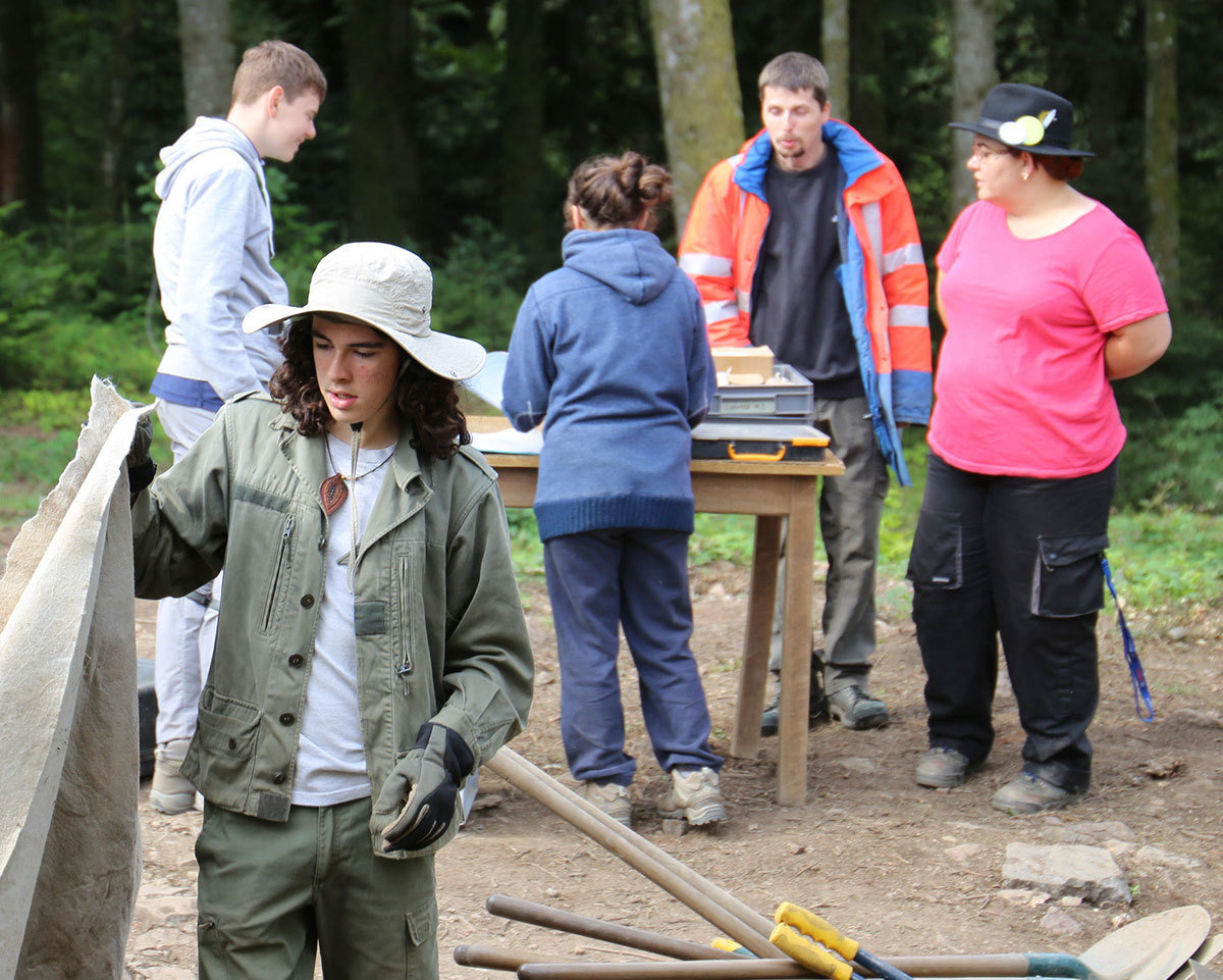
initiation excavation for young people
F. Meylan, 2005
J.-G. Bulliot, 1882

Digital data:
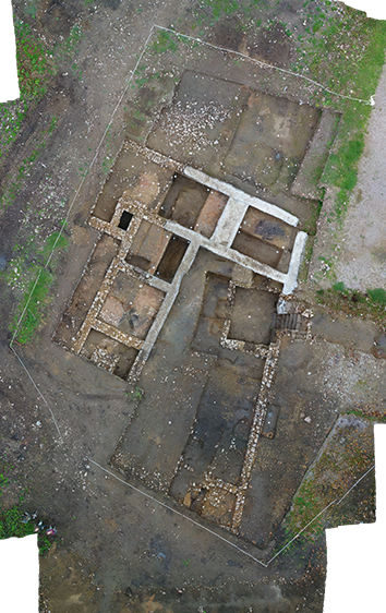
Photogrammetry :
acquisition parameters
Each layer (424m²)
Adaptive methode to area
1mm/pix resolution
42 acquisitions for 92gb
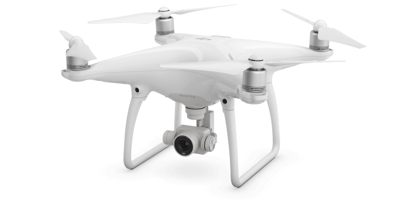
Dji Phantom 4 pro
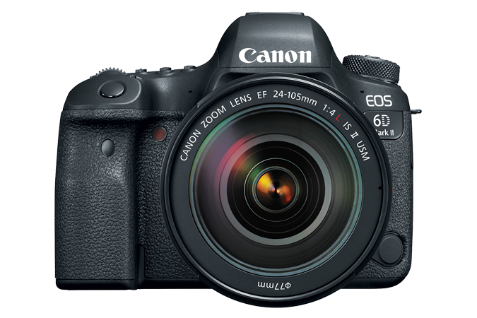
Canon Eos 6D

10m
2m


Technical insights, feeding the front end

.assessing and processing 3D spatial data
Test: Spatial footprint, density, homegeneity
Cleaning: SOR filter, density threshold (relative to the object and its size)
Indexing
if massive (>200M?) = Entwine
else .laz or .pnts
big files
performance
light files
less efficient
Mesh
hierarchical LOD glTF 2.0
.multimodal and multiscalar front end


glTF (3Dtiles)
Entwine, laz,
pnts (3Dtiles)
geojson, kml, czml
(spatial data)
scale1
scale2
scale2

(new isolation window)
Potree (new isolation window
for metrologic insights)

asynchronous
collaborative
tools


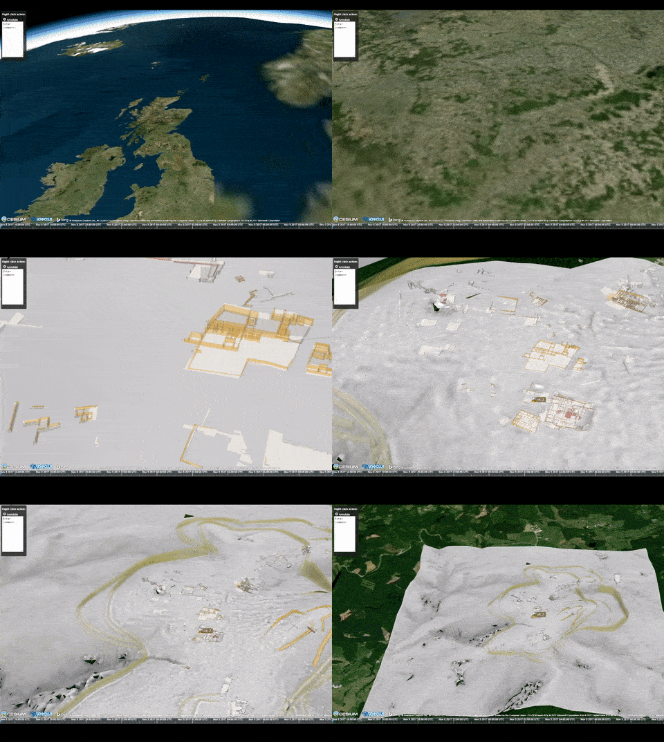
Live demo: back to Bibracte PC2



Cooking the back end and ideas
Integration of cutting-edge point cloud interactive selection and annotation (maybe derived from astrophysics tools).
https://www.youtube.com/watch?v=GlyNswoGVWE
Context-Aware Selection Techniques and Visual Storytelling
Lingyun Yu (Rijksuniversiteit Groningen)
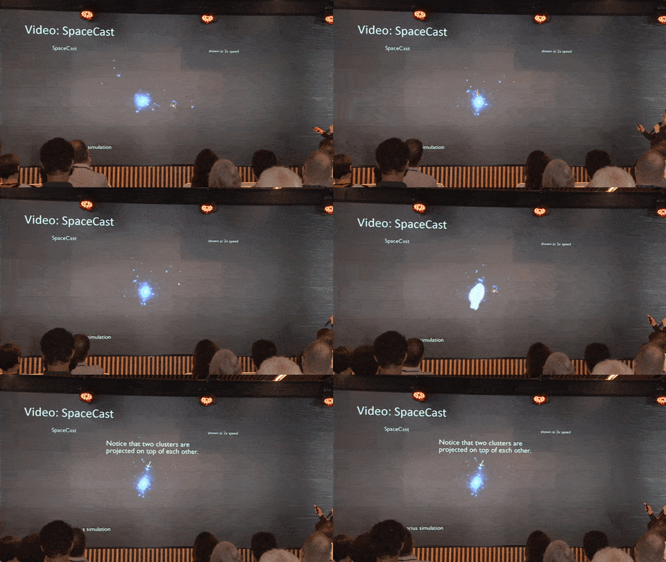
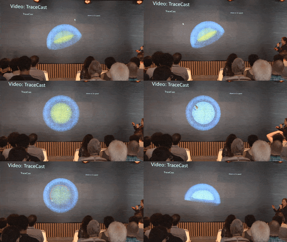


Cooking the back end and ideas
Exploring available open source web based collaboration tools.

https://rocket.chat/
https://about.mattermost.com/
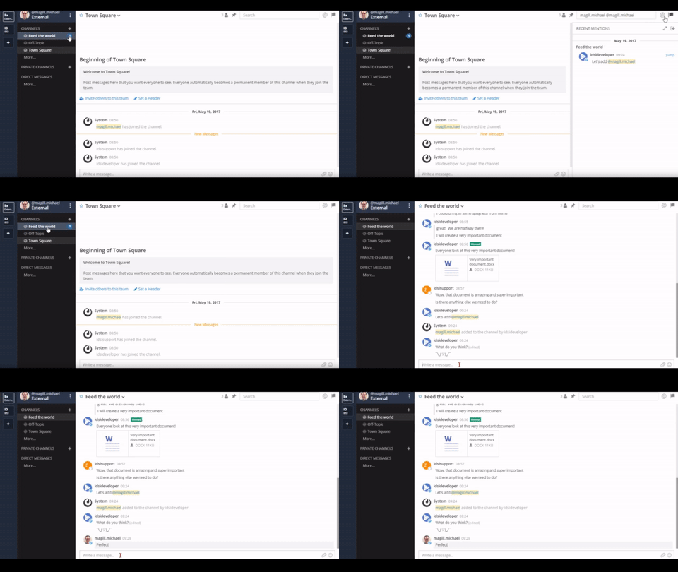
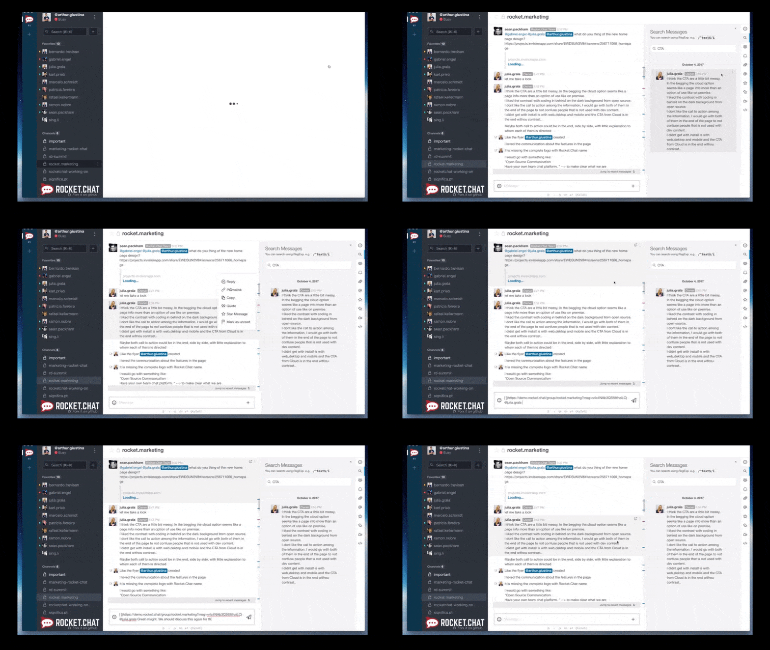


Cooking the back end and ideas
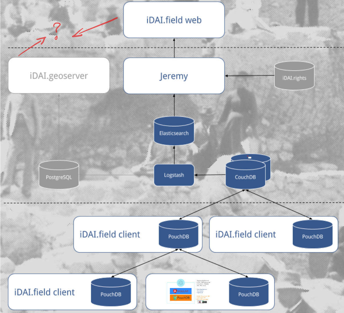


A flexible collaboration tool for multimodal and multiscalar 3D data exploitation.


Matthieu Thivet (matthieu.thivet@univ-fcomte.fr)
Quentin Verriez (qverriez@gmail.com)
Damien Vurpillot (damien.archeo@gmail.com)