How technology can enhance the delivery of invasive plant management in British Columbia
Presented by:
Dana Diotte
GIS Technician
Technolgies Currently Used for Invasive Plant Management:
- Hyperspectral Imagery
- Drone (UAV's)
- Mobile Data Collection
- Advanced Data Science (Machile learning and AI)
- Nano Satellites
- Citizen Science
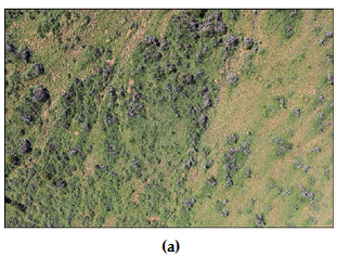
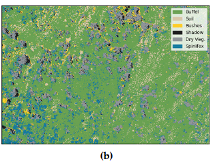
Hyperspectral Imagery
- Ultraviolet and infrared radiations
- Hundreds of spectral bands
- High resolution
- Can detect phenological differences
- Costly needing lots of storage and powerful computers.
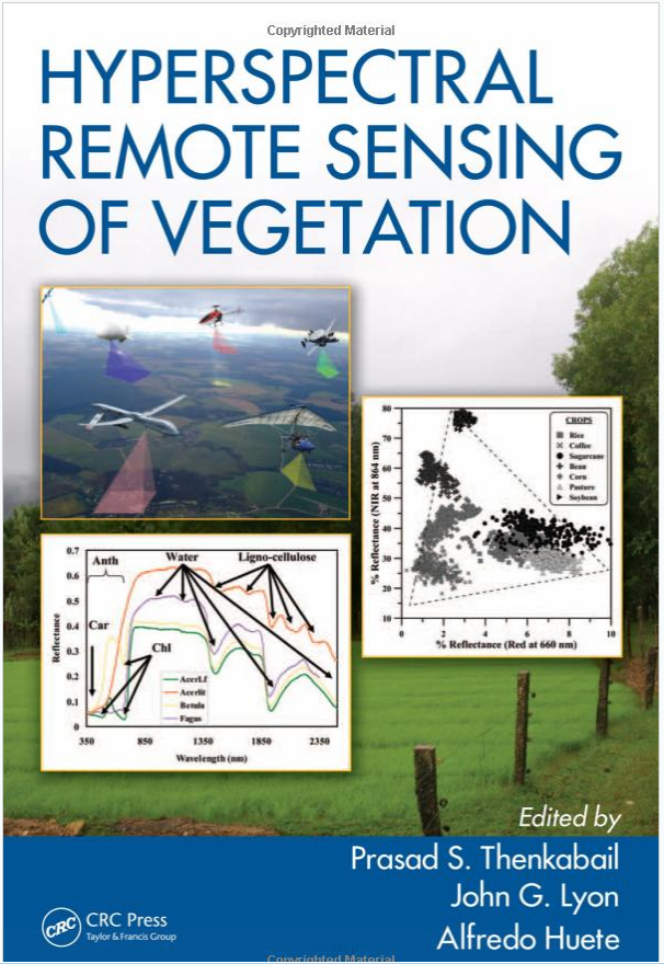
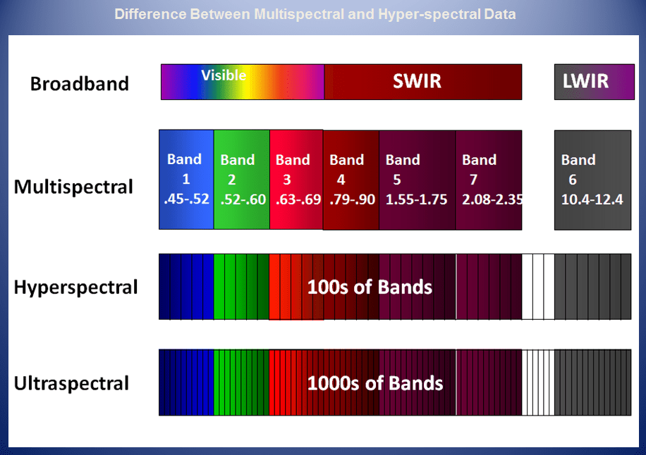
Source: Altigator (2018)
Literature Cited:
Drone (UAV's)
- Cost effective
- Collects data 'on demand'
- Can be used to detect and/or monitor invasive plants at various stages
- Need a licensed pilot to fly a UAV
- Weather can affect flying
- Limited range depending on quality of UAV and payload
- Good on sensitive or challenging terrain.
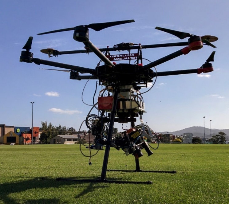
TerraLuma UAV w/ Hyperspectral system
Literature Cited:
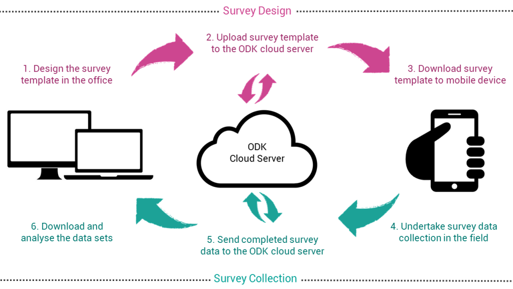
Mobile Data Collection
- Reduced cost
- Increase speed
- Data quality
- Improved control and flexibility of fieldwork
- Safer storage and backup
- User friendly method
- Quick access to data
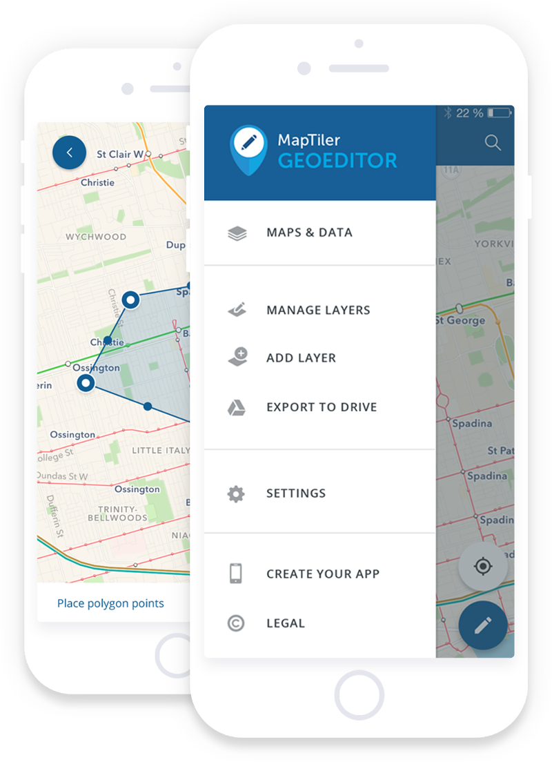
Mobile Data Collection Workflow
source: geogears
Advanced Data Science
(AI/Machine Learning)
- Fairly new for invasive species research
- Relies heavily on imagery and remote sensing
- Algorithm needs to be trained.
- Can be used to:
- Predict spread of species
- Mitigate spread of species
- Contain spread of species
- Needs powerful computer and lots of data storage
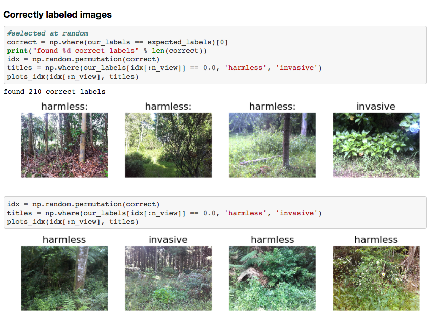
source: fast.ai
Nano Satellites
- Still very new
- Relatively inexpensive compared to regular satellite launch
- Hyper Spectral (over 200 bands) with good spatial resolution
- Can collect data for any area on the Earth's surface. (eg. provincial park)
- Can help with early detection of invasive species.
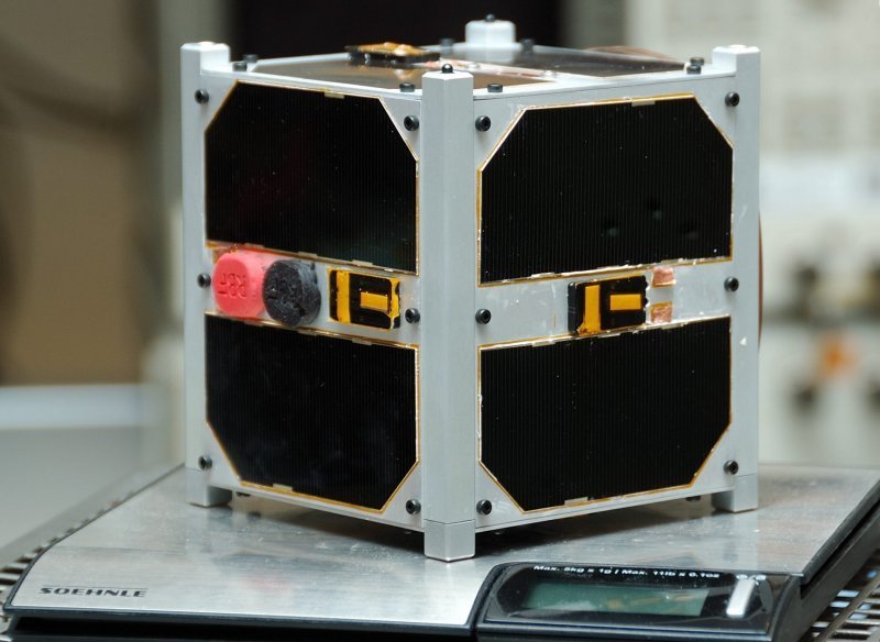
ESTCube-1 1U CubeSat
Source: Wikipedia
Facts as of October 28, 2018
- Nanosats launched: 966
- CubeSats launched: 878
- Interplanetary CubeSats: 2
- Nanosats destroyed on launch: 86
- Most nanosats on a rocket: 103
- Countries with nanosats: 58
- Companies in database: 323
- Forecast: over 3000 nanosats to launch in 6 years
source: https://www.nanosats.eu/
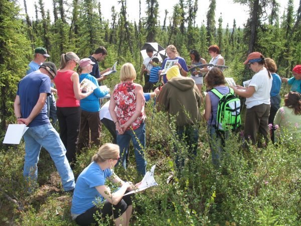
Citizen Science
- enables scientists to collect large amounts of data over wide areas at a minimal cost
- enables participants to make a direct contribution to research
- enables researchers to have broader impacts with their science
- Can be coordinated by groups or can be individuals contributing
Questions?
dana.diotte@gov.bc.ca