Maptime MSP
Favorite Resources and Maps
October 27, 2015
#Maptime

Maptime
What is #maptime?
Why do we meet?
Who is #maptime?
How often do we meet?
Cool! Where are they?
P.S. We've been meeting for one year!!


Maptime MSP Update
- Hooray! You're here!
- We're looking for individual and/or corporate sponsors for future events to help us continue running (e.g. MeetUp costs, Stickers!, and other cool/fun things).
Logistics
- Restrooms
- Pizza-a-la-cartoDB
- Tweet w/ us @MaptimeMSP


Tonight's Agenda
Introductions
Consumption of 🍕, and 🌈🎂!
Census Reporter, Mike Dolbow
Census Data Visualizations, Ryan Mattke
NACIS Conference Summary
Introductions
Who are you?
What map, tool, or resource do you ♥ ?
Library of Congress' Historic Maps | JSON Editor and Evaluator Stamen Basemap Maker | Dropchop.io | Google
Twitter | ArcGIS Online Colorbrewer | St. Paul Plat Books
Presentations
- Census Reporter, Mike Dolbow
- Census Data Visualization, GIS Data & Historical Maps, Ryan Mattke
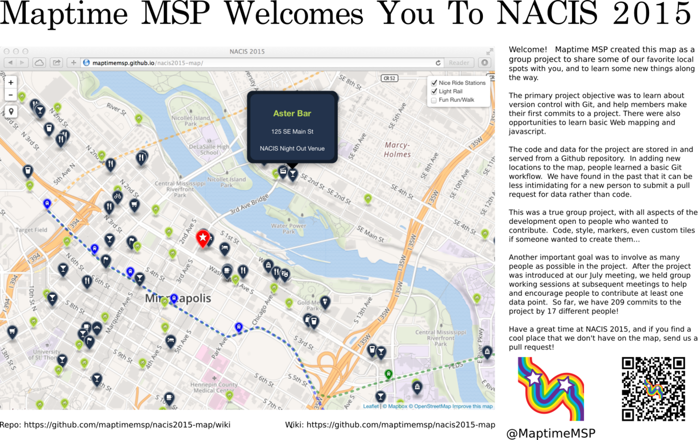
- Interactive map/poster
- Lots of #maptime ♥
- Conference takeaways

Conference Update
Future Maptime Topics
- November 18: Topography/LiDAR (CoCo, Uptown)
- What do you have interest in sharing?
- What do you have interest in learning?
- Tweet us @MaptimeMSP, create a GitHub issue, or leave a message in MeetUp.
- Check out presentations on our website!
