Safer
Better safe than sorry!

Problem Statement
(MapMyIndia API)
It must have happened to you that you are following Google Maps and end up on some short but dangerous path?
More often than not the shortest path suggested by Google Maps leads us to an unknown place.
There are many apps and APIs providing the fastest and shortest route that can be followed from a source to destination, but NO service in India accounts for safety and security along those paths.
Proposed Solution
We propose to provide a platform that takes into account the safety factor along with distance and time.
We provide B2C application for direct use as well as a B2B API that can be integrated with other services and help other platforms to consider their customers about safety.
Implementation
We are proposing a machine learning solution using K-means by training on past crimes data and assigning a danger index to each location and finding the safest path. ( Data source : data.gov.in)
Danger index :
0 - least dangerous
5 - most dangerous
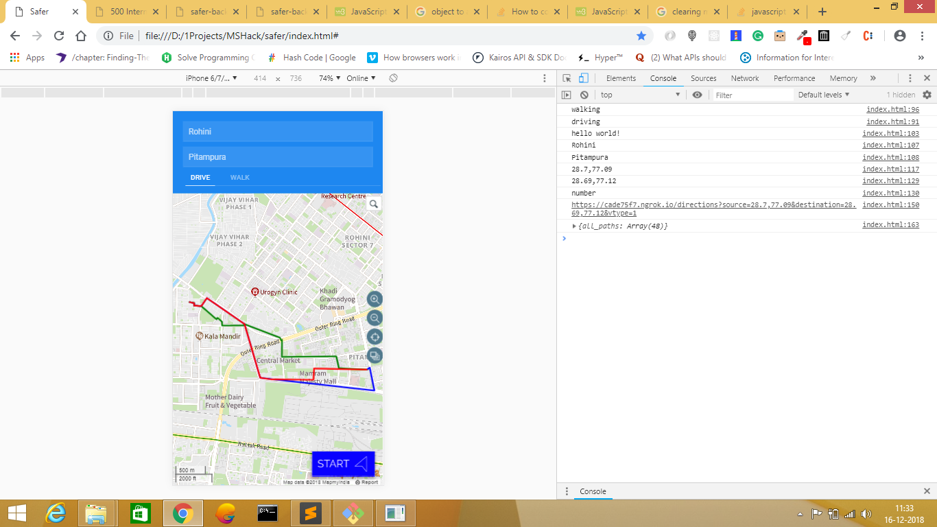
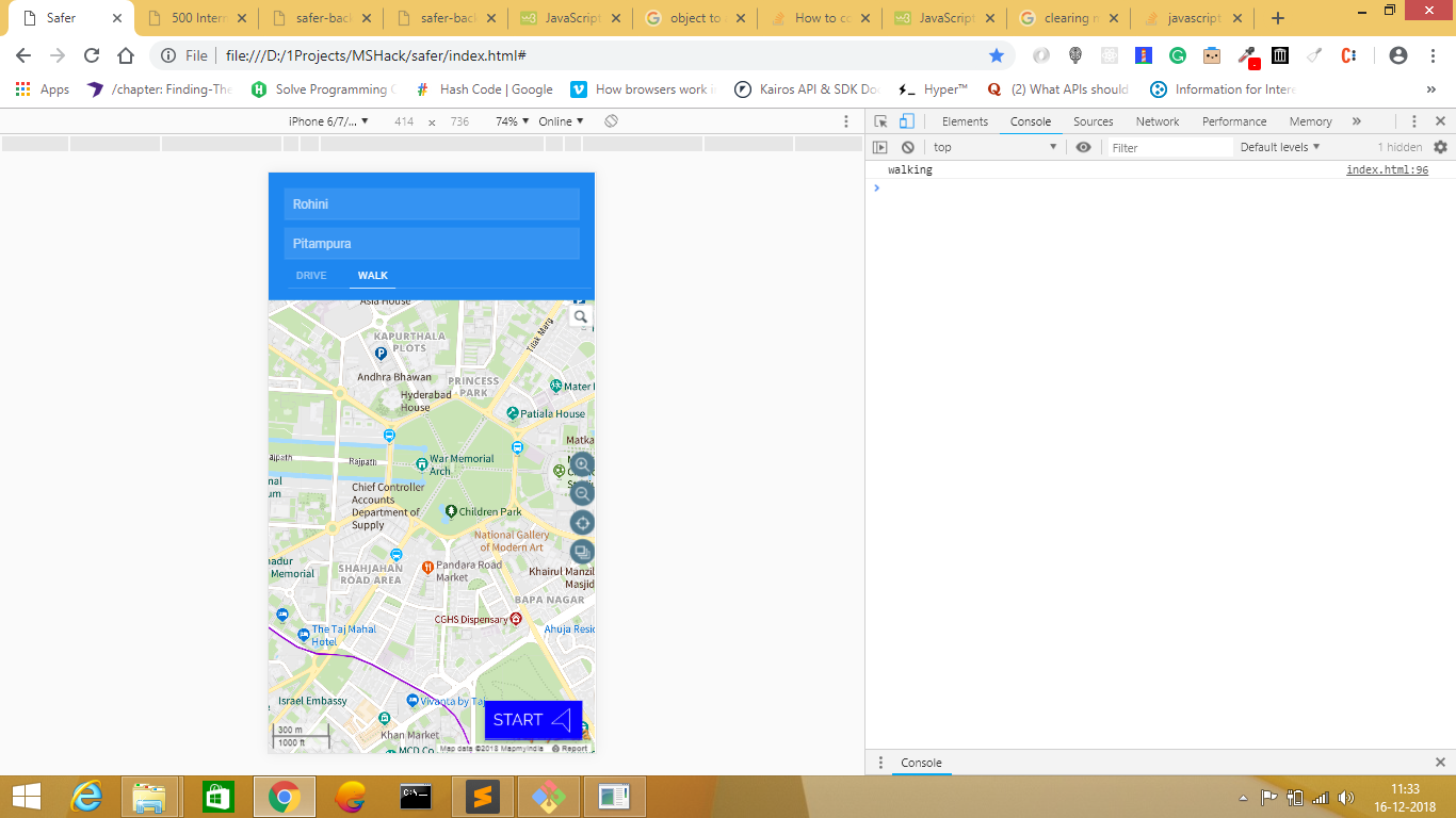
Whenever customer searches for the route, all possible routes are suggested with estimated time to reach and safety index of that route.
Key Features
Easy to use and interactive User Interface
Seamless integration of APIs to other platform
Three possible routes-
Fastest
Safest
Quickest
considering traffic, mode of transport and intermediate via points
Ideal for tourists, youngsters, women and senior citizens
Upcoming Features
Integration with Police database for more reliable
safety index
Real time updated crowdsource data
Thank You!
Contributors: Umang Ahuja
Anmol Goel
Dhruv Bhatnagar
Hemabh Kamboj