Making the Most of Geo Data
Inmarsat Developer Conference 2016
james@geovation.uk
@JamesLMilner
loxodrome.io
James Milner


What is geographic data?
That bar behind the coffee shop on Westferry Road?
An address?
A postcode?
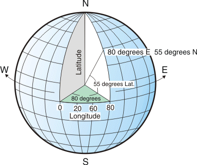
A latitude and longitude?
Easting and Northing?
x and y?
Coordinate Systems
Textual data may be useful in context, but it is not directly plottable on a map
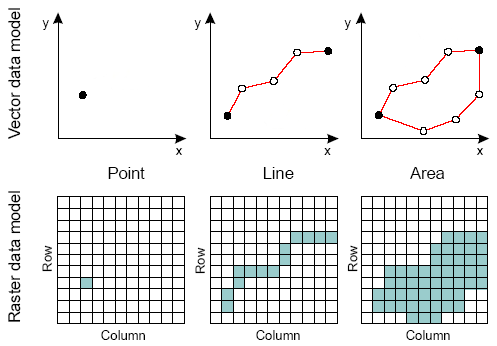
How do we model geographical data?

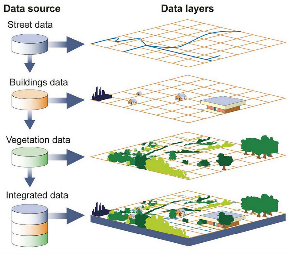
Points: a house, a shop, a postbox, etc
Lines : Roads, Rivers, Paths etc
Polygons: fields, parks, lakes etc
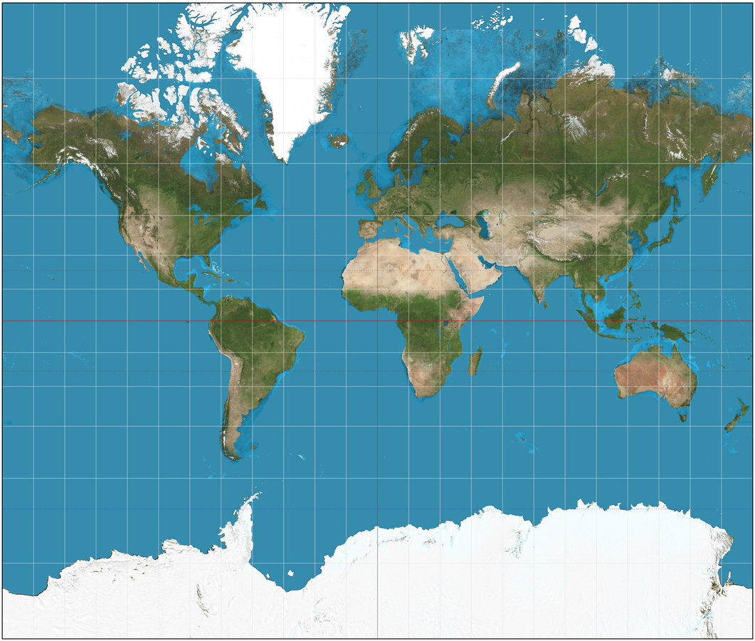
Raster to Vector
Storing and Retrieving Data
Flat Files
Shapefile
Tabfile
CSV
KML
GML
etc
Databases also play a key role
 SELECT ST_Area(the_geog)/POWER(0.3048,2)
        As sqft, ST_Area(the_geog) As sqm FROM somegeogtable;
Spatial Querying
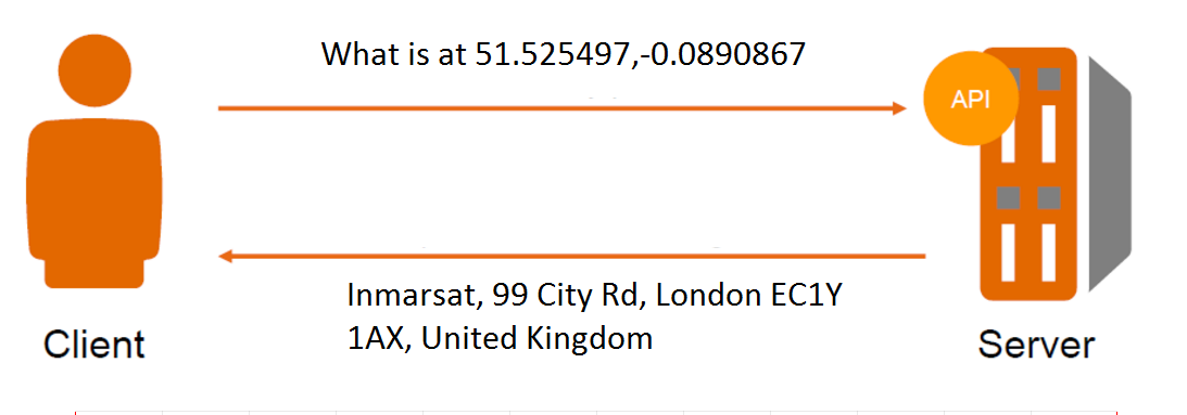
What about serving out data?
OGC Standard Services
Also increasingly we serve and query this data via de facto APIs


Alongside this ~30% of the world will be able to produce & consume geospatial data
That's ignoring machine produced data
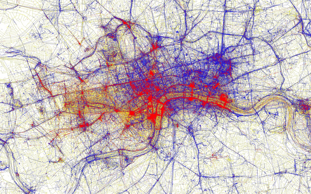
Cell phone networks can produce ~100'000 geo events per second
To put that into perspective, there are around ~6000 Tweets per second globally
Source: Open Signal 2015
OK, so you've got all this data, now what?
Processing
Actually processing data to a useful state can take up a lot of time

Mobile and Web Viewing
What are your mapping framework options?


Hello Map
// ArcGIS JavaScript API
require(["esri/map", "dojo/domReady!"], function(Map) {
  var map = new Map("map", {
    center: [-118, 34.5],
    zoom: 8,
    basemap: "topo"
  });
});
// Google Maps JavaScript API
var map;
function initMap() {
    map = new google.maps.Map(document.getElementById('map'), {
      center: {lat: -34.397, lng: 150.644},
      zoom: 8
    });
}
// Leaflet JS
var map = L.map('map').setView([51.505, -0.09], 13);
var attr = '© <a href="http://osm.org/copyright">OpenStreetMap</a> contributors';

L.tileLayer('http://{s}.tile.osm.org/{z}/{x}/{y}.png', {
    attribution: attr
}).addTo(map);
Some ideas about handling geo data in your apps
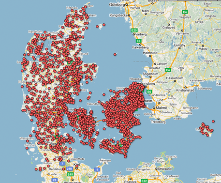
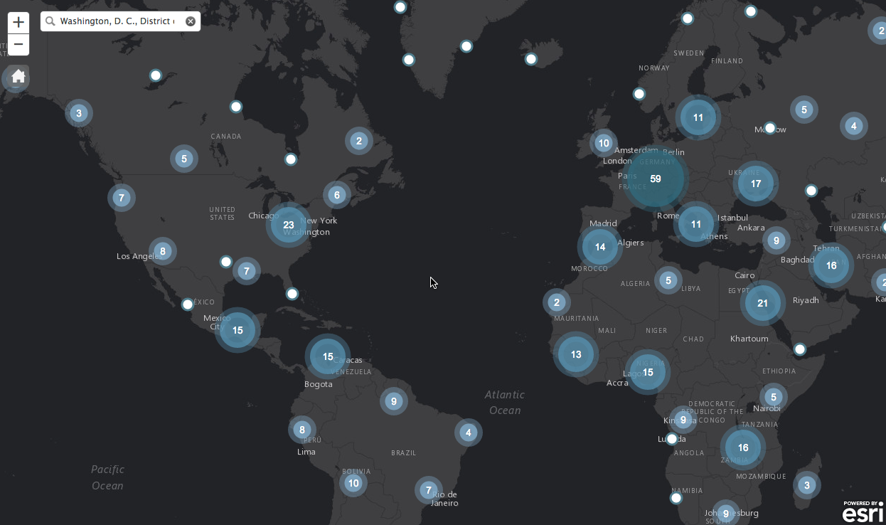
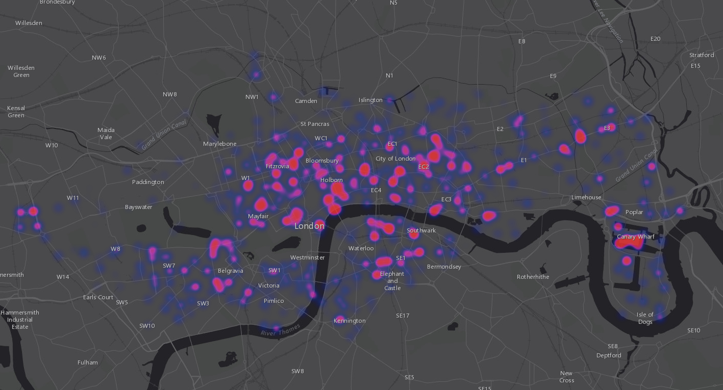
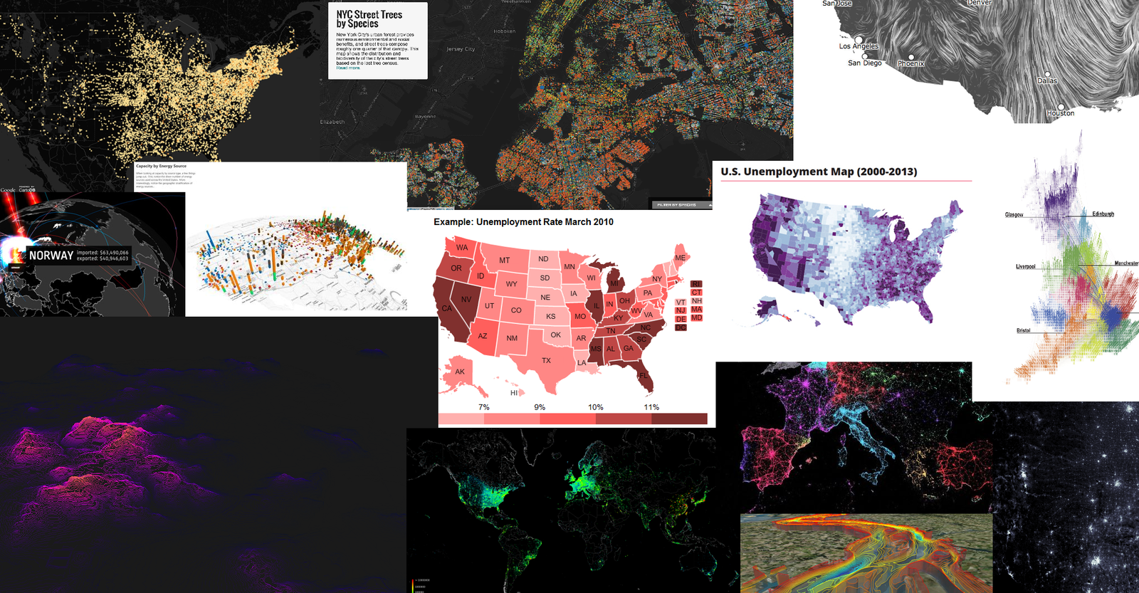
Visualising Points
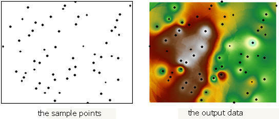
Interpolation
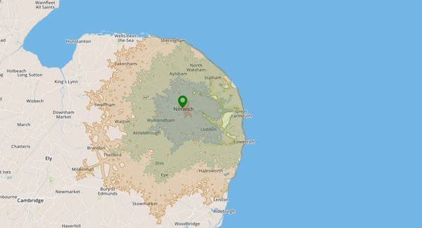
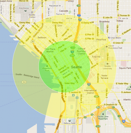
Leveraging Networks
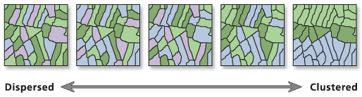
Determining Patterns
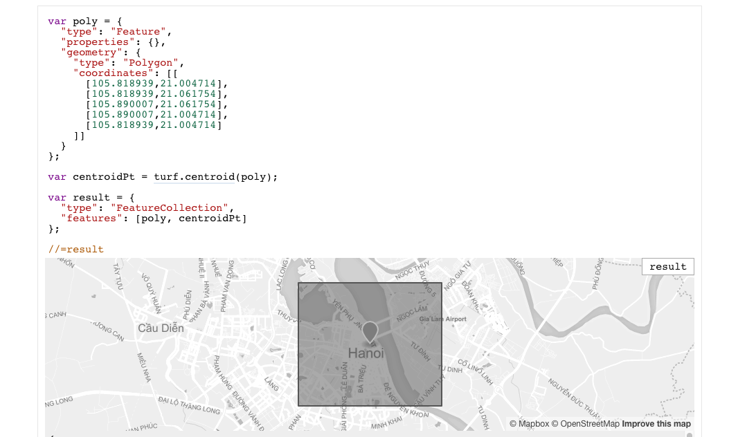
Handling Geometries


Editing Data
3D?
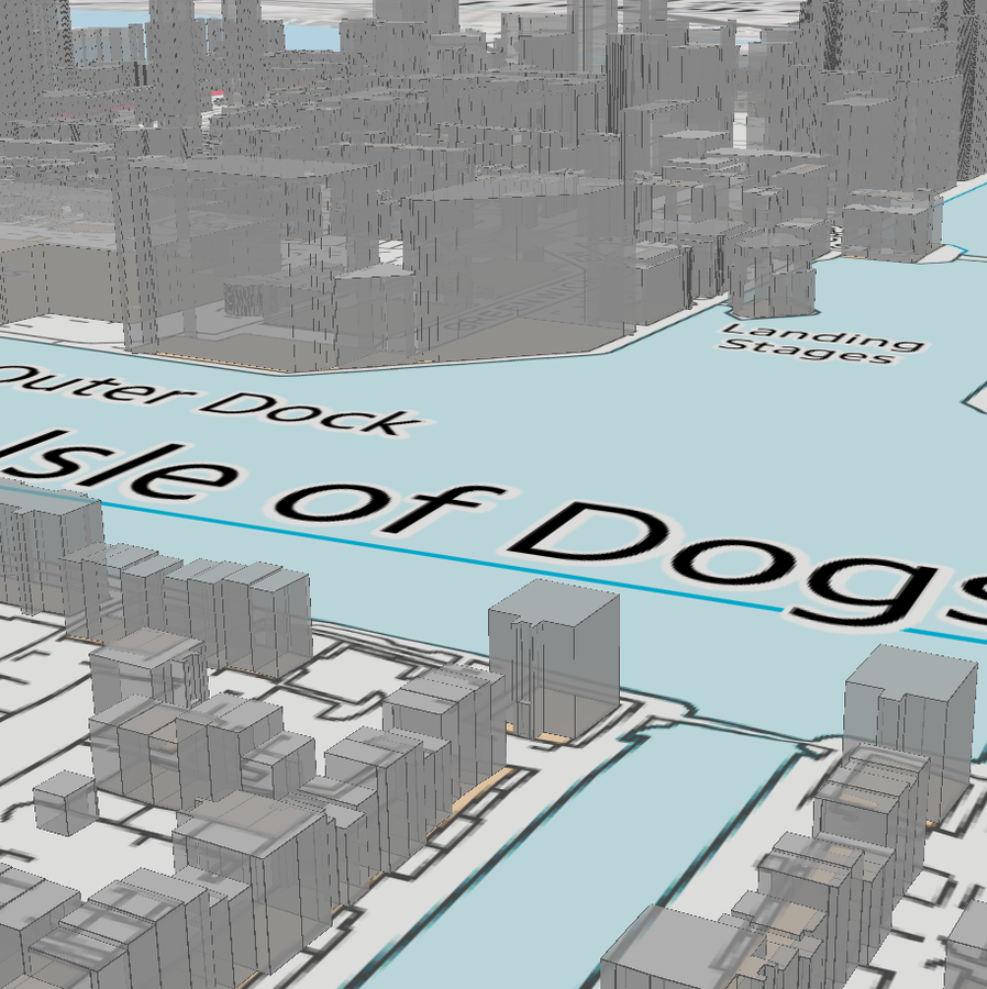
Pros
- Realism
- No distortions (geodesic)
- Opens up new analysis options
Cons
- Expensive to collect data
- GPU intensive
- Less advanced tech
Recap
-
Raster vs Vector
-
Explore OGC services and other options
-
Databases: Relational vs NoSQL
-
There's lots of libraries for preprocessing data
-
Explore different web mapping frameworks
-
Explore going beyond points on maps
@JamesLMilner
