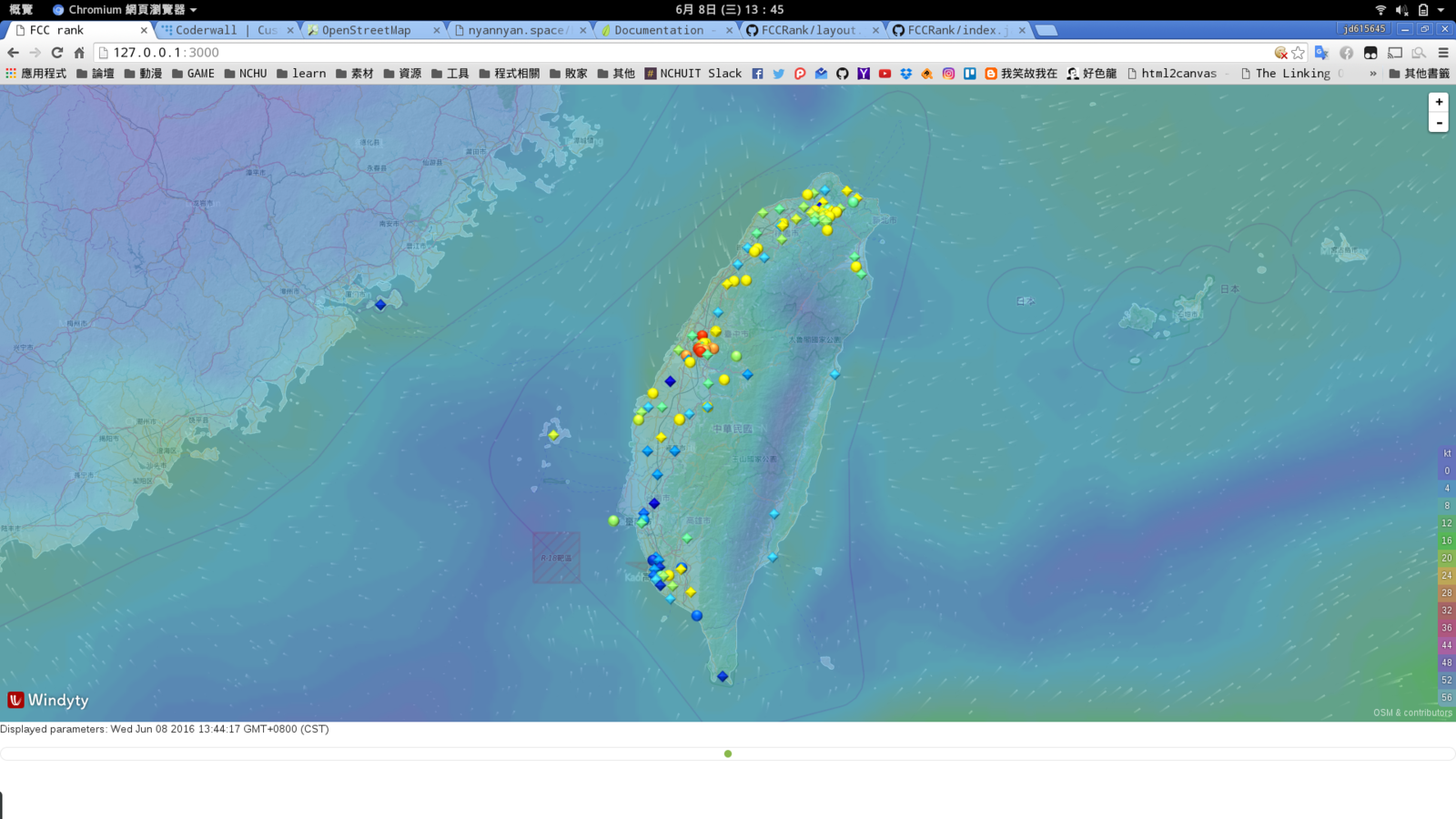
06/08專題報告
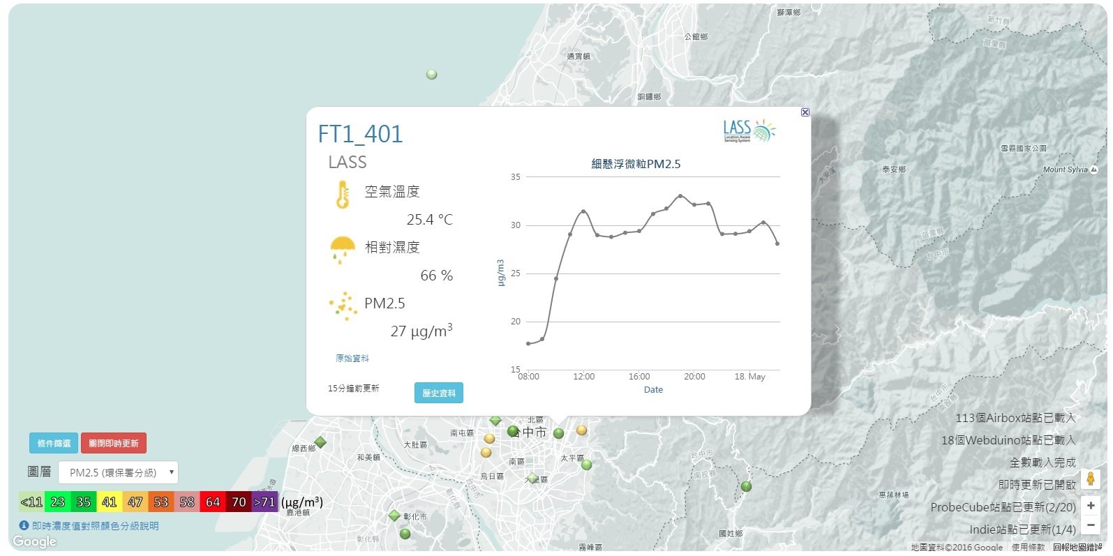
{
  "SiteName": "FT1_391",
  "SiteGroup": "LASS",
  "Maker": "LASS",
  "Data": {
    "Temperature": 32.1,
    "Humidity": 66.5,
    "Dust2_5": 44,
    "Create_at": "2016-06-08T05:20:06Z"
  },
  "LatLng": {
    "lat": 24.130994,
    "lng": 120.664453
  },
  "RawData": {
    "gps_lat": 24.130994,
    "gps_num": 9,
    "s_t0": 32.1,
    "SiteName": "FT1_391",
    "timestamp": "2016-06-08T05:20:06Z",
    "gps_lon": 120.664453,
    "s_d0": 44,
    "s_d1": 52,
    "s_h0": 66.5,
    "device_id": "FT1_391"
  }
}
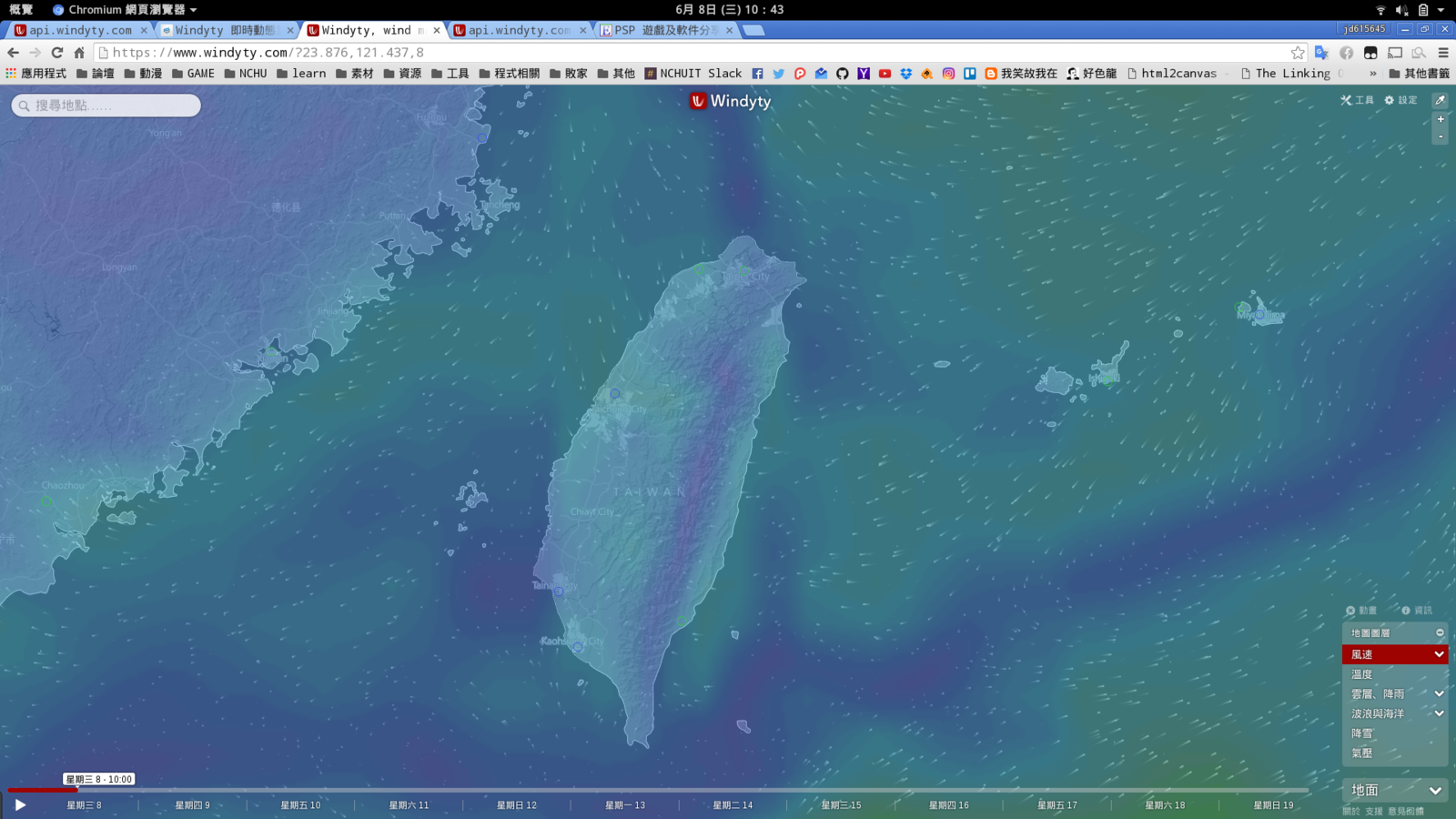
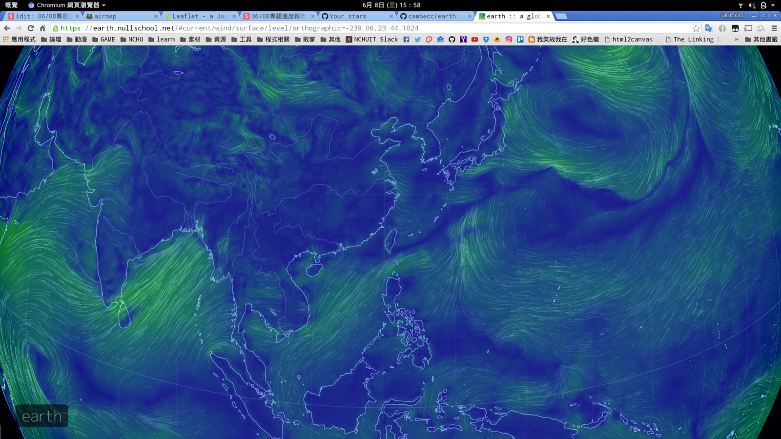
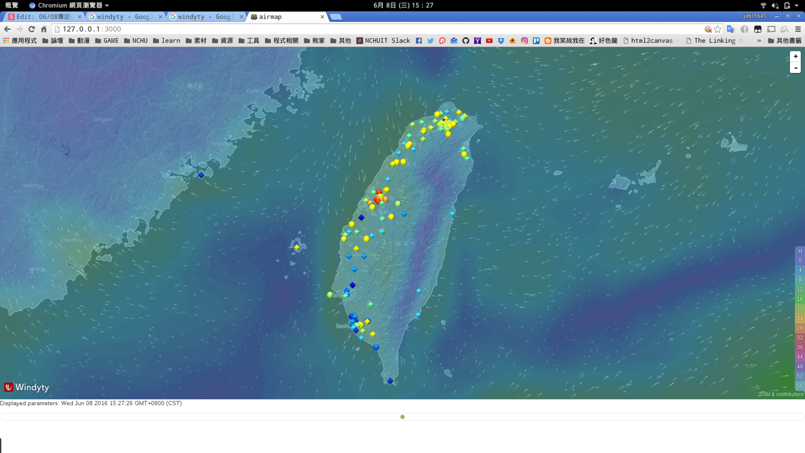
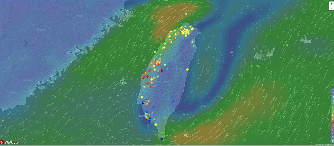

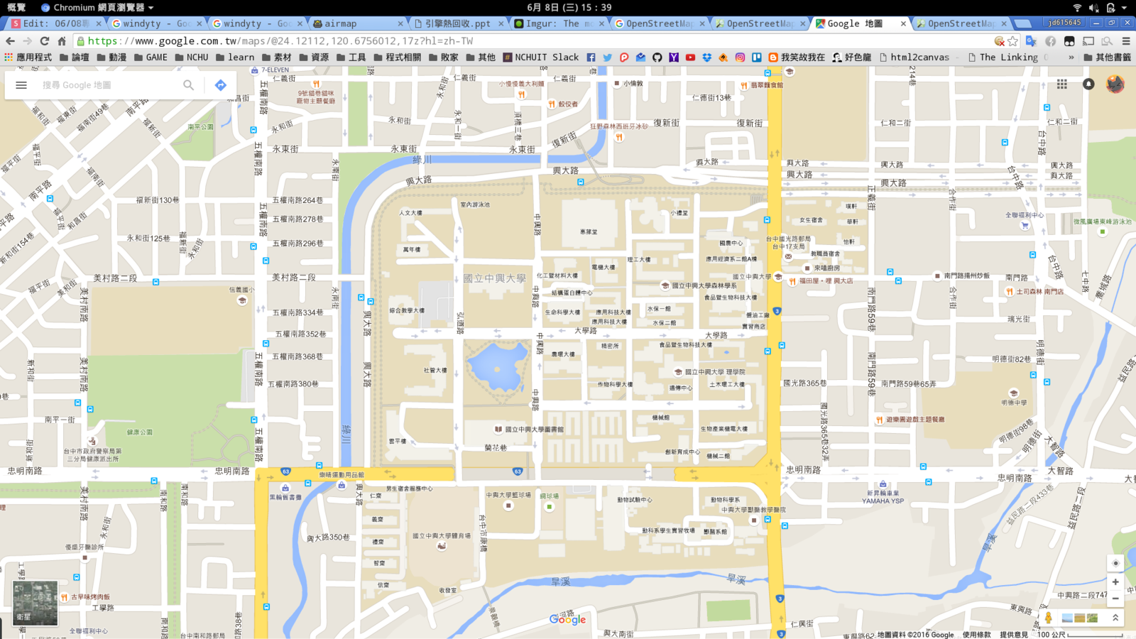
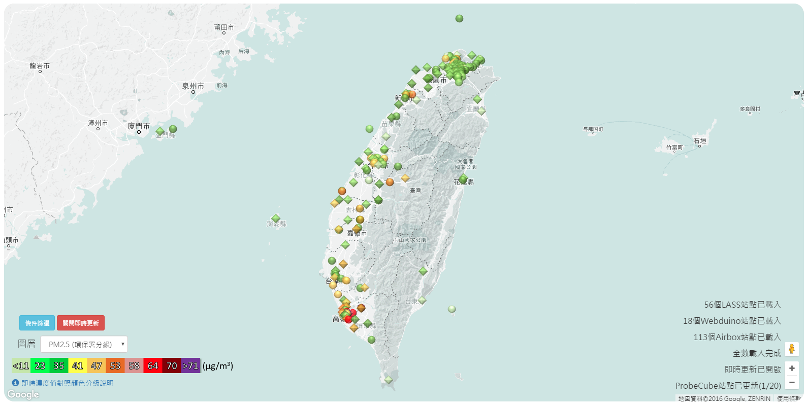
Google Map
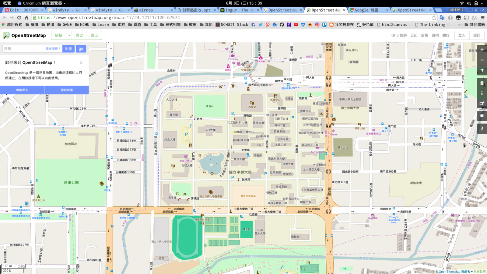
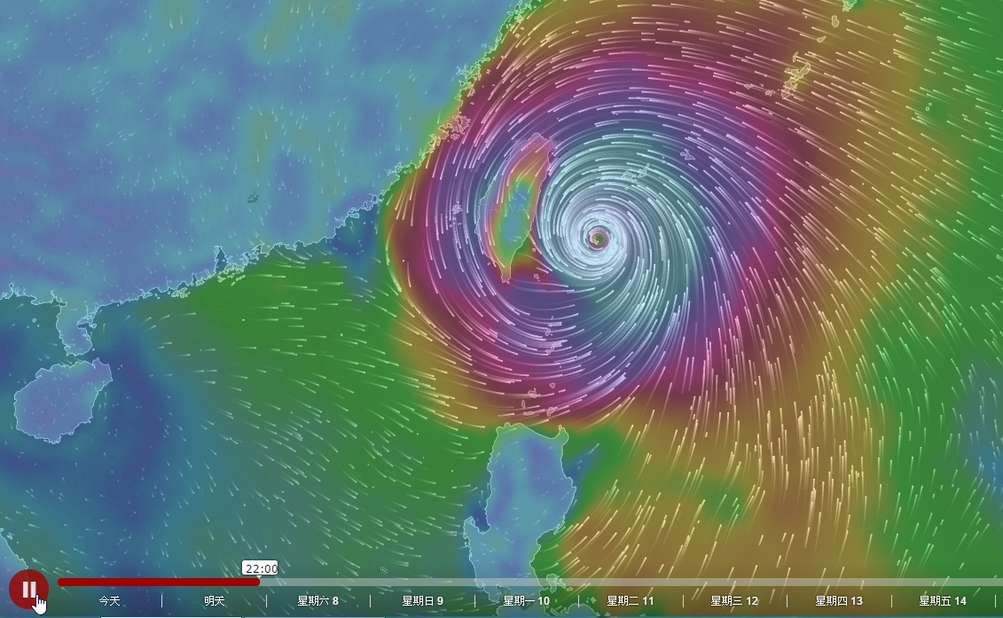
Openstreet Map
var map = L.map('map').setView([51.505, -0.09], 13);

L.tileLayer('http://{s}.tile.osm.org/{z}/{x}/{y}.png', {
    attribution: '© <a href="http://osm.org/copyright">OpenStreetMap</a> contributors'
}).addTo(map);

L.marker([51.5, -0.09]).addTo(map)
    .bindPopup('A pretty CSS3 popup.<br> Easily customizable.')
    .openPopup();