My Research Goal
To map tweets related to trails and gardens to explore proximity to local Duluth Community Gardens.
My Questions...
- What tweet mapping has been done before?
- How to I get the tweets?
- What can I do for free?
- What, when, & where the heck to search?
- How should I track my "research" fun to share with you?
What's been done before?
- Twitter Python & REST API Guides
- Plethora of Tweets Web Maps
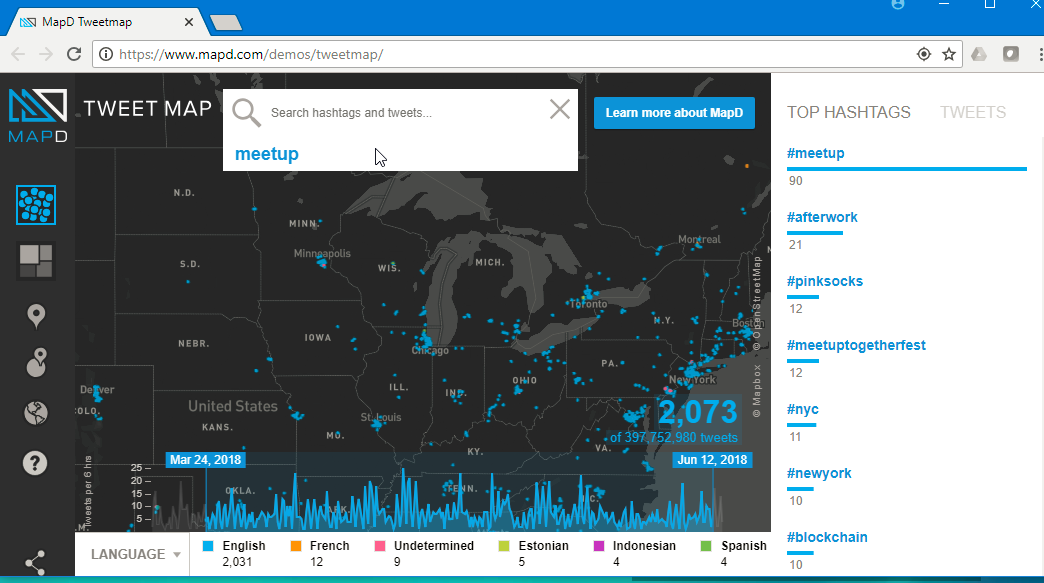
MapD Tweetmap
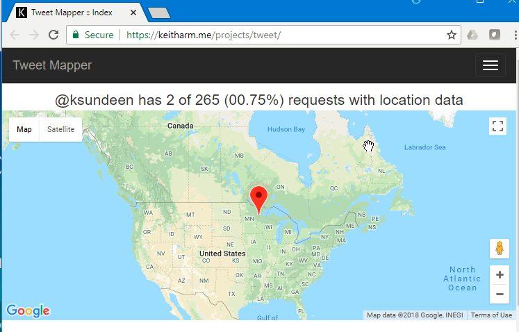
Tweet Mapper
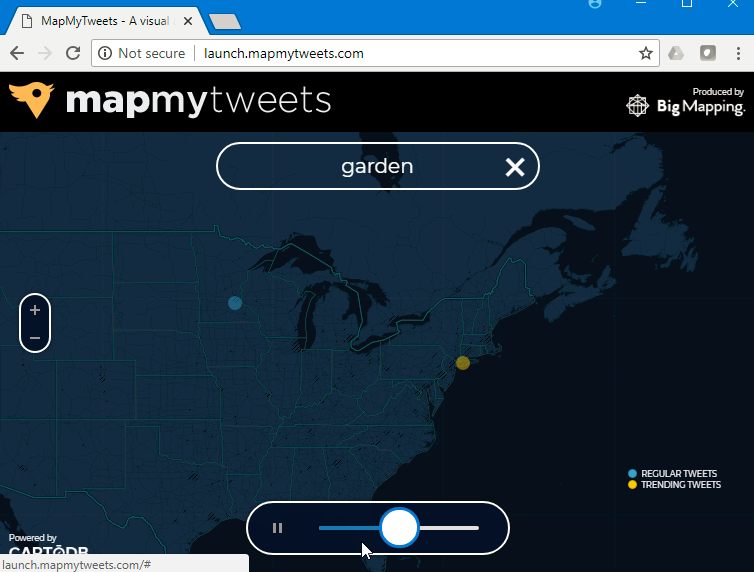
mapmytweets
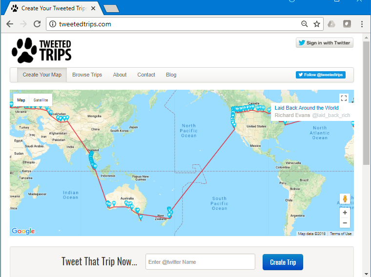
**Tweeted Trips**
How to I get the tweets?
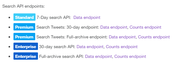
- Twitter's REST/Python API (see Notebook references)
- I'm cheap...so I get 7 days free
Simple Python Program

The output
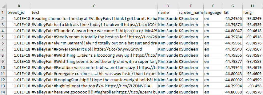
- Has lat/long (now)
- Easily added to maps in:
- Google Maps (kml)
- Esri products
- Other js APIs (e.g., leaflet)
How should I track my "research" fun to share with you?
- A blog post...?
- Notepad++..?
- My trusty physical notebook..?
- Jupyter's digital notebook!
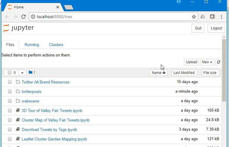
Jupyter Notebooks
- Stored locally
- Shareable notebooks (*.ipynb) for multiple python versions
- Simple to learn markup language
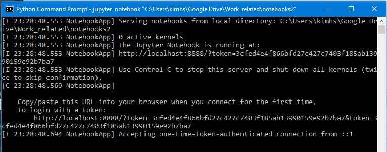
Local Setup
- Install jupyter (I used ArcGIS Pro, conda for environment management as alternative to pip)
- Linked folders to my Google Drive (or could be github)
- Edit system environmental variables to point to correct python env! (I have 2.7 and 3.6)
- Start kernel in a local folder
Title Text
- Bullet One
- Bullet Two
- Bullet Three
Twitter Mapping Demo
- Start my notebook
- Viewing the csv data
- Mapping in Esri's ArcGIS Online arcgis API
- Mapping in Leaflet.js with folium lib
- Or upload/try hosted notebooks