GIS & East Porterville Water Project
Jason Biagio
GIS Manager/Administrative Analyst II
City of Porterville


Housekeeping
- What is GPS and GIS and why do I need to know about them?
- Practical Application - East Porterville Water Project
- Next steps...
- Questions???
GPS
Global Positioning System is a 24-satellite navigation system placed in orbits at about 3.75 times the radius of the Earth, which provides location and time information in all weather conditions, anywhere on or near the earth where there is an unobstructed line of sight to four or more GPS satellites. The satellites are arranged in six orbital planes with four satellites in each plane.

GPS - cont.
The basis of GPS is "triangulation" from satellites. We're using the word "triangulation" very loosely here because it's a word most people can understand, but purists would not call what GPS does "triangulation" because no angles are involved. It's really "trilateration." Trilateration is a method of determining the relative positions of objects using the geometry of circles, spheres, or triangles. Three satellites and their respective “spherical intersections” determine two possible locations of an object on the earth’s surface. A fourth satellite is used to determine which of the two is the actual point and for time tracking.
To "triangulate," a GPS receiver measures distance using the travel time of radio signals (which travel at the speed of light minus atmospheric interference)

GPS - cont.
GPS enables us to quickly locate, store and track specific places or entities on earth. This allows us the ability to revisit sites or to forecast movements or trends. In terms of weather or emergency events (such as a wild fire), GPS enables researchers or responders to predict developments and act accordingly. In terms of environmental sciences, GPS enables us to track movements (and numbers) of endangered animals in herd, or store a location for future study. Think of GPS as putting a "pin" on your map. GIS brings that map to life.

GIS

GIS
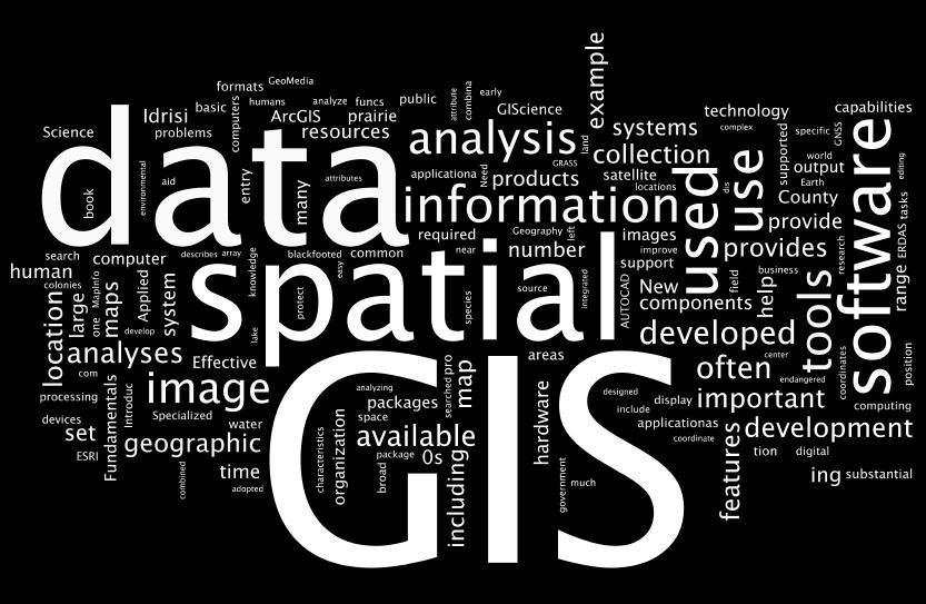
A geographic information system (GIS) lets us visualize, question, analyze, and interpret data to understand relationships, patterns, and trends.
GIS benefits organizations of all sizes and in almost every industry. There is a growing interest in and awareness of the economic and strategic value of GIS.
- Better Decision Making (proactive vs. reactive)
- Improved Communication (visuals break down verbal barriers)
- Cost Savings from Greater Efficiency
- Provides a means of combining data from several sources in a meaningful, easily understandable way.
Practical Application
Outline Problem: (East Porterville Emergency Water Project) [text taken from DWR website]
June 2016 California’s five-year drought has created hardship across the state, but nowhere have impacts been more severe than in Tulare County, often called “ground zero” of the drought. From the beginning of Water Year 2012 through April 2016, the Tulare Basin received just 56 percent of its average annual rainfall over the past 50 years. Private wells that were the only source of water for hundreds of East Porterville homes are dry due to the drought, and wells that can still draw water are likely below drinking water standards due to groundwater nitrates contamination.
Several State agencies are working with Tulare County local governments on an emergency water supply project to provide drinking water to homes in East Porterville, an unincorporated community where numerous private water wells are not usable because they either are contaminated or have gone dry during California’s drought. Homes without a sustainable supply of safe drinking water have received water deliveries under an emergency Household Tank Program since 2014. A new water distribution system is being designed that will connect East Porterville residences without usable water to a City of Porterville well with existing water distribution lines for some residences or new pipes that will be laid along East Porterville streets.
Approximately 1,800 properties will benefit from this permanent water solution and eventually will be annexed to the City of Porterville, with the State paying connection costs for homes whose owners agree at the outset of the project to the terms and conditions of an Extraterritorial Service Agreement. The project will begin connecting 500 homes this summer, and the remaining 1,300 residences are scheduled to receive service through the new system by the end of 2017. Three State agencies -- the California Department of Water Resources (DWR), the Governor’s Office of Emergency Services (OES) and the State Water Resources Control Board (SWRCB) -- are working collaboratively along with local government to ensure a water conveyance system is in place to serve residents currently without safe and reliable drinking water.
Next steps; how to track and plan for resolution?
Traditional Approach
Traditional Approach and shortcomings:
- The traditional approach would most likely include the development of a spreadsheet or database to track residences that are without water, something like so:

This is great but does not give us a “picture” of the larger problem or enable us to see trends. For instance, if you were a resident in East Porterville and your neighbor’s well ran dry, chances are that your well will run dry soon as it draws from the same water source. With tabular data it is very difficult to see this in action. Let’s see if GIS can help us out.
Traditional Approach - cont.
Strengths:
- Basis for any project. The database (or spreadsheet) provides you with the foundation for addressing the problem.
- Provides an initial baseline for issues to be addressed
- Generally easily to develop.
- Can be imported into GIS.
Shortcomings:
- Not easily communicated (requires knowledge or familiarity with data set)
- Very very very slow. Did I mention it's very slow?
- Nearly impossible to derive any pattern or trend based solely on database entries (ramifications not easily understandable or readily apparent)
- Not actionable (by itself). Having records is not the same as having a plan or response to a problem.
- Many, many more...
GIS Approach
Problem Solving with GIS and advantages (visualizing greatest need, trends, forecasting, efficient response…etc.)

GIS - cont.
Strengths:
- A means of combining several sources of information based on location.
- Trends and patterns become readily apparent through data visualization.
- Easier to read than a database or static map but provides the same (if not more) information.
- Data can be explored or analyzed in "real-time"
- Ties together data collection, data analysis, and problem response.
Shortcomings:
- Content creation/analysis software can be expensive (free open-source alternatives are available however).
- Software can be somewhat cumbersome to use.
- New technologies require additional focus and attention (and maybe additional training) as it is still (even after 30+ years) a rapidly grown technological segment.
- You are never "done" learning. Anyone who states they are an "expert" is obviously not.
GIS - cont.

GIS Approach - cont.
The red dots represent “geocoded” failed well locations. Geocoding a way of interpolating geographic location based on address to yield a lat/lon point, the same lat/lon used in the GPS system. You can see much more clearly that East Porterville is in need of help. Do you notice any other trends?

GIS Approach - cont.
A "heatmap" is another way to visualize trends. This should look familiar if you've ever followed the weather. Generally speaking, blue is relatively mild (few outages) whereas yellow-orange-red coloring would indicate more severe conditions (many outages). The main "grouping" of failed wells occurs in East Porterville.

GIS Approach - cont.

GIS Approach - cont.

East Porterville Water Project

Closing & Next Steps...
We briefly covered GPS & GIS in broad strokes to introduce you to the technologies that will continue to help serve Environmental Sciences (and just about any other discipline) moving forward into the future.
We have only scratched the surface as to what GIS can do and its usefulness with visualizing a problem.
It is my hope that this knowledge may inspire you to purse more understanding of GIS and leverage its capabilities in your various pursuits.
Thank you for your attention and thoughtful comments.
If you would like more information, kindly email me at jbiagio@ci.porterville.ca.us and I will answer your questions
as thoughtfully and thoroughly as possible.
We will now spend some time with "live" web maps so you can see GIS in action!
