Web Maps from Scratch
This is a live streamed presentation. You will automatically follow the presenter and see the slide they're currently on.
This is a live streamed presentation. You will automatically follow the presenter and see the slide they're currently on.
Ohio URISA GIS Education Series 2017 Workshop
"An Introduction to Leaflet, GitHub & Jekyll"
Malcolm Meyer, OVRDC
Jesse Glascock, Pirme 3SG
Jon Woyame, Prime 3SG
Considerations for Web Maps
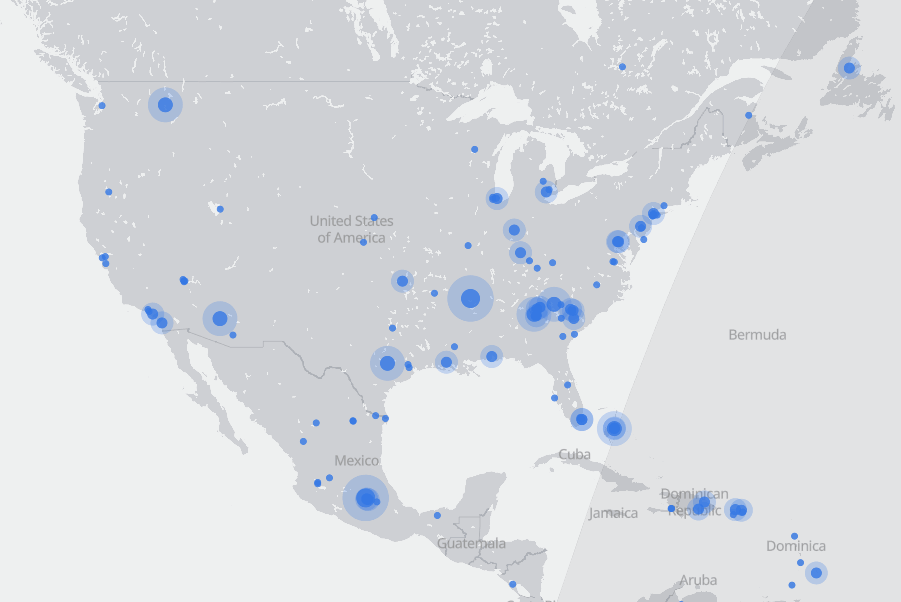
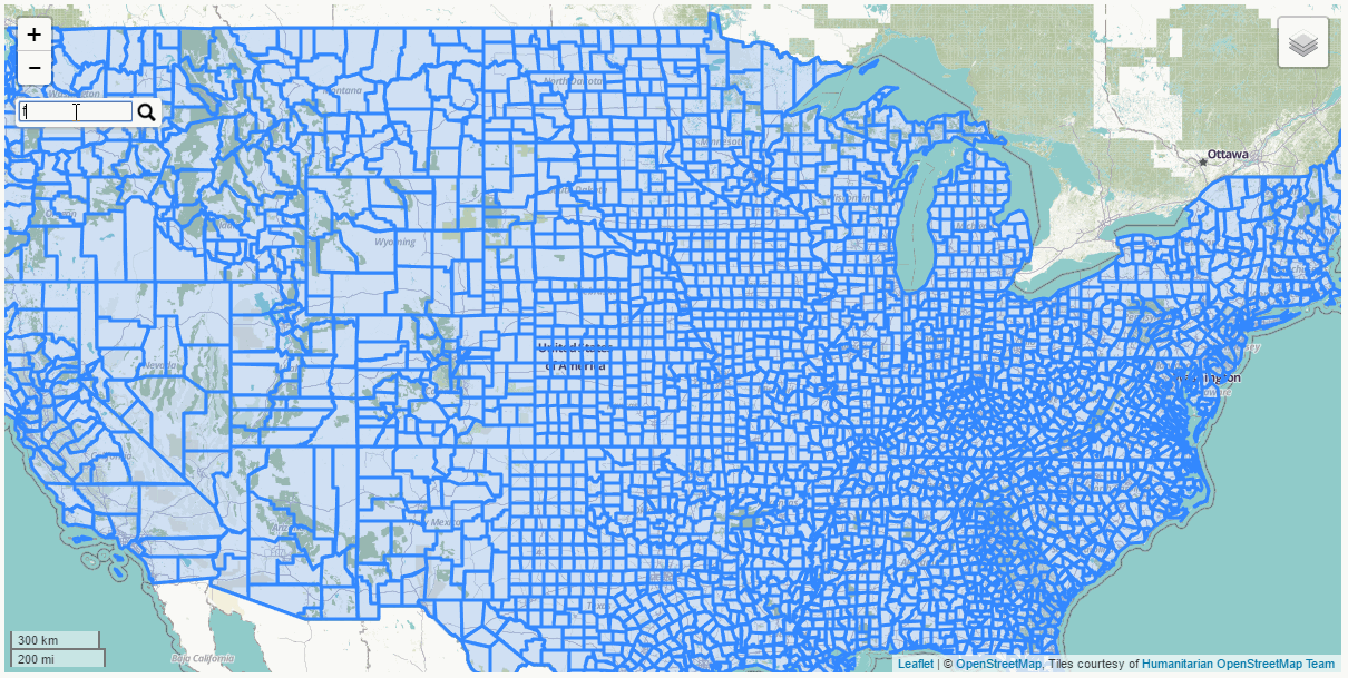
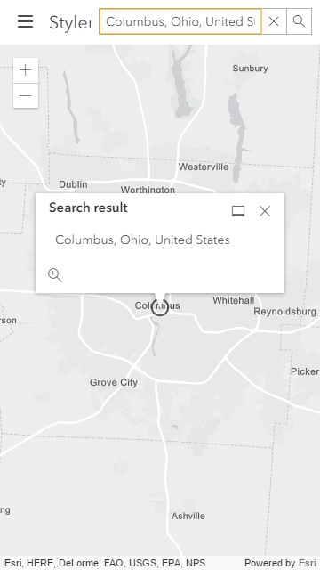
Live Examples
Make a Map! - ovrdc.github.io/gis-tutorials
Jekyll Intro (Video)
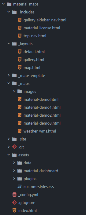
Map Templates
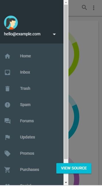
Example based on Google's Dashboard Template
JavaScript web mapping API created in 2011 by Vladimir Agafonkin of Cloudmade (now with Mapbox).
Leaflet 1.0.3 was released in January 2017
Commerce City plow tracker https://snowtrooper.c3gov.com/
Franklin County election results
http://vote.franklincountyohio.gov/elections
Middlesex County demographics
http://gis.prime3sg.com/middlesex/demographics2
HTML, CSS & JavaScript
No GUI
Limitations for Rendered Data (GeoJSON, TopoJSON, etc)
Layer Indexing, Layering & Layer Control Limitations
Develop Templates Jekyll/Node JS
Expand Internal Knowledge
Focus Web Apps or use Hosted Data (Esri, Mapbox, CARTO)
Use a Plugin or use a Custom Layer Control
Programming Language for the Web and Beyond
What JavaScript looks like
<--
 { "type": "FeatureCollection",
    "features": [
      { "type": "Feature",
         "geometry": {
           "type": "Polygon",
           "coordinates": [
             [ [100.0, 0.0], [101.0, 0.0], [101.0, 1.0],
               [100.0, 1.0], [100.0, 0.0] ]
             ]
         },
         "properties": {
           "prop0": "value0",
           "prop1": {"this": "that"}
           }
         }
       ]
}<html>
<head>
<title>Leaflet Map Intro</title>
<meta charset="utf-8" />
<meta name="viewport" content="width=device-width, initial-scale=1.0">
<!-- Leaflet -->
<link rel="stylesheet" href="_leaflet/plugins/leaflet/leaflet.css" />
<script src="_leaflet/plugins/leaflet/leaflet.js"></script>
<!-- Plugins -->
<style>
body,html {height:100%;width:100%;margin:0;}
#map {width:100%;height:100%;background:whitesmoke;}
</style>
</head>
<body>
<div id="map"></div>
<script>
/*Our Leaflet Map Here*/
</script>
</body>
</html>var map = L.map("map");
map.setView([40.3,-96.6], 5);
L.hash(map); //plugin
L.control.scale().addTo(map); //built-in function
//built-in function
var layerControl = L.control.layers().addTo(map);Text
Text
/*Easily add basemaps or baselayers with L.tileLayer
WMS layers can also be added with L.tileLayer.wms */

var tileUrl = 'https://{s}.tile.openstreetmap.fr/hot/{z}/{x}/{y}.png';
var attribution = '© OpenStreetMap, Tiles courtesy of Humanitarian OpenStreetMap Team';

var OpenStreetMap_HOT = L.tileLayer(tileUrl, {
  maxZoom: 19,
  attribution: attribution
}).addTo(map);

layerControl.addBaseLayer(OpenStreetMap_HOT, "Streets");// Load data with leaflet-omnivore, then add it to
// our empty counties layer
var url = "tutorial-data/counties.topojson";
var counties = L.geoJson().addTo(map);
layerControl.addOverlay(counties, "Counties");
var cData = omnivore.topojson(url, null, counties);var counties = L.geoJson(null, {
style: function(feature) {
switch(feature.properties.winner) {
case "Trump": return {fillColor: "red"}
default : return {fillColor: "blue"}
}
},
onEachFeature: function(feature, county) {
var info = county.feature.properties.NAME +
"<br>" + county.feature.properties.winner;
county.bindPopup(info);
}
});var url2= "tutorial-data/airports.geojson"
var aStyle= {
color: "black",
radius: 5,
weight: 0,
fillOpacity: 1,
pane: "markerPane" };
var airports = L.geoJson(null, {
pointToLayer: function(feature, latlng) {
return L.circleMarker(latlng, aStyle)
}
}).addTo(map);
var aData= omnivore.geojson(url2, null, airports);// Once our county data is loaded,
// add search functionality using
// leaflet-search with default settings
cData.on("ready", function() {
var searchControl = new L.Control.Search({
layer: counties,
propertyName: 'NAME'
}).addTo(map);
});var choropleth;
cData.on("ready", function() {
choropleth = L.choropleth(cData.toGeoJSON(), {
valueProperty: "POP_SQMI",
scale: ["white","#006d2c"],
steps: 7,
mode: "q",
style: {color: "#fff",weight: 1,fillOpacity: 0.9},
onEachFeature: function(feature, county) {
var name = feature.properties.NAME;
county.bindTooltip(name);
}
}).addTo(map);
});*legend code not shown in previous page
var airportJson;

aData.on('ready', function() {
    aData.toGeoJSON();
    airportJson = aData.toGeoJSON();
});

var highlightStyle = {
    color: "goldenrod",
    fillColor: "goldenrod",
    opacity: 1,
    fillOpacity: 1,
    pane: "markerPane"
}

var highlight = new L.geoJson(null, {
    pointToLayer: function(feature, latlng) {
	return new L.circleMarker(latlng, highlightStyle)
    }
}).addTo(map);

counties.on("mouseover", function(e) {
    highlight.clearLayers();
    var selLayer = new L.geoJson(e.layer.toGeoJSON());
    var within = turf.within(airportJson, selLayer.toGeoJSON());
    highlight.addData(within);
});hovering over a county highlights the points inside that county
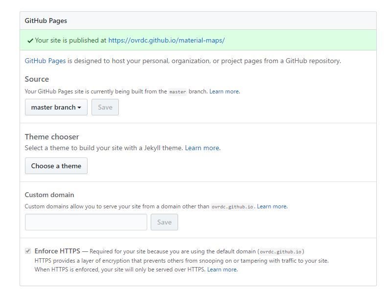
GitHub is a code hosting platform for version control and collaboration. It offers free web hosting for small projects and has built-in support for Jekyll and GeoJSON.
Jekyll is a "simple, blog aware, static site generator", based on Ruby, with Markdown support. Jekyll uses the Liquid templating language and yaml for config files.
Free Hosting!!
Raw HTML, CSS & JavaScript
Jekyll Sites
Built-In Themes
Third-Party Integration
Editable by Multiple Users
Limited Size & Capacity on Free Accounts
Free Repositories are Public
Mobile
First
Design
mmeyer@ovrdc.org
jglascock@prime3sg.com
jwoyame@prime3sg.com