Geoposition with Elasticsearch
Philly ES Meetup - Nov 2014


What is this stuff?
node.js
server-side event-driven javascript
postgres
classic row-based SQL server
elasticsearch
full-text search using Apache Lucene
... supports geospatial queries!
Data
scraped from instagram.com
Official API endpoint for geolocation based search:
https://api.instagram.com/v1/media/search?lat=48.858844&lng=2.294351
Response:
Go look at downloadInstagram.js and centroids();
Kibana
Maps
leaflet.js
open-source JS library for interactive maps
- Handles base-layers
- Support for tiled raster layers (Anything > 100k elements)
-
Plays nice with d3.js for interactive SVG elements
Maps
Originally we used SVG elements for every dot on the map. Looked awesome, but ran the browser into the ground.

Maps
Instead, rasterize all the dots and use a tile server to load the correct data at run-time.
psql -c "SELECT latitude, longitude FROM instagram" -F , -t -o instagram.csvCheck out https://github.com/ericfischer/datamaps for multi-core rendering solution. Can still be really slow, future work is to parallelize across machines.
Go look at demo. NO PEEKING AT COOL ELASTICSEARCH FEATURES YET.
Elasticsearch
Yank everything out of postgres and stuff it into elasticsearch
It's important to setup your mapping ahead of time to accommodate geo-position queries:
properties: {
  geo: {
    type: "geo_point",
    lat_lon: true,
    fielddata: {
      format: "compressed",
      precision: "1cm"
    }
  }
}Query
You MUST query in the same geo-format as your data (bug?)
{
  size: 10000,
  "query" : {
    "match_all" : {}
  },
  "filter" : {
    "geo_distance" : {
      "distance" : "100m",
      "distance_type": "plane",
      "geo" : [e.latlng.lng,e.latlng.lat]
    }
  }
}
What's going on?
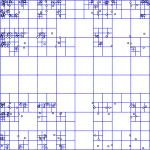
Multiple strategies available in Lucene:
BoundingBox, Quadtrees, SpatialPrefixTree
For points, elasticsearch just uses a simple boundingbox strategy. Lots of room for improvement here actually.
For shapes, elasticsearch uses either a geohash strategy (if your data fits) or quadtrees.
Geospatial or Fulltext search
Check out search.js and show Demo
Thanks!
Arqball (computer vision kung-fu):
http://arqspin.com
Knollop (online education search):
http://knollop.com
Learnstream (link curation and sharing):
http://learnstream.com
Michael Holroyd
http://meekohi.com