Maps at the
Berliner Morgenpost
@moklick
morgenpost.de/interaktiv
Election Map 2013
Specifications? Formats?!
{"polys":[["01100",[13.3658,52.5357],[13.3679,52.5366],
[13.3685,52.5359],[13.3734,52.5382],[13.374,52.5377],
[13.3749,52.5373],[13.3747,52.5371],[13.3761,52.5361],
[13.3794,52.5369],[13.3808,52.5352],[13.3784,52.5343],
[13.3802,52.5328],[13.374,52.5305],[13.372,52.5325],
[13.3717,52.5331],[13.3702,52.5343],[13.3691,52.5338],
[13.3685,52.5332],[13.3683,52.5333],[13.3658,52.5357]],
["01101", ... ]}
Rents Map
Rents Map on Github!
github.com/berlinermorgenpost/mietkarte
Open Source under MIT Licence

Flight Paths Map
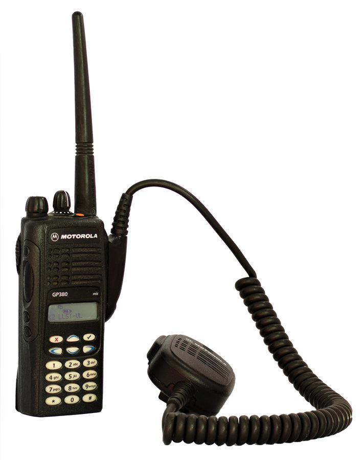
Talkies FTW!

Tempelhof 3D Map
Collaboration project with OKFN/Codeforde
3D Map Libraries
- MapboxGL
- Vizicities
- OSM Buildings
- Tangram
- Cesium
Berlin Soccer Teams Map
German Soccer Teams Map
Fall Of The Wall Map
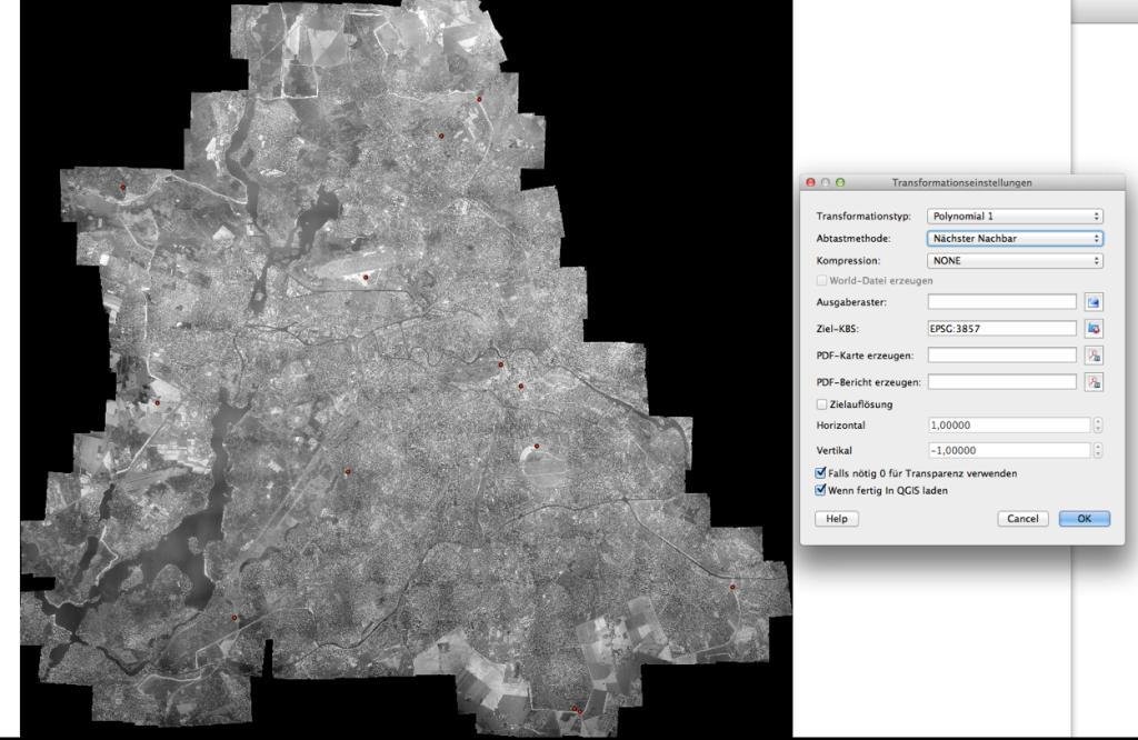
From 700 TIFS
to an interactive map
- Stitch 700 tif files
- Georeference big picture
- Import to Tilemill
- Export MBTiles
- Upload to Mapbox

From 700 TIFS
to an interactive map
Native and New Berliners Map
European Population Map
How To Create Such A Detailed Map
DDJ Catalogue
Thank you for your attention.
moritz@webkid.io