Points, Lines, Polygons & Pixels: Spatial Data 101
This is a live streamed presentation. You will automatically follow the presenter and see the slide they're currently on.
This is a live streamed presentation. You will automatically follow the presenter and see the slide they're currently on.
Points, Lines, Polygons & Pixels
Open a LIVE version of these slides at:
slides.com/staceymaples/spatial101/live
gis.stanford.edu
-Waldo Tobler's 1st Law of Geography
-Stace's 1st Law of Geography
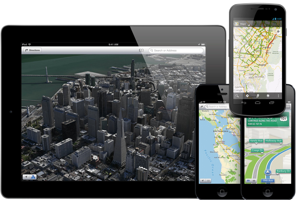
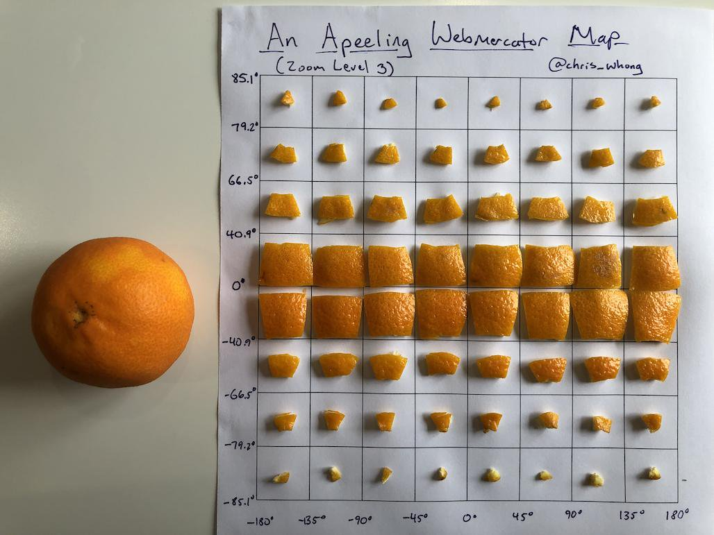
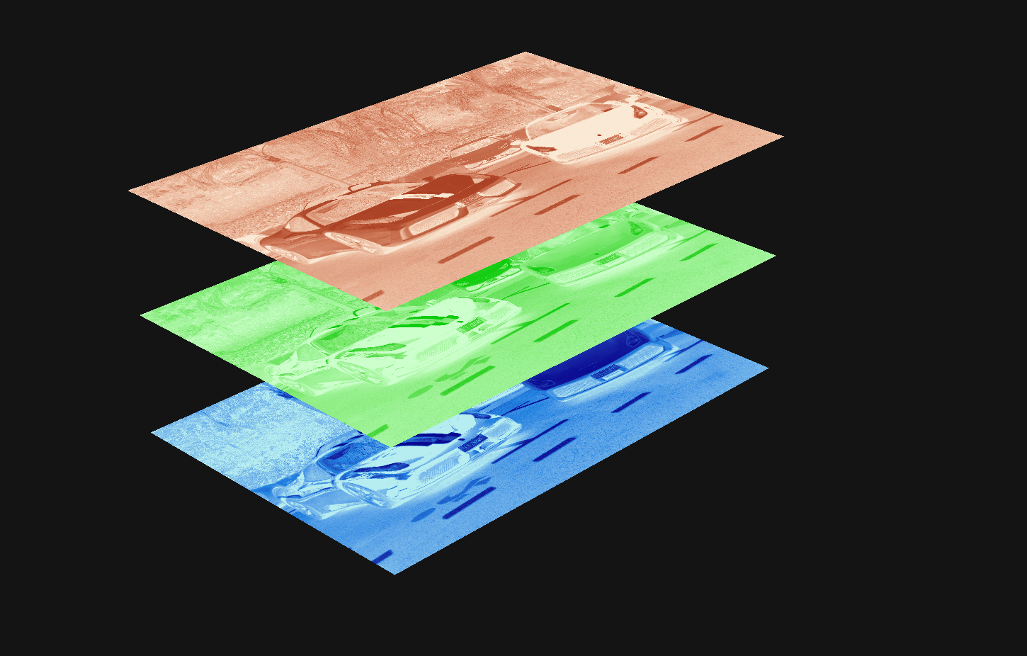
Think of them as translations from 3d to 2d
Credit: @chris_whong
Demo / Hands-on (if you like)
*(a shapefile isn't really a file)
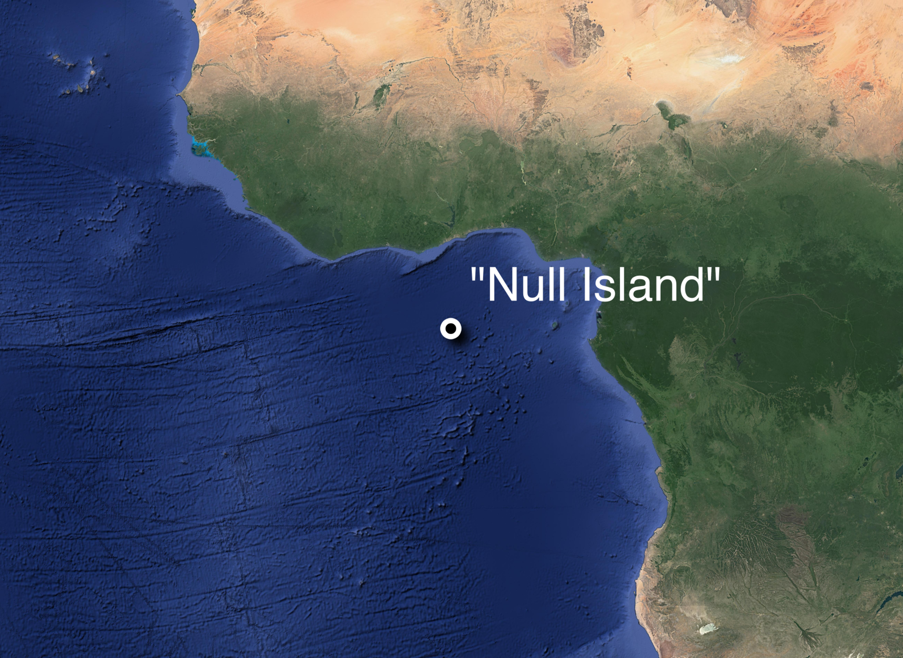
{
"type": "FeatureCollection",
"features": [
{
"type": "Feature",
"properties": {
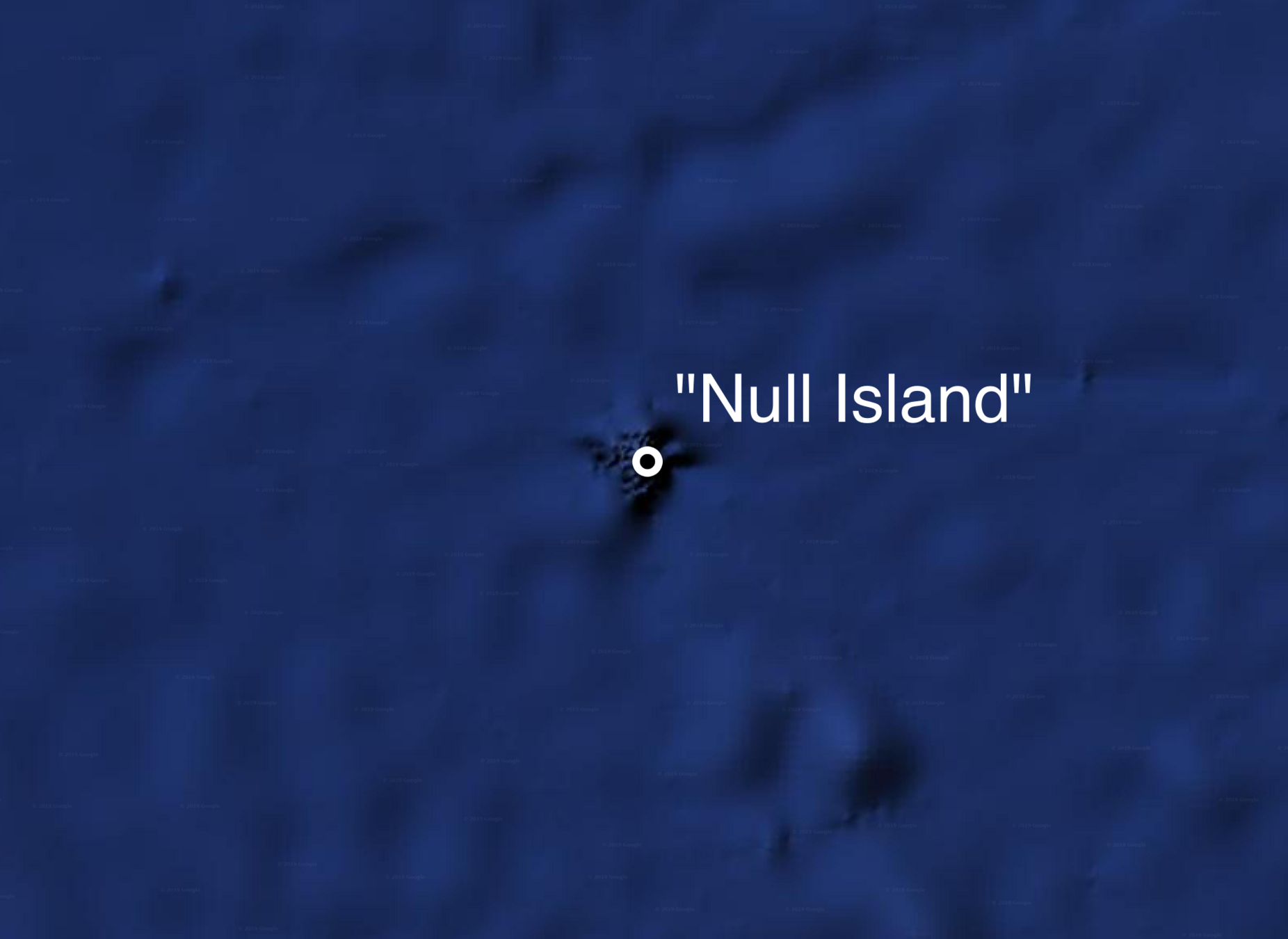
"Label": "\"Null Island\""
},
"geometry": {
"type": "Point",
"coordinates": [
0,
0
]
}
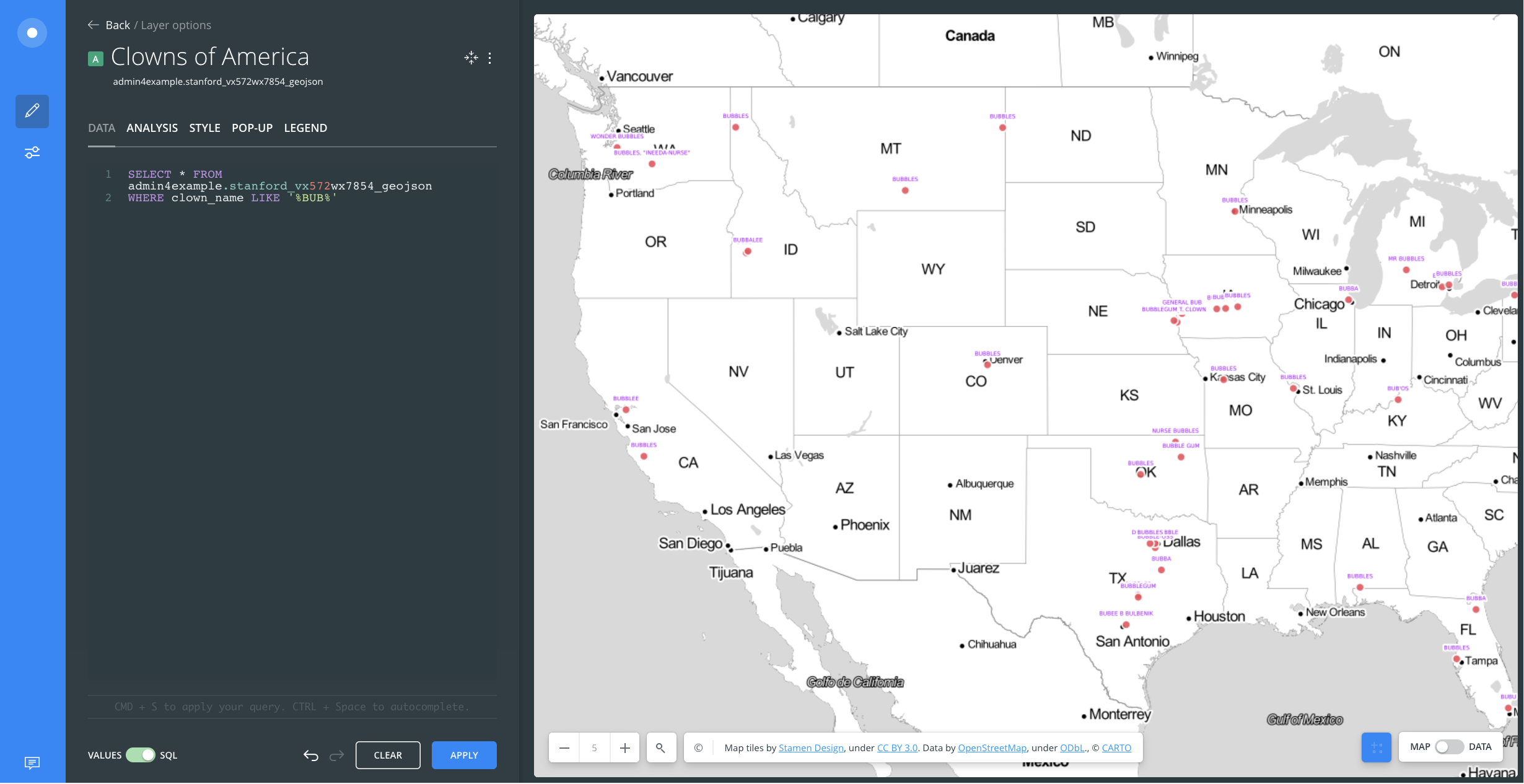
},SELECT * FROM clowns
WHERE clown_name LIKE '%BUB%'| OBJECTID | Num_Cases | Address | xcoord | ycoord |
|---|---|---|---|---|
| 1 | 1 | 29 Kingly Street | -0.140033817 | 51.51326827 |
| 2 | 3 | 27 Heddon Street | -0.139874596 | 51.51122647 |
| 3 | 1 | 31 Heddon Street | -0.13991682 | 51.51127459 |
| 4 | 2 | 18 Fouberts Place | -0.139587437 | 51.51353757 |
| 5 | 1 | 18 Kingly Street | -0.139681937 | 51.51299401 |
| 6 | 2 | 18 Fouberts Place | -0.139587437 | 51.51353757 |
| 7 | 1 | 1 Ramillies Place | -0.139478997 | 51.51500072 |
| Extension | File Type |
|---|---|
| Geography Markup Language (GML) | .GML |
| Google Keyhole Markup Language (KML/KMZ) | .KML .KMZ |
| GPS eXchange Format (GPX) | .GPX |
| IDRISI Vector | .VCT .VDC |
| MapInfo TAB | .TAB .DAT .ID .MAP .IND |
| OpenStreetMap OSM XML | .OSM |
| Digital Line Graph (DLG) | .DLG |
| Geographic Base File-Dual Independent Mask Encoding (GBF-DIME) | |
| ArcInfo Coverage |
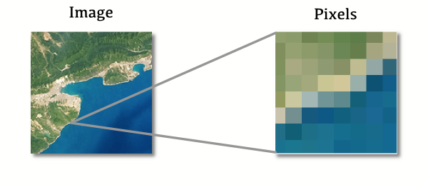
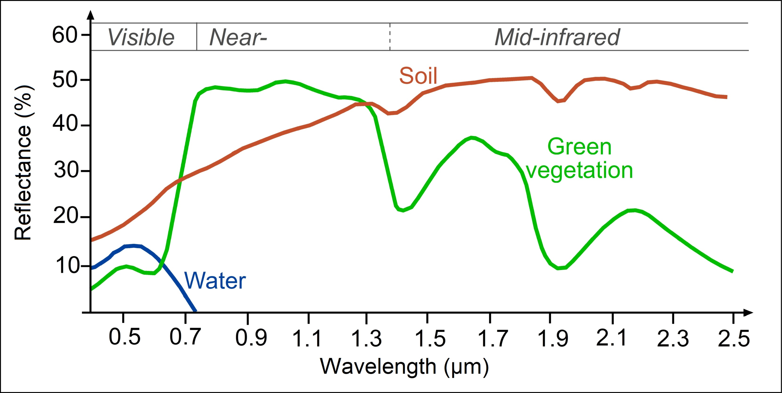
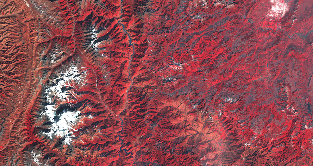
Pixels are numeric values
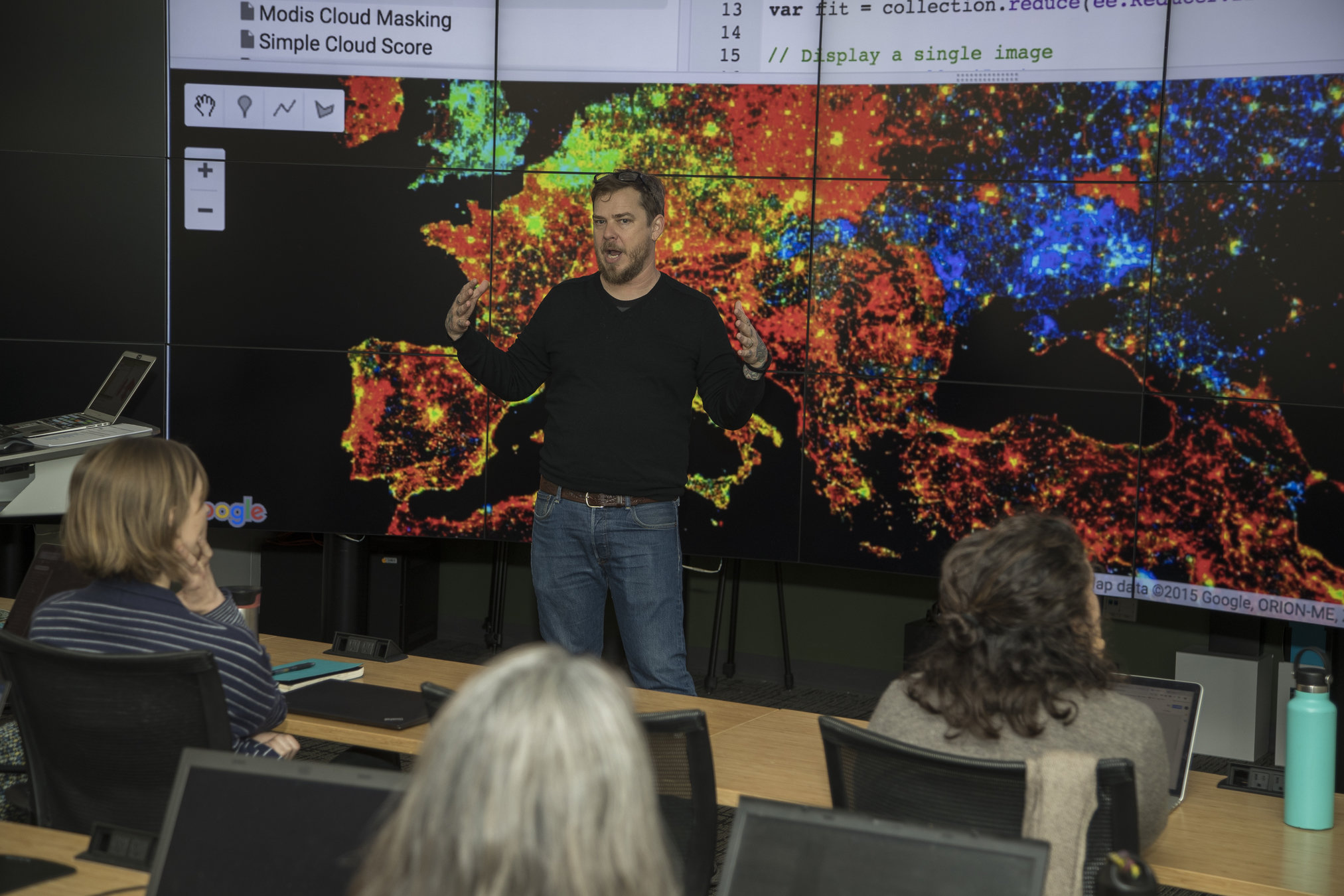
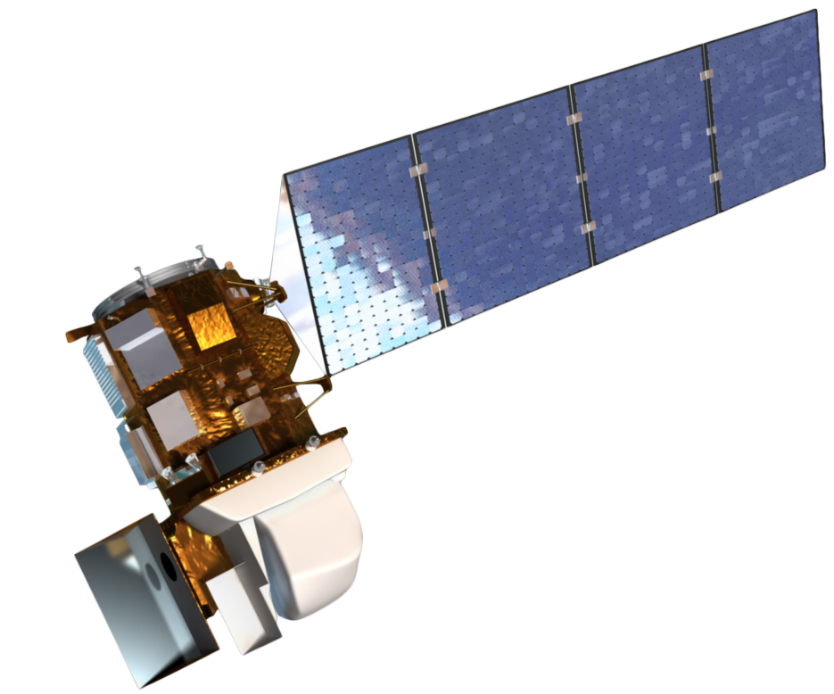
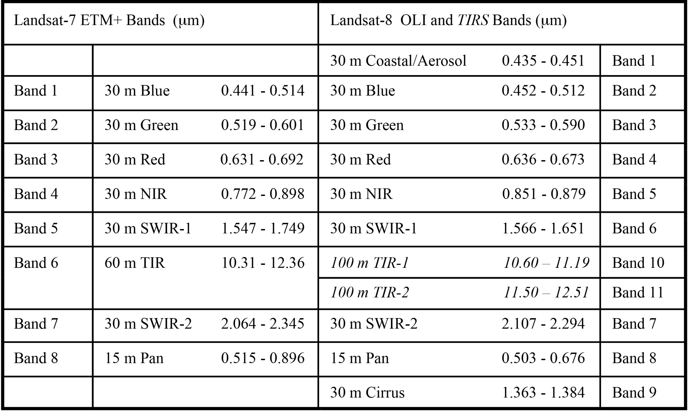
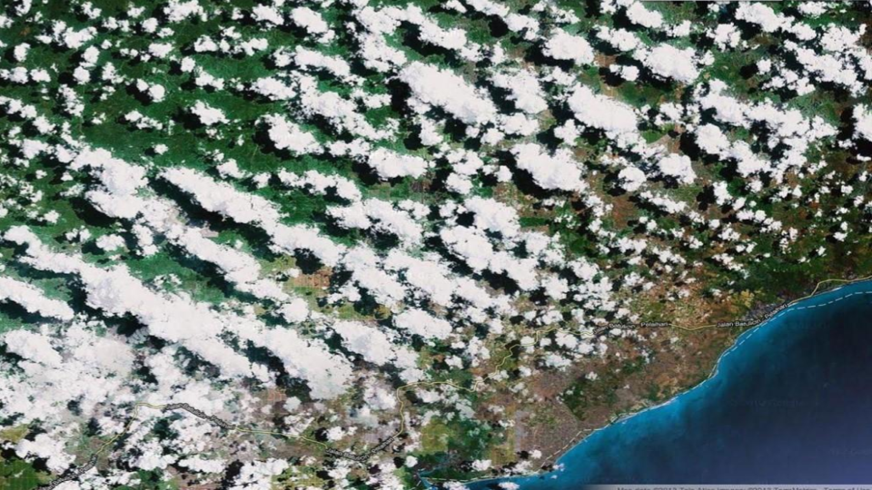
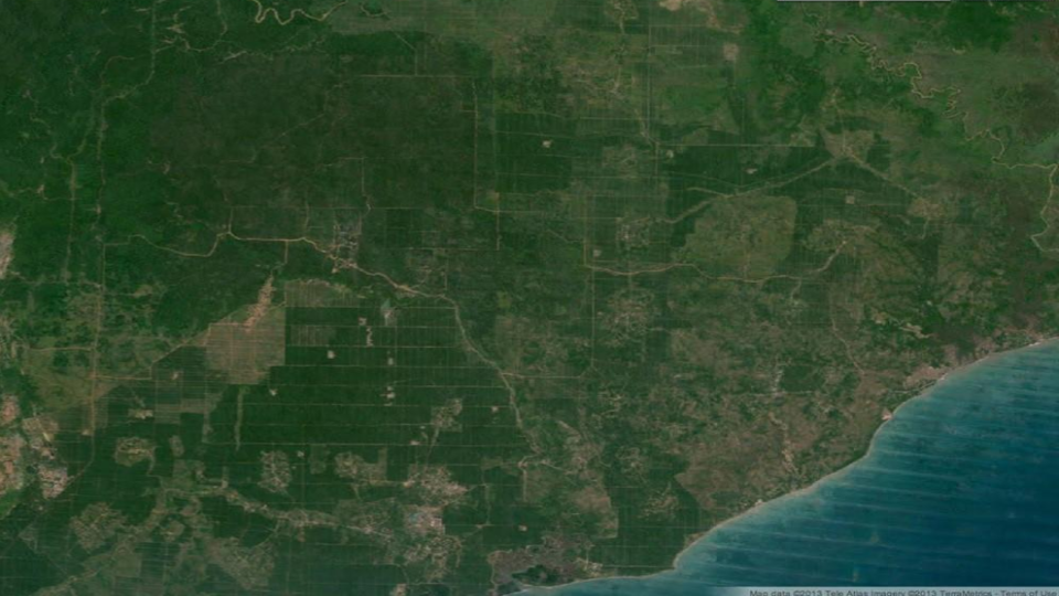
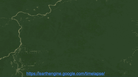
How often does a satellite revisit locations?
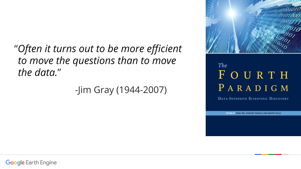
“Often it turns out to be more efficient to move the questions than to move the data.
- Jim Gray”
(a TIFF with Geo)
The GeoTIFF file format was developed as a distribution format for satellite or aerial imagery as well as other data such as Digital Elevation Model (DEM) data, and Digital Ortho Quadrangle data.
(Cloud-optimized GeoTIFF)
A Cloud Optimized GeoTIFF (COG) is a regular GeoTIFF file, hosted on a HTTP file server, with an internal organization that enables clients issuing HTTP GET range requests to ask for just the parts of a file they need.
(proprietary format)
A proprietary binary format, developed and supported by Esri, QGIS and GDAL
Now go to:
Login and wait for the workshop repo to load. You should then see this item in your GEE Scripts Panel
Credit: @chris_whong
Geospatial Data Abstraction Library
(it basically runs everything)
Turning text-based locations (addresses, placenames, localities, ...) into latitude & longitude coordinates.
(reverse geocoding searching nearby places or features with a lat/long)