FAIR data
in Geographic Information Science
Hi! My name is Dr. Britta Ricker and
I like to use
Teaching
Co-Founded and Developed the
Master of Science in Geospatial Technologies
UU - Environmental Impact Assessment
Pathways to Sustainability
Environmental Science Courses
Research
Cartography
Open Data
Augmenting missing data

Cartography
Maps = Power

Waldseemüller map 1507
Maps --> Media
Applied
Quantitative
Theory
Qualitative


Knowledge Politics
Political Power
"...knowledge politics to be shaped by deeply institutionalized tendencies in planning and policy making to grant greater weight to knowledge expressed as quantitative data or represented in cartographic forms."
Data Driven Decision Making
(Elwood & Leszczynski, 2012: 545)
GIS and
spatial media
(Ricker, 2017)

You can tell a lot about values based on the open data available
Vector
Raster


Local city data portals
Environmental Sensors
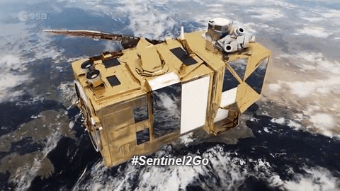
Global Satellite imagery
Drones


Public Participatory Geographic Information Systems (PPGIS)


Projects
How can we
harness the hype
of accessible technology
to make maps!


Share your data


Spectral signature
Bands and spectral signatures


Normalized Difference Vegetation Index
NDVI=NIR-IR/NIR+IR
FAIR
By Britta Ricker


