Creating Immersive Virtual Tours With Google Tools
Session Overview
- Overview of Google Street View
- How Google Collects Imagery
- How and Why We Collect Imagery
- How YOU Can Collect Imagery
- Extending Uses
- Hands On Session
Google Maps

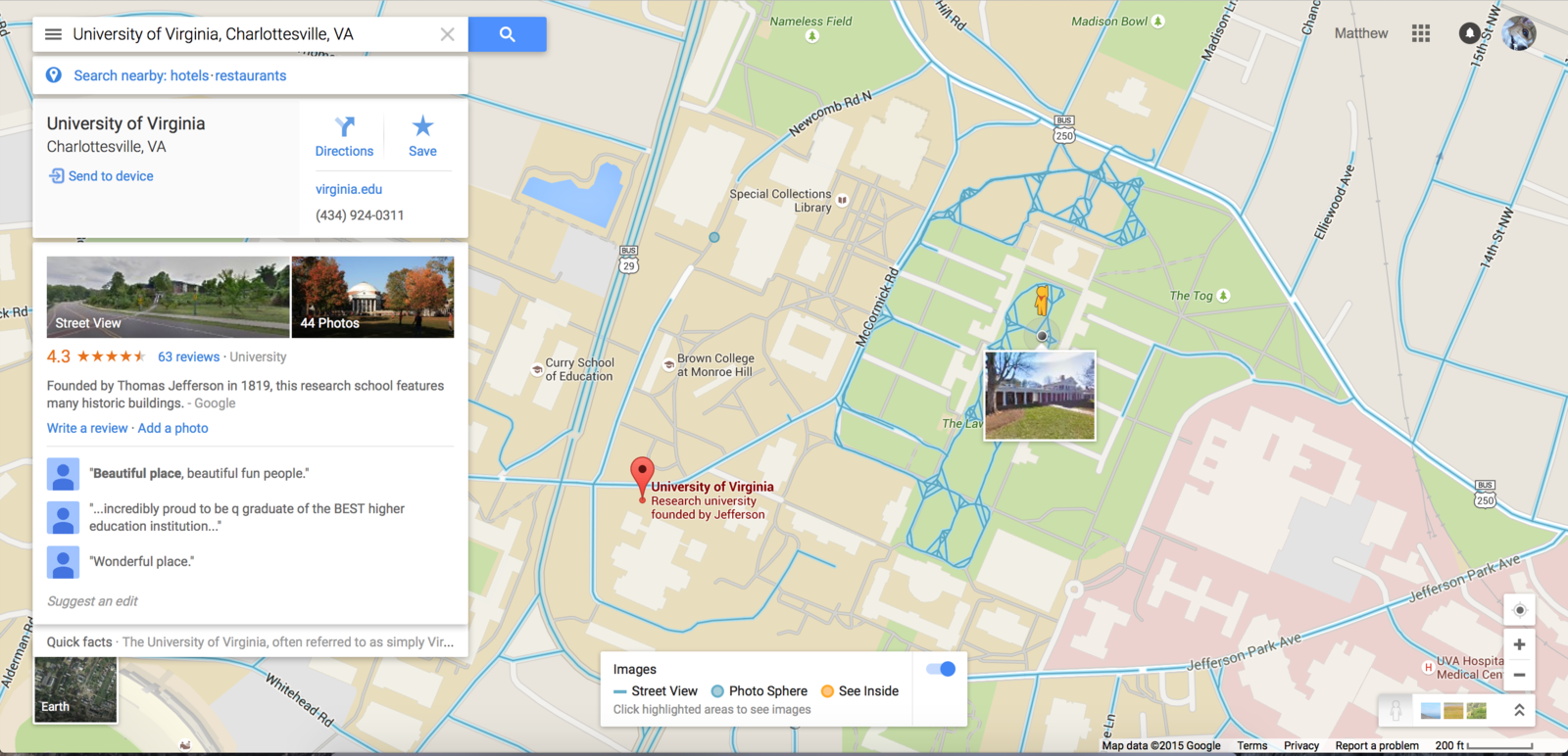
Street View
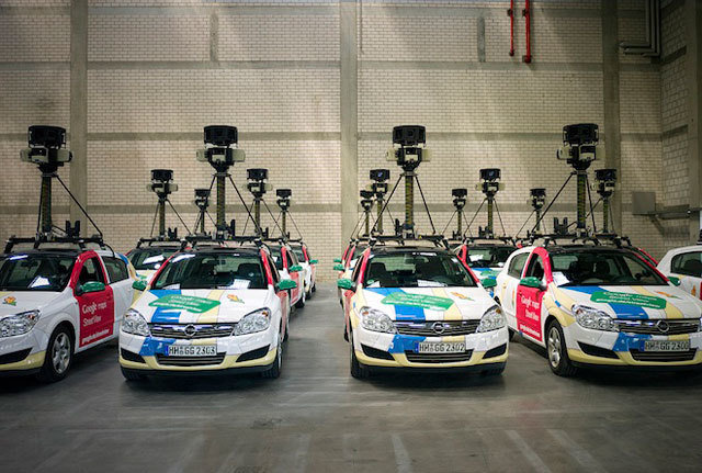
Google Cars
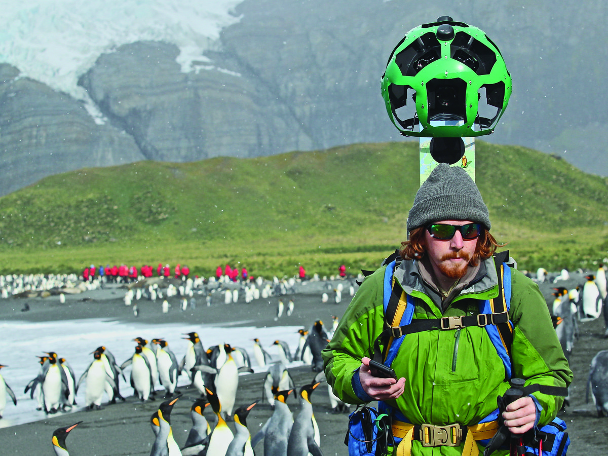
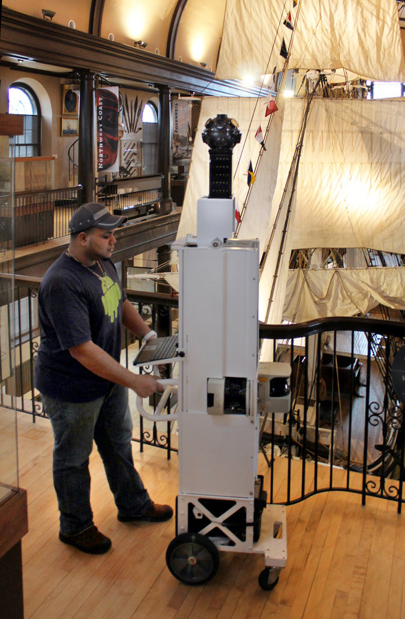
Trekkers
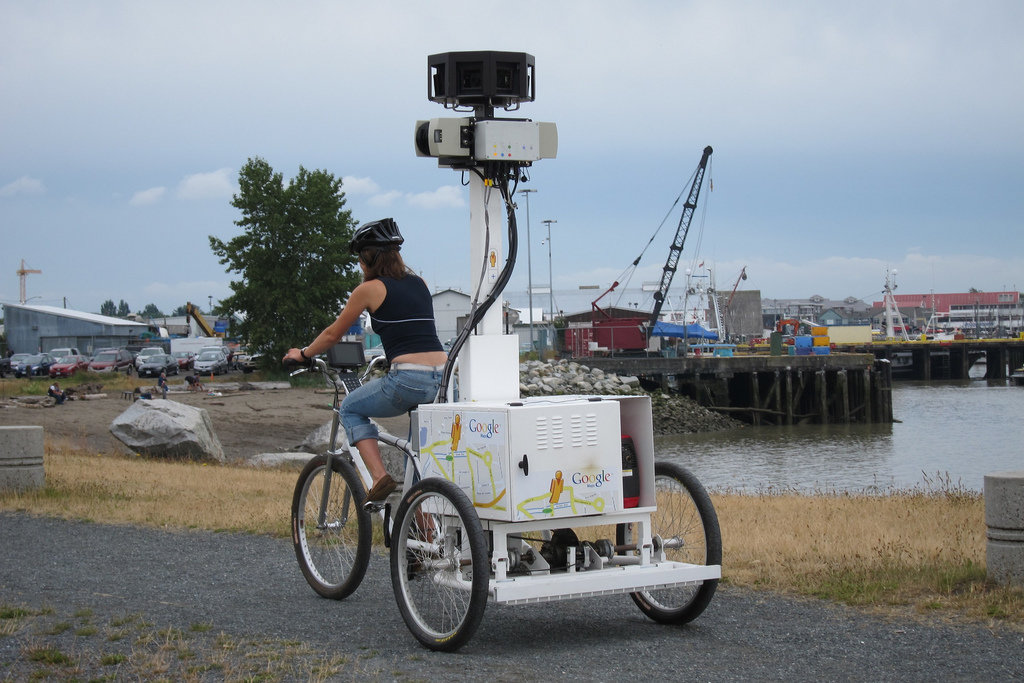
Tricycle
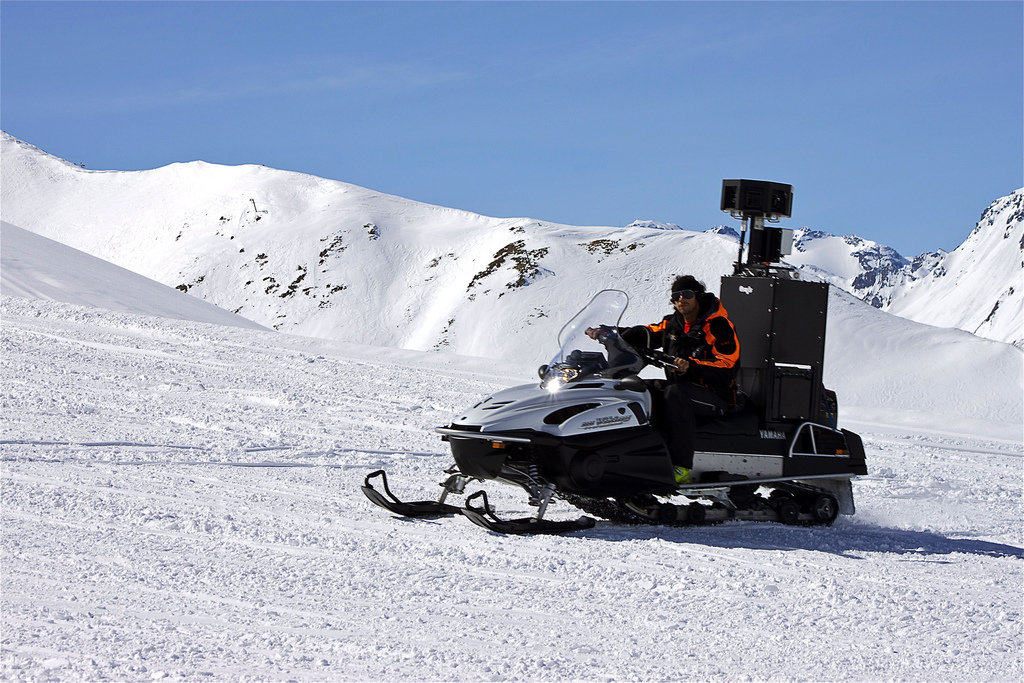
Snowmobiles?!!!?
T
R
O
L
L
E
Y
S
Geo for Good Summit
“Google Earth Outreach gives nonprofits and public benefit organizations the knowledge and resources they need to visualize their cause and tell their story in Google Earth & Maps to hundreds of millions of people.”
Menokin
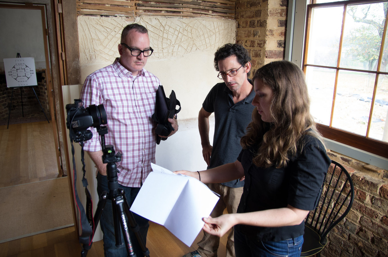
Poplar Forest
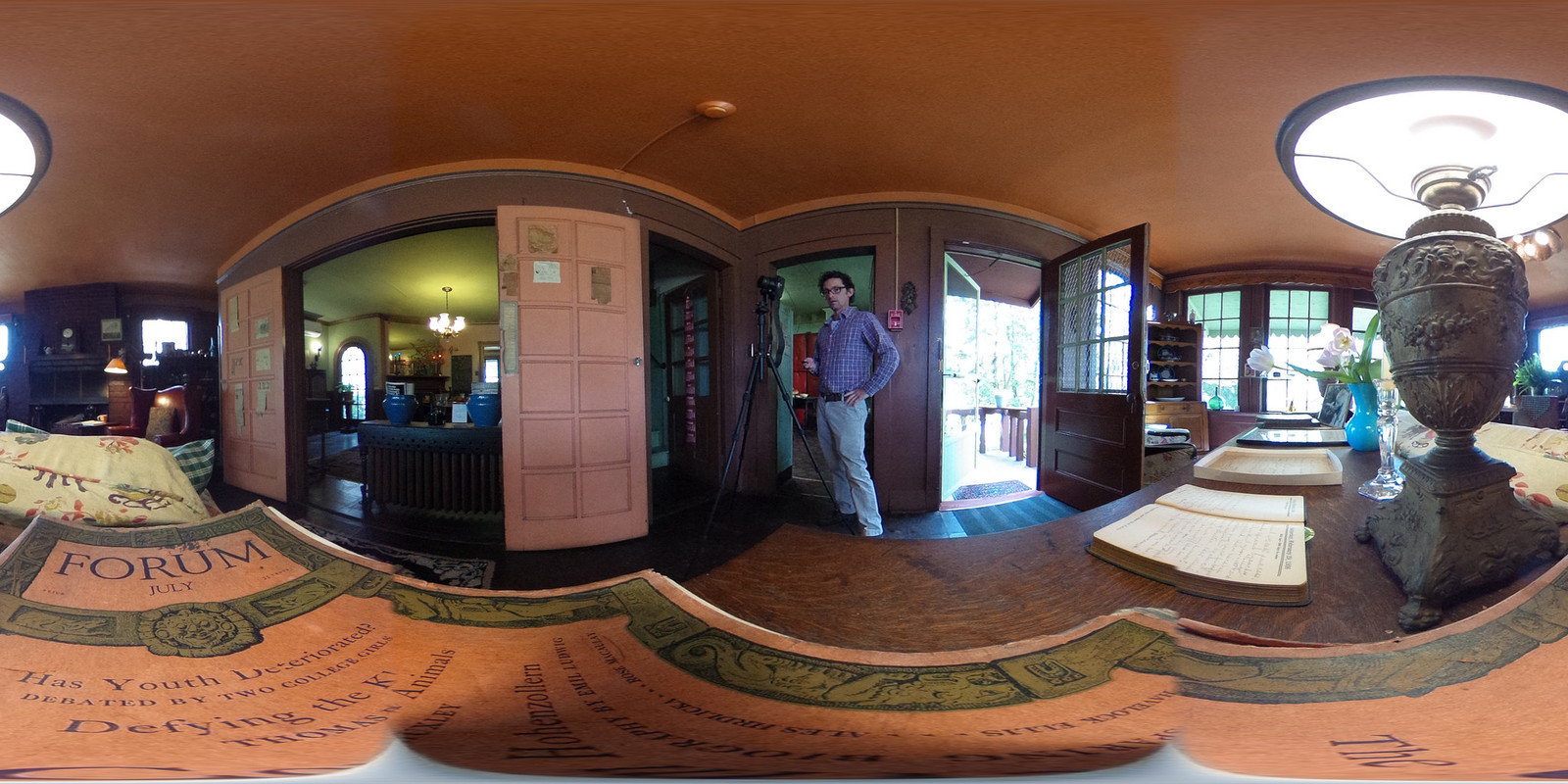
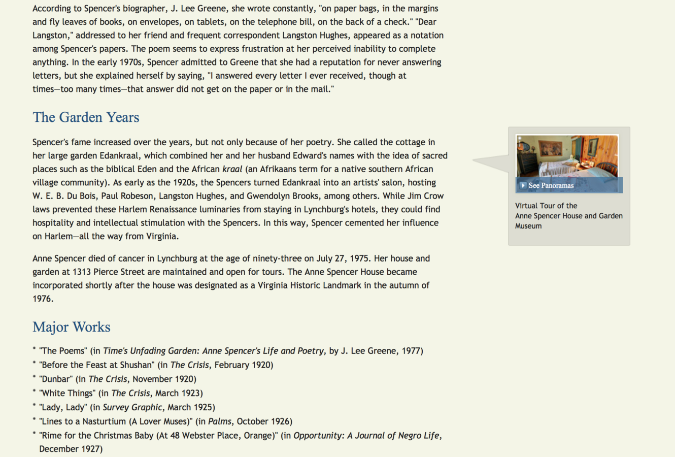
Anne Spencer House
How EV Collects Imagery
- Official Google Professional Way
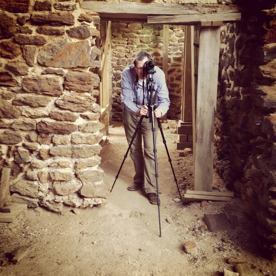
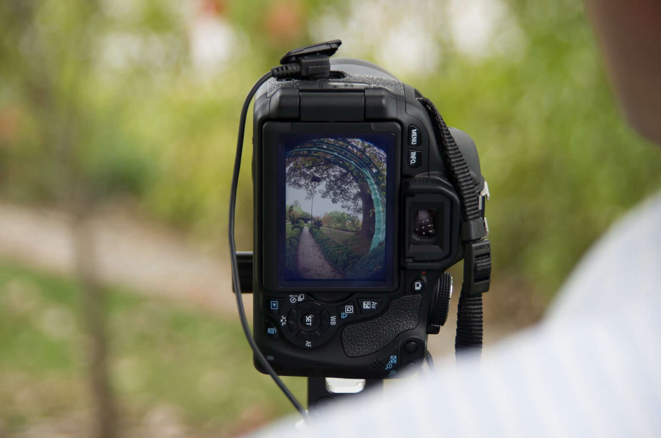
- DSLR
- Fisheye Lens
- Google Business Photo Tools
- DIY
- Creation
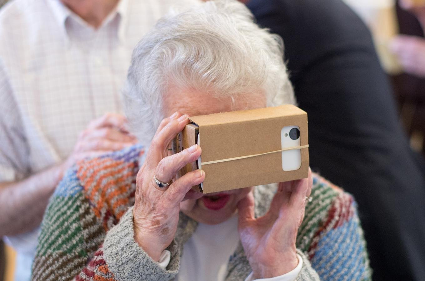
- Photo Sphere with phone
- DSLR/Fisheye Lens (image stitching software, PTGui)
- Publication
- Google Views
- 360cities.net
- Creation
How This Effort Adds Value to EV and Humanities Partners
- Expands modes of access to history
- Facilitates discovery of Virginia's historical places
- "Preservation"
- Spreads knowledge to partners
- Promotes innovation
Enhancing EV Content
Expanding Access: "See Inside"
The Immersive Experience
"Preserving" Virginia
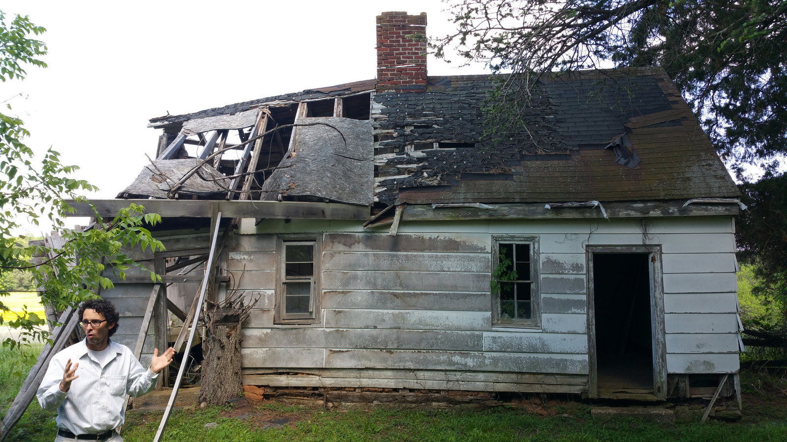
Text
Sherwood Forest, Fredericksburg
Expanding Virtual Tours
Sites Captured
How You Can Collect Imagery
- Partner with us!
- Ideally needs to fit with EV's content and mission
- Integrate with EV content
- Partner with Google
- They send their team to do it
- Site prioritization and significance
- Hire (i.e. pay) a Google Trusted Photographer
- DIY!
- Device: phone or camera
- Production software (e.g. PTGui)
- Publication platform (e.g. Google Views or 360cities)
Copy of Creating Immersive 360º
By Encyclopedia Virginia


