Preserving & Accessing Endangered Spaces Virtually

Who We Are and How We Got Involved in This
-
Virginia Foundation for the Humanities
-
Encyclopedia Virginia
-
Free
-
Authoritative
-
Innovative
-
Encyclopedia Virginia
Mapping History
“Google Earth Outreach gives nonprofits and public benefit organizations the knowledge and resources they need to visualize their cause and tell their story in Google Earth & Maps to hundreds of millions of people.”
Geo for Good

Google Maps
Street View
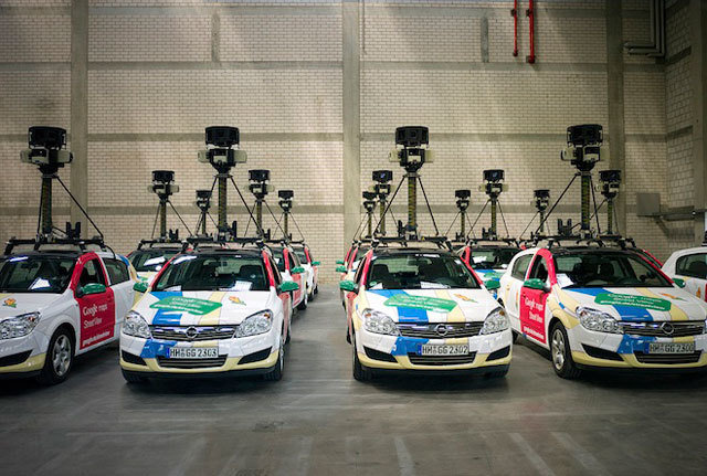
Google Cars
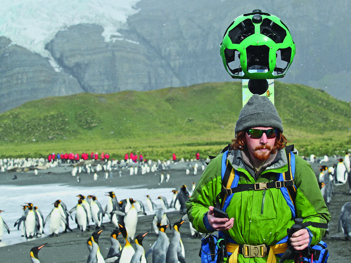
Trekkers
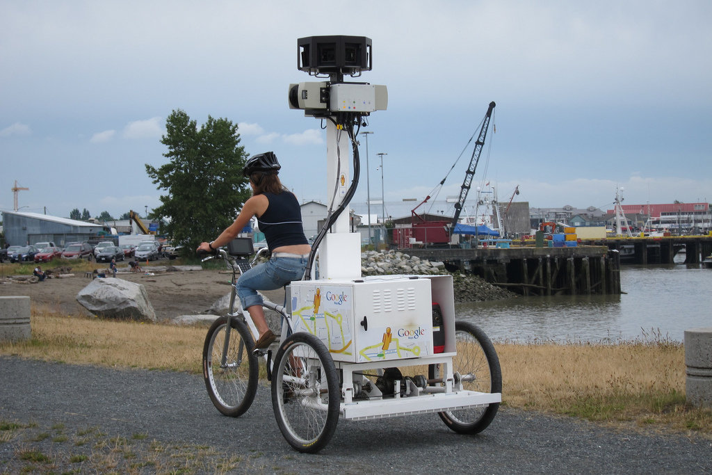
Tricycles
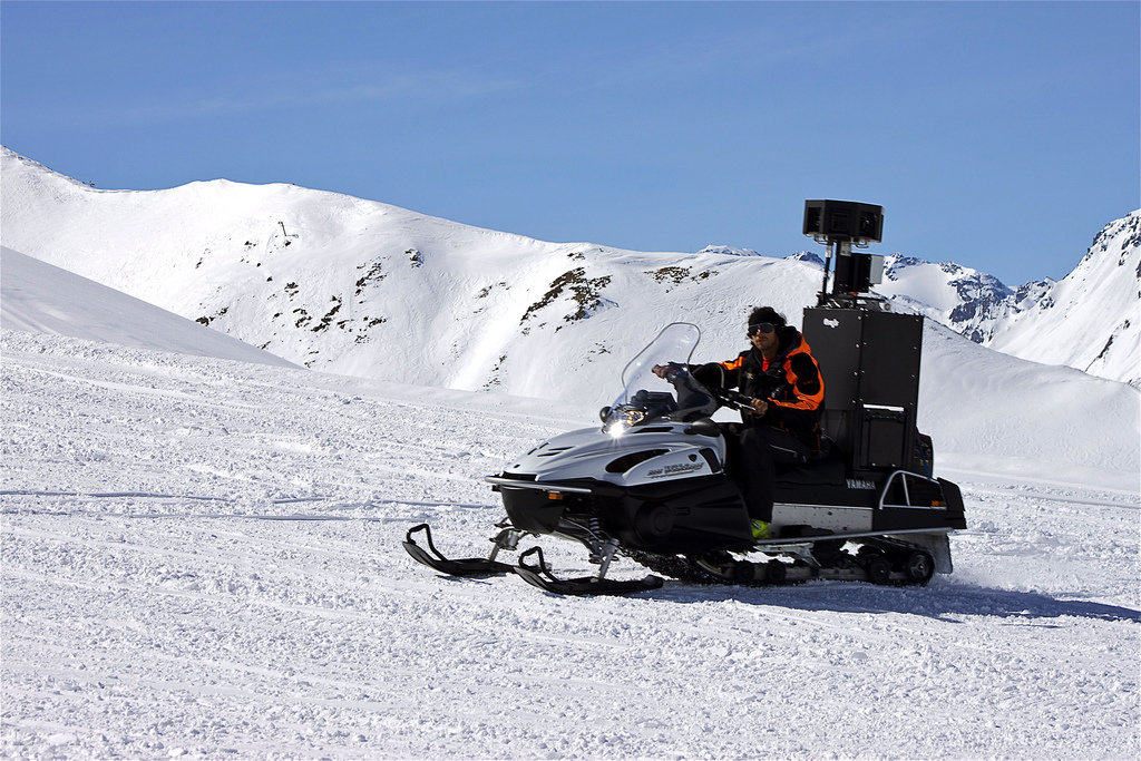
Snowmobiles
T
R
O
L
L
E
Y
S
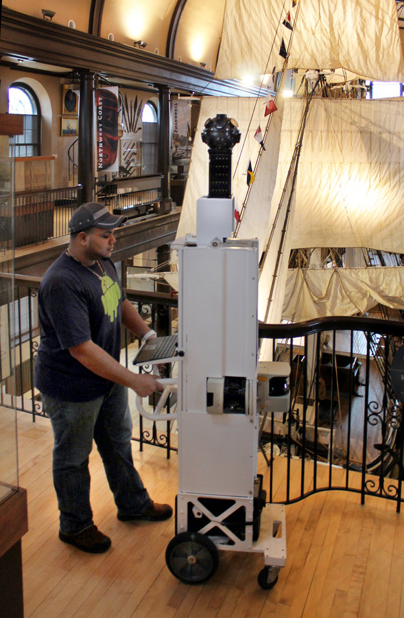
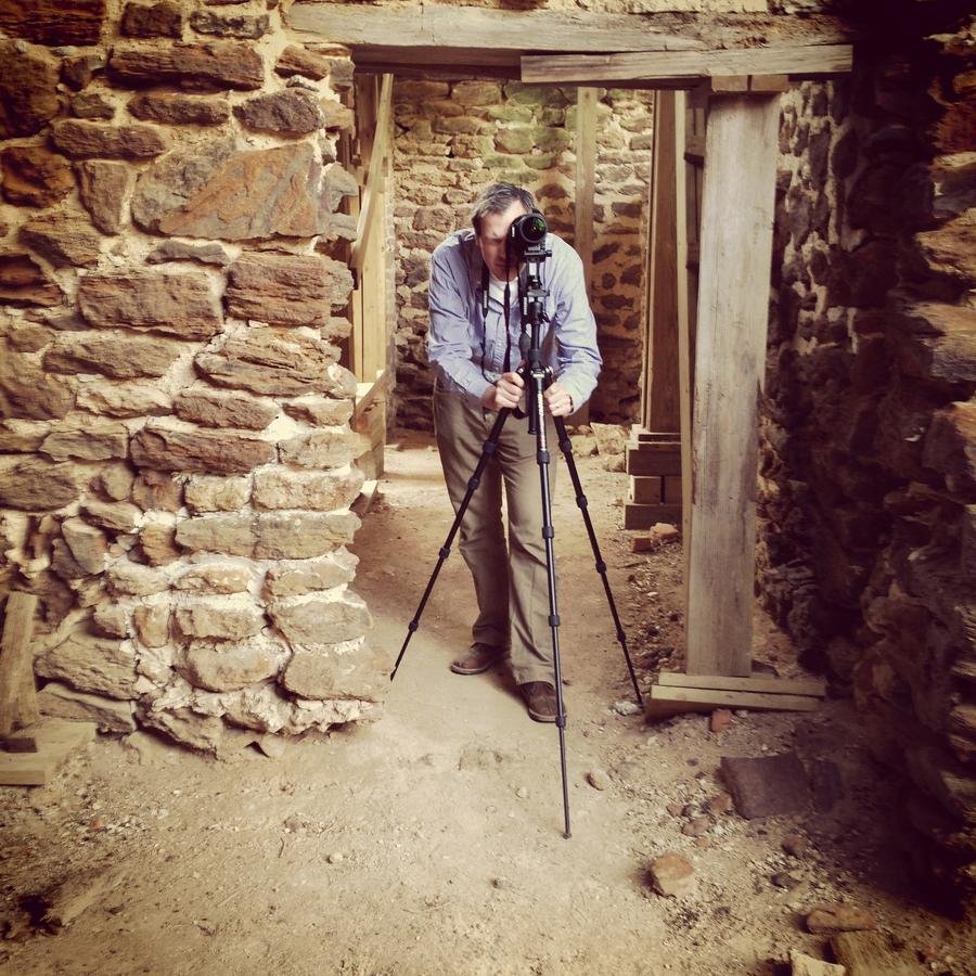
DSLR
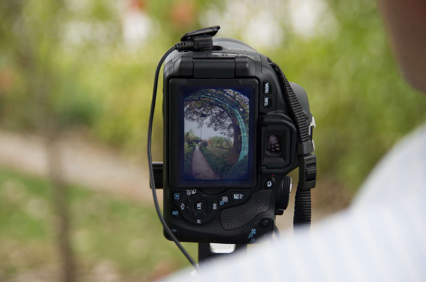
What to Capture?
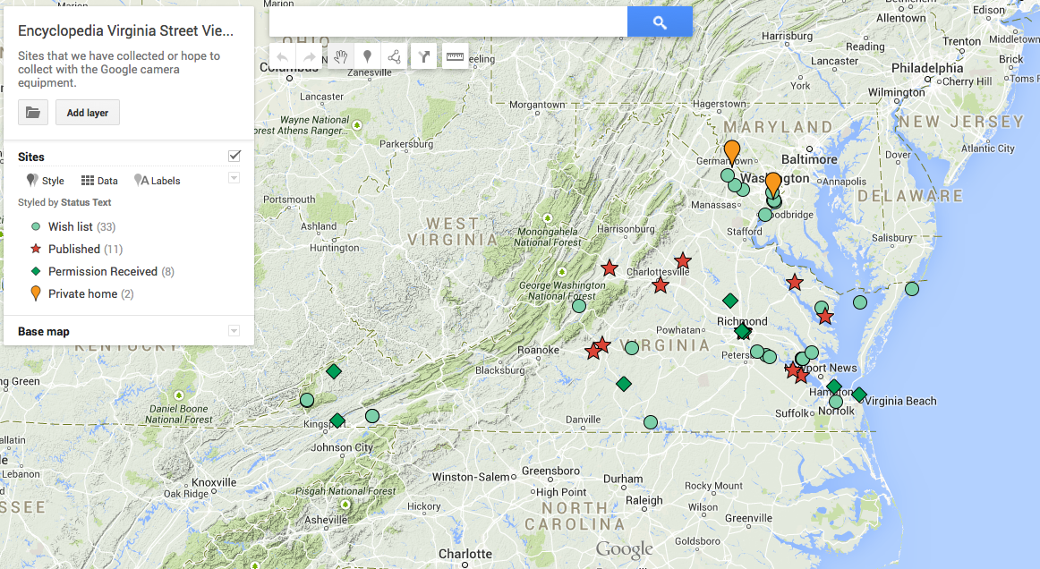
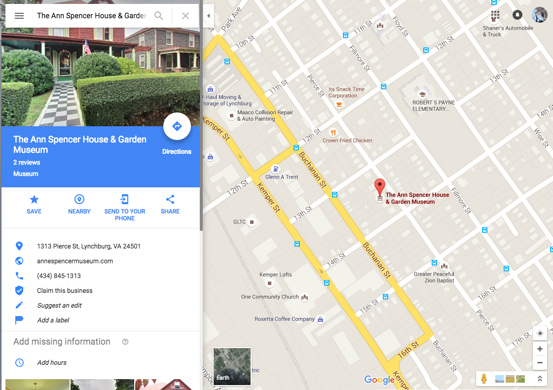
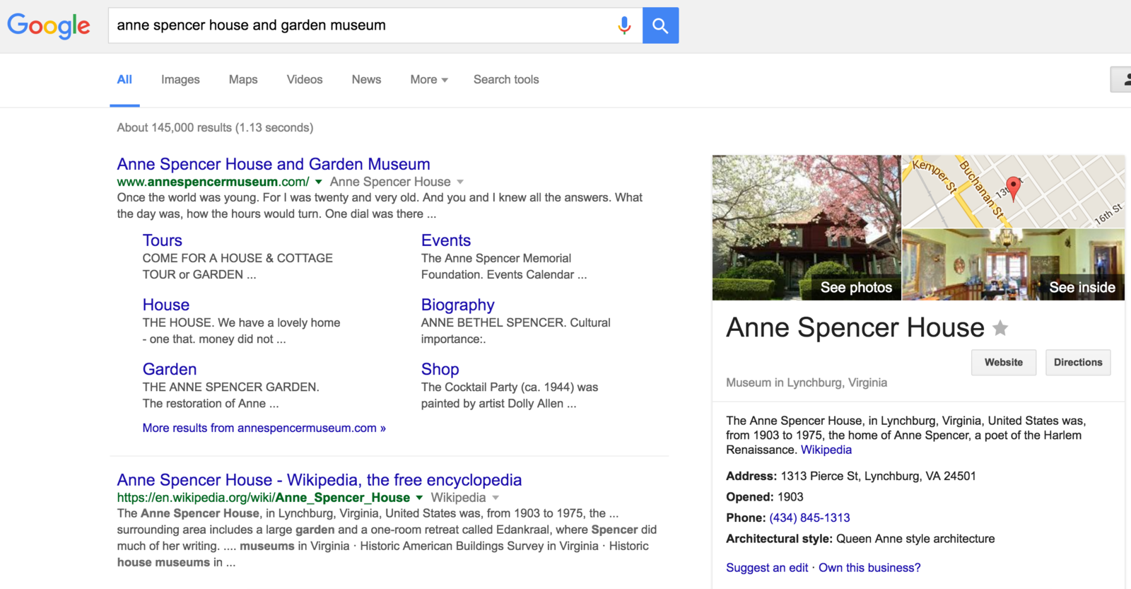
October 2013: Poplar Forest
- Enhancing content
- Promoting EV
- Facilitating discovery
- Strengthening partnerships
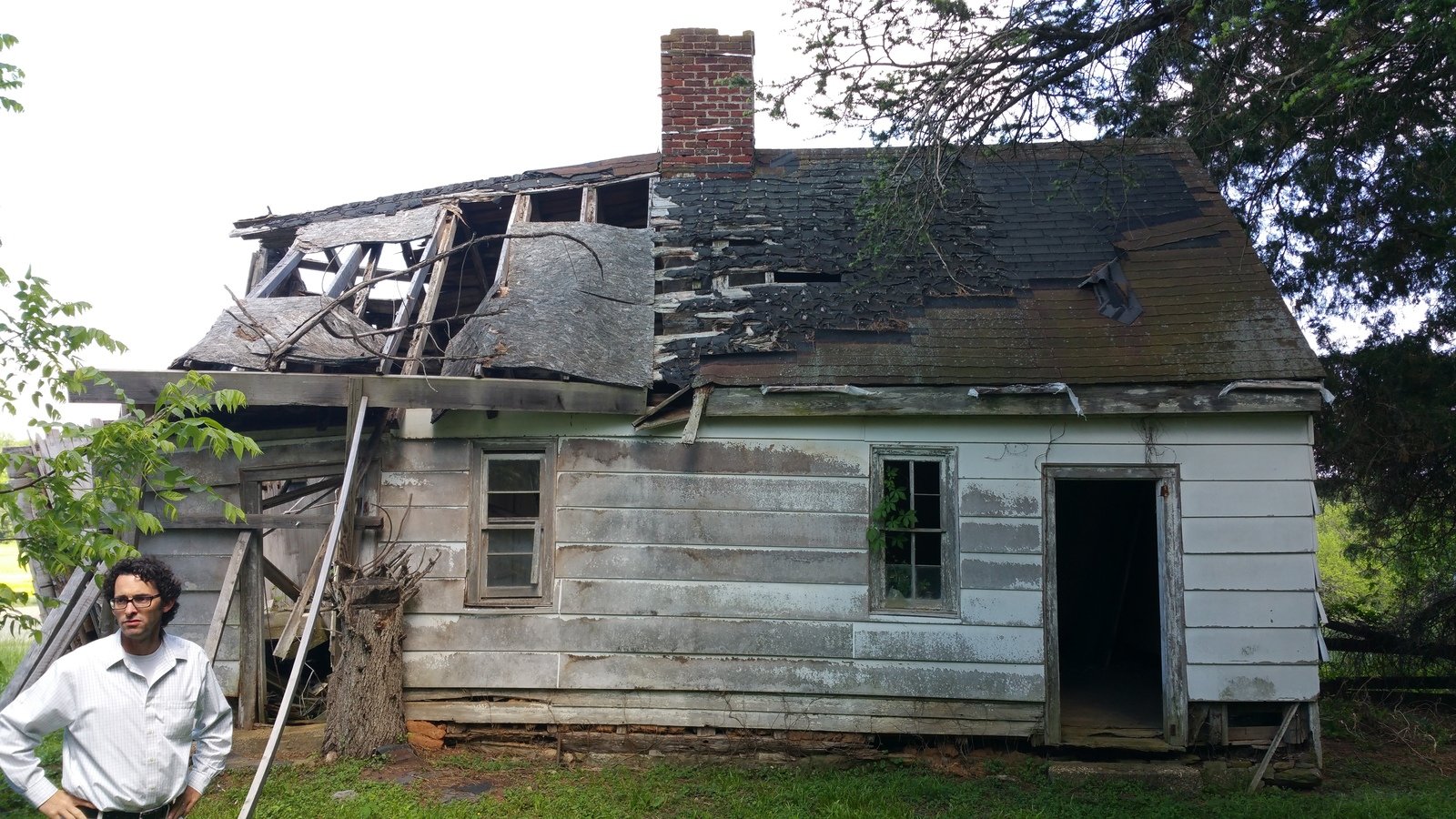
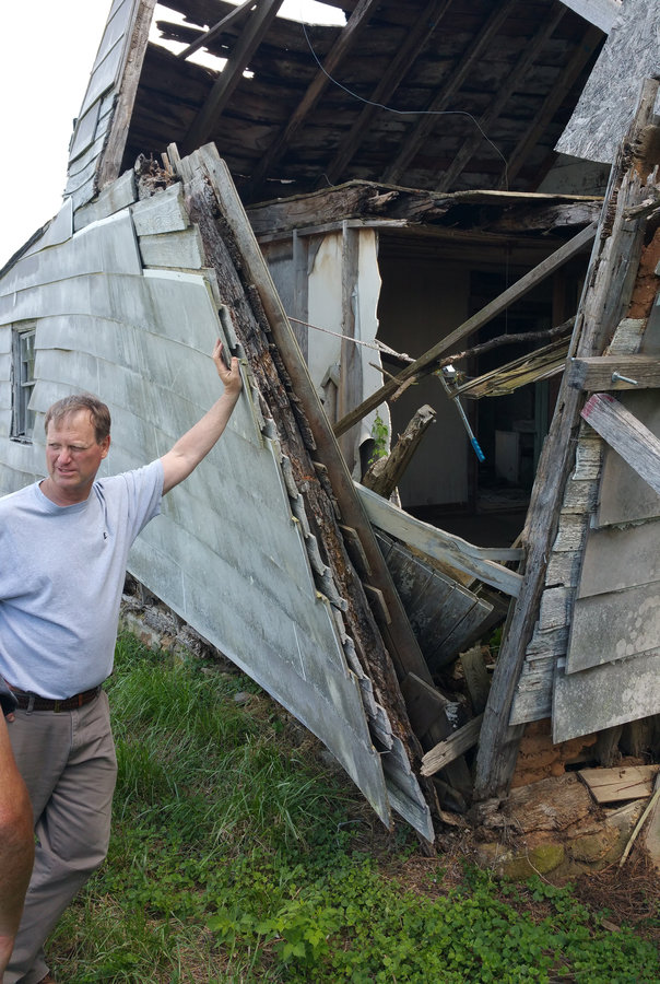
- "Preserving" historical structures
- Innovating in new spaces
Adding Value to Our Work
Enhancing EV Content
Global Access to Historical Sites
Access to Cultural Heritage Sites
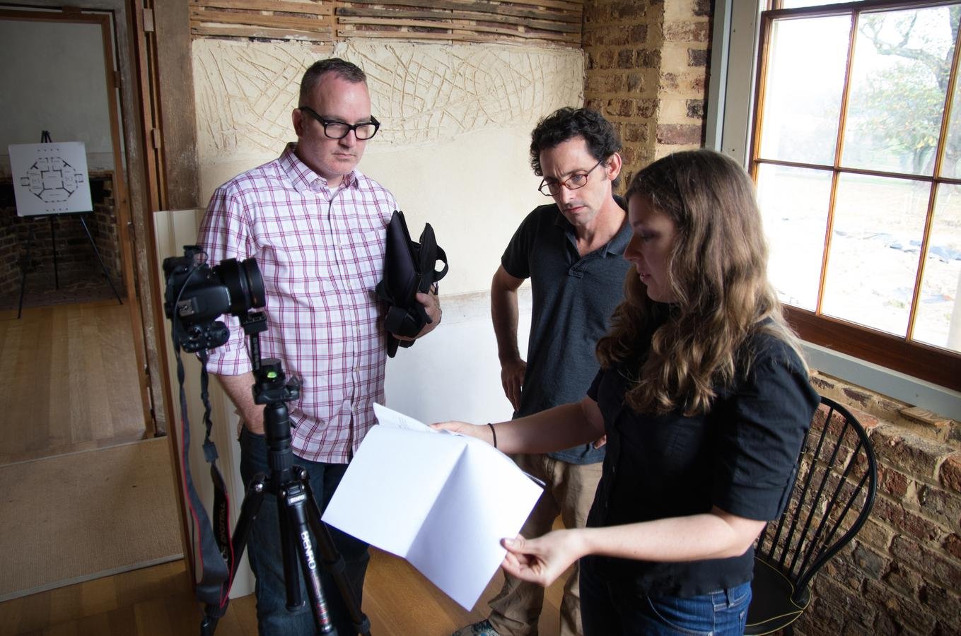
Partnerships and Outreach
Partnerships and Outreach
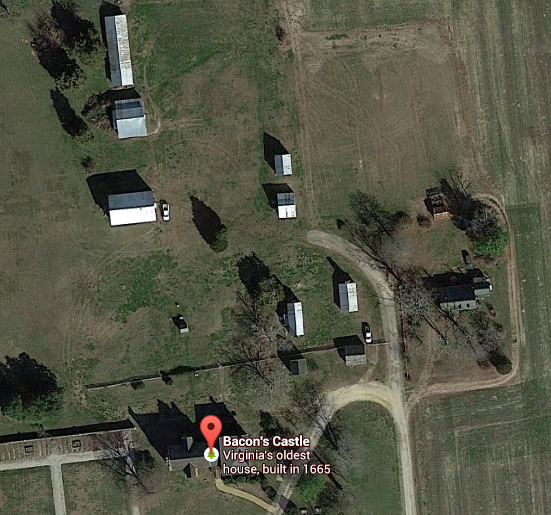
Preservation Virginia: Bacon's Castle
Partnerships and Outreach
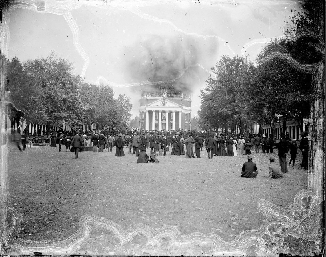
UVA and Slavery: Limestone Farm
Preservation
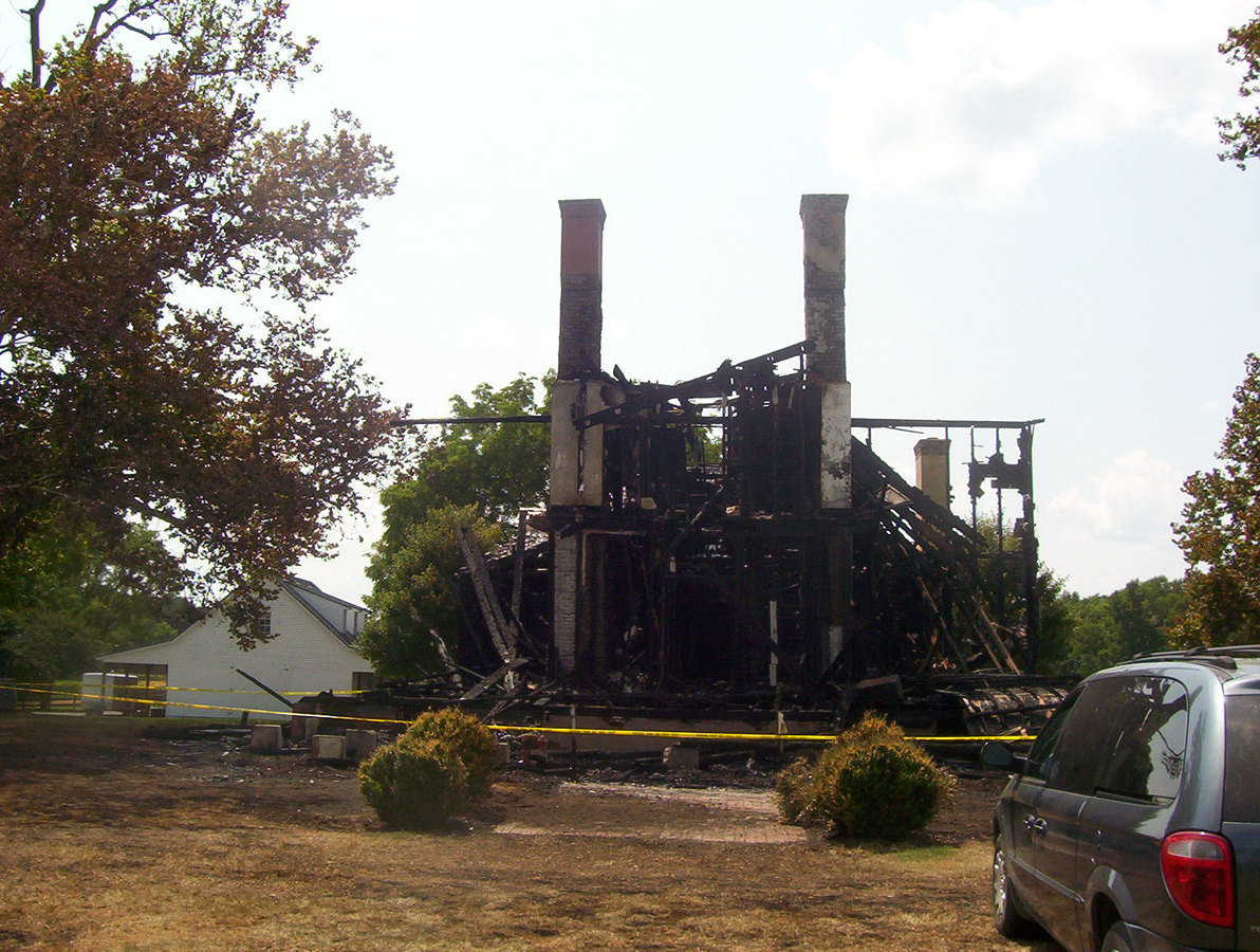
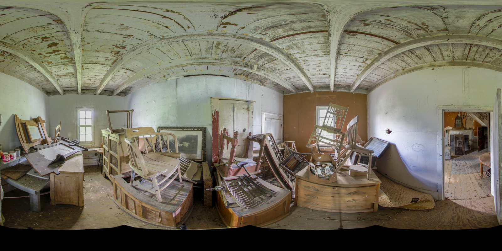
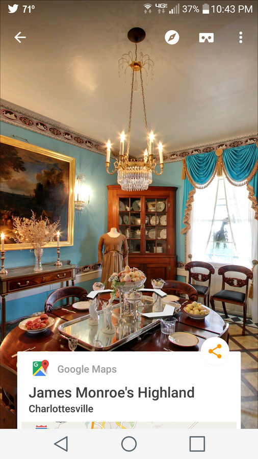
Nomini Hall, home of Robert Carter III
Preservation and Partnerships
Sherwood Forest, Fredericksburg, VA
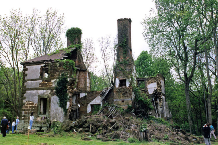
Menokin
Disappearing Landscapes
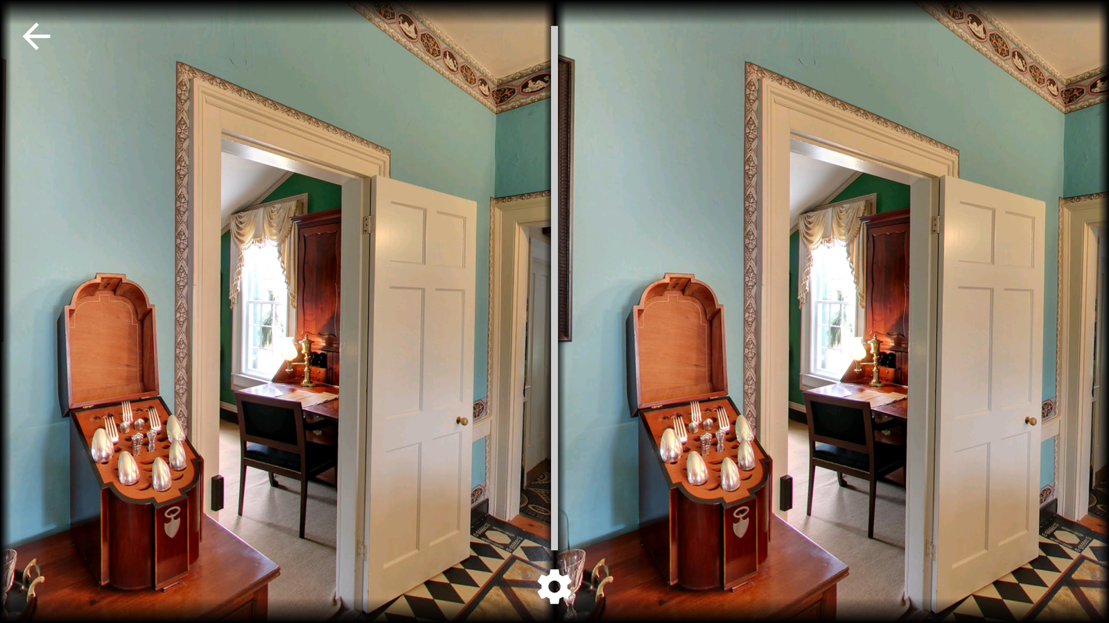
UGC with Photospheres
Innovation
INNOVATION?
Title Text

Text

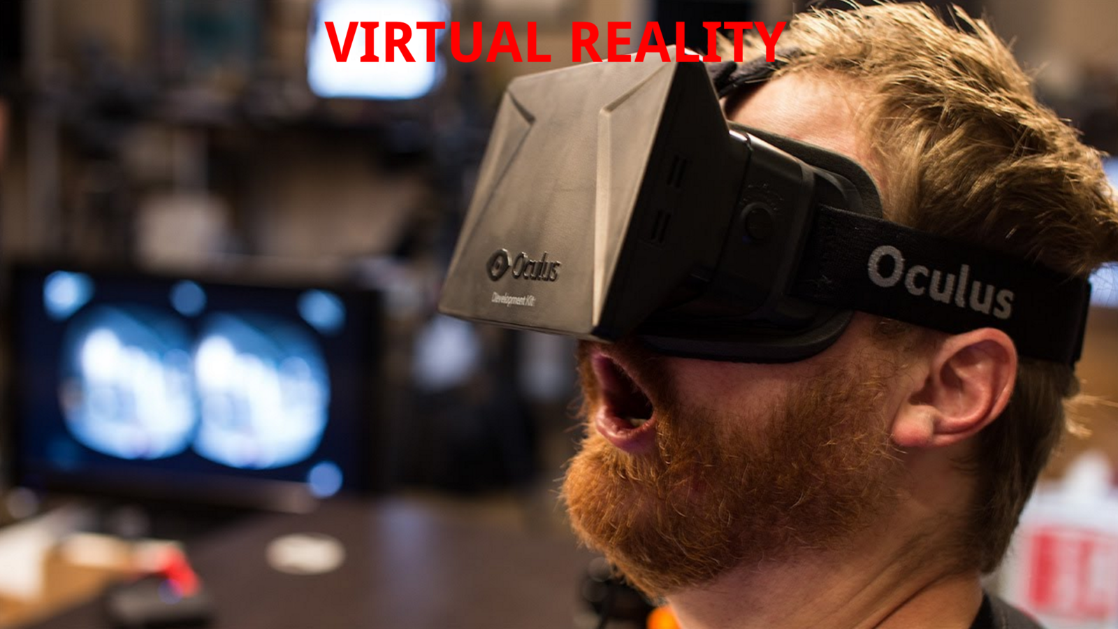
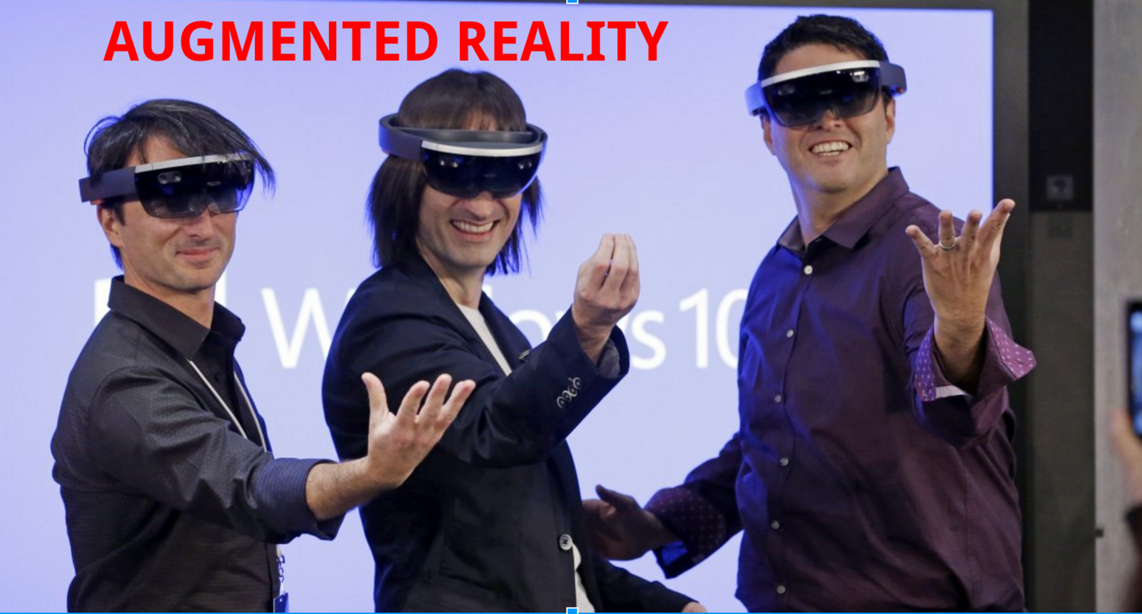
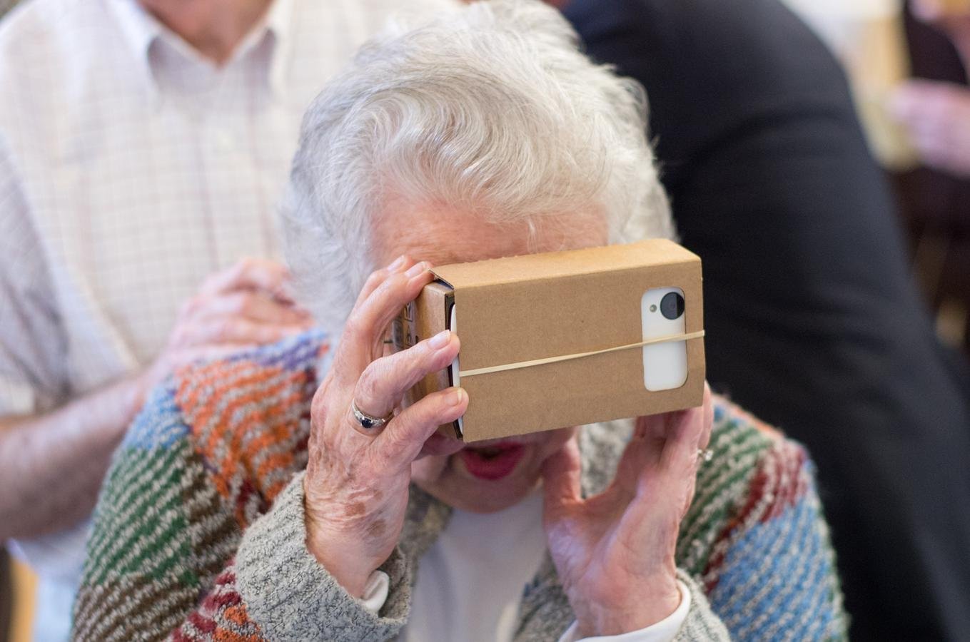
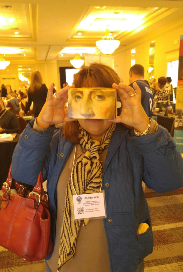
VR Devices

VR Content
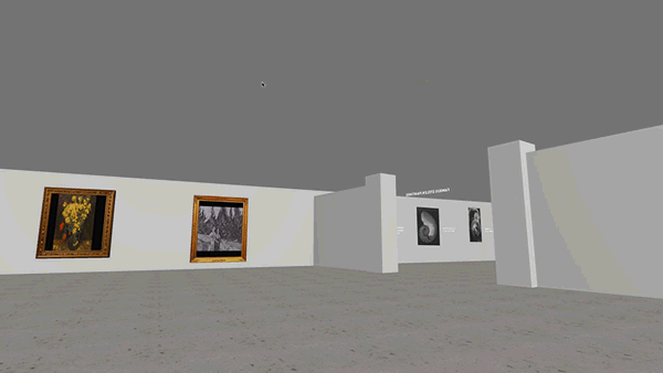
Museum of Stolen Art
The Ultimate Empathy Machine
Chris Milk: CLOUDS OVER SIDRA
The Ultimate Empathy Machine
Chris Milk: CLOUDS OVER SIDRA
EV and Virtual Reality
Immersing Yourself in History
VR in the Classroom
Annotating Virtual Reality
Annotating Virtual Reality
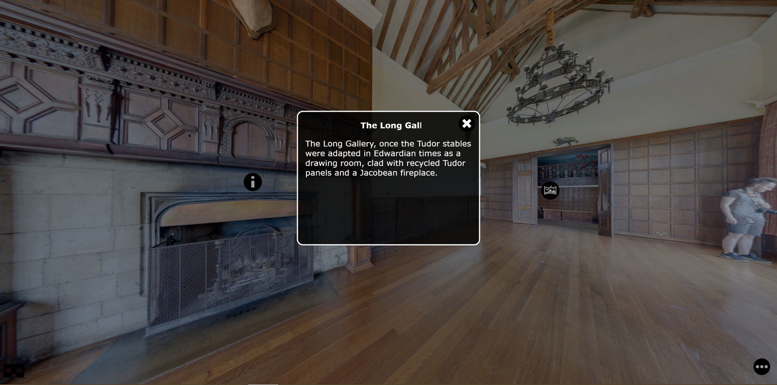
Pano2VR
VR in The Classroom
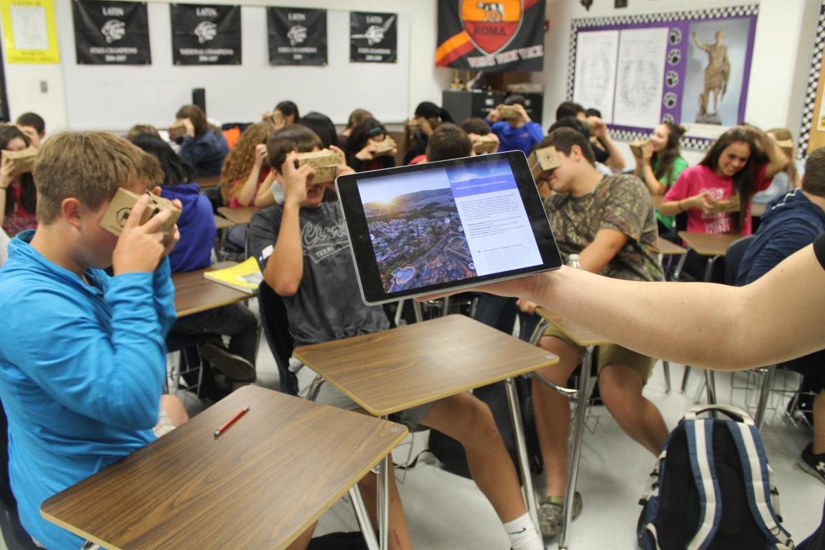
Google Expeditions
VR in The Classroom
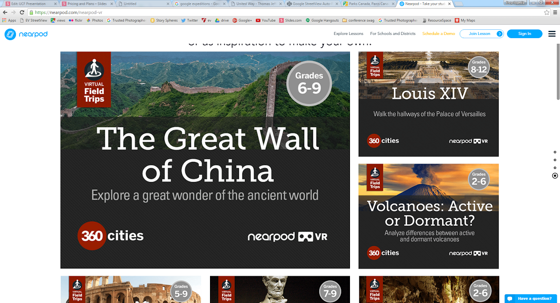
Nearpod

QUESTIONS?
Matthew Gibson: mgibson@virginia.edu
Peter Hedlund: phedlund@virginia.edu
UCF Presentation
By Encyclopedia Virginia
UCF Presentation
1:05 total time in Orlando


