Intro to Mapping
Lauren Jacobson
@lauren_cjay
Goals for Today
-
Mapping fundamentals
-
Open source software
-
How you can make turn your data into pretty maps
-
Mapping your hometown
A bit about me
- Geography at GWU
- Open mapping tools for disaster mitigation
- Spent a year in Indonesia- personal project, collecting Open Street Map data
- Now- Open Data advocate @ Development Seed
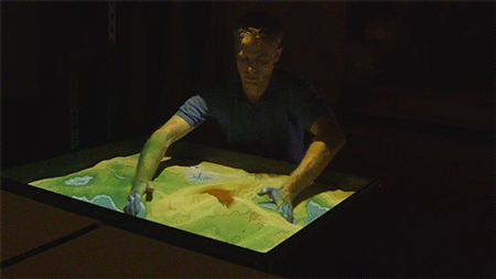
GIS
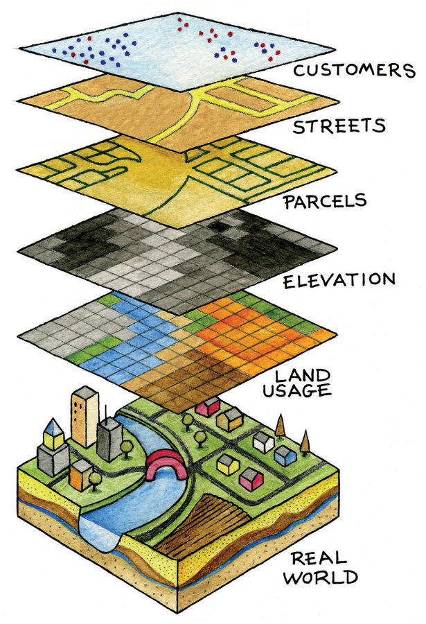
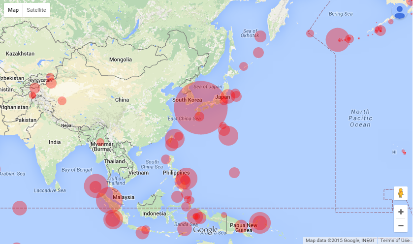
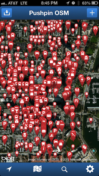
It's all about the visual
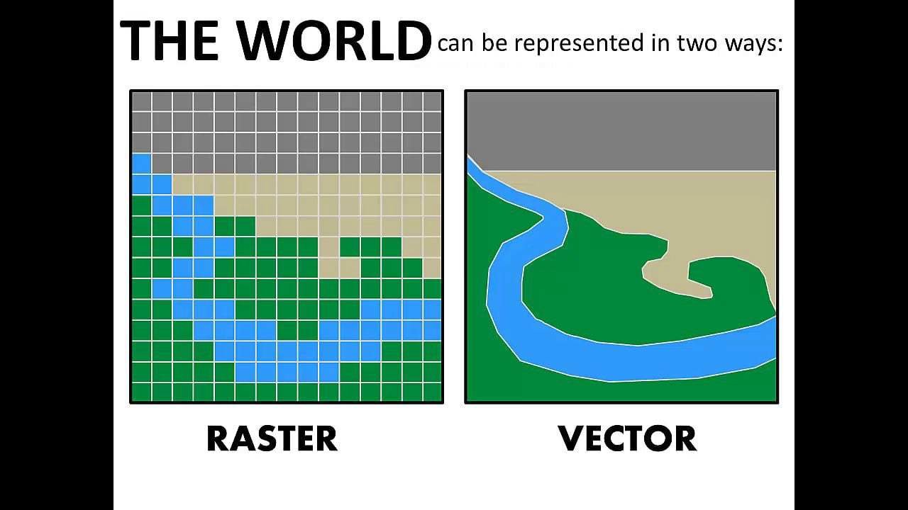
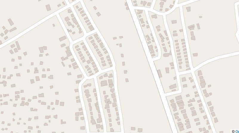
Raster vs Vector
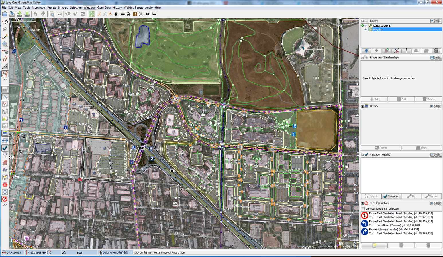
Open Source Tools

Open Source Tools

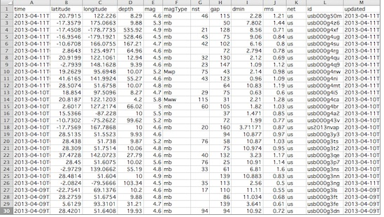
Step 1: Data Acquisition
- Is your file already georeferenced? (.shp, .geojson, .kml)
- If not, you will need to make edits
- Most forms of raw data CAN become map layers
- .csv, .xls - Easier, .txt- More Challenging
Step 2: Data Cleaning
Suggested Fields:
- Object_ID
- Object_Name
- Address
- City
- State
- Zip
- Country
- Latitude
- Longitude
- Geometry
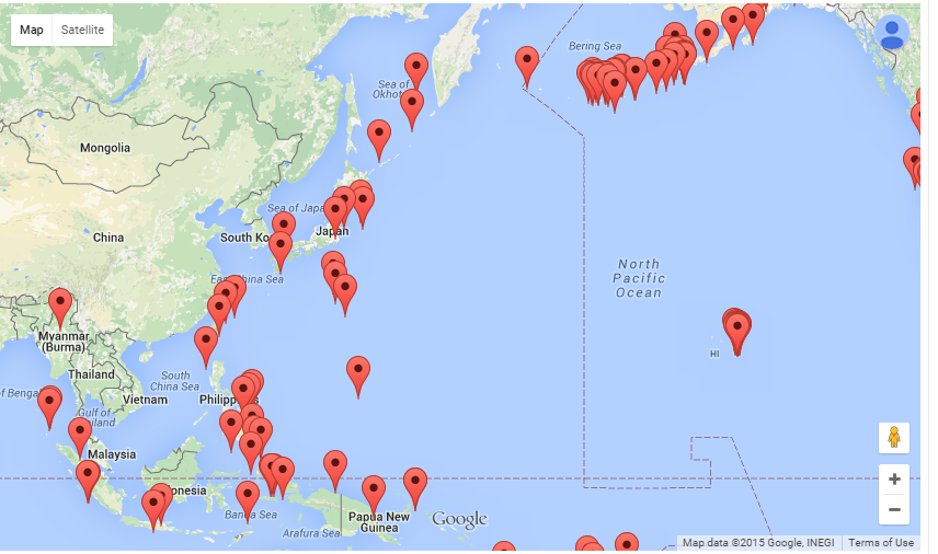
Step 3: Import it!
- Here is when we will make the pretty map
- Best for making changes to individual points
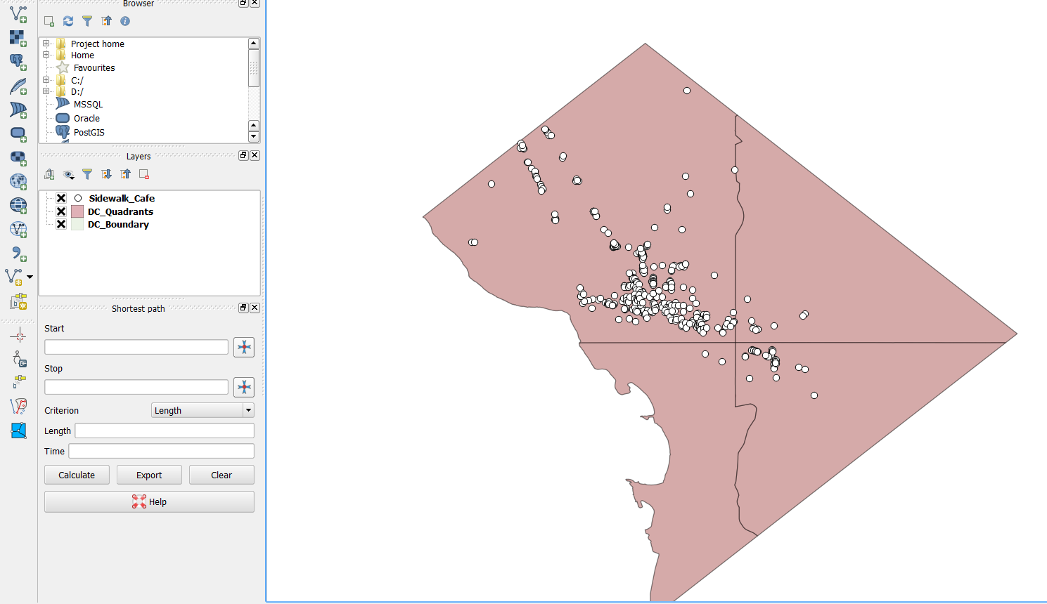
https://github.com/katerabinowitz/OpenDataDayDC2016
First exercise: Mapbox Studio
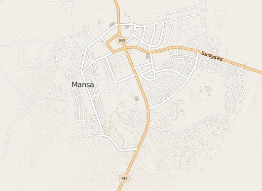
OpenStreetMap
Established in 2004
Open Sourced, Community driven Map
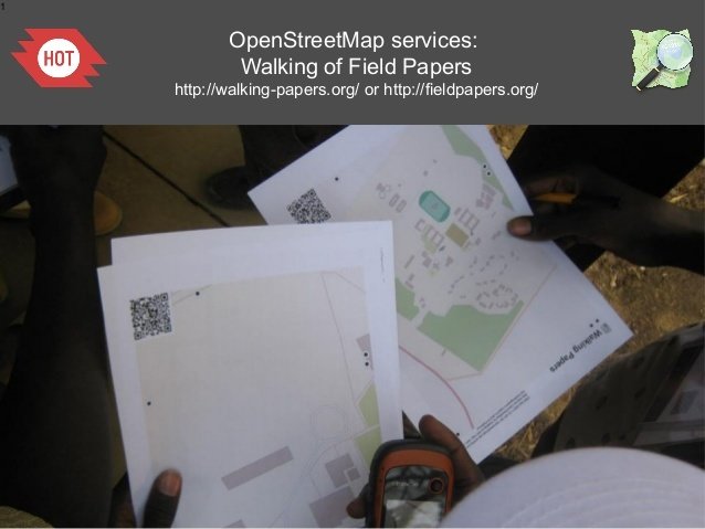
Data Collection
Let's Map
bit.ly/1LF4Mhf
Hit me up!
@lauren_cjay
lcj1188@gmail.com
What Can I do Next?
DC Mapping Meetups:
- Maptime: http://www.meetup.com/Maptime-DC/
- Mapping DC: https://mappingdc.org/
- GeoDC: http://www.meetup.com/Geo-DC/
Intro To Mapping-Open Data Day DC!
By laurencjay
Intro To Mapping-Open Data Day DC!
Introduction to using open source mapping tools, converting raw data into a beautiful map!
