Open Data, Open Maps

DH 102: Data in the Humanities

November 17, 2016

Prof. Mackenzie Brooks

“Open means anyone can freely access, use, modify, and share for any purpose (subject, at most, to requirements that preserve provenance and openness).”

What is open data?

http://opendatahandbook.org/guide/en/what-is-open-data/

  • Interoperability
  • Transparency
  • Assessment
  • Reproducibility
  • Government
  • Civic participation
  • Funding requirements
  • More/better knowledge

Why open data?

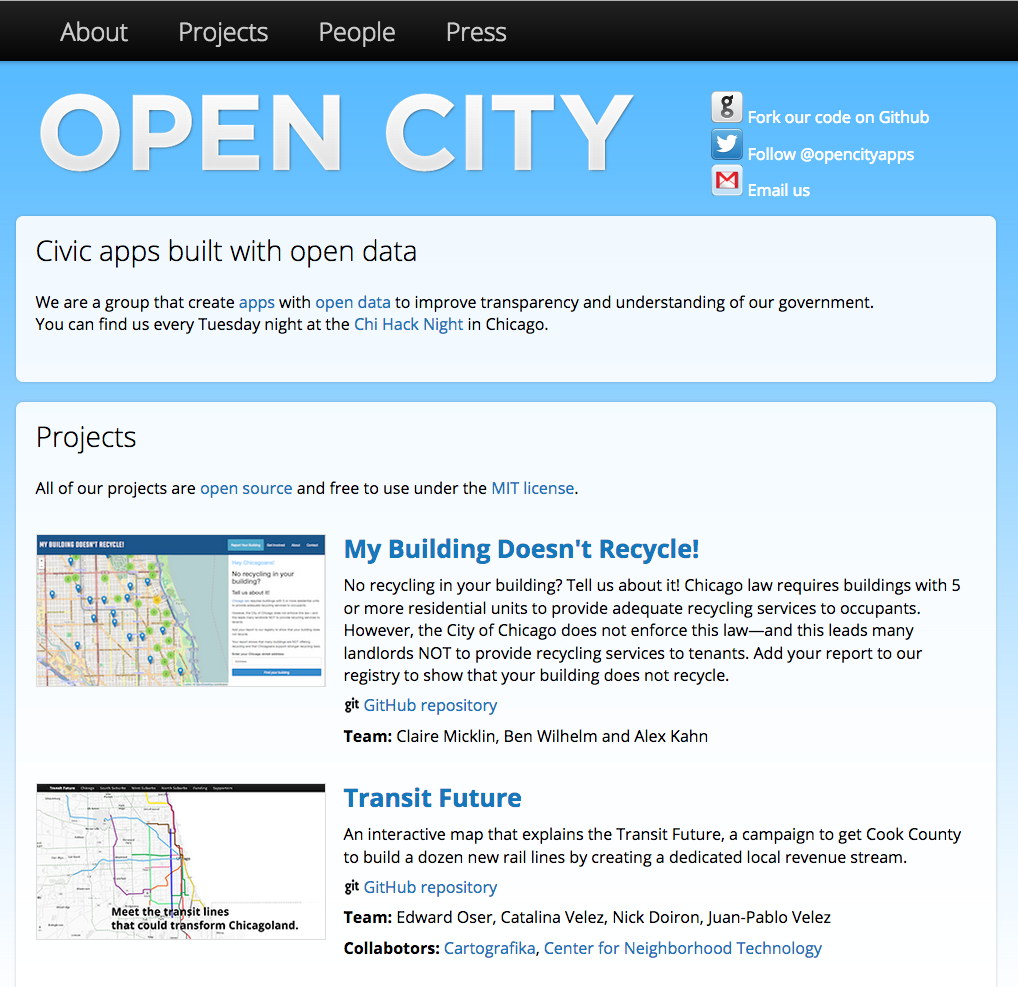
http://opencityapps.org/
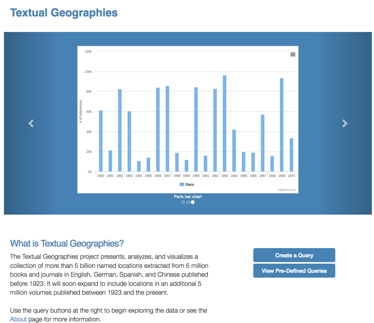
http://txtgeo.net/

Text

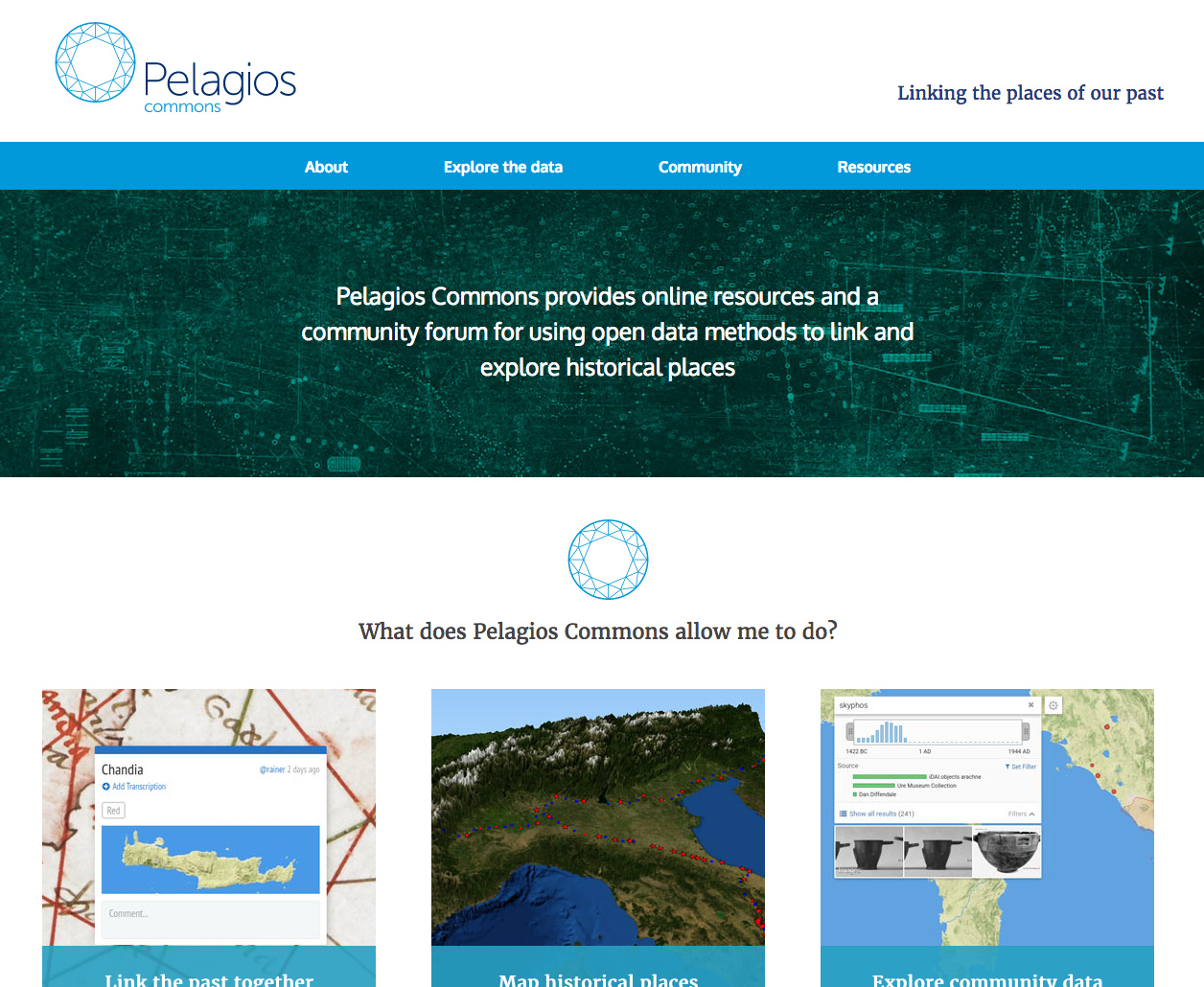
http://commons.pelagios.org/
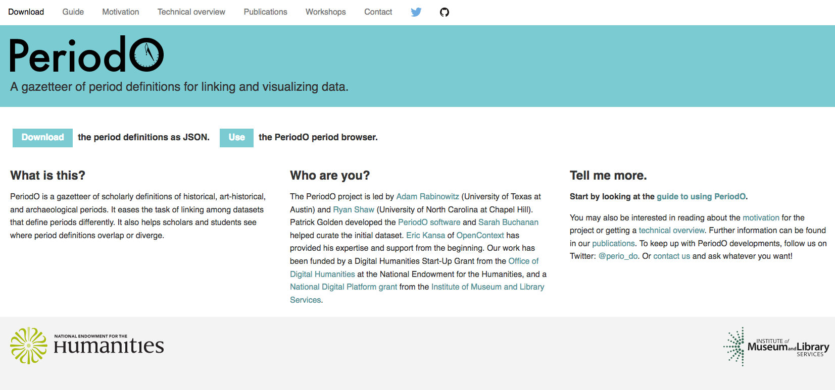
http://perio.do/

How to find open data

  • What discipline/sector?
  • Organizations, societies, nonprofits, agencies, universities, etc.
  • Libraries!
  • Aggregators
    • GitHub > https://github.com/caesar0301/awesome-public-datasets
    • http://www.re3data.org/
    • https://datahub.io/
    • https://aws.amazon.com/public-datasets/
    • http://dataportals.org

How to publish

  • Select your (clean!) data
  • Apply a license
  • Make available for download
    • As bulk download
    • As API
    • On your website
    • In another repository
  • Make it discoverable
    • Identify relevant communities
    • Add to open data registries
    • Add to your project website

Spatial data

  • Raster data = layers historical maps or photographs
    • http://mapwarper.net/
    • .TIFF or .JPG
  • Vector data = layers points, lines, or polygons
    • KML (Keyhole Markup Language)
    • SVG (form of XML)
    • Shapefiles (.shp, .shx, .dbf) mostly open standard by ESRI (Environmental Systems Research Institute)
    • GeoJSON = shapes + geocoordinates


Remember, GIS is a system.


What question do you want to answer with a map?

But I need a map too...

  • libraries! archives!
  • Leyburn Library
    • Special Collections!
    • Digital Sanborn Maps, Virginia
  • David Rumsey Map Collection
  • Digital Public Library of America


https://github.com/OpenGravestones !!!

Mapping tools sandbox

  • Neatline
  • Google Maps
  • qGIS
  • Story Maps (Esri)
  • StoryMapJS
  1. What can it do?
  2. What data does it accept?
  3. Can I add a historical map?
  4. How do I add vector layers?
  5. Where is the base map coming from?
  6. Who created this tool?
  7. Are there tutorials? Good examples?

For Tuesday

  • pick a platform
  • find your data or your data source


11/29 - data work

12/1 - project work

12/6 - project work

12/8 - unit 3 due + presentations!

DH 102: Open Data, Open Maps

By Mackenzie Brooks

DH 102: Open Data, Open Maps

DH 102: Data in the Humanities // Prof. Mackenzie Brooks // 11/17/16

  • 859