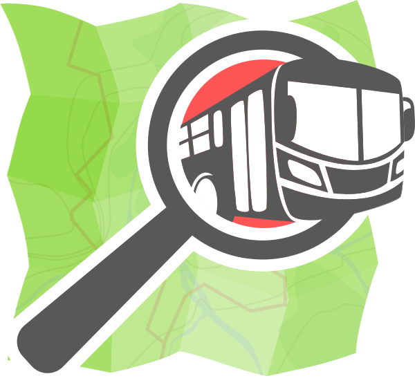
Easy transport
Game changing tools for
transit map crowdsourcing in your city
More than 60% of the cities
in the world don't have any suitable
public transport's map.
Let's fix that.
Current status of transit data
- Information is encapsulated in "gated communities"
- Not interconnectable, no permissive licenses
- Sources for transit Open Data are incomplete or non-existent
- Very few cities have complete public transport information in OpenStreetMap
These are major obstacles for Open Innovation and current challenges such as smart cities.

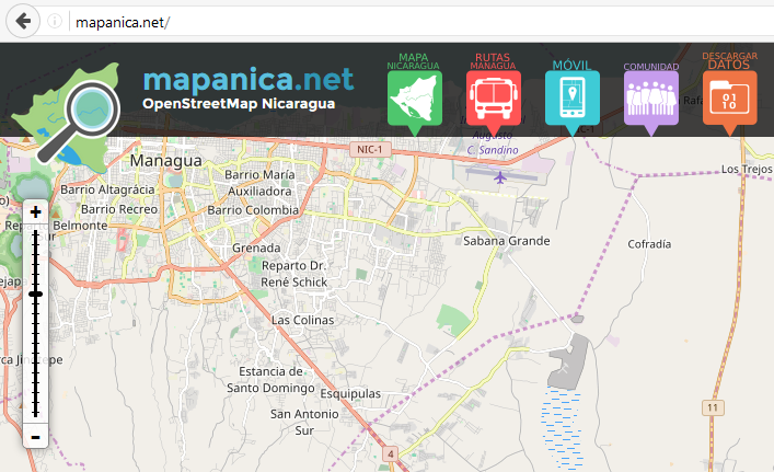
Success story
The Mapanica project

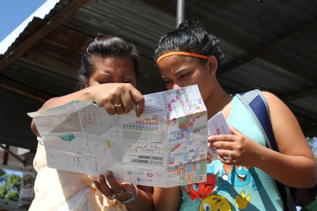
Managua, Nicaragua
- 2 mio. people and no public transport information
- 200 people crowd-sourced the bus map with OpenStreetMap
The Mapanica project
Result: a paper map printed 40 000 times, a website and a mobile app
First transit map of a city in Cental America
The Mapanica project
A replicable experience
Note 1. On site collection is fastidious
Note 2. Quality control of bus lines is currently only possible for experienced mappers
Note 3. The final map lacks readability
We will improve that.
OpenStreetMap community and transport data
Community of Practice
Share values, goals, practices, means of collaboration
Action
Interest
User
Share values, goals, practices, means of collaboration
Share goals, ideas
Value the data
Not aware of OSM
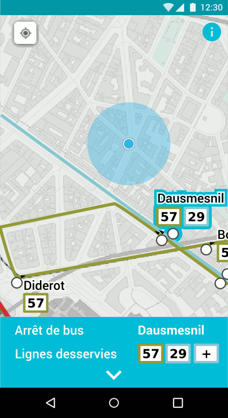
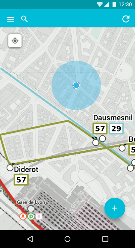
Easy Transit
Editing
Easy Transit
Mobile app
Easy Transport mobile app
The mobile app so-simple-that-even-my-mom-can-use-it to create bus lines in OpenStreetMap
On-site collection optimised
Automatic publishing in OpenStreetMap
Mobile app
Beta version
- Android app:
- Transport map as a main screen
- Possible actions:
- Create / move / delete bus stops
- Edit basic bus stops details: name, direction, bus line(s)
Mobile app
Version 1
Improvements of the beta version:
- Worldwide coverage
- Offline edit possible
-
Possible actions:
- Contribute with your OSM account
- Edit more bus stop details: shelter, bench, disabled access...
- Edit bus line road sections
- Languages fr/en/de/es/ar
Evolution of JOSM plug-in PT_assistant

JOSM is the best tool used by OpenStreetMap contributors.
The PT_assistant plug-in, already existing, allows to check transport networks quality.
We will create a super-easy interface to easily approve quality of a transport network over a whole city.
Rendering
Current style
Future style
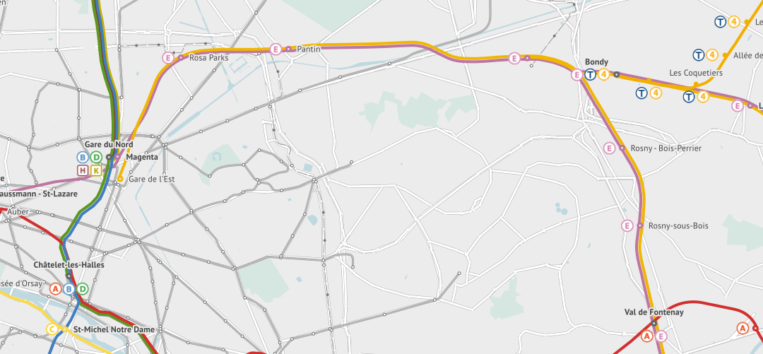
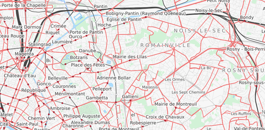
This in only a prototype highlighting railways
We will develop a brand new map style that highlights public transport network by type of transport and by line.
Community oriented project
Our tools are
- Simple. Real simple!
- Beta tested & improved by mappers
- Built on top of existing solutions
- Multilingual by design
- Open Source code
This is an open and documented project
3 phases
Beta
Easy Transit
Editing
Easy Transit
Mobile app
PHASES
1
Version 1
2
Transit line editing
Bus line collecting
Advanced
editing
3
Optimized interface & more features
Transit network editing
New smart features
Rendering
Basic
Worldwide
OpenStreetMap as a hub
Easy Transit
Editing
Easy Transit
Mobile app
Submit
data
Open Data
Transport apps
Use
data
Bus only
All transit networks
Our vision
Game changing tools for crowdsourcing transit,
created by the community for the community
OpenStreetMap is already the reference for geographic Open Data, it will soon become
THE HUB for Open transit Data
A team of OpenStreetMap lovers
& transport passionate
Florian Lainez is a Digital consultant that worked for several transportation companies.
He is also an active member of the French OSM community.

Felix Delattre is working as a Digital Media and Geo-Information-Systems consultant.
His focus is on innovation through Open Data, Free Software and Participatory Technologies.

They support us
more to come soon...
OpenStreetMap
Lebanon
Easy Transport
By overflorian
Easy Transport
Extra easy tools for transport mapping in OpenStreetMap


