Fundamentals of Geographic Information Science (GISci) (EARTHSYS-144)
Week 00: Logistics and Welcome!
where is your data? gis.stanford.edu
Waldo Tobler's 1st Law of Geography
"everything is related to everything else, but near things are more related than distant things."
Stace's 1st Law of Geography
Everything is somewhere, and that somewhere matters."
Learning Objectives
The goal of this course is to provide students with hands-on experience in using the latest geospatial methodologies, and to establish the foundation for students to use “spatial thinking” and spatial technologies to enhance their future research and work.
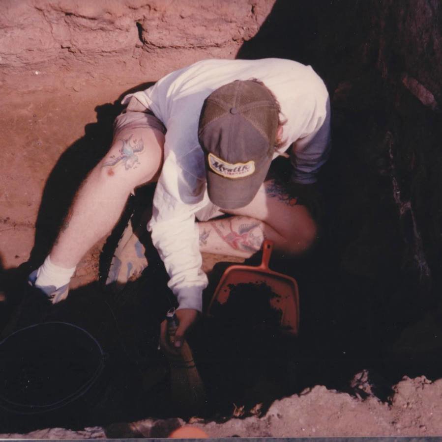
Be this...


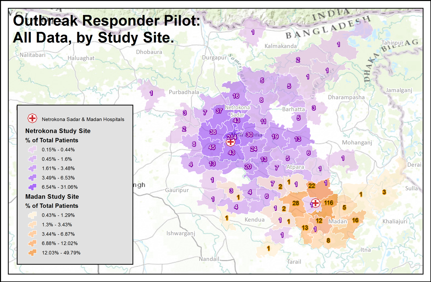
not this...
Teaching Team:
- Stace Maples (maples@stanford.edu)
- Slack: mapninja
- Zoie Chang (zochang@stanford.edu)
- Maya Passmore (marykwas@stanford.edu)
- Serena Turner (serena25@stanford.edu)


We have an anonymous feedback form, too!
Use this for any issues you want to bring to our attention!
slack


Grading
Lab exercises 50%
Midterm exam 20%
Final exam 20%
Mini-project 10%
Textbooks:
Required: Bolstad, Paul. GIS Fundamentals: A First Text on Geographic Information Systems. Sixth Edition
Highly Suggested: Tomlin, C. Dana. GIS and Cartographic Modeling. 2013
Required: Bolstad, Paul. GIS Fundamentals: A First Text on Geographic Information Systems. Sixth Edition
Highly Suggested: Tomlin, C. Dana. GIS and Cartographic Modeling. 2013
Technology Requirements
This course is about using technology in research, and so will require some basic computer access.
At a minimum, students will need
- Access to the internet
- A laptop or desktop computer capable of running a modern web browser
- A mobile-phone for the Field Data Collection Lab assignments.
Software and data will be provided, and Stanford-provided storage (Google Drive, box.com (Links to an external site.), etc…) should be sufficient for all labs and projects.
Methods of Instruction
In-person lecture & demonstration, weekly in-person computer labs, mini-project, in-class collaboration, discussion and guest speakers.
Office Hours:
Office hours are combined with Labs, for the teaching assistants, so you may "drop-in" for assistance with them during scheduled lab times.
To grab a zoom or in-person meeting with Stace, you can "Schedule an appointment" at gis.stanford.edu
Labs:
- Labs will be open, and you can attend any lab that is most convenient for you.
- You do not have to re-enroll to reflect the section you want to attend.
- Anyone unable to attend one of the scheduled labs will be assigned a TA of first contact, and can ALWAYS make an appointment with Stace for help!
Final Mini-Project
- Begin with no more than 2 datasets (derive as many as you need from these to complete your task)
- This project should be your expression of your research (or personal) interests and the application of geospatial technologies to those interests.
- Use StoryMaps to present your final project
- Creative expression is highly encouraged!
Final Mini-Project
- Project proposal – (max 1 page, or 500 words) - due Week 4:
- Final Project (max 2 pages, or ~1000 words, excluding maps & figures) – due Final Day of Classes
- Esri Storymaps required for final deliverable.
Places to get ideas:
- Your other classes! Double-up!
- Your thesis, paper, current research, etc...
- A need in your community that can be addresses with spatial data
- Write a tutorial!
- Esri Map Book
- learn.arcgis.com - use one of these workflows for a place you are interested in (bonus for converting to a QGIS or GEE workflow!)
The most important component of your project is that you bring YOUR interest to it!
Breathe Deep
This is going to be fun!
Week00 - Course Logistics (Cumulative)
By Stace Maples


