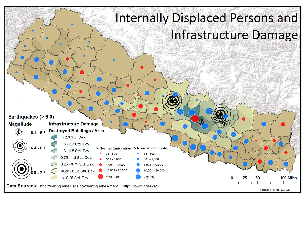
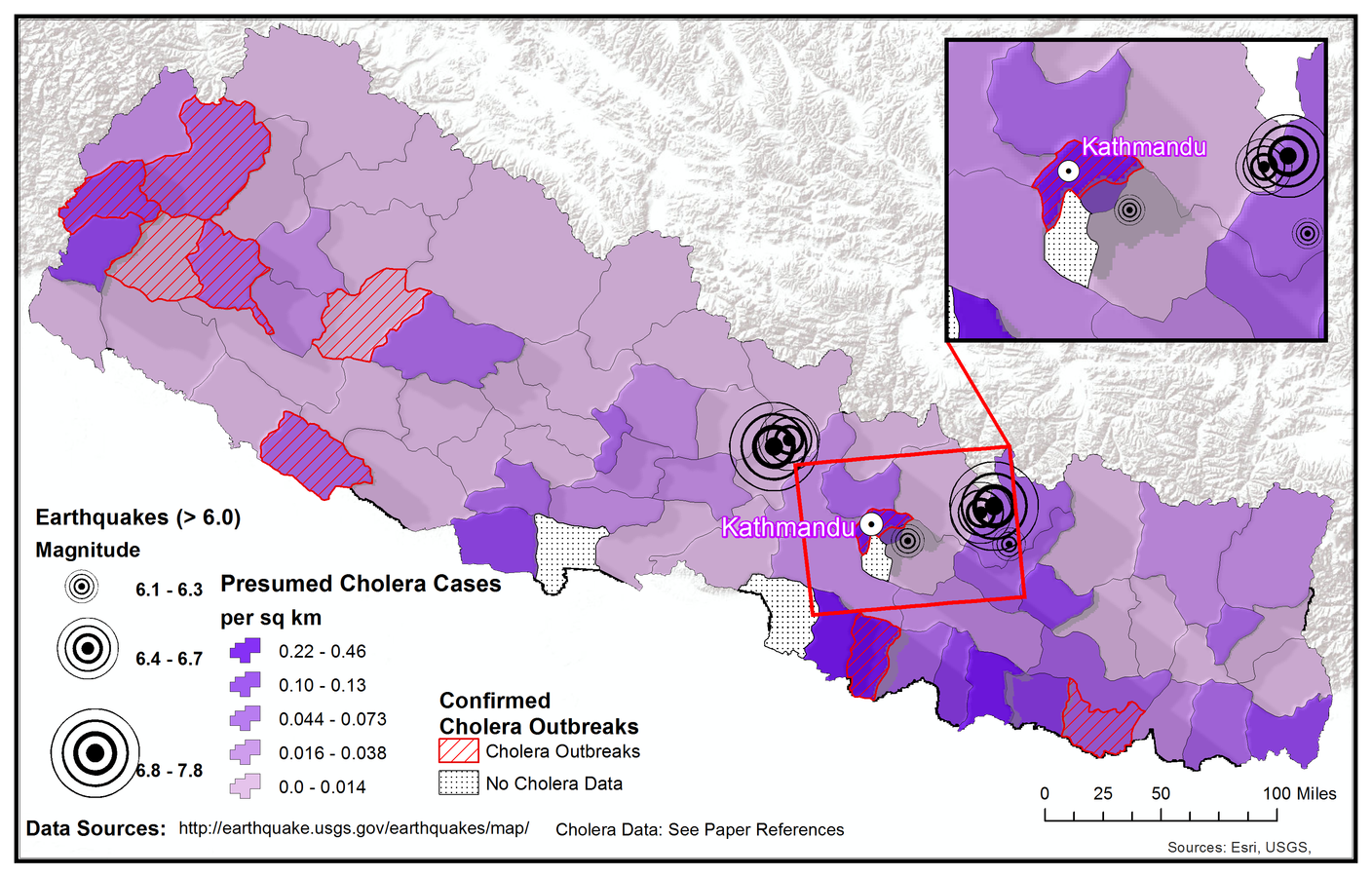
Fundamentals of Geographic Information Science (GIS) (ESS-164/EARTHSYS-144)
Week 1: Logistics and Welcome!
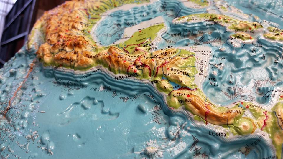
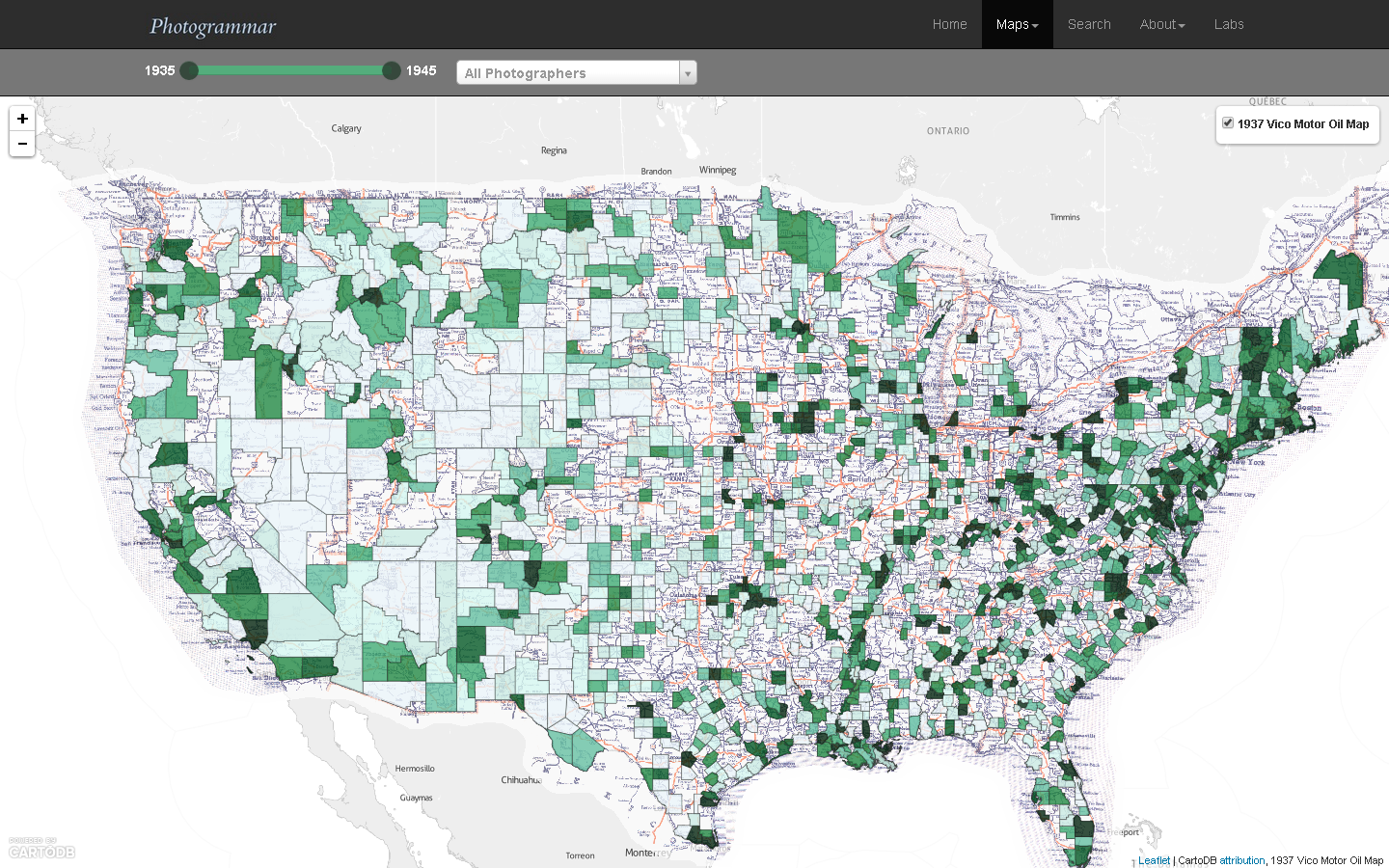
where is your data? gis.stanford.edu
https://slides.com/staceymaples/toagsak/live
Title Text
https://slides.com/staceymaples/toagsak/live
We've got a few questions about your access to technology, timezones, etc... for planning purposes. Please, as soon as possible fill out this form:
https://forms.gle/RtuncGieqRnozHET8 (Links to an external site.)
We've also made an anonymous form you can submit any ideas, issues or concerns you have, so that there won't be any barrier to feedback you think we need to hear:
Instructors:
Stace Maples
(maples@stanford.edu) / Stanford Slack: @mapninja
Lucy Culpepper Edy
(lcedy@stanford.edu) / Stanford Slack: @Lucy Edy
Jacob Sujin Kuppermann
(jkupperm@stanford.edu) / Stanford Slack: @Jkupperm
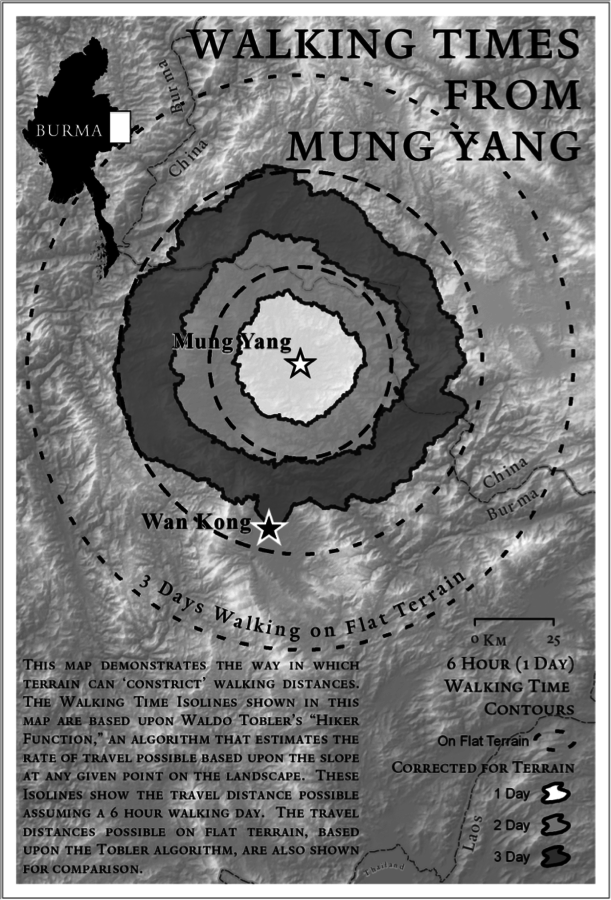
Waldo Tobler's 1st Law of Geography
"everything is related to everything else, but near things are more related than distant things."
Stace's 1st Law of Geography
Everything is somewhere, and that somewhere matters."
Learning Objectives
The goal of this course is to provide students with hands-on experience in using the latest geospatial methodologies, and to establish the foundation for students to use “spatial thinking” and spatial technologies to enhance their future research and work.
Be this...


not this...
Methods of Instruction
Live & asynchronous lecture & demonstration, weekly asynchronous & live computer labs, mini-project, in-class collaboration, discussion and guest speakers.
Lectures:
Monday, 10am – 11:20am
- Attendance is highly encouraged, but not required.
- Pre-recorded lectures will be provided at least 1 week prior to class meetings.
-
Class meetings will provide
- live overview of the pre-recorded lectures
- Q&A
Live Lecture Sessions will be recorded and posted to Canvas
Labs:
Wednesday, 10am – 11:20am
- Attendance is highly encouraged, but not required.
- Recordings of Lab Sections will be sent to Canvas after each lab meeting
-
Lab meetings will provide
- live overview of the Lab Assignment
- Demonstration of skills required to complete
- Q&A
There are 7 mandatory lab assignments for the class.
- The labs are essential for integrating theory from lecture with hands-on experience.
- Labs are assigned each week in the lecture session and due the following week.
- All labs must be uploaded to the Canvas class website by the deadline specified in class.
- For most lab assignments, students should plan on working one to two hours.
Remember to always contact the instructor or TA before, or if, you miss anything.
Final Mini-Project
- Project proposal – (max 1 page, or 500 words) - due Week 4:
- Final report (max 2 pages, or ~1000 words, excluding maps & figures) – due Week 10:
- Final Presentation - Each project submission should be accompanied by a final presentation of their project, to be submitted as a short (less than 5 minutes) video.
Schedule
| Week | Topic | Due |
|---|---|---|
| 1 | Logistics & Introduction to Spatial concepts and applications | Lab 0 & Preparations |
| 2 | Cartographic Modeling, Vector & Raster data models; Datums, Coordinate Systems & Projections | Lab 1 Due Friday |
| 3 | Data Acquisition, Creation & Georeferencing; Cartography & Presentation | Lab 2 Due Friday |
| 4 | Attribute Data Management; Table and spatial query | Project Proposals Due Friday |
| 5 | Web maps: How they work and how we build them; Geocoding and other APIs for Spatial Data | Lab 3 Due Friday |
| 6 | Overlay and Distance; Spatial Statistics & Interpolation | Lab 4 Due Friday |
| 7 | Introduction to Raster Analysis; Terrain Analysis | Lab 5 Due Friday |
| 8 | Map Algebra | Lab 6 Due Friday |
| 9 | Remote Sensing of the Earth; Drones, Machine Learning and other Earth-Observing | Lab 7 Due Friday |
| 10 | GPS System & Building Field Data Acquisition apps; Crowdsourcing; Future Trends | Final Projects Due Wednesday |
Grading
Lab exercises 50%
Project Proposals 10%
Final Project 30%
Project Presentations 10%
Dates to Remember:
Project Proposal Due: Friday, Oct. 9, Week 4
Project Report Due: Wednesday, Nov. 18th, Week 10
Office(less) Hours:
TBD
At least 3 Office Hours sessions per week, at widely different day/times.
Based on feedback from the form sent in the first announcement, so if you haven't...
PLEASE COMPLETE THAT FORM FOR US NOW!!
slack
earthsys-144.slack.com

Textbooks:
Required: Bolstad, Paul. GIS Fundamentals: A First Text on Geographic Information Systems. Sixth Edition
Highly Suggested: Tomlin, C. Dana. GIS and Cartographic Modeling. 2013
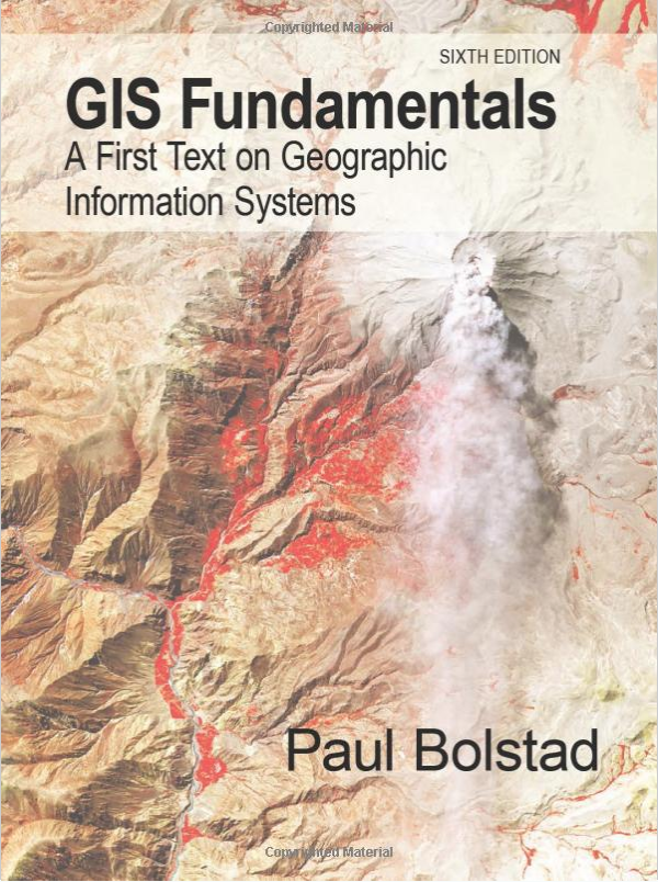
Required: Bolstad, Paul. GIS Fundamentals: A First Text on Geographic Information Systems. Sixth Edition
Highly Suggested: Tomlin, C. Dana. GIS and Cartographic Modeling. 2013
Technology Requirements
This course is about using technology in research, and so will require some basic computer access.
At a minimum, students will need
- Access to the internet
- A laptop or desktop computer capable of running a modern web browser
- A mobile-phone for the Field Data Collection Lab assignments.
Software and data will be provided, and Stanford-provided storage (Google Drive, box.com (Links to an external site.), etc…) should be sufficient for all labs and projects.

Breathe Deep
This is going to be fun
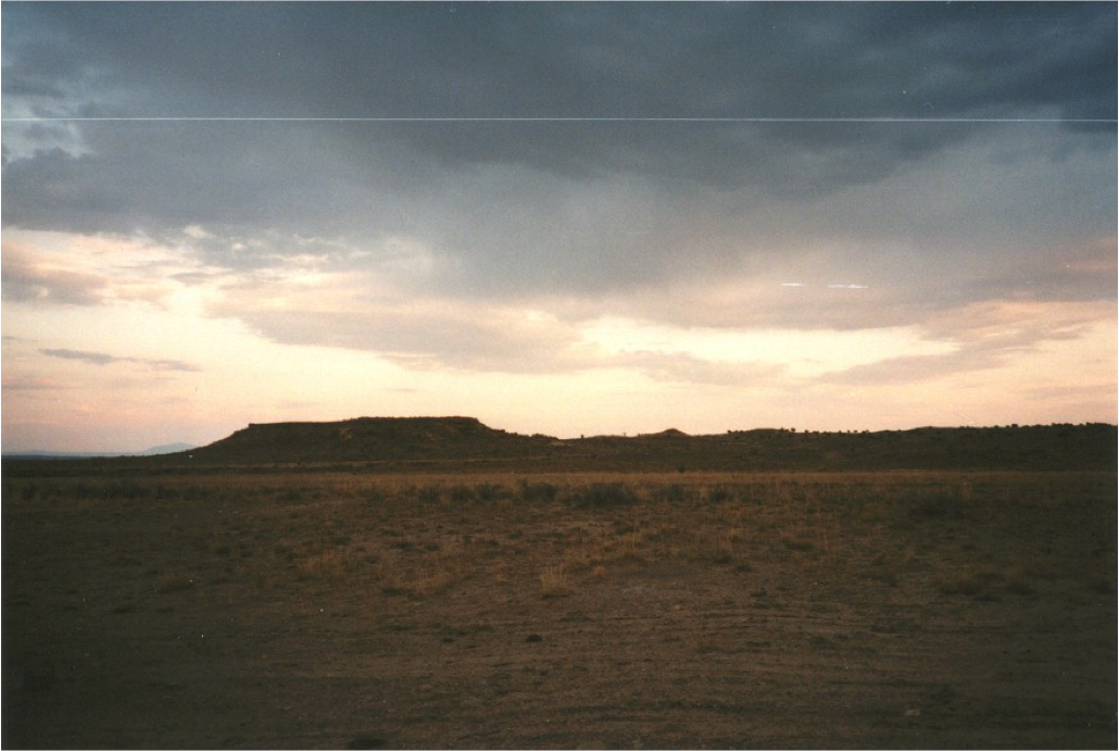
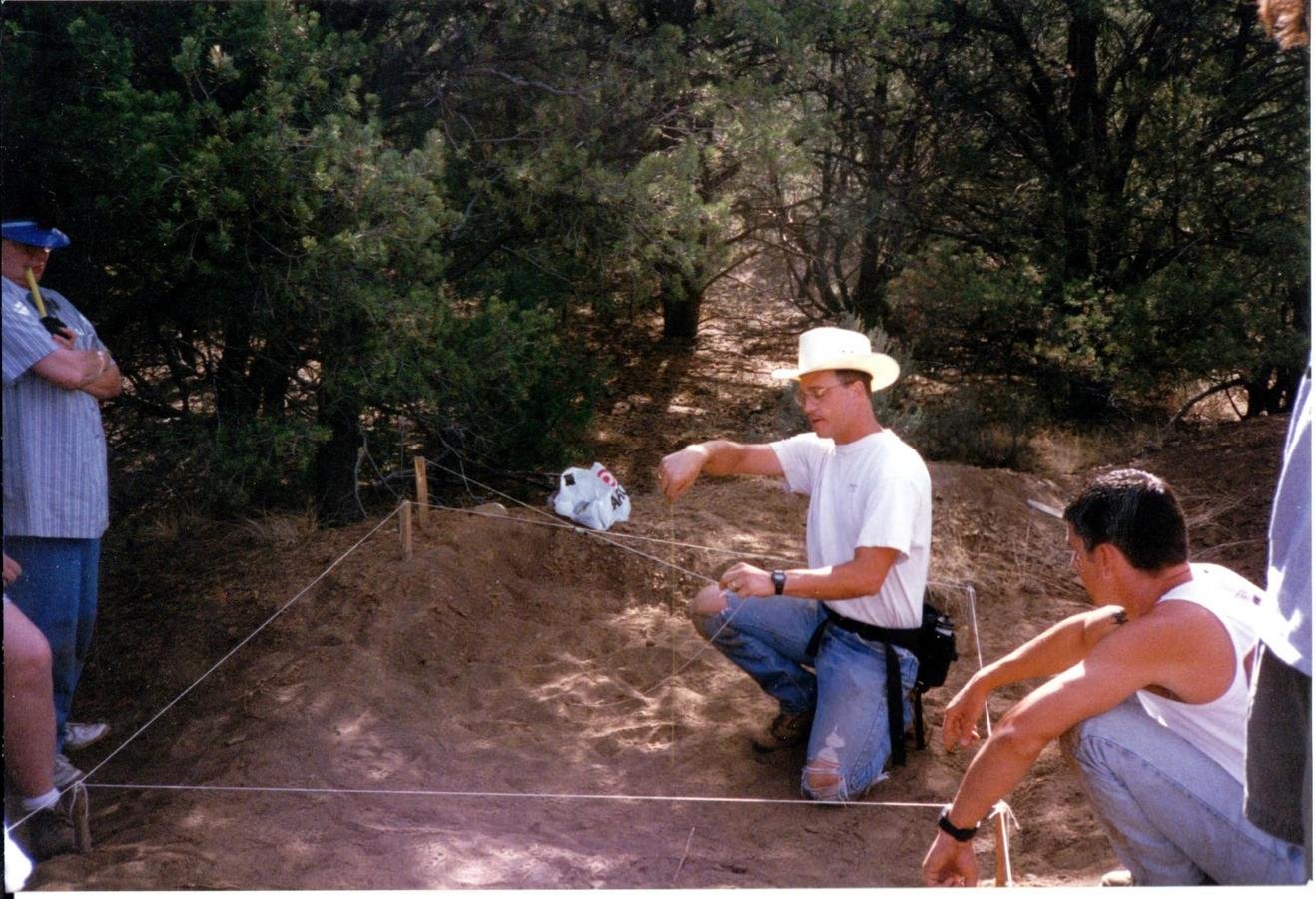
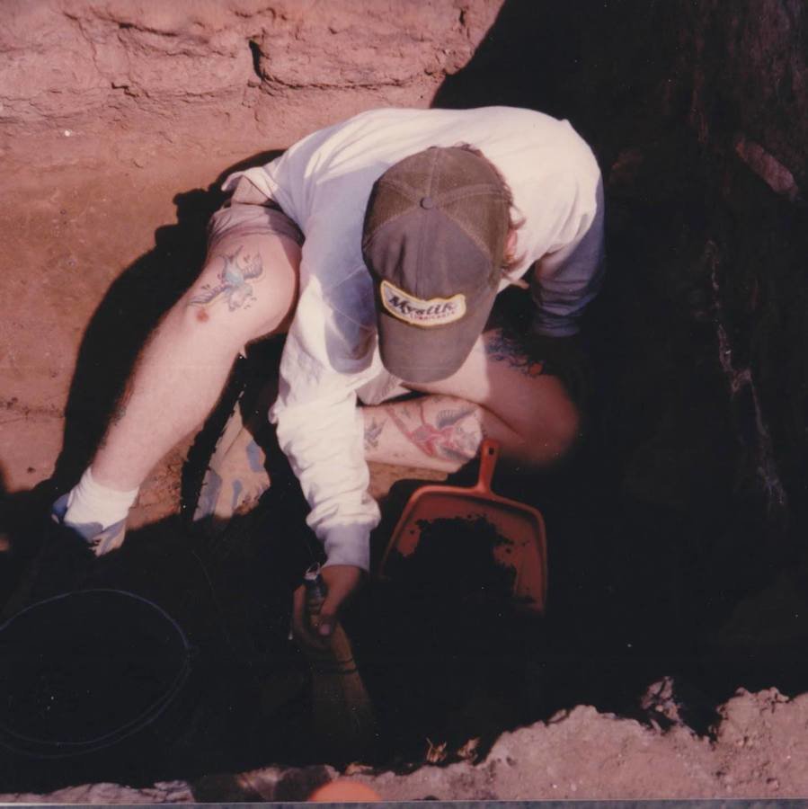
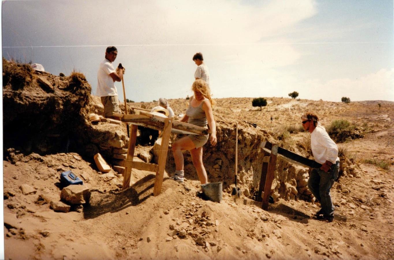
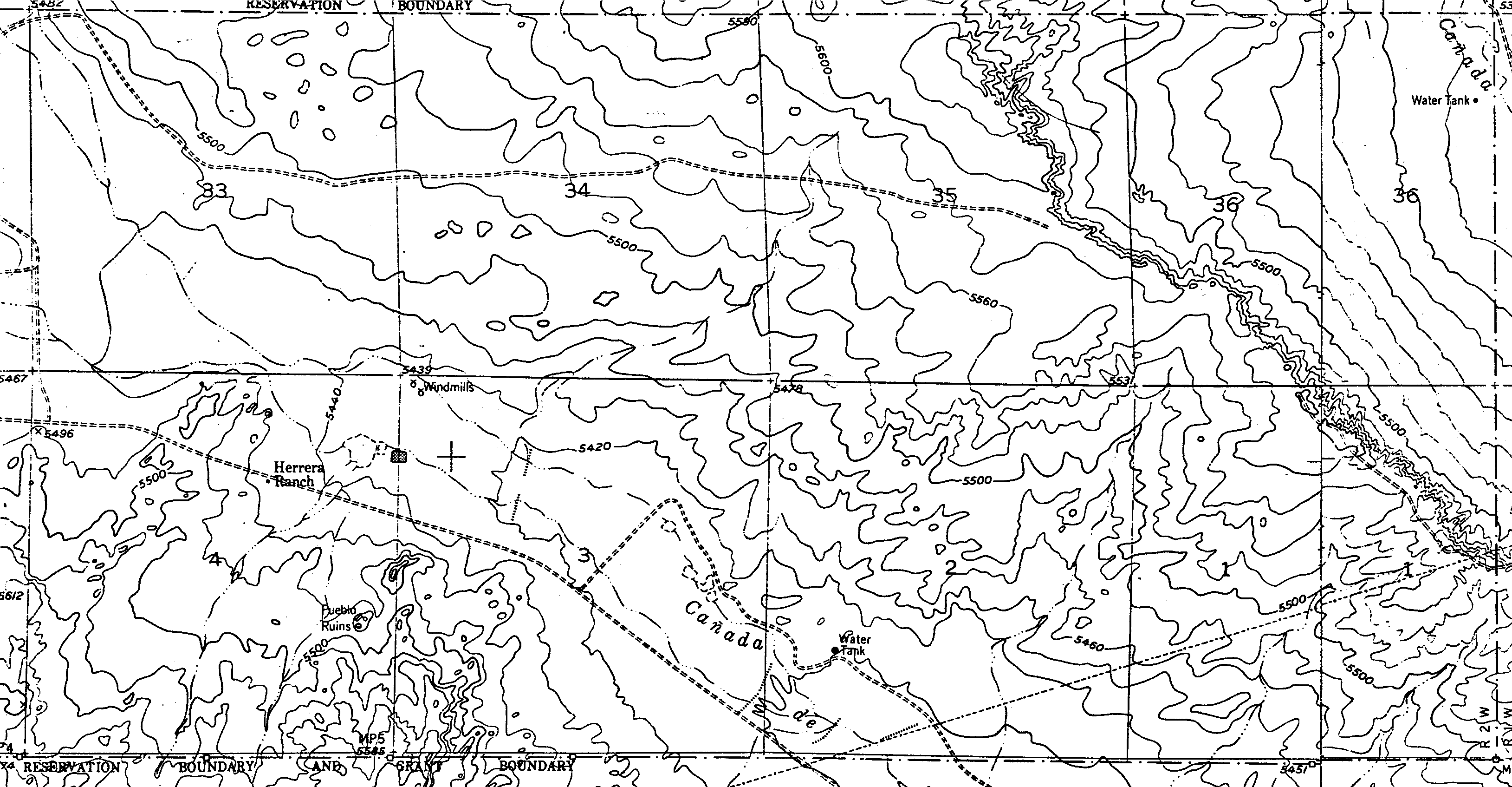
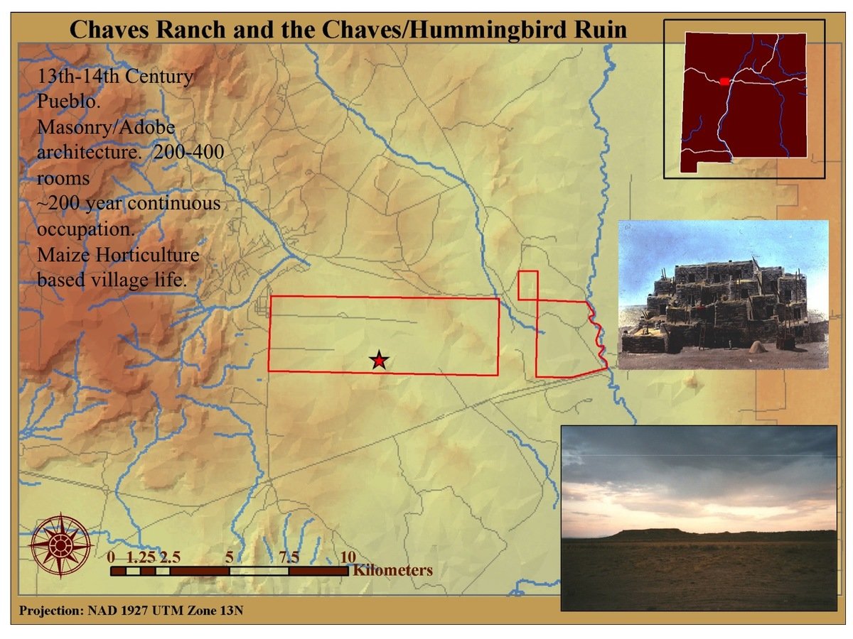
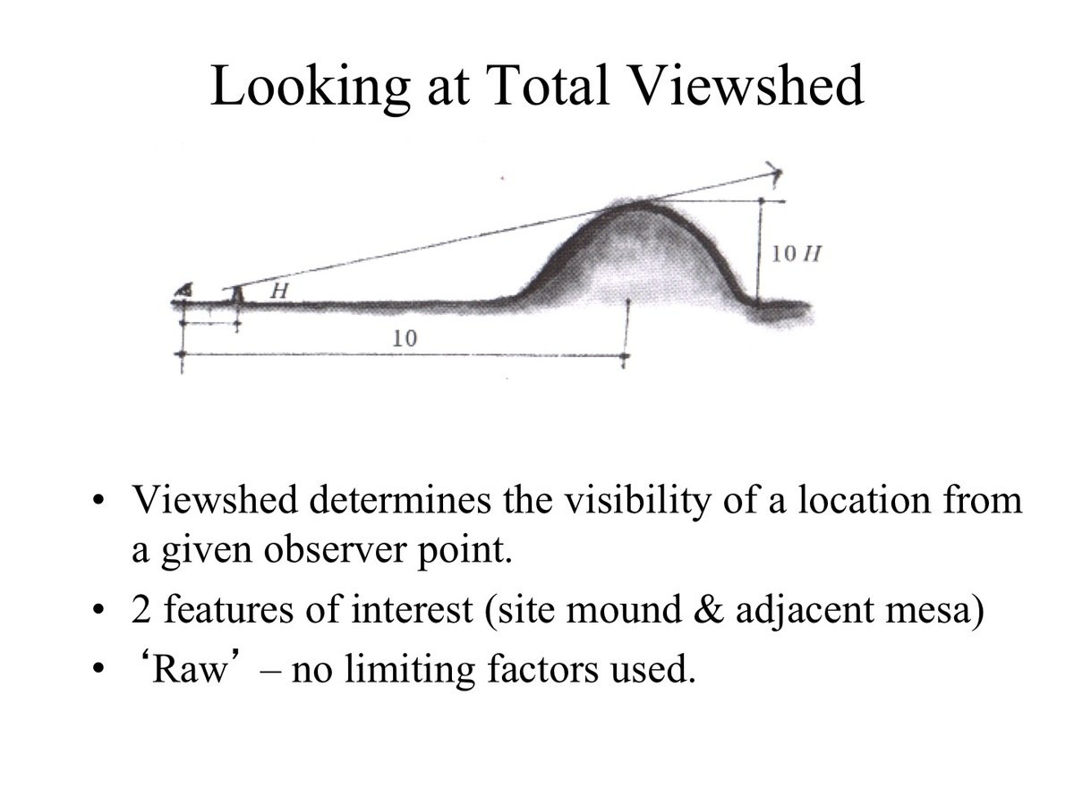
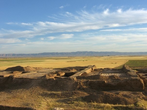
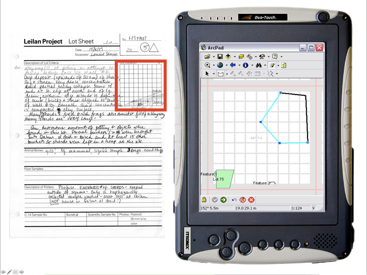
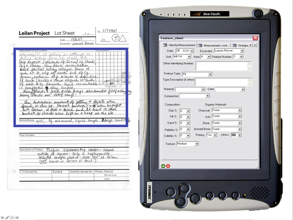
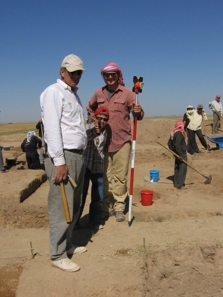
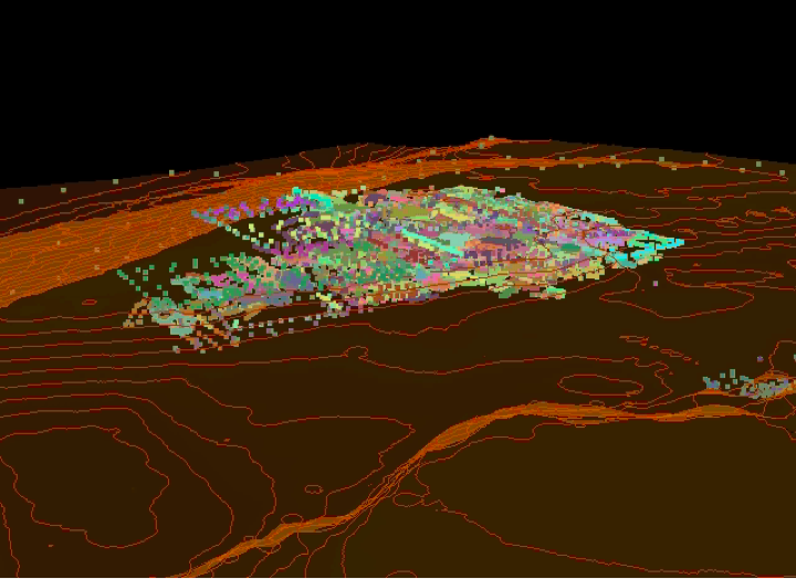
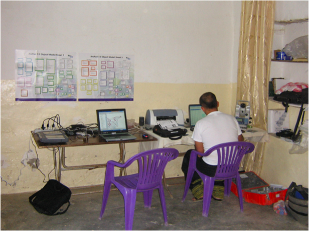
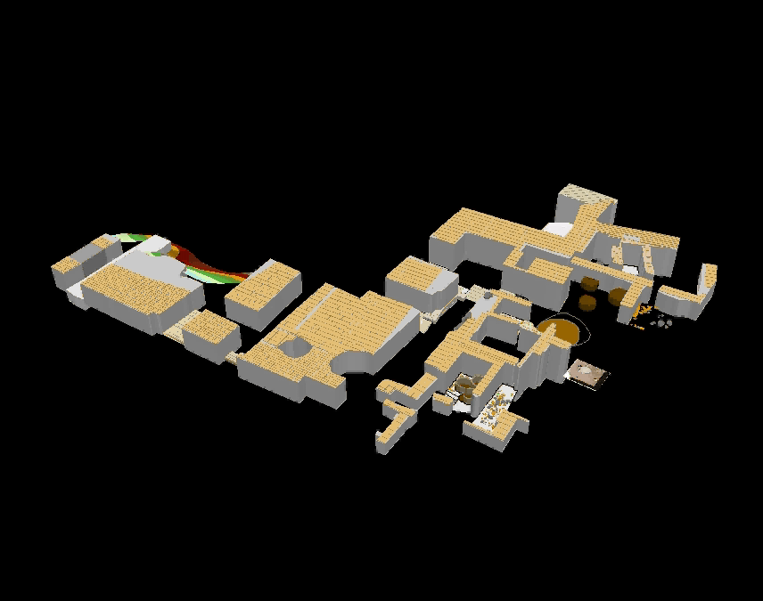
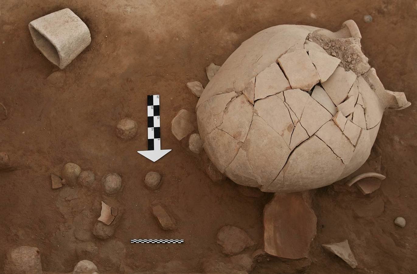
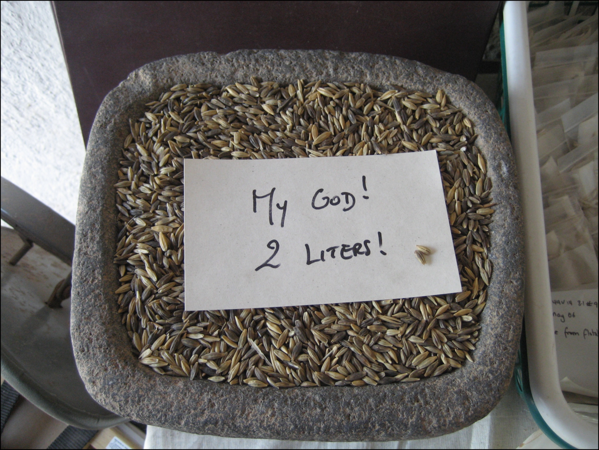
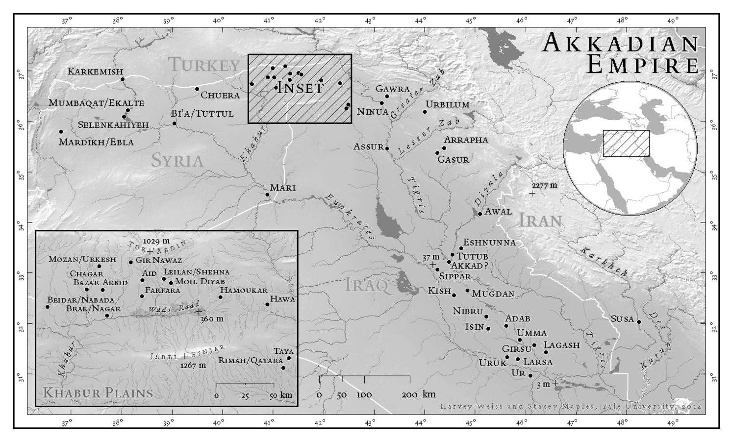
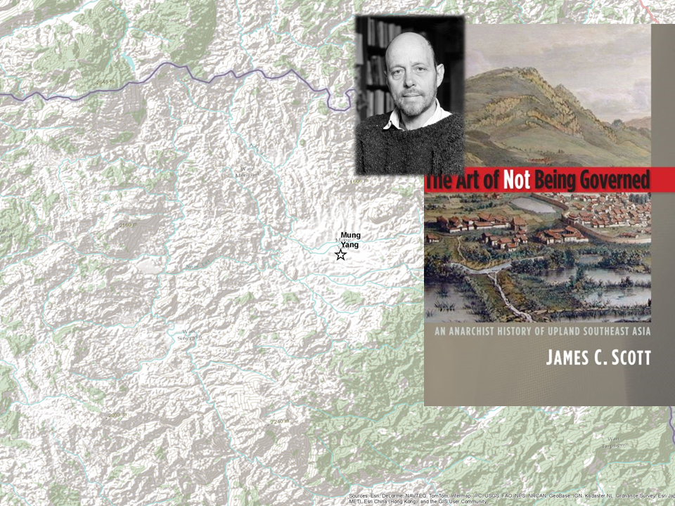
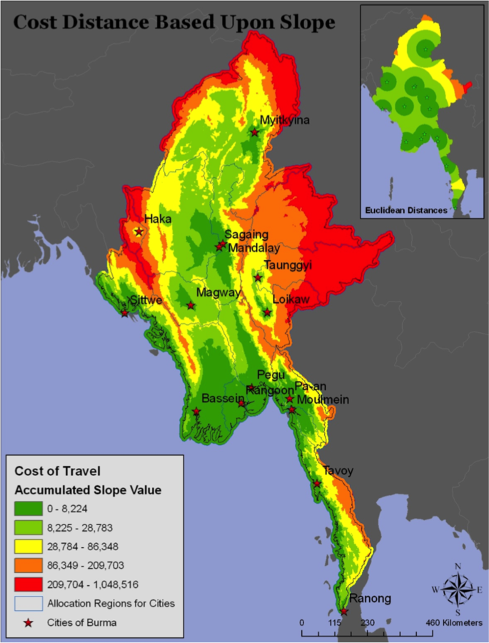
How I came to GIS
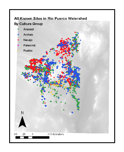
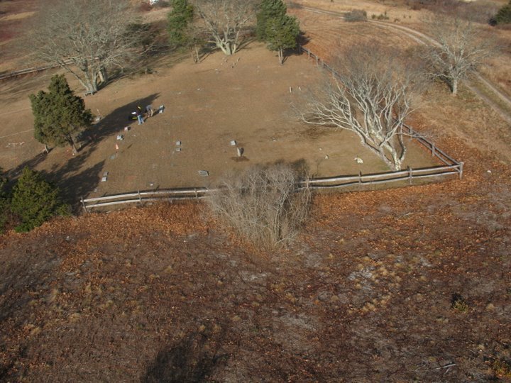
Learning Archaeology, An awful senior thesis, heading North


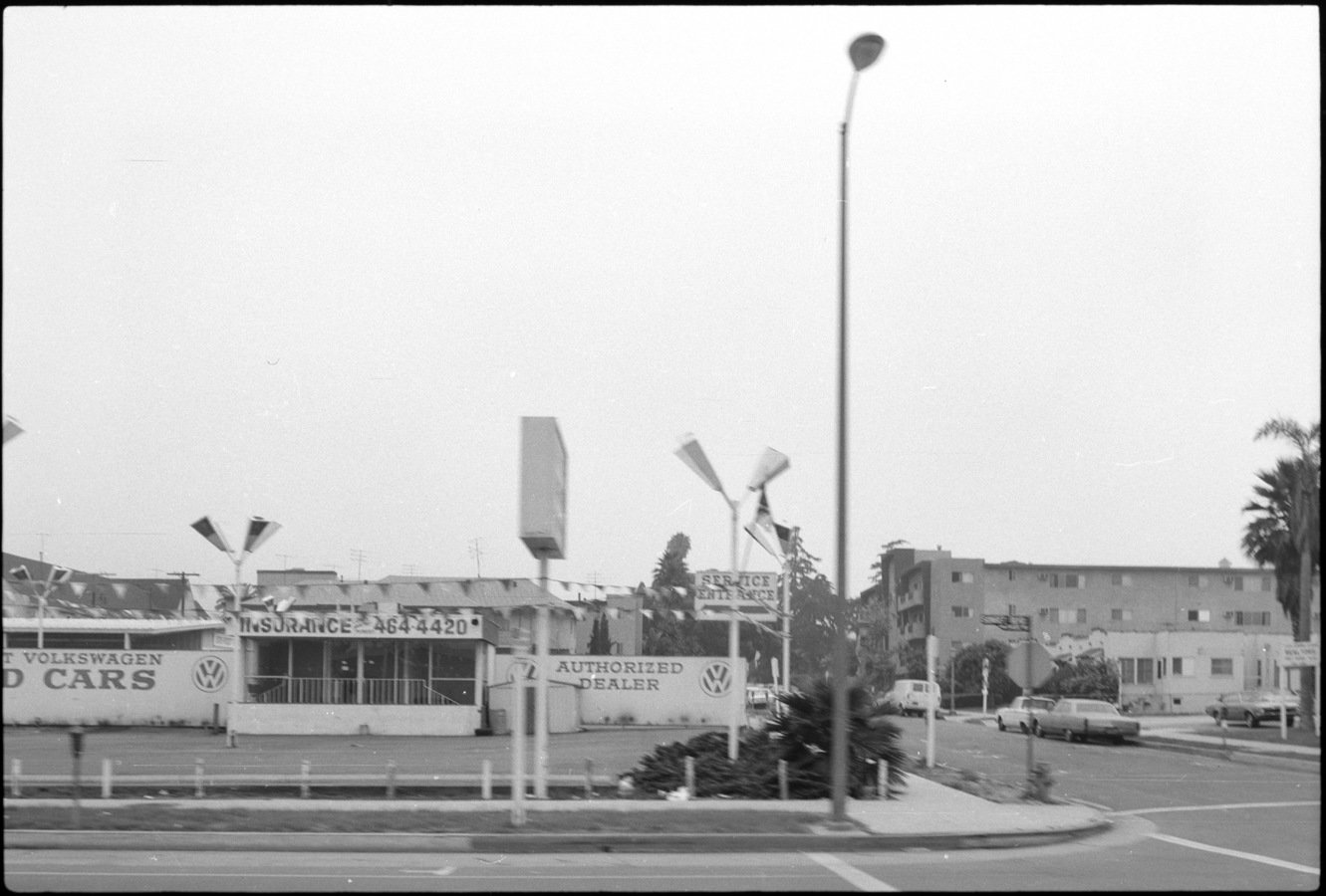
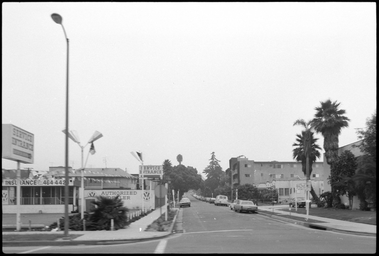
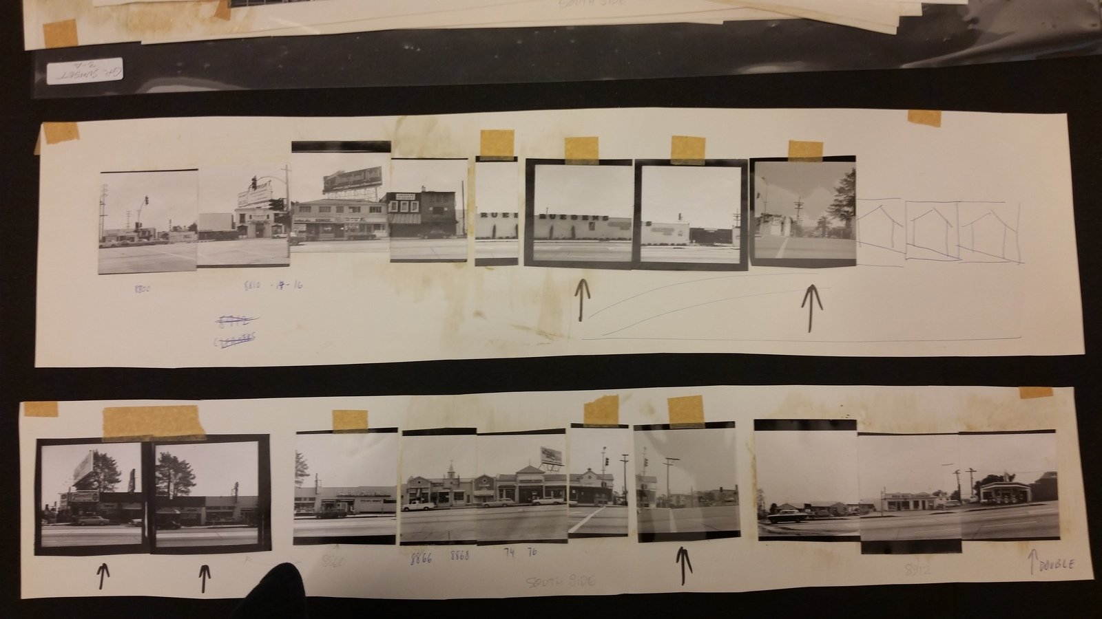
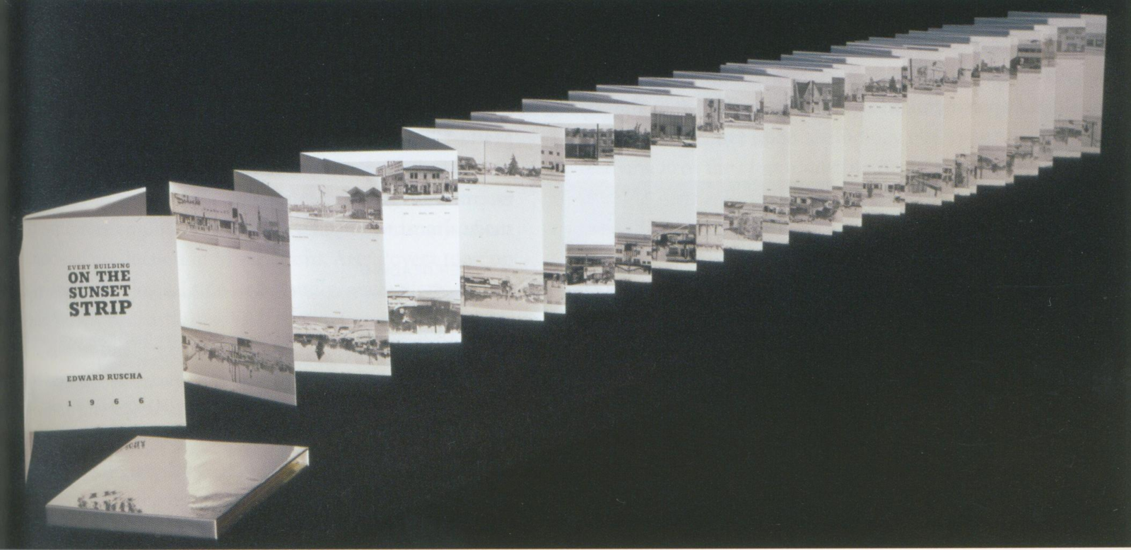
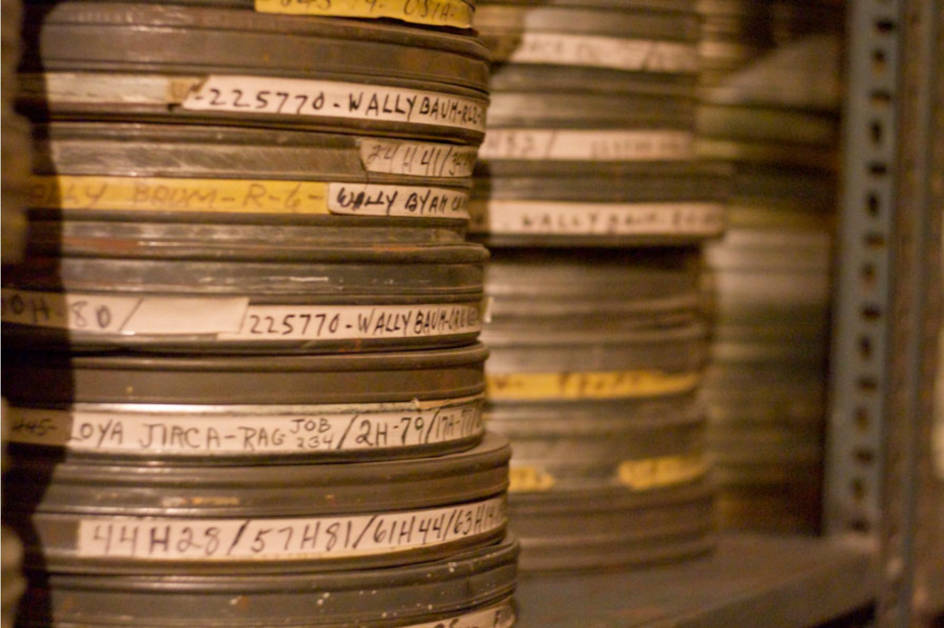
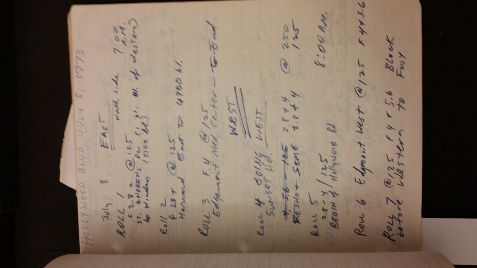
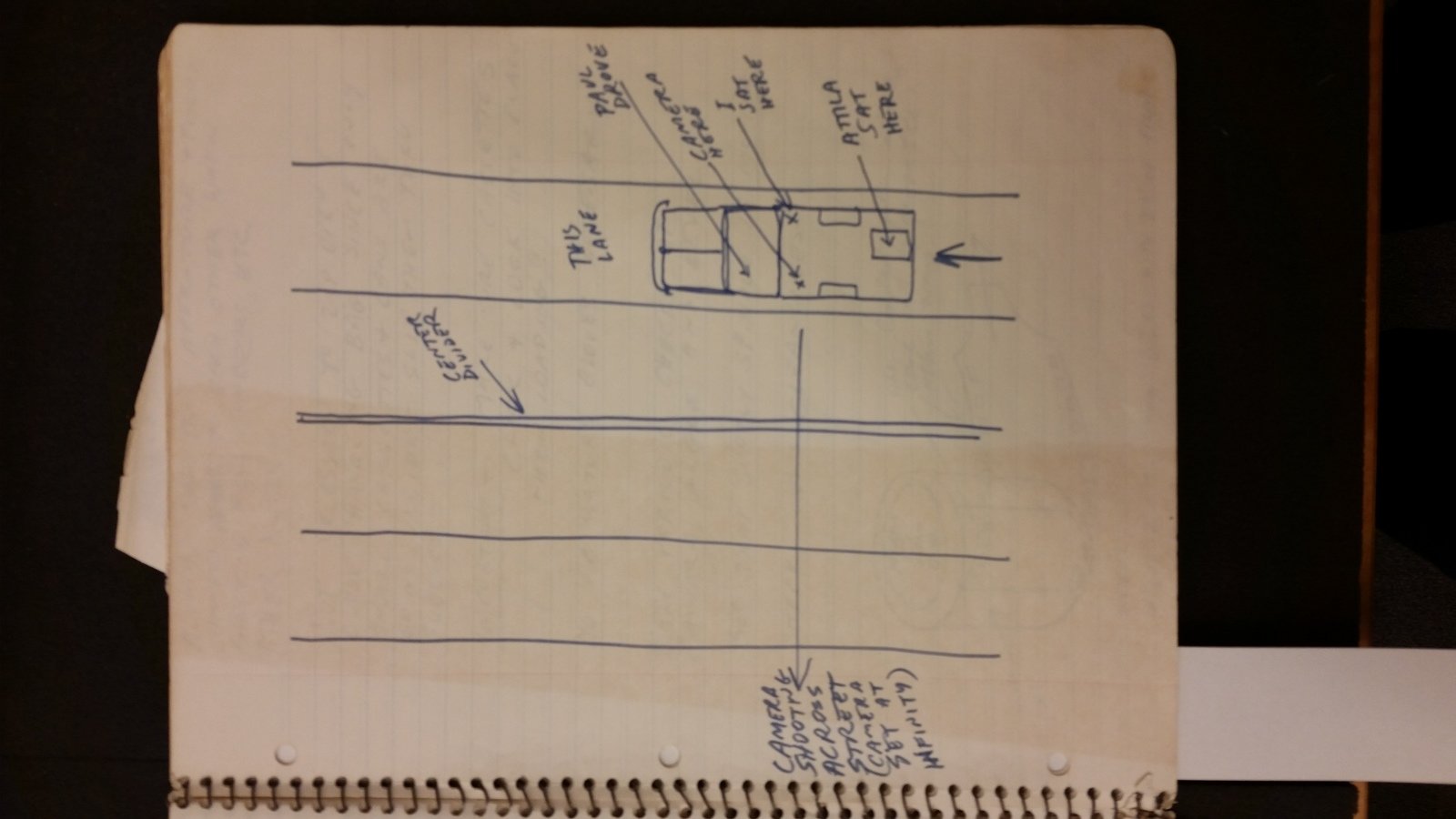
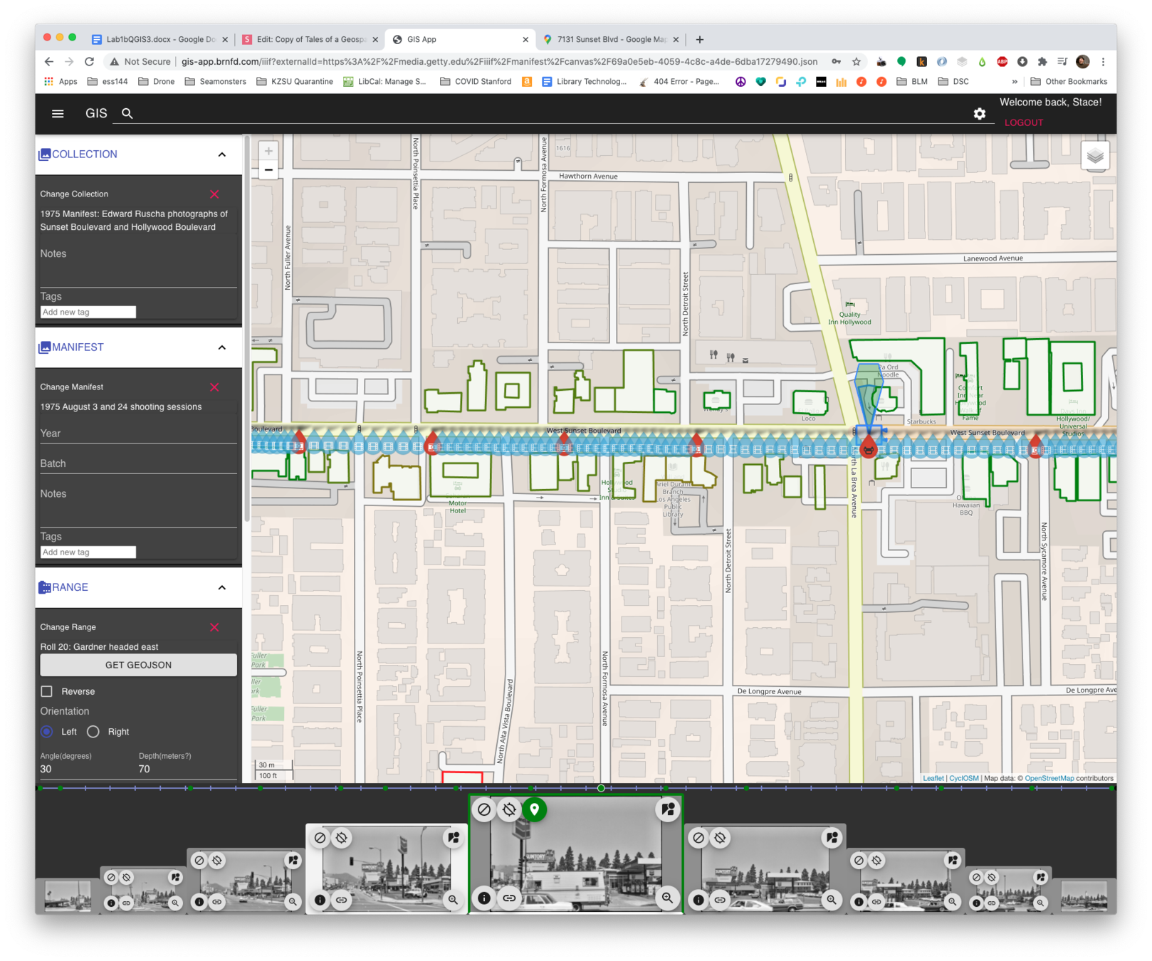
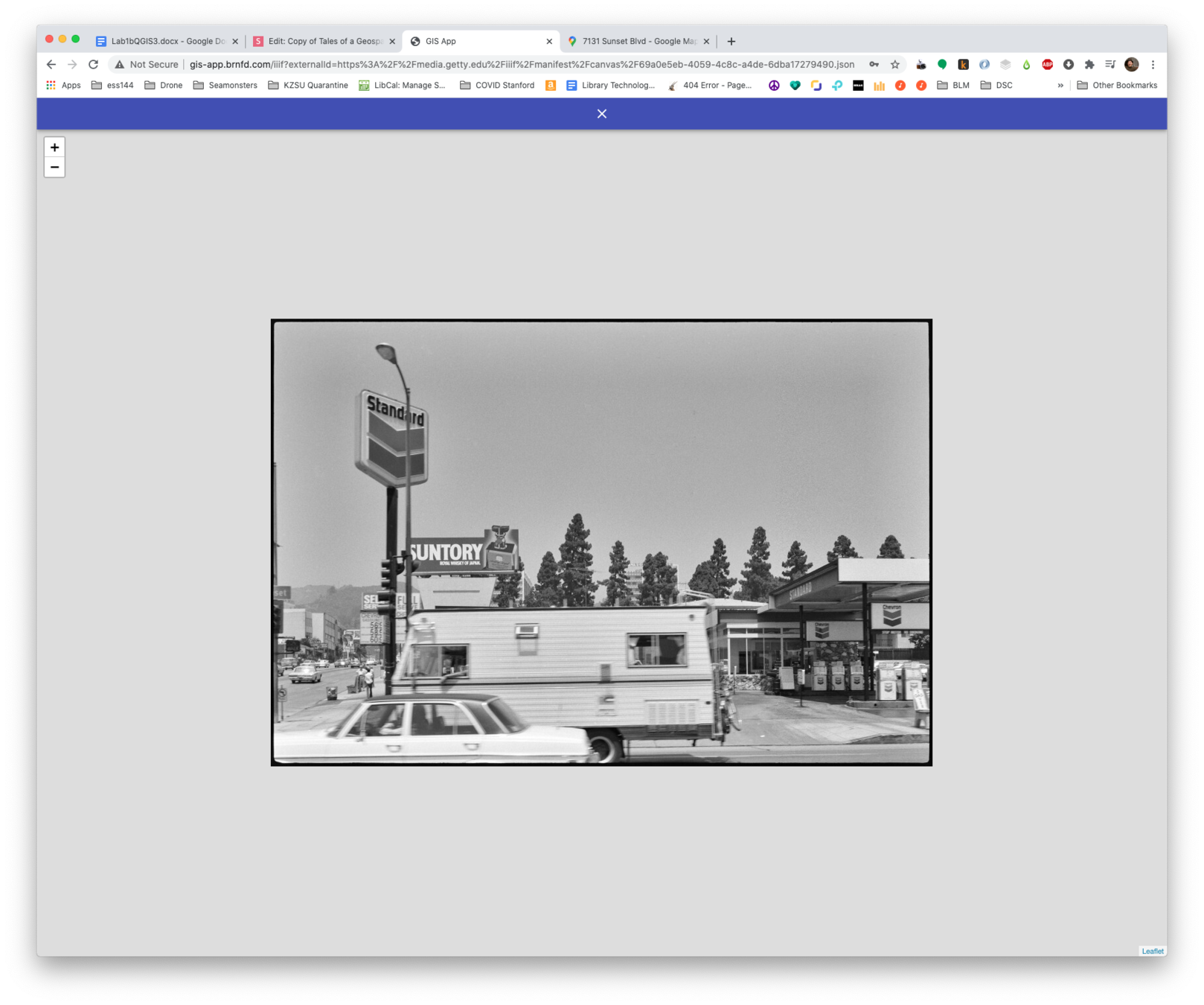
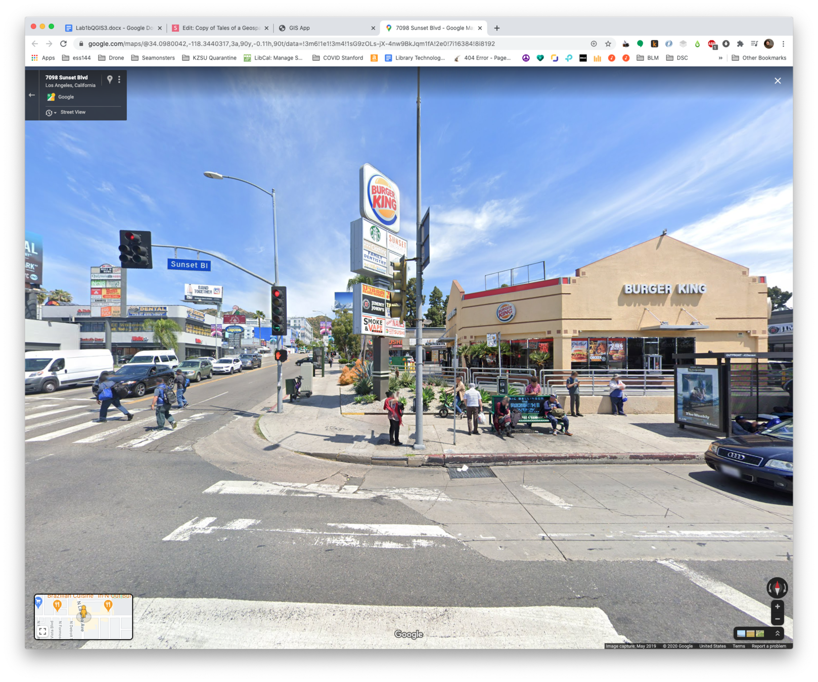
Ruscha


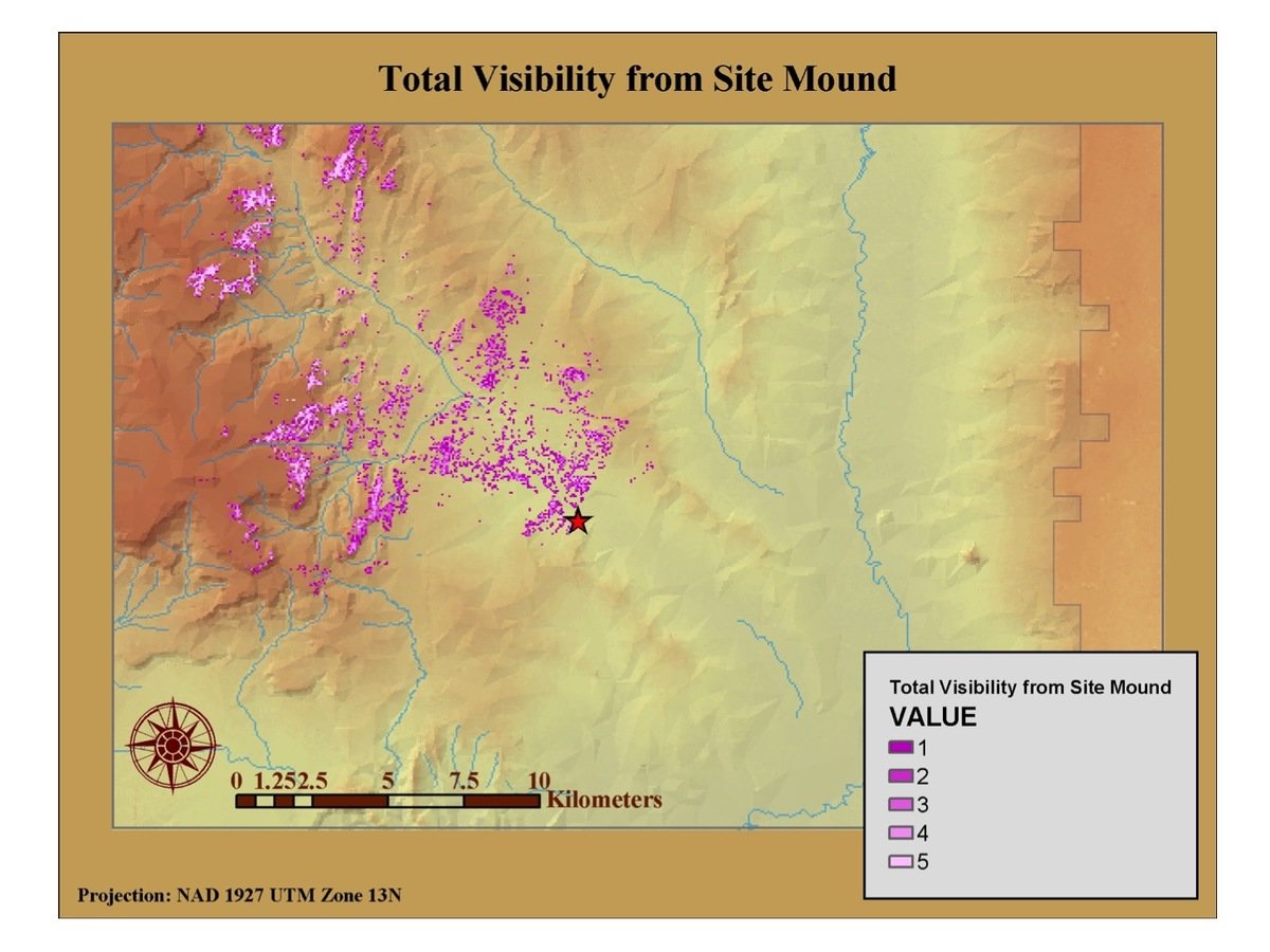
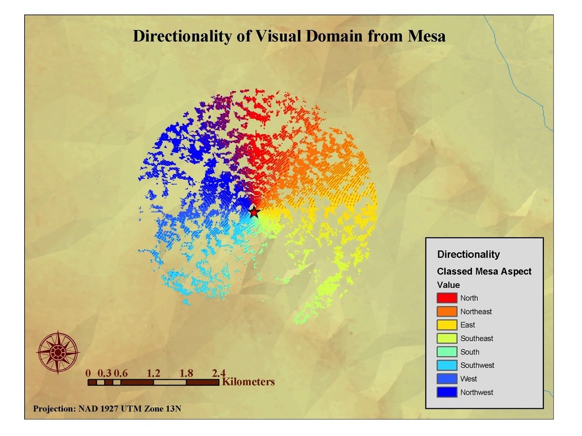
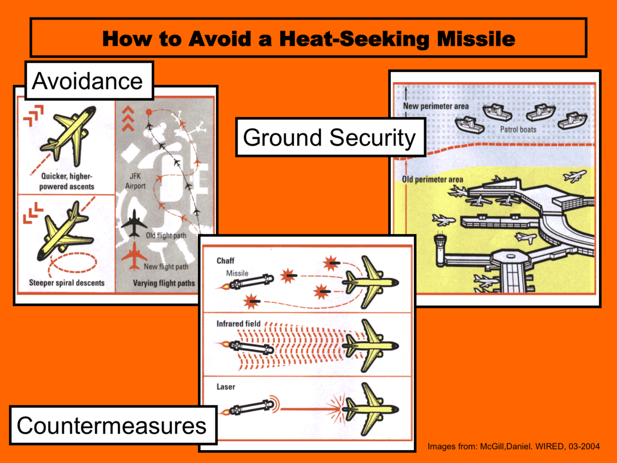
Tales of a Geospatial Swiss Army Knife
By Stace Maples
Tales of a Geospatial Swiss Army Knife
Some of my life with GIS


