Remote Sensing
Concepts and Applications
Ben Hickson
Geospatial Specialist
University of Arizona Libraries
Remote Sensing
"...the science and technology by which characteristics of object of interest can be identified without direct contact."
Sensors
- Optical
- Visible
- Near Infrared (NIR)
- Infrared (IR)
- Microwave
- Passive (scatterometer)
- Active (SAR, altimeter)
- Laser
- Active

http://www.seos-project.eu/modules/classification/images/spectral_signatures_landsat.jpg
Process
Energy Source or Illumination

Radiation and
the Atmosphere
Interaction with the Target

Reflected Energy Recorded by the Sensor

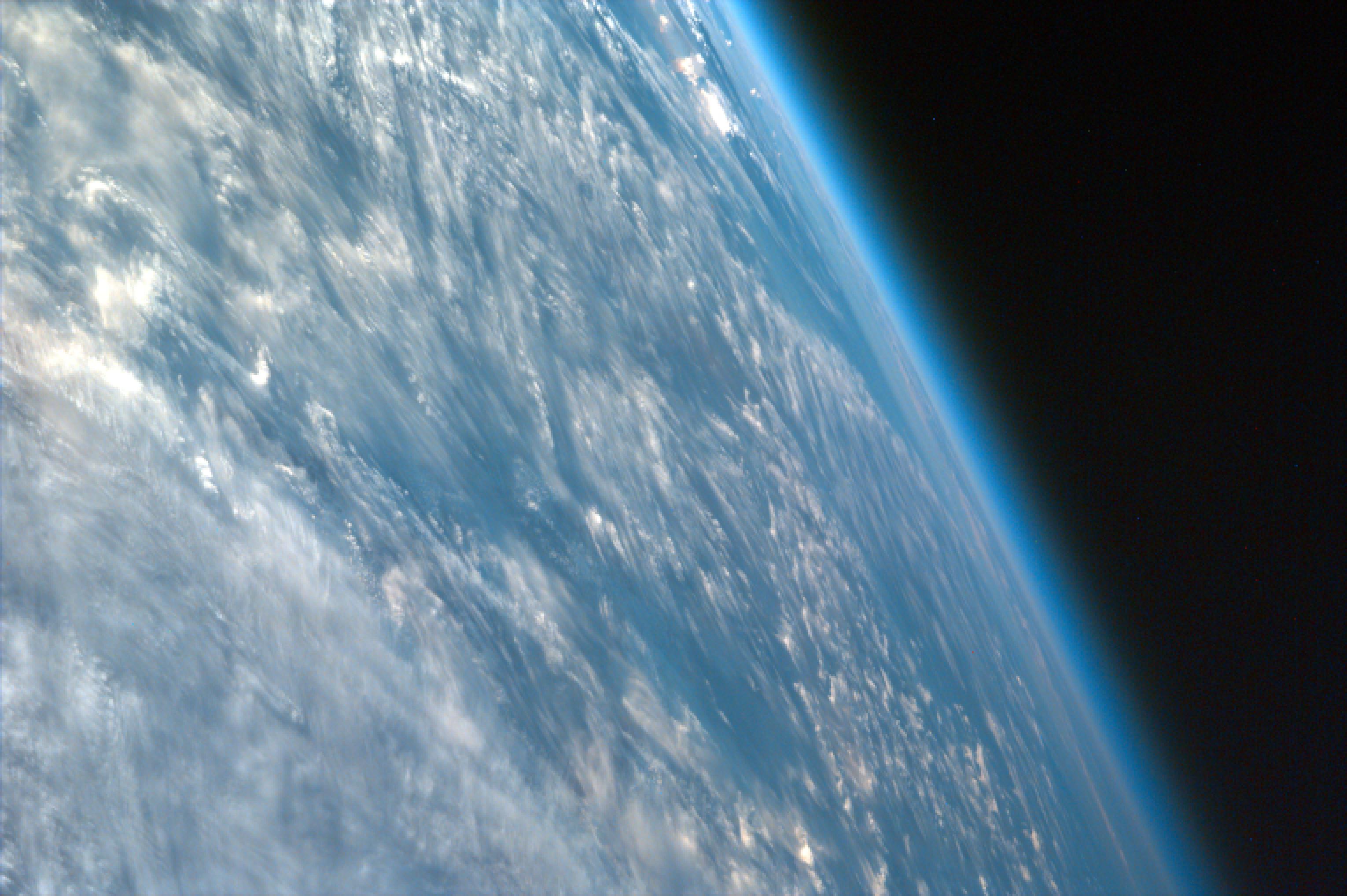
Landsat 8 Depiction
Transmission, Reception, and Processing

Space Network WSGT - Las Cruces, NM
Interpretation and Analysis

Hydrology - Patagonia, Argentina
Application

Scope Creek Watershed - Atlas Land Cover Classification
Capturing Energy
- Visible light is radiation is energy
- So are radio waves, heat (infrared), ultra-violet, and x-rays

Visible Light
Violet: 0.400-0.446 µm
Blue: 0.446-0.500 µm
Green: 0.500-0.578 µm
Yellow: 0.578-0.592 µm
Orange: 0.592-0.620 µm
Red: 0.620 - 0.700 µm
Infrared (IR)
0.700 - 100 µm
- Reflected IR
- Emitted IR (thermal)
Microwave
100 µm - 1m (1000000 µm)
Longest wavelength used in remote sensing
Reflectance
- How a material absorbs, reflects, and transmits energy can betray it's composition
Graph of material reflectance

Passive Remote Sensing
Measures energy that is already available (i.e. Sun)
Optical, like your camera. Or Eyeballs
Active Remote Sensing
Emitted energy directed toward a subject
Reflected energy is measured
Advantage:
Control and Precision
Disadvantage:
Inefficient
Spatial Resolution
The area a pixel in an image represents at full resolution
Landsat 8 OLI: 30m x 30m
NAIP: 1m
Digital Globe Worldview-3: 0.30m
More info:
https://platform.digitalglobe.com/earth-imaging-basics-spatial-resolution/
Tradeoffs
Data Storage
30m x 30m is 900x the number of pixels of 1m x 1m
Frequency
MODIS: 250m+, every 1-2 days
Landsat: ~30m, every 16 days
Spectral Resolution
Differing materials require differing spectral resolutions
Water and Vegetation can be determined across broad wavelengths
Differing between different rock types requires finer separation of wavelengths
Spectral Resolution
MODIS (Moderate-resolution imaging spectroradiometer)
Multi vs Hyper
Multi: Several wavelengths at a single or several resolutions
Hyper: tens or hundreds of very narrow spectral bands
Radiometric Resolution
The sensor sensitivity to slight differences in energy
Data is represented in positive digital numbers from 0 to 1 less than a selected power of 2
4 bit = 2 = four possible values from 0 to 3
8 bit = 2 = 256 possible values from 0 to 255
2
8
Satellite, Aerial, & LiDAR
Common Satellite Sensors
LiDAR
Light Detection and Ranging
- Active Remote Sensing
- Often used for high accuracy and terrestrial mapping
- Typically have a system mounted on a plane or truck
- Creates "clouds" of XYZ points
LiDAR Process
- Pulses of light emitted (active) and time recorded (typically NIR)
- Reflection of the pulse is detected and time recorded
- Use delay in return and speed of light to calculate distance ("slant range")
- Use of position and orientation of sensor to calculate XYZ of reflected point
LiDAR Components
- Laser scanner
- Clock (very precise)
- Global Positioning System (GPS)
- Inertial Measurement Unit (IMU)
- Data Storage and management station
- GPS ground station


http://www.yellowscan.fr/wp-content/uploads/archeology-3d-terrain-mapping.jpg
https://www.wired.com/wp-content/uploads/2015/11/Screen-Shot-2015-11-13-at-4.02.07-PM.jpg
Applications
Get a lot of detail of large areas
- Remote
- Often revisited (orbits)
Vegetation
- Composition and Health
-
Vegetation Indicies
Vegetation Indicies
- Built around the "red edge"
- Cholorophyll absorbs most of the red wavelengths while vegetation cell structure reflect the infrared
- Unique relationship allows us to easily differentiate vegetation structures from other materials (soil, plastics, roof tops, etc)
Red Shift

Vegetation Indicies
NDVI
SAVI
MSAVI
EVI
GARI
WDRVI
NDVI = (NIR - Red) / (NIR + Red)
Land Cover
Ecosystems and Ecological Units
Land cover types
Terrain
Change Detection
Resources
Credits
http://www.isprs.org/caravan/documents/Lao_Basic_RS.pdf
https://www.thoughtco.com/an-overview-of-remote-sensing-1434624
http://web.pdx.edu/~jduh/courses/geog493f12/Week04.pdf
THANKS
Introduction to Remote Sensing
By Benjamin Hickson


