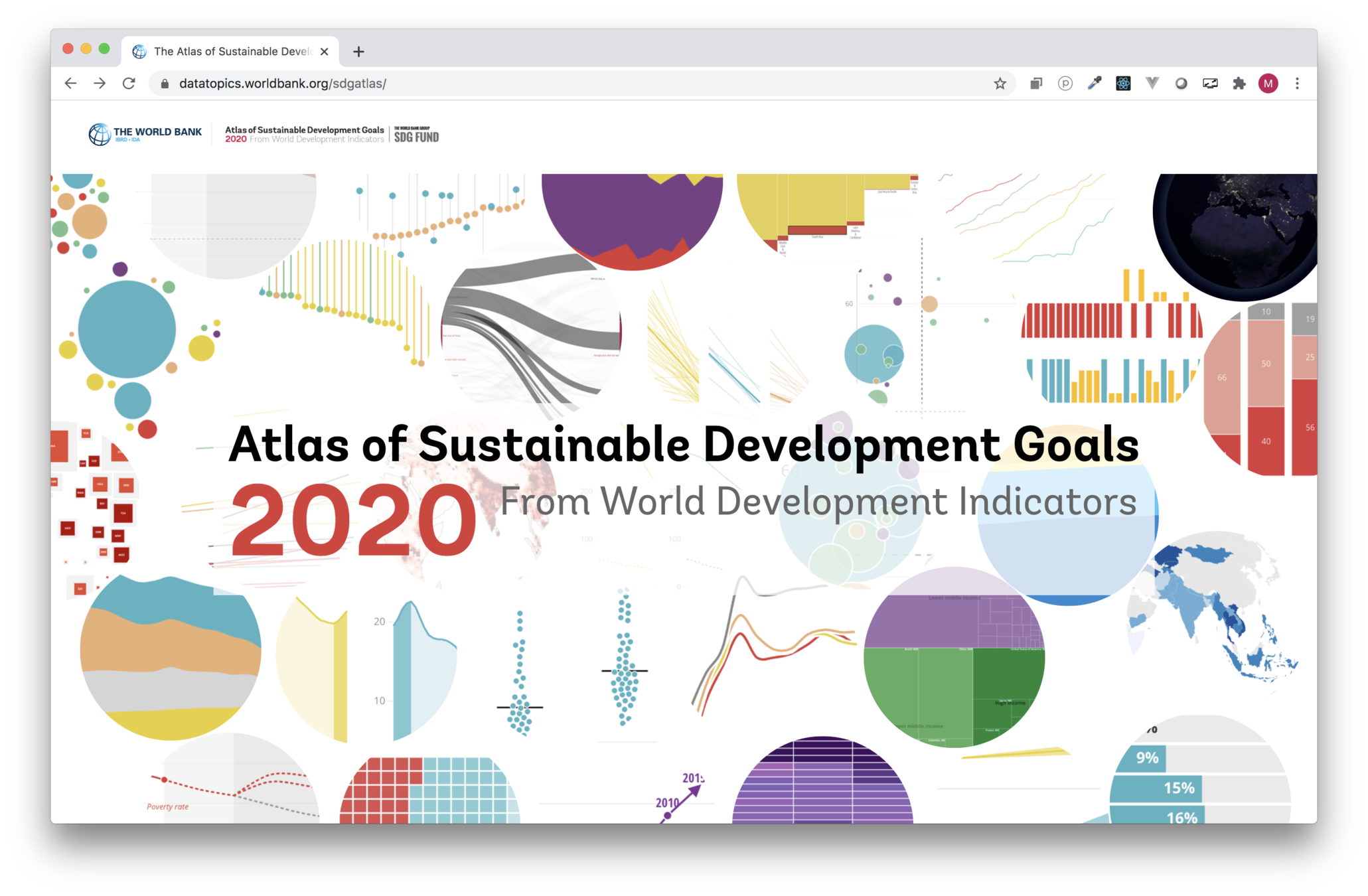
Behind the scenes of the
SDG Atlas 2020
Maarten Lambrechts
From raw data to 17 interactive data stories
World Bank Data Lab
2021-02-25
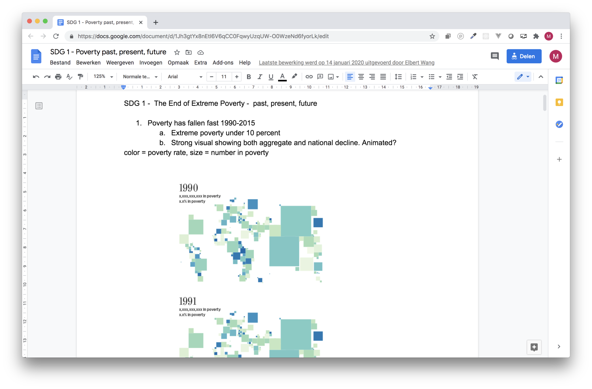
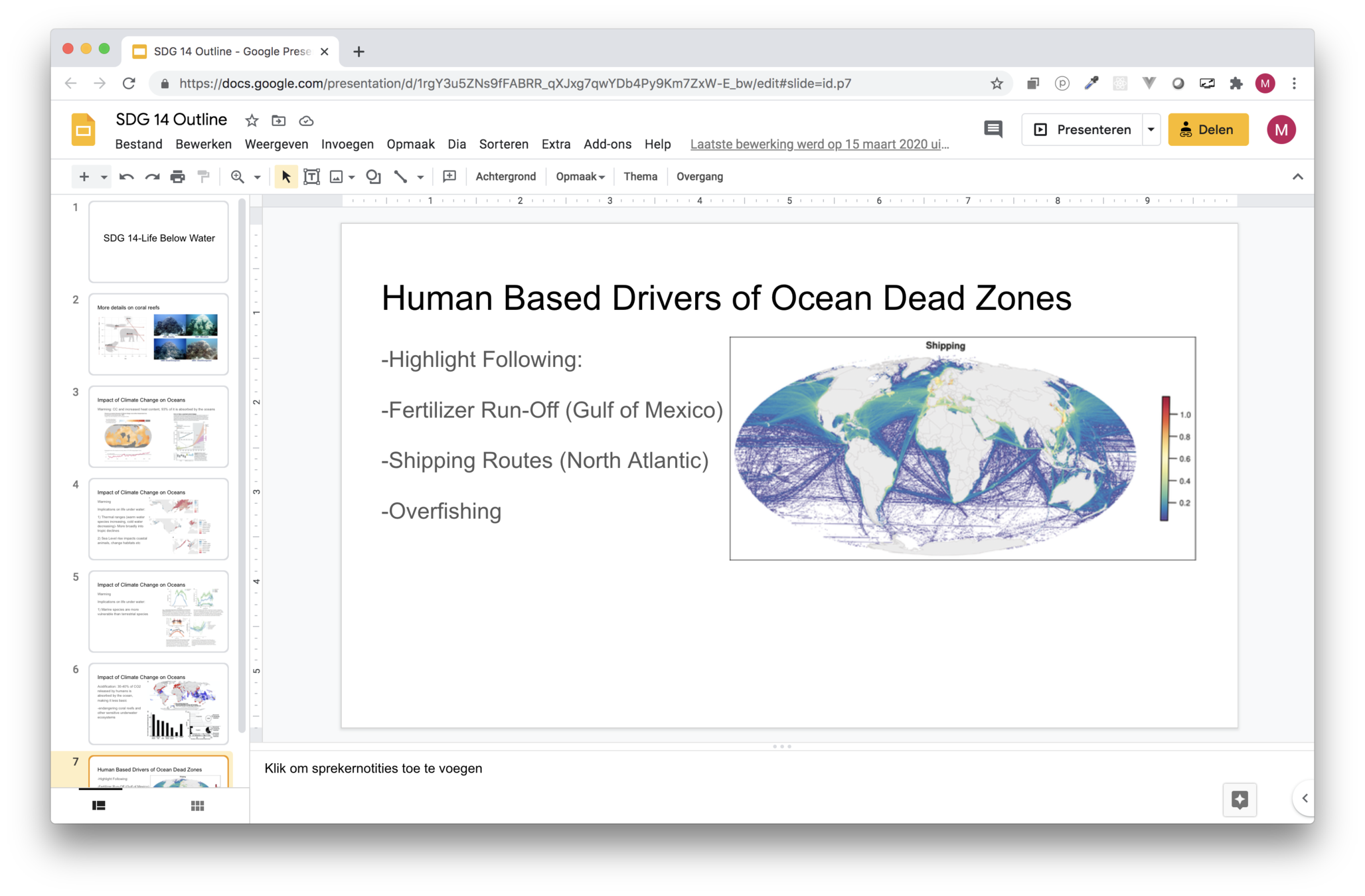
Sketching storylines & visualizations
Defining the angle
Selecting the data
Finding best visual representations
Developing a narrative
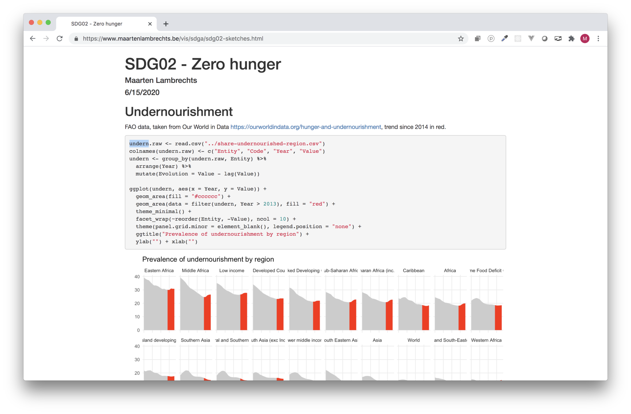
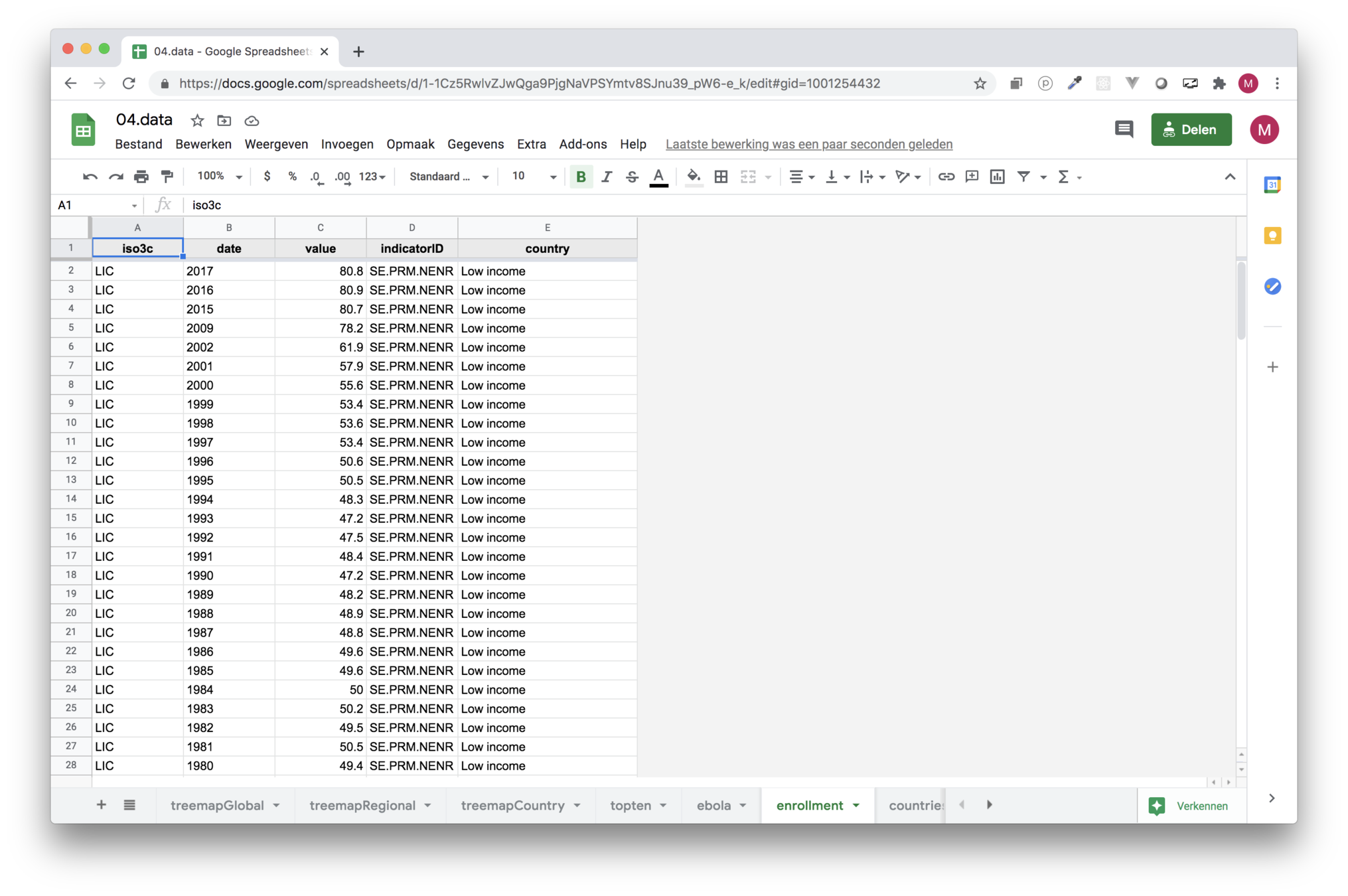
Data
Sources
World Development Indicators
Other Worldbank data
Other public data
Open research data
Researchers
Google Earth Engine
...
Data
API's
Csv, Excel
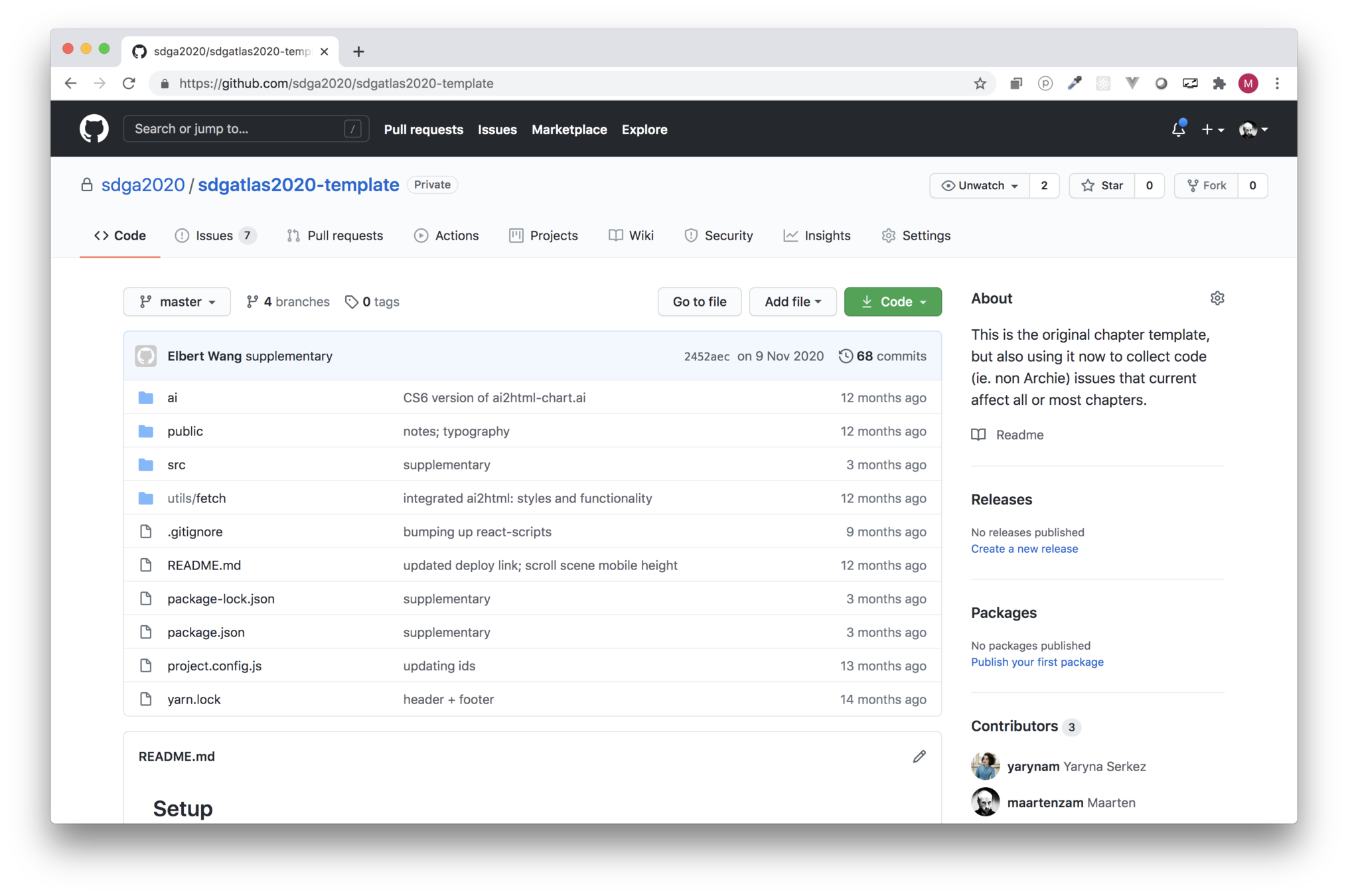
Github repositories
R-scripts
Stata files
Shapefiles, raster data
...
Data: process
Ingest in R (wbstats, readxl, ...)
Transform (filter, aggregate, calculate, ...) and reshape with dplyr and tidyr
Upload to Google sheets with googlesheets4
Story template
Create React App
React: components, state
Development server
Optimized builds
Template
Shared styling
Shared components, eg. scrollytelling
Fetching content
Content
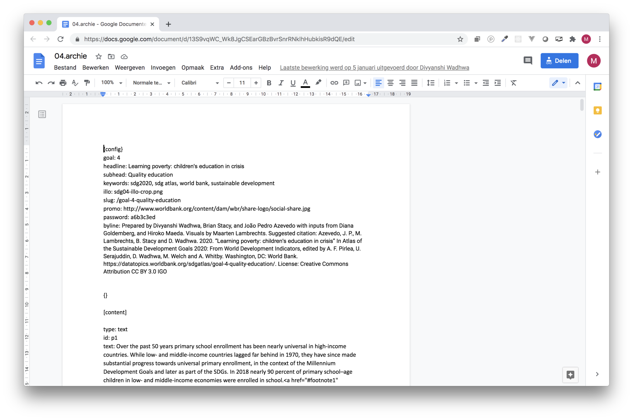
Title Text
npm run data:fetch

Visualizations
<svg width={width} height={height}>
    <g className="bubbles-g">
        {countries.map((d) => {
            return (
                <circle
                  key={"bubble-" + d.Country}
                  cx={xScale(d.coosshare)}
                  cy={yScale(d.bmpshare)}
                  r={sizeScale(d.total)}
                  fill={colorScale(d.Region)}
                  stroke={
                    activeCountry === ""
                      ? highlightcountries.length === 0
                        ? "white"
                        : highlightcountries.includes(d.Country)
                        ? "black"
                        : "white"
                      : d.Country === activeCountry
                      ? "black"
                      : "white"
                  }
                  strokeWidth={...}
                  style={{ cursor: "pointer" }}
                  opacity={...}
                  onMouseOver={() => {//Show tooltip}}
                  onMouseLeave={() => {//Hide tooltip}}
                ></circle>
    </g>
</svg>
React & svg
D3.js: utility components
React utilities
Responsive graphics from Adobe Illustrator
Other tools
Video in SDG5 and SDG15
React-globe-gl in SDG7
QGIS in SDG9
Mapbox GL JS in SDG11
WebGL/REGL in SDG13
Building
Before launch
Password protected versions through Github pages
Build and deploy
Automated builds from Github repositories and Google Drive
For staging and production environment
Thanks!
SDG Atlas 2020: making of
By maartenzam


