BIO144 - Remote Sensing for Conservation Applications
A hands-on demonstration
Stace Maples@stanford.edu
To support the use of geospatial technologies in research and teaching at Stanford
(whatever that means at any given time)
where is your data? gis.stanford.edu
https://slides.com/staceymaples/bio144
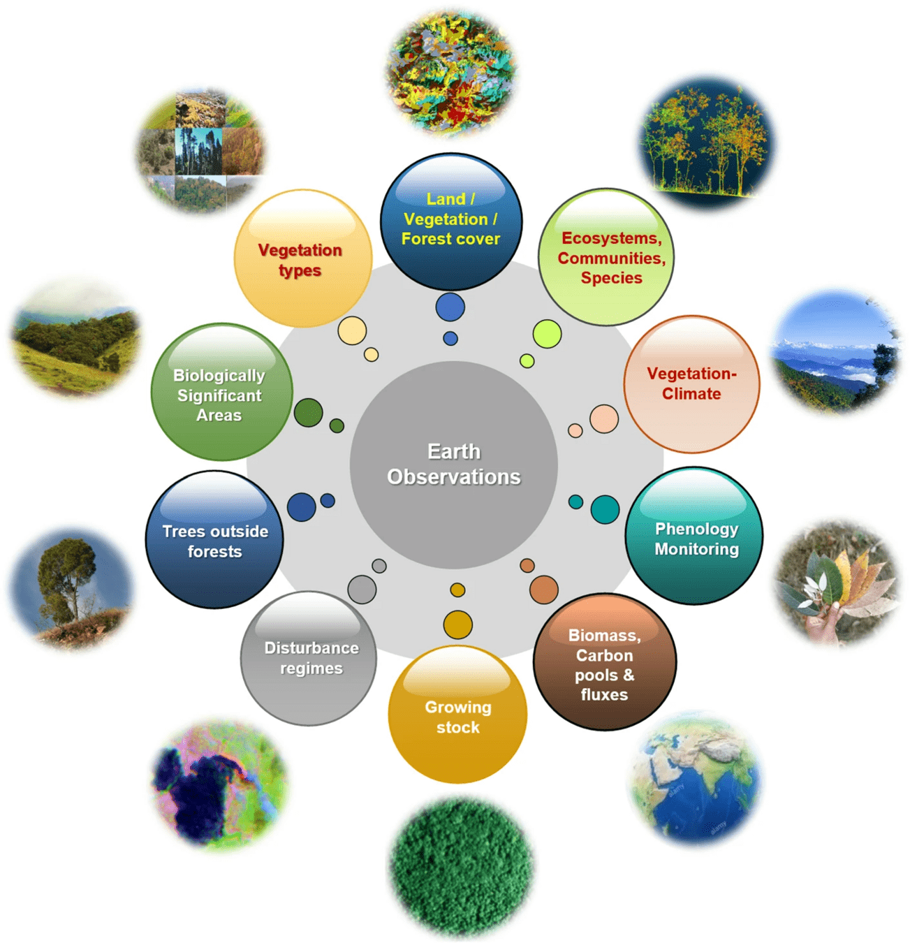
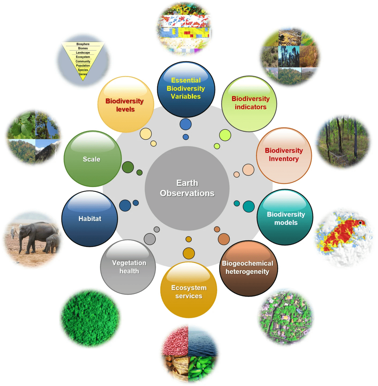
Remote sensing of biodiversity: what to measure and monitor from space to species?
https://link.springer.com/article/10.1007/s10531-021-02216-5
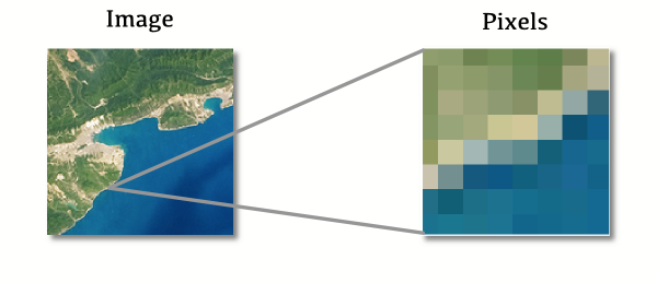
a (ridiculously) tiny introduction to
remote sensing
https://slides.com/staceymaples/bio144
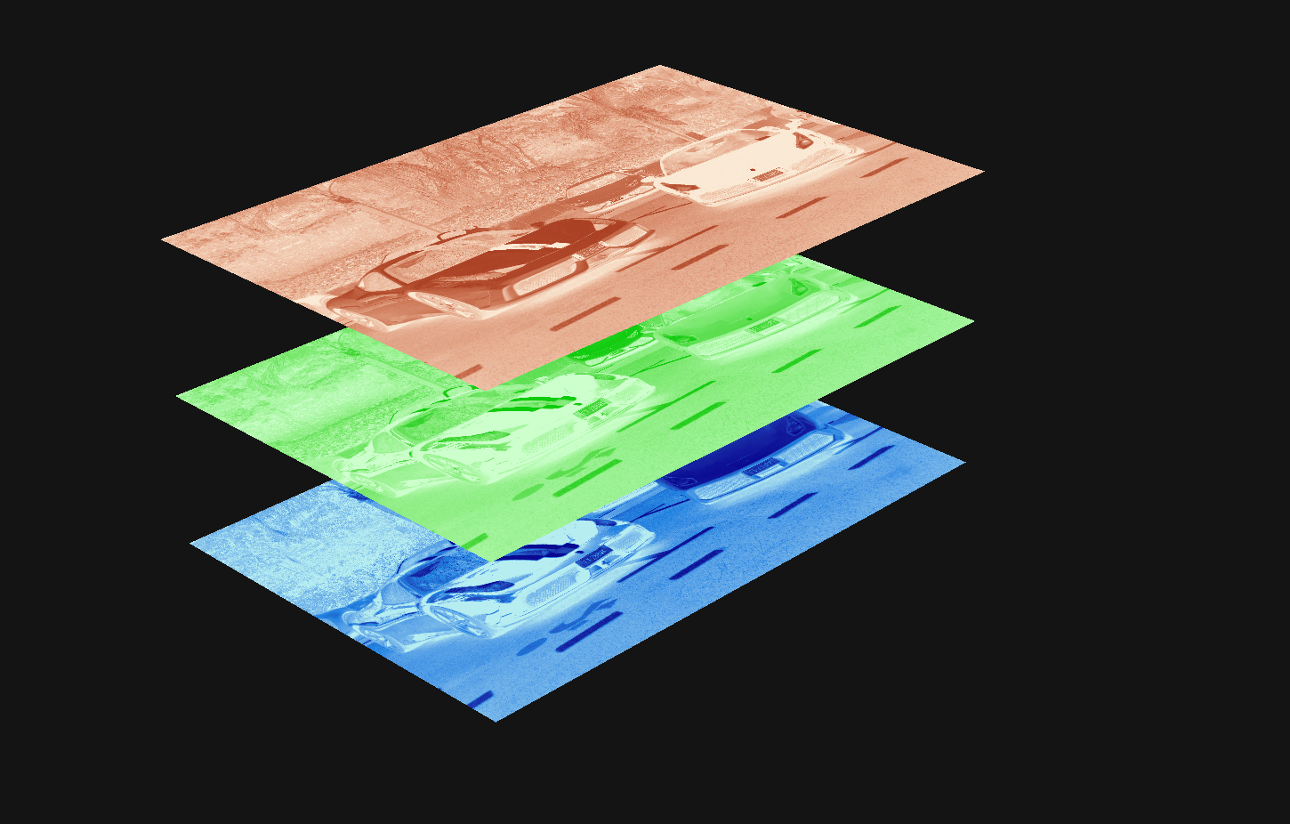
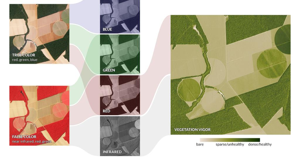
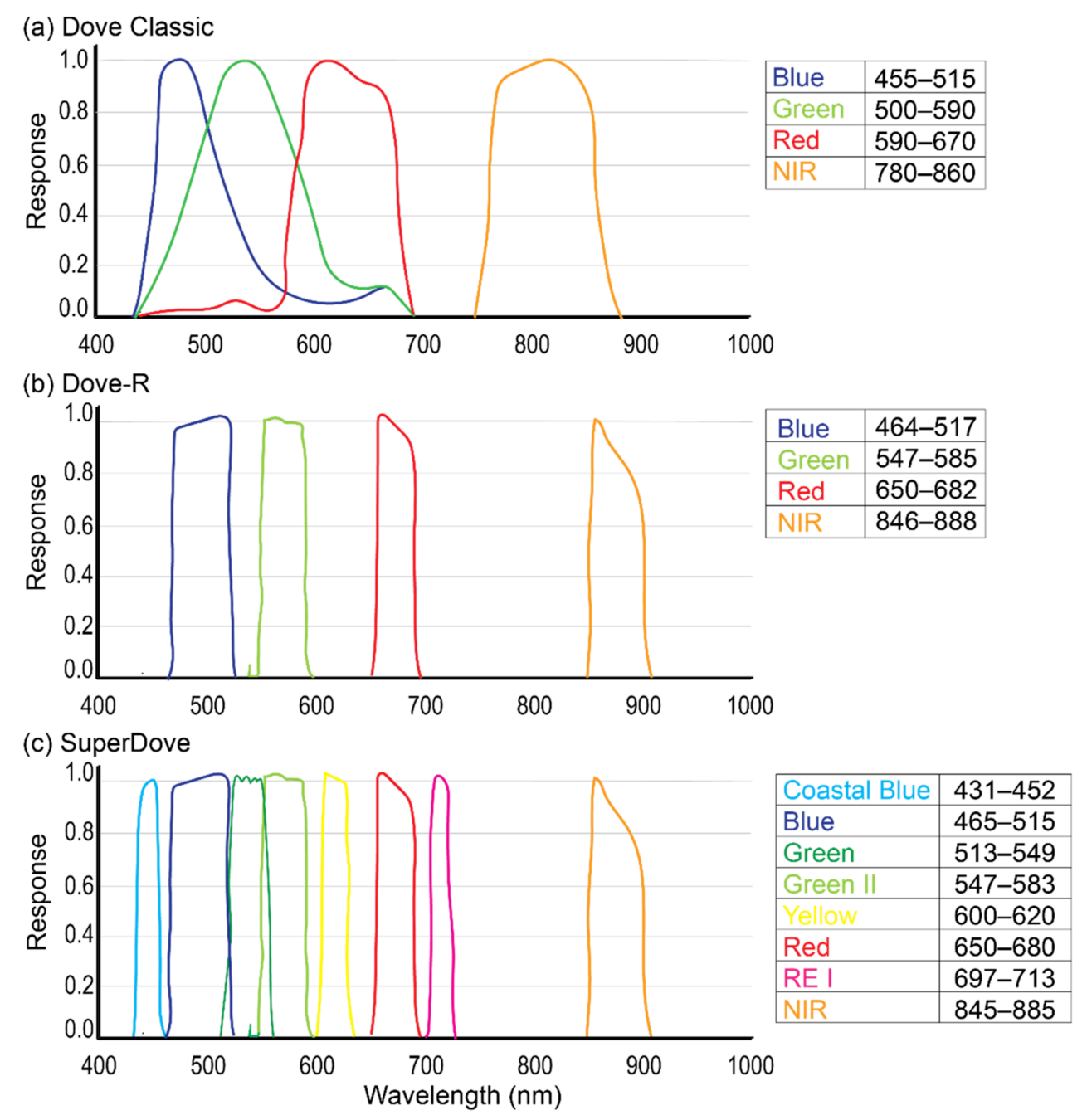
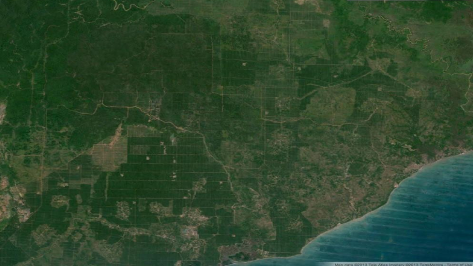
Digital images are made of pixels, and pixels are representations of numeric values
where is your data? gis.stanford.edu
https://slides.com/staceymaples/bio144
where is your data? gis.stanford.edu

https://slides.com/staceymaples/bio144

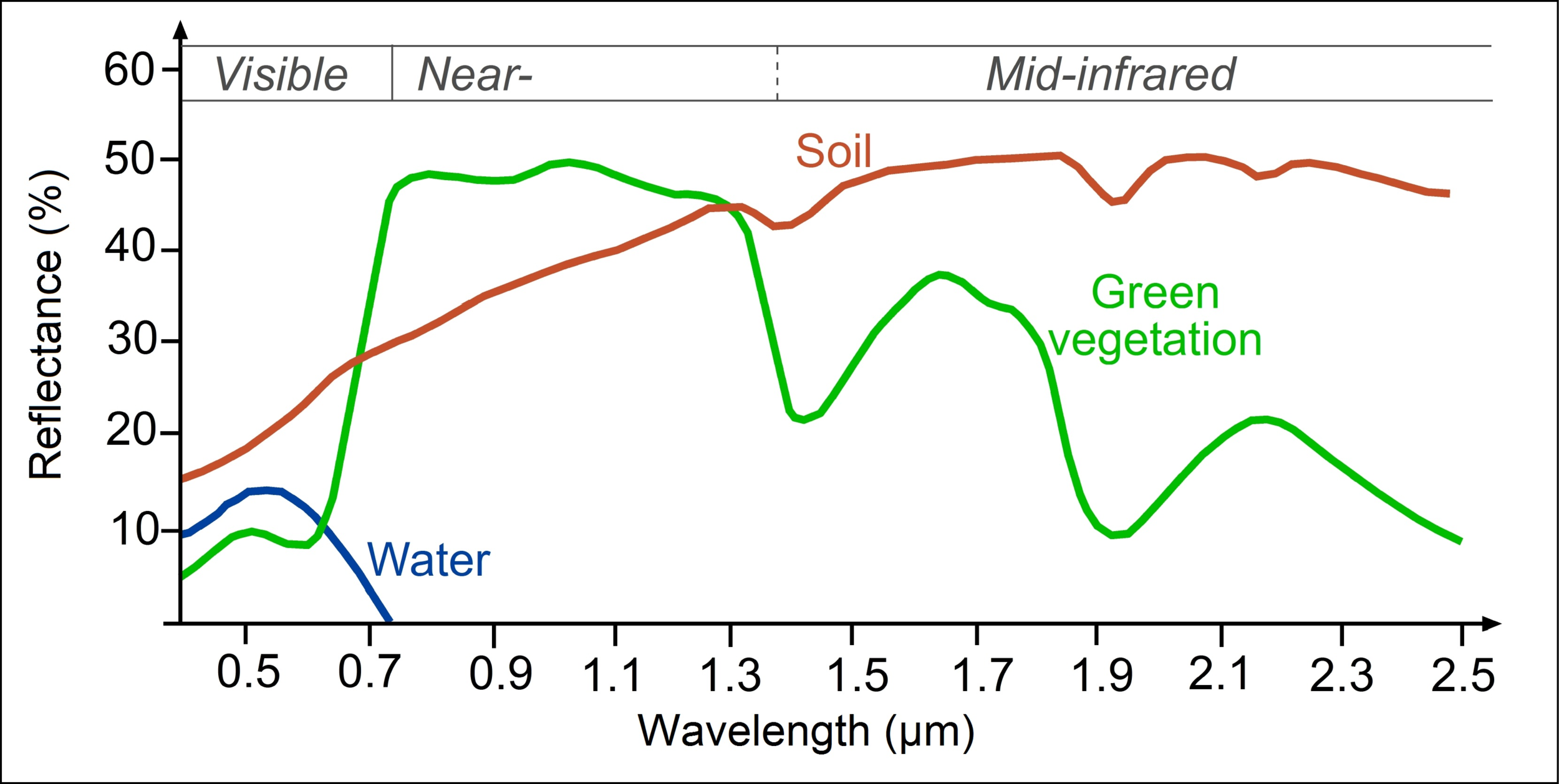
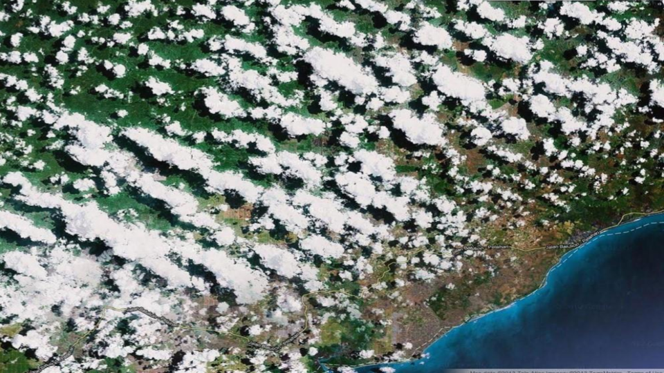
Those values represent the amount of reflected electromagnetic energy
(which is everywhere, and everything reflects or absorbs it differently, and measurably)


where is your data? gis.stanford.edu
where is your data? gis.stanford.edu
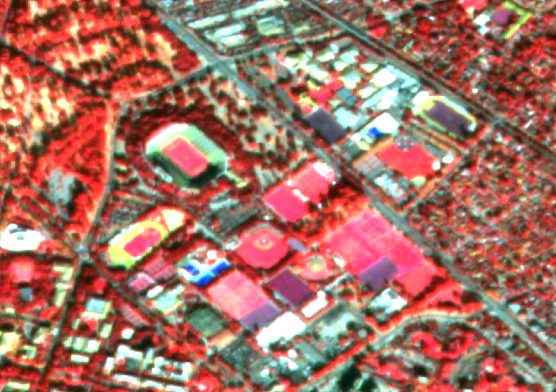
Red Band
Infrared Band
Green Band
where is your data? gis.stanford.edu


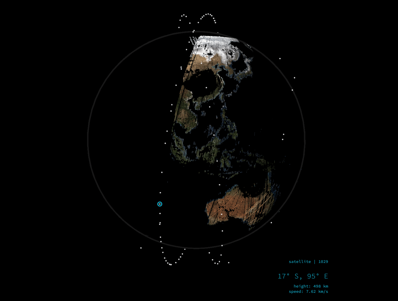
Finally, cadence...
How often does a satellite revisit locations?
- Landsat - 16 days
- Sentinel 2 - 10 days at the equator, 2-3 at mid-latitudes
- Planet.com - Daily
- Digital Globe - varies, tasked
Planet is a 3m image of the Earth, every day.
where is your data? gis.stanford.edu
where is your data? gis.stanford.edu
where is your data? gis.stanford.edu
What we have access to:
Instant Access
- Planetscope Daily Imagery
- Planetscope Composite Basemaps
Application Access
- SkySat Archive (6mo embargo)
- SkySat Tasking (4 x 25sqkm Images)
where is your data? gis.stanford.edu
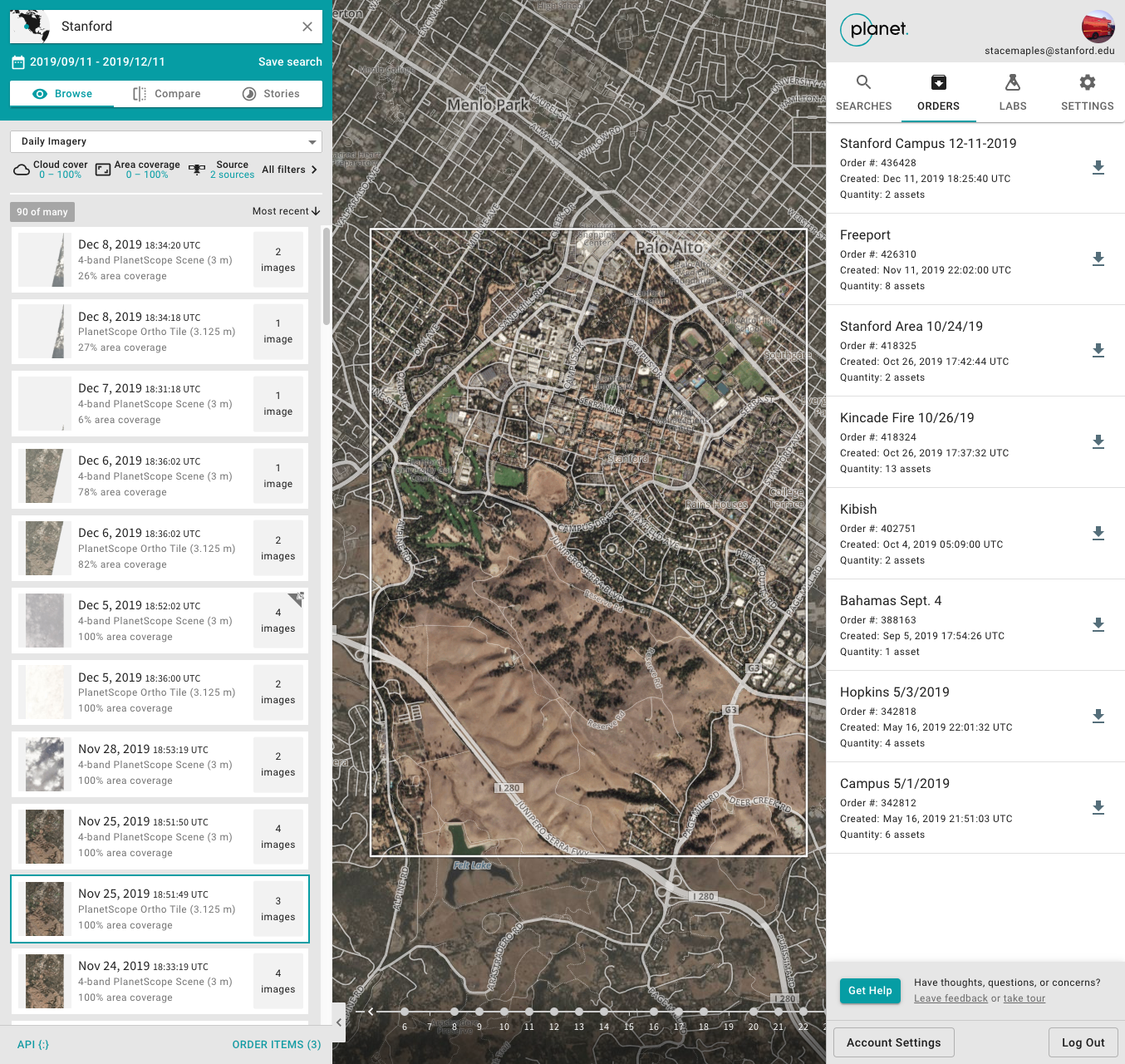
Using Planet.com data
bit.ly/planetstanford
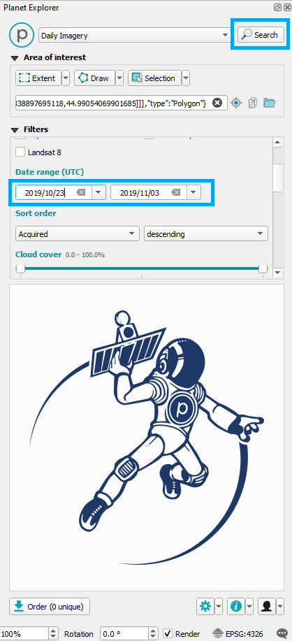
Planet Explorer
- GUI for searching by:
- Area of Interest
- Data Type (Scenes vs Basemaps)
- Metadata: Cloud Cover, % Coverage, Off-Nadir Angle, etc...
- Submit "Orders" for download
- "Orders" notified through email
bit.ly/planetstanford
Orders & Basemap APIs
bit.ly/planetstanford
- Search for imagery
- Location, Date, Cloud Cover, etc...
- Download imagery
- Single Image
- Parallelized bulk download
- API Tile Service
- Returns TIMS XYZ Tile Services
- XYZ TMS & WMTS (Monthly & Quarterly Composites
ArcGIS Pro & QGIS Plug-ins
bit.ly/planetstanford
- Search for imagery
- Location, Date, CloudCover, etc...
- Download imagery
- Preview Imagery
- Single Image
bit.ly/planetstanford
bit.ly/planetstanford

bit.ly/planetstanford
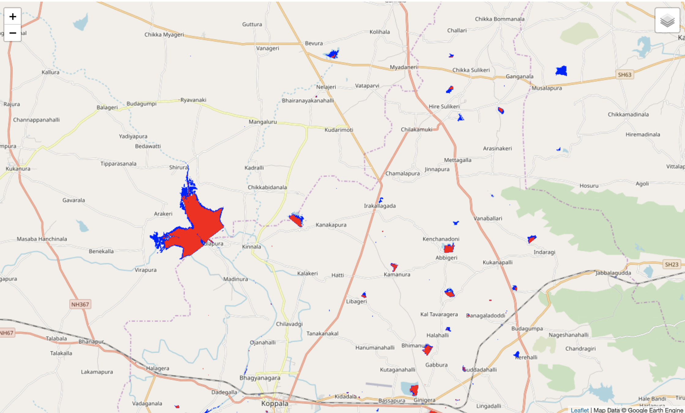
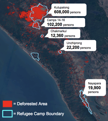
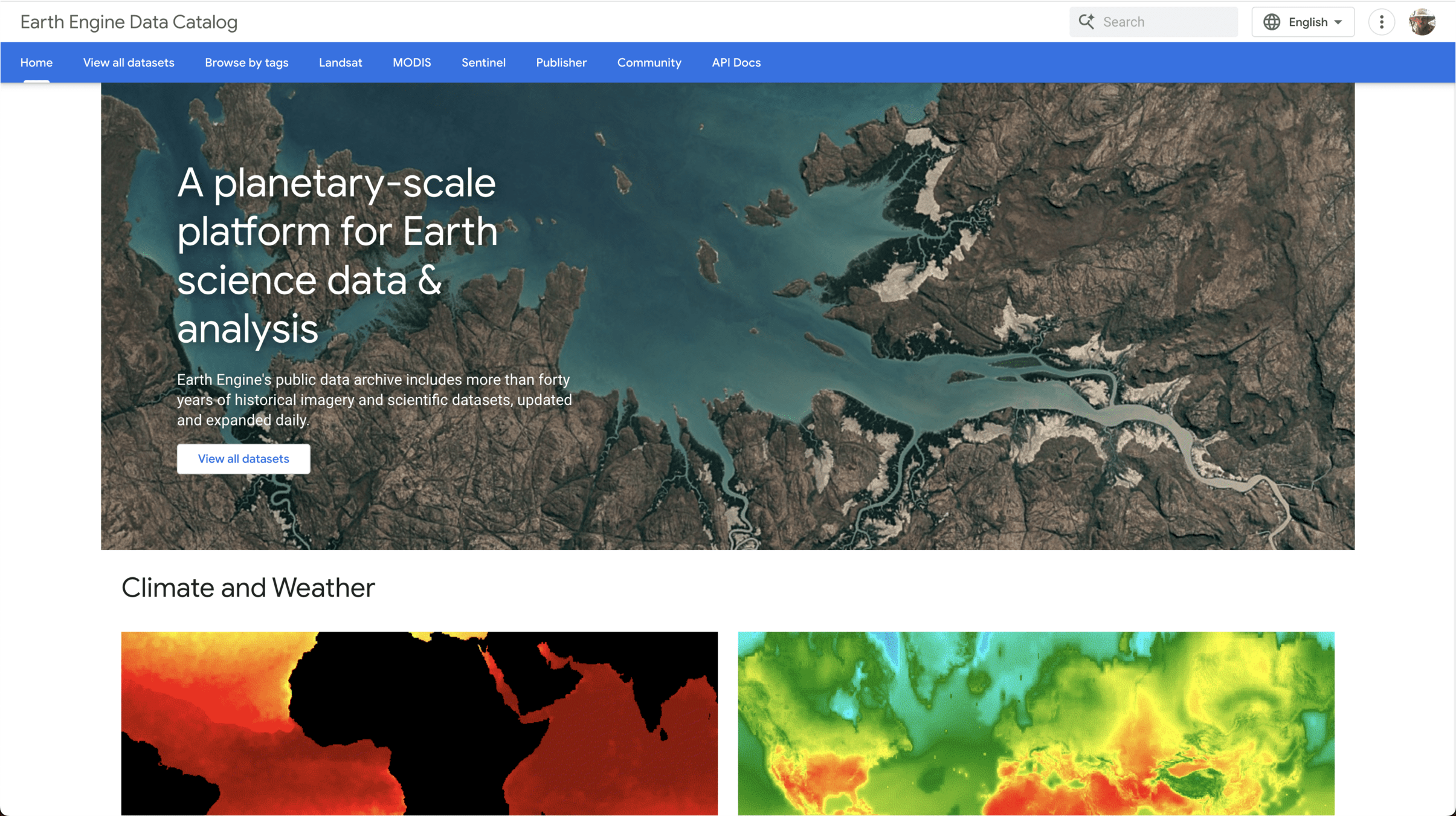
Until 2008, only 4% of the LANDSAT archive had been examined in any way, whatsoever
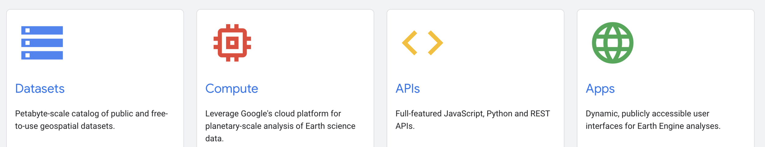
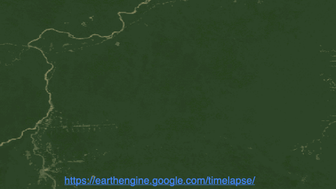
Google Earth Engine Catalog
> 70 petabytes of data
...and growing in near real-time
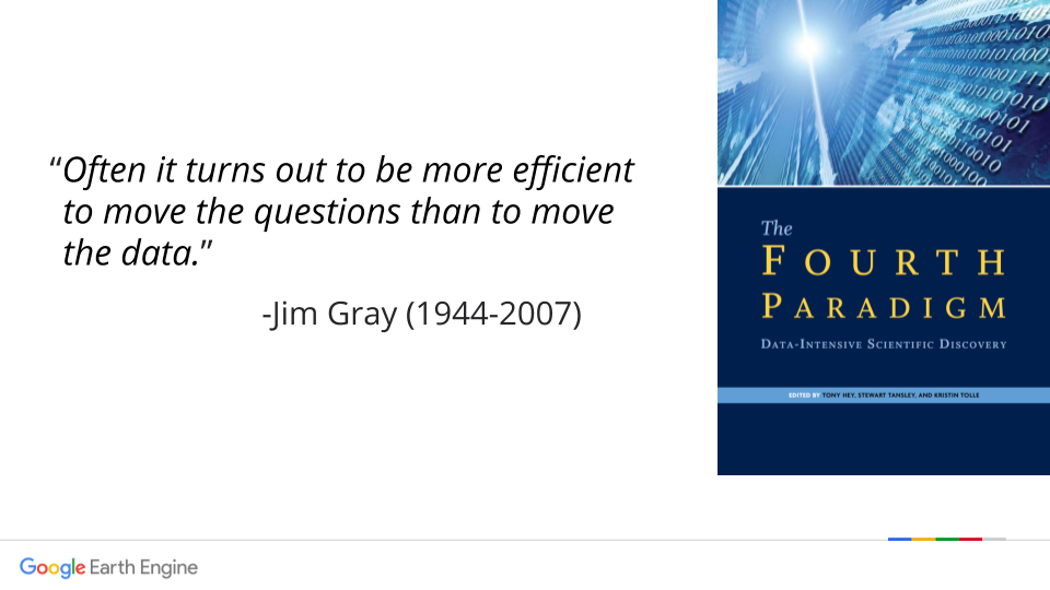
“Often it turns out to be more efficient to move the questions than to move the data.
- Jim Gray”


Demo Links
- Planet Explorer saved search - https://www.planet.com/explorer/?s=6WC_TeOQSK6-6cjGHDivUg
- Lake Lagunita Planet Notebook in Colab -
https://colab.research.google.com/github/StanfordGeospatialCenter/Planet_API_101/blob/main/planet_API_101_LakeLagunita.ipynb
- Dynamic World Data Catalog Page - https://developers.google.com/earth-engine/datasets/catalog/GOOGLE_DYNAMICWORLD_V1
- Earth Engine Samples Scripts (shortlist) - https://code.earthengine.google.com/?accept_repo=users/maplesstanford/bio144
- Earth Engine Samples Scripts (longlist) - https://code.earthengine.google.com/?accept_repo=users/stacemaples/SGC-EE101
https://slides.com/staceymaples/bio144
BIO-144 Remote Sensing Overview & Demo
By Stace Maples


