Digital Approaches to Using Historical Maps & Daily Satellite Images from Near Space
Stace Maples
Assistant Director of Geospatial Collections & Services, Stanford Libraries
Head of the Stanford Geospatial Center
Follow on your own device at:
goto.stanford.edu/cdl-maps
Support and encourage the use of geospatial data & technology in research and teaching at Stanford
(whatever that means at any given time)
Everything is somewhere and that somewhere matters.
-Stace's 1st Law of Geography
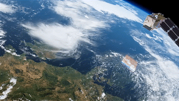
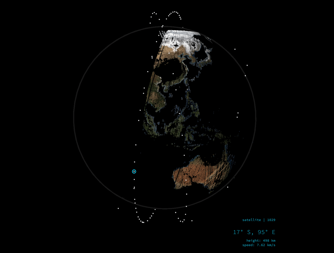
Earth Observation Today
From Observation
to
Continuous Monitoring

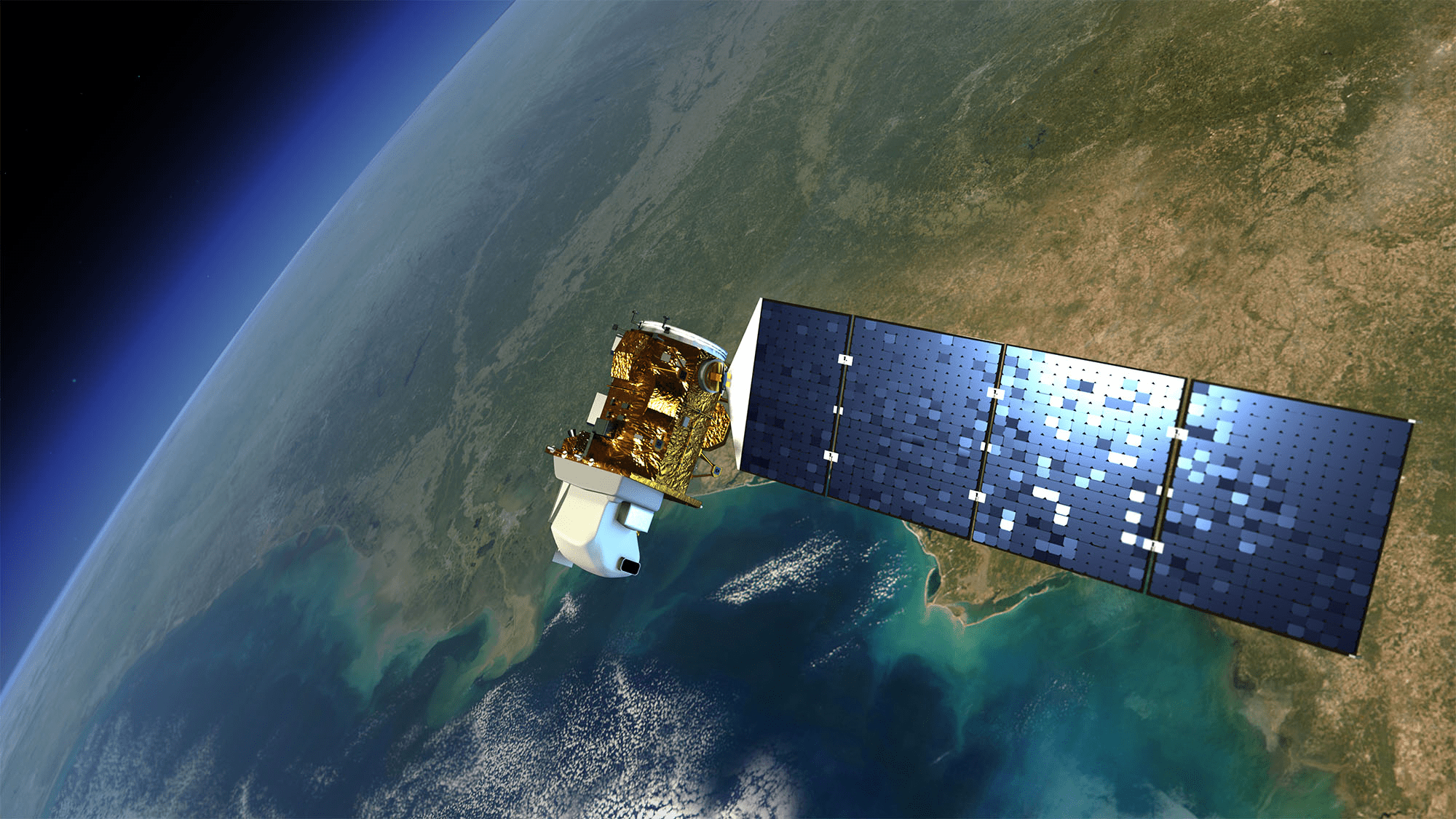
Planetscope
-
Daily global imaging
-
3–5 m spatial resolution
-
Massive longitudinal archive
-
Foundation for “living maps”
From Observation to Continuous Monitoring
Pelican Constellation (Planet)
-
30 cm resolution
-
Rapid tasking
-
Hourly revisit potential
-
Near-real-time change
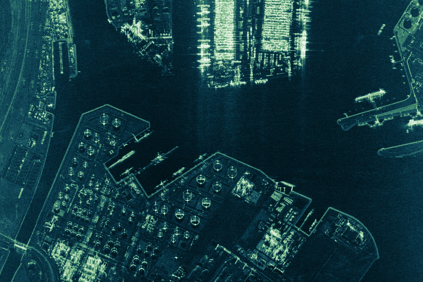
Tanager Hyperspectral
-
High spectral resolution and fidelity
-
Material-level identification


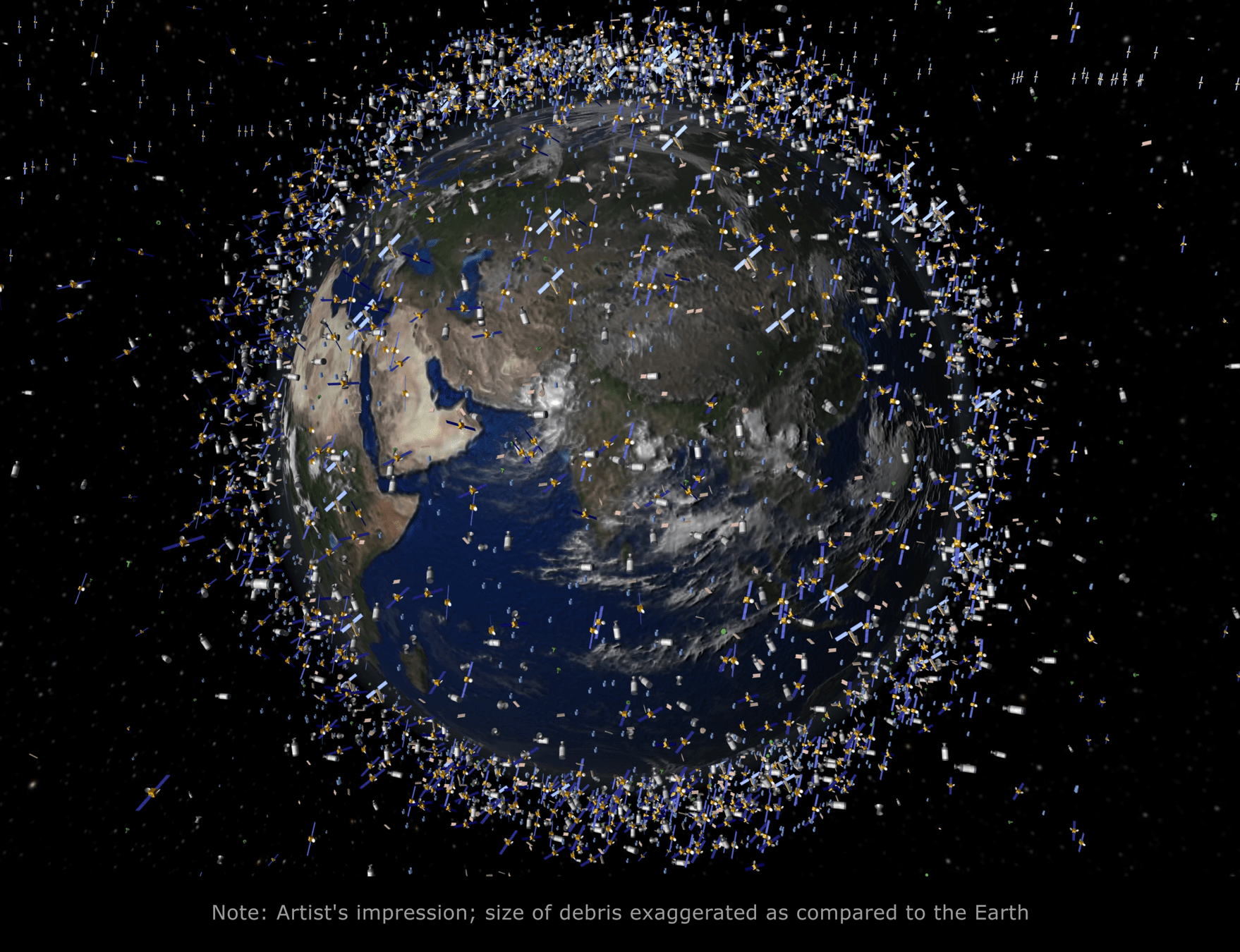
The number of EO satellites is expected to increase from over 900 today to more than 2,300 by 2032
Daily data collection could reach around 230 Petabytes (PB)
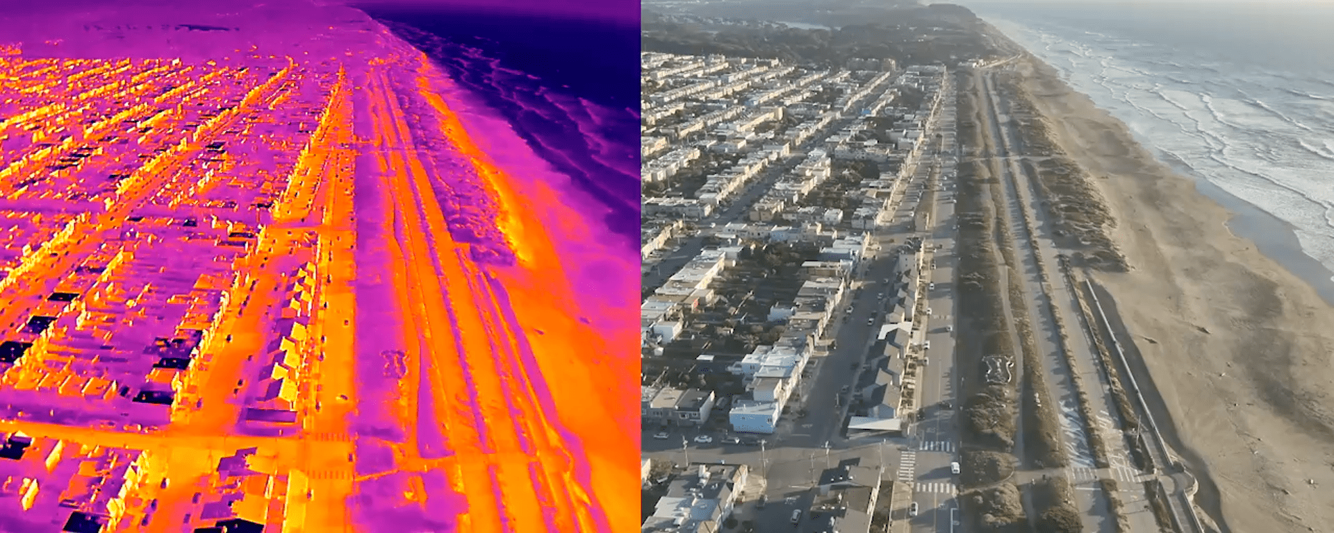
Drone Imaging
-
Sub-centimeter spatial resolution
-
Ultra-high cadence (on-demand, event-driven)
-
Ideal for:
-
Cultural heritage monitoring
-
Disaster damage assessment
-
Illegal logging & mining detection
-
Agricultural & ecological surveys
-
-
Produces massive volumes of imagery
-
Drives need for real-time automated analysis
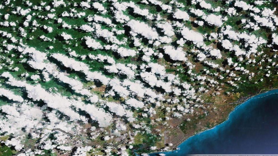
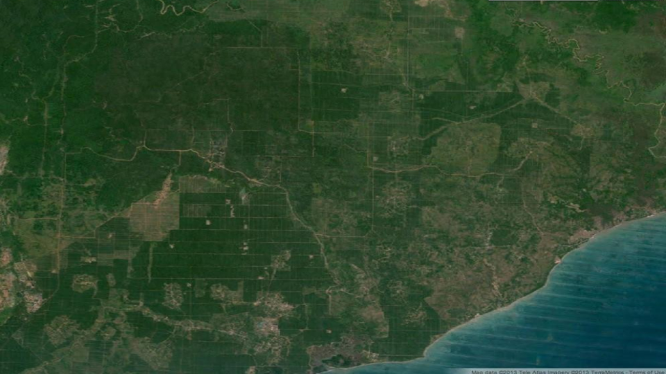
The Other Massive Data Stream
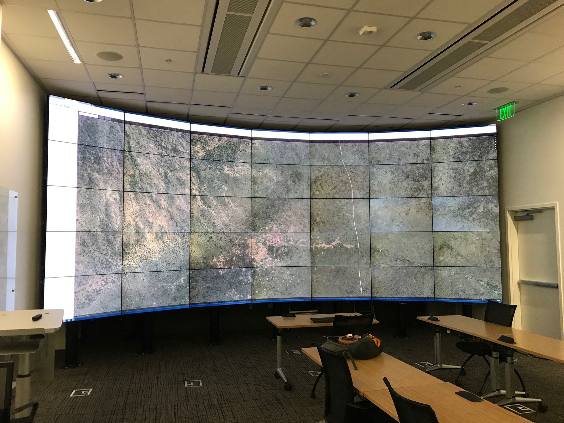
Earth Observation Data Infrastructures
"Stanford used more Planet imagery than NASA last year..."
Joe Mascaro - Director of E&R Planet.com
Drinking from the EO Firehose
HOW DO YOU MAKE SENSE OF THESE QUANTITIES OF SENSOR DATA?
The Data Deluge
-
Millions of satellite scenes daily
-
Billions of drone pixels per mission
-
Hyperspectral & multispectral streams expanding
-
Impossible for human-only analysis
-
Massive Parallelization required simply for processing
-
AI required to extract insight at operational scale
Until 2008, only 4% of the Landsat archive had even been examined

"Often it turns out to be more efficient to move the questions than to move the data."
-Jim Gray (1944-2007)


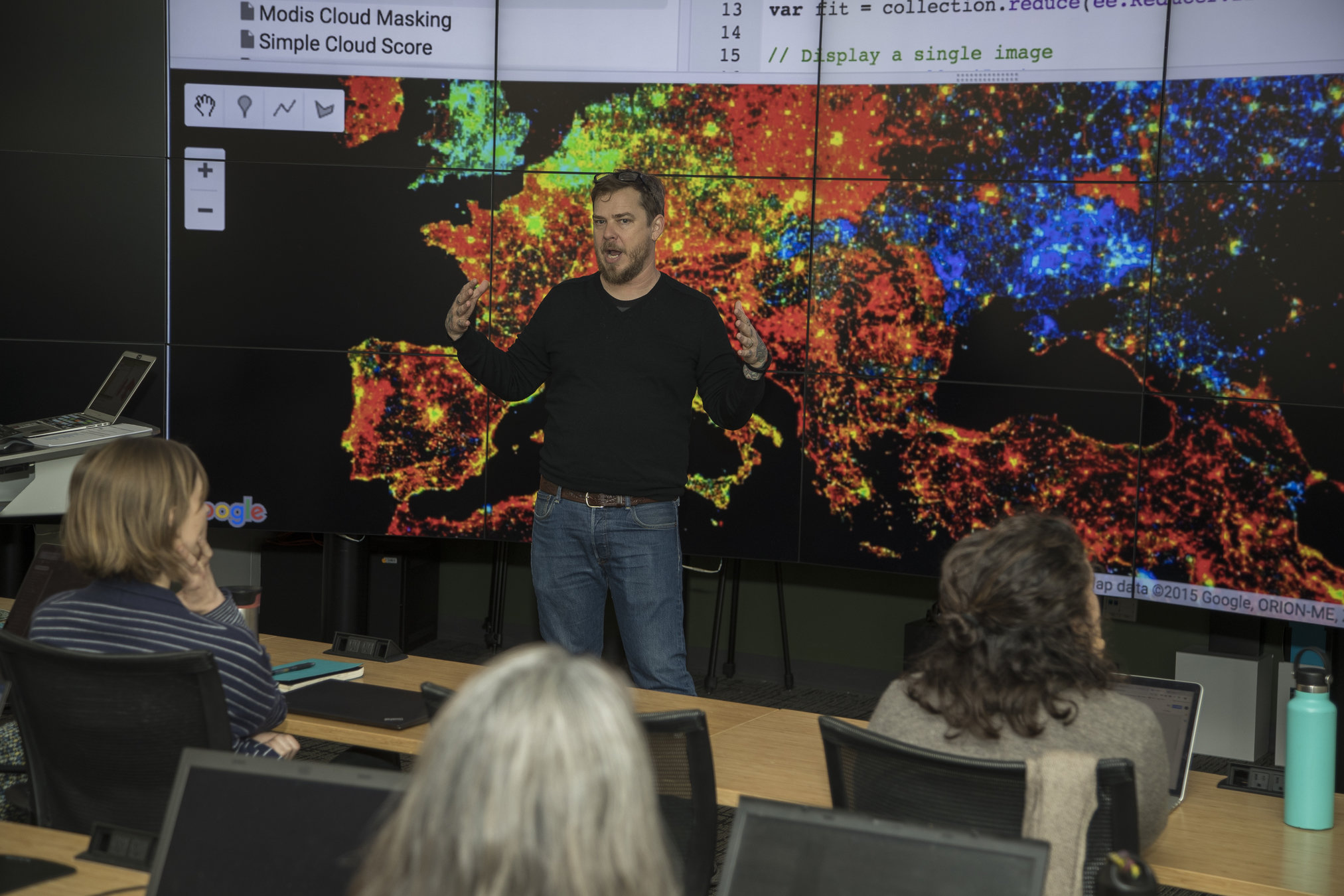
Why AI Is Essential
-
Scale exceeds human review capacity
-
Extracts meaning from historical & modern map data
-
Automates:
-
Feature detection
-
Text recognition
-
Semantic segmentation
-
Temporal change analysis
-

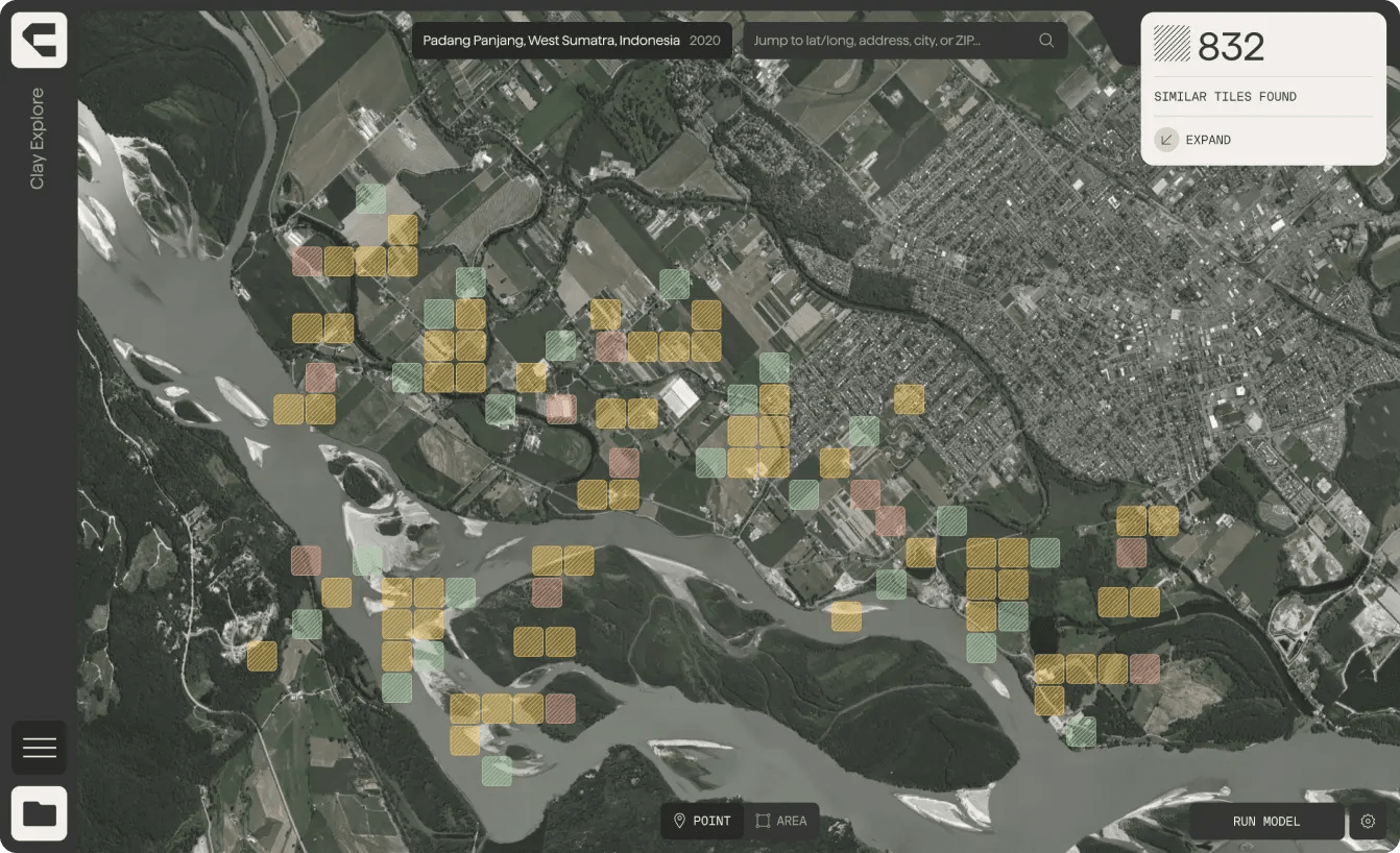
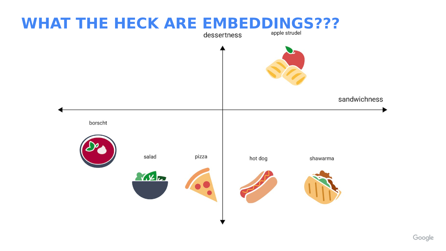
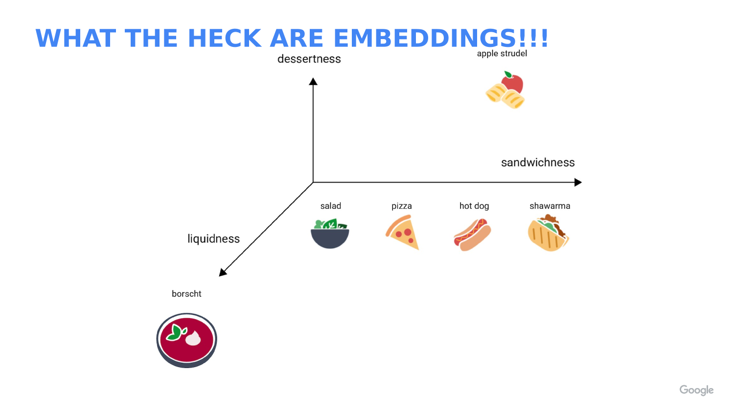
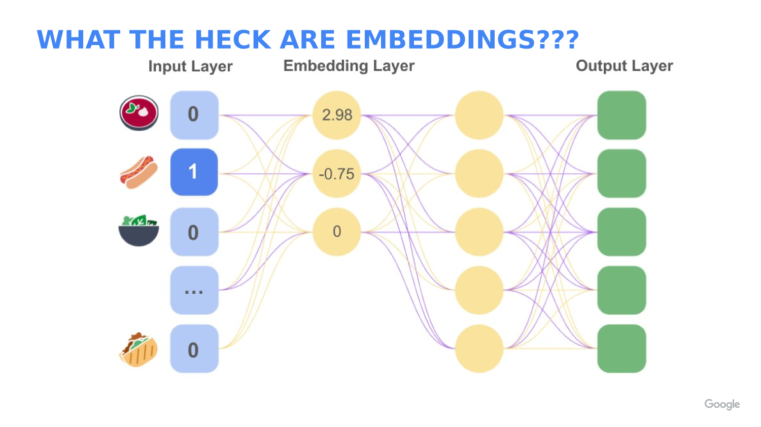
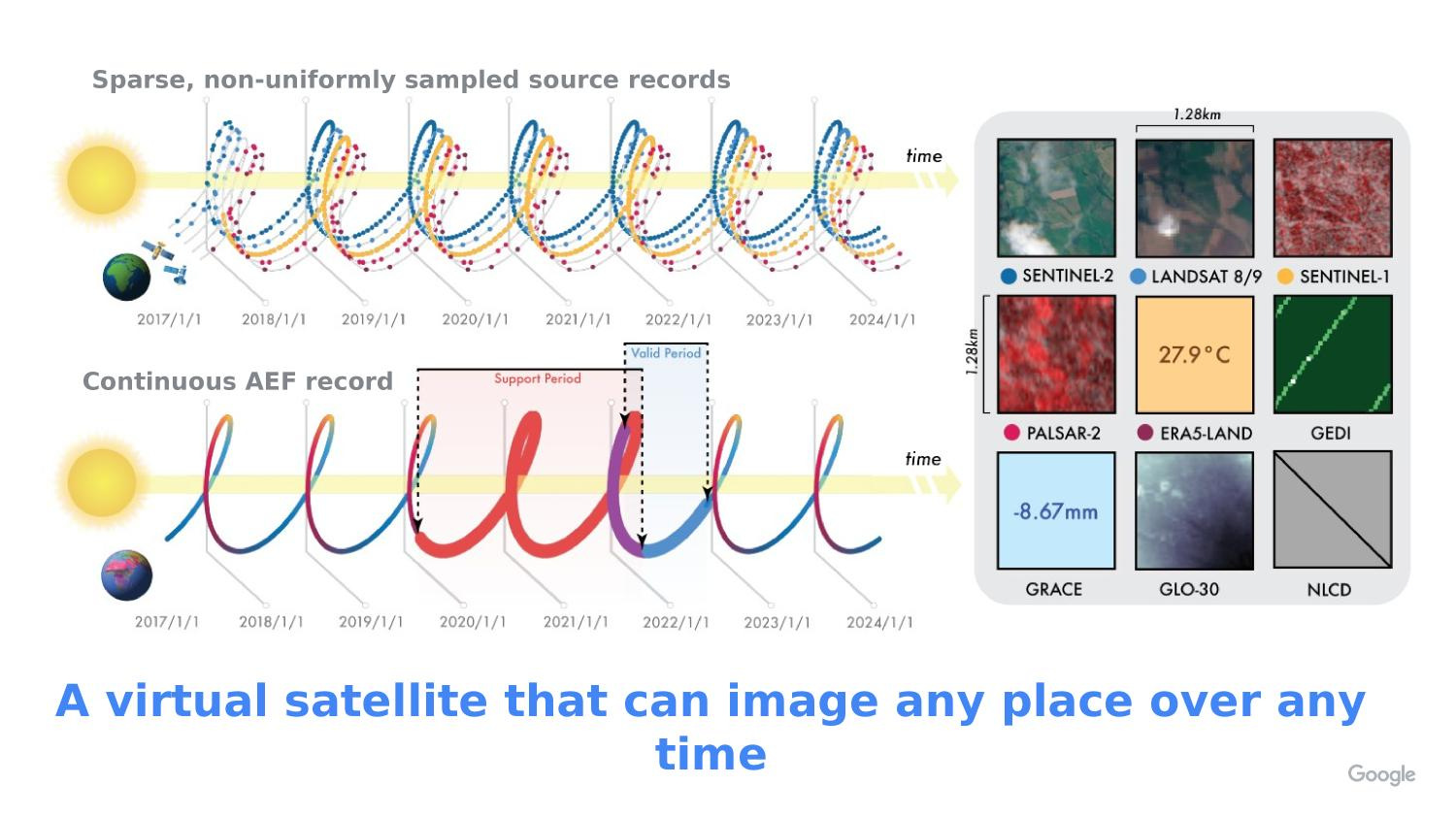
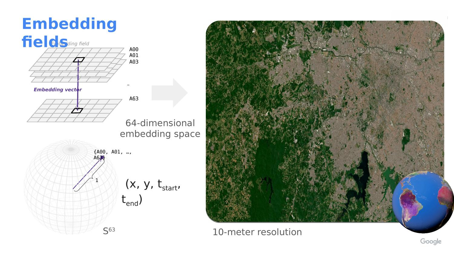
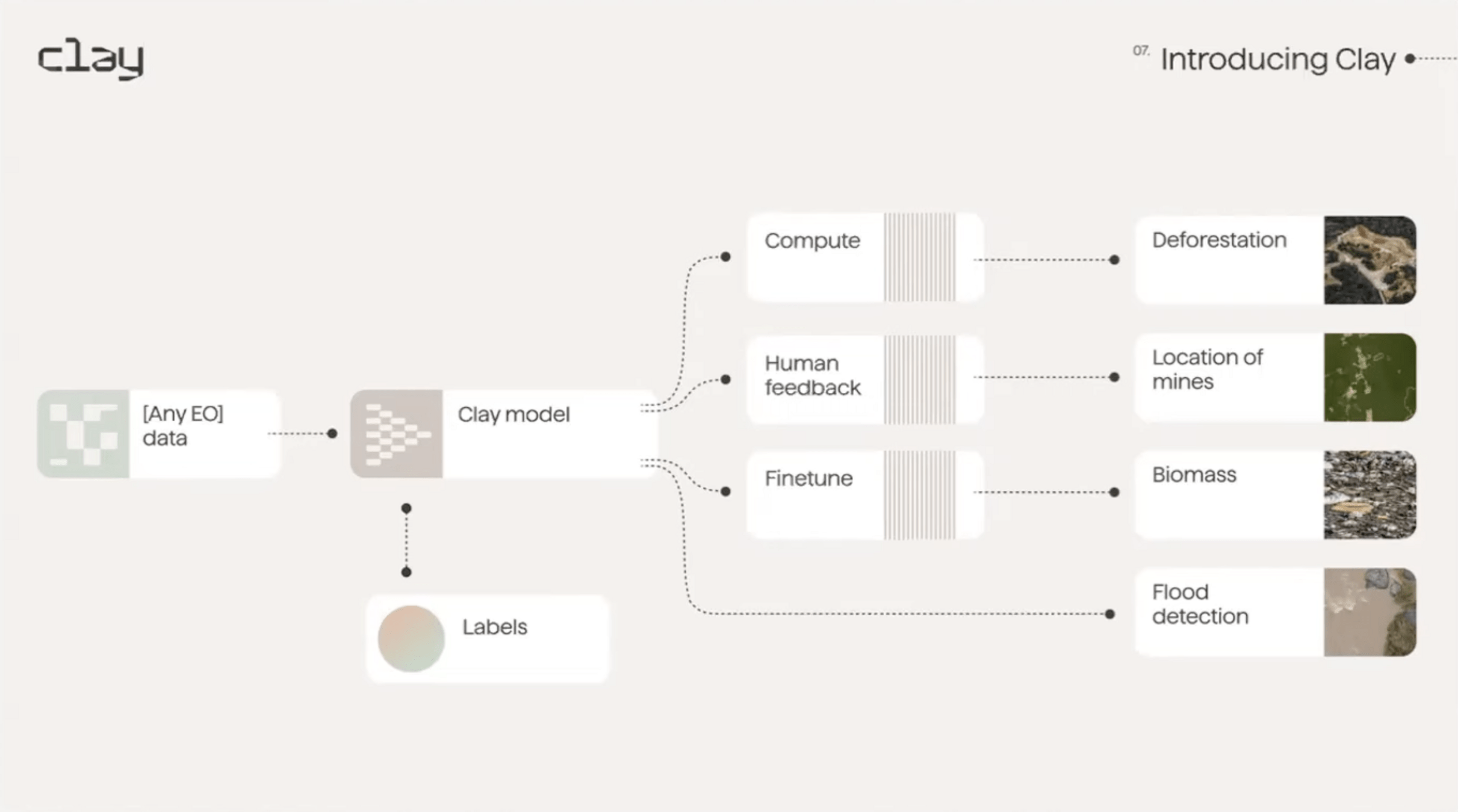
Foundation Models/Embeddings for EO
-
Numerical vectors representing imagery "meaning"
-
Enable cross-sensor comparison
-
Used for:
-
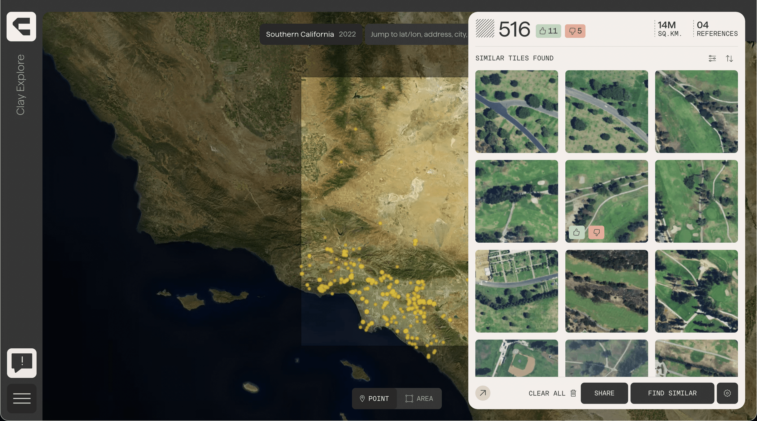
Similarity Search
-
Classification
-
Change detection
-
-
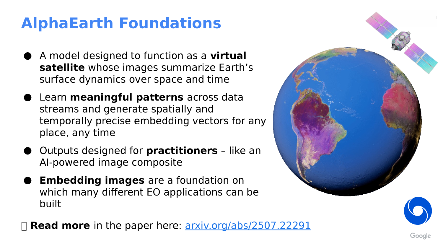
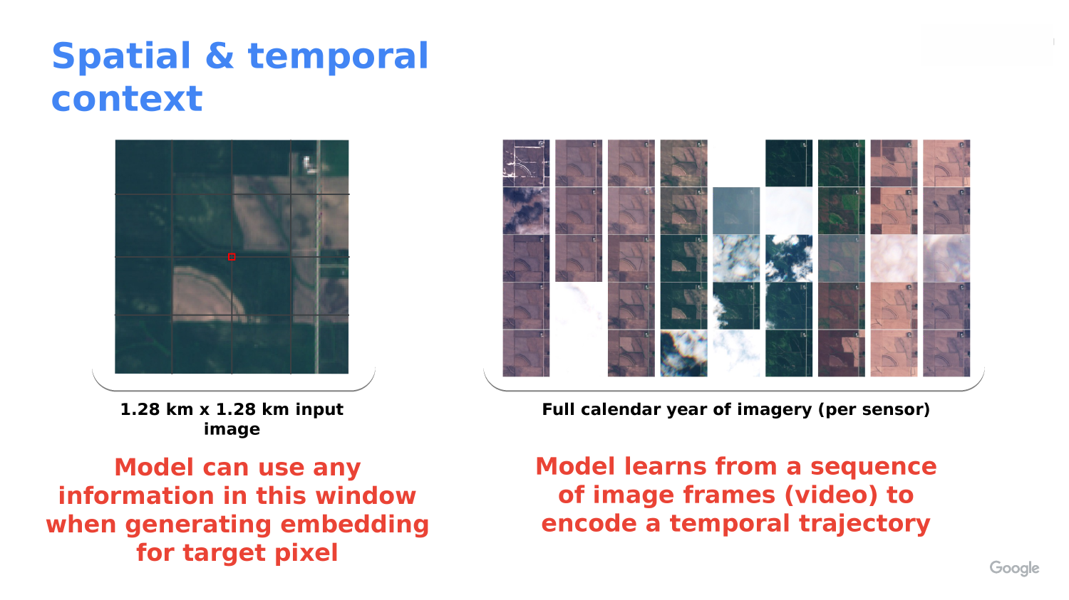
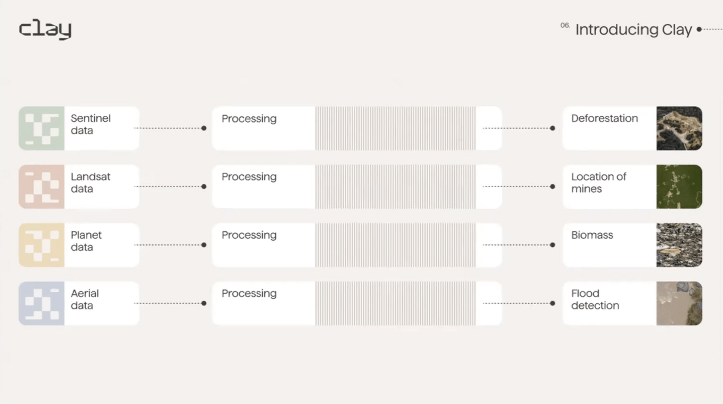
Foundation EO model
-
Accepts imagery characteristics via config
-
Works with:
-
Optical
-
Multispectral
-
Hyperspectral
-
SAR
-
-
Sensor-agnostic embedding generation
CALCULATE YOUR OWN EMBEDDINGS
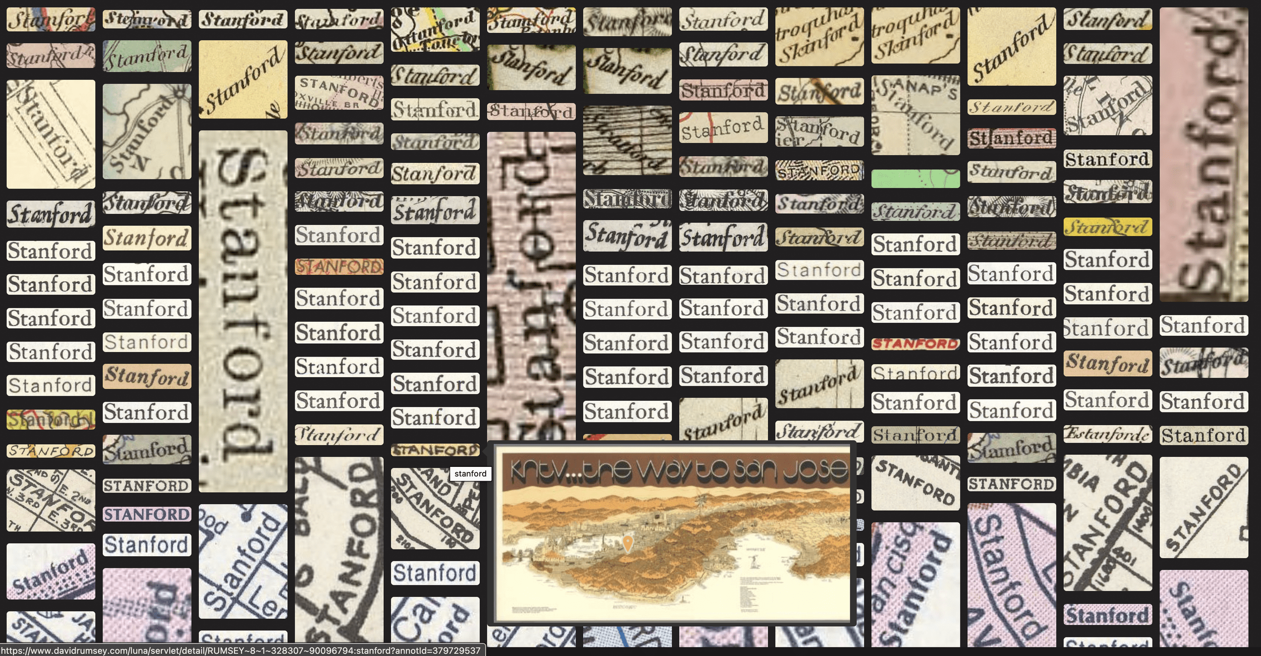
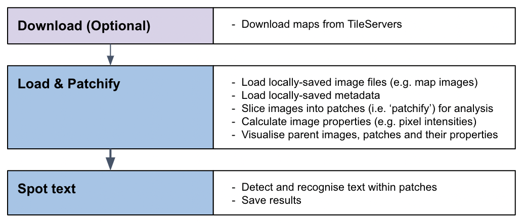
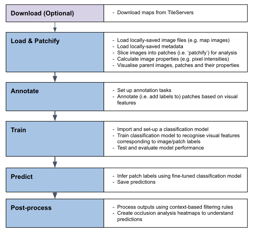
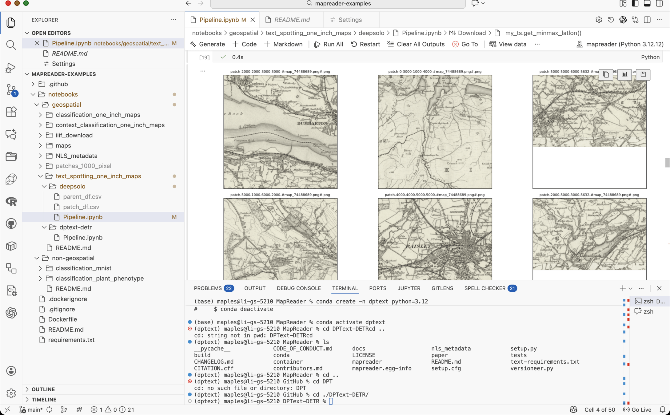
Historic Maps Present a Scaling Problem, too

MapKurator (Knowledge Computing Lab)

SynthText Training Data


MapReader (Turing Institute)
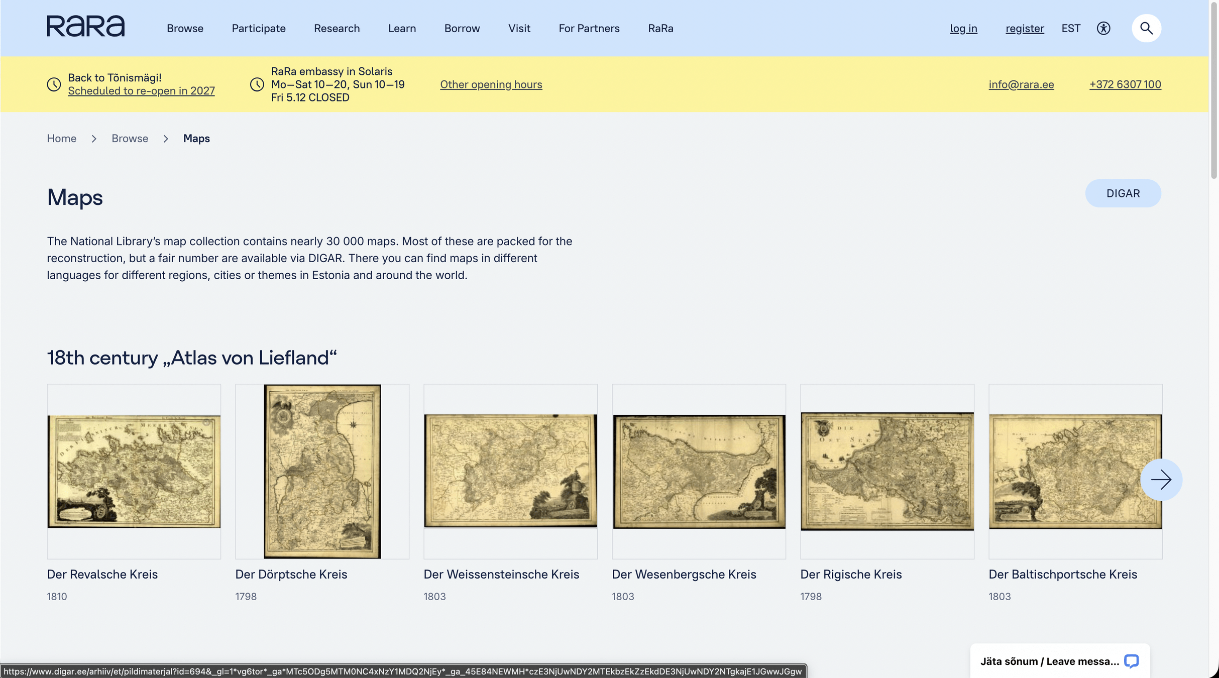
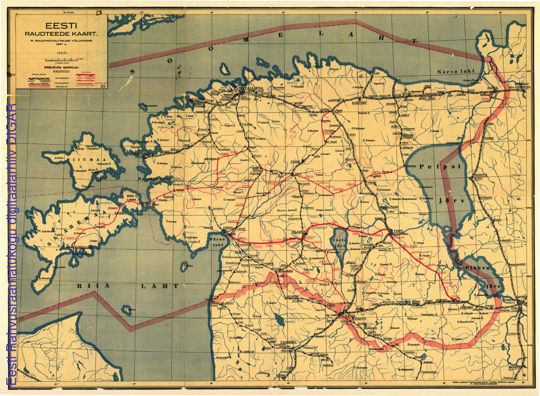
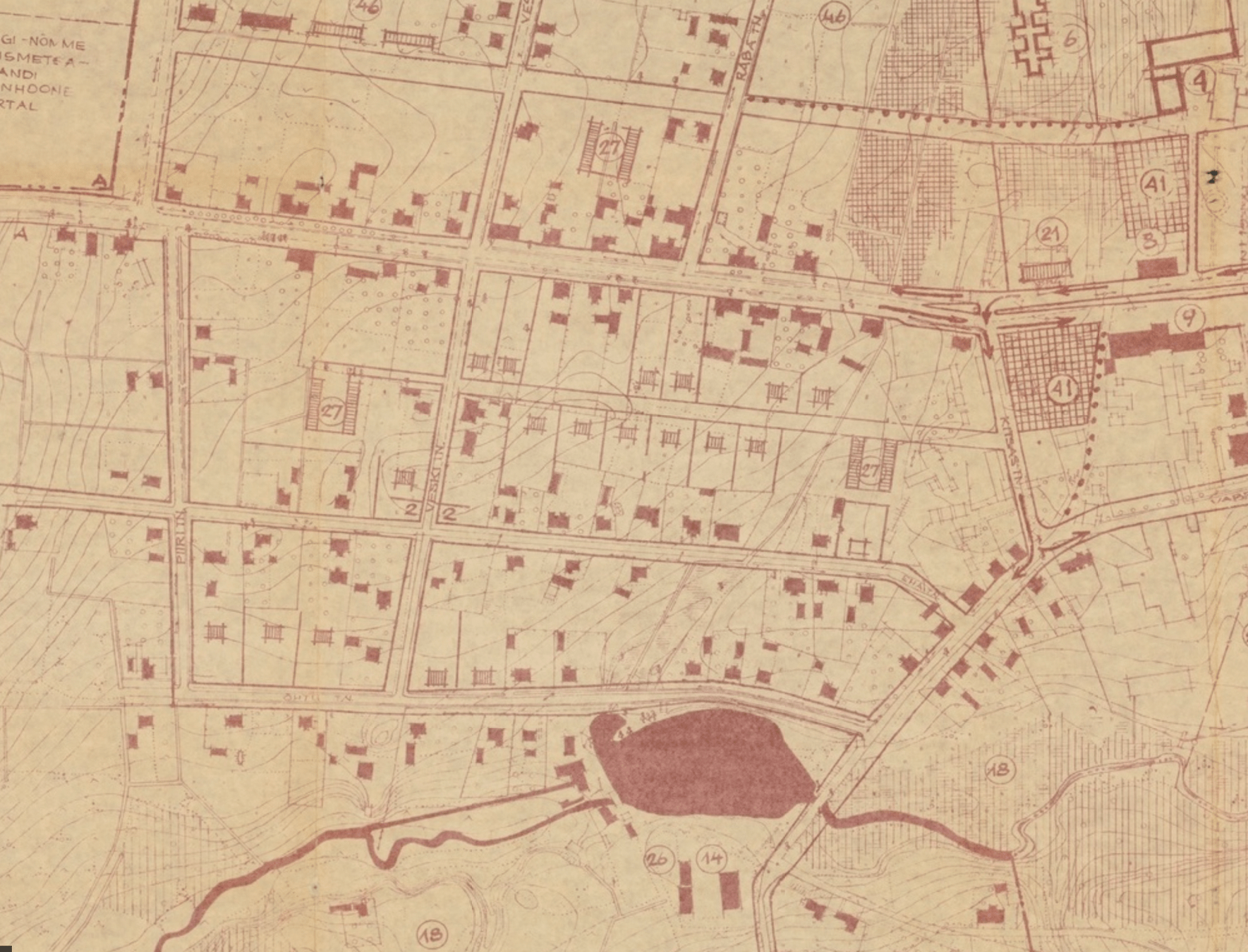
Why Historic Maps Still Matter
Authoritarian regimes often try to control the narrative by manipulating geography: altering maps, renaming places, or deleting settlements.
The Human Capital Behind Map Resilience
-
Archivists
-
Cartographers
-
Historians
-
Local knowledge keepers
-
Stewards of cultural memory

-
Maps preserve truth of memory.
-
EO preserves reality.
-
AI provides understanding at scale.
Links to play with:
CDL Talk
By Stace Maples


