Earthsys 144: Fundamentals of GIScience
Introduction to Spatial Concepts and Applications
where is your data? gis.stanford.edu
https://slides.com/staceymaples/earthsys144-lecture01
Waldo Tobler's 1st Law of Geography
"everything is related to everything else, but near things are more related than distant things."
https://slides.com/staceymaples/earthsys144-lecture01
Stace's 1st Law of Geography
Everything is somewhere, and that somewhere matters."
https://slides.com/staceymaples/earthsys144-lecture01
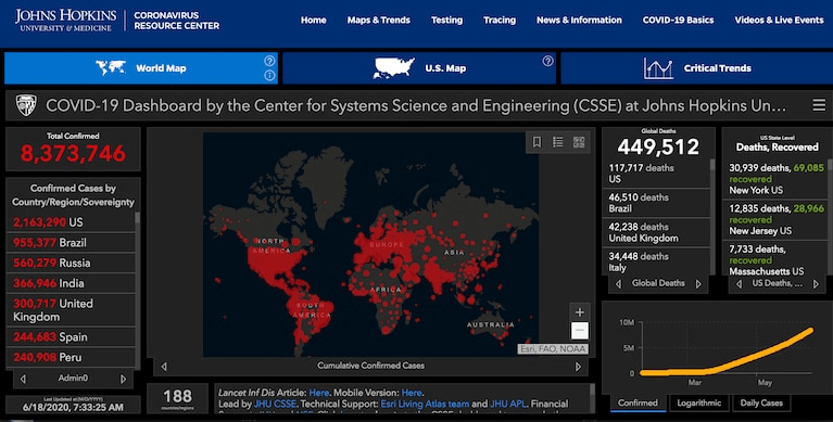
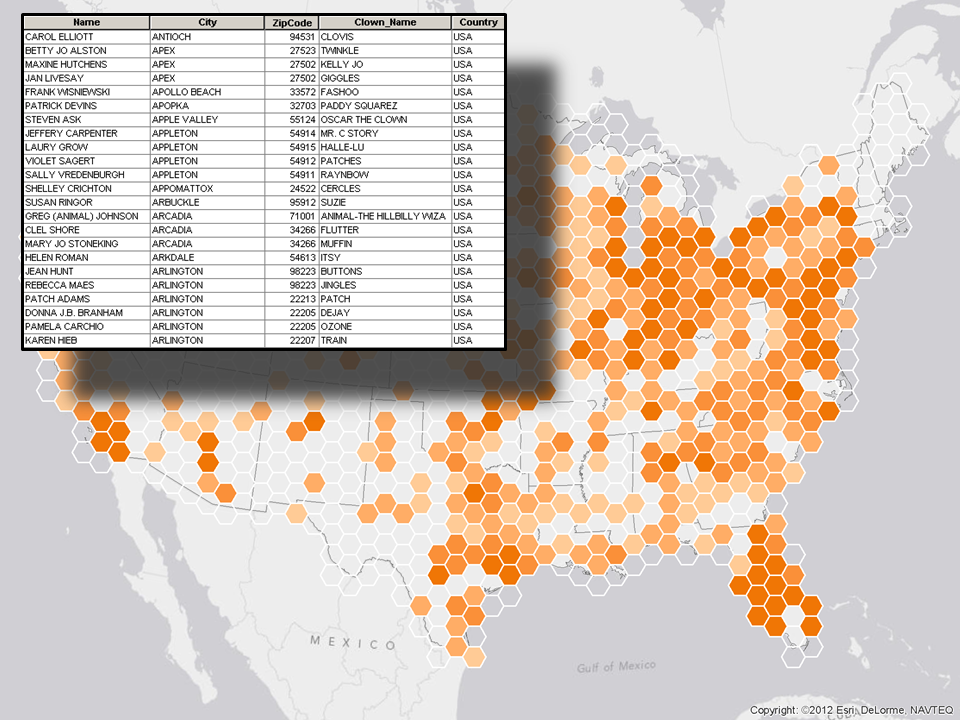
Spatial Data is Everywhere
https://slides.com/staceymaples/earthsys144-lecture01


What is (a) GIS?

Text
Rosnay, J. D. (1979). The macroscope: A new world scientific system. Harper & Row.
GIS
Geographic Information Science
Geographic Information Systems
Geographic Information Science
Geographic Information System
...a computer-based system to aid in the collection, maintenance, storage, analysis, output, and distribution of spatial data and information.
(Bolstad, 22)

People?!
Geographic Information Science
Geographic Information System
Geographic Information Software
...deals with the techniques & models to capture, manage, analyze and present geographic information.
Who is GIS useful for?
Everything is somewhere, and that somewhere matters
Geographic Information Science
is fundamentally independent of specific application areas.


How Does GIS Model the World?


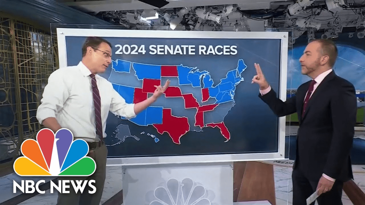
Vector Data


Raster Data
Raster Data is Pixels
Pixels are numeric values


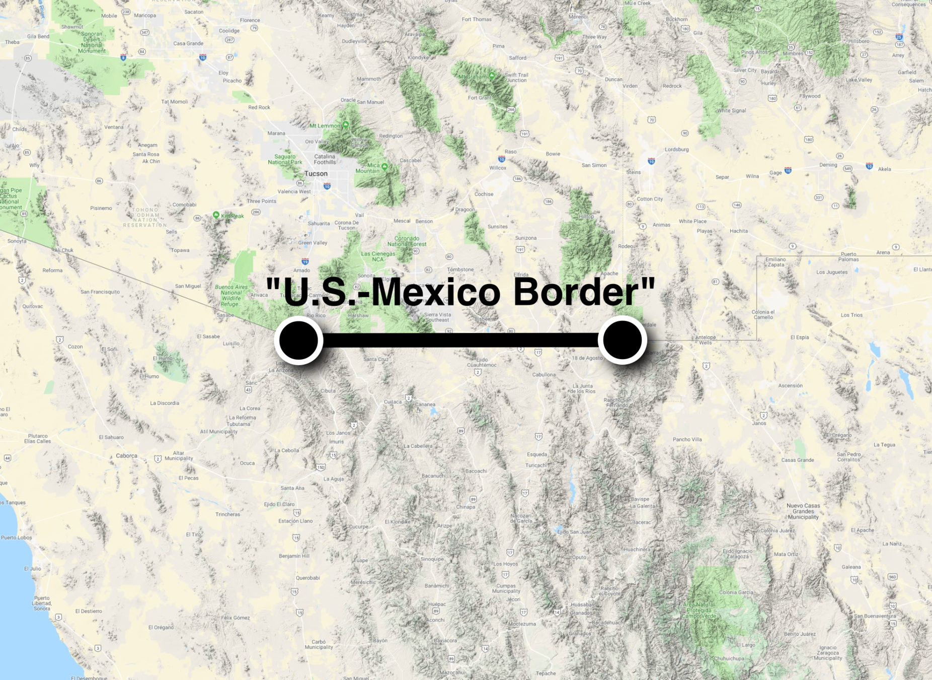
Everything is somewhere, but how do we say where?

Geographic Coordinate Systems

Projected Coordinate Systems
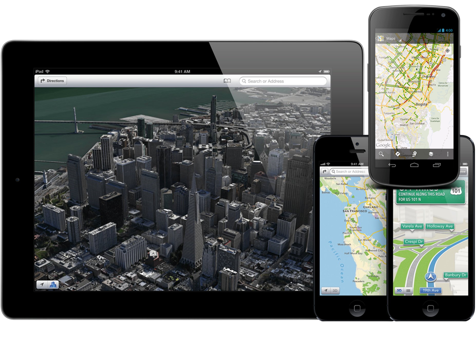
Web Maps

The "special" case of Web Mercator


Thinking "Spatially"
Spatial Relationships
- Adjacency
- Containment
- Intersection
- Proximity
Proximity
Intersection


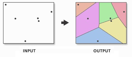
Zonal Statistics

Simulation
- Hillshade
- Viewshed
- Hydrology
- Movement/Least-cost paths
- Agent-based models
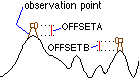
Simulation (Viewshed)


Applications


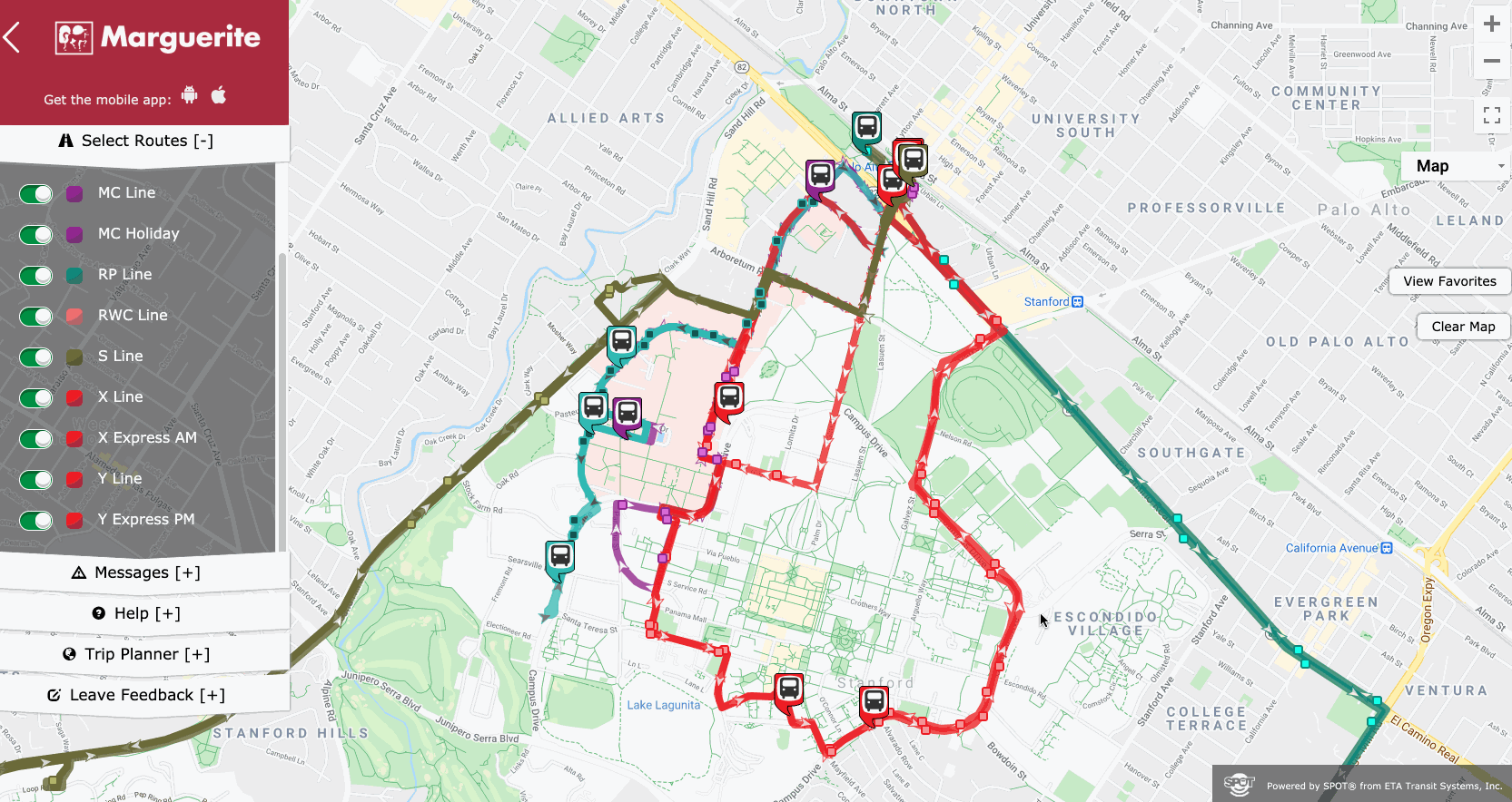
https://tasks.hotosm.org/


Platforms & Software
Desktop Software
Cloud/WebGIS
APIs / SDKs / Libraries
GDAL
Geospatial Data Abstraction Library
Data Sources
We made it to the End of the first lecture!
Readings
Labs this week will be posted times, but held at the Stanford Geospatial Center at Branner Earth Science Library

KZSU.stanford.edu
Listen to our our KZSU Robot DJ:
kzsu.rocks
Week 00 - Introduction to Spatial Data Science
By Stace Maples


