Unmanned Aerial System (UAS) Mapping 2015 Reno, NV
October 14, 2015
September 28 - 30, 2015
American Society of Photogrammetry & Remote Sensing (ASPRS) Unmanned Aerial System Technical Demonstration & Symposium Recap
- Introduction of UAS
- Conference Highlights
- Next Step

ASPRS
American Society for Photogrammetry and Remote Sensing

"Found in 1934 to Advance knowledge and improve understanding of mapping sciences to promote the responsible applications of photogrammetry, remote sensing, GIS and supporting technologies."
UAS - Unmanned Aerial System
FAA Definition: Unmanned aircraft (UA) and all associated support necessary to operate the unmanned aircraft safely. The system is operated by a pilot via ground control or on-board computer.
UAS Categories

Small
- Size: 1 - 2 meters, < 55 lbs.
- Control: Visual line of sight, Radio control
- DJI Phamtom, 3DR - Solo, Insitu - ScanEagle
Medium
- Size: Equivalent to a car, ~ 1000 lbs.
- Control: Visual Line Of Sight (VLOS) & Beyond LOS, RC & Satellite
- General Atomics -MQ1 Predator
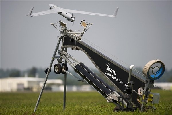
Large
- Size: > 30,000 lbs.
- Control: Visual Line Of Sight (VLOS) & Beyond LOS, RC & Satellite
- Northrop Grumman RQ-4 Global Hawk ~$222 Million


UAS
Unmanned Aerial Systems "Drone"

Why Now?

Cell Phone + Lower $$
- Electronic Control System (ECS)
- Accelerometer & Gyroscope Chip
- GPS Chip
- Lithium Polymer (LiPo) Battery
- Motors


- Economical
- Easy to use
- Quality data collection
- Consistency/accuracy

Types of UAS Operations
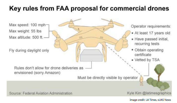
- Public Operations (Governmental)- Cert. Of Authorization
- Civil Operations (Non-Governmental/ Commerical) Section 333 Exemption.
- Model Aircraft (Hobby/Recreation only) Register
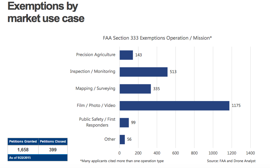
Current Use Case
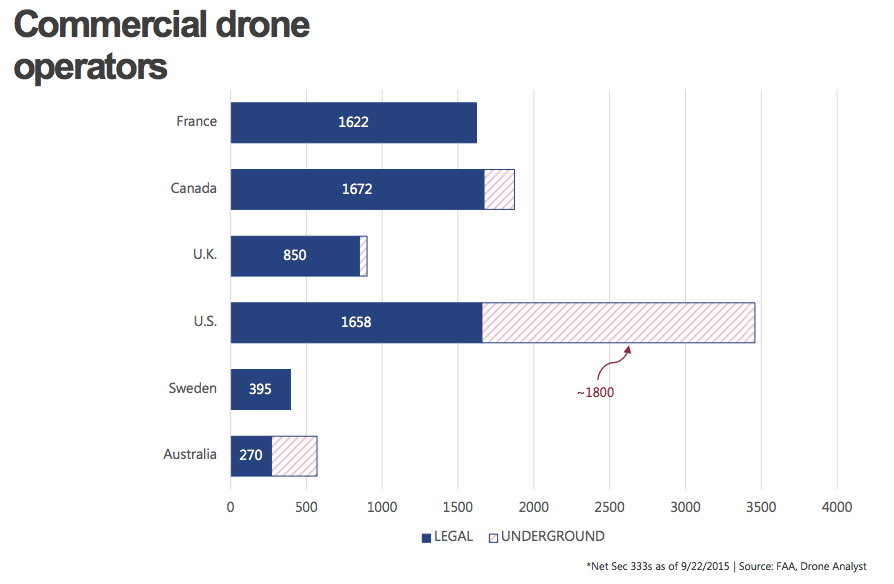
Number of Operators
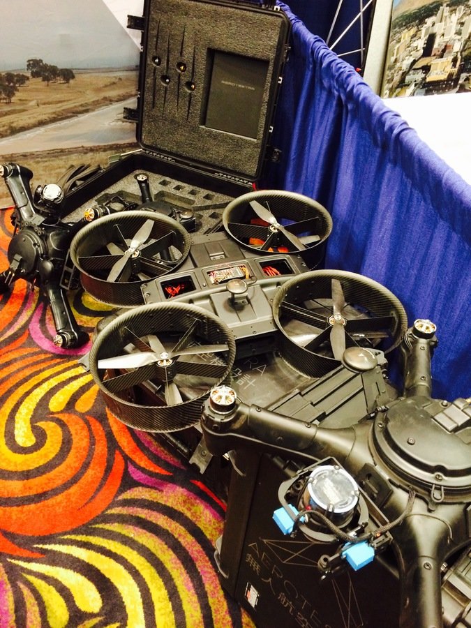
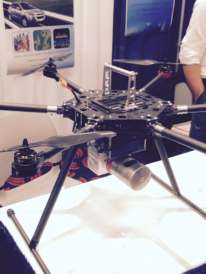
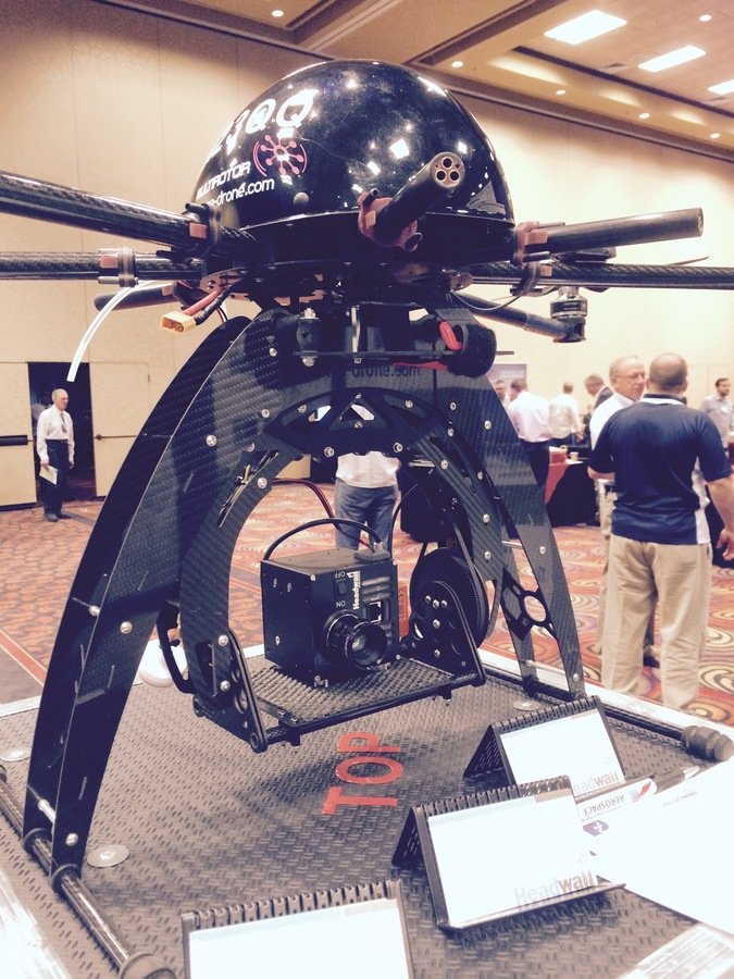
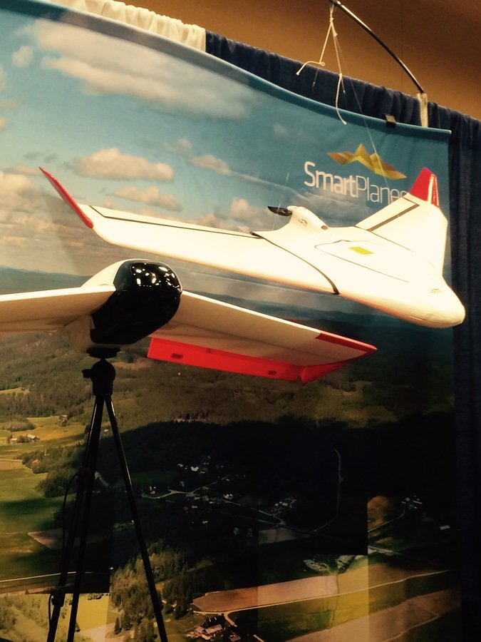
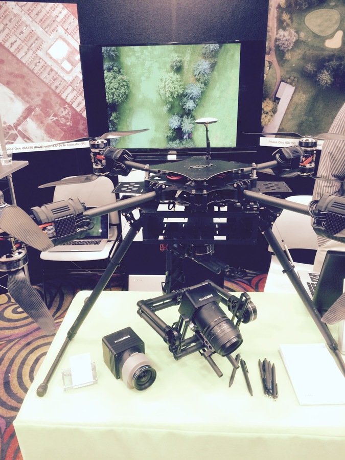

sUAS as Platform
Multi-rotors
Fixed wings
Sensors


Multi-spectral
Thermal Infrared

Lidar Camera

High resolution digital camera
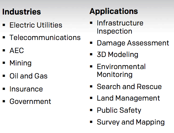
Industries and Applications for UAVs
Best Practice
- Fly mission -> Upload data -> Automatic processing -> Analytic Data
- Data is important but more importantly the Analytic information/knowledge that generated from the data from drone is important
- Repeatable & Scalable important feature
- Managing drone in enterprise level
- aircraft
- workflow
- resulting information product managment
Lesson Learn
- Understanding various platform and sensors
- Various software packages to process captured data
- Various flying techniques for capturing aerial data
- UAVs are just another tools in the toolbox
- Similar to GIS - help decision makers with appropriate analytic information
What's Next?
- Write Business case using A3 from Lean training
- Roof top inspection - WTD
- Flooding structure inspection - WLRD
- Aerial inventory of landfill - Solid Waste
- Have clear understanding of steps to proceed for FAA's approval of use of small UAVs for public work
- Presentations and Educations
END
for now
ASPRS UAS Conference Summary
By Peter Keum
ASPRS UAS Conference Summary
Conference summary and talking points for what sUAV is to KC staffs


