OpenStreetMap

Andrew Harvey
@alantgeo
What is OpenStreetMap
Geospatial Dataset
OSM Data Model
3 Element Types
Key-Value Tags
Versioned Objects
Changesets
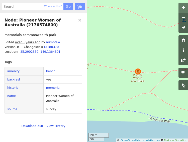
Node
key-value tags
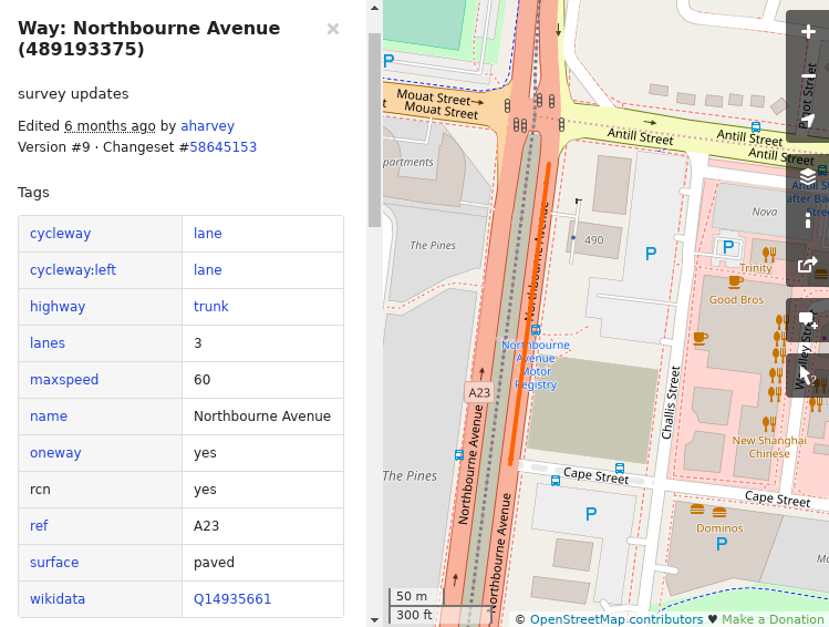
Way
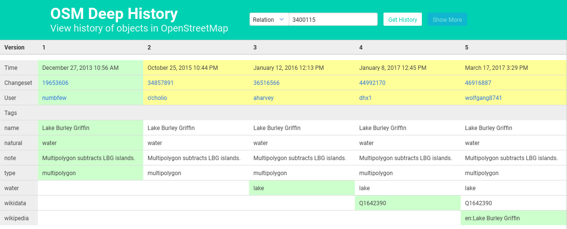
Relation

Object History
planet.openstreetmap.org - 42GB
ACT Extract - 6.5MB
OSM XML native format
Many tools to work with OSM data:
FME, OGR, PostGIS loader, Osmium
Global Community
of Contributors
-
Many backgrounds
-
Some work in IT or GIS, but many don't
-
Age demographic is representative of the population
-
Increasingly more commercial companies
-
Mapbox, Microsoft, Facebook, Apple, Uber ...
-
-
Starting to see more government involvement, but still in it's infancy
-
Statistics Canada, Transport for NSW ...
-
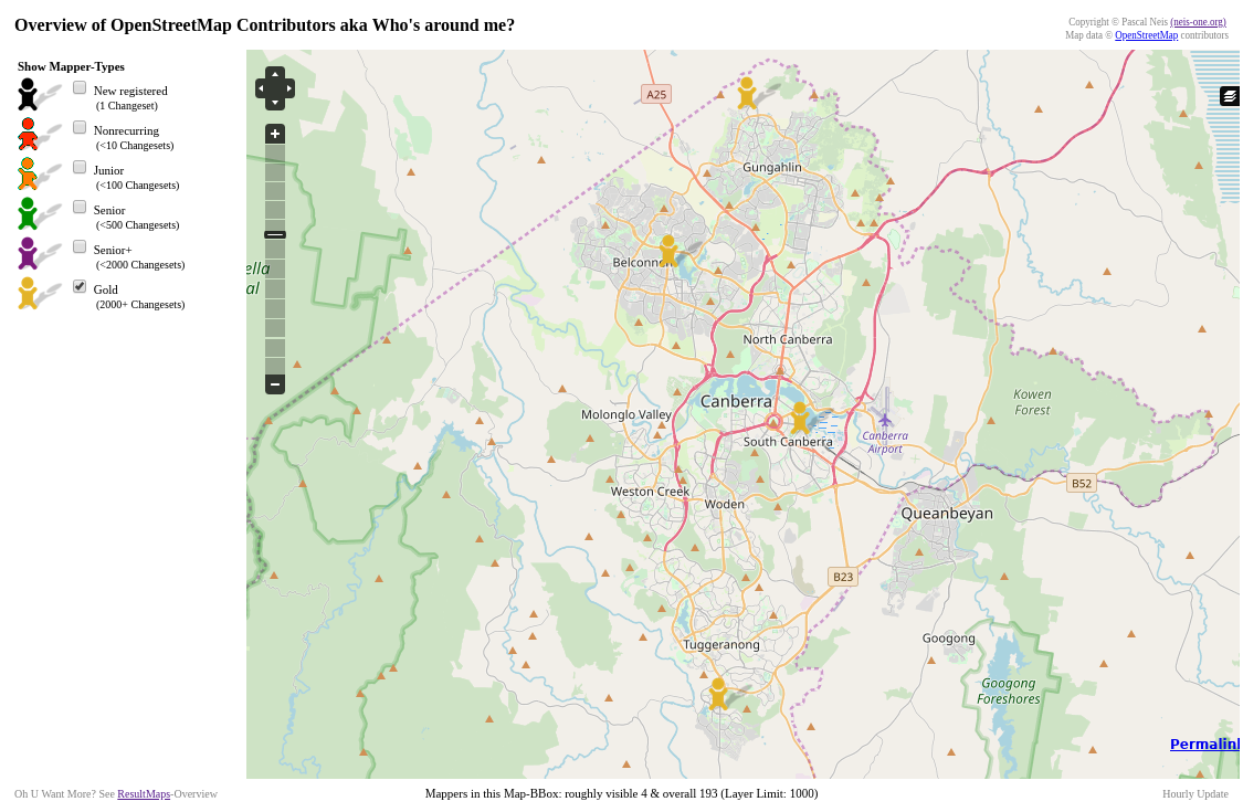
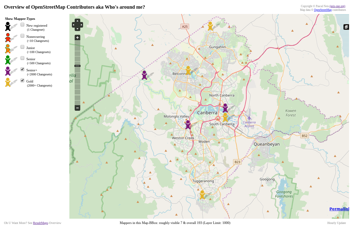
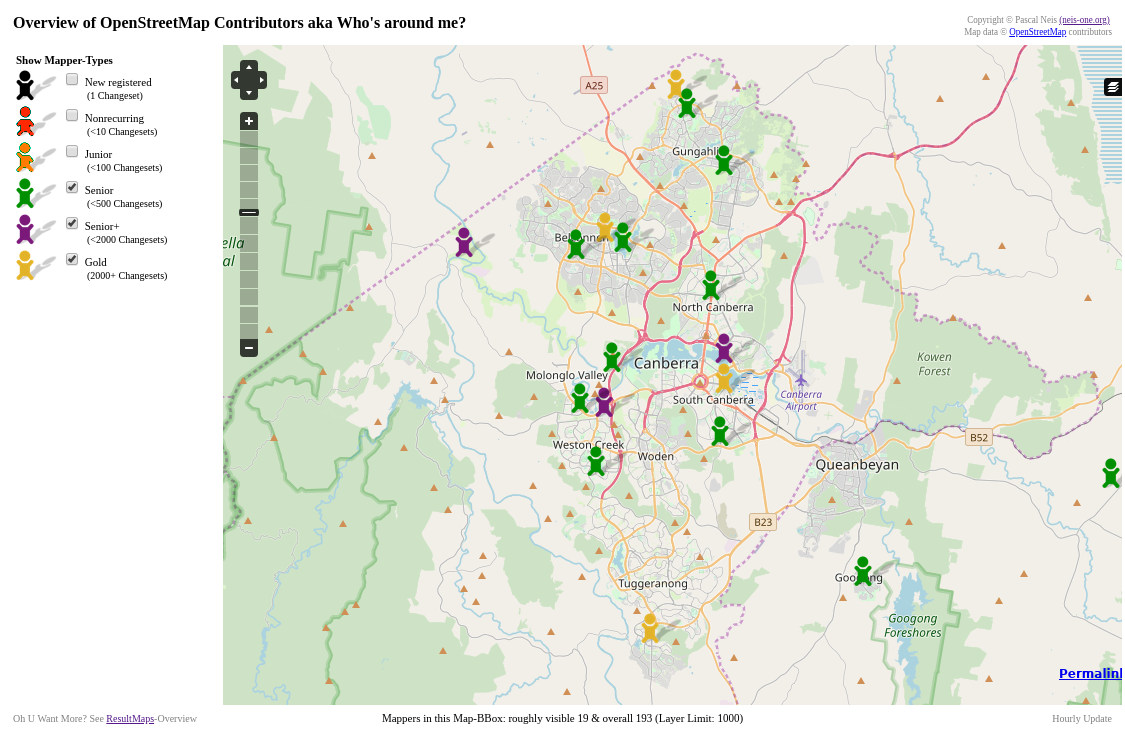
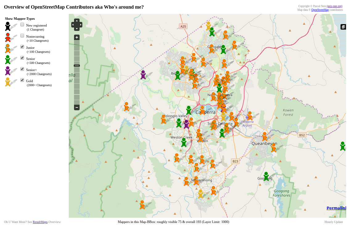
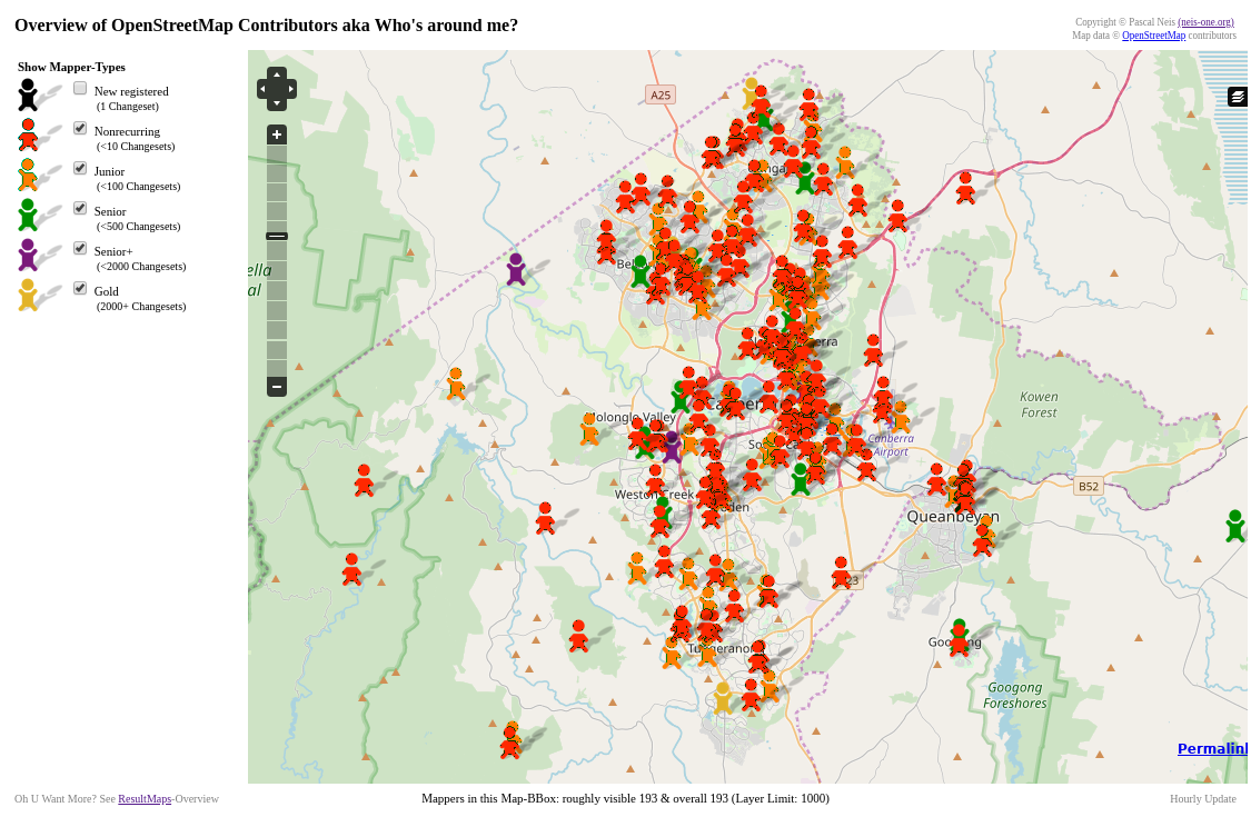
Where does collaboration happen?
talk-au mailing list
mapping parties/mapathons
maptime slack chat
changeset comments
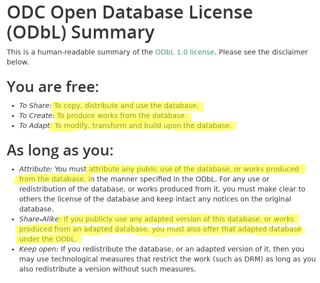
Free and open licensing
ODbL, similar to CC BY-SA
Regional Cuts
Horizontal Layers
Geocoding
Produced Work
Substantial
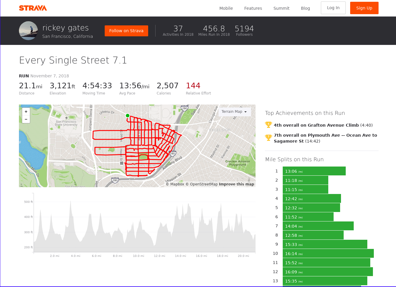
Who's using OSM

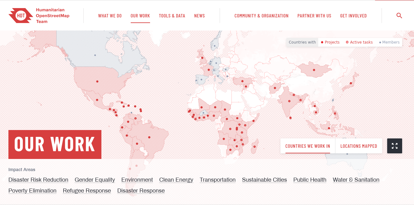
Academic Research
Personal Use
+
many many more
Contributing to OpenStreetMap
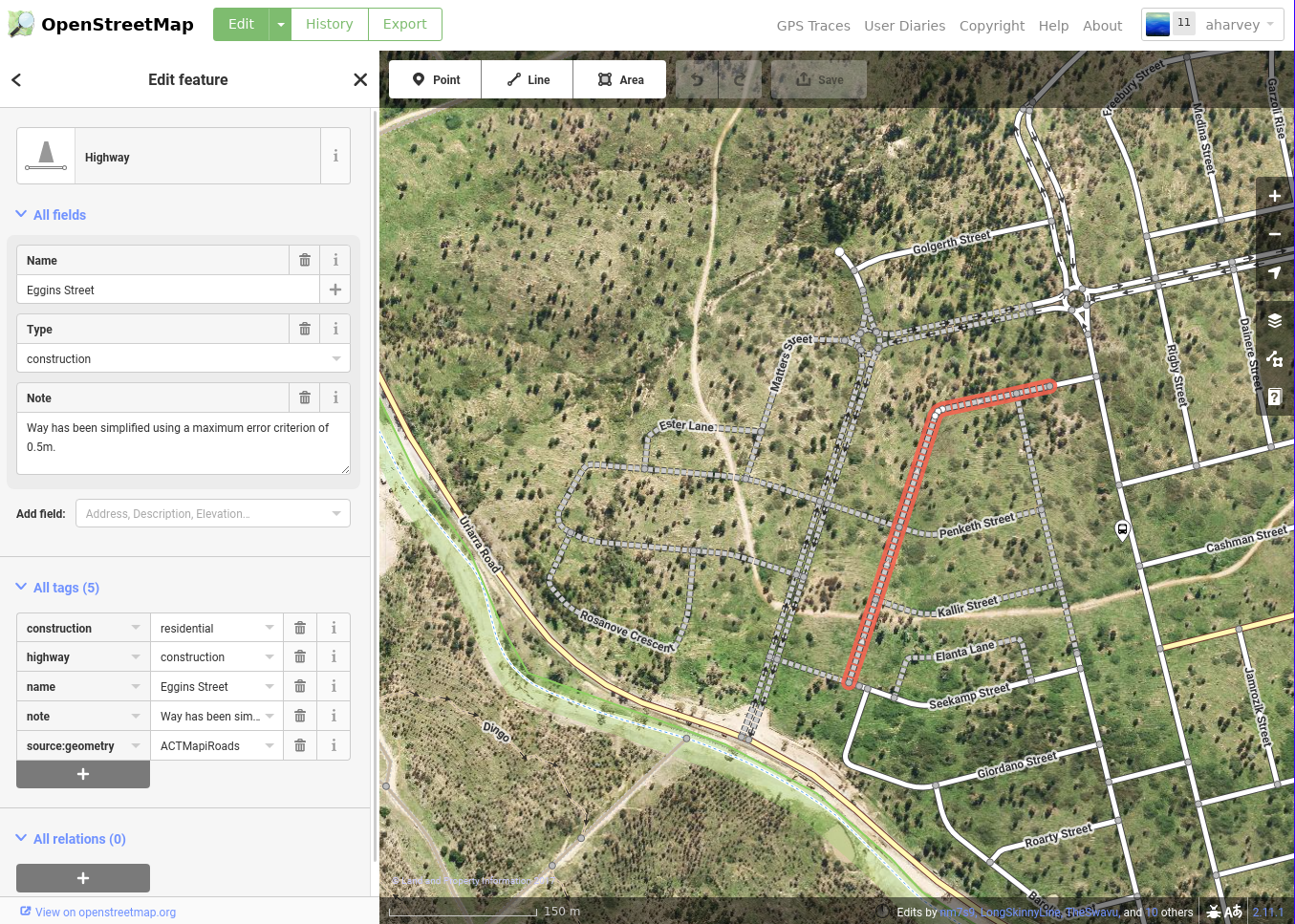
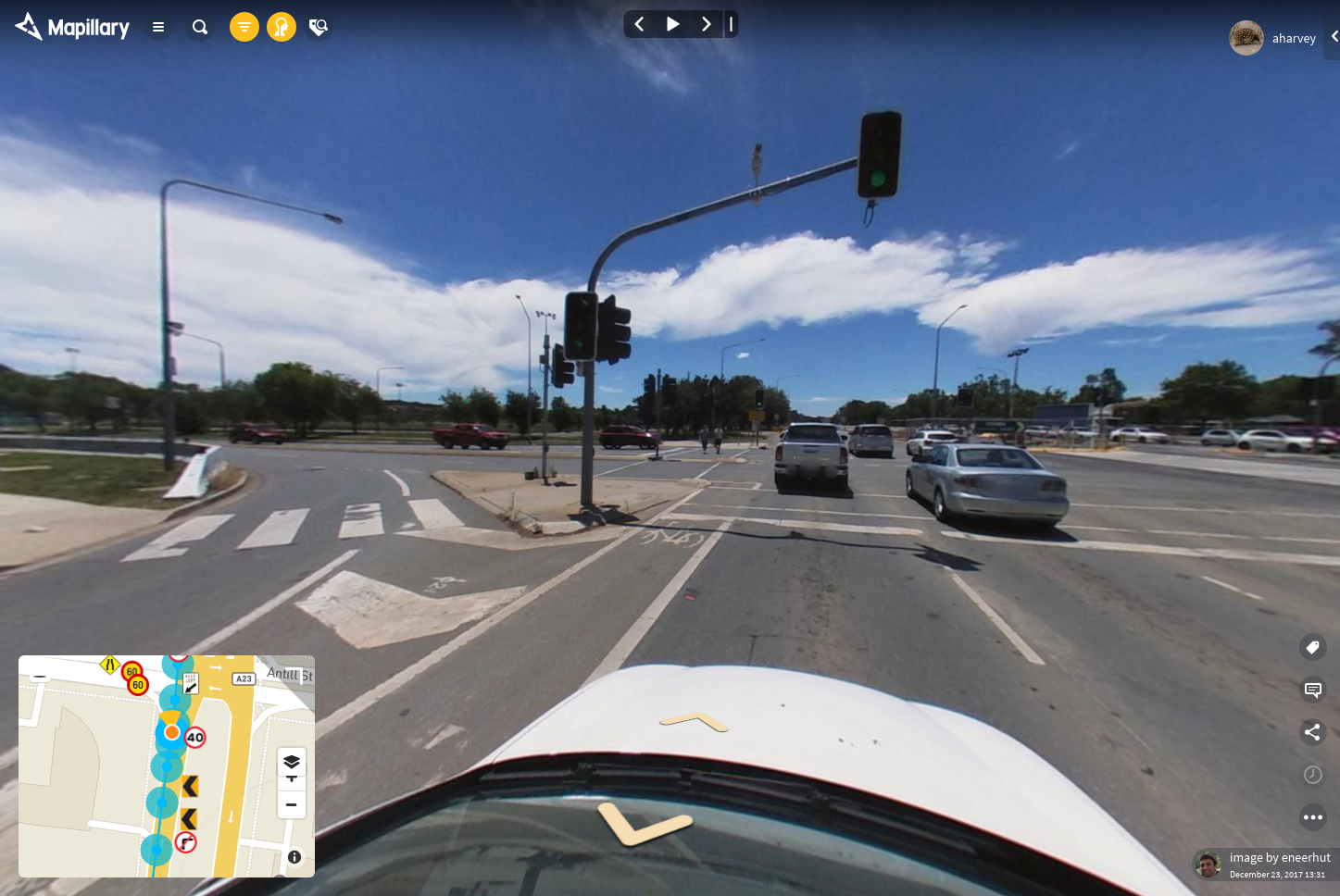
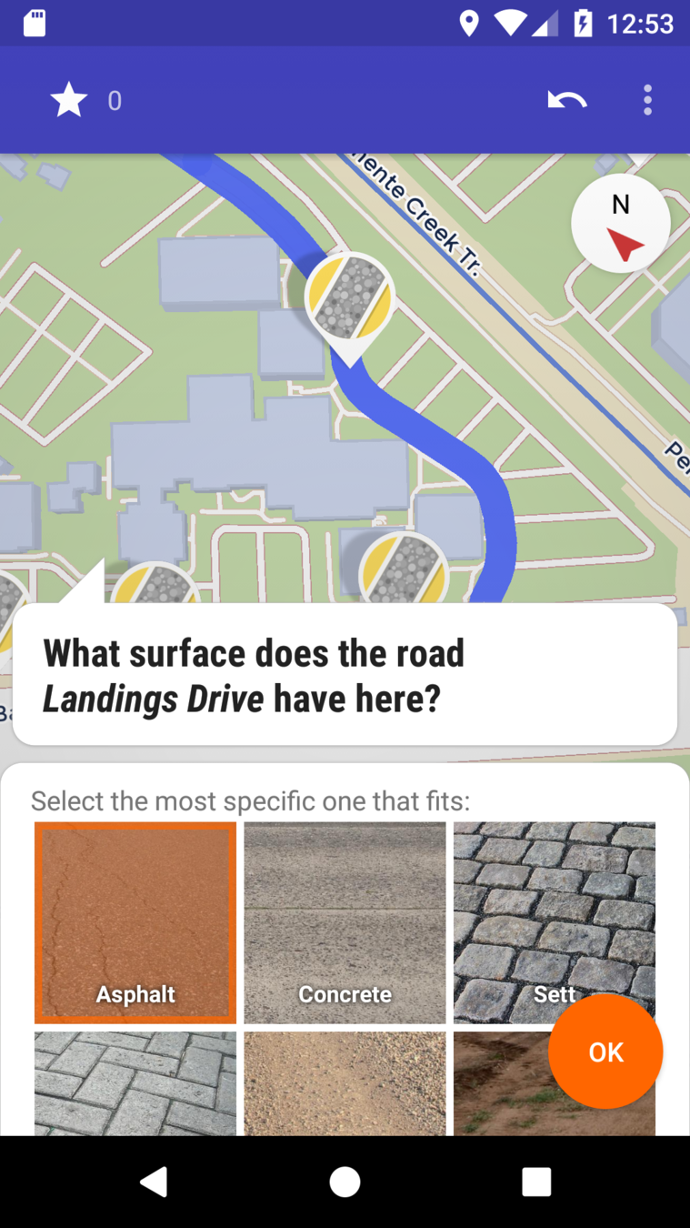
Mobile apps for field based surveys
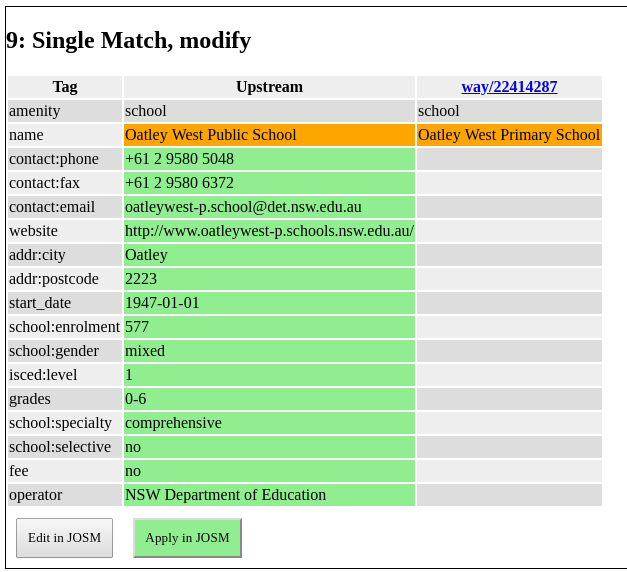
Imports
Have you used OSM?
I'm interested to hear what for,
how you found it,
what worked, what didn't?
Questions?
Thank you
OpenStreetMap and Government
By Andrew Harvey
OpenStreetMap and Government
- 221


