

Ben Abelshausen
ANYWAYS is a company specialized in routing & mobility.
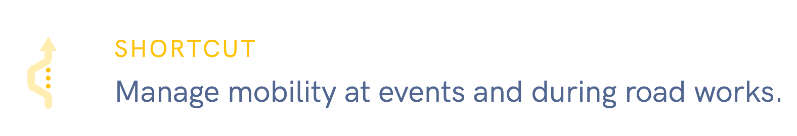
Manage and plan changes in a transportation network with a data driven approach.
Long time OSM member/contributor.
Involved in many ways, organized a State of the Map, started OSM Belgium and (ex-)member of various OSM organizations and boards.
Software developer with specialty route planning.
ben@anyways.eu
@xivk@mstdn.social
www.anyways.eu
*either a map or via namedropping
An editable version of the OpenStreetMap road network
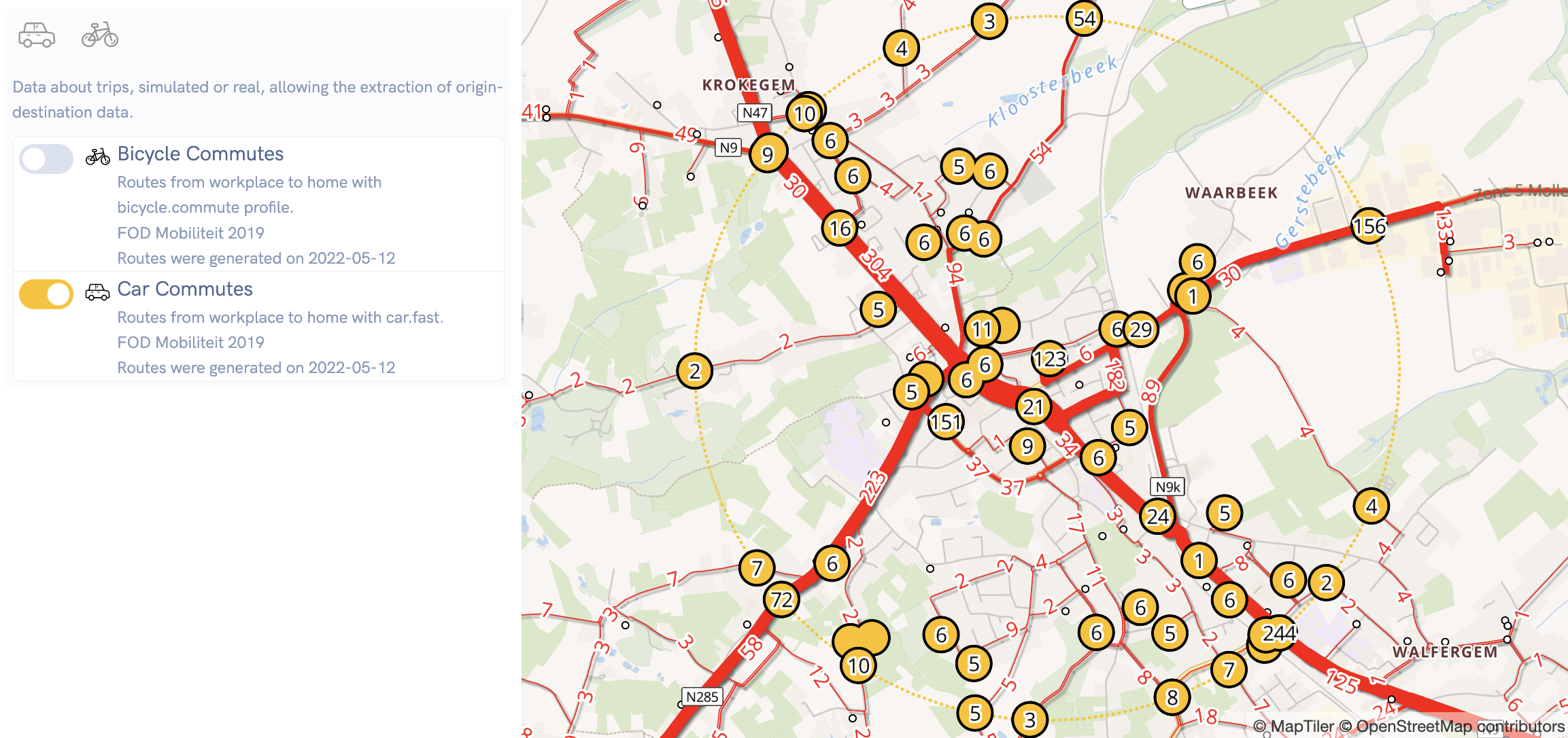
Simulated or actual measured movements where we can extract origin-destination data from
An API with OSM data that can
An API that does routing on top of these forks.
An API that serves vector tiles on top of these forks.
OSM Replication
Scenario 0
Scenario 1
Scenario 2
diffs
A PostGIS database with planet replication that allows forking the current OSM state into a new branch. Each branch is one scenario and has its own OSM-API endpoint.
A changeset is a commit and each commit has a routeplanner and vector tile layer. Only one open changeset per branch.
OSM Replication
Scenario 0
Scenario 1
Scenario 2
diffs
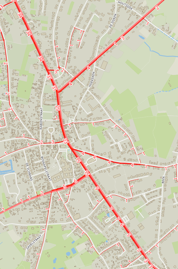
All based on zoom level 14 tiles, on each commit modified tiles are generated. The latest tiles for each commit are then picked up for vector tiling and route planning.
Route planner also tile based.
Usually there are just a few modified tiles
=> almost instant updates
modified tiles list
vector tiles
routeable tiles
modified tiles list
vector tiles
routeable tiles
Scenario X
Also planned:
OSM Replication
diffs
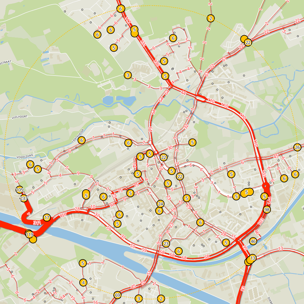
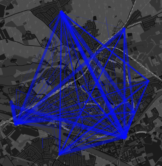
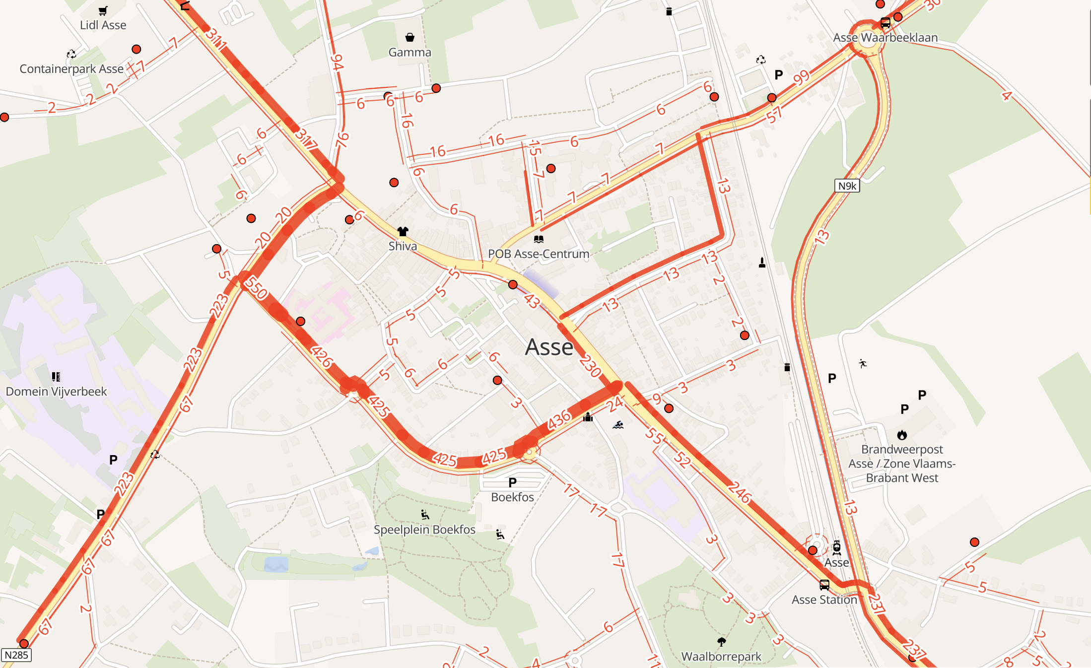
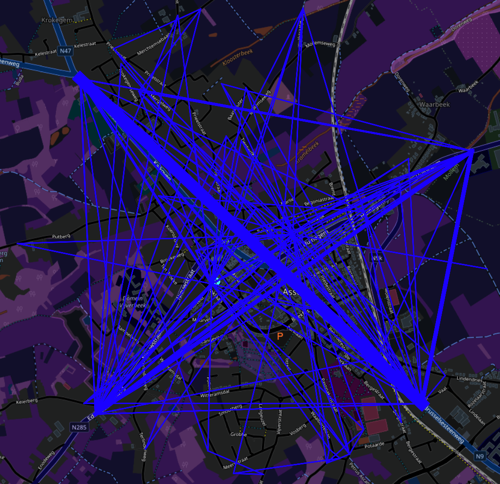
We need data on where people travel and how!
Extract origin-destination data
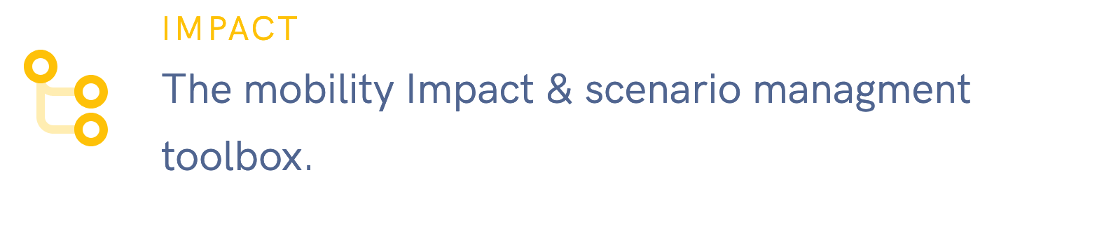
Impact
Build and analyse different mobility scenarios.
- Simpler compared to a traffic model.
- Very quick to setup.
- Easy to use.
- Results are predictable and easily explained.
- Multimodal by default, existing traffic models focus a lot on cars cars cars.
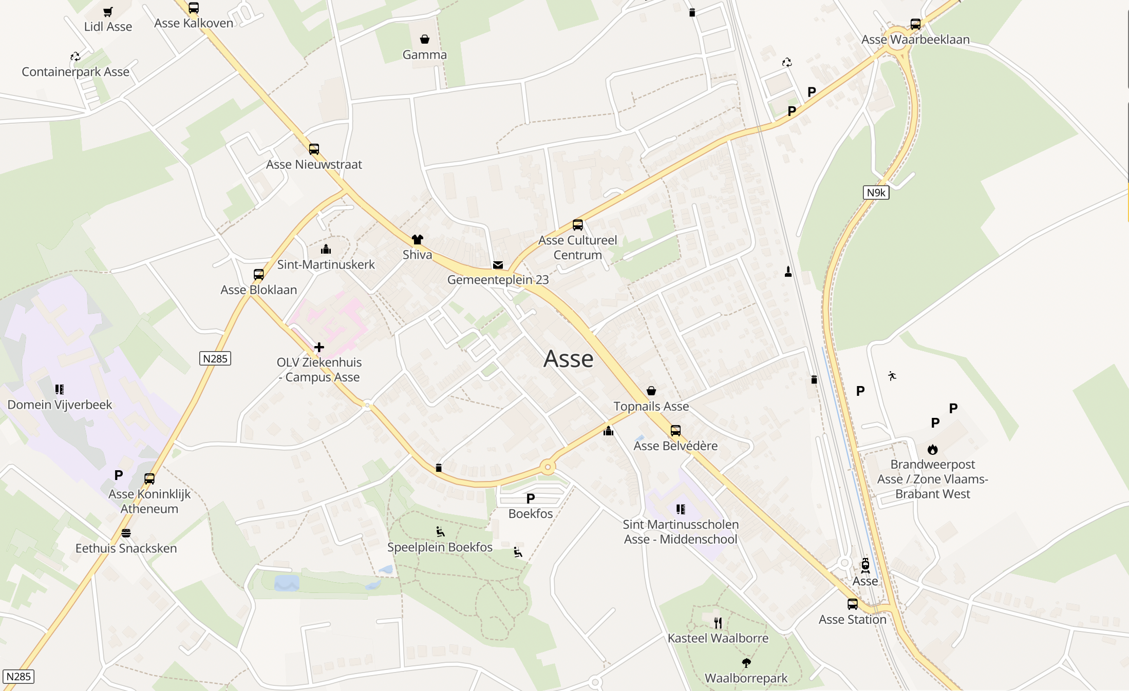
1. Empty map
2. Load or simulate origin-destination data
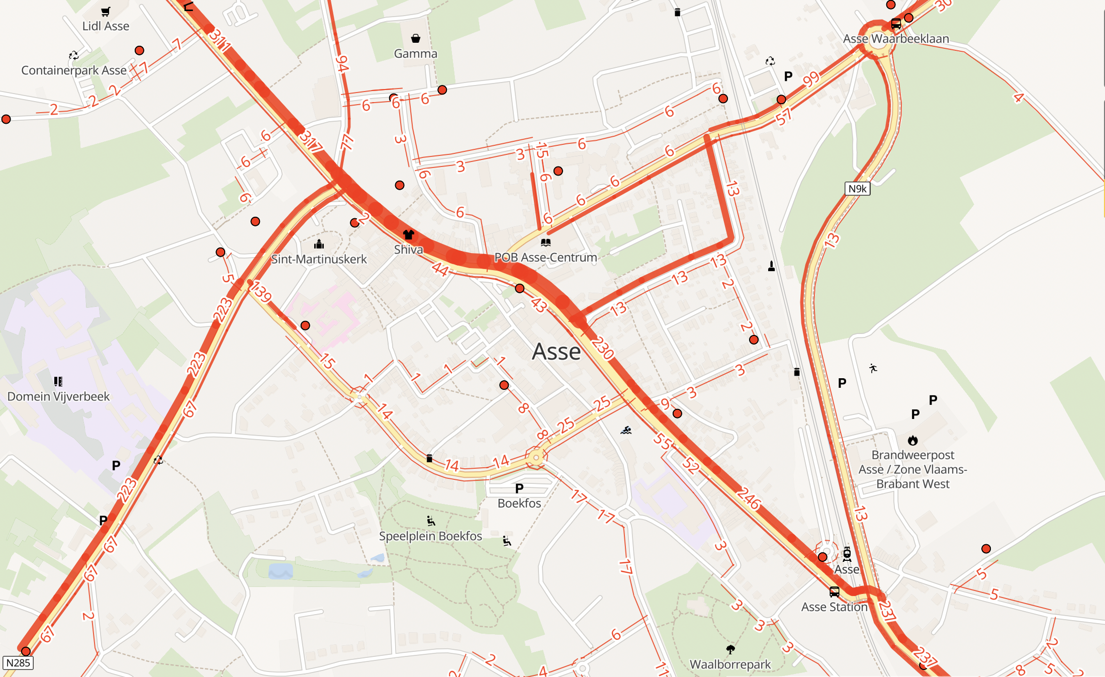
3. Data applied
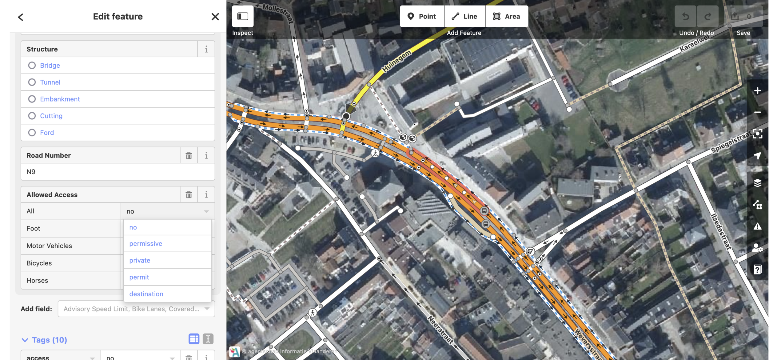
4. Edit road network
5. Data applied after changes
A communications tool for planned scenarios
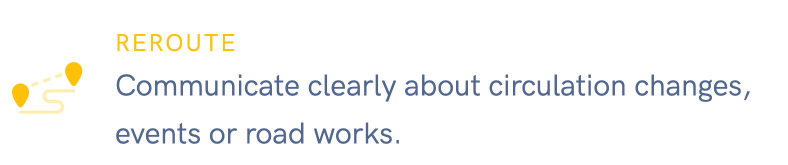
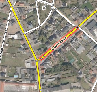
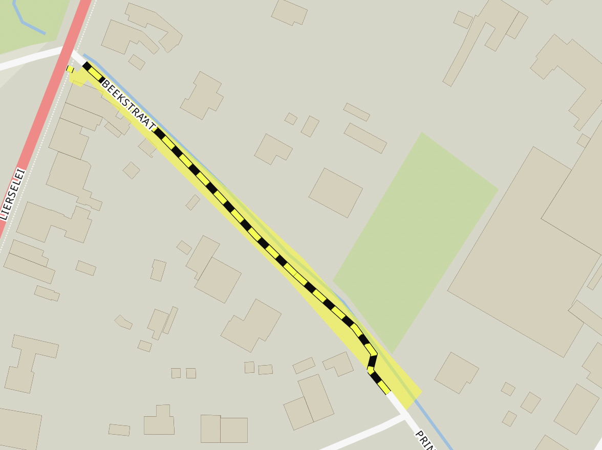
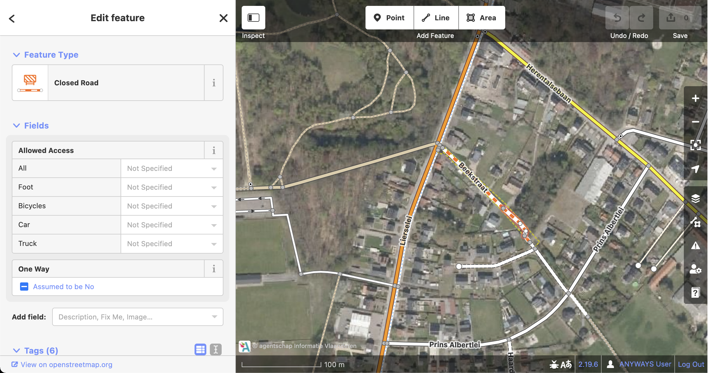
A tool to generate open data about road closures.
Model road closure exactly
Once modelled we can publish DATEX using OpenLR
OSM delivers value not only to us...
ben@anyways.eu
@xivk@mstdn.social
www.anyways.eu
By Ben Abelshausen


