DDCM Network for Semantic Mapping of Remote Sensing Images
Qinghui Liu, Michael Kampffmeyer,
Robert Jenssen, and Arnt-Børre Salberg

May. 9, 2019
Introduction
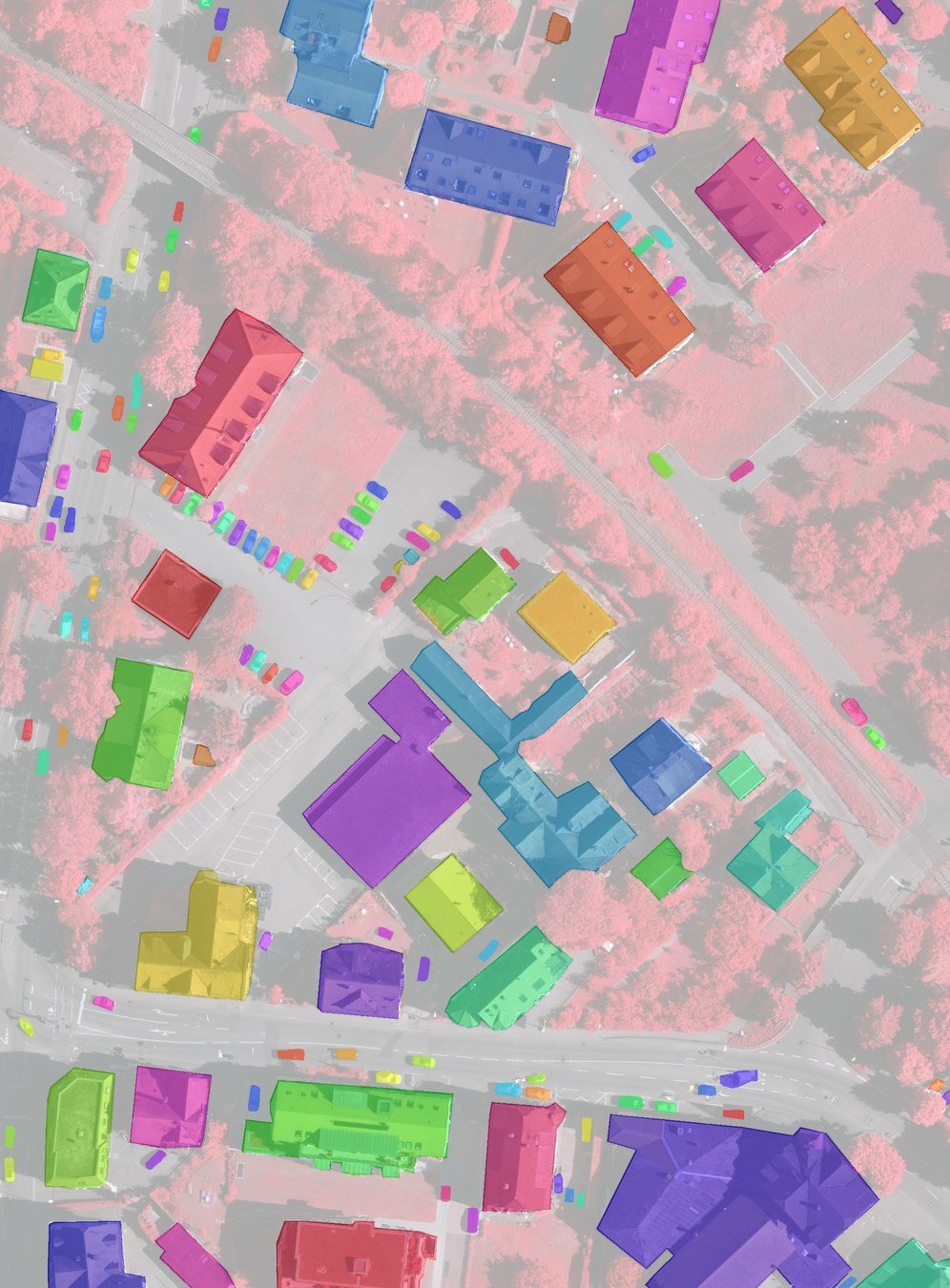
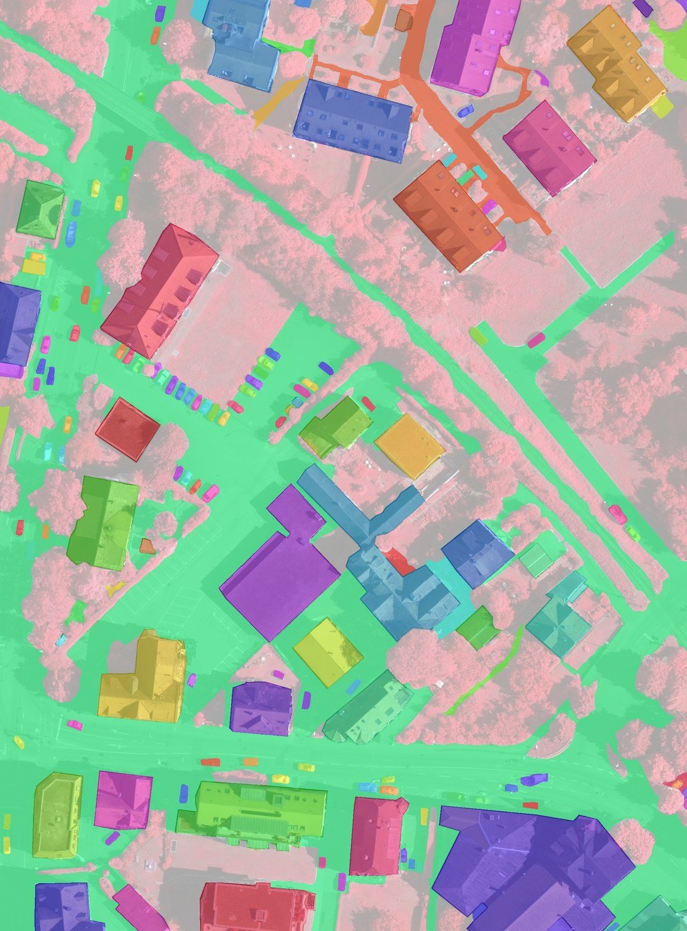
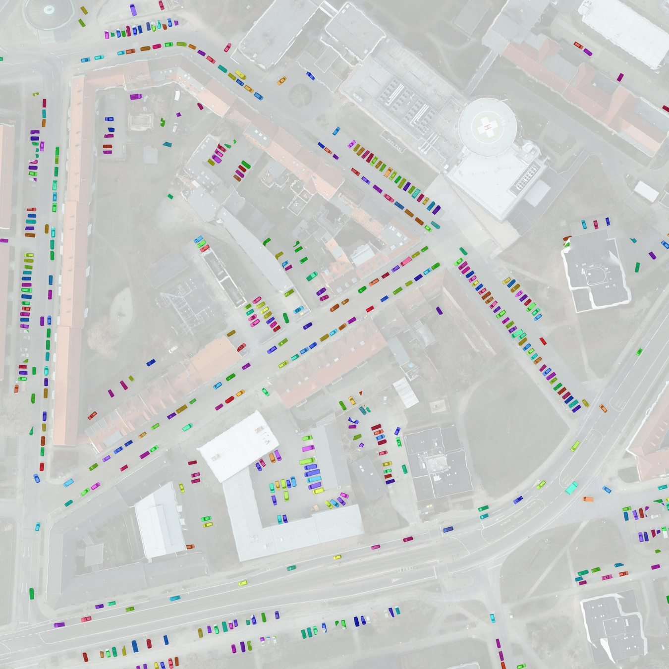
Semantic Mapping
ISPRS Vaihingen IR-RG Image :
http://www2.isprs.org/commissions/comm3/wg4/2d-sem-label-vaihingen.html
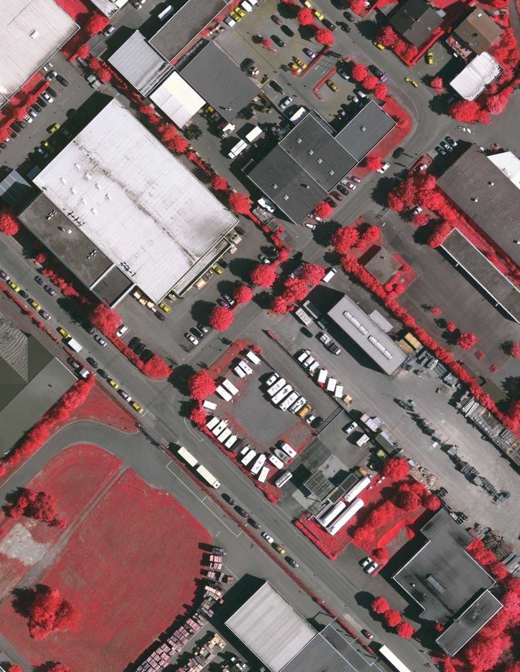
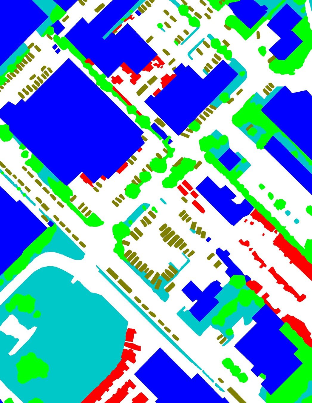

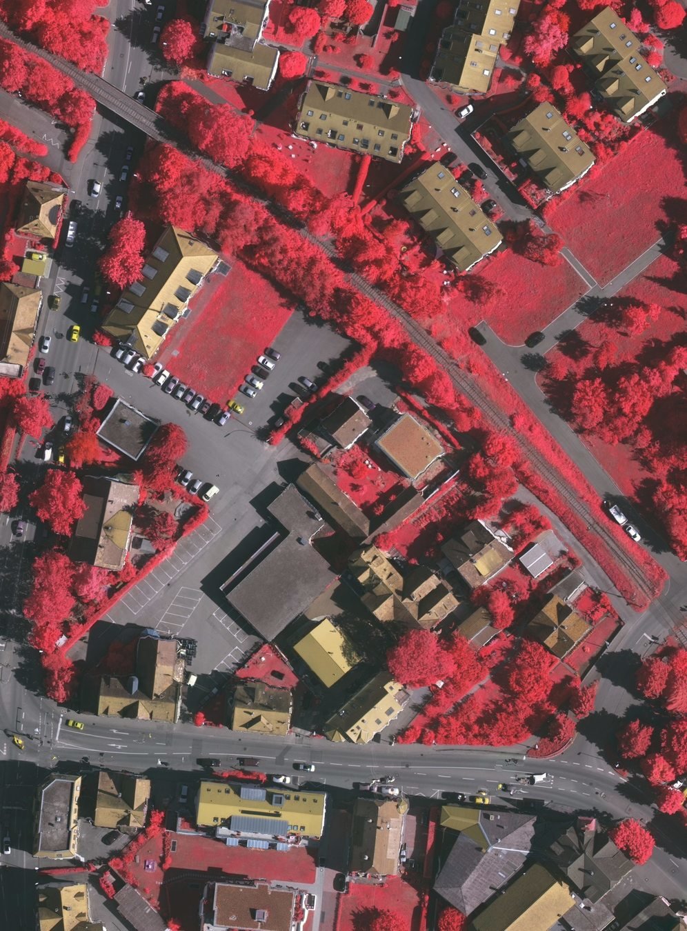
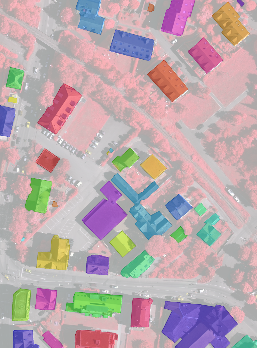
semantic segmentation / scene parsing / pixel-wise classification


Methods

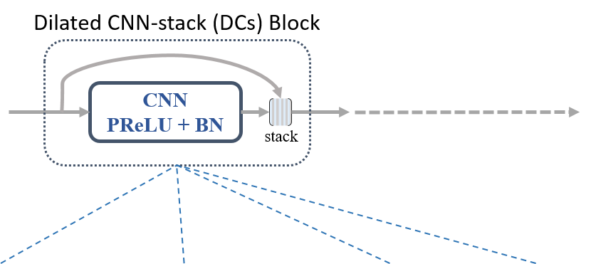
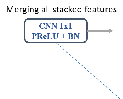
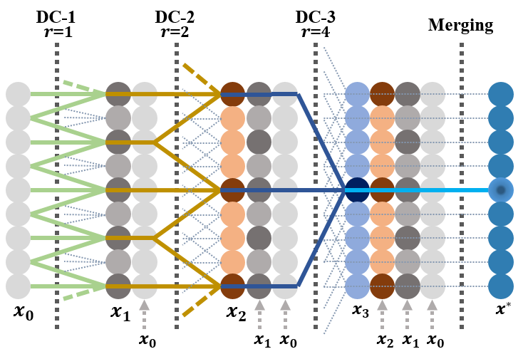
The DDCM architecture composed of N DC modules with various dilation rates { 1, 2, 3, ... , N }.
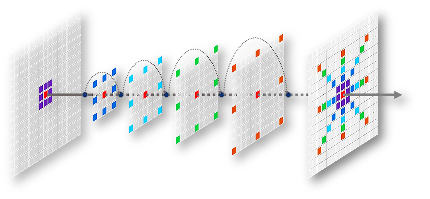
End-to.end pipeline of DDCM-Net for semantic mapping of remote sensing images.
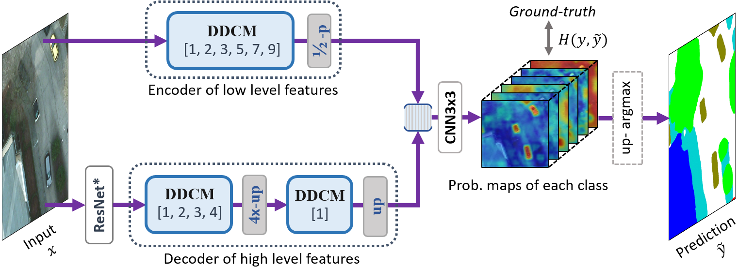

DDCM-ResNet50 Details with 3 x 256 x 256 Input Size
Results
Public Remote Sensing Datasets
ISPRS Vaihingen: http://www2.isprs.org/commissions/comm3/wg4/2d-sem-label-vaihingen.html
ISPRS Potsdam: http://www2.isprs.org/commissions/comm3/wg4/2d-sem-label-potsdam.html


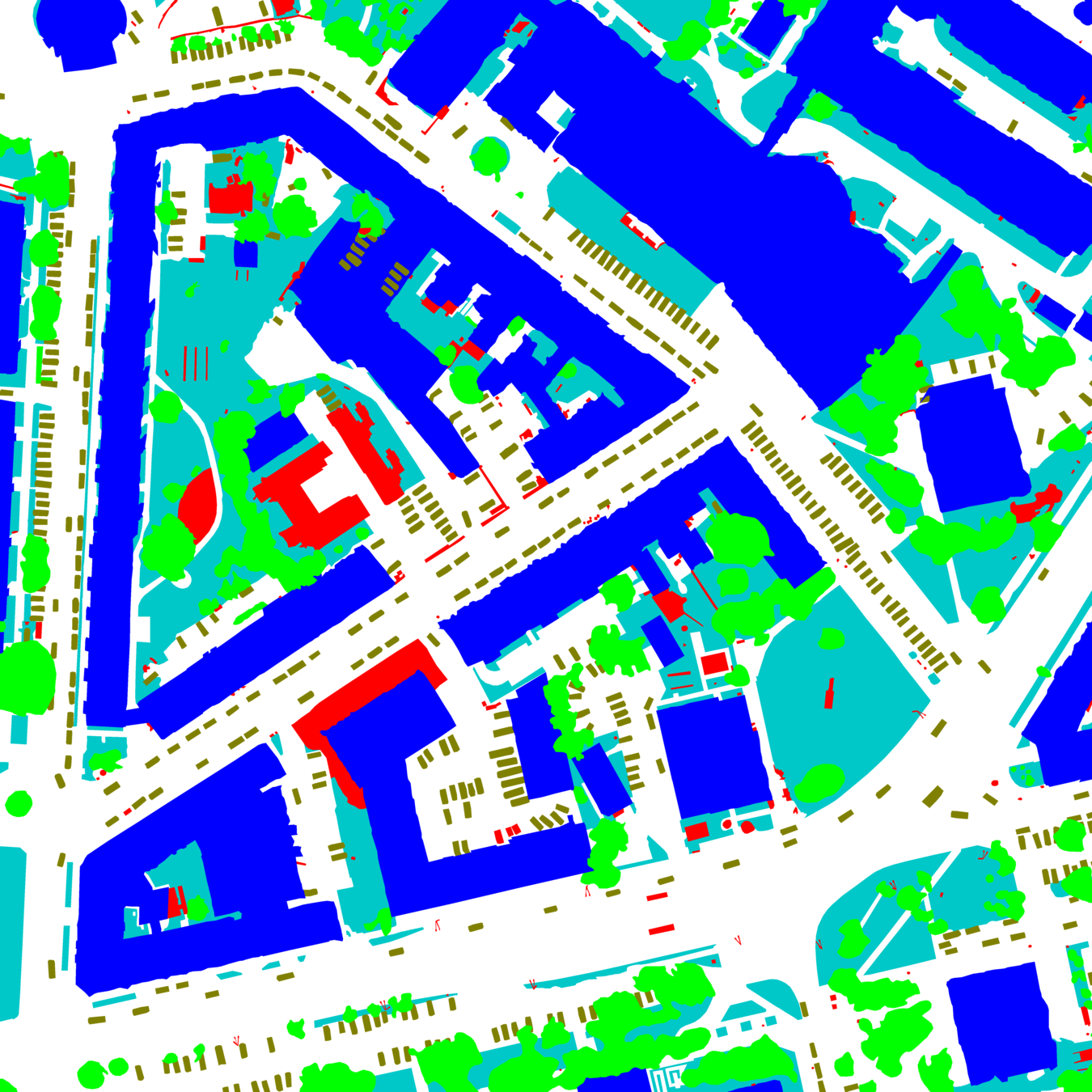

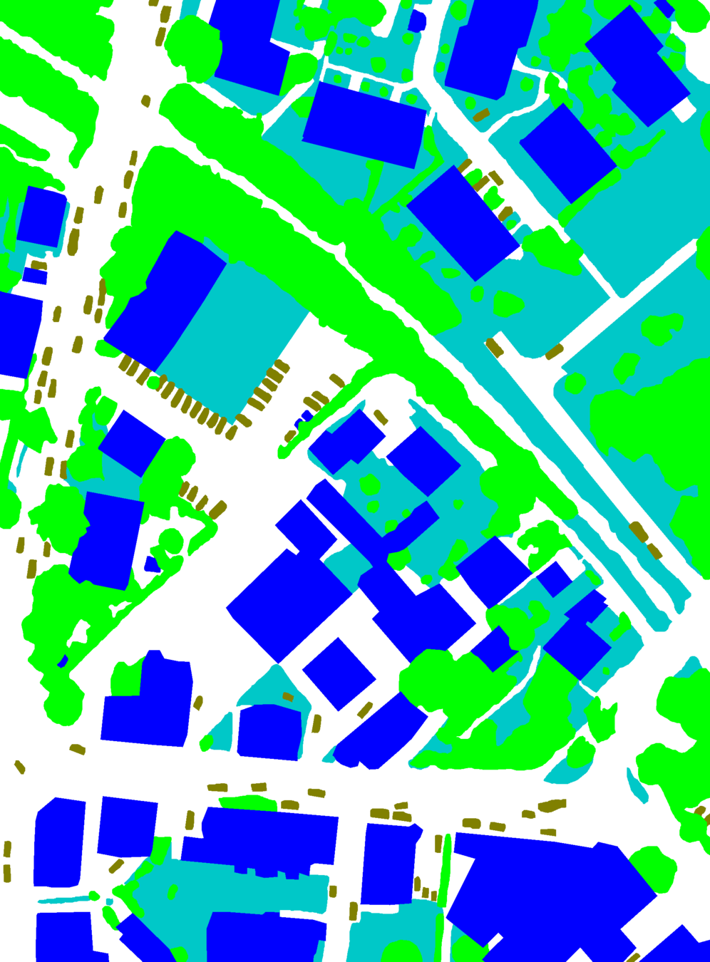
Comparison: Parameters Size, GFLOPs and mIoU
(-1.5%)
(+6x)
(+3x)
(GFLOPs measured on input size 3 x 256 x256),


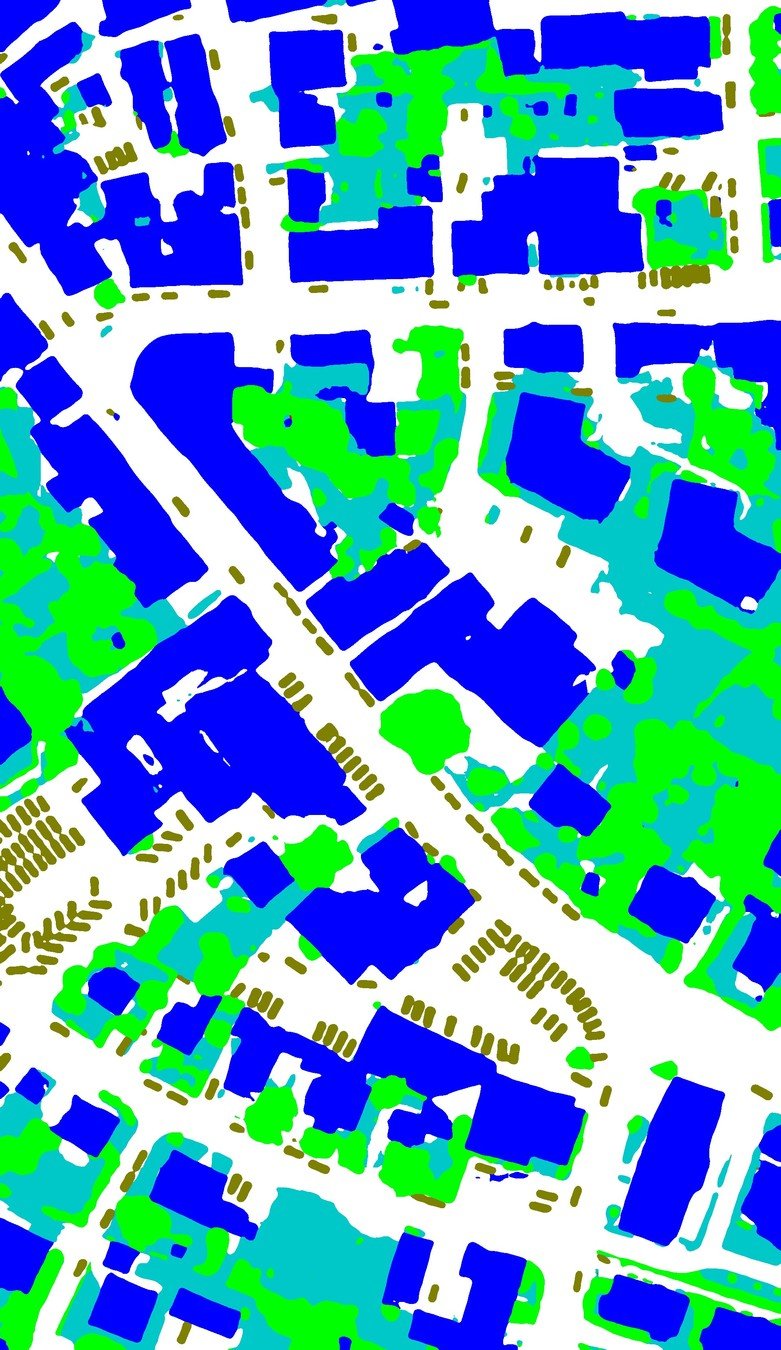
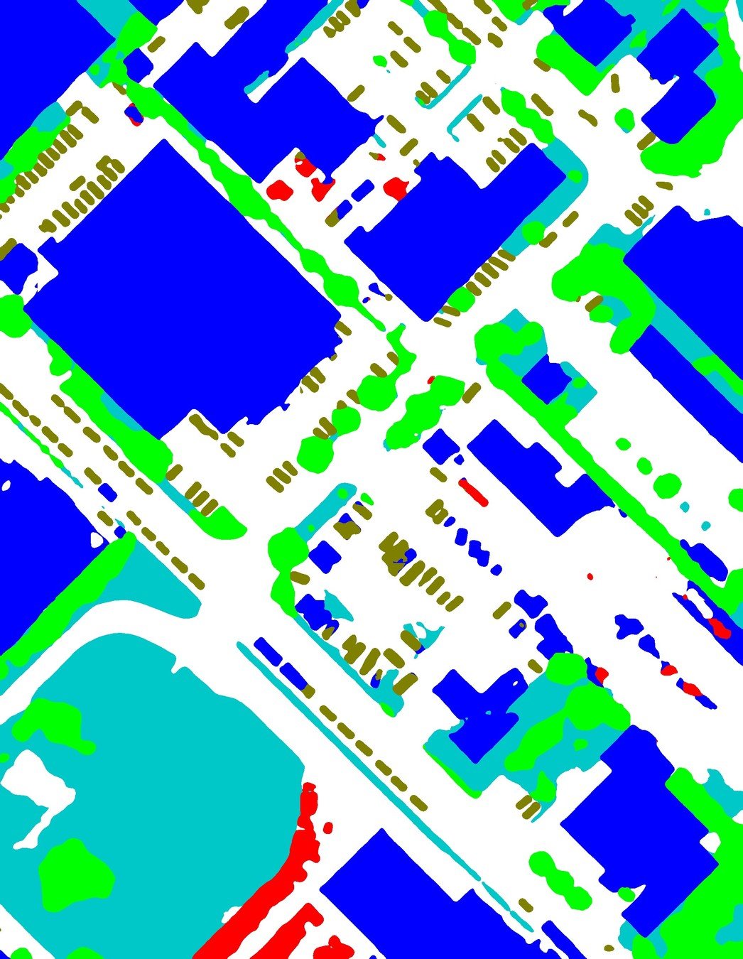
Potsdam hold-out (14 unseen images) test results.
Vaihingen hold-out (17 unseen images) test results.
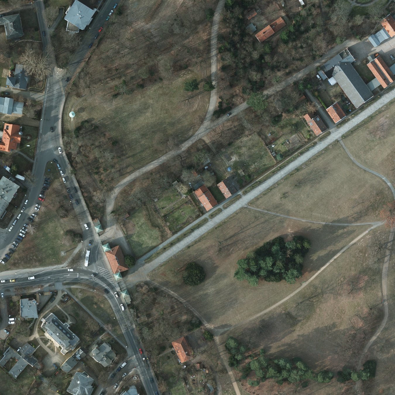
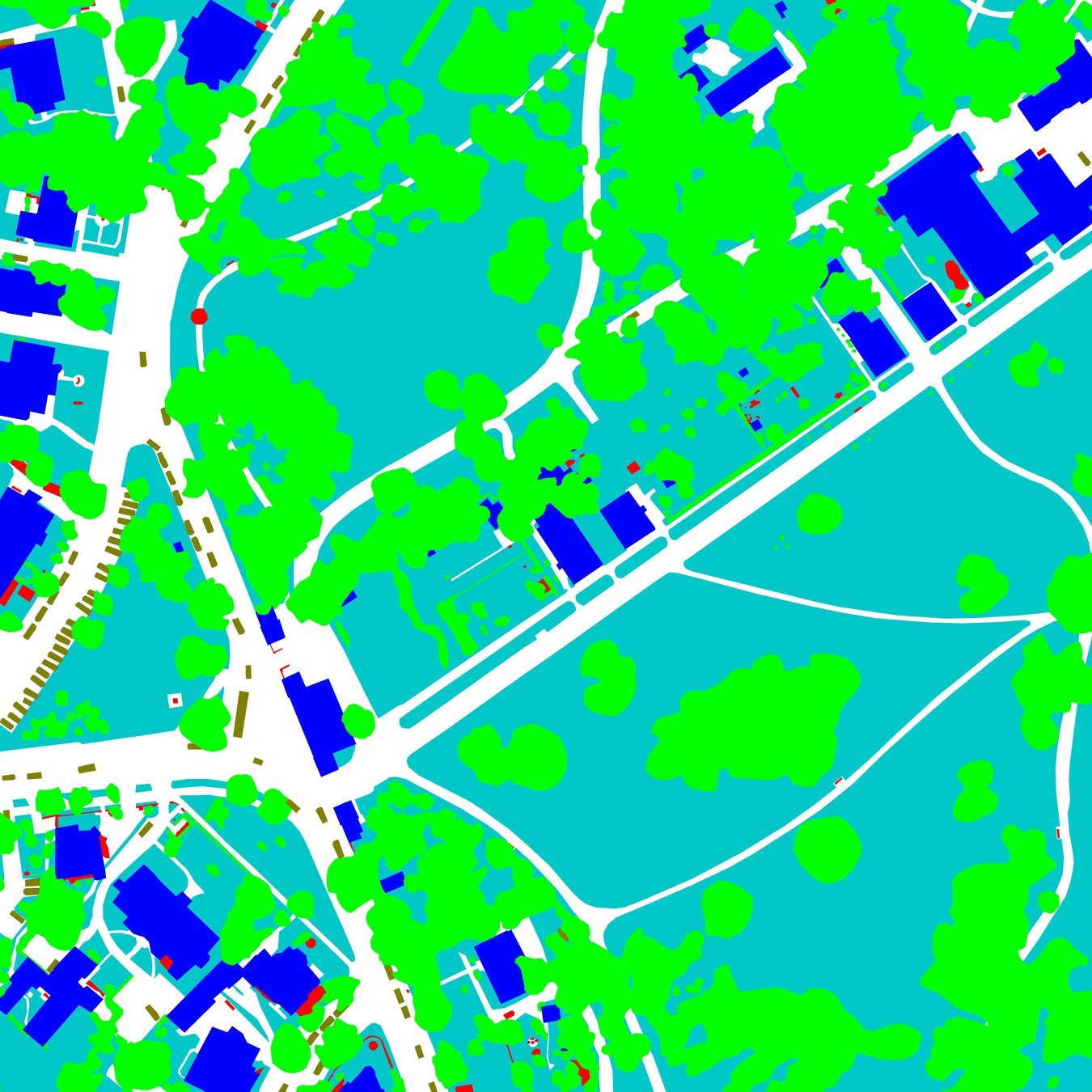
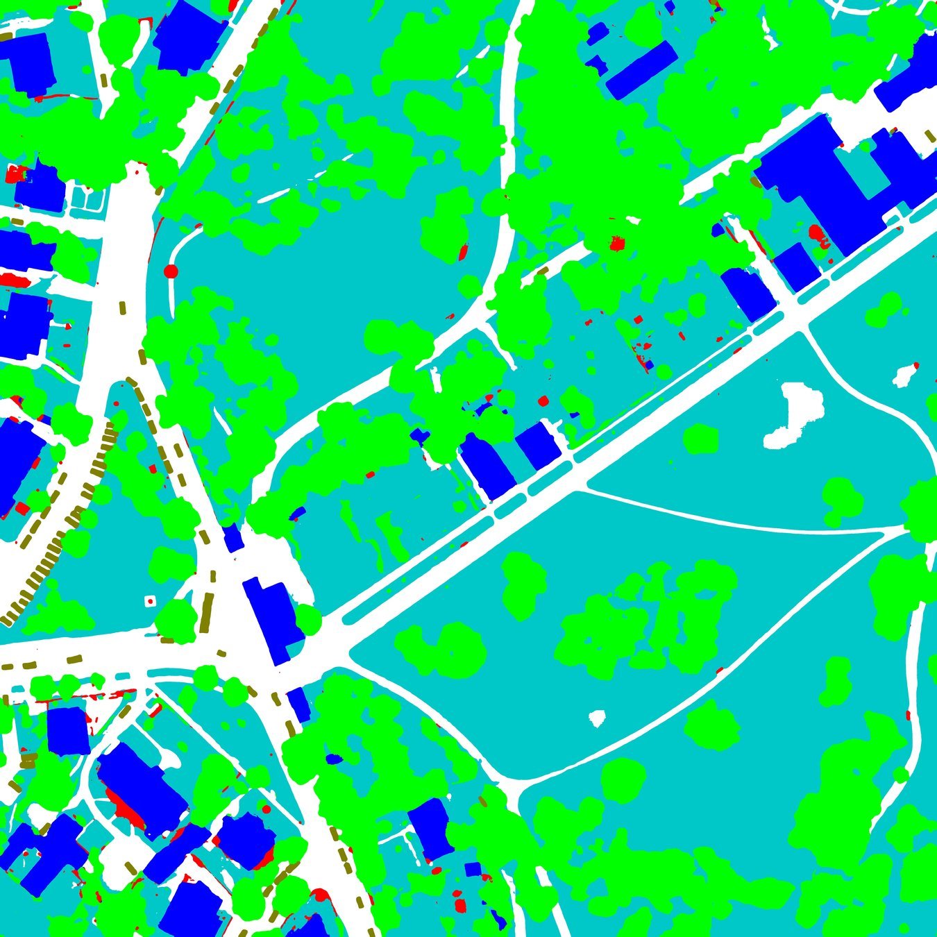
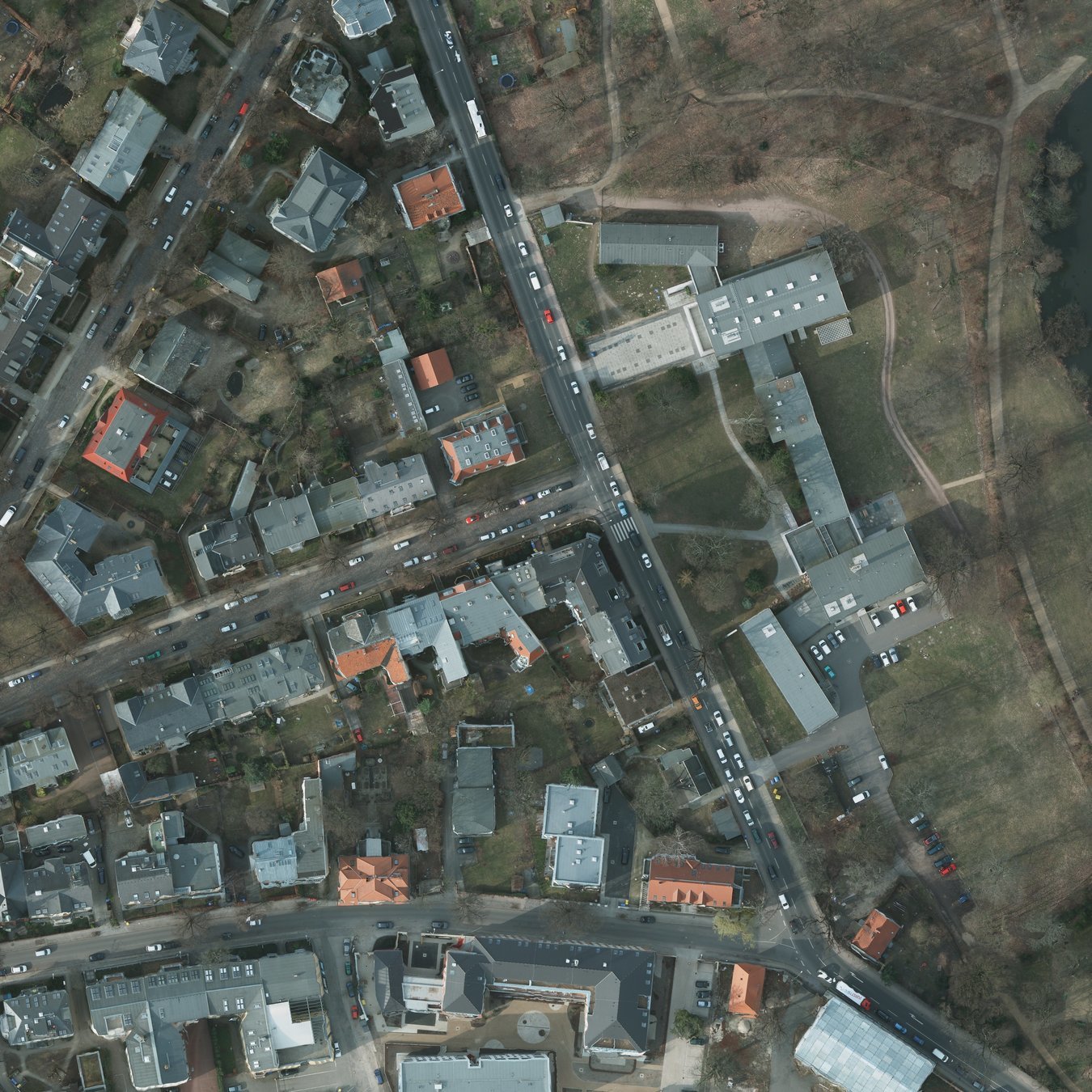
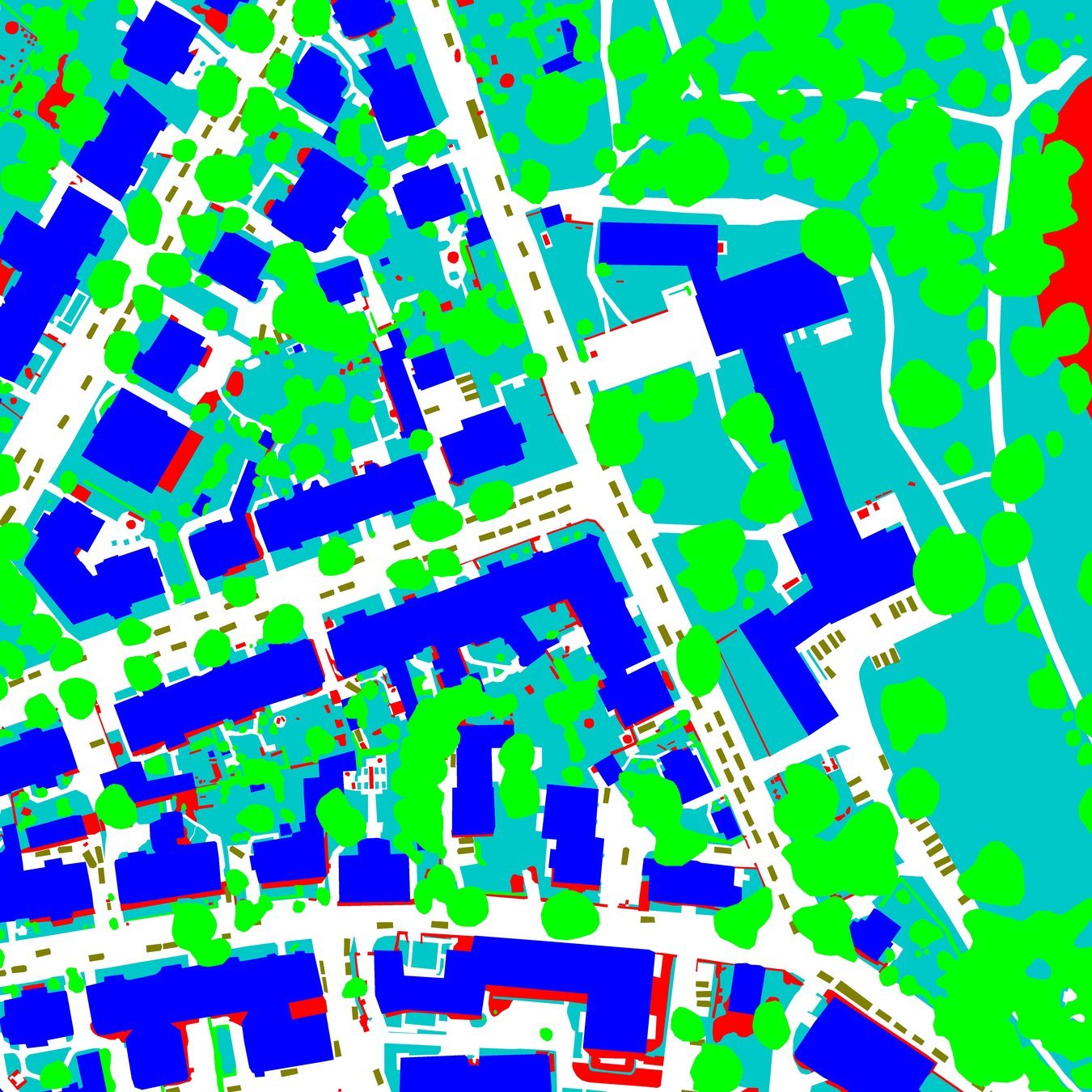
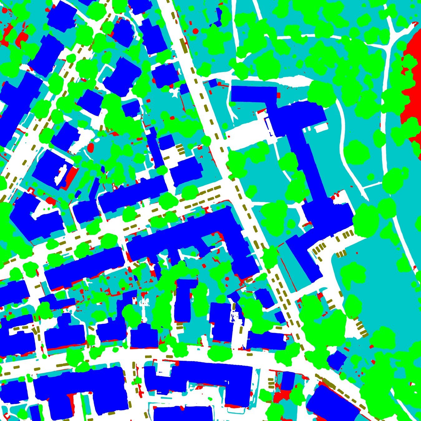


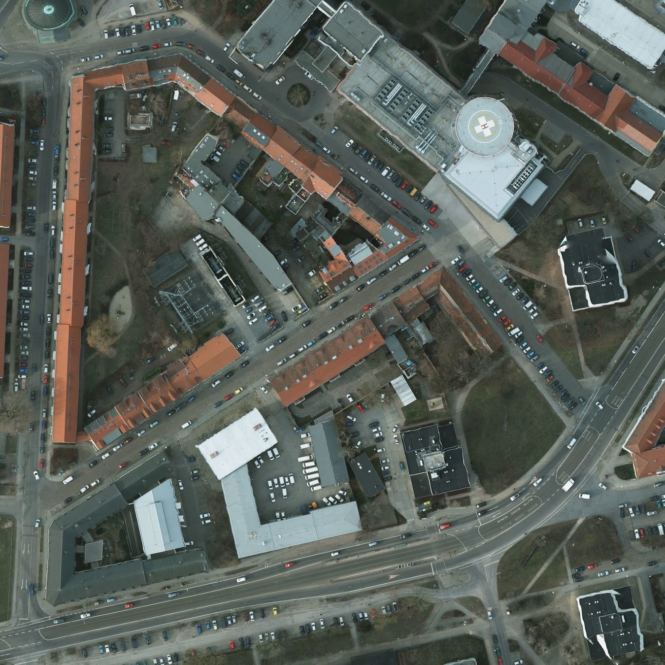
Test Image
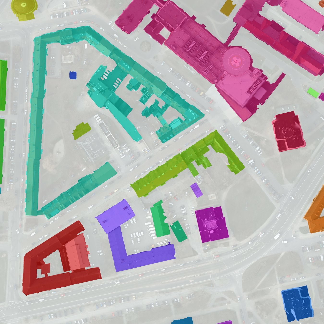
Predition
GT
Potsdam RGB, 5cm
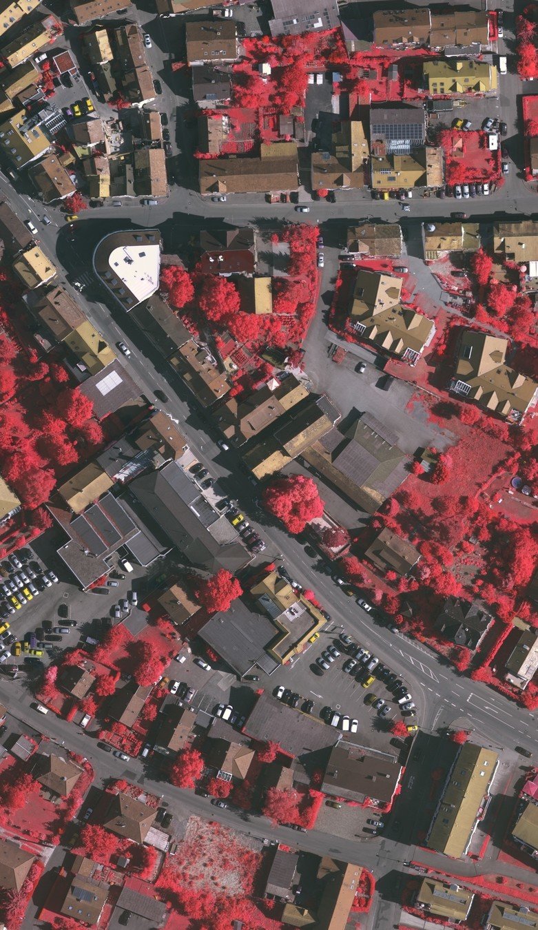
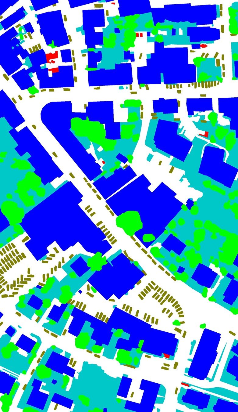


Test Image
Predition
GT

Vaihingen IR-RG
Thanks @ Merci...
Conclusions
- Fast and Accurate
- Simple and Robust
- Flexible and Efficent
Thank You
Questions?
nldl2019-ddcm
By Brian Liu
nldl2019-ddcm
NLDL2019 talk
- 1,836


